Hiking in Crete: Best Gorges, Mountain Trails and When to Go
Plan hiking in Crete with the best gorges and mountain routes, distances, ascent and walking times, how to reach each trailhead, and the seasons that suit you.
On this page
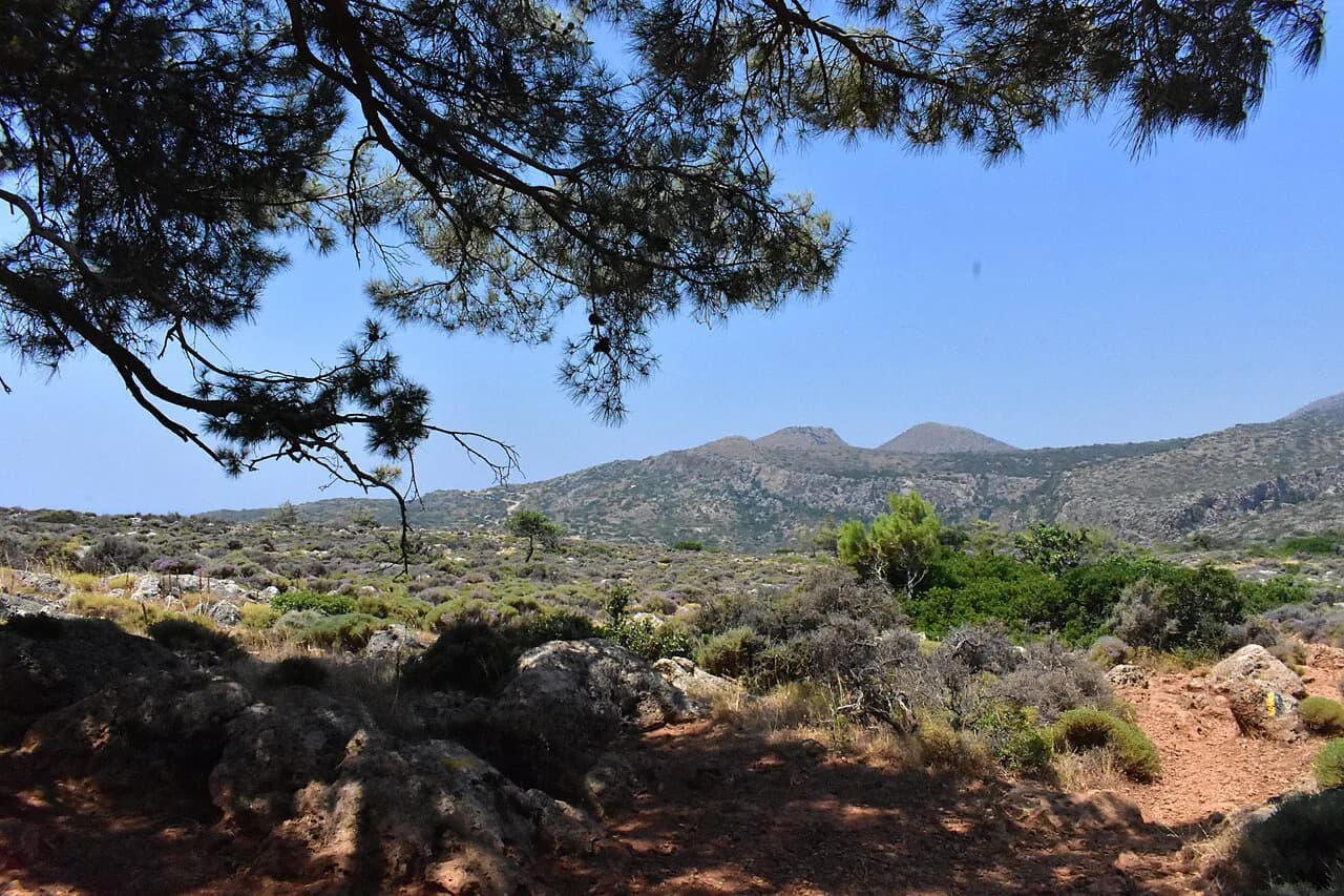
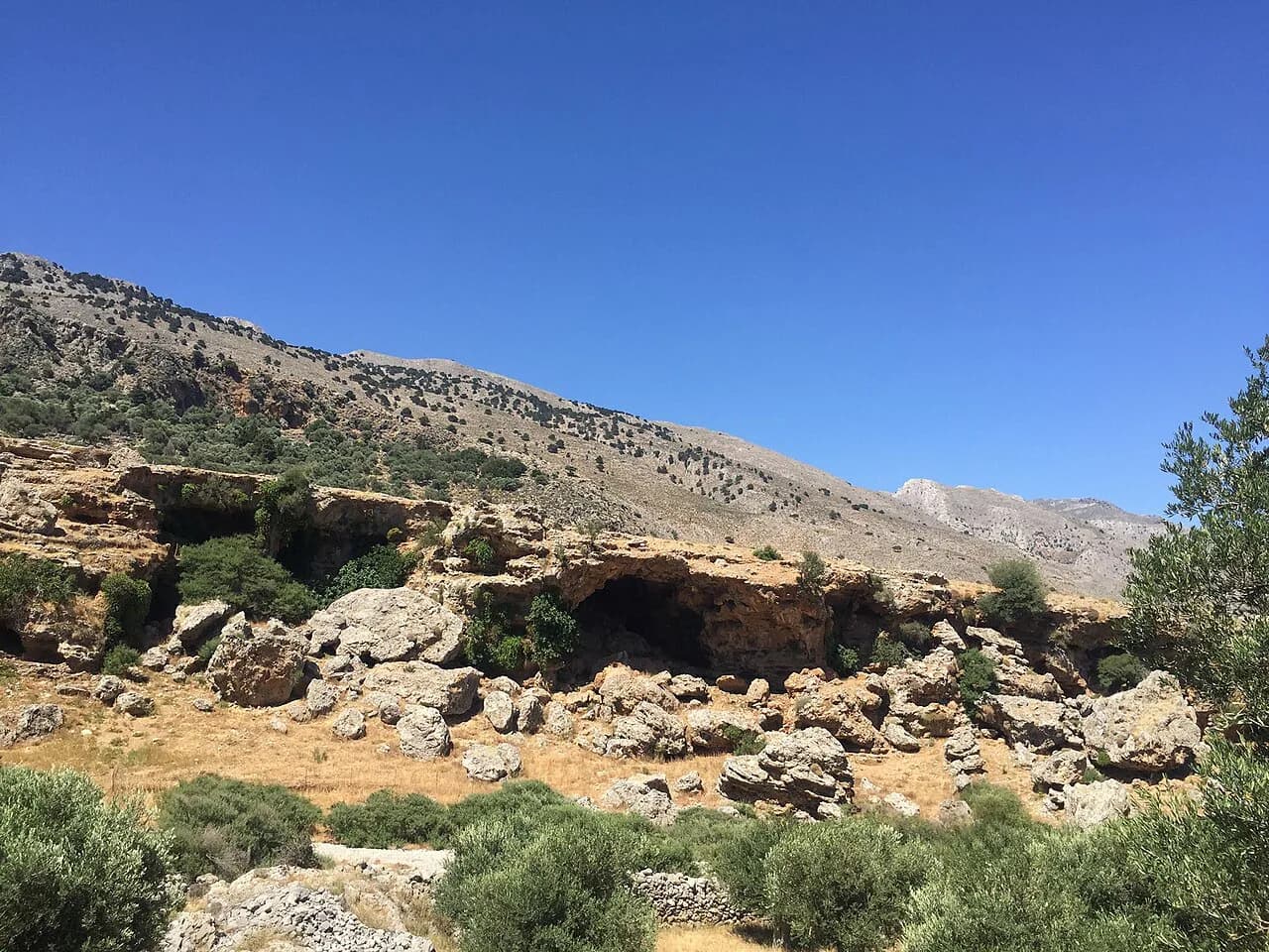
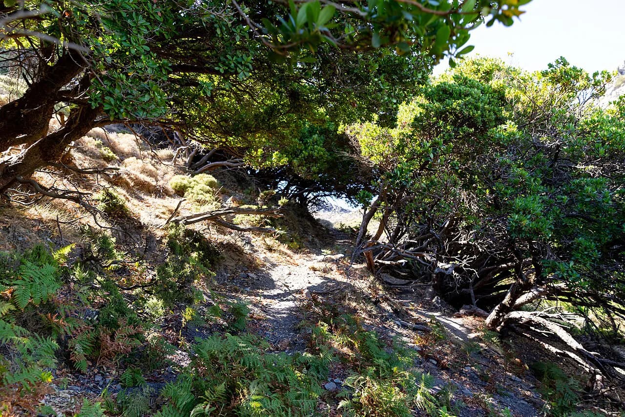
Crete is one of the Mediterranean's great hiking islands: limestone gorges cut through the White Mountains (Lefka Ori) in the west, the Psiloritis range rises to Mount Ida in the center, and the E4 long-distance trail runs the length of the island from east to west. You can walk a shaded canyon in the morning and stand on exposed high ground above 1,400 m (4,600 ft) the same afternoon.
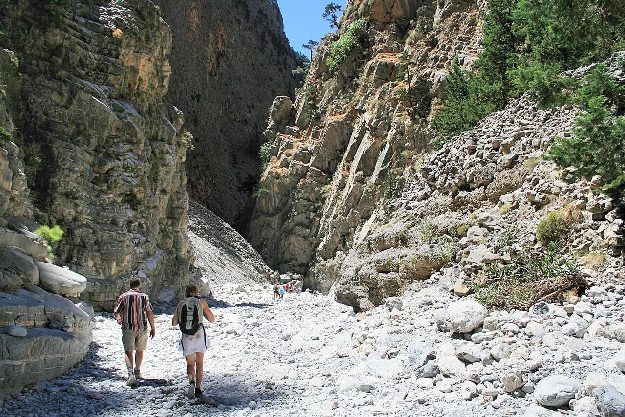
The gorges are the reason most hikers come, and they sort neatly by effort. Samaria is the long, famous day; Agia Irini and Imbros are half-day descents that suit first-time gorge walkers; Preveli, Kourtaliotiko and Mili fit around a beach afternoon or a Rethymno base. Pick by fitness and available hours rather than by reputation, and the island rewards you.
Almost every gorge walk is one-directional, so the real planning work is the return leg: a bus or taxi from the exit village back to your car, or a boat along the south coast. Work that out before you set off, then the walking itself is simple.
Which Crete gorge suits your fitness and time
Treat the gorges as three tiers. The big day is Samaria at 16 km (10 miles), 5–7 hours and medium–hard, descending from Xyloskalo near the Omalos Plateau to the coastal village of Agia Roumeli on the Libyan Sea. The middle tier is Agia Irini at 7 km (4.3 miles) and 3–4 hours on a medium trail, plus Imbros at 8.5 km (5.3 miles), 2–3 hours and easy. The short tier is Preveli, Kourtaliotiko, Mili, Zakros and Sarakina, all comfortably inside half a day.
Gorge walking is mostly descending, which is kind to your lungs and hard on your knees. The Samaria descent is relentless from roughly the fourth kilometre, so if you have knee trouble, trekking poles and a shorter gorge such as Imbros make a better day. Underfoot, the riverbeds are uneven and the rock polished and slippery in places, so wear proper walking shoes rather than trainers.
Samaria Gorge: Xyloskalo to Agia Roumeli
The Samaria Gorge hike runs 16 km (10 miles) through the heart of the White Mountains and takes most walkers 5–7 hours at medium–hard difficulty. You start at Xyloskalo on the Omalos Plateau in the north and finish at Agia Roumeli on the Libyan Sea. The Iron Gates, where the walls close to three or four metres (10–13 ft) across and rise hundreds of metres overhead, are the section everybody remembers.
The first kilometre opens with wide views over the plateau rim; the next stretch drops into forest where the gorge narrows and cools, before the walls open again into cypress and pine. Because the route is one-way, you need to reach Xyloskalo early and plan the exit: Agia Roumeli is a boat and bus village, and the return leg along the south coast is part of the day's logistics, not an afterthought.
Samaria National Park typically opens in May and closes by the end of October, with exact dates set each year on safety grounds. If you are in Crete sometime between May and October, the gorge is the hike to build a day around; outside that window, plan a different walk.
Agia Irini Gorge: the quieter western alternative
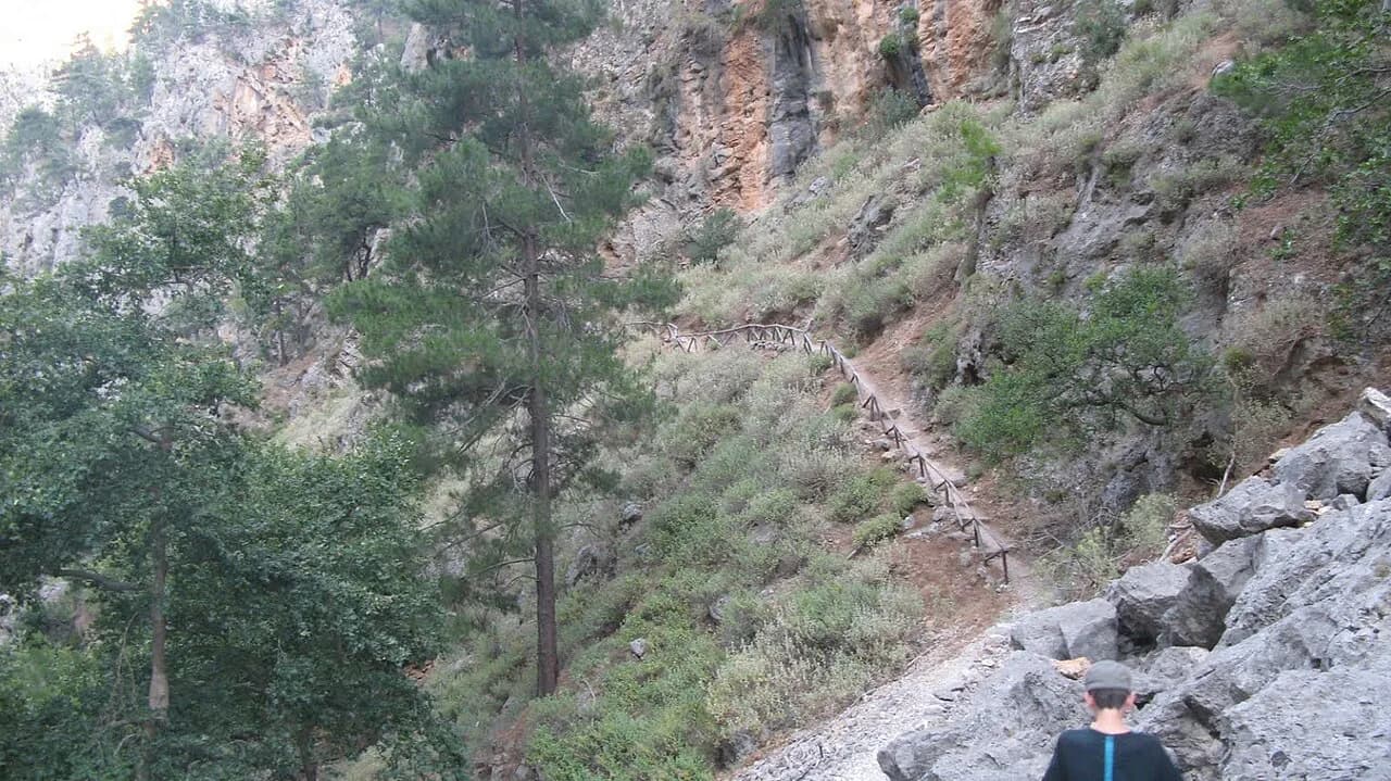
Agia Irini is the answer if Samaria's crowds and long logistics feel like too much. The standard trail is 7 km (4.3 miles) and 3–4 hours at medium grade, starting in the village of Agia Irini and running south through towering limestone walls studded with small caves and thick with wild herbs, cypress and maple. The endangered Cretan wild goat, the kri-kri, lives on these cliffs and occasionally shows itself.
If you have the energy, continue past the gorge exit to the small seaside village of Sougia, where tavernas sit above the Libyan Sea. That extension adds another 5.5 km (3.4 miles), taking the day to roughly 12.5 km (7.8 miles), so start early if you want the full version.
The gorge sits about an hour's drive from Chania, the natural base for the west, and steep descents appear in its lower half. Mobile signal is weak along much of the route, so download an offline map before you enter.
Imbros Gorge: the best first gorge
Imbros is the gorge to recommend to someone who is not yet sure they are a hiker. The route drops 8.5 km (5.3 miles) from Imbros village to Komitades in 2–3 hours on an easy, well-marked path, with the walls growing higher and tighter until you reach the Xepitira Arch, a natural rock gateway through the limestone. Both ends have a taverna, which makes the logistics easier.
Start at Imbros village next to the parking area, where a large sign points you to the trail, and walk down rather than up. The going is straightforward but the path is strewn with small rocks and slippery in places, so give yourself time on the steeper steps. At Komitades you take a bus or taxi back to Imbros, which is why the descent direction matters.
Preveli Beach and Gorge: palm forest to lagoon
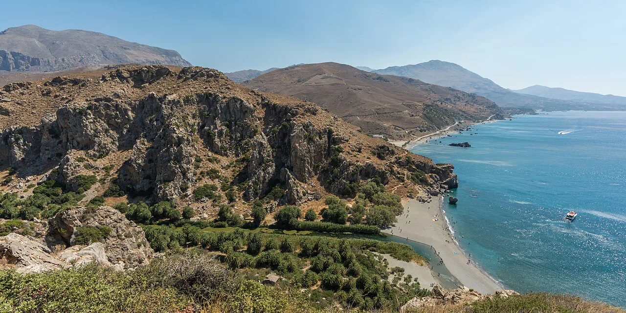
Preveli combines a river gorge, one of Europe's largest wild palm forests and a beach where the Megalopotamos river meets the sea in a shallow lagoon. The circular route is 7.5 km (4.7 miles), 2–3 hours at moderate grade, starting at the Megali Gefira Bridge and following the bank east to Preveli Beach. The Glymmenos Volakas rock sits just offshore.
The beach is busy from April to October because boats land directly on it, so the walk itself is far quieter than the destination. Go early and linger for the light, and expect company at the lagoon. The palm forest continues up the gorge from the beach and is the most surprising part of the day.
Zakros Gorge: east-coast walk to a Minoan palace
Zakros is the best-kept secret on this list: a gorge in the far east of the island, inside the Sitia Geopark, that delivers you straight to the Minoan palace of Kato Zakros on the Libyan Sea. The gorge section is 3 km (1.9 miles), or about 7 km (4.3 miles) if you start from Ano Zakros, taking 1.5–2 hours at easy–moderate grade. The palace was excavated from the 1960s and sits remarkably well preserved at the water's edge.
The route is out and back, around 11 km (6.8 miles) with close to 350 m (1,150 ft) of ascent, passing a viewpoint on an unpaved road, herbs and unusually formed rock, and a lot of goats. Free parking sits close to the trailhead, and the drive from Heraklion is about three hours, so plan a full day or stay in eastern Crete.
Kourtaliotiko, Mili and Sarakina: short gorges near Rethymno and south
Kourtaliotiko Gorge runs 4 km (2.5 miles) in 1.5–2 hours at easy–moderate grade through a deep limestone canyon between Koxaré and Asomatos, south of Rethymno. The path follows a mostly flat riverbed that stays shaded and cool, and the small waterfall and pool that give the gorge its name sit partway through. Look up for the cave church of Agios Antonios, built into the cliff wall above the gorge. The walk pairs naturally with Preveli Beach or Arkadi Monastery for a half-day loop from Rethymno.
Mili Gorge is 5 km (3.1 miles) and about two hours at moderate grade near Rethymno, running between Roussospiti and Mili past old ruins, watermills and small stone churches. Two cold lakes sit partway along, and the vegetation keeps the trail shaded even in high summer. A tourist bus stop is close to the route, though parking is informal and roadside.
Sarakina Gorge near Myrtos in the Ierapetra region is 7.5 km (4.7 miles) and about two hours at medium grade, a riverbed hemmed in by huge limestone boulders worn into natural arches. A dirt road leads to the riverbed entrance, and metal and wooden bridges carry the path past the most dramatic rock sections. Few visitors to Crete ever hear of it, so expect quiet.
Nida Plateau and Psiloritis: high ground in the center
If you want to understand Crete's scale, walk the Nida Plateau in the Psiloritis range. The route is 8.5 km (5.3 miles) and 4–5 hours at hard grade, on a plateau at 1,400 m (4,600 ft) where the landscape turns almost lunar. Mount Ida, the island's highest peak, rises above it, and Anogia is the usual starting point for the ascent.
This is exposed high ground, not shade: there are no trees, the sun is fierce at altitude and the terrain is rough underfoot. Add the Ideon Andron cave, a short walk from the road and the mythological childhood home of Zeus, and watch for the stone shepherd shelters, the mitata, still in use for cheese-making and raki distillation depending on the season.
White Mountains multi-day routes
For a longer trip in the White Mountains, self-guided formats link the Chania area with Samaria and the coast at Loutro, with an active period of May to July and September to October. These itineraries typically include the Samaria Gorge hike and a climb of Mt Gigilos, with overnight stops arranged along the way. The same operator publishes the full day-by-day schedule and what the self-guided format includes, so compare that against your own fitness before booking.
If you would rather walk independently, the same active windows dictate your dates: spring brings wildflowers and water in the riverbeds, autumn brings cooler air and thinner crowds. Outside those months, the high ground of the Lefka Ori is a different proposition and many coastal routes become the better option.
Aradena and the Sfakia gorges
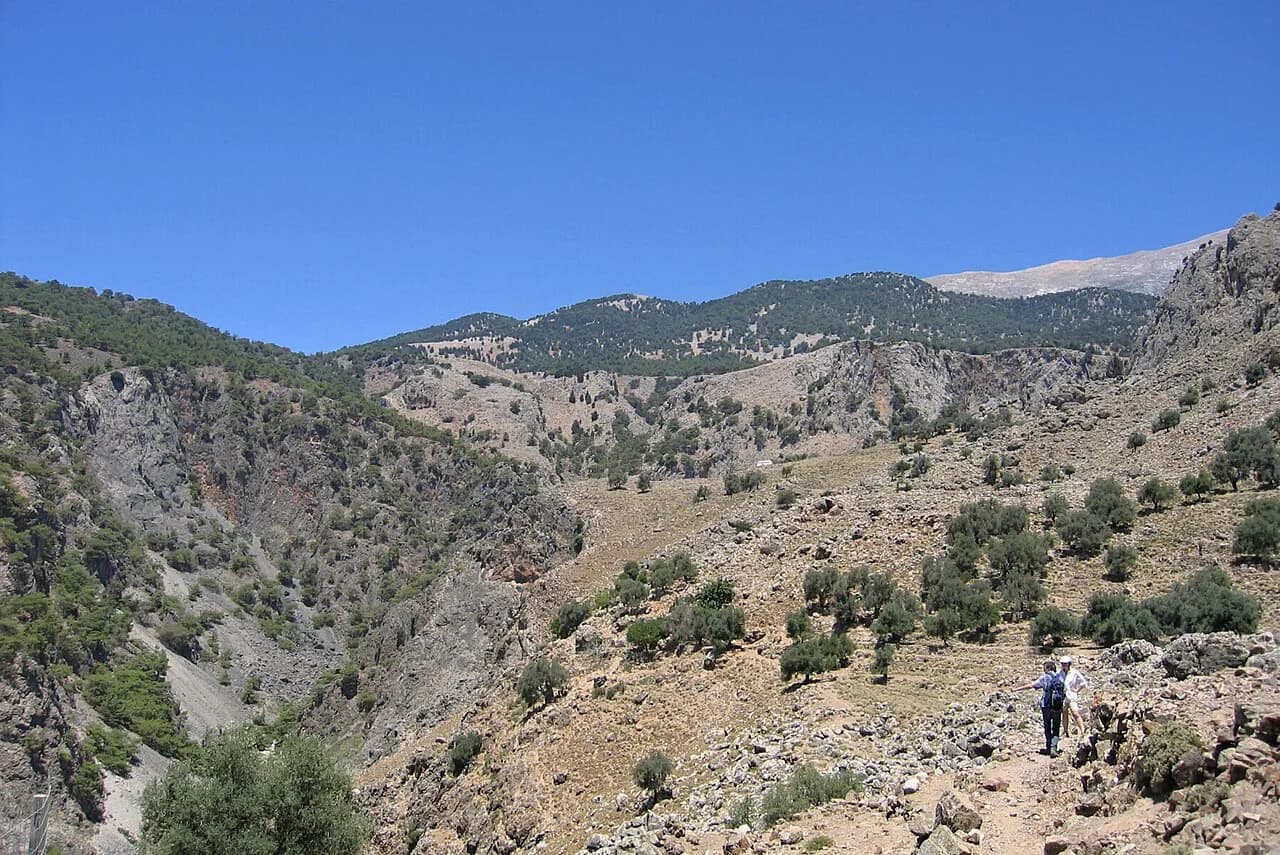
South of the White Mountains, the Aradena Gorge offers a sterner, less trafficked descent than the famous western gorges, dropping from the Aradena bridge area toward the coast. It suits hikers who already have a gorge or two behind them and want a wilder day with fewer people. Treat it as a step up in commitment, with a longer day and rougher ground underfoot.
The Aradena bridge marks the start, and the route follows the gorge down toward the Libyan Sea. Check the vertical gain, scrambling and route length on the route guide before committing, and line up your return transport from the coast, as with every one-way gorge on the island.
How to reach trailheads and get back to the start
Most Crete gorge trails are one-directional, so you need a bus, a taxi or a boat to get back to the start. Samaria ends at Agia Roumeli, where you pick up onward transport along the south coast; Imbros ends at Komitades, where a bus or taxi returns you to Imbros village. Sort this out before you set off rather than after three hours of walking.
For trailheads with parking, arrive early. The Samaria start at Xyloskalo fills quickly in high season, and the small free car park near the Richtis Gorge trailhead is limited. Where there is no dedicated car park, as at Mili Gorge, hikers leave cars along the road near the trail.
Taxis are a practical fallback for short transfers between gorge ends, and several gorge villages have bus service to the nearest town. Confirm the day's timetable with the local operator before you rely on the last departure, and carry enough water for the wait if the connection is thin.
When to go
Spring, meaning April and May, is the best all-round window: wildflowers, cooler temperatures and running water in the riverbeds. Autumn is the next best, and many walkers prefer it for the quieter trails and settled weather. Summer is doable but hot, and the busy gorges fill with people in July and August.
Samaria National Park typically opens in May and closes by the end of October, with exact dates set each year on safety grounds; the other trails on this list are generally accessible year-round. Summer heat builds through the morning, so start early whatever the season and carry more water than you think you need. Although Crete's weather is hot outside summer too, the shaded gorges are far more comfortable than the exposed high ground.
Where to base yourself
Chania is the base for the west: Agia Irini is about an hour's drive away, and the Samaria logistics run through the Omalos Plateau. Rethymno covers the central gorges, with Kourtaliotiko and Mili within easy reach and Preveli a short drive south. For the east, base yourself around Sitia for Zakros and the Ierapetra region for Sarakina.
For a multi-day White Mountains trip, Chania makes the natural start and Loutro the coastal finish, with the self-guided routes covering the transfer between them. Anogia is the base for the Nida Plateau and Psiloritis, putting you on the high ground within a short drive.
Plan Your Crete Hiking Trip
Pick your gorges by fitness first: Samaria if you want the big day and can handle 5–7 hours of downhill, Agia Irini or Imbros if you want shade and a half-day, Preveli, Kourtaliotiko, Mili or Zakros if you want short walks with a beach or a palace at the end. Add the Nida Plateau only if you want exposed high ground and are prepared for the altitude and sun. If you are weighing islands for the same kind of gorge-and-coast day, our guide to hiking in corfu covers the Ionian alternative, and hiking in Europe has more island routes to compare.
Book your base around the walks you want: Chania for the west, Rethymno for the center, Sitia or Ierapetra for the east. Then plan the return leg from each gorge exit before you set off, and keep the boat and bus options in mind for the long one-way routes.
Explore more Crete hiking guides
Frequently Asked Questions
How long does it take to walk the Imbros Gorge?
Most hikers walk the 8.5 km (5.3 miles) route from Imbros village down to Komitades in 2–3 hours. It is an easy, well-marked descent with the Xepitira Arch partway through. Because it is one-way, plan a bus or taxi from Komitades back to Imbros before you start.
Why is the Samaria Gorge closed?
Samaria National Park typically opens in May and closes by the end of October, with exact dates set each year based on safety conditions. Any earlier or later closure is announced by the park itself, so check the official Samaria National Park site before you travel if your dates sit near the edges of that window.
What is the best time of year to go hiking in Crete?
April and May are the best all-round months, with wildflowers, cooler temperatures and running water in the gorges. Autumn is close behind for quieter trails and settled weather. Summer is doable but hot, and the famous gorges are crowded in July and August.
Which Crete gorge is best for beginners?
Imbros is the best first gorge: 8.5 km (5.3 miles), 2–3 hours, easy grade, with a taverna at each end. Preveli Beach and Gorge (7.5 km, 2–3 hours) and Mili Gorge (5 km) are also good beginner options, with shade and a clear route.
How do you get back to the start of a one-way gorge hike in Crete?
Most gorge trails end in a different village from where they start. Samaria finishes at Agia Roumeli and Imbros at Komitades, and both exits have bus or boat connections along the south coast. Arrange the transfer before you begin, and confirm the day's timetable with the local operator.
Can you hike in Crete outside summer?
Yes, and it is often better. Spring and autumn are the best seasons, with cooler temperatures and fewer people on the trails. Samaria National Park operates from May to the end of October, while the other gorges on this list are generally accessible year-round.
Sources
Trail notes for your next trip
Optional updates when we add or revise hiking guides.
You might also like
Continue reading
More guides you'll find useful