Imbros Gorge Hike: Route, Distance and Getting Back
The Imbros Gorge hike descends 8 km from Imbros village to Komitades in about 2.5 hours, with a rocky riverbed, narrow gates and a taxi back to the top.
On this page
The Imbros Gorge hike delivers a full ravine experience in a single morning: a one-way descent of 8 km (5 miles) between limestone walls in the White Mountains of western Crete, finishing near the Libyan Sea. It suits hikers of average fitness who want the drama of a Cretan gorge without the length and crowds of the better-known Samaria walk. The route is short enough to pair with a taverna lunch at Komitades and a swim at Sfakia the same afternoon.
Where the Imbros Gorge is
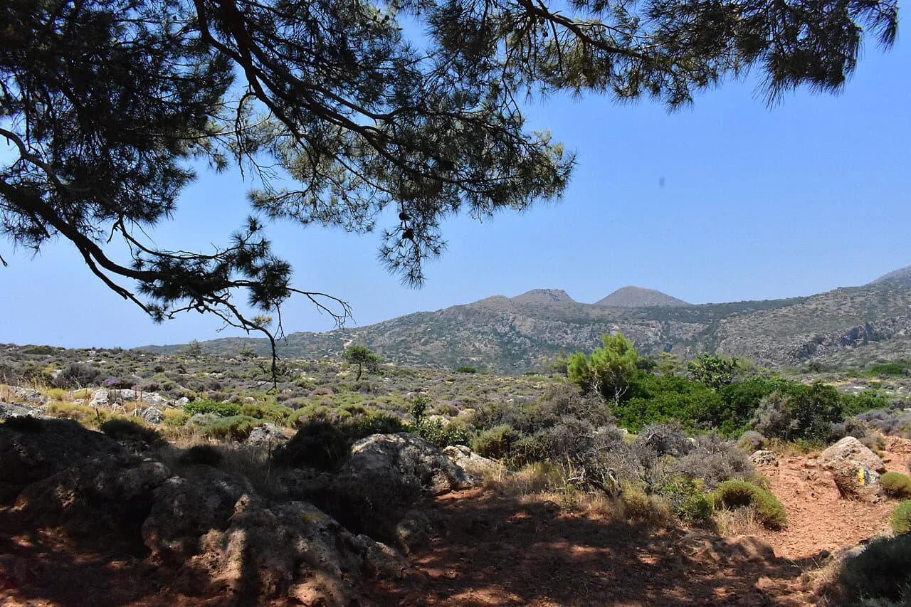
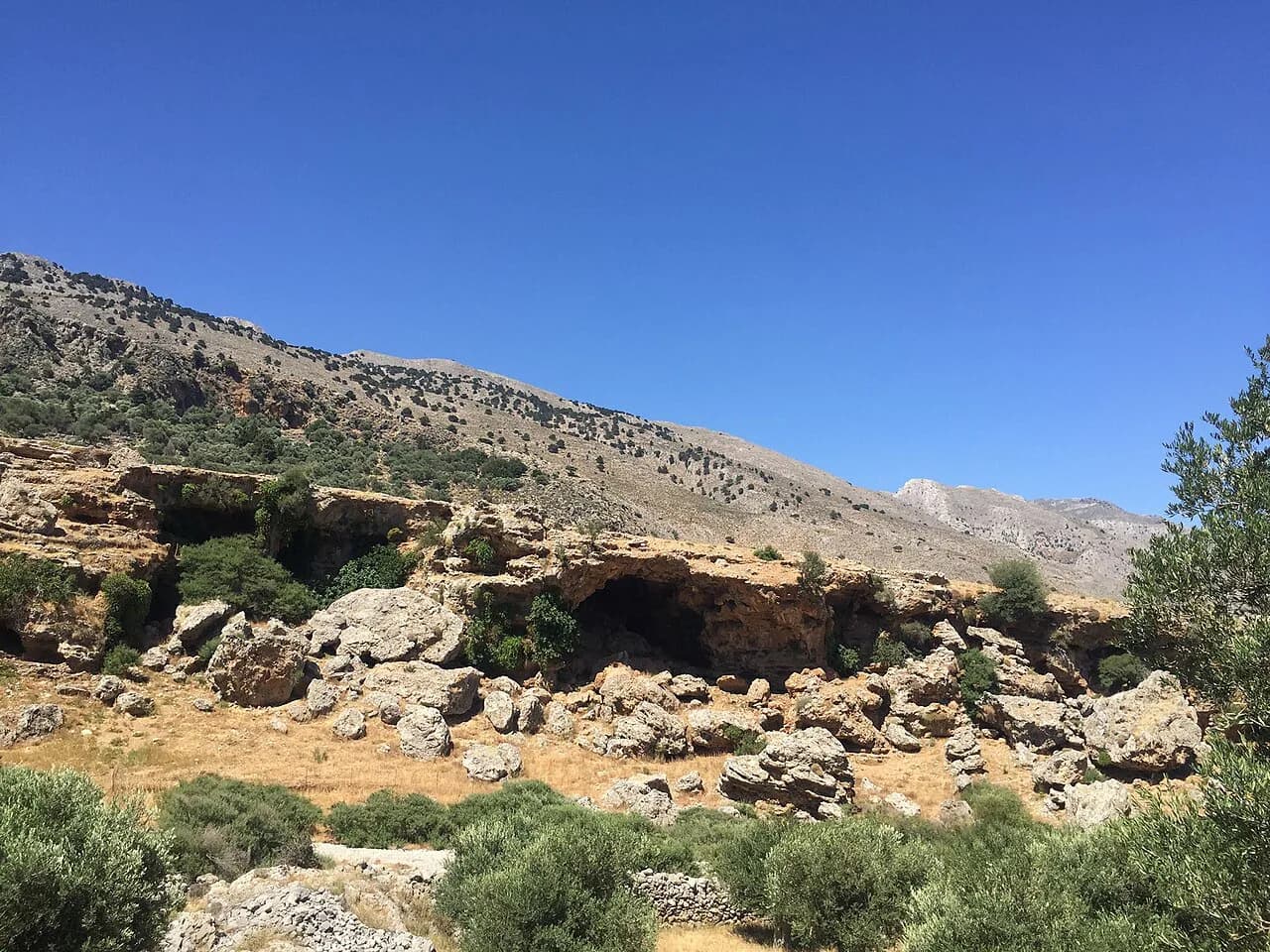
The gorge cuts south from the village of Imbros, which sits at roughly 700 m (2,300 ft) on the edge of the White Mountains, down to Komitades on the coastal slopes above the Libyan Sea. Both ends lie in the Chania regional unit of western Crete, within day-trip range of Chania and the south-coast villages around Sfakia. Treat the walk as a linear route that begins high and ends low, and build your day around the journey back up rather than a loop.
It slots neatly into a western Crete itinerary built around the gorges and coast paths of the White Mountains. Hikers who want the wider menu of ravine walks, coastal routes and mountain stages in the region can start with this hiking in crete overview and then pick the descent that matches their fitness and timetable.
Trailhead at Imbros village
The walk starts in Imbros village, where narrow streets and stone houses lead to the gorge entrance and a small ticket booth at the top of the trail. Many hikers park in or near the village, walk down through the gorge, and arrange a ride back up from the bottom. Arrive early in the morning: the upper village is small, parking is limited, and the descent is far more pleasant before the day heats up.
Access to the start is by road from the north or the south coast, and most visitors come by car or on an organised transfer. There is a small entry ticket collected at the top trailhead, with the money going toward keeping the path maintained and clear, so keep some loose change handy.
Distance, descent and walking time
The gorge runs about 8 km (5 miles) one way, almost all of it downhill, with a total descent of roughly 600 m (about 2,000 ft) from the village to Komitades. Most walkers take around 2.5 hours at a relaxed pace, and a steady hiker moving without long photo stops will finish sooner. Because the gradient runs with you the whole way, cardiovascular effort is modest; the demand is on your ankles and knees over uneven ground.
Allow extra time on hot days and for the narrow sections where you slow down behind other walkers. The walk is usually completed in 2 to 2.5 hours, which leaves the afternoon free for lunch and the coast.
Difficulty, footing and narrow passages
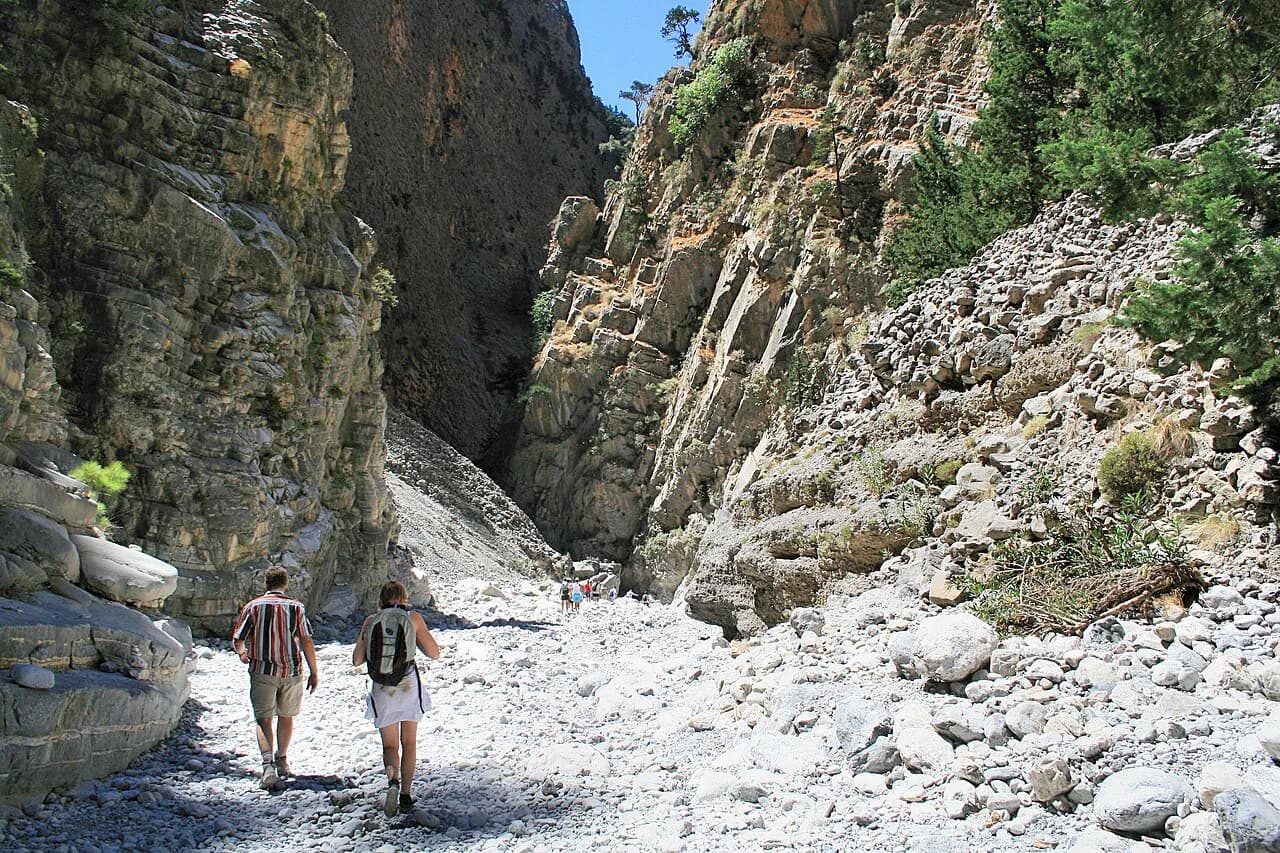
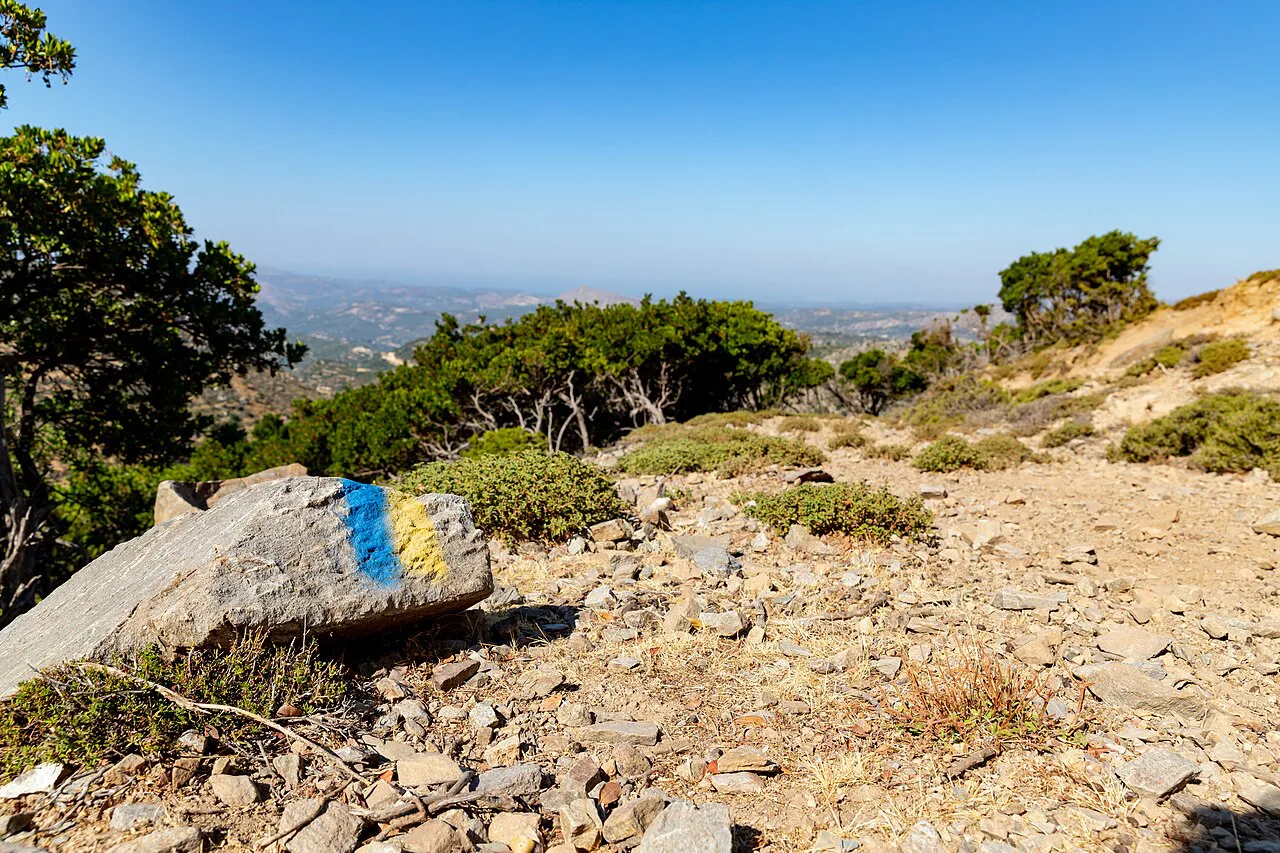
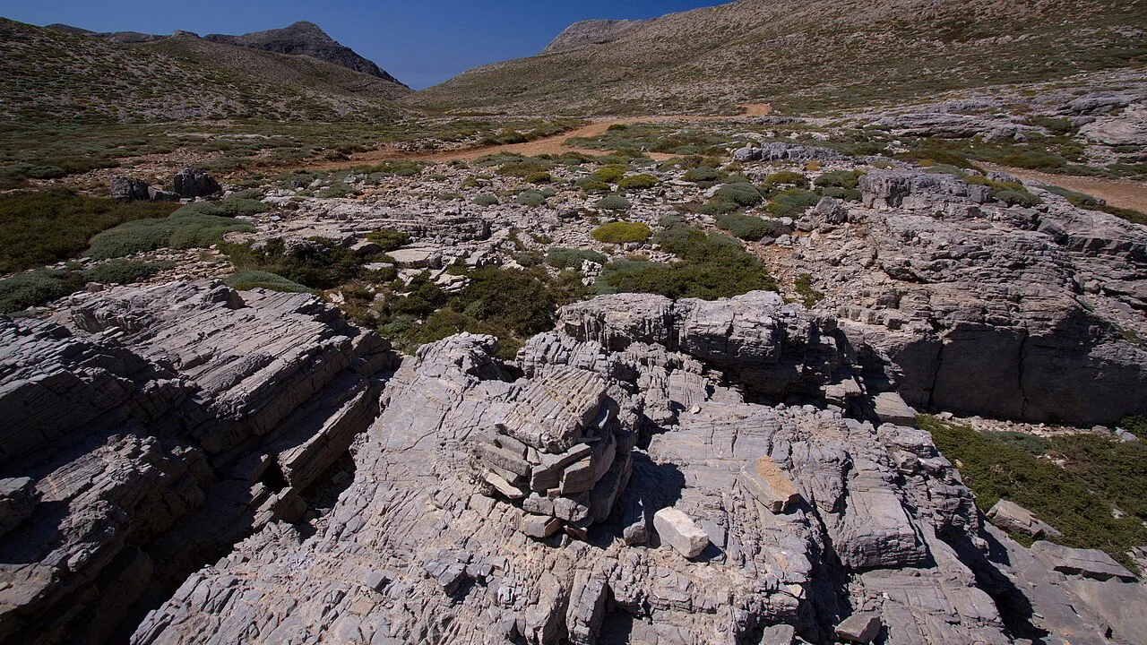
The route is classed as easy to moderate: a continuous downhill walk through a narrow canyon rather than a climb. The path follows a rocky, uneven riverbed with loose stones, so decent walking shoes or boots with ankle support matter much more than fitness. Trekking poles help on the loose sections and spare your knees on the long descent.
The narrowest part of the gorge squeezes to a few metres wide between soaring rock walls, and this is where the walk feels most enclosed and most spectacular. It is short and not exposed in the climbing sense, but you will want your hands free and your footing secure. Afternoon storms can make the ravine dangerous, so start in the morning and turn back if the weather closes in.
Route description
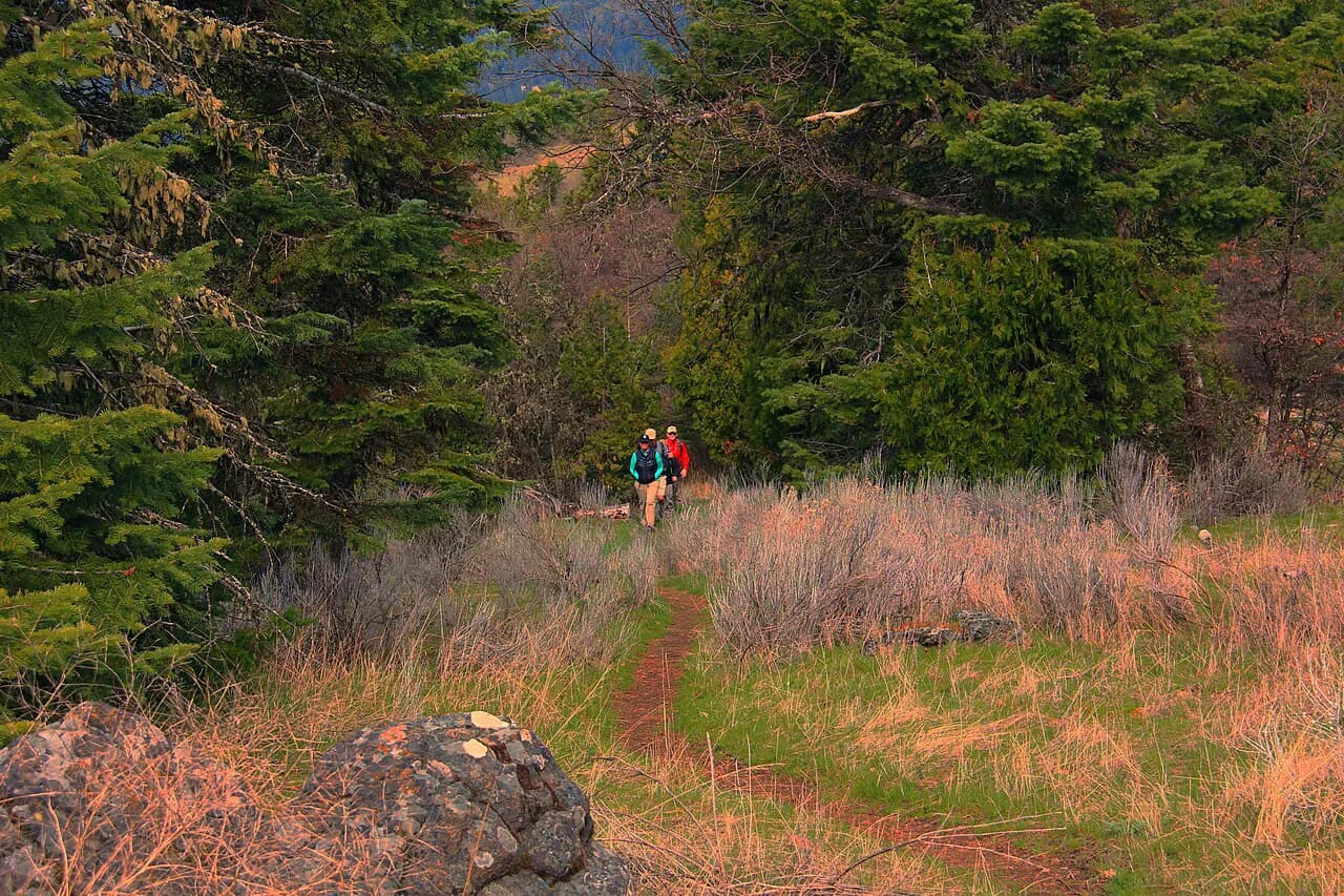
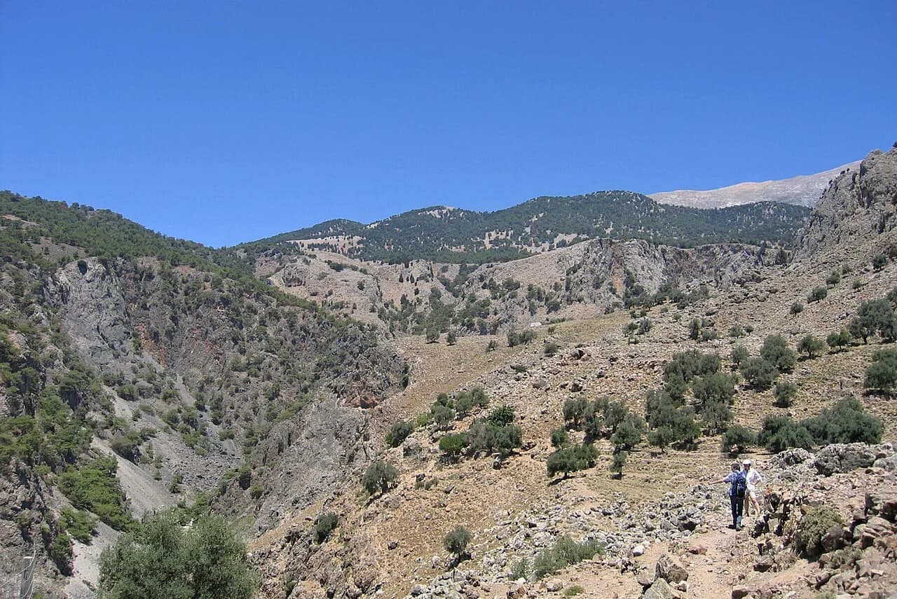
From the entrance above Imbros the path drops into a wide upper gorge, with cliffs rising on both sides and scattered pines and cypresses along the floor. The walking here is open and straightforward, a good place to find your rhythm on the stones. As you descend the walls close in and the route narrows.
The signature moment is the narrow pass known as the Iron Gates, where the walls pinch to about two metres apart and tower overhead. Rocks and natural archways frame the way through, and this is the section most walkers remember. Beyond the gates the gorge gradually opens, the views lift toward the Libyan Sea, and the path eases down to Komitades.
Spring fills the gorge with wildflowers and the scent of wild thyme, and the flora is one of the reasons to choose this walk over a plain coastal path. Mountain goats and Griffon vultures live in the gorge, though sightings are never guaranteed.
The gorge also has a wartime history: it served as an escape route for Allied soldiers heading for the south coast of Crete during World War II. Old stone shelters and pathways along the way are reminders of that passage.
When to go
The accessible window runs from late spring to early autumn, when the path is dry and the gorge is at its best. Spring brings flowers and comfortable temperatures; high summer is hot, so an early start is the sensible choice. Winter and the rainy season are the wrong time: the narrow ravine is prone to flash flooding and falling rock after heavy mountain downpours, and walking it then is hazardous.
Getting back to the start
The walk finishes at Komitades, and the practical problem of the day is returning to your car or your base at the top. Local taxi drivers and minibus operators wait at the bottom for the climb back up the mountain pass to Imbros, a drive of around 20 minutes. Agree the arrangement before you set off, or carry cash and sort the ride on arrival at the bottom.
If you are staying on the south coast, Komitades connects easily with Sfakia and the villages around Hora Sfakion, which makes a one-way day feasible without a car at the top. Hikers based in Chania should plan the road journey south in the morning and the return in the afternoon.
What to wear and carry
Wear sturdy walking shoes or boots with proper ankle support and leave sandals for the beach; the riverbed stones punish thin soles. Carry water, snacks, a hat and sunscreen, because shade inside the gorge is patchy and the descent keeps you moving for a couple of hours. A light layer helps in the early morning at village altitude.
Bring a little cash for the entrance booth and for the ride back up, plus a swimsuit if you plan to continue to the coast. A small pack that sits close to your back is easier than a daypack that swings on the narrow sections.
After the hike: Komitades and Sfakia
Komitades sits on the coastal mountain slopes beneath the gorge, high above the sea, and its tavernas are the natural place to finish with Cretan food and a slow lunch. Do not rush straight back up to the car; the village is part of the day.
The coastal village of Sfakia is close enough to add a swim in clear water on the Libyan Sea, turning a half-day walk into a full day out. That combination of ravine and sea is the strongest argument for choosing Imbros over a longer inland gorge. If you would rather build the whole holiday around guided gorge and coast walks, crete walking holidays run transfers and itineraries that solve the return journey for you.
Imbros Gorge vs Samaria Gorge
Samaria is the longer, more famous option in the White Mountains, and it asks more of your day, your fitness and your logistics. Imbros is shorter, gentler and noticeably quieter, which makes it the better pick for average fitness, for a half-day, or for hikers travelling with people who would not enjoy a full-day descent. If you want the scale and reputation of the big gorge, read the samaria gorge hike guide before committing, and check the Samaria National Park rules for the season you plan.
Other western Crete ravines offer a middle ground: the Aradena gorge is entered from a dramatic high bridge, and Agia Irini is a shorter wooded descent. Comparing one of those with Imbros is mostly about how long you want to walk and how you will get back to the start. If you are weighing this kind of short ravine descent against other island itineraries, hiking in Corfu offers similarly compact trails with their own logistics to plan.
Plan Your Imbros Gorge Day
Treat the Imbros Gorge hike as a one-way morning descent: start early at Imbros village, walk the 8 km (5 miles) down through the narrow gates to Komitades, and have your ride back up arranged before you set off. Sturdy shoes, water and a little cash cover the essentials.
Finish with lunch in Komitades and a swim at Sfakia if the afternoon allows, and choose Imbros over Samaria when you want a shorter, quieter gorge that still delivers the drama.
Frequently Asked Questions
How long does it take to hike the Imbros Gorge?
Most walkers take about 2 to 2.5 hours for the 8 km (5 miles) descent from Imbros village to Komitades, at a relaxed pace with photo stops. Steady hikers who keep moving finish sooner, while hot days and busy narrow sections slow things down.
Is the Imbros Gorge a difficult hike?
It is rated easy to moderate. The route runs almost entirely downhill, so cardiovascular effort is low, but the footing on the rocky riverbed is loose and uneven. Wear shoes or boots with ankle support and take your time on the steeper stone sections.
How do I get back to the start of the Imbros Gorge hike?
From the bottom at Komitades, local taxis and minibuses run back up the mountain pass to Imbros, a drive of roughly 20 minutes. Agree your return with a driver before you start, or arrange a pickup on arrival at the bottom, and keep cash for the fare.
Is Imbros Gorge worth visiting?
Yes, if you want a dramatic limestone ravine without the length and crowds of Samaria. The narrow Iron Gates, the spring flowers and the easy one-way descent make it a strong half-day, and the finish near the Libyan Sea lets you add lunch and a swim.
Is Imbros Gorge closed?
Walking is best from late spring to early autumn, and the gorge is often closed during winter and the rainy season because of flash-flood and rockfall risk. Before you travel, ask the Chania regional tourism office or a local operator in Sfakia about current access.
Can I walk the Imbros Gorge in winter?
No. Winter and heavy rain bring flash-flood and falling-rock danger in the narrow ravine, and the route is often shut. Plan your walk for the dry months and start early in the day to avoid heat and afternoon storms.
What should I wear for the Imbros Gorge hike?
Sturdy walking shoes or boots with ankle support, plus water, snacks, a hat and sunscreen. Carry a little cash for the entrance booth and the ride back up, and pack a swimsuit if you plan to continue to Sfakia.
Is Imbros Gorge easier than Samaria Gorge?
Yes. Imbros is shorter and quieter, with a gentler descent of about 8 km, while Samaria is a longer full-day route that demands more fitness and logistics. Imbros suits average fitness and half-day plans.
Sources
Trail notes for your next trip
Optional updates when we add or revise hiking guides.
You might also like
Continue reading
More guides you'll find useful