Aradena Gorge Guide: Crete Hike Route and Trailhead
The Aradena Gorge hike in southwest Crete drops from the Aradena bridge to the Libyan Sea. Here are the route, distance, descent and trailhead access.
On this page
Aradena Gorge offers one of the most dramatic descents in southwest Crete: a long limestone canyon that drops from a high bridge in the White Mountains to a pebble cove on the Libyan Sea. It suits fit hikers who are comfortable on loose rock, fixed ladders and sustained downhill walking, and who are happy to arrange their own way back along the coast. This guide sets out the route, the figures, the access and the return leg so you can judge whether it fits your trip.
What the Aradena Gorge hike offers and who it suits
The gorge runs through the Sfakia region of the Chania regional unit, cutting between the village of Aradena and the coast at Marmara. The appeal is the scale of the canyon walls, the quiet compared with the island's famous gorge in the west, and the finish at the sea rather than at a road. It is a committing day: once you are in the narrows there is no easy shortcut out.
This is a hike for people with hill fitness and some experience on rough ground. The descent is long and relentless on the knees, and the fixed-aid sections demand a head for exposure and hands free for the ladders. Hikers who want a straightforward, well-marked walk with a bus at the end are better served by one of the shorter gorge routes in the center of the island, such as the Imbros Gorge.
Where Aradena Gorge lies in the White Mountains above Sfakia
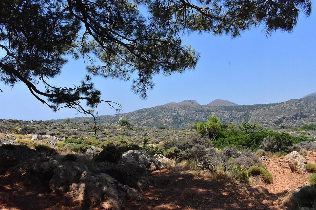
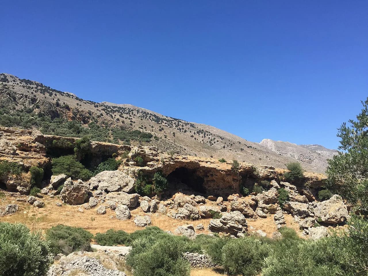
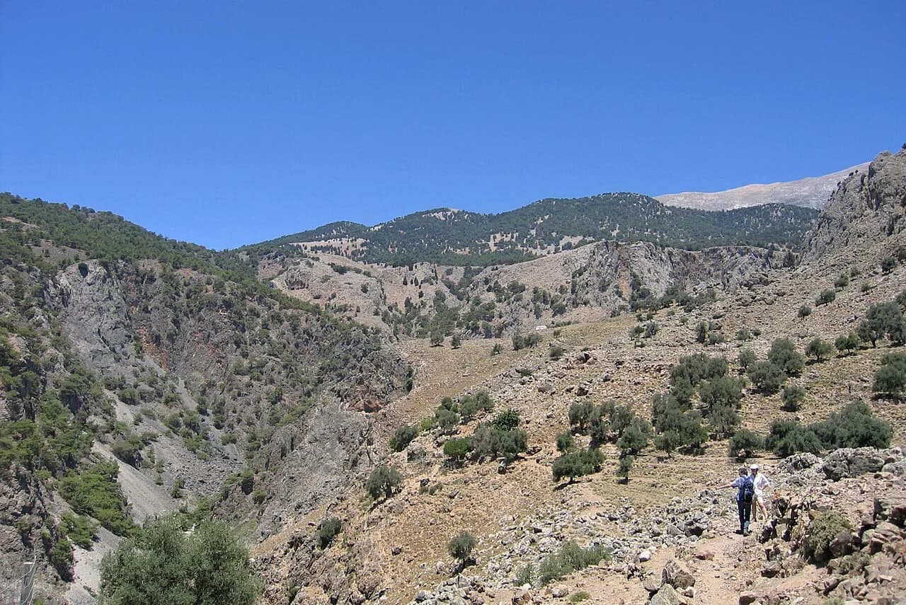
Aradena sits in the Lefka Ori, the White Mountains, inland from the south coast of Chania. The gorge begins below the abandoned village of Aradena and its road bridge, high above the canyon floor, and runs south toward the sea at Marmara. The nearest practical bases are Anopoli, on the plateau above the gorge, and the coastal villages of Loutro and Sfakia.
The surrounding massif is the same range that holds Samaria and the Omalos plateau, so the weather patterns, heat and rock are familiar to anyone who has walked elsewhere in the White Mountains. Spring brings wildflowers and running water; high summer bakes the canyon floor. Anopoli, a short drive from the bridge, is the most convenient place to sleep before an early start.
Getting to the trailhead: the Aradena bridge, road access and Anopoli
Most hikers start at the Aradena bridge, reached by road from Anopoli, which is connected by road to Chania and to the south coast. A vehicle can be left near the bridge, but you then need a plan for retrieving it, because the walk ends at the coast. The simplest arrangement is a drop-off at the bridge in the morning and a boat or a coastal walk at the finish.
Public transport in this part of Sfakia is thin, so treat the drive or a booked transfer as the realistic option and confirm any boat times directly with the boat company before you commit. There is no formal gorge entrance, no ticket booth and no gate at the bridge.
Distance, ascent, descent and walking time
The full point-to-point route from the Aradena bridge down the gorge to the coast runs about 15.6 km (9.7 miles) and takes roughly 7 to 7.5 hours of walking. The direction is downhill overall, but the rough riverbed, boulder-hopping and fixed sections slow you down considerably. Plan a full day and start early.
There is also a shorter loop that links the gorge with Marmara and Livaniana, listed at roughly 13 km (8.2 miles), which suits hikers who want a circuit without committing to the full coastal exit. The figures are not interchangeable: the loop and the one-way descent are different routes, so pick the variant you actually intend to walk and use its numbers.
Route description: the descent from the bridge
From the bridge, the path drops steeply down the canyon side to the gorge floor, with the abandoned houses of Aradena above you. The upper section is loose and dusty, and the gradient is steady rather than technical. Take your time here: the rock underfoot is the main hazard early on.
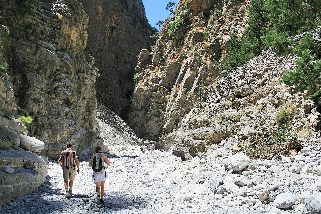
Lower down, the canyon narrows and the walking becomes a mix of riverbed, boulders and short scrambles. The walls close in and the shade becomes welcome in the heat of the day. Keep an eye on the route markers and cairns where the bed splits.
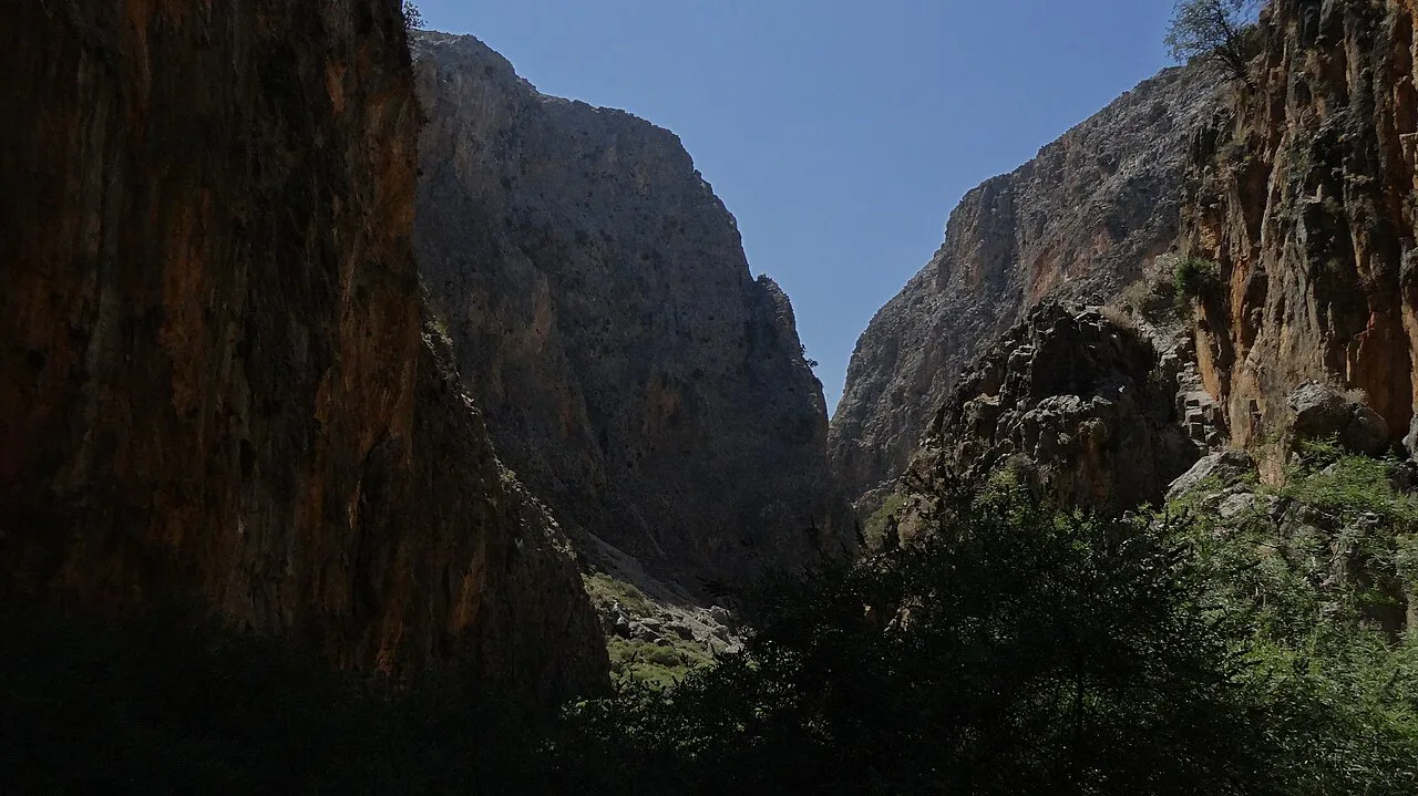
The narrows, the ladders and the rock steps
The narrows and fixed-aid sections are the crux of the route and the deciding factor for who should walk it. Expect ladders, chains and rock steps in the confined middle section, where a slip has consequences and a pack makes the moves harder. Hikers who are uneasy on exposed ground, or who have never used fixed aids, should go with a guide or choose a different route.
Wet rock after rain makes the ladders and slabs slippery, so carry grippy footwear and keep your hands free. In a group, space out at the fixed sections and move one at a time.
Marmara and the exit to the Libyan Sea
The gorge opens out at Marmara, a small cove on the Libyan Sea with a pebble beach and clear water. This is the natural place to swim, rest and eat before the return leg. It is also where the route stops being a gorge walk and becomes a coastal one.
From Marmara, the coast path continues west toward Loutro, or you can arrange a boat pick-up from the cove. Either way, sort the return before you start, because there is no road out of Marmara.
Getting back: the coastal path to Loutro or a boat pick-up
The coastal walk from Marmara to Loutro follows the shoreline and adds a couple of hours to the day, with some sections on rock and a few ups and downs. Loutro is car-free and reached by boat or on foot, which makes it a natural place to stay the night after the descent. Boats also run between the coastal villages, but timetables vary by season, so check current sailings before you travel.
If you left a car at the bridge, you will need to get back up to Anopoli and the bridge by road or taxi from Sfakia or Loutro. Build this into the day; it is often the part that catches people out.
When to go: season, heat and water in the gorge
Spring, from April to early June, is the best window: cooler temperatures, wildflowers on the slopes and more water in the gorge. Autumn, from September into October, is the other good choice, with the summer heat easing. High summer is hot and exposed, and the canyon floor can be oven-like by midday.
Multi-day operators in the White Mountains run their trips between May and July and again from September to October, which reflects when conditions are most reliable. Carry more water than you think you need; the gorge has no reliable supply, and the coastal exit is exposed.
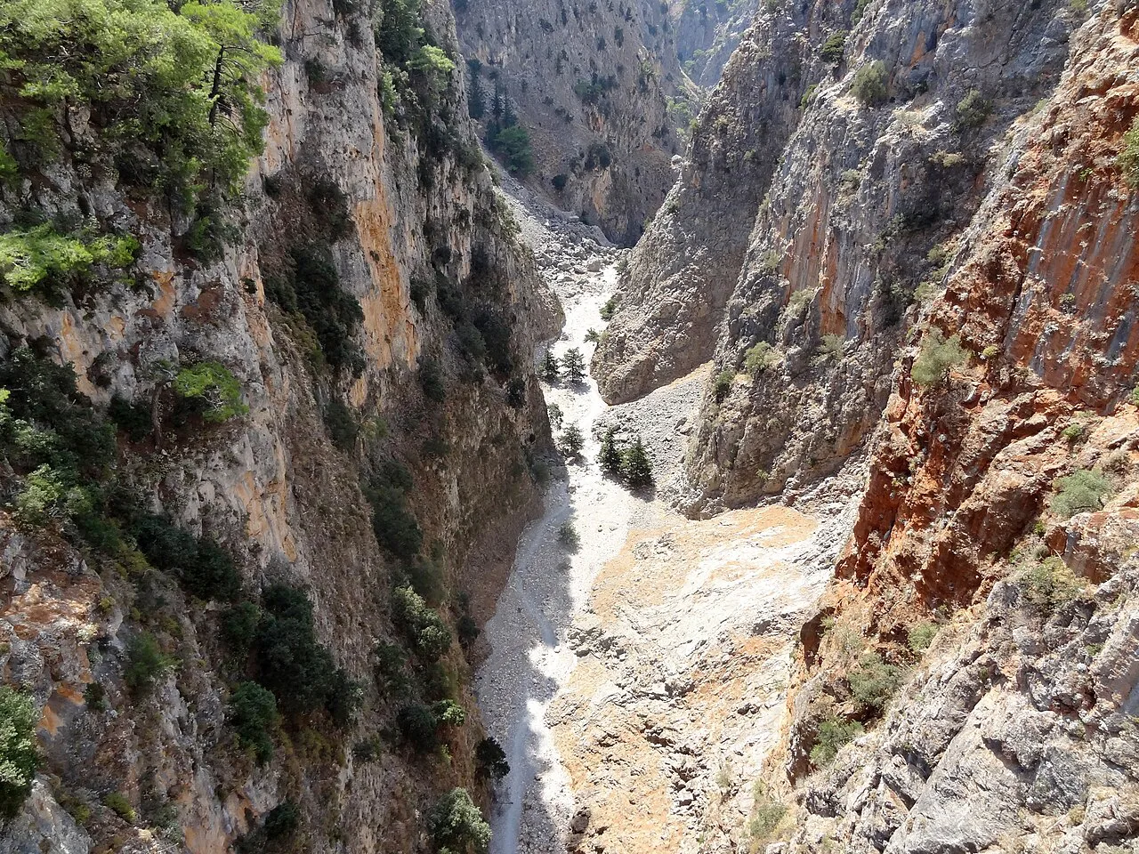
Hazards: loose rock, exposure and flash-flood risk
Loose rock, sustained descent and the fixed ladders are the main objective hazards, and the coastal section at the end is fully exposed to the sun. In rain, the riverbed and slabs become slick and the gorge is a poor place to be; stay out after heavy rain and check the forecast before you set off. Afternoon thunderstorms are common in the mountains in the warmer months, so start early and aim to be out of the narrows by mid-afternoon.
Mobile signal is patchy in the gorge, so download an offline map and tell someone your plan. Carry a headlamp in case the day runs long.
Aradena Gorge compared with Samaria Gorge
Samaria is the island's famous long gorge, walked by crowds in season, with a park entrance, seasonal opening dates and a ferry at the coastal end. Aradena is quieter, rougher and less formal, with no ticket booth and no fixed season. The trade-off is that Aradena demands more self-reliance: route-finding, fixed aids and a return leg you arrange yourself. If you are weighing this kind of rugged canyon day against trails elsewhere in the Mediterranean, hiking in Cyprus offers another comparison point.
If you want the classic long gorge experience with clear logistics, book the seasonal ferry at Samaria and walk the Samaria Gorge hike. If you want a wilder canyon and the satisfaction of reaching the sea under your own steam, Aradena is the better fit.
Where to base yourself for the hike
Anopoli is the most practical base for the gorge: it puts you close to the bridge and gives you the option of an early start before the heat. For the coastal finish, Sfakia and Loutro offer rooms and tavernas, and Loutro is a short boat or a coastal walk from Marmara.
If you want a guide or an organized itinerary, Crete walking holidays that include the White Mountains and the south coast can handle the logistics, transfers and accommodation for you. That is worth considering if you are hiking solo or are not confident about arranging the return from Marmara.
Plan Your Visit
Aradena Gorge is a full-day descent from the bridge to the Libyan Sea, so treat the return leg as part of the plan and sort out your boat or coastal walk before you start. Start early, carry plenty of water, respect the fixed sections and save the swim at Marmara for the end. If you want the same range with a gentler format, the Agia Irini Gorge makes a good alternative.
Frequently Asked Questions
How long is the Aradena Gorge hike?
The full descent from the Aradena bridge to the coast at Marmara is roughly 15.6 km (9.7 miles) and takes about 7 to 7.5 hours of walking. A shorter loop via Marmara and Livaniana runs around 13 km (8.2 miles). The two are different routes, so plan around the one you intend to walk.
How do you get to the Aradena Gorge trailhead?
Most hikers drive to the Aradena bridge above the gorge, reached by road from Anopoli. A vehicle can be left near the bridge, but the walk ends at the coast, so arrange a boat or coastal walk at the finish. Check current boat or taxi times before you go.
Is Aradena Gorge harder than Samaria Gorge?
Aradena is rougher and less formal, with ladders, chains and rock steps in the narrows and no ticket booth or fixed opening season. Samaria is longer and busier, but has clearer logistics and a ferry at the coastal end. Fit hikers comfortable on exposed ground will find Aradena the more committing day.
Where does the Aradena Gorge hike end?
The gorge ends at Marmara, a small cove on the Libyan Sea with a pebble beach. From there you can walk the coast path west toward Loutro or arrange a boat pick-up. There is no road out of Marmara, so plan the return before you start.
When is the best time to hike Aradena Gorge?
Spring, from April to early June, and autumn, from September into October, offer the most comfortable temperatures and the best conditions underfoot. High summer is hot and exposed in the canyon. Avoid the gorge after heavy rain, and start early in the warmer months.
Can you hike Aradena Gorge without a guide?
Yes, if you are comfortable on loose rock, fixed ladders and exposed ground, and can arrange your own transport to the start and from the finish. The route-finding is not difficult, but the fixed sections demand care. A guide is worth considering if you are unsure about the ladders or are hiking alone.
Where should I base myself for the Aradena Gorge hike?
Anopoli is the closest base to the bridge and suits an early start. Sfakia and Loutro on the south coast are handy for the finish and the return leg, and Loutro is reached by boat or on foot only. Sleeping near the start keeps the day manageable.
Sources
Trail notes for your next trip
Optional updates when we add or revise hiking guides.
You might also like
Continue reading
More guides you'll find useful