Hiking in Corfu: Best Trails, the Corfu Trail and When to Go
Plan hiking in Corfu with coastal loops to Porto Timoni and Cape Drastis, the Pantokrator plateau and the 150 km Corfu Trail in ten stages.
On this page
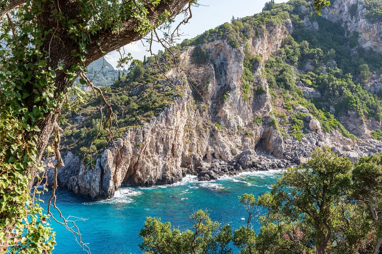
Corfu rewards walkers who trade the beach chair for a few hours on foot. Limestone ridges rise in the northeast, cliff-backed bays cut into the west coast, and old donkey tracks and olive groves run between villages inland.
Short loops of two to four hours suit most visitors, while the island-long Corfu Trail asks for ten days and a tolerance for sparse waymarking. The harder days are concentrated: the scramble above Porto Timoni and the 1,000 m (3,280 ft) climb on the Agios Georgios north to Sokraki stage are where fitness and head for heights decide the trip.
Why Corfu suits walkers
The island is greener and quieter underfoot than its resort reputation suggests. Away from the main beaches you get olive groves, rocky coastline and mountain villages, and even in high season the paths feel uncrowded.
Pick your hike by time and effort rather than by photo. Family groups and casual walkers can fill a morning with the Paleo Perithia circuit or the Angelokastro approach, while fitter hikers should budget half a day for the coastal loops and a full day for the Pantokrator plateau. If you are weighing a Greek island walking holiday, it is worth comparing this with the gorges and mountain trails covered in our guide to hiking in Crete before you commit.
Anyone with a week or more can chain the compact routes into a touring base, or walk the whole island south to north on the long-distance route. Guided and self-guided formats exist, but the island is easy enough to plan independently. If you want to extend the same approach to the mainland, our guide to hiking in Greece: Best Trails, Islands and Mountain Routes covers the wider options.
How the island is laid out
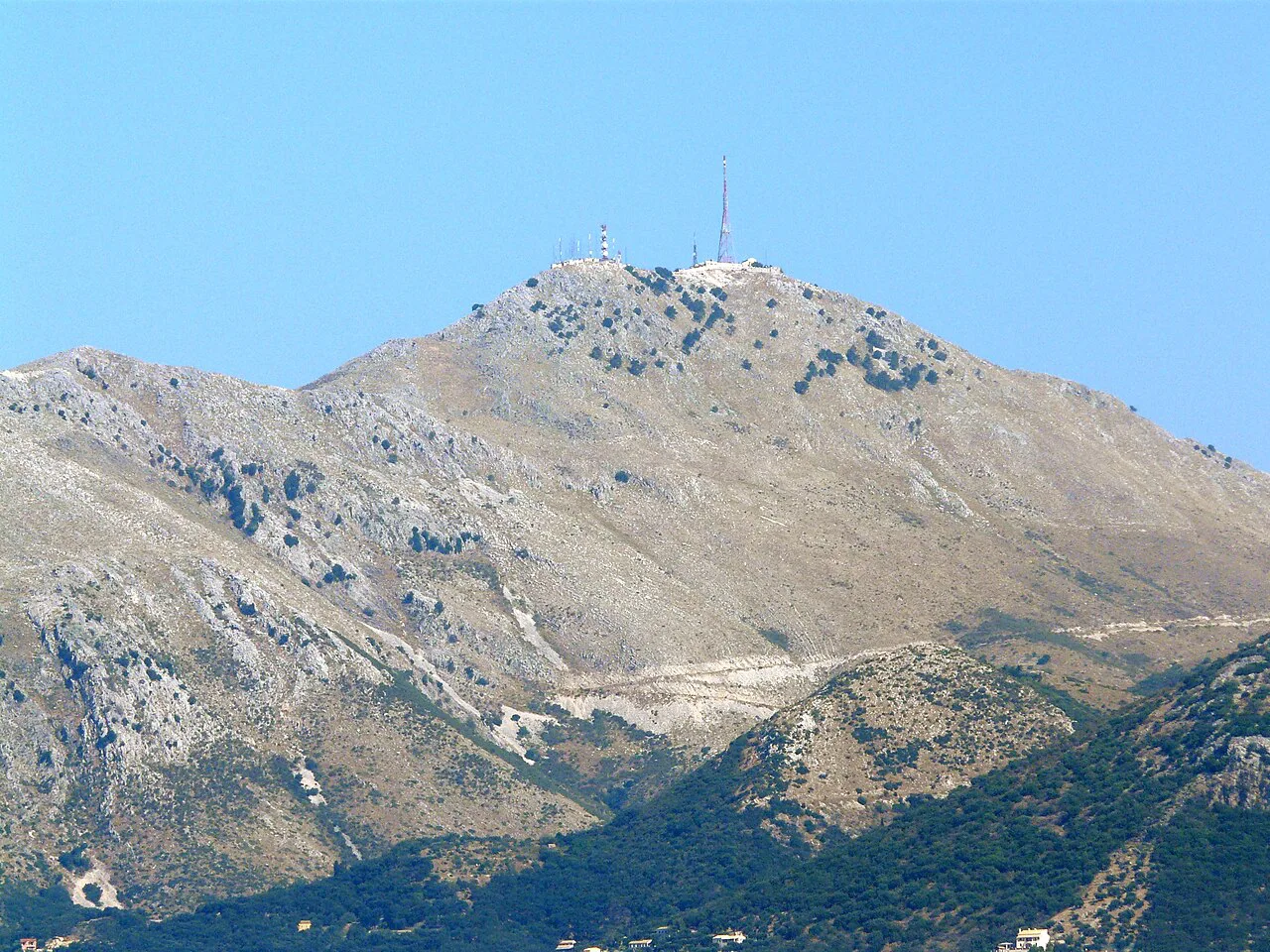
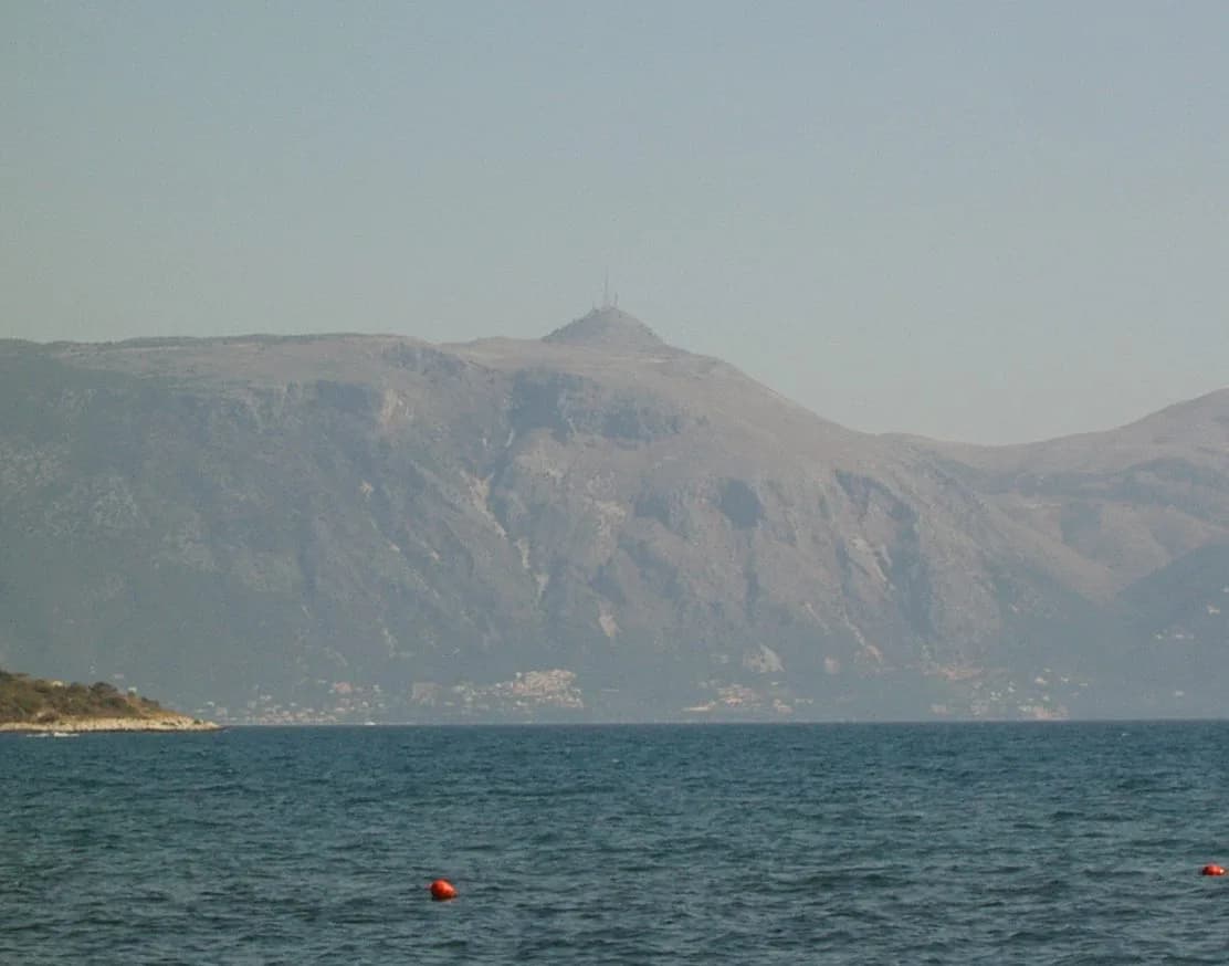
Three zones matter for planning. The northeast holds the Pantokrator limestone massif, the highest ground on Corfu at 911 m (2,989 ft), with a summit plateau and far views to the Albanian coast.
The west coast delivers the headline scenery: the Paleokastritsa bays, Cape Drastis, Porto Timoni's double bay and the sandy beach at Agios Georgios north. Inland, villages such as Pelekas, Sokraki and Old Perithia sit on ridges and slopes, giving short, view-heavy days.
The south is flatter and gentler, with long beaches, olive groves and Lake Korission, which draws waterfowl. Kavos at the southern tip is a resort town, but the coast path to Arkoudilas Beach leaves it behind quickly.
Easy walks
The circuit through the semi-abandoned village of Paleo Perithia is the shortest outing on the island at 1.37 km (0.85 miles) with 30 m (98 ft) of ascent, taking about half an hour. Stone lanes, ruined houses and mountain views make it a good introduction for families.
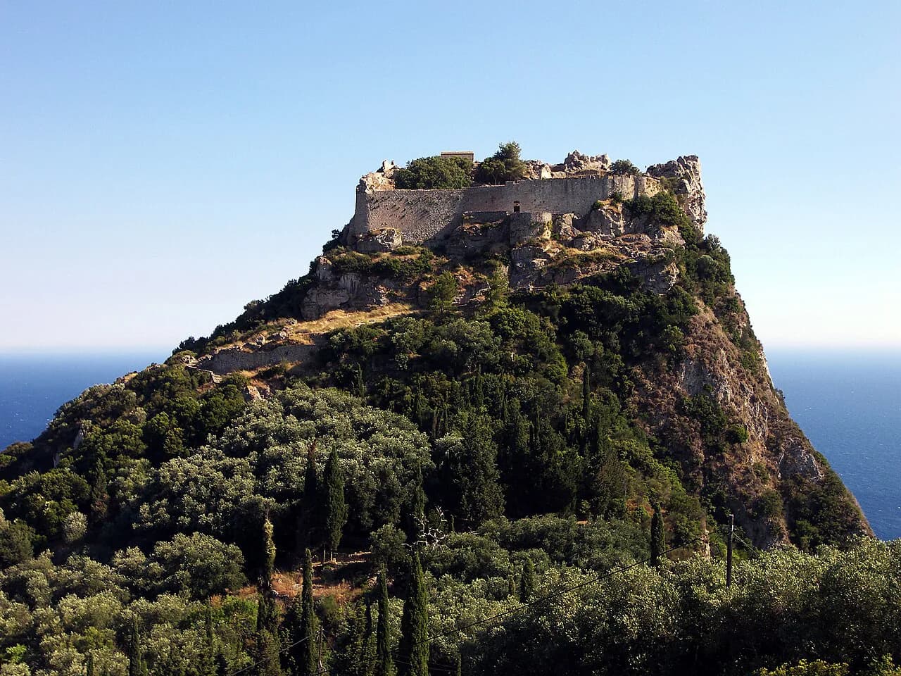
The approach to the Angelokastro fortress ruins covers just 541 m (0.34 miles) with 10 m (33 ft) of ascent, roughly 13 minutes of walking. The fortress itself sits on a dramatic rock perch above the coast south of Krini, and the Corfu Trail's seventh stage detours here at the cost of about 1 hr 30 min extra.
For a low-climb coastal day, the Cape Ekaterini route runs 4.28 km (2.66 miles) with only 20 m (66 ft) of ascent in about 1 hr 33 min, along beaches and low cliffs. Sure-footedness matters on the rocky stretches even though the elevation gain is modest.
Coastal loops with real scrambling: Porto Timoni and Cape Drastis
Porto Timoni's double bay is the island's most famous short outing and its most demanding for its length. The loop measures 3.70 km (2.3 miles) with 160 m (525 ft) of ascent and takes about 2 hr 21 min, usually starting from the village of Afionas.
The route is rated hard for a reason: the descent to the twin bays is steep and loose, and the climb back out in strong sun is the crux of the day. Sturdy shoes and an early start are the sensible response, and swimming at the bays is the reward between the two climbs.
Cape Drastis, at the island's northwest corner, is a gentler cliff walk. The loop from near Peroulades runs 6.43 km (4 miles) with 150 m (492 ft) of ascent and about 130 m of descent, taking roughly 2 hr 33 min past olive groves and white cliffs.
Mid-length walks: Symeon Chapel, Cape Ekaterini and Arkoudilas
The climb to the Symeon Chapel viewpoint packs 230 m (755 ft) of ascent into 4.89 km (3 miles) and about 2 hr 16 min, all of it repaid by a wide coastal panorama. It sits comfortably in a half day with time left for a late lunch.
In the south, the Kavos to Arkoudilas Beach loop covers 6.2 miles (10 km) with 823 ft (251 m) of ascent in around three hours. It passes a 17th-century monastery, a usually empty nudist beach and Mischopoulos Lake, with a steep climb to the Arkoudilas viewpoint near the end.
Lake Korission and the dune-backed beaches on the Corfu Trail's third stage make another relaxed half day, though the walking is mostly on sand and quiet inland roads.
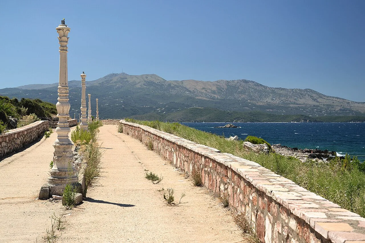
Mount Pantokrator
Two approaches suit different ambitions. The high plateau route covers 8.63 km (5.36 miles) with only 200 m (656 ft) of ascent in about 3 hr 28 min, staying high on accessible paths. The climb from Strinilas is longer in feel at 7.2 miles (11.6 km) with 1,280 ft (390 m) of ascent and 3 hr 30 min, following orange signs to the summit and the 14th-century monastery.
Weather decides the summit day. Cicerone warns that low cloud can make orientation tricky on the Pantokrator massif, where landmarks and waymarks are few, so pick a settled day and carry a map and compass as backup.
The massif is also the Corfu Trail's crossing point on stage nine, a 600 m (1,969 ft) ascent from Spartillas that continues to Old Perithia. A dedicated half-day route over the plateau gives you the summit views without the full stage.
The Corfu Trail in ten stages
The Corfu Trail runs 150 km (93 miles) from Kavos in the far south to Agios Spiridonas in the far north, split into ten day stages of 11 to 22.5 km (6.8 to 14 miles). It suits novices and experienced walkers alike, but the waymarks are sparse enough that route description and map matter.
Early stages are short and coastal: Kavos to Potami at 14 km (8.7 miles) with 230 m of ascent, then Potami to Agios Georgios south at 15 km (9.3 miles) with 160 m. Both reward you with beaches and olive groves rather than big climbs.
The effort builds inland. Paramonas to Dafnata climbs 620 m (2,034 ft) over 14 km (8.7 miles), Dafnata to Pelekas is 17 km (10.6 miles) with 600 m up and 700 m down, and the long Pelekas to Liapades beach stage stretches to 22.5 km (14 miles) in about six hours.
The biggest day is Agios Georgios north to Sokraki: 18 km (11.2 miles) with 1,000 m (3,280 ft) of ascent. Treat it as the fitness decision point of the whole route, and leave early with extra water.
The finish descends from Old Perithia to Agios Spiridonas in 12 km (7.5 miles) with 550 m of descent, following an old access way down a wooded valley to the north coast.
Corfu Trail logistics and accommodation
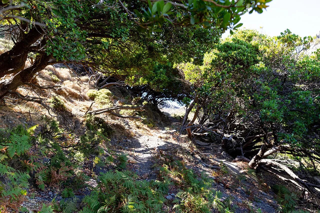
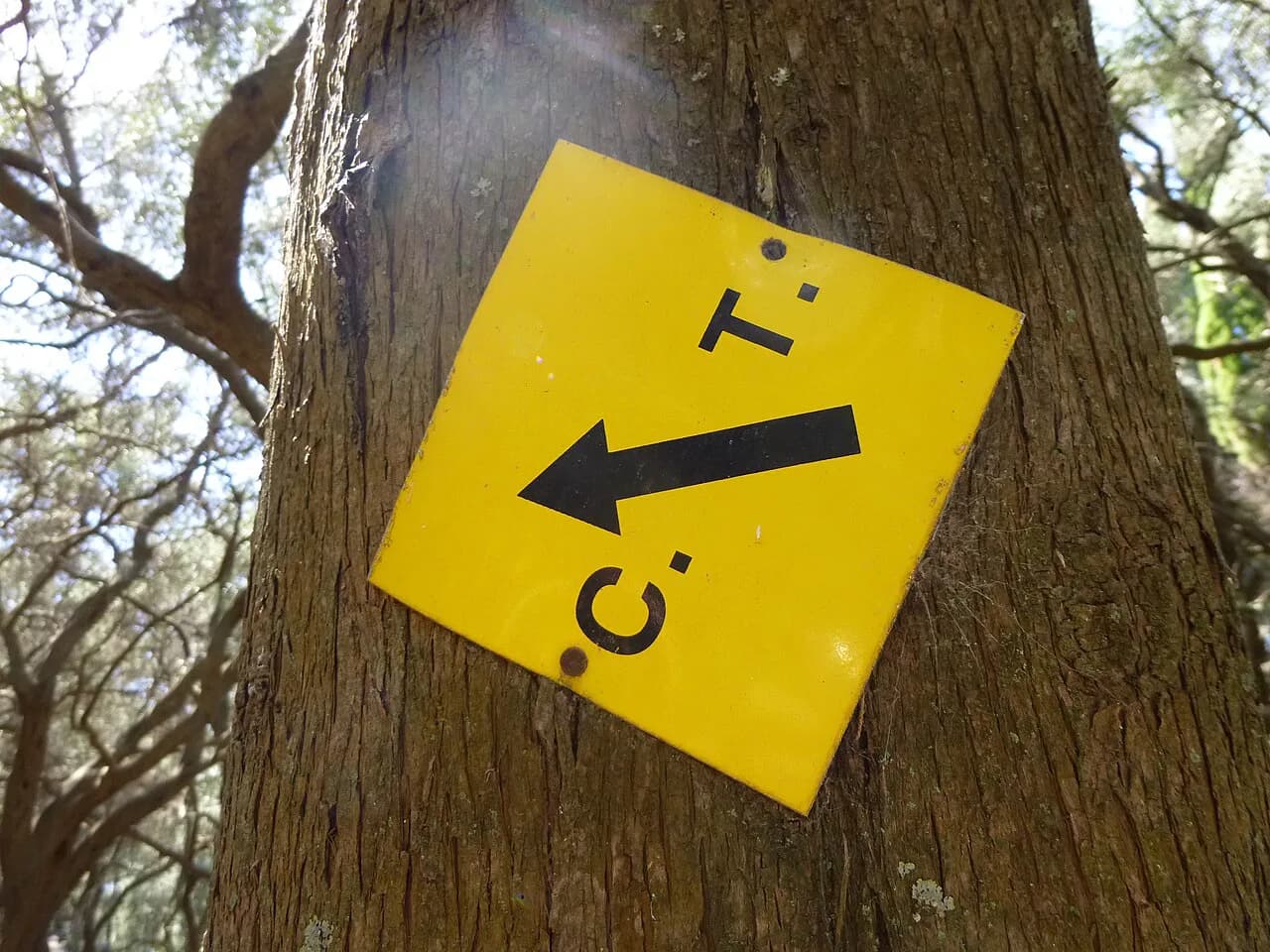
The trail is marked with yellow metal plaques bearing CT and a black arrow, plus occasional yellow paint that can be confused with lichen; cairns mark some junctions. Carry the route description and download offline maps, and allow time for wrong turns, fallen trees and mud after heavy rain.
Guesthouses, small hotels and camping give you a mix of overnight options, with several villages along the stages offering beds and cafés. Bag transfer is not part of the route's standard organization, so plan a pack you can carry for consecutive days.
Walking the whole route with logistics handled for you is an option through organized formats, which differ in how much navigation, baggage and booking support is included.
Getting to trailheads and choosing a base
Corfu has city and intercity buses, taxis, boats and car rental. Public buses are the cheapest way to reach trailheads but do not cover every village, so a rental car buys flexibility for the west-coast and mountain starts.
Pelekas, high above the west coast, suits the central stages and puts the Corfu Trail's fifth stage on your doorstep. Liapades works for Paleokastritsa and the coast, and Agios Georgios north is the natural base for the northwest cliffs and the island's tougher northern days.
In the south, the Lefkimmi villages and Kavos give quick access to the opening Corfu Trail stages, while Acharavi and the north coast suit walkers heading for Old Perithia and Pantokrator.
When to go
May to October is the practical window, when hotels, restaurants and other services are running. Walking is possible year-round, but much accommodation and many restaurants close from late October until late April or May.
Within that window, spring and autumn give cooler days for the bigger ascents, and May, June, September and October avoid the hottest midsummer midday heat. On hot summer days, start long hikes early in the morning.
Hazards on Corfu hikes
Sun is the main hazard, even when island wind makes the air feel cooler; carry plenty of water and use sunscreen. Trash bins are scarce, so pack out everything you bring in.
The steep, loose descent to Porto Timoni and the rocky stretches of the coastal paths demand sturdy shoes and care when wet. After heavy rain, expect mud and fallen trees that can slow progress on the Corfu Trail considerably.
Carry cash in euros for small tavernas and village shops, since card acceptance is patchy in remote places, and learn a few Greek phrases for the quieter villages.
Where to stay for the hikes you want
Match your base to the walks you plan. For the Porto Timoni and Cape Drastis loops, stay in the northwest around Afionas, Peroulades or Agios Georgios north; for Symeon Chapel and the Paleokastritsa viewpoints, choose Liapades or the coast below Lakones.
For the Pantokrator plateau and Old Perithia, the northeast villages near Strinilas and the north coast at Acharavi work well. Southern walkers heading for Arkoudilas should look around Kavos or the Lefkimmi villages.
Plan Your Visit
Corfu's hiking fits a range of trips: a half-day coastal loop for a beach holiday, a full day up Pantokrator for stronger walkers, or ten days end to end on the Corfu Trail. Choose your base by the hikes you want, build in an early start for the long ascents, and treat Porto Timoni as the scramble it is.
Explore more Corfu hiking guides
Frequently Asked Questions
How long does it take to hike the Corfu Trail?
The Corfu Trail covers 150 km (93 miles) from Kavos to Agios Spiridonas in ten day stages, with individual days ranging from 11 to 22.5 km (6.8 to 14 miles). Most walkers take around ten walking days, and adding rest days or short transfers makes the trip more comfortable.
Are the hiking trails in Corfu well marked?
The Corfu Trail uses yellow metal plaques marked with 'CT' and a black arrow, but waymarking is sparse and paint marks can be confused with lichen. Carry a route description and a map, or use offline navigation, especially on inland stages and the Pantokrator crossing.
What is the best month to go hiking in Corfu?
May to October is when accommodation and restaurants operate across the island. Within that window, May, June, September and October give cooler walking and fewer crowds, while midsummer calls for early starts to avoid the hottest hours.
Do you need a guide to hike in Corfu?
No. The island's elevations are modest and the compact loops around Paleo Perithia, Cape Drastis and Angelokastro are straightforward to follow independently. A guide adds value mainly for historical context and for navigation on the less-marked Corfu Trail stages.
How hard is the Porto Timoni hike?
The Porto Timoni loop is 3.70 km (2.3 miles) with 160 m (525 ft) of ascent and about 2 hr 21 min of walking, but it is rated hard because the descent to the twin bays is steep and loose. Sturdy shoes, an early start and care on the climb back out make it manageable.
Can you walk up Mount Pantokrator from Strinilas?
Yes. The Strinilas route is 7.2 miles (11.6 km) with 1,280 ft (390 m) of ascent and about 3 hr 30 min, following orange signs to the summit and the monastery. Low cloud can make orientation difficult on the massif, so choose a settled day and carry a map.
Sources
Trail notes for your next trip
Optional updates when we add or revise hiking guides.
You might also like
Continue reading
More guides you'll find useful