Paleokastritsa Hike: Donkey Path to Lakones Trail Guide
The Donkey Path from Paleokastritsa to Lakones is a steep cobbled climb through olive groves to Bella Vista. Here is the route, distance, time and bus access.
On this page
The Paleokastritsa hike up the Donkey Path is the shortest way to earn the island's most famous view. A stone kalderimi, the old paved mule track, links the turquoise bays of Paleokastritsa with the hilltop village of Lakones, running 2.5 km (1.5 miles) over uneven cobbles with a top altitude of about 500 m (1,640 ft). It suits hikers with a morning to spare and a head for steep stone stairs, not just a camera.
Donkey Path at a glance
The route runs one way between Paleokastritsa and Lakones, 2.5 km (1.5 miles) with a top altitude of about 500 m (1,640 ft). Climbing from the coast takes around 60 minutes at a steady pace, while the downhill walk from Lakones is usually given as 45 to 60 minutes before you add photo stops or a coffee in the village.
Trailhead and access
From Paleokastritsa the path begins near the resort's central bays, where the cobbled way emerges onto the main road network of the village, so you can start on foot from most hotels and beaches. Drivers park in Paleokastritsa and take the A9 bus up to Lakones to walk down, which means the descent at the end of the day is on foot rather than behind a wheel.
The A9 green bus links Corfu Town and Paleokastritsa with Lakones, and it is the cleanest way to walk the route one way without a second car. Ride up to the village, walk down to the sea, and swim before the return trip; the Discover Corfu bus guide lists the service.
Route description from the coast
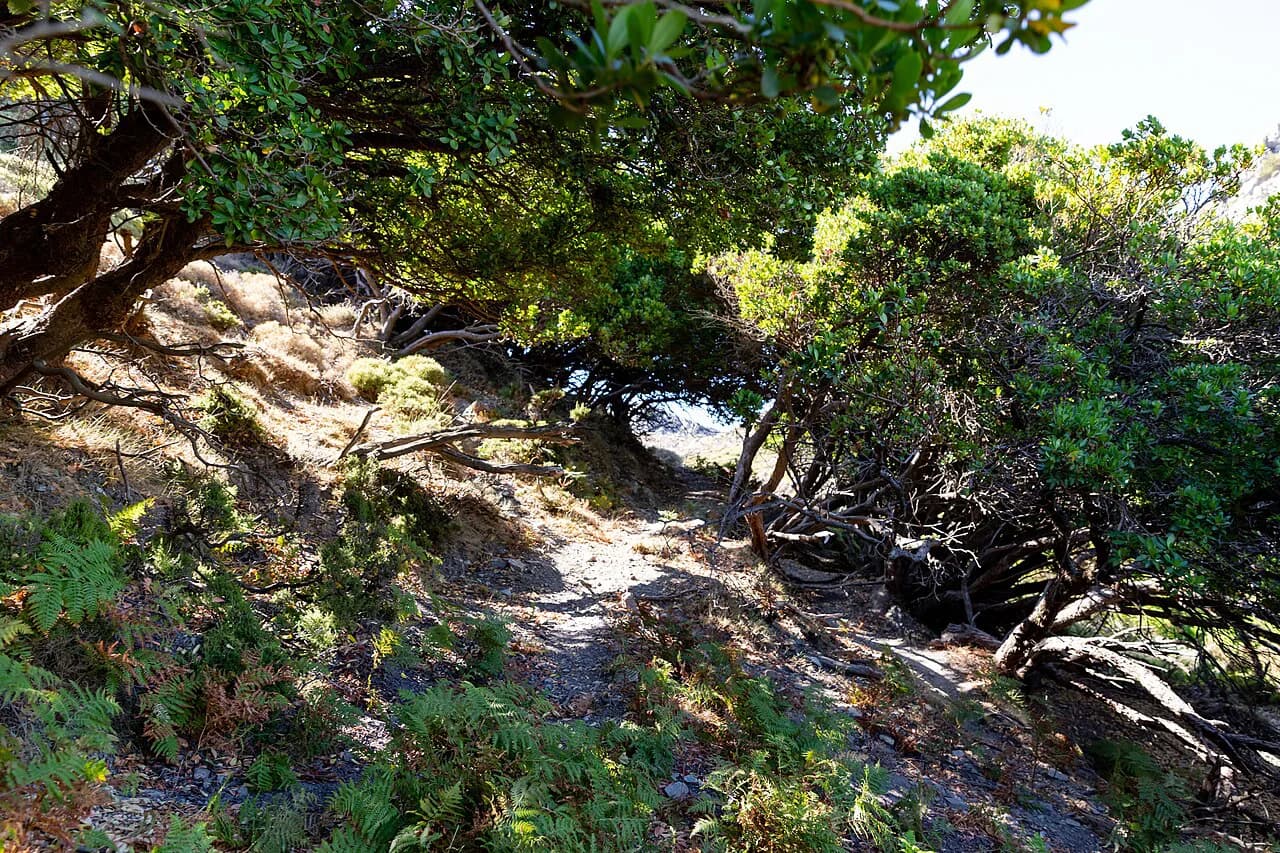
Leaving the bays, the route follows paved road and then steps before settling onto the old cobbled stairway above the water. The surface is the real difficulty here: the stones are steep, uneven and slippery when wet, so the climb is slow going in places even for fit walkers.
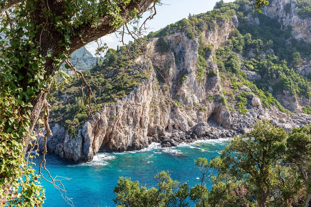
Higher up the path passes through ancient olive groves, with gaps in the foliage opening onto the six bays below. Expect roughly 30 minutes of uphill walking to reach the square in Lakones, where the stone stairway continues through the village past old houses.
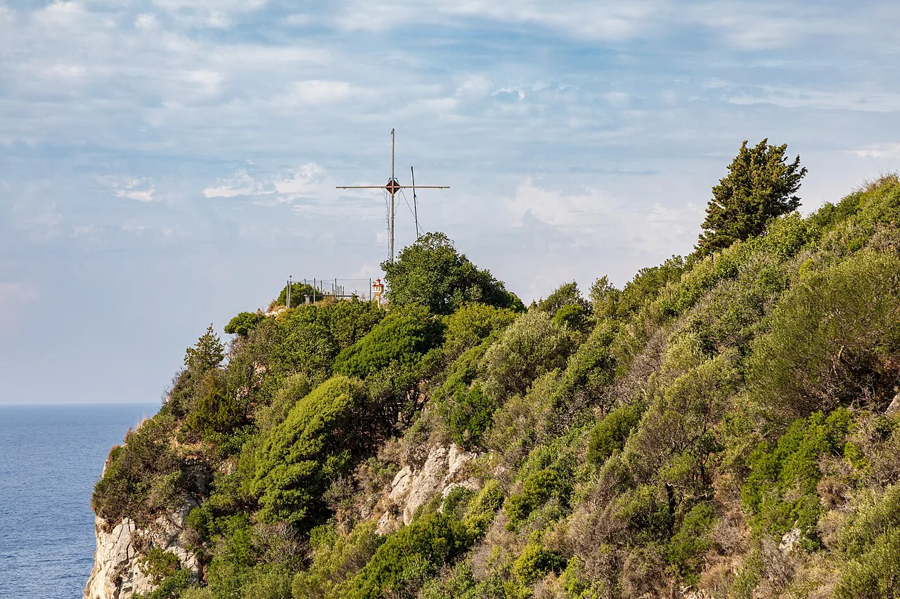
Above the village the path keeps climbing, and a short detour reaches the Ieros Naos Monastery before the final pull to the top. The summit holds a cement block left from military use and gives a panorama across the middle of the island toward the north.
Lakones village and the cafe stop
The square in Lakones is the natural halfway rest, with cafes for a coffee or a local ginger beer and a small museum above one of the shops showing the village's history in old photographs and tools. Ask at the cafe for the key if the museum door is shut. Walking the lanes afterwards gives a sense of a village that has kept its traditional layout.
Bella Vista and the upper path
The Bella Vista viewpoint sits at the top of Lakones, and the entrance to the Donkey Path is usually found near the viewpoint cafes. From here the panorama takes in the whole Paleokastritsa coastline, which is why the descent is worth saving for the clear part of the day. Footing stays steep and cobbled all the way down.
Walking it downhill from Lakones
Walking down is the easier direction for lungs but the harder one for knees, since the consistently steep cobbles load the legs on every step. Take the A9 bus up from Paleokastritsa or Corfu Town, start at Bella Vista, and finish with a swim at the bays. Hiking back up from the coast is a strenuous option best kept for fit walkers.
When to go
Spring and autumn give the most comfortable temperatures for the climb, and the olive groves provide shade through the middle section in summer. Start early in July and August, when the exposed upper cobbles heat up quickly and afternoon storms can build over the island. Winter rain makes the old stones genuinely slippery, so save the route for a dry spell.
Footwear and footing on the old cobbles
Sturdy shoes with grip matter more than trekking poles on this route, because the kalderimi is a staircase of worn, irregular stones rather than a graded trail. The descent is tough on knees and concentration, and the path is not a good choice for anyone unsteady on steps. Treat the cobbles, not the gradient, as the thing that sets your pace.
Longer routes above Paleokastritsa
Hikers who want more than the village climb can continue from Lakones over Korifi Araklis, the ridge summit above the coast, on a longer and harder outing with more ascent. Trail listings for the Paleokastritsa area rate that combination as the most demanding local route, so budget a full half day and carry water. The wider guide to hiking in Corfu sets out the other ridge and coastal walks on the island.
After the walk: monastery, boats and swimming
Back at sea level, the Paleokastritsa Monastery sits above the bays and can be reached on foot from the village, adding a short climb and a view back over the water. Boat trips leave from the main bay for the sea caves and coves that cannot be reached on foot, and the beaches are cool and clear after the descent.
If you want the logistics handled, guided and self-guided Corfu walking holidays base themselves around this kind of village-to-coast day and take care of transfers between the two ends. That suits hikers who would rather not plan the bus around their walking time.
Plan Your Visit
Decide the direction first: climbing from Paleokastritsa gives you the view as a reward, while descending from Lakones with the A9 bus saves your knees for the beach. Either way, start from the village square or the Bella Vista viewpoint and allow an hour of walking plus stops. Sturdy shoes and an early start in summer are the two things that make the day work.
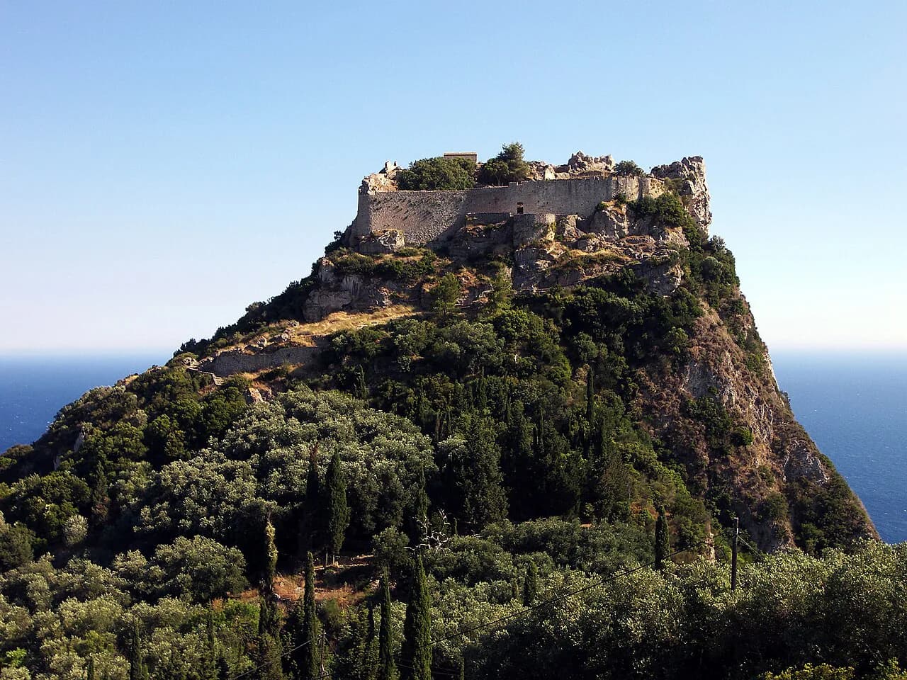
For a bigger day on the island, the Mount Pantokrator hike offers the north's high summit, and the Angelokastro hike combines a Byzantine clifftop castle with coastal views above Paleokastritsa. Both make good second outings once the Donkey Path is done. If you are weighing a trip further afield, our guide to hiking in Crete covers gorges and mountain trails of a similar scale.
Frequently Asked Questions
How long is the Paleokastritsa hike to Lakones?
The Donkey Path covers 2.5 km (1.5 miles) one way with a top altitude of about 500 m (1,640 ft). Climbing from Paleokastritsa takes around 60 minutes, and the descent from Lakones is usually given as 45 to 60 minutes before photo stops or a village coffee.
Can you walk from Paleokastritsa to Lakones and take the bus back?
Yes. The A9 green bus links Paleokastritsa and Corfu Town with Lakones, so you can ride up to the village and walk down to the sea, or climb first and ride back. Check the current timetable with the bus operator before you set out, since services vary by season.
Is the Donkey Path hard?
The gradient is steady rather than extreme, but the difficulty comes from old, uneven cobbles that are steep and slippery when wet. Going downhill is tough on knees, and hiking back up from the coast is strenuous. Sturdy shoes with grip are essential.
What is the best hike in Corfu?
The Donkey Path is the most accessible classic, pairing a historic kalderimi with the Bella Vista panorama above Paleokastritsa's bays. Hikers wanting more distance continue over Korifi Araklis, while the island's long-distance route links villages across the interior.
Is Paleokastritsa worth visiting for hikers?
Yes. The village puts you at the foot of the Donkey Path, close to the monastery and the boat trips to the sea caves, so a walking morning and a swimming afternoon fit into one day. Base here if you want coastal climbs without long drives.
Sources
Trail notes for your next trip
Optional updates when we add or revise hiking guides.
You might also like
Continue reading
More guides you'll find useful