Mount Pantokrator Hike, Corfu: Routes, Distance and Summit
Plan the Mount Pantokrator hike on Corfu: the Spartilas loop and the Old Perithia approach, with distance, ascent, walking time and summit terrain.
On this page
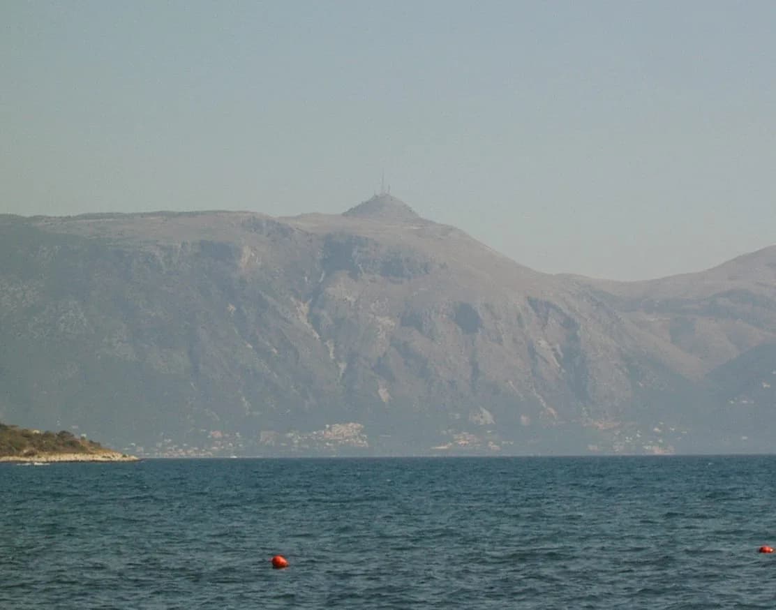
Mount Pantokrator is the highest point on Corfu, and its bare limestone top gives you the island's widest panorama: the north coast, Corfu Town far to the south, and the Albanian mountains across the water. Two routes reach the summit, and they suit very different days out. A marked loop from the village of Spartilas is the shorter, steeper option, while a long out-and-back from Lafki through Old Perithia is a full-day effort.
Pick your route by fitness and time rather than by view, because the summit itself is the same either way. If you want a half-day hill walk with a well-defined trail, the Spartilas circuit fits. If you want distance and a quieter approach through old villages, the Lafki route is the one. The detail below lets you match the climb to your legs, your season and whether you have a car.
Mount Pantokrator: Corfu's Highest Summit and Who Each Route Suits
The mountain rises above the north-east corner of Corfu, with the Spartilas loop topping out at 880 m (2,887 ft) and its lowest point at 380 m (1,247 ft). The upper slopes are limestone, so the walking is dry underfoot but rocky in places, and shady trees thin out as you climb. Fit hikers with half a day should look at the Spartilas loop; strong walkers with a full day and transport to Lafki should consider the longer traverse.
Both routes share the same goal: the summit ridge with its monastery, its cluster of telecom masts and the drop-away views toward Albania. The difference is the approach, the amount of road walking and the time you commit. Read both descriptions before you choose, and note that the shorter circuit is rated moderate while the longer one is rated challenging.
Where the Hike Starts: Spartilas Trailhead and Parking
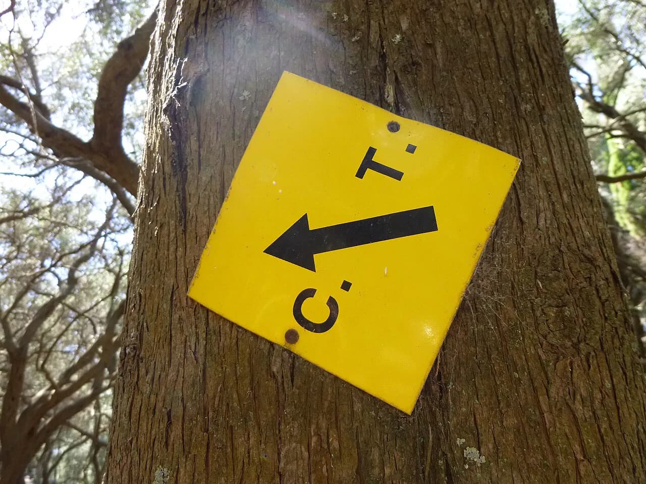
The Spartilas loop begins right beside a parking lot, which makes it the simplest Pantokrator route to organise if you have a car. Spartilas sits on the north-east flank of the mountain, and the route leaves the village on a marked trail before the two main climbs. The circuit is marked with splashes of paint, and it is slightly narrow in a few places where the path squeezes past walls and bends.
You finish back at the same parking lot, so there is no transport logistics at the end of the day. Arrive early enough to park without circling the village lanes, which are tight and can jam when a local event is on. The route's start point, waypoints and full track are laid out on the Spartilas loop route page if you want to load the GPS file before you drive up.
Distance, Ascent and Time for the Spartilas Loop
The Spartilas circuit covers 13.8 km (8.6 miles) with 530 m (1,740 ft) of ascent and takes about 4 hours 44 minutes at a steady pace. It is rated moderate: mostly accessible paths that still call for sure-footedness on the rougher limestone sections. The climbing comes in two main pulls, the first gaining 374 m over 3.44 km at an average gradient near 11 percent, the second adding 132 m over 1.46 km.
That profile means the hard work is concentrated early rather than spread evenly across the day. Surface matters too: roughly 4.96 km is path, 3.72 km is mountain hiking path, 2.47 km is hiking path and 2.12 km is road, with the rest made up of short footpath and street sections. Budget the full afternoon if you like to stop for photographs, and carry water for the exposed upper half.
Route Description: The Corfu Trail Climb to the Summit
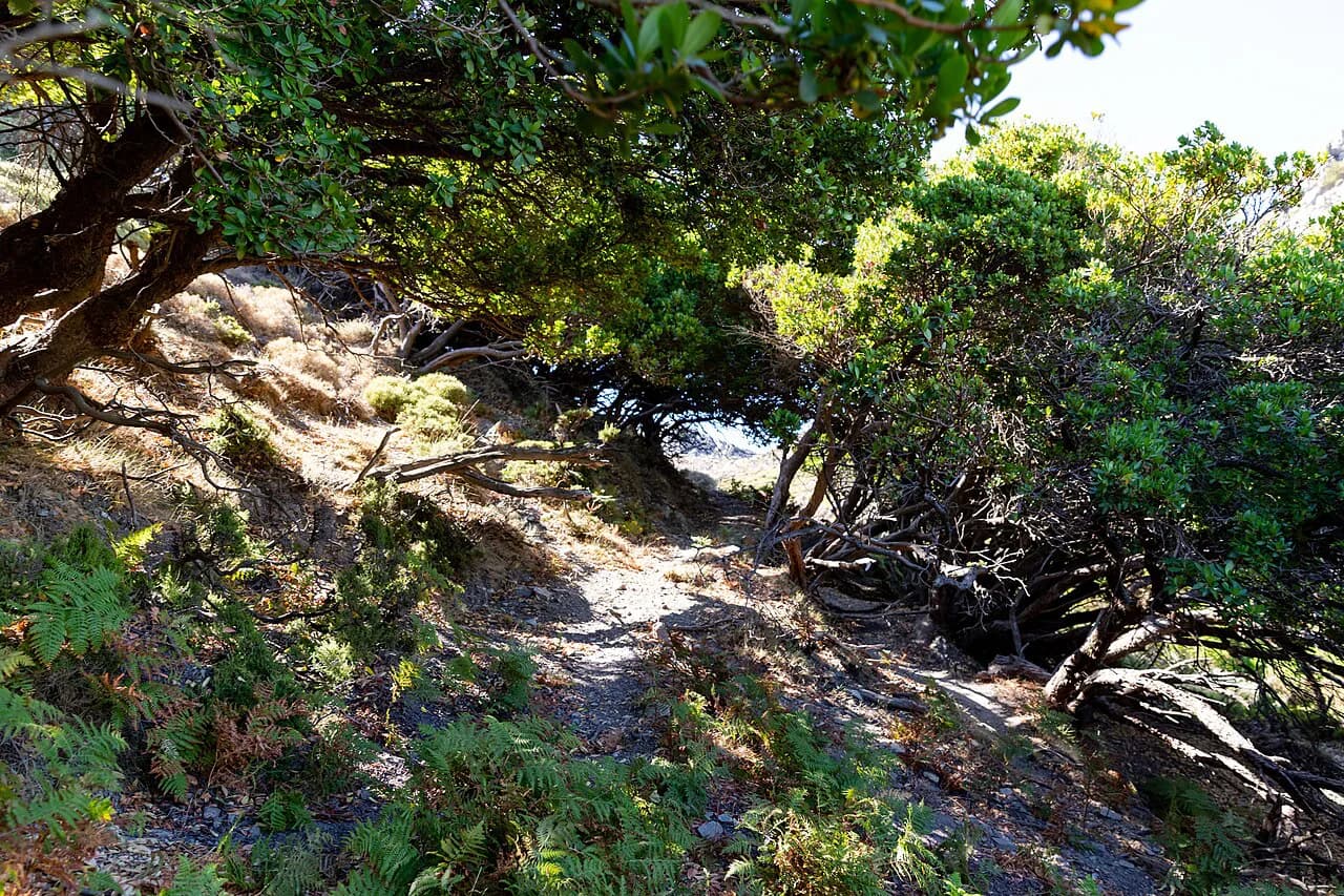
From Spartilas the route climbs steeply and at length along the Corfu Trail, which is how most hikers describe the first hour. The landscape changes quickly: small, jungle-like patches of forest give way to scrubby slope, then to green meadow framed by rough rock. After and before the two climbs the going is easy and the direction obvious, so navigation is straightforward as long as you watch for the paint marks.
The 2.7 km mark brings the scrubby forest section, and by 5.12 km you are already high enough for wide views over the surrounding mountains and down to the Mediterranean. On a clear day the peaks of the Albanian mainland are easy to pick out. The path then continues to the summit ridge, where the monastery and the masts come into view. The Corfu Trail runs the length of the island, so this climb is a natural taste of the longer route.
Wear boots with a proper tread; the limestone is slick where it is polished by foot traffic, and the narrow sections leave little room to step aside. In cloud the paint marks matter more than the view, so keep them in sight and do not cut across the switchbacks.
The Summit: Pantokrator Monastery, Masts and the Panorama
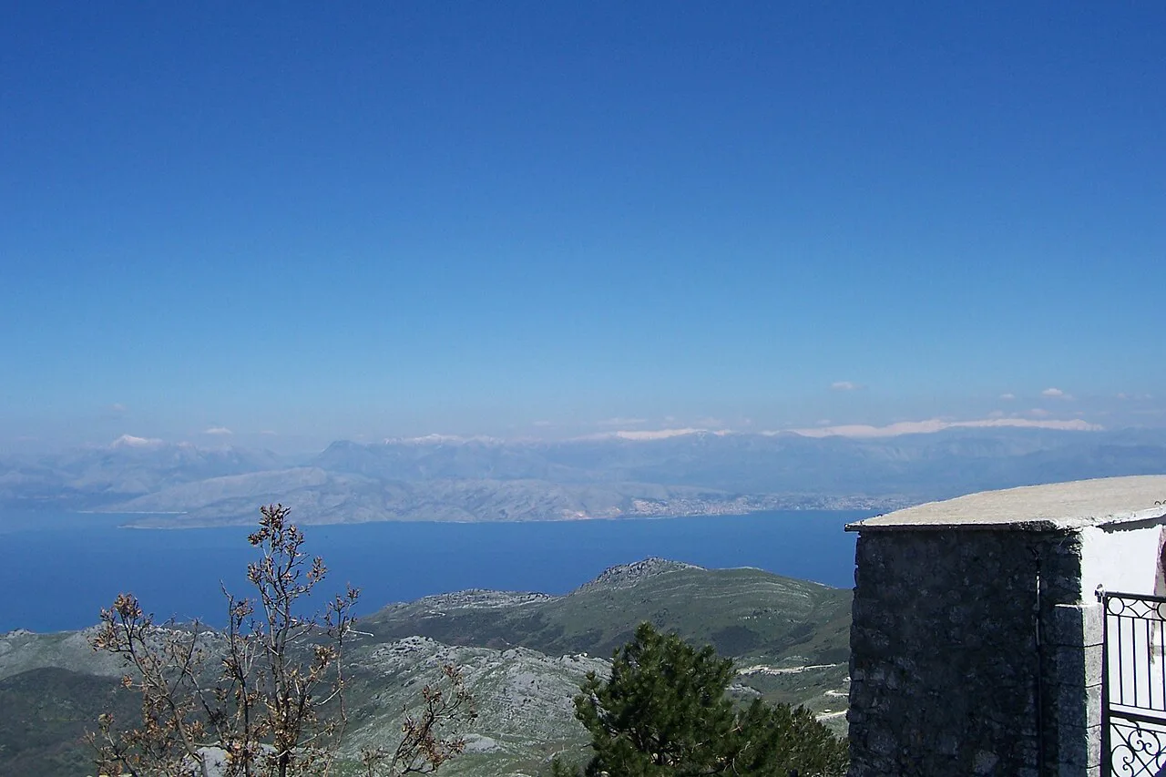
The summit is a strange, memorable mix of the sacred and the practical. Pantokrator Monastery sits just below the top, and outside the main season it may be closed, in which case the tour ends in front of the gate. The true summit is crowded with telecom masts, and between them you get a brilliant panorama over Corfu and Albania, with Italy visible in good weather.
Views from the sunny rocks take in Corfu Town and the airport to the south and Saranda across the water to the east. Expect other visitors at the top, whether they walked or drove, so the ridge is not a quiet place at midday. Plan your summit stop for the middle of the day only if you can accept company; early starts and late afternoons are calmer.
If the monastery gate is shut, treat the summit rocks as your destination rather than waiting. There is no shelter worth relying on at the top beyond what the buildings offer, so do not plan to sit out a change in the weather there.
The Descent Through the Limestone Plateau and Saranda Bay Viewpoints
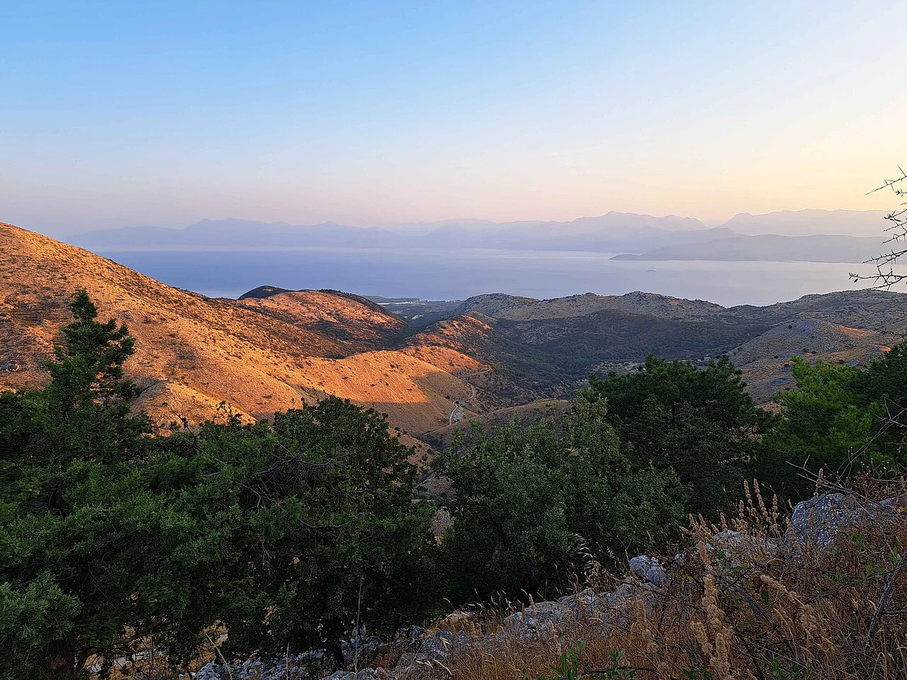
Below the summit the route becomes the most interesting part of the circuit. Around 6.96 km a secluded stretch of trail drops through limestone scenery where you walk alone after the crowds at the top, with wide views back to Corfu Town and across to the Albanian and Greek mainlands. Most hikers go clockwise around the plateau, and the landscape shifts abruptly at about 10.1 km, from bare rock to greener slopes.
The Saranda Bay viewpoint at 9.87 km is the reward for the circuit, and the Archangel Chapel viewpoint near 12.1 km comes shortly before the return to Spartilas. This is where a straightforward up-and-down becomes a proper half-day walk. Keep an eye on the time on the plateau, because the descent is longer than the climb feels and the road stretch back into the village comes at the end.
The Old Perithia and Lafki Approach
The alternative from the north side is a 14.0-mile (22.5 km) out-and-back from Lafki via Palia Perithia to the Pantokratoras peak, averaging about 6 hours 31 minutes and rated challenging. It gains its height over a much longer distance, so the gradient is gentler than the Spartilas climb but the day is far longer. Treat it as a full-day outing with an early start and enough food for the return leg.
Old Perithia, the abandoned village on the route, is the obvious halfway landmark and the place to rest before the summit push. Because the route is out-and-back, you retrace your steps to Lafki, which means the views open in the opposite direction on the way home. Hikers who want the summit without the repeated ground should prefer the Spartilas loop; those who want distance and a quieter line should take this one.
The full description and recent condition reports for the Lafki route are worth reading before you commit, since the upper sections are where the day gets long.
Getting to the Trailheads Without a Car
The Spartilas route starts next to a parking lot, so parking is the simple part; the harder question is the drive up from the coast, which uses narrow village lanes. Independent hikers without a car face a real constraint on Corfu, since the mountain villages sit above the main road network. Guided options exist that include transport to the mountain, and a day tour is the least complicated way to reach the summit without driving yourself. Mount Pantokrator tours list hiking from Old Perithia and driving to the summit monastery as the usual formats.
If you are building a walking week around the island, based-in-one-village arrangements solve the same problem by putting you within reach of the trailheads on foot or by short transfer. Compare what guided days and self-guided packages include, and match the format to how much logistics you want to handle.
For a sense of what is on offer from the summit area, including walking options that start from the villages, the Mount Pantokrator activity listings give a useful overview.
When to Go: Seasons, Cloud and Heat
Late spring and early autumn give the best balance of warmth and clear air on the mountain. Midsummer heat makes the exposed limestone climb harder than the numbers suggest, and the summit is often wrapped in cloud that hides the Albania view entirely. A cloudy forecast is not a reason to cancel, but it is a reason to lower expectations for the panorama and to carry a shell.
Cloud can also change the character of the descent, where the paint marks guide you through the plateau. Snow is rare at this altitude but not impossible in winter, and the rock stays slick after rain. Check the forecast the morning you go and start early enough to be off the summit ridge before afternoon build-up.
What to Wear and Carry on the Limestone Terrain
Sturdy boots with grip, a light shell, sun protection and at least two litres of water per person cover the Spartilas loop comfortably. The upper half is exposed, and the sunny summit rocks offer little shade, so a hat matters more than an extra layer for most of the year. Poles help on the steep first climb and on the loose sections of the descent.
Because roughly 2.12 km of the loop is road, a little cushioning underfoot pays off on the way back into Spartilas. Pack a map or load the GPX track, since the paint marks are intermittently placed. Leave the drone and the large camera bag at home if you are unsure about the climb; the circuit is better enjoyed light.
Huts and Shelter on the Mountain
There are no mountain huts on Pantokrator in the alpine sense, and the summit buildings are not a place to plan an overnight. The monastery may be closed outside the main season, so do not count on a roof, water or food at the top. Carry everything you need for the day, and treat the villages as your base rather than the mountain.
If you are used to alpine refuges, adjust your expectations: this is a day-hike mountain, and the nearest beds are in the villages on its flanks. That makes an early start from the village more important than hut logistics.
Where to Base Yourself: Spartilas, Strinilas and Old Perithia
Spartilas is the natural base for the loop: the trailhead parking lot is in the village, so you walk from your door. Strinilas, higher on the mountain, puts you close to the summit road and shortens the climb at the cost of a steeper start; the Strinilas circuit is a shorter 12.6 km (7.8 miles) with 330 m (1,083 ft) of ascent, taking about 3 hours 40 minutes. Old Perithia suits the Lafki approach and gives you the abandoned village as a halfway stop.
Choose Spartilas for the classic loop and the easiest logistics, Strinilas for a shorter climb and quicker access to the top, and Old Perithia if you want the northern approach and the longer day. All three are small villages, so book your accommodation before you fix your dates.
Plan Your Pantokrator Day
Decide first which day you want: the 13.8 km Spartilas loop with 530 m of ascent and a summit monastery, or the 22.5 km Lafki out-and-back through Old Perithia. The first suits most fit hikers and needs only a car and an early start; the second suits strong walkers with a full day and a taste for distance. If you are weighing up comparable summit-and-village walks elsewhere in the Mediterranean, the Kotor hiking guide offers a useful comparison.
Whichever you pick, start early, carry water, and treat the summit as a viewpoint rather than a refuge. If you want the mountain folded into a longer week on the island, the island's hiking guide sets Pantokrator alongside the coast and village walks that make Corfu worth a trip on foot.
Frequently Asked Questions
How long does the Mount Pantokrator hike take?
The marked Spartilas loop takes about 4 hours 44 minutes at a steady pace, covering 13.8 km (8.6 miles) with 530 m (1,740 ft) of ascent. The longer Lafki to Pantokratoras out-and-back averages about 6 hours 31 minutes over 14.0 miles (22.5 km). Add time at the summit for photographs and the monastery gate.
Where do you start the Mount Pantokrator hike?
The Spartilas circuit begins right beside a parking lot in Spartilas, on the north-east flank of the mountain, and returns to the same place. The longer alternative starts from Lafki and passes through Old Perithia on the way to the summit.
Can you drive to the top of Mount Pantokrator?
A road reaches the summit area near the monastery and the telecom masts, which is why the top can be busy at midday. Hikers who drive up can still walk the plateau circuit below the summit on foot.
How hard is the hike to Mount Pantokrator?
The Spartilas loop is rated moderate, with mostly accessible paths and some sure-footedness needed on rough limestone. The Lafki to Pantokratoras route is rated challenging because of its length rather than its gradient.
Is the Pantokrator Monastery open to hikers?
Pantokrator Monastery may be closed outside the main season, in which case the route ends in front of the gate. Treat the summit rocks and the panorama as the destination if the gate is shut, and ask locally about visiting hours before you build the day around a monastery visit.
Sources
Trail notes for your next trip
Optional updates when we add or revise hiking guides.
You might also like
Continue reading
More guides you'll find useful