Lago Federa Hike from Cortina d'Ampezzo: Trail Guide
The Lago Federa hike climbs from Ponte Ru Curto near Cortina d'Ampezzo to a mirror-still lake below Croda da Lago, with a harder loop option for autumn larches.
On this page
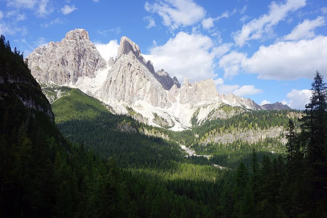
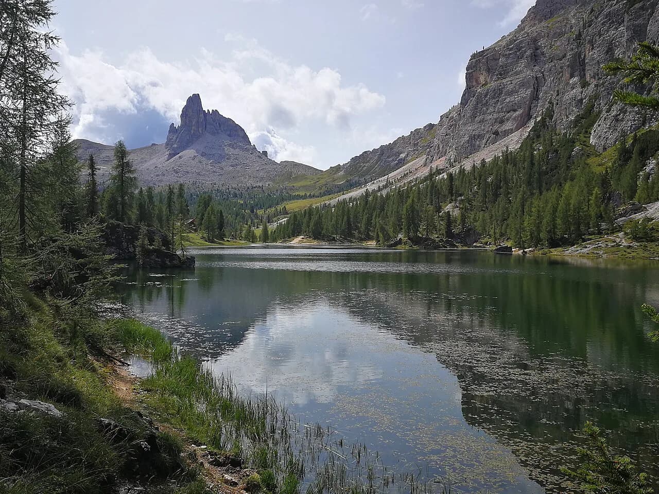
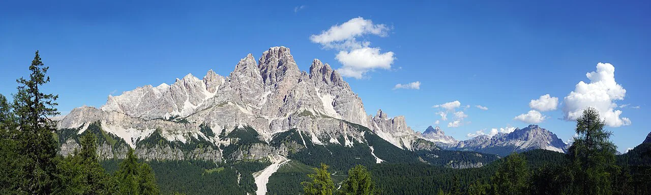
Lake Federa is a glassy alpine tarn below Croda da Lago, one of the most photogenic corners of the Ampezzo Dolomites, and the walk to its shore suits half-day hikers as well as photographers who come for the golden larches of October. The out-and-back from the Giau pass road is steady rather than savage, while fitter parties can continue over Forcella Ambrizzola and turn it into a full loop.
The lake itself is the reward, but the route earns it through larch meadows and a switchbacked climb to the Val Negra ridgeline, so plan the day around how much time you want at the water rather than around a race to the shore. If you are based in Cortina d'Ampezzo, the trailhead is a short drive or a summer bus ride from town.
Where the hike starts
The Lago Federa hike begins at Ponte Ru Curto, about 10.5 km (6.5 miles) from Cortina on the road toward Passo Giau; parking is limited and roadside, so the trailhead rewards an early start. There is no lift on this route, which keeps the approach simple but means every metre of ascent is yours. The lake is the midpoint, and the shoreline rifugio is where most hikers turn around.
For the full loop, the route leaves the out-and-back somewhere above the lake and rejoins the valley on a different line, so the descent is not simply the climb in reverse. Decide at the lake whether you have the legs for the continuation; the return on trail 437 is the safer choice in poor visibility.
Getting there: drive, park and bus
By car, drive the Giau pass road from Cortina and park along the roadside at Ponte Ru Curto; spaces are scarce in high season, so arriving before mid-morning gives you the best chance of a spot. The road is paved and the trailhead is signed, but the pull-outs are informal rather than a proper car park.
Without a car, take the Dolomiti bus from Cortina or Pescul to the Pian del Pantan stop, which sits close to the trailhead. Bus service on this line runs in the summer window rather than year-round, so match your trip to the season and check the current timetable with Dolomiti Bus before you commit.
Distance, ascent and time
The core out-and-back to Lake Federa covers about 14 km (8.7 miles) with roughly 800 m (2,600 ft) of ascent and descent, taking 5 to 6 hours at a steady pace including time at the lake. That is a solid half-day or a relaxed full day, and the figures describe the return trip rather than a one-way push.
Treat those numbers as the planning baseline. If you continue over Forcella Ambrizzola, expect a longer and rougher day than the out-and-back suggests, because the loop adds a climb, a scree traverse and a descent on a different line; build in extra time and daylight for it.
Route description to the lake
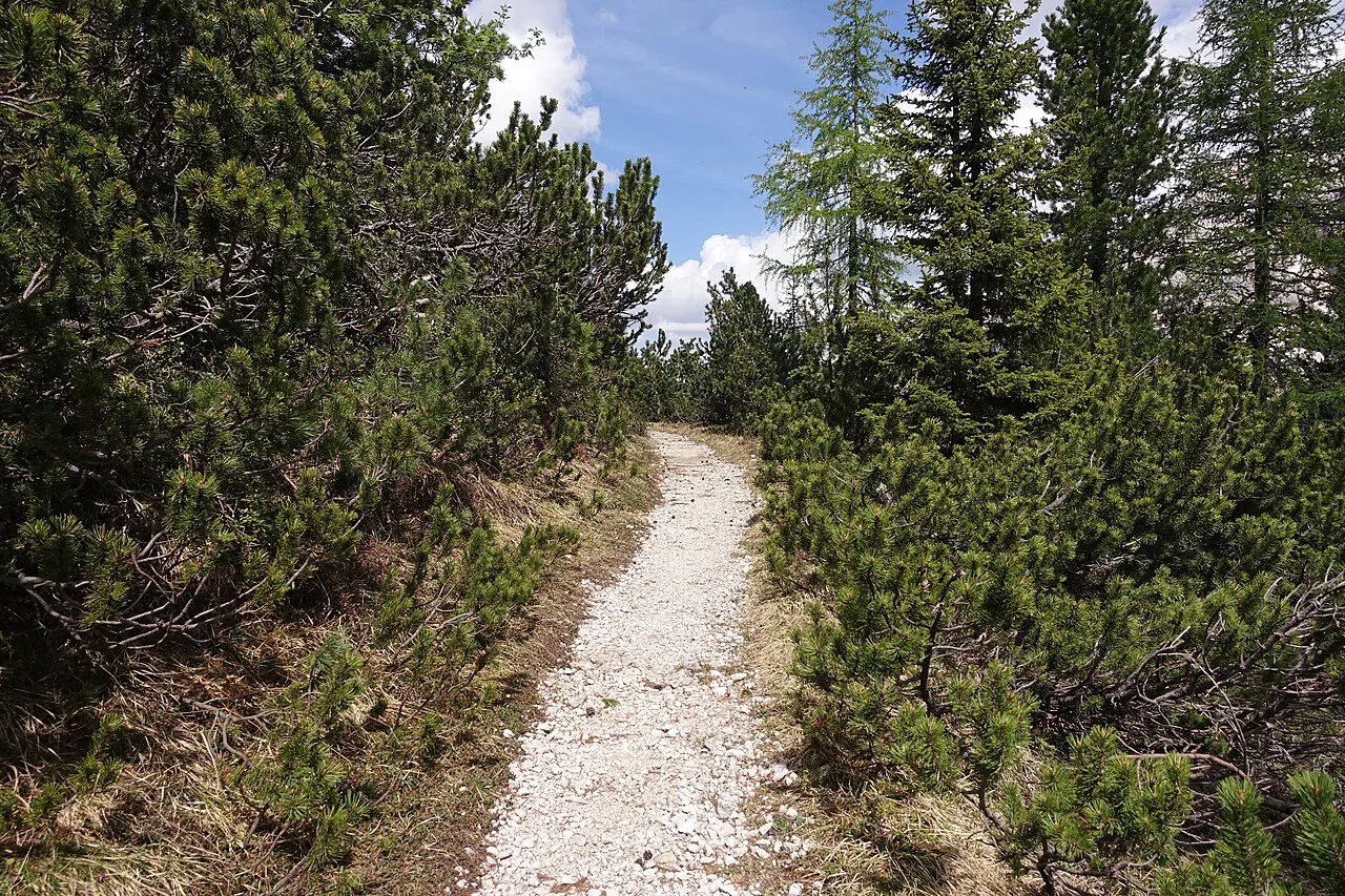
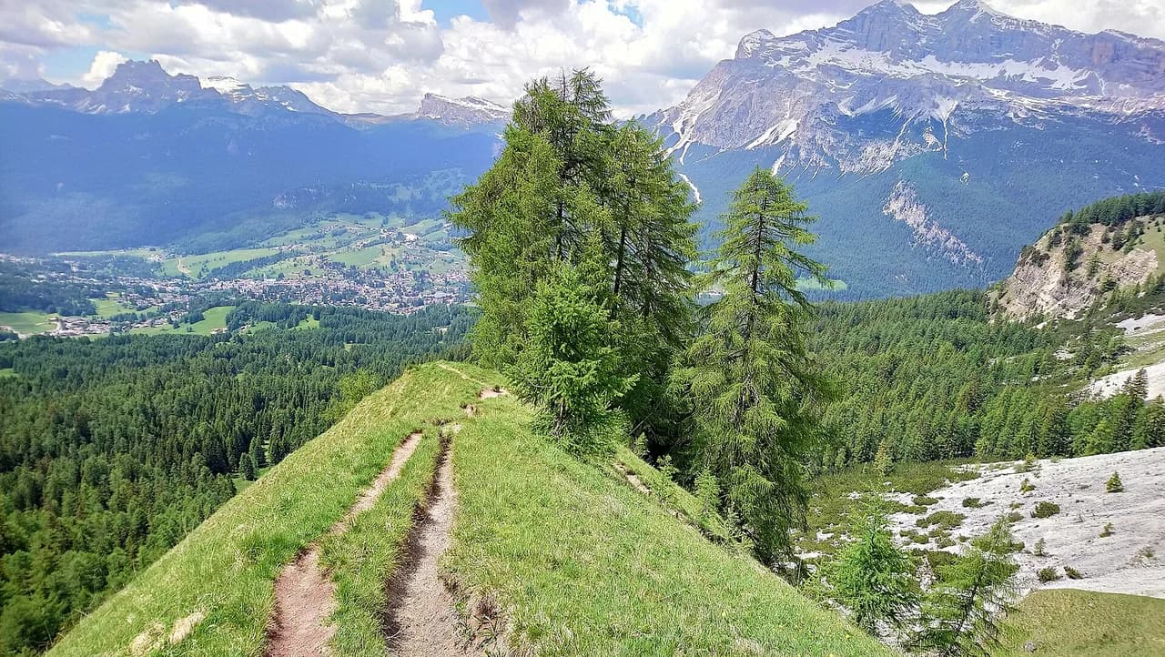
From Ponte Ru Curto, follow trail 437 upward through the forest. At the fork, keep left on 437 and take the switchbacks that climb to Val Negra, a ridgeline viewpoint that opens up the valley below; the trail then passes through a meadow gate and continues to the lake.
The final approach is gentler than the switchbacks, with the water appearing below Croda da Lago and the shoreline rifugio on its edge. Landmarks come in a clear order, so you can follow the route confidently without a GPS: fork, Val Negra, meadow gate, lake.
Rifugio Croda da Lago at the lake
Rifugio Croda da Lago sits right on the shore, serving meals, drinks and toilets, and it is the natural lunch stop before the return. For hikers who want to split the loop over two days, an overnight here puts you at the lake for early light and quiet water.
The hut stays open into early November in a typical year, but its season is shorter than the road's, so check the current dates with the rifugio before relying on it for food or a bed. Outside the hut's season, the lake is still reachable, but you carry your own water and shelter.
The loop continuation over Forcella Ambrizzola
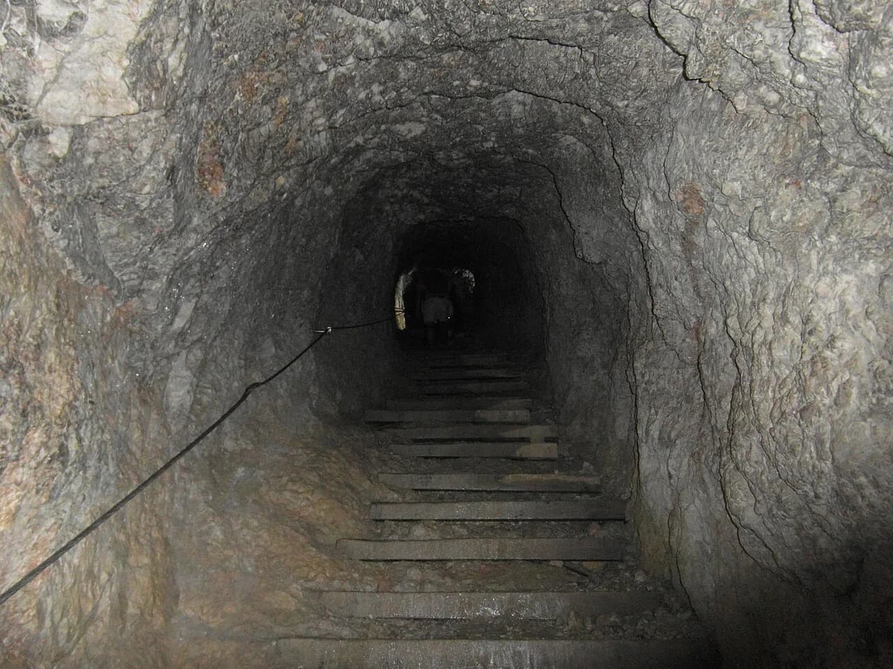
From the rifugio, the loop climbs toward Forcella Ambrizzola and then crosses a saddle where the footing turns to scree; this is the section that separates a comfortable half-day from a proper mountain day. Take it slowly, keep your weight over your feet and use poles if you have them.
After the saddle, trail 437 drops you back into the valley where you started. The descent is rough and hard to follow in places, so allow more time than the map suggests and start early enough to finish before dark.
When to go: summer season and larches
The hiking season runs from late June to early October, when trails are clear of snow and the bus line is operating. The larch window falls later, from late September into October, when the meadows and the lake shoreline turn gold; that is the photographer's season, but it is also when daylight shortens and temperatures drop.
Aim to be at the lake in mid-morning for the stillest water and the softest light, and plan your return for early afternoon. Afternoon storms are common in the Dolomites in summer, and the exposed switchbacks below Val Negra are not where you want to be when thunder starts.
Hazards and footing
The switchbacks below Val Negra are steep and sustained, and the loop's scree section demands careful footing, so trail shoes with grip are a minimum and trekking poles help on both. Early and late in the season, snow can linger on the higher ground around Forcella Ambrizzola even when the valley is clear, so carry traction if you plan the loop in October.
Take the weather seriously: afternoon thunderstorms build quickly in summer, and the ridgeline is exposed. Start early, turn around if the sky darkens, and treat the out-and-back as the default when conditions are uncertain.
What to bring and where the water and shelter are
There is no water or shelter between Ponte Ru Curto and the shoreline rifugio, so carry enough for the climb and the return. Pack a shell, a warm layer and a headlamp, and bring cash for hut food and drinks in case card payment is unavailable.
If the hut is closed, the lake is still a fine destination, but you need to be self-sufficient for food, water and weather protection. That is the trade-off of the shoulder season: fewer people, more self-reliance.
Adding a second day in the Cortina d'Ampezzo area
Lake Federa pairs well with other days out from Cortina. The Lago di Sorapis Hike from Passo Tre Croci goes to a turquoise lake with cable-assisted sections and narrow ledges, a step up in exposure from the Federa out-and-back, and it is a 15-minute drive or a short bus ride from town.
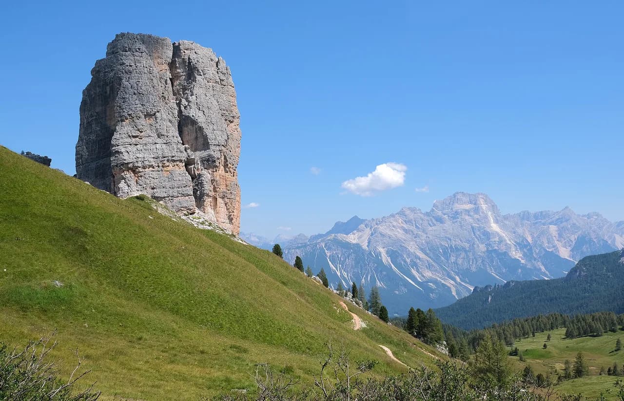
For a shorter day with war-history interest, the Cinque Torri Hike takes in preserved trenches and gun positions below the towers, with rifugi along the way. Both options keep you inside the Cortina d'Ampezzo area, so you can base yourself in town and avoid long transfers. If you would rather compare Cortina with valley bases further west, the Val Gardena hiking guide covers that same decision for another Dolomite hub.
Planning the day around the lake
Decide before you set off whether you are doing the out-and-back or the loop. The out-and-back suits hikers who want a lake, a hut lunch and a straightforward return; the loop suits fitter parties with scree experience and a full day of daylight.
Whichever you choose, leave the trailhead early enough to be off the exposed ground by early afternoon, and keep an eye on the sky. The lake rewards those who arrive before the wind picks up and the day-trippers fill the shore.
Plan Your Visit
The Lago Federa hike is one of the most satisfying half-days out of Cortina d'Ampezzo: a steady climb on trail 437, a mirror-still lake below Croda da Lago, and a rifugio on the shore for lunch. The out-and-back is the sensible default, with the Forcella Ambrizzola loop reserved for fitter parties and settled weather.
Book your accommodation in Cortina early if you are coming for the October larches, and check the rifugio's season and the Dolomiti bus timetable before you travel. Then set your alarm, park at Ponte Ru Curto while spaces remain, and give the lake the time it deserves.
Frequently Asked Questions
How long is the Lago Federa hike?
The out-and-back from Ponte Ru Curto to Lake Federa covers about 14 km (8.7 miles) with roughly 800 m (2,600 ft) of ascent and descent, taking 5 to 6 hours at a steady pace. The loop over Forcella Ambrizzola is longer and rougher, so allow a full day.
Where does the Lago Federa hike start?
It starts at Ponte Ru Curto on the road from Cortina d'Ampezzo toward Passo Giau, about 10.5 km (6.5 miles) from town. Parking is limited and roadside, so arriving early helps.
Can you reach the Lago Federa trailhead by bus from Cortina d'Ampezzo?
Yes, in summer season: the Dolomiti bus runs from Cortina or Pescul to the Pian del Pantan stop near the trailhead. Service does not run year-round, so check the current timetable.
When is the best time to see the larches at Lake Federa?
Late September into October is the larch window, when the meadows and shoreline turn gold. The main hiking season runs from late June to early October, so the two overlap at the start of autumn.
Is the Croda da Lago loop harder than the out-and-back to the lake?
Yes. The loop adds a climb to Forcella Ambrizzola, a scree traverse and a rough descent on a different line, so it demands more fitness, better footing and more daylight than the out-and-back.
Is there a hut at Lago Federa?
Rifugio Croda da Lago sits on the lake shore and serves meals, drinks and toilets, and it offers overnight stays. Its season usually runs into early November, so check the dates before you rely on it.
Sources
Trail notes for your next trip
Optional updates when we add or revise hiking guides.
You might also like
Continue reading
More guides you'll find useful