Croda da Lago Hike from Cortina d'Ampezzo: Route Guide
Plan the Croda da Lago hike above Cortina d'Ampezzo: three trailheads, the Cima Croda da Lago loop, distances and ascent, and staying at the rifugio.
On this page
The Croda da Lago hike delivers a mountain lake, a staffed rifugio and larch forest in one half day or one long day above Cortina d'Ampezzo. The shortest line from the road climbs about 410 m (1,350 ft) in 4.2 km (2.5 mi) each way, so fit walkers with an early start can be at the lake by late morning and back for dinner.
Three approaches suit different hikers. Car drivers use the Ponte de Ru Curto trailhead for the direct climb to Lago Federa, bus users can start lower from the Campo di Sotto and Lago Pianoze area, and stronger parties circle the whole Cima Croda da Lago massif for the best views and the quietest ground. This is one of the classic day hikes from the village, and the wider hiking in Cortina d'Ampezzo offers plenty of alternatives if the weather turns.
Where the Hike Sits Above Cortina d'Ampezzo
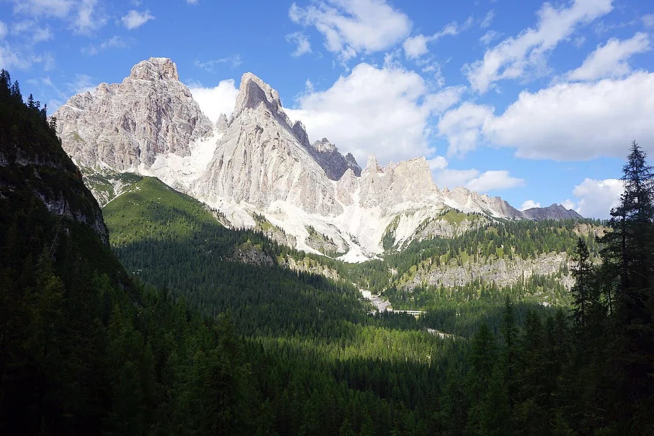
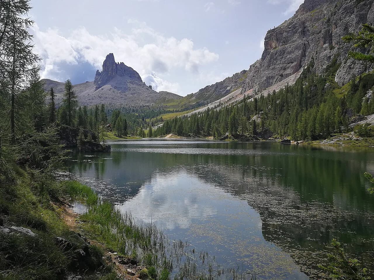
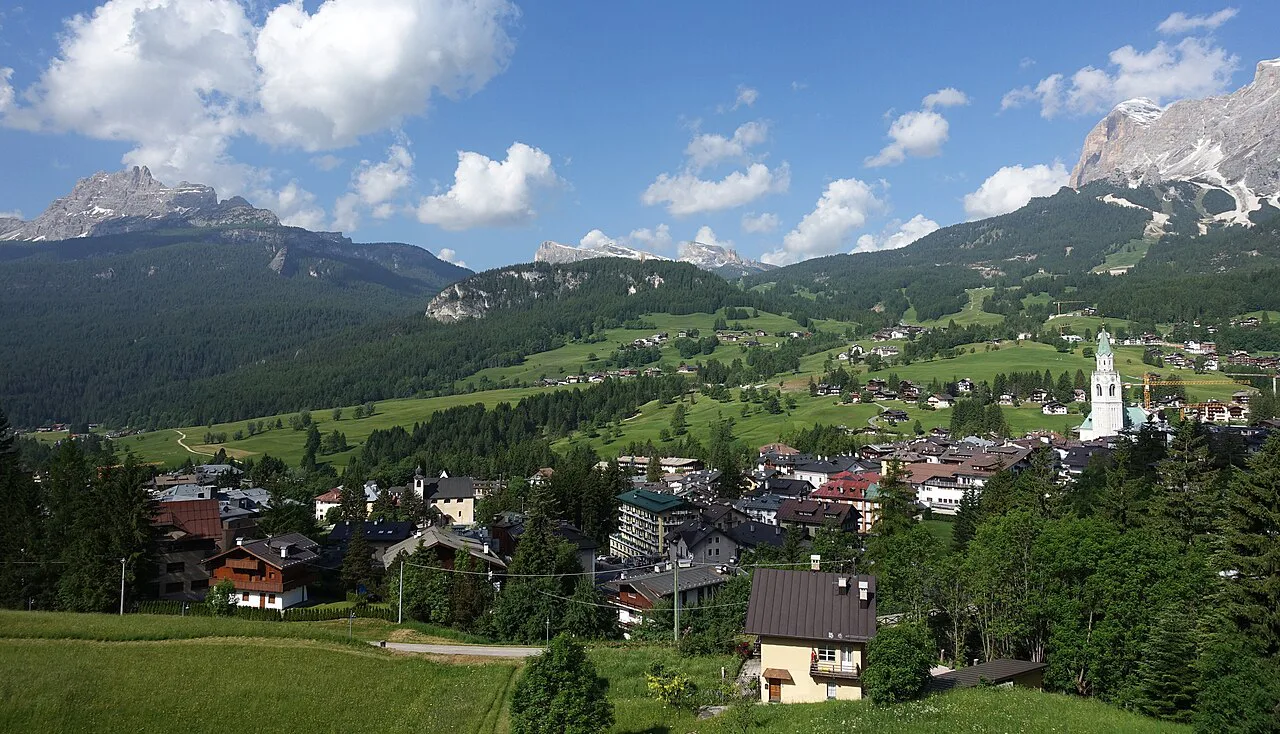
Croda da Lago is the ridge-and-peak group south of Cortina d'Ampezzo, with Lago Federa held in a bowl beneath Cima Croda da Lago. From the lake the view runs across to Tofana di Mezzo and back toward the town, and the rifugio sits a few minutes beyond the water. Everything on this page lies inside the Ampezzo Dolomites, so you can plan the day without leaving the valley. If you would rather compare bases and trailheads across the wider range, the Dolomites hiking guide covers those choices.
The three approaches differ in starting elevation rather than in destination. Ponte de Ru Curto, a short drive from Cortina, gives the shortest and easiest line; Lago Pianoze below the federa valley gives a longer forest start reachable on foot from Campo di Sotto; the circuit from Ponte de Ru Curto adds the high passes around the peak. Pick by how much climbing you want and whether you have a car.
Trailhead 1: Ponte de Ru Curto
Ponte de Ru Curto is the most popular start and the easiest with a car, roughly a 15-minute drive from Cortina. From the parking area the trail climbs through forest with two viewpoints that open onto the valley below, Tofana di Mezzo and the town, and the Becco d'Aial climbing wall stands across the valley. The route is mostly mellow except for one steep pull, so the climb feels short even with a pack.
Arrive early, because the trailhead is heavily used and parking fills through the morning, leaving you further along the access road. By this line you reach the lake before the rifugio, which makes Lago Federa the natural lunch stop. Expect about 4.2 km (2.5 mi) each way and 410 m (1,350 ft) of ascent to the rifugio.
Trailhead 2: Lago Pianoze via Campo di Sotto
The lower start begins near Lago Pianoze, a short walk or bus ride from central Cortina through Campo di Sotto, and follows forest service roads past Malga Federa before reaching the lake. It adds distance and vertical: about 6.5 km (4 mi) each way with 885 m (2,800 ft) gained, most of it shaded forest. Hikers without a car can walk up from Cortina and skip the parking problem entirely.
Treat this as the quiet, leg-powered option rather than the quick one. The gravel road grade is steady rather than brutal, and the forest keeps you cool on warm afternoons, but you will notice the extra 1,450 ft (about 440 m) of climbing compared with the Ponte de Ru Curto line. Plan a full day if you also want time at the rifugio and the lake.
Trailhead 3: The Cima Croda da Lago Circuit
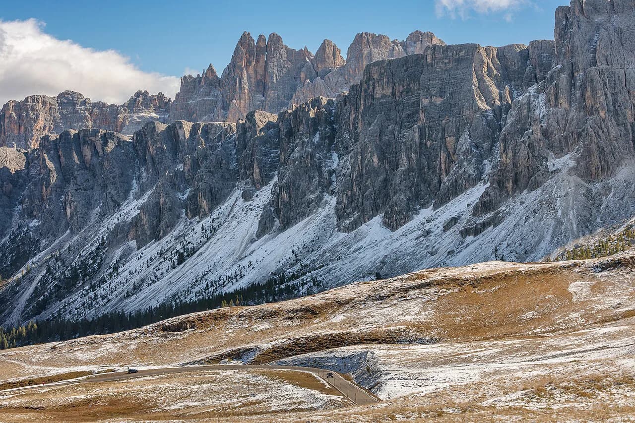
The circuit starts at Ponte de Ru Curto but leaves the main trail early on a faint right-hand turn into the valley between Torrione Marcella and Cima Croda da Lago. It climbs above the trees to the saddle at Forcella de Formin, drops to Forcella Rossa, then descends steeply on loose rock back to the main track, which is signed as the Dolomites World Heritage Geotrail 46. A gentler alternative descent runs through Forcella Ambrizzola and adds a little distance.
Walk the loop counterclockwise so the steepest ground is climbed rather than descended. That direction puts the sharp pull on fresh legs and leaves the easier grade for the way down, and the open sections at Forcella de Formin give the best views of the day. The move onto the faint turn is easy to miss, so watch for the white-red trail markers where the main trail bends.
Distance, Ascent and Time
From Ponte de Ru Curto the direct line is about 4.2 km (2.5 mi) each way with 410 m (1,350 ft) of ascent, a half-day walk at an easy pace. From Lago Pianoze the same rifugio costs about 6.5 km (4 mi) each way and 885 m (2,800 ft) of climbing. Figures come from trip reports rather than an official trail sheet, so treat them as planning numbers.
For the full circuit, count on 11–15 km (7–9.5 mi) with roughly 820–945 m (2,700–3,100 ft) of ascent, which is a solid day out. One recording of the lake loop from Cortina gives 11.5 mi (about 18.5 km) and 3,477 ft (1,060 m) of gain over 7–8 hours, a longer version that includes the approach from town. The loop's steepest kilometre gains about 1,600 ft per mile, so short legs will feel it.
Route Description: Ponte de Ru Curto to Lago Federa
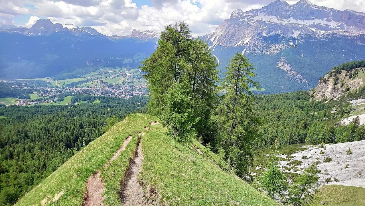
From the parking area the trail enters larch and spruce forest and climbs steadily, passing the viewpoints over Cortina before the one steep section pitches up. Above it the trees thin, larches line the path, and the trail reaches the shore of Lago Federa with the rifugio visible beyond the water. The walking is straightforward and well marked throughout.
Rifugio Croda da Lago, also called Rifugio Palmieri, sits just past the lake and is run as a staffed hut with a sauna. Take the few minutes to walk the far shore, where the view back to the hut and the peak is the best on the hike. Return the way you came, or extend with the circuit described above.
Staying at Rifugio Croda da Lago
Reservations go through the Croda da Lago rifugio website, where you book a bed and choose half board. One hiking party paid €73 for half board covering bed, breakfast and dinner, with drinks at dinner charged extra; treat that as the rate they paid rather than a fixed price, since hut rates change by season. Bring a sleeping bag liner, which rifugios require.
The hut is open into October, later than most rifugios that close in September, which makes it a good base for late-season larch walks. Dinner runs at a set time in the evening, and you settle the bill after dinner or in the morning. An overnight turns a short day hike into a sunrise trip to the lake, and the sauna is a genuine bonus after the climb.
When to Go
Early October is prime larch season here, with the European larches turning gold throughout the forest, and the route was snow-free in mid-October of one recent year. The same report notes most cable cars around Cortina were closed by then, so plan this as a walk from the road rather than a lift-assisted day. Autumn daylight shortens quickly, so start early enough to be off the pass before dusk.
Spring and early summer can leave snow on the passes long after the forest clears, and the loose-rock descent below Forcella Rossa is worse when wet or icy. If conditions look doubtful on the high circuit, take the Forcella Ambrizzola descent or stay on the direct line to the lake. In any season, aim to be below the ridges by mid-afternoon, when storms build over the Dolomites.
Hazards and What to Bring
The circuit has one short, easy class 2–3 scramble near the pass, and a steep kilometre that gains about 1,600 ft per mile; neither is technical, but both demand care with a full pack. The descent from Forcella Rossa runs on loose rock, so shorten your stride and keep your weight over your feet. Carry layers, water and food, since the only reliable services are at the rifugio.
Pack a sleeping bag liner if you are staying overnight, and book half board in advance if you want dinner included. A small torch, cash for extras and a warm layer for the evening make the hut stay comfortable. Hiking poles help on the loose descent.
Other Bases and Nearby Walks
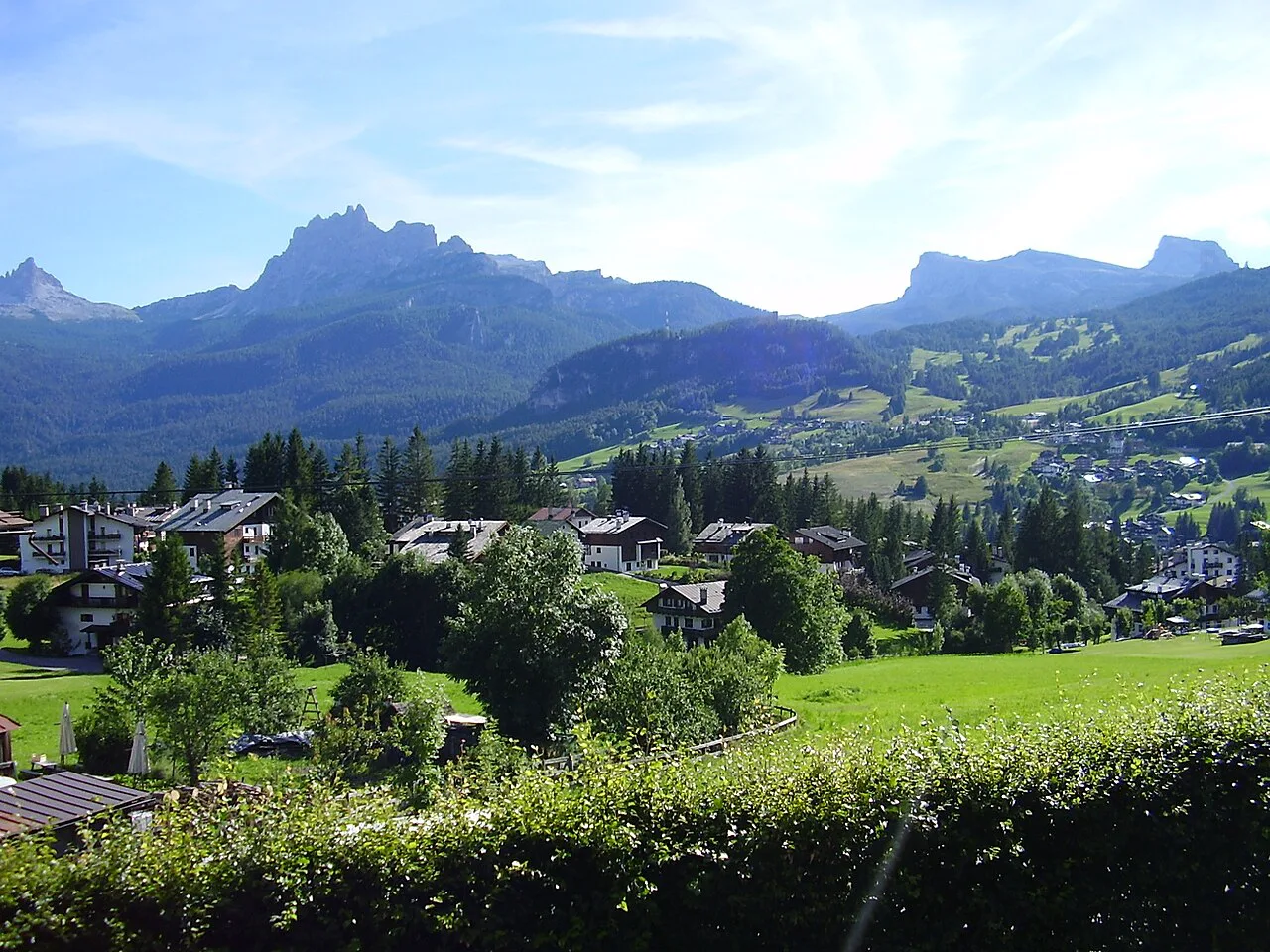
Cortina d'Ampezzo is the natural base, with Campo di Sotto a quieter alternative within walking distance of the lower trail. From either, the Ponte de Ru Curto start is a short drive, which is why a car makes the direct line so convenient. Buses serve the town centre, but the trailhead itself is best reached by car.
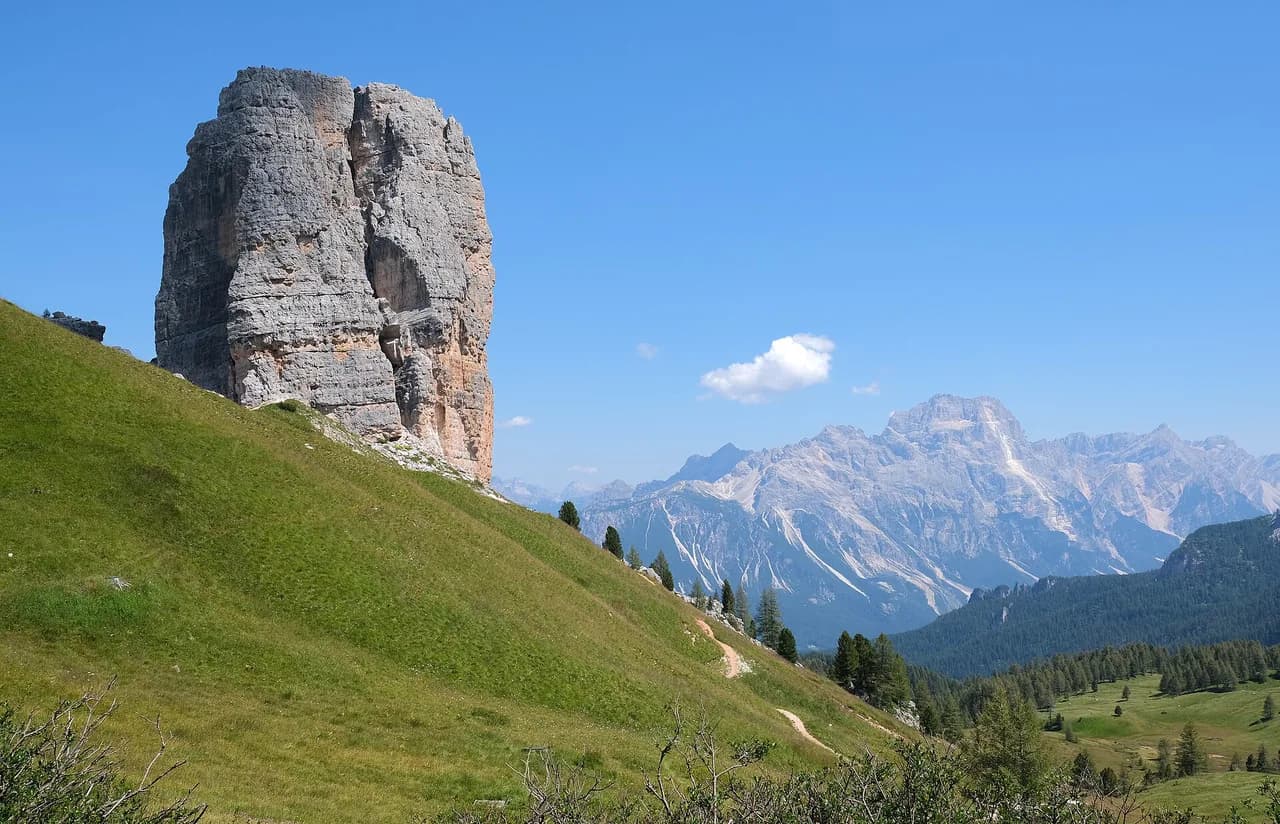
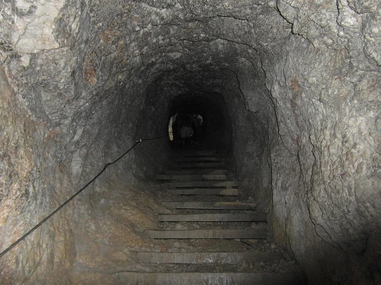
If you want a second day in the area, the Lago di Sorapis Hike from Passo Tre Croci pairs a turquoise lake with a ledge trail and makes a fine contrast to the open ridges here. The Cinque Torri Hike is shorter and closer to the road at Ponte de Ru Curto, and the Lagazuoi Tunnels offer a very different mountain day.
Plan Your Visit
Decide first how you want to reach the trailhead: drive to Ponte de Ru Curto for the shortest line, walk up from near Campo di Sotto for the leg-powered one, or commit to the full circuit if you want views from the passes. Book the rifugio if you plan to stay, remembering the sleeping bag liner and half-board option.
Go in early October for the larches and check rifugio availability before you go, since the hut stays open into October while most in the area close in September. Start early, carry a warm layer and be off the high ground before afternoon storms.
Frequently Asked Questions
How long is the Croda da Lago hike?
From Ponte de Ru Curto it is about 4.2 km (2.5 mi) each way with 410 m (1,350 ft) of ascent, a half-day walk. From Lago Pianoze the round trip is about 6.5 km (4 mi) each way and 885 m (2,800 ft) of climbing. The full circuit around Cima Croda da Lago takes most of a day.
Where do you park for the Croda da Lago hike?
The main trailhead is Ponte de Ru Curto, roughly a 15-minute drive from Cortina d'Ampezzo. Parking there is limited and fills early on busy days. A lower alternative starts near Lago Pianoze, also with limited parking.
Can you reach the Croda da Lago trailhead by bus from Cortina?
The lower start near Lago Pianoze can be reached on foot or by bus from Cortina d'Ampezzo through Campo di Sotto. No bus timetable is published in the sources for this hike, so ask at the Cortina tourist office or check the local transport operator's site before relying on a bus.
Is the Croda da Lago loop difficult?
It is a demanding day hike rather than a technical climb. The loop includes one short easy class 2–3 scramble near the pass, a steep kilometre gaining about 1,600 ft per mile, and a loose-rock descent below Forcella Rossa. Walk it counterclockwise to climb the steep section.
Can you stay overnight at Rifugio Croda da Lago?
Yes. Book through the rifugio's own website, where you can choose half board covering bed, breakfast and dinner. Bring a sleeping bag liner, which rifugios require, and pay for drinks separately at dinner.
When is the best time to hike Croda da Lago for larches?
Early October is when the European larches turn gold, and the route can still be snow-free in mid-October. The rifugio stays open into October, later than most huts in the area, which allows a late-season overnight.
Sources
Trail notes for your next trip
Optional updates when we add or revise hiking guides.
You might also like
Continue reading
More guides you'll find useful