Walks in Cornwall: Coastal Path Sections and Day Hikes
Plan walks in Cornwall along the South West Coast Path and inland trails, with route options from Sennen, St Ives, Padstow, Falmouth and the Lizard.
On this page
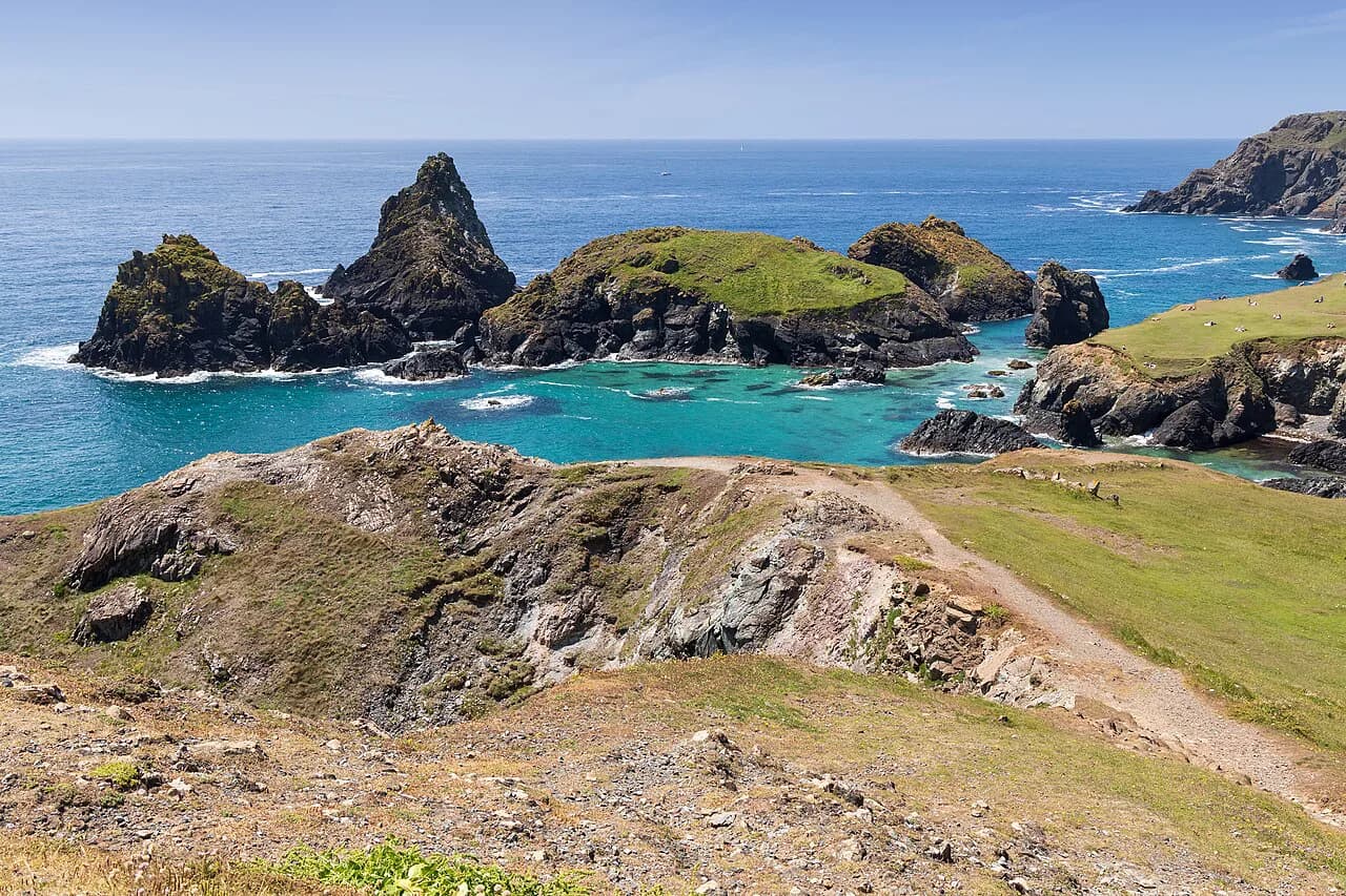
Cornwall is a county built for walking, with a coastline of steep-sided coves, granite headlands and fishing villages strung along the South West Coast Path. The walking splits cleanly into two families: exposed cliff days where the sea is always in view, and inland trails that trade the horizon for lanes, fields and moorland edges. This guide shows how the Cornish sections link together, which day walks suit a short break, and which town makes the best base for each stretch.
Cliff paths here rise and fall constantly, so a modest distance can hide a demanding day. Read every route by its total ascent as much as its kilometres, and expect short, sharp climbs out of each cove rather than one long mountain pull. The same principle applies if you compare hiking in the Lake District, where distance alone rarely tells you how hard a day will feel.
What the Coast Path and Inland Trails Offer
The South West Coast Path is Britain's longest waymarked long-distance trail, and its Cornish miles run from the Devon border near Marsland Mouth around Land's End and the Lizard to the Tamar at Plymouth. Walkers treat it as a set of sections rather than a single expedition: each leg links two towns with bus or rail connections, so you can walk one day or stitch a week together without retracing steps.
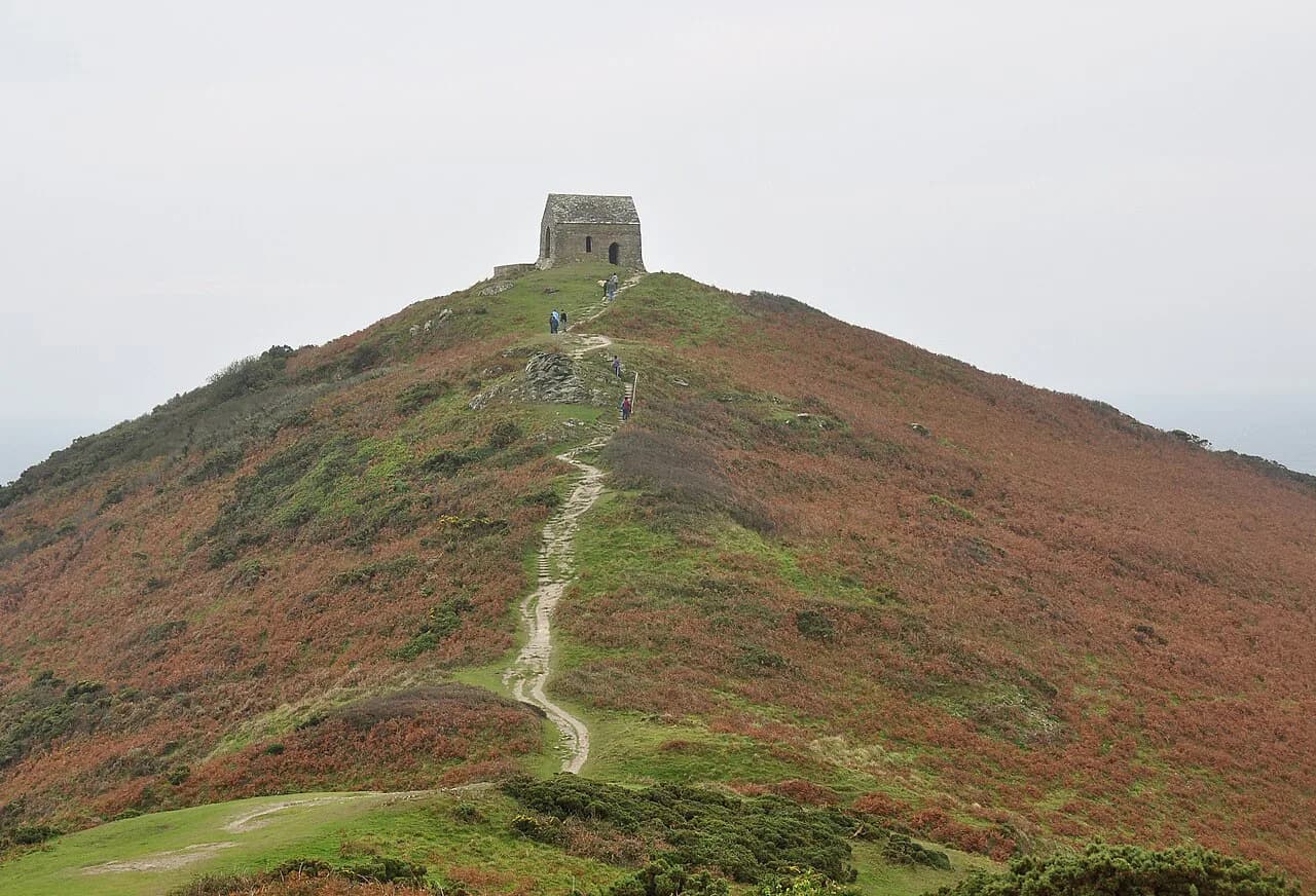
Inland, Cornwall offers historic routes such as the Saints Way and the Smugglers Way, which cut across the county on old pilgrimage and trade lines. These suit days when Atlantic wind makes the cliff tops unpleasant, or walkers who want hedged lanes, woodland and churchtowns instead of sea views.
Organized walking holidays in Cornwall package these sections as self-guided itineraries, with luggage moved between overnight stops while you carry only a day pack; the Cornwall programme is built from the coast path sections and the inland routes, with day grades set for each walk. That format suits walkers who want a multi-day line without planning each transfer; independent hikers can build the same route using scheduled buses and trains between the town pairs described below.
How the South West Coast Path Is Divided for Walkers in Cornwall
The Cornish coast path is normally walked in four broad chunks: Padstow to St Ives around the north coast, St Ives to Penzance past Land's End, Penzance to Falmouth across the Lizard, and Falmouth to Plymouth along the south coast. Each chunk has reliable towns at both ends, which is what makes them practical as standalone trips.
Two shorter formats are worth knowing. A leisure walk between St Ives and Marazion covers the gentler bay side of the peninsula, while the full county traverse suits walkers with a fortnight or more. Holiday operators also sell the Cornwall coast as a staged long-distance challenge, with daily mileages set for you.
Padstow to St Ives: North Coast Cliffs and Camel Estuary
This northern leg begins at Padstow on the Camel Estuary and works west past Trevose Head, Constantine Bay and the old slate and fishing harbours of Port Isaac and Boscastle before reaching Newquay and the dune-backed bays beyond. The final stretch drops into St Ives, where the railway station makes the return leg easy.
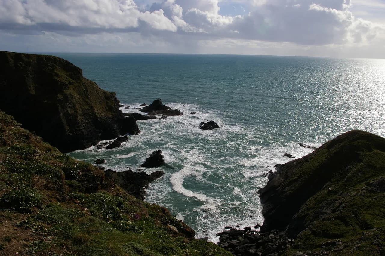
The walking is classic north-coast cliff path: short, steep descents into each cove followed by a climb back to the headland, with very little flat ground. Rock strata here are famously contorted, and the section around Boscastle and Tintagel is the most dramatic, though it is also the most exposed to Atlantic weather.
Padstow and Newquay are the natural overnight bases if you are splitting this leg, with bus services connecting the villages along the coast road. St Ives has the better rail links for a finish, with a branch line running to the main line at St Erth.
St Ives to Penzance: Land's End and the Tin Coast
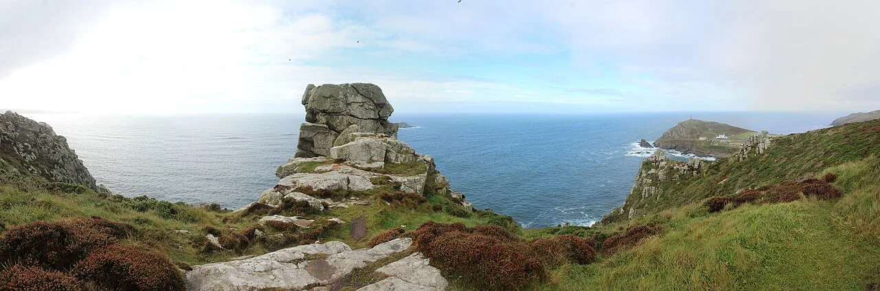
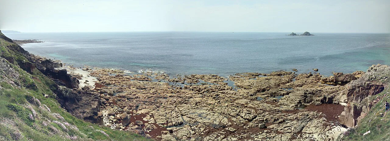
West of St Ives the path runs through the granite moorland of Zennor before reaching the old mining coast around St Just and the cliffs above Land's End. Beyond the headland it turns east to Sennen Cove, Porthcurno and the Logan Rock area, ending at Penzance and its harbour.
This is the wildest part of the Cornish coast path, with long stretches between villages and few bail-out points. The Zennor stretch in particular is a committing day of bare granite and sea cliff, and the section feels much harder in rain or low cloud than its distance suggests.
Land's End marks the halfway point of the county in walking terms, but the path does not end there; it continues around the coast. Penzance is the practical base for the western end, with buses running down to Sennen Cove and Porthcurno throughout the season.
Penzance to Falmouth: The Lizard and the Helford
From Penzance the path crosses the neck of the Lizard peninsula through Mullion and Lizard Point, then turns north along the Helford estuary to Falmouth. The Lizard is serpentine rock country: gentler, springier walking than the granite west, but with cliff edges that catch you out in mist.
The estuary crossings matter for planning. The Helford passage depends on a seasonal ferry, so check its operating pattern if you are linking days through this section, and be ready to reroute inland via Gweek if the crossing is not running.
Porthleven, Mullion and Cadgwith all make good bases, with the Cadgwith to Lizard Point circuit one of the classic short coastal days. Falmouth at the eastern end has strong rail and bus connections for the onward leg.
Falmouth to Plymouth: South Coast Creeks and Rame Head
The final Cornish section runs east from Falmouth through the sheltered ria creeks around St Austell Bay, then along the more open cliffs of Whitsand Bay to Plymouth. The walking is softer than the north coast, with wooded valleys and small quays replacing bare headlands for much of the way.
This leg is the easiest to break into half-days, with frequent buses and a railway line running inland behind the coast. St Austell Bay suits anyone who wants an easy, low-mileage first or last day on the trail.
Beyond Plymouth the coast path continues across the Tamar into Devon, which is outside Cornwall. Walkers finishing the Cornish section can leave the route at Plymouth and connect onward by rail.
Short and Leisure Options: St Ives to Marazion
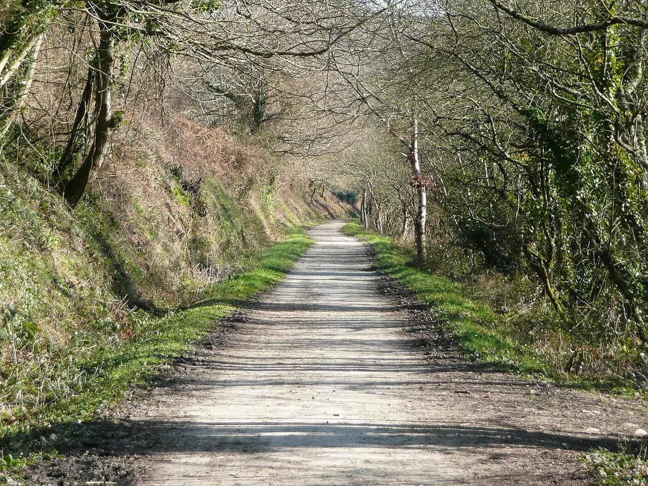
The bay between St Ives and Marazion gives you the gentlest walking on the Cornish coast: a largely level run along the old railway line, with St Michael's Mount visible across the water for much of the way. It suits families, walkers with limited time, and anyone wanting a rest day between harder cliff sections. Packaged by Encounter Walking as a stand-alone leisure walk, this bay stretch sits at the easy end of the company's grading scale.
The full St Ives to Marazion bay walk is commonly offered as a short break in its own right, stitched to nearby cliff days for a three- or four-day trip. Penzance and St Ives both have rail stations, so you can walk the line one way and take the train back.
Inland Routes: the Saints Way and the Smugglers Way
The Saints Way crosses Cornwall from Padstow on the north coast to Falmouth on the south, following an old route linked to Irish pilgrims heading for the continent. It is a multi-day walk through lanes, fields and woodland, with churchtowns and small valleys along the way.
The Smugglers Way runs on the south coast side of the county, threading historic smuggling country between the south coast towns. Both routes work as bad-weather alternatives when Atlantic wind makes cliff tops uncomfortable, and both can be walked as linear days using local buses at either end.
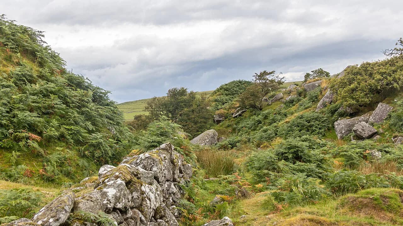
For more open, exposed terrain inland, the granite tors and moorland tracks of Bodmin Moor offer a very different day out. Short, cairned routes lead to the main summits, with heather, boulders and bronze-age remains along the way.
Day Walks Around Sennen Cove and Porthcurno
The far west around Sennen and Porthcurno concentrates some of the best short coastal days in Cornwall. A Sennen Cove to Porthcurno circuit links the wide sands and surf beach at Sennen with the cliff path through Porthgwarra and the beaches at Porthcurno, with the Minack theatre perched above the water.
The route is short but not flat, with short, sharp climbs between coves and headlands. Plan for a cliff-top morning followed by a return along the inland footpaths, or take a local bus back if the weather closes in.
The coast path continues past Land's End just to the north. That headland section is exposed and can be busy with day visitors, so walking it early or late in the day makes for a quieter experience.
Day Walks Around Porthleven, Lizard Point and Cadgwith
The Lizard peninsula offers the best of Cornwall's gentler coastal walking. The Lizard Point to Cadgwith circuit, alongside longer options such as Porthleven out to Lizard Point, takes in serpentine cliffs, small coves and the most southerly point in mainland Britain.
Cadgwith is a working fishing cove with a shingle beach and a tight cluster of thatched cottages, and it makes a convenient halfway point for the Lizard circuit. The path between it and Lizard Point runs along low cliffs, but the edge is unguarded, so keep children and dogs close.
Elsewhere in the county, via ferrata Cornwall near Goodygrane Activity Centre offers a different sort of day out for walkers who want to try scrambling on fixed cables and ladders. Route grades and access details sit with the operator.
Getting to Trailheads by Rail, Bus and Car
Cornwall's rail network is the backbone of car-free walking. The main line runs from Plymouth through Bodmin Parkway, St Austell, Truro and Redruth to Penzance, with branch lines to St Ives, Falmouth and Newquay. Most coast path towns sit within a short bus ride of a station.
Local buses link the fishing villages along the north and south coasts, and services between Padstow, Newquay and St Ives run through the season. Timetables vary between winter and summer, so confirm times with the bus company before planning a one-way day.
Driving gives more flexibility for the inland routes and the western coves, but parking in St Ives, Padstow and Falmouth is tight in summer. Many walkers park at a village car park and use a bus to return from the far end.
Where to Base Yourself for Different Sections
St Ives, Penzance and Padstow are the three most useful bases for the coast path. St Ives works for the north coast and the bay to Marazion, Penzance for Land's End and the western coves, and Padstow for the north coast and the Camel Estuary.
Falmouth, Porthleven and Cadgwith suit the Lizard and south coast sections. Falmouth is the best connected, with rail and bus links to the rest of the county, while Cadgwith and Porthleven are quieter and better for a short break focused on the peninsula.
Truro is a useful inland hub for inland routes, with rail and bus links in all directions. Walkers combining coast and inland days often spend a night in Truro to shorten the transfers between them.
Distance, Ascent and Time: How to Read the Grading
Read coast path days by total ascent, not distance. A ten-kilometre (6.2-mile) cliff day can involve several hundred metres (roughly a thousand feet) of climbing as the path drops into each cove and climbs back to the headland, which is why the same distance feels far harder here than on inland tracks.
A self-guided walking holiday operator will usually grade each day and set daily distances, so you can match the itinerary to your fitness; Encounter Walking's grading and how-walks-work pages explain what each level demands. Use their day grades and route notes as a template, even if you walk independently.
Plan a shorter day than you would at home for the first day of a Cornish trip, and build in a recovery day if you are walking the full county. Tired legs on steep, uneven cliff steps are the main cause of slips.
When to Go and What the Coast Path Throws at You
Late spring and early autumn give the most comfortable walking: drier ground, fewer crowds in the coastal villages, and good daylight for long days. High summer brings the best weather but also the busiest car parks and the hottest exposed sections.
Winter walking is possible and often quiet, but the coast path turns muddy and slippery, some ferry crossings and seasonal cafes are closed, and short daylight limits how far you can go. The main hazards year-round are cliff edges on unstable ground, fast-moving tides on the beaches below the path, and sudden squalls off the Atlantic.
Exposed headlands take wind and rain even when the inland forecast looks fine, so carry waterproofs and a warm layer on every cliff day. On hot days, plan to be off the open cliff sections by mid-afternoon to avoid heat and afternoon showers.
Plan Your Cornish Walking Trip
Cornwall rewards a plan built around town pairs: walk one coast path section, then use rail or bus to return to your base. St Ives, Penzance, Padstow and Falmouth are the strongest bases for this style of trip.
Choose your route by the weather you expect and the walking you enjoy. Exposed cliff days for ocean views and drama, inland routes for hedged lanes and quieter miles, and short sections when you want an easy day with a good pub at the end.
Explore more Cornwall hiking guides
Frequently Asked Questions
What are the best coastal walks in Cornwall?
The strongest coastal days on the Cornish coast path are the north coast around Trevose Head and Boscastle, the Zennor cliffs west of St Ives, the western coves around Sennen and Porthcurno, and the Lizard peninsula around Cadgwith. Each offers a mix of steep coves, exposed headlands and village stops.
What is the Cornish coast path?
The Cornish coast path is the Cornish section of the South West Coast Path, running around the county from near the Devon border on the north coast to the Tamar at Plymouth. It is a waymarked long-distance trail that walkers break into sections between towns.
How many days does it take to walk the Cornwall section of the South West Coast Path?
The route is typically walked in four broad sections, each taking several days. Most walkers allow around two weeks for the full Cornish stretch, or pick one or two sections for a shorter trip. A walking holiday operator sets its own staged challenge itinerary if you want a fixed schedule.
Are there good short walks in Cornwall?
The St Ives to Marazion bay walk is the gentlest short option, with a flat, level line along the old railway. The Lizard circuits around Cadgwith and the coast path near Porthcurno also make good half-days.
Can you do walks in Cornwall without a car?
Yes. The main rail line and branch lines to St Ives, Falmouth and Newquay connect with local buses serving the coast path villages. Timetables vary by season, so check current details before planning a one-way day.
Sources
Trail notes for your next trip
Optional updates when we add or revise hiking guides.
You might also like
Continue reading
More guides you'll find useful