South West Coast Path Cornwall: Choose Your Section
Plan the South West Coast Path in Cornwall: the best sections, stage lengths, season, terrain and how to build a Padstow to Penzance or short-break itinerary.
On this page
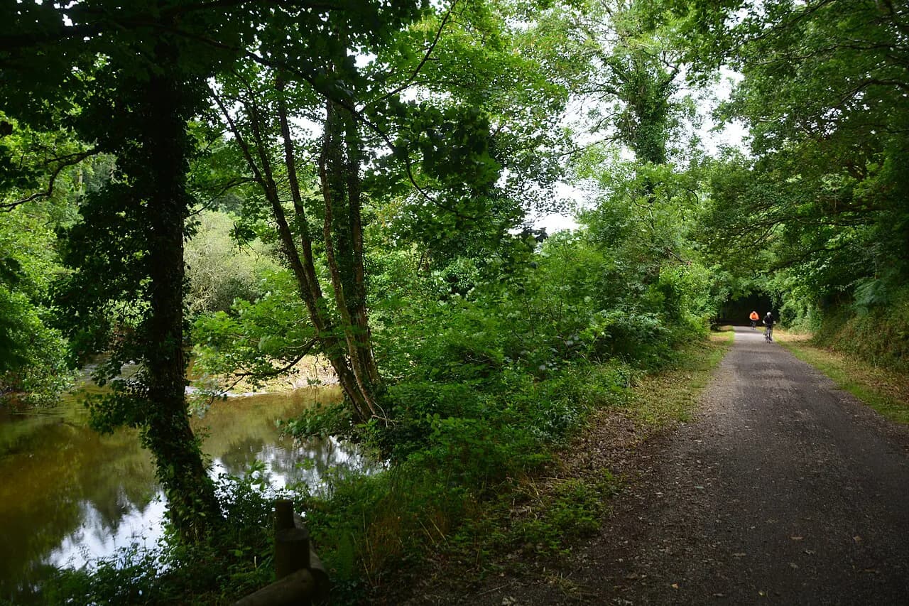
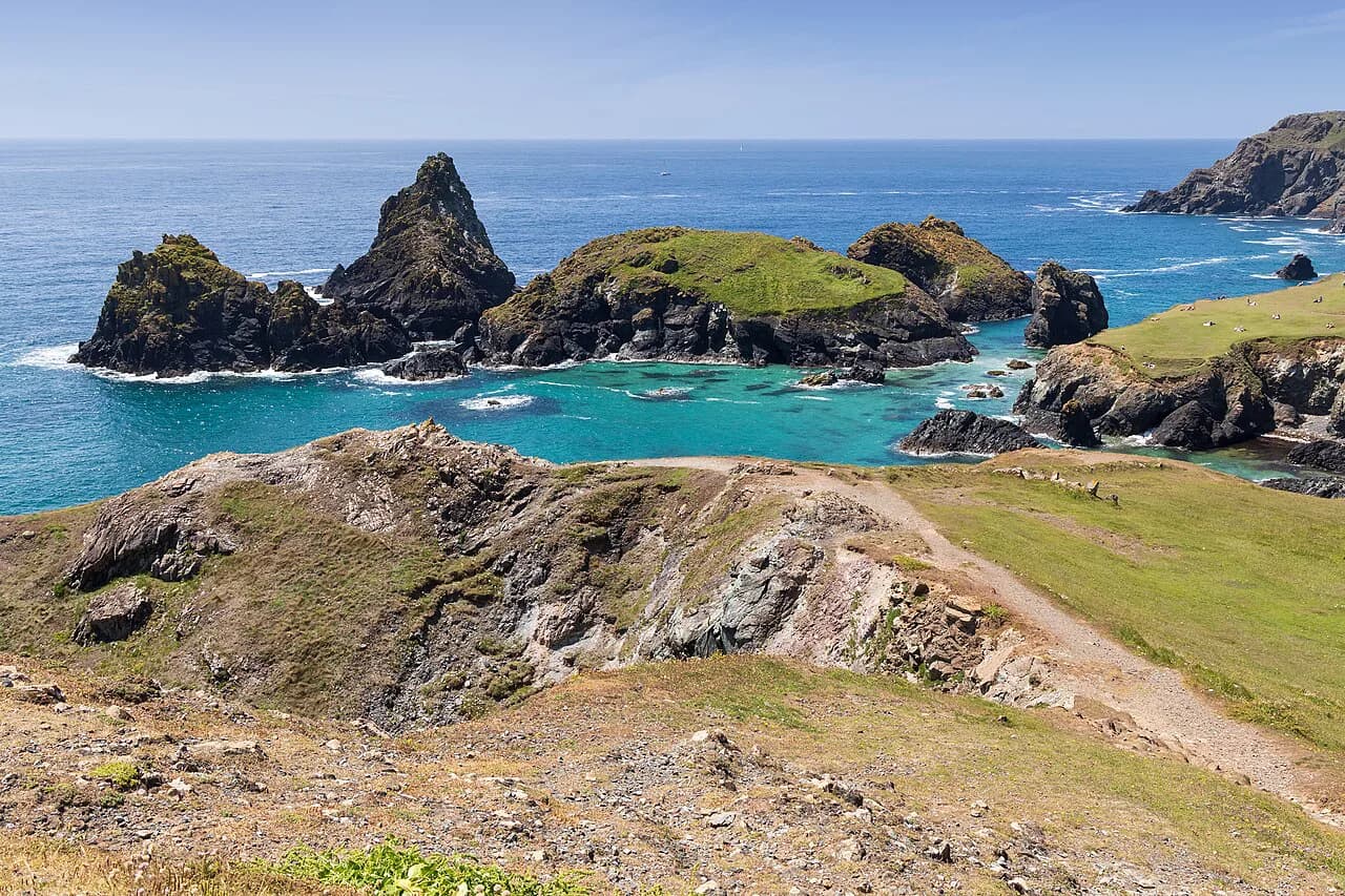
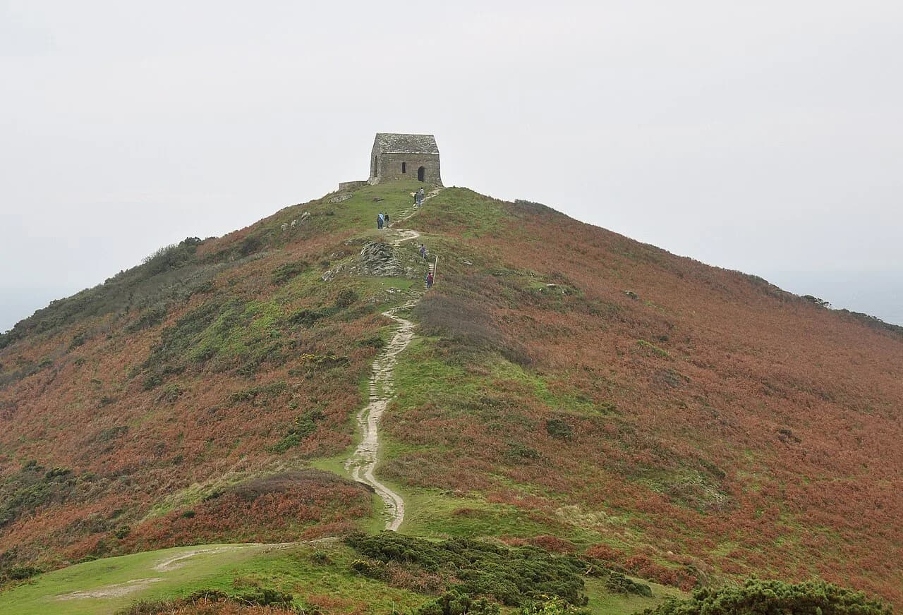
Cornwall's stretch of the South West Coast Path suits hikers who want big sea views, mining heritage and village-to-village walking without navigation puzzles. The trail hugs the coast closely because it began as a coastguard patrol route, so you spend the day above coves and headlands rather than on inland lanes.
You can treat it as a multi-day long-distance walk or as a series of day hikes from one base. The main decision is which coast: the north coast for cliffs and surf towns, west Cornwall for Land's End and St Michael's Mount, or the south coast for the Lizard, Helford and Falmouth's wooded creeks.
Cornwall's stretch of the South West Coast Path
The South West Coast Path is England's longest waymarked long-distance footpath and a National Trail, running 1,014 km (630 miles) from Minehead in Somerset to Poole in Dorset. Nearly half of it follows Cornwall's coastline of roughly 300 miles, so the Cornish portion is a serious undertaking in its own right rather than a weekend add-on.
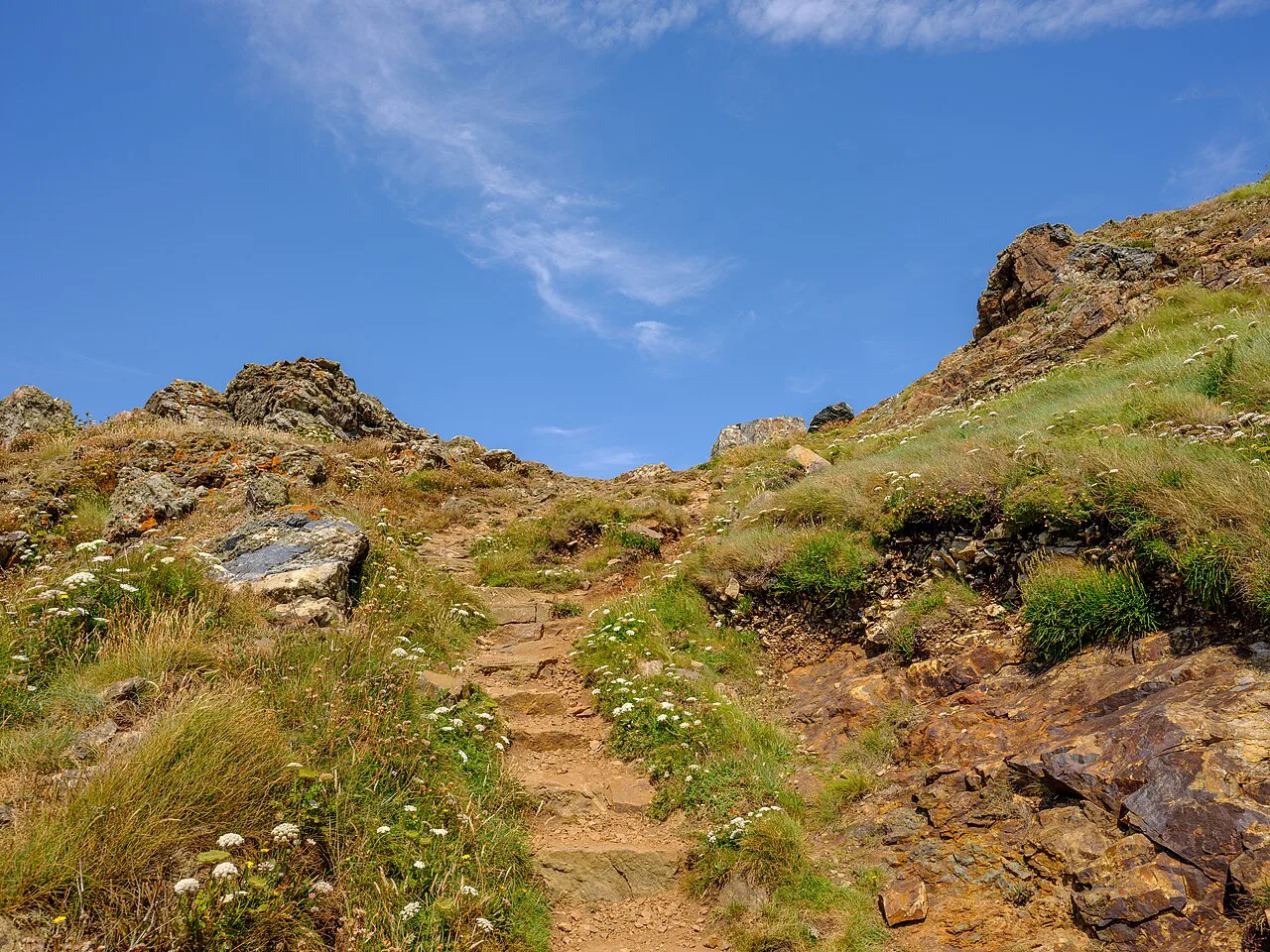
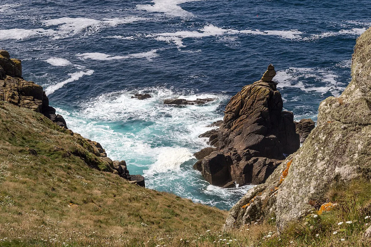
The walking is mostly clifftop path with repeated climbs and descents into coves, river mouths and harbours. Expect short, sharp ascents rather than long mountain climbs, plus a mix of turf, rock and beach sections where the path drops to sand.
The Cornish section at a glance
Cornwall's coast path is divided into 26 stages, each between roughly six and fourteen miles, which gives you a ready-made set of day walks. Some hikers complete the entire route in about 26 days, but most people pick a handful of stages and link them with buses or a car.
Stage ends cluster around towns and villages with lodging and transport, which is why itineraries tend to run between named places rather than fixed daily markers. Plan the day's finish at a settlement first and let the distance follow.
Padstow to Penzance: the classic west Cornwall run
The 160 km (100 mile) stretch from Padstow to Penzance is the section most self-guided operators package, and it strings together the Camel Estuary, Newquay, the mining coast, St Ives, Land's End and St Michael's Mount. A moderate 8-day version averages 17-22 km (10.6-13.7 miles) per day, with one short day of 10 km (6.2 miles) from Hayle to St Ives.
If you have one week, start at Padstow and finish at St Ives, which keeps the most varied terrain and the strongest run of villages for overnight stops. Extending to Penzance adds the remote Pendeen and Land's End sections, where progress slows considerably.
North coast: Padstow to Newquay and the Camel Estuary
From Padstow the path follows the Camel Estuary past sandy beaches before turning west through Porthcothan Bay and the Iron Age remains at Trevelgue Head to Newquay. Starting at Padstow Harbour, the first mile to Gun Point is relatively easy, then the route turns rugged with beaches and smugglers' caves on the way to Harlyn Bay.
This is a good opening stage for a first visit: it has regular village stops, plenty of accommodation and simple escape options by bus if weather turns. The trade-off is popularity, so book Padstow and Newquay beds well ahead in summer.
St Agnes Heritage Coast and the mining landscape
Between Perranporth and Portreath the path crosses a rugged stretch famous for mining heritage, with engine houses perched on the cliffs above heather and wild coast. The landscape is part of the Cornwall and West Devon Mining Landscape World Heritage Site, and ruined tin mines continue to dot the route west toward Hayle.
Walking here is steady rather than extreme, but the path repeatedly drops into steep-sided valleys, so allow more time than the map distance suggests. Sections average 13-20 km (8-12.4 miles) and suit hikers comfortable with a full day out.
St Ives to Pendeen and Cape Cornwall to Land's End
West of St Ives the character changes: the path becomes remote, rocky and often boggy, with steep cliffs and deep coves that demand slow, steady progress across about 14 miles. This is one of the toughest Cornish stretches, and it is the section where wet ground and poor visibility most affect your day.
Beyond Pendeen the route passes Pendeen Watch lighthouse, Cape Cornwall and the old mining hamlets before reaching Land's End and continuing to Porthcurno and the Minack open-air theatre. Carry water and food for this stretch: settlement gaps are long and the exposed clifftop offers little shelter when the weather turns.
South coast: the Lizard Peninsula, Helford and Falmouth
On the south coast the path rounds the Lizard Peninsula, Britain's southernmost point, before tracing the Helford River and the edge of Falmouth's Carrick Roads. The terrain softens into wooded valleys, estuaries and quiet creeks, with abundant birdlife around the Helford.
These stages suit hikers who prefer variety and gentler grades over big climbs, though the estuary crossings depend on seasonal ferries, which you arrange locally around walking times. Falmouth and Helston make practical bases for a few days here.
The Roseland Peninsula, Fowey and Rame Head into Plymouth
The path continues around the Roseland Peninsula, with idyllic villages and quiet beaches, then along the Fowey estuary, whose riverside trails and literary heritage make it a natural short-break destination. The final Cornish stretch rounds Rame Head above Plymouth Sound before crossing into Devon.
This is gentler walking overall, well suited to mixed-ability groups and walkers who want a few flexible days. Use Fowey or St Austell as a base and pick stages according to the day's weather rather than committing to a fixed linear plan.
Easiest and most scenic short walks
For a short, low-commitment taste of the path, the two-mile Marazion to Penzance walk follows mostly level ground along the seawall with views across Mount's Bay to St Michael's Mount, and direct buses connect the two towns. Stepper Point from Padstow is a 1.5-mile walk through wildlife-rich farmland to the Day Mark lookout tower.
Accessible options exist too: Carnewas at Bedruthan overlooks the sea stacks at Bedruthan Steps, and Godrevy Head has views over St Ives Bay and a chance to spot seals below. These suit families and pushchairs, and they still deliver the scenery that draws people to the coast path.
The hardest stretches
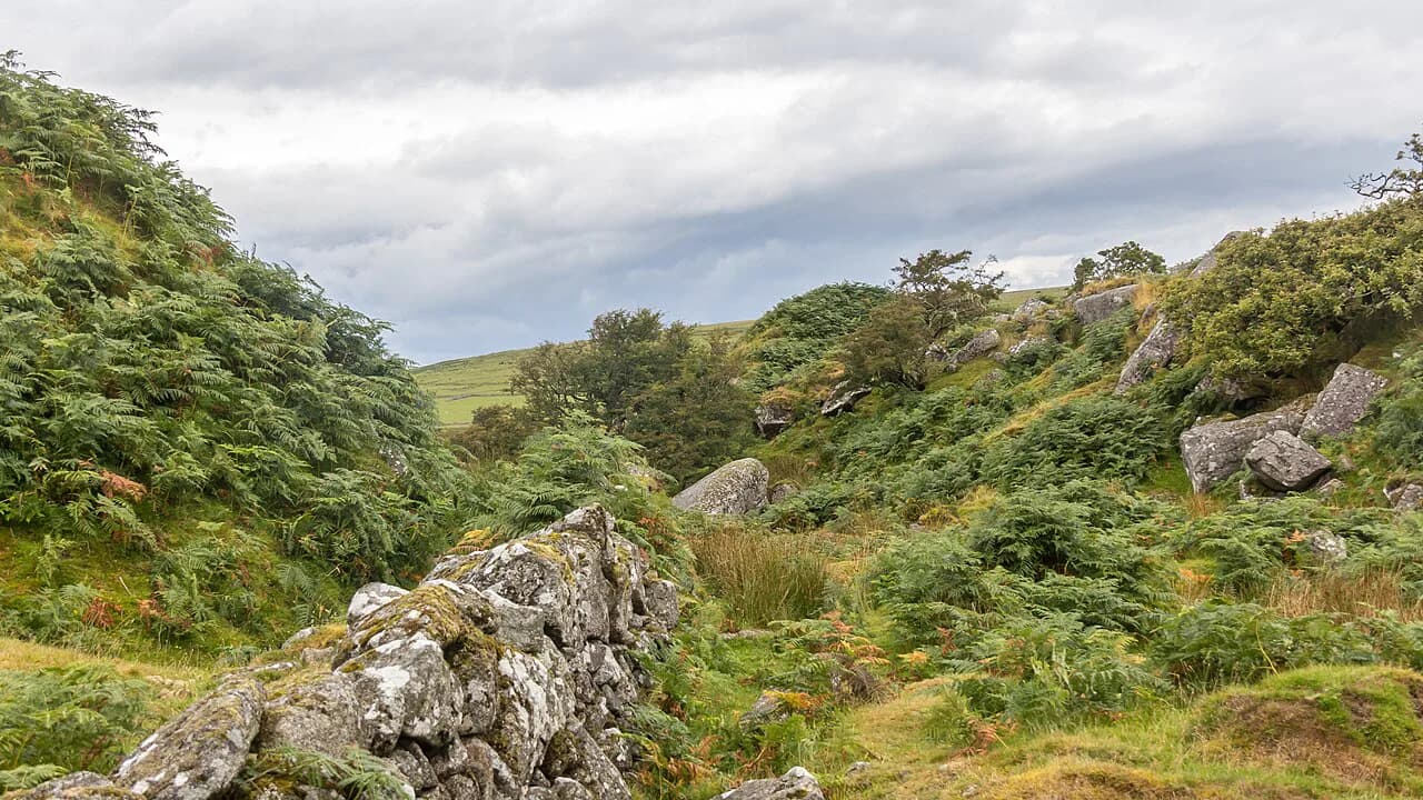
The 15-mile crossing from Hartland Quay to Bude, where the path enters Cornwall from Devon, is considered the most demanding stretch of the entire South West Coast Path, with relentless ascents and descents. St Ives to Pendeen is close behind, and both require an early start and realistic expectations about the pace you can keep. If you want another exposed clifftop challenge after this, consider hiking in Dartmoor.
Treat these days as the centerpiece of a trip rather than a filler stage, and plan a shorter day on either side. If the forecast is poor, swap in a gentler inland day rather than forcing the clifftop.
Distance, ascent and time: matching daily miles to fitness
One operator's grading gives the clearest planning bands: gentle days of 12-13 km (7.5-8 miles) taking 3.5-5 hours, moderate days of 18-19.5 km (9-11 miles) in 4-7 hours, and challenging days of 23-31.5 km (15-20 miles) in 5-8 hours. These are commercial grading categories, not a trail standard, but they match the way most people pace this path.
The ascent on each day comes in small, repeated packages rather than one long climb, so the climb totals look modest but the cumulative effort is high. Build in one easier day for every three hard ones, and avoid planning your longest stage on arrival day.
When to go
Hikers are recommended to walk between the beginning of May and the end of October, while many accommodation providers and luggage-transfer services operate from the start of March to the end of October. Spring and early summer give long daylight and wildflowers, September and October bring golden gorse and quieter paths.
Winter walking is possible but short daylight and muddy, wet paths make long stages a poor choice. Whatever the month, carry waterproofs and boots with real grip, because the Cornish path is frequently wet underfoot.
Getting to trailheads by bus, train and car
Most Cornish stage ends are settlements served by local buses, and the National Trails route map lets you filter accommodation, transport and water points so you can plan car-free links. The towns on the main rail line, including Penzance, St Ives, Newquay and Plymouth, work best as start and finish points.
A car is useful for short-break day walks inland, but coastal parking in Padstow, St Ives and around Land's End fills early in summer. Choose lodging within walking distance of the path where you can, since it saves both a daily drive and a bus connection.
Where to stay: base towns for north and south coast stages
For the north coast, Padstow, Newquay, Perranporth and St Ives give you access to the best stages, with St Agnes and Portreath useful mid-route stops. In west Cornwall, Penzance, St Just and Porthcurno shorten the long Pendeen and Land's End days.
For the south coast, Falmouth, Helston and Fowey make the Lizard, Helford and Roseland stages manageable as day trips. Book early for summer weekends and school holidays, when coastal towns fill with both walkers and beach visitors.
Coast path hazards
Clifftop exposure is the main risk: the path runs close to unprotected edges, and wet turf, mud and rock make slips more likely than on mountain trails. Keep back from the edge in high wind and after rain, and give yourself more time on the boggy Pendeen stretch.
Some sections use beaches and estuary shores where tides matter, which is why the trail guidance includes tide times and beach safety information. Check tide times before any stage that crosses sand or a river mouth, and avoid setting out into deteriorating weather.
Wildlife and the Cornwall Marine and Coastal Code
Seals, seabirds, dolphins and even whales appear along this coast, and the biggest disturbance comes from people getting too close. Keep a distance from seals hauled out in coves, never feed birds or animals, and give nesting cliffs a wide berth in spring.
Foraging and flower picking should be sparing, since overharvesting damages the very plant communities that make the clifftops distinctive. Stay on the path through sensitive ground and take photographs rather than souvenirs.
Plan Your Trip
Build your Cornish trip around two or three bases: Padstow or Newquay for the north coast, St Ives or Penzance for the west, and Falmouth or Fowey for the south. Pick stages by character and daily distance rather than trying to tick off the whole 26-stage section in one trip.
Pair an easier south-coast walking day with a visit to the Roseland Peninsula's quiet beaches and idyllic villages. It is the kind of gentle stage that works well as a rest day between longer cliff walks.
Frequently Asked Questions
How long is the South West Coast Path in Cornwall?
Nearly half of the 1,014 km (630 mile) National Trail runs along Cornwall's roughly 300 mile coastline. The Cornish section is divided into 26 stages of about six to fourteen miles each, so you can walk it as a long-distance route or as a series of day hikes.
How many days does it take to walk the Cornwall section?
Devoted hikers complete the full route in around 26 days, but most people choose a shorter run. A moderate 8-day itinerary covering Padstow to Penzance averages 17-22 km (10.6-13.7 miles) per day, and a gentle week around Newquay, St Agnes and St Ives keeps daily distances near 12-16 km (7.5-10 miles).
What is the most scenic part of the Cornwall Coast Path?
The west Cornwall stretch around St Ives, Pendeen and Land's End delivers the most dramatic scenery, with remote cliffs, old mine buildings and Atlantic views. The north coast between Padstow and Newquay is the easiest introduction, while the Lizard and Helford offer gentler, wooded estuary walking.
Which sections of the South West Coast Path in Cornwall are easiest?
The Marazion to Penzance seawall walk is mostly level with direct buses between the towns, and Stepper Point from Padstow is a short 1.5-mile route to a lookout tower. Carnewas at Bedruthan and Godrevy Head are accessible options with big sea views.
What is the hardest stretch of the coast path in Cornwall?
The 15-mile crossing from Hartland Quay to Bude, where the path enters Cornwall, is considered the most demanding on the whole South West Coast Path, with relentless climbs and descents. St Ives to Pendeen is also tough, with rocky, often boggy ground and a remote feel.
When is the best time of year to walk the Cornish coast path?
National Trails recommends walking between early May and the end of October, and many accommodation and luggage-transfer services run from March to October. Spring brings wildflowers and long daylight, while September and October are quieter with golden gorse and heather.
Can you walk the South West Coast Path without a car?
Yes. Most stage ends are settlements with local bus links, and the National Trails route map lets you filter accommodation, transport and water points. Basing yourself in Penzance, St Ives, Newquay or Falmouth gives you rail access as well as shorter bus connections to trailheads.
Sources
Trail notes for your next trip
Optional updates when we add or revise hiking guides.
You might also like
Continue reading
More guides you'll find useful