Cornwall Coastal Walks: Which South West Coast Path Section
Plan Cornwall coastal walks by distance, difficulty and trailhead access, from St Ives to Penzance and Padstow to St Ives to Cape Cornwall's mine ruins.
On this page
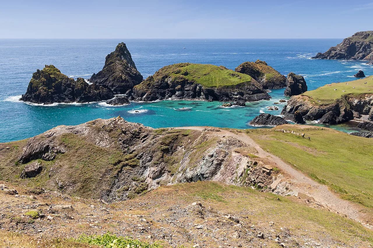
Cornwall's coastline delivers cliff-top walking above the Atlantic, working fishing harbors, and the stone stacks and engine houses of old tin mines, all strung along one continuous path. The county suits hikers who want a linear day section with a village at each end and a bus or train back, rather than a loop from a single trailhead. Fitness matters because the path climbs and drops constantly along every headland.
Decide first whether you want a multi-day leg or a single afternoon out. The St Ives to Penzance and Padstow to St Ives sections are long stages best split over several days, while Cape Cornwall and the Lizard give you a satisfying half-day without logistics. Whichever you pick, the walks in Cornwall reward planning around buses, tides and daylight rather than around gear.
How the South West Coast Path works in Cornwall
The South West Coast Path is a single long route that runs more than 630 miles (about 1,010 km) around the southwestern peninsula, and Cornwall holds some of its most dramatic miles. Hikers rarely walk it end to end; they pick a stretch between two villages and arrange transport back to the start. Treating the path as a series of day sections is what makes it manageable.
The Cornwall stretch is continuous, so any section you walk connects to the next. That means you can string days together into a multi-day itinerary or dip in for a single leg, and the terrain stays consistent: short sharp climbs onto each headland, a clifftop traverse, then a descent into the next cove. Read the South West Coast Path in Cornwall overview if you want the full county picture before choosing a stage.
St Ives to Penzance: distance, difficulty and terrain
The coast path leg from St Ives to Penzance covers about 40 miles, graded moderate, and passes rugged cliffs, golden beaches and small fishing villages. Give it several days if you walk the whole thing; the frequent climbs over every headland make the mileage harder than the distance alone suggests. The reward is a route that keeps the Atlantic on your right and a string of harbors to break the day.
The middle of this section is wilder than either end, with long stretches where the path hugs an exposed clifftop and the nearest village is a climb away. The Zennor stretch in particular trades easy access for unbroken coastal scenery. If you want a single day out of it, the St Ives to Zennor walk takes in that exposed middle before the path continues west.
Padstow to St Ives: the north coast leg
Padstow to St Ives runs along the north Cornish coast for roughly 61 miles and is graded easy to moderate, so it suits hikers who want coastal drama without the relentless severity of the far west. The route links the food town of Padstow with the artistic hub of St Ives, with dramatic cliffs and long beaches between. Plan it as a multi-day walk rather than a single push.
This leg is a good introduction to coast-path walking because the climbs are gentler and the villages come more regularly. It also works as a taste of the full route if you only have a few days. Where you start and finish depends on bus connections, so line up your return transport before you commit to a stage.
Cape Cornwall: mines, mills and a fifth-century oratory
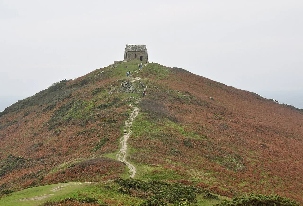
The Cape Cornwall walk is a shorter outing, about 5.2 miles (8.3 km), through a tumbledown landscape of old mines and mills alongside ancient forts, barrows and a fifth-century oratory. Starting from the St Just area, it packs industrial archaeology and prehistoric remains into a compact circuit around the cape. Think of it as a half-day that gives you the far-west scenery without a long carry.
Yes, you can connect St Just with Cape Cornwall on foot, and the walk makes a natural short day. The ground is uneven in places where the old workings sit close to the path, so allow more time than the distance implies. Carry water, because the exposed sections around the cape offer little shade.
Shorter day walks: Land's End to the Lizard
If you want a half-day, the coast between Sennen Cove and Porthcurno, and the stretch from Porthleven to Lizard Point, both make good circular options. Lizard Point to Cadgwith is another short coastal outing that pairs a famous headland with a fishing cove. These are the walks to choose when you have a car or a bus timetable to work around.
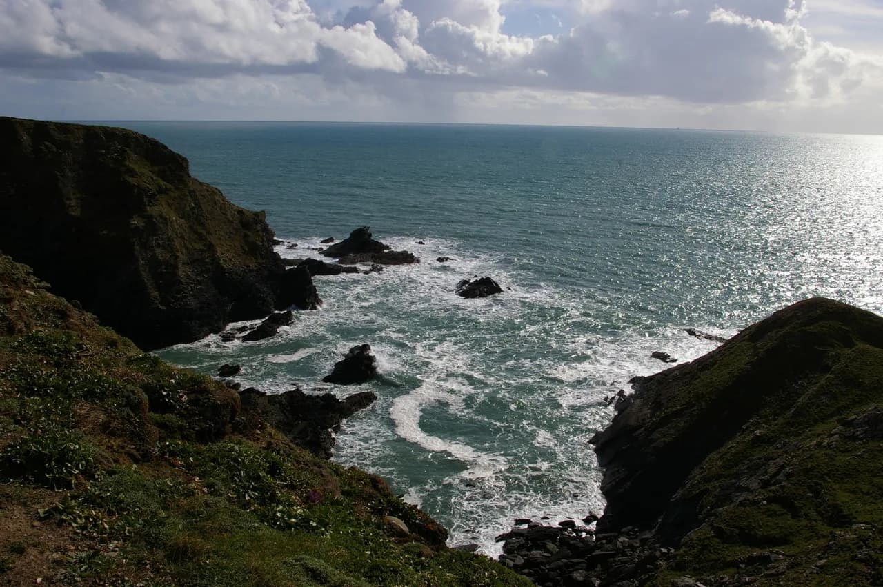
Shorter does not mean flat: every cove involves a descent and a climb, and the clifftop sections are exposed to wind and spray. Check the weather before committing to a headland walk, since these stretches offer little shelter. For inland contrast on a wet day, Bodmin Moor walks trade coastline for open moorland.
Getting to trailheads: trains and local buses
Great Western Railway runs direct trains from London Paddington to Penzance in about five hours, or overnight on the Night Riviera sleeper in roughly eight, which puts the far-west trailheads within reach without a car. From Penzance, local trains and buses connect to St Ives and the surrounding villages. Arriving by rail also keeps you flexible when a cliff section takes longer than expected.
The Land's End Coaster is an open-top bus that runs along the coast, connecting St Ives, Penzance and Land's End with the cliff-top views built into the journey. That makes linear walk planning realistic: walk one way and ride back. Confirm the seasonal timetable before you set out, since coastal buses often run reduced schedules outside peak season.
Base towns for coast-path day sections
Penzance is the handiest base for the far west: it has the main rail terminus, ferries toward the Isles of Scilly, and bus links to Land's End, St Just and the Lizard. St Ives suits the middle of the north and west coast, with its own station on the branch line. Padstow anchors the north-coast leg but sits further from the railway, so plan your arrival around bus connections.
If you want to split the St Ives to Penzance section, the villages in between give you natural stopping points, though you will rely on the local bus to reach them. The larger towns make better bases because they have more accommodation and shops, while the small coves are quieter but harder to reach without a car.
When to walk: late spring to early fall
Late spring through early fall, May to September, gives the mildest weather and the lowest chance of rain, with wildflowers along many trails. July and August bring the warmest days but also the busiest period on the popular paths. Target late spring or early fall for quieter trails and equally good views.
Winter brings crisp landscapes and solitude but short days and long nights, and some routes close for the season. If you walk outside summer, plan shorter days and carry a head torch. Shoulder seasons are the sweet spot for long coastal sections.
Tides and coast-path hazards
St Michael's Mount is the classic tidal decision: the crossing depends on the tide, so any walk that includes it has to be timed around the causeway rather than treated as a standard path. Elsewhere, the main hazards are clifftop exposure and sudden weather changes, so carry a waterproof and keep back from the edges in wind. On coastal stretches, check the tide table as part of route planning rather than as an afterthought.
The path along the cliffs is unfenced in places, and the rock can be slippery after rain. Wear sturdy footwear with good grip, and if a section feels too exposed, take the inland alternative where one exists. On any coastal route, turn back early rather than push on into fading light.
Facilities and water on the route
Cornwall's coast path passes through villages and harbors where you can refill water and buy food, but the wilder headland stretches can run for hours without a shop. Carry more water than you would for an inland walk of the same length, especially in summer. Pubs and cafés in the coastal towns are the reliable stopping points.
Accommodation on the multi-day legs ranges from coastal hotels to small guesthouses in the villages, and booking ahead matters in peak season. Self-guided operators handle luggage transfer and route notes, which lets you walk linear sections with just a day pack. If you want that format, compare what is included before booking.
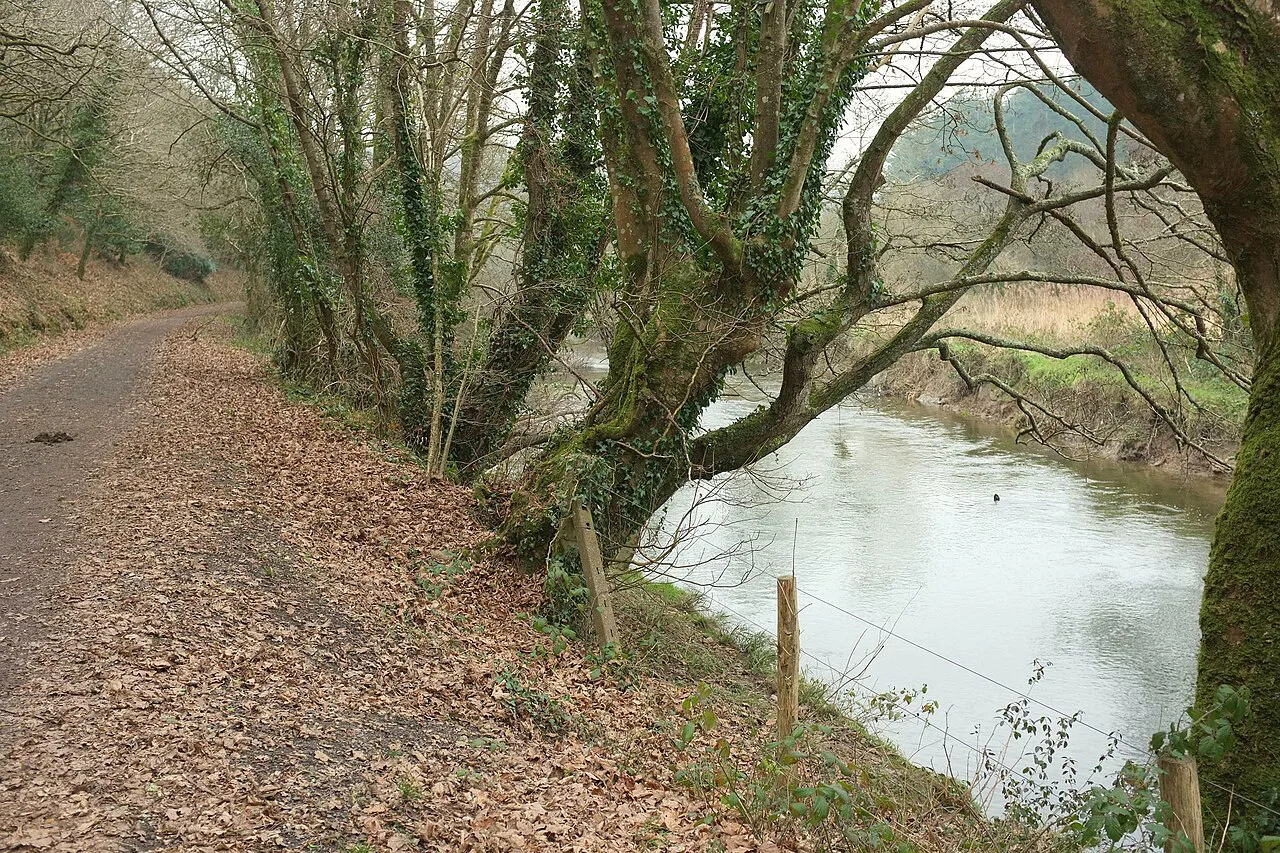
Guided and self-guided options
Self-guided trips give you a designed route, booked accommodation and often luggage transfer, with the walking done at your own pace. Multi-day formats such as the 24-mile Highlights of Cornwall in Comfort and the 58-mile Cornwall In Style are self-guided itineraries rather than single day walks, pitched at easy-to-moderate and moderate levels respectively. They suit hikers who want logistics handled without a group.
A fully guided trip adds a leader and a fixed itinerary, which helps if you are new to coastal walking or want company. For fit hikers who enjoy planning, independent day sections with bus returns are cheaper and more flexible. Decide how much logistics you want to handle before you compare formats.
What to pack for Cornish coastal walking
Sturdy, comfortable hiking shoes matter because coastal terrain is uneven, and waterproof layers are essential given unpredictable weather. Bring a tide timetable and safety gear for routes that cross tidal ground like St Michael's Mount. Pack snacks and water for the remote stretches between villages.
Layers beat a single heavy jacket in Cornwall, where a sunny clifftop can turn windy within an hour. Add a sun hat and sun cream for the open sections, and a head torch for shoulder-season days. Keep your map or phone in a waterproof case near the coast.
A nearby area outside Cornwall
If you want to extend your trip beyond the Cornish coast, the moorland and tors of Dartmoor across the county border in Devon offer a very different, inland style of walking, so compare options for hiking in Dartmoor if you fancy swapping cliffs for tors. Treat it as a separate outing and check your transport links before committing. For something coastal but rock-bound instead, via ferrata Cornwall offers a guided adventure on the cliffs.
Plan Your Visit
Choose your Cornwall coastal walk around the time you have and how you will get back: the St Ives to Penzance leg for a multi-day west-coast challenge, Padstow to St Ives for gentler north-coast miles, and Cape Cornwall or the Lizard for a compact half-day. Match the section to your fitness and the season, and let buses and trains do the return logistics.
Fix your dates between late spring and early fall, check the tide before any crossing, and pack for wind and rain. Confirm bus schedules and any route notices with the South West Coast Path Association before you travel, then walk the coast at your own pace.
Frequently Asked Questions
How long is the Cornish coastline?
Cornwall forms the southwestern tip of England, and the South West Coast Path that follows its shores runs more than 630 miles around the wider peninsula. The Cornish section alone is a large share of that, but the path is best walked in day sections between villages rather than as one continuous push. For planning, pick a leg such as St Ives to Penzance or Padstow to St Ives and arrange a bus or train back to your start.
Can you walk from St Just to Cape Cornwall?
Yes, St Just connects to Cape Cornwall on foot, and the circuit around the cape is a compact walk of about 5.2 miles (8.3 km) through old mines, mills, ancient forts and a fifth-century oratory. The ground is uneven near the old workings, so allow more time than the distance suggests and carry water for the exposed sections.
What is the best part of the South West Coast Path in Cornwall?
It depends on what you want from the day. The St Ives to Penzance leg is graded moderate and delivers rugged cliffs and fishing villages, while Padstow to St Ives is easier to moderate and suits hikers new to coastal walking. Cape Cornwall packs industrial and prehistoric remains into a short half-day, and the Lizard stretches offer compact coastal outings with famous headlands.
Do you need tide times to walk to St Michael's Mount?
Yes, the crossing to St Michael's Mount depends on the tide, so any walk that includes it has to be timed around the causeway rather than treated as a standard path. Check the tide table as part of your route planning, not as an afterthought on the day.
Can you reach Cornwall coast path trailheads by train and bus?
Great Western Railway runs direct trains from London Paddington to Penzance, and from there local trains and buses connect to St Ives and surrounding villages. The Land's End Coaster bus runs along the coast linking St Ives, Penzance and Land's End, which makes linear walks realistic. Check the seasonal bus timetable before you travel, since coastal services often run reduced schedules outside peak season.
When is the best time to walk Cornwall's coast path?
Late spring through early fall, May to September, gives the mildest weather and the lowest chance of rain, with wildflowers along many trails. July and August are the warmest but busiest, so late spring or early fall offers quieter paths with equally good views. Winter brings short days and some route closures.
Sources
Trail notes for your next trip
Optional updates when we add or revise hiking guides.
You might also like
Continue reading
More guides you'll find useful