Walks in Dartmoor: Best Day Hikes, Distances and Trailheads
Plan walks in Dartmoor National Park with distances, ascent and walking times for the tors, gorges and reservoirs, plus where to start and when to go.
On this page
Dartmoor National Park spreads 368 square miles (953 sq km) of granite tors, oak woods and open moorland across Devon, and most of its best walking fits into a single day. You can spend a morning under Whitelady Waterfall in a shaded gorge and an afternoon on an exposed summit of High Willhays, the highest ground in southern England, without moving the car far. The choice comes down to how much climbing you want, how much time you have and whether you want shelter or sky.
This guide groups the walks by effort rather than listing them at random. Easy gorge and reservoir circuits take roughly an hour and a half up to a gentle half day, mid-moor tor loops need good fitness and sure footing, and the high-moor route to Yes Tor asks for proper boots and a weather eye. Every route below stays inside the national park, and each entry names the trailhead so you can plan parking or a bus connection before you leave.
What Dartmoor walking offers and which route suits your fitness
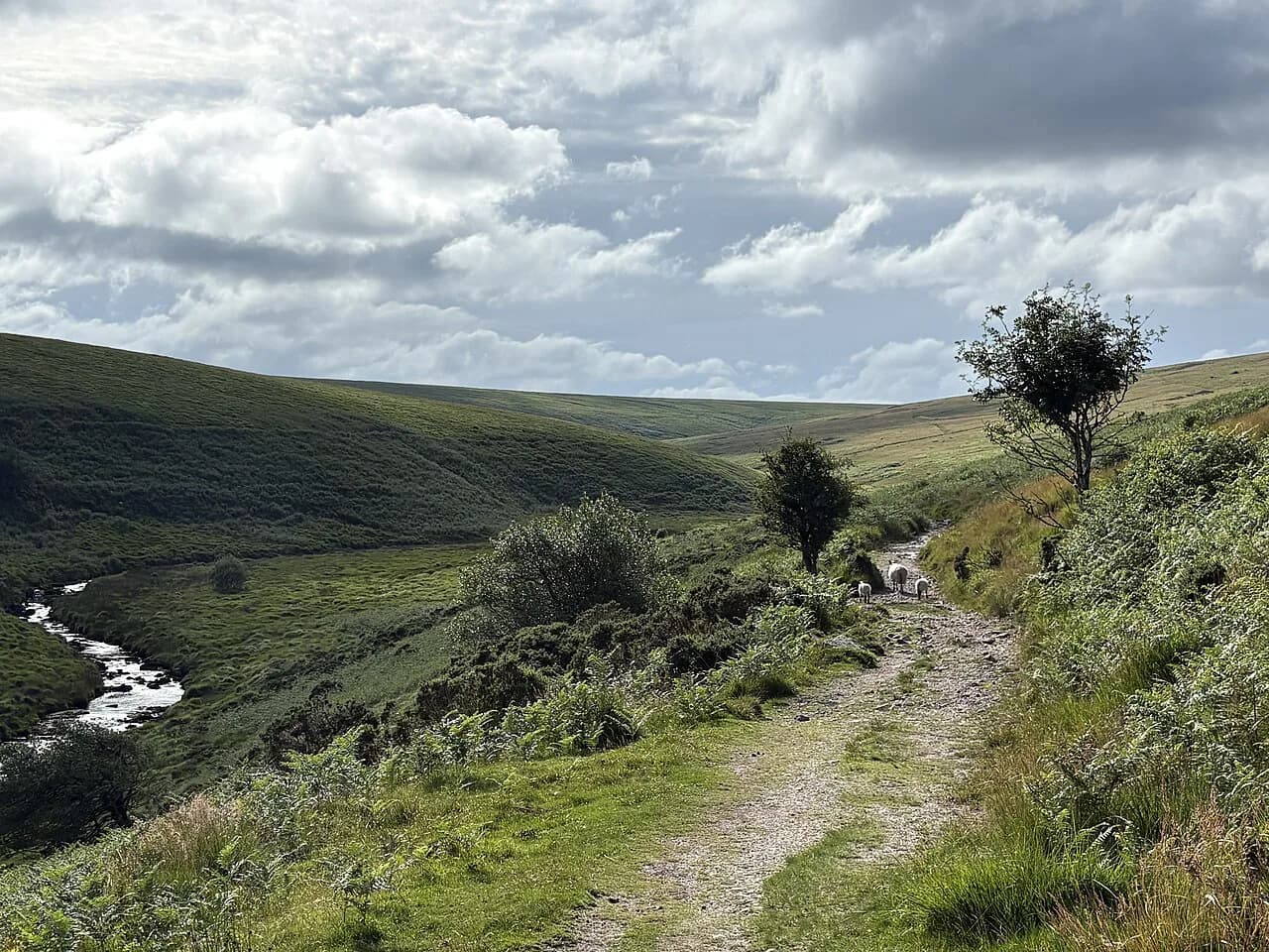
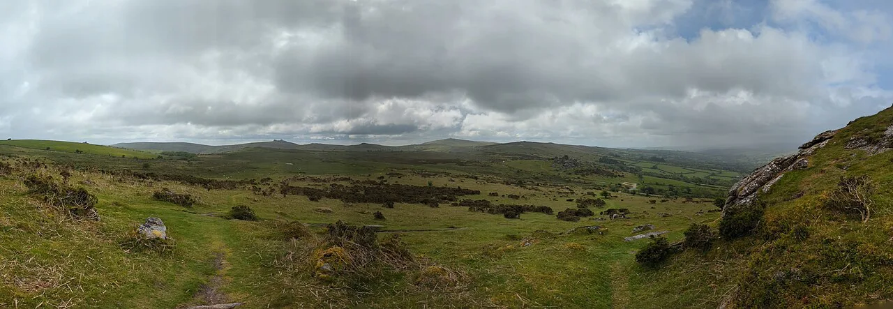
Dartmoor's walking divides into three clear bands. Low-level routes follow river valleys, reservoir shores and wooded gorges on mostly good paths, mid-moor circuits climb onto open moorland to reach tors with views but no serious scrambling, and high-moor routes cross boggy, exposed ground where navigation and weather matter. Pick your band first, then your route.
A useful reference point is the 40 walks collected in the Cicerone guide to Dartmoor, which range from 7 to 19 km (4 to 12 miles) and take 2 to 6 hours, with a separate two-day high-moor challenge of 58 km (36 miles). If you are new to the moor, stay in the shorter half of that range and add distance on a second visit.
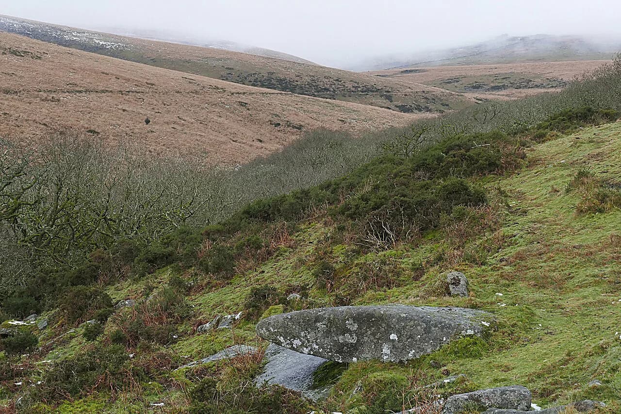
Ground conditions decide more than distance here. Open moor can be wet and boggy underfoot, mist and low cloud make navigation over featureless ground genuinely difficult, and some southern routes cross rivers without bridges. The sensible split is to keep bridgeless crossings and high moor for settled weather and good visibility, and use the reservoir and gorge circuits when the cloud is down.
Where to base yourself
Okehampton, Princetown, Postbridge, Moretonhampstead, Widecombe in the Moor and Tavistock are the established bases named for walking on the moor, and each suits a different set of routes. Okehampton puts you closest to the northern high moor and the Meldon Reservoir start for Yes Tor, while Princetown and Postbridge sit near the centre for Dartmeet, Bellever and the southern crossings.
Moretonhampstead and Widecombe in the Moor work well for the eastern tors and the wooded valleys around Fingle Bridge and Lustleigh Cleave, with Widecombe handy for Hound Tor and Haytor. Tavistock, on the western edge, serves the Walkham and Tavy valleys and the moor's western tors. Choose your base by the walks you want rather than by the size of the village, since cross-moor drives are long and slow.
Easy walks: Lydford Gorge and Whitelady Waterfall loop
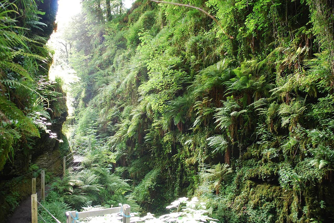
The loop through Lydford Gorge from Lydford Castle to Whitelady Waterfall is the gentlest way to see the moor's most dramatic water. It runs 5.43 km (3.4 miles) with 60 m (197 ft) of ascent and descent and takes about 1 hour 27 minutes on easily accessible paths suitable for all skill levels. The gorge is sheltered and cool, which makes it a good choice on a hot day or when low cloud sits on the high moor.
The path is narrow and slippery close to the water, so keep children within reach on the wet sections. Near the village you will find a short, level alternative if the full loop is too much on the day.
For a detailed route description, use the Lydford Gorge walk guide.
Easy walks: reservoir circuits and Avon Dam
Reservoir circuits give you level, well-made paths and reliable views. The area around Burrator and Fernworthy offers gentle, picturesque walking that suits families, and both reservoirs sit on good tracks rather than rough moor. These are the routes to take with small children, a heavy pack or a short afternoon.
The walk to Avon Dam on the south-east side of the moor is another easy option, following tarmac paths that suit pushchairs, scooters and bikes, with the river tumbling through the valley below the dam. Moss-covered trees and open moorland frame the route, so it delivers scenery without demanding navigation.
Moderate half-day: Castle Drogo via the Fisherman's Path and Hunter's Path
This loop from the Castle Drogo area is the most popular walking route on the moor, and the figures explain why. It covers 7.57 km (4.7 miles) with 190 m (623 ft) of ascent and descent in about 2 hours 11 minutes, graded moderate on mostly accessible paths that need good fitness and a sure foot.
The two paths give the route its shape and its character: the Fisherman's Path drops close to the river through the Teign Gorge, while the Hunter's Path runs higher on the opposite side for views down into the trees. Walking it as a circuit means the steepest ground is concentrated on one side, and the gentler riverside stretch comes as a reward. Below the castle, Fingle Bridge marks a natural pause before the return.
Moderate half-day: Holwell Tor and Smallacombe Rocks
The Holwell Tor and Smallacombe Rocks loop is a compact moorland circuit that fits comfortably into a half day. It measures 7.71 km (4.8 miles) with 240 m (787 ft) of ascent and descent, takes about 2 hours 18 minutes and is graded moderate, with mostly accessible paths where sure footing is required.
The appeal is the combination of granite outcrops and history: the route passes scattered remains of a medieval village along with other historic features. Rock steps and worn granite can be greasy after rain, so take the descents steadily with children or in wet weather.

Moderate half-day: Hound Tor and Haytor Rocks
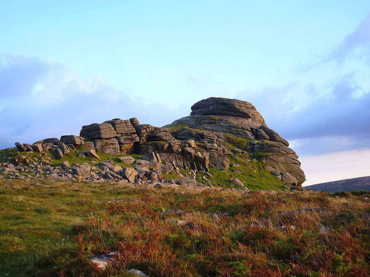
Haytor and Hound Tor are the moor's signature granite outcrops, and both can be reached on short paths from roadside car parks. From the Haytor upper car park, a well-trodden path climbs through gorse and bracken to the rocks, where boulders and crevices are made for scrambling. This is a busy spot on bright days, so start early if you want quiet.
Linking Haytor with Hound Tor makes a circular walk of about 4.5 miles (7.2 km) round trip across open moorland. That terrain rules out pushchairs, but the payoff is a full tor-to-tor day with the deserted medieval village behind Hound Tor as a detour. Facilities concentrate at the lower Haytor car park, where there are toilets and a visitor centre.
Longer moorland day: Dartmeet and Laughter Tor
For a proper day out on the east moor, the Dartmeet and Laughter Tor loop stretches to 11.7 km (7.3 miles) with 280 m (919 ft) of ascent and descent and takes around 3 hours 22 minutes. It is graded moderate and needs good fitness plus sure footing on mostly accessible paths.
Dartmeet itself is a popular beauty spot with facilities nearby, which makes it an easy place to begin and end a long walk. Sections of path can be waterlogged and boulder-strewn, and the stepping stones across the river become hazardous in wet seasons after heavy rain. In those conditions, choose a route that avoids the crossings or turn back rather than commit to a slippery crossing.
High moor challenge: Yes Tor and High Willhays from Meldon Reservoir
The biggest day in this selection climbs to the highest ground in southern England. The Yes Tor and High Willhays loop from Meldon Reservoir covers 12.1 km (7.5 miles) with 400 m (1,312 ft) of ascent and 410 m (1,345 ft) of descent, taking about 3 hours 40 minutes and graded moderate with good fitness required.
This is exposed country where the weather changes quickly, and the plateau gives little shelter once you are above the reservoir. Carry waterproofs, warm layers, a map and compass and enough food and water, and be ready to turn around if cloud lowers onto the tops. The rewards are panoramic views over the rugged northern moor from two summits in a single circuit.
Tors and prehistoric sites: Grey Wethers, Scorhill and Merrivale
Dartmoor holds one of England's densest concentrations of prehistoric remains, and several are walkable targets in their own right. The Grey Wethers stone circles, Scorhill circle, the Merrivale stone rows and the Bronze Age settlement at Grimspound all sit within the national park and reward a slow half day with time to look. Combine one or two with a tor circuit rather than trying to tick them all off.
For woodland with a different atmosphere, Wistman's Wood is a moss-covered oak wood that makes a memorable short objective.
Getting to trailheads
Dartmoor's trailheads are mostly roadside car parks, and the main ones are well known: Meldon Reservoir for Yes Tor and High Willhays, the Haytor car parks off the A38 for the eastern tors, Dartmeet for the Laughter Tor loop, and Lydford for the gorge. Parking fills quickly at Haytor and Dartmeet on sunny weekends, so arrive early or pick a quieter circuit.
Public transport reaches the moor's edges but rarely its heart. Okehampton, Tavistock and Princetown have bus connections that get you closer to the trails, and Princetown in particular is served by buses from nearby cities. Check the current timetables for the day you travel before relying on a bus for the return leg.
Longer-distance walkers can link sections on foot: the Dartmoor Way circles the moor's fringes through its villages, and the Two Moors Way crosses the national park between Devon's two moors.
If you want to walk the coast-to-coast route across both moors, use a dedicated Two Moors Way guide to plan the Dartmoor stages.
When to go
April through September is typically the driest and warmest window, while October to the end of March brings the wettest conditions, lower temperatures and occasional snow on high ground. Day walks across the moor can be done year round, but the expectations change: winter days are shorter and the high moor is a serious place in wind and rain.
Spring and early summer give the best combination of long daylight and drier ground, which matters on routes with boggy sections and river crossings. Late autumn is quieter and atmospheric in the wooded gorges, but plan shorter days and carry a headtorch as a backup.
River crossings and stepping stones
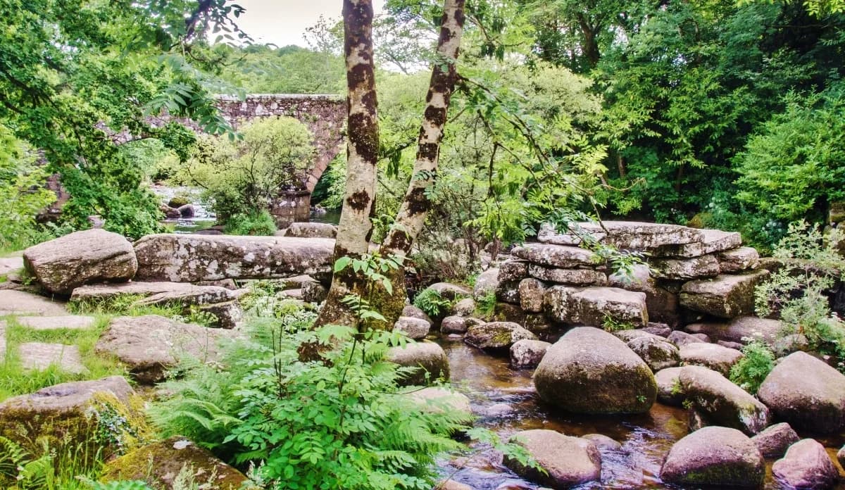
Bridgeless crossings and stepping stones are a genuine decision point on the southern moor, not just a detail of route description. The stepping stones across the River Dart and similar crossings on southern routes can be hazardous when water is high, and after heavy rain the stones sit under fast-moving water. If the river is up, choose a route without crossings or divert to a bridge.
Wet ground adds a second hazard: long sections of path can be waterlogged and boulder-strewn, which slows progress well beyond the guidebook time. Waterproof boots, poles and an earlier start solve most of it on the day.
Dogs, livestock and ground-nesting birds
Dogs are welcome across most of Dartmoor, but between 1 March and 31 July it is a legal requirement to keep them on a lead on all open moorland to protect ground-nesting birds. Outside that window, keep dogs under close control, because livestock graze many areas throughout the year.
Read the signs at car parks as you set off: some routes pass through enclosed land or near farm stock with stricter rules than the open moor.
Wild camping and overnight rules
Wild camping on Dartmoor is not a free-for-all. Following a court ruling in 2023, landowner permission is required for all wild camping, and only some areas are designated for it. Check the Dartmoor National Park Authority's rules and maps before planning an overnight trip.
For most visitors the simplest plan is a bed in one of the moor's villages or a campsite on its edge, then a long day walk with a light pack.
The Ten Tors two-day route
Experienced walkers looking for a longer challenge can follow a two-day, 58 km (36 mile) route inspired by the Ten Tors Challenge. It is a high-moor route for people with strong navigation and stamina, with long exposed sections and no shelter between stages.
Treat it as a serious outing: plan an overnight stop, carry a map and compass, and build in a backup plan for bad weather on the high ground. Anyone new to the moor should complete several of the day routes first before committing to a two-day crossing.
Plan Your Walk
Match the route to the day you actually have: a gorge or reservoir circuit when time is short or cloud is low, a tor loop for a half day of views, and the high moor only with boots, a map and a settled forecast. Name the trailhead before you leave, allow for slow wet ground, and keep the river crossings for dry spells.
If you enjoy this kind of granite-and-moorland walking and want another mountain range for a future trip, the Scottish Highlands offer a much bigger version of the same appeal, and our guide to hiking in glencoe covers trails, difficulty and when to go. For a similar coastal-and-moorland day-walk decision closer to home, our guide to the Jurassic Coast hikes shows how the same fit, distance and trailhead choices play out on England's south coast. If you would rather trade granite tors for sea cliffs, our picks for hiking in Cornwall make the same effort-versus-distance call along the South West Coast Path.
Explore more Dartmoor hiking guides
Frequently Asked Questions
What are the best walks in Dartmoor for a first visit?
Start with the Lydford Gorge and Whitelady Waterfall loop for a short, sheltered walk on good paths, then try the Castle Drogo circuit via the Fisherman's Path and Hunter's Path for a half day with river views. If you want a tor, Haytor and Hound Tor are reachable on short paths from roadside car parks.
Are there easy, family-friendly walks on Dartmoor?
Yes. Reservoir circuits at Burrator and Fernworthy are gentle and well made, and the tarmac path to Avon Dam suits pushchairs, scooters and bikes. A short gorge walk at Lydford also works, as long as you keep children close on the wet sections beside the water.
What is a good challenging hike in Dartmoor?
The Yes Tor and High Willhays loop from Meldon Reservoir is the toughest standard day route, climbing to the highest ground in southern England over exposed, boggy moorland. The Dartmeet and Laughter Tor loop is a good step up for walkers not ready for the high tops.
How long does the Castle Drogo walk take?
The circuit via the Fisherman's Path and Hunter's Path covers 7.57 km (4.7 miles) with 190 m (623 ft) of ascent and descent, and typically takes about 2 hours 11 minutes of walking. Allow extra time for the riverside section and any stops at Fingle Bridge.
When is the best time to walk on Dartmoor?
April through September is generally driest and warmest, with the longest daylight for longer routes. October to March brings wetter weather, lower temperatures and occasional snow on high ground, so plan shorter days and carry waterproofs and warm layers.
Can I bring my dog on Dartmoor walks?
Dogs are welcome on most of the moor, but from 1 March to 31 July the law requires a lead on all open moorland to protect ground-nesting birds. Livestock graze many areas year round, so keep dogs under close control at all times.
Is wild camping allowed in Dartmoor National Park?
Following a 2023 court ruling, landowner permission is required for wild camping, and only some designated areas allow it. Check the Dartmoor National Park Authority's current rules and maps before planning an overnight trip.
How do I get to Dartmoor trailheads without a car?
Buses from towns on the moor's edge, including Okehampton, Tavistock and Princetown, get you closer to the trails, but many trailheads remain a walk from the nearest stop. Plan the return leg with current timetables before you set out.
Sources
Trail notes for your next trip
Optional updates when we add or revise hiking guides.
You might also like
Continue reading
More guides you'll find useful