Haytor Walk, Dartmoor: Route, Distance and Ascent
Plan a Haytor walk on Dartmoor: where the trailhead sits, the linear route to Hound Tor, distance and walking time, and when the moor is at its best.
On this page
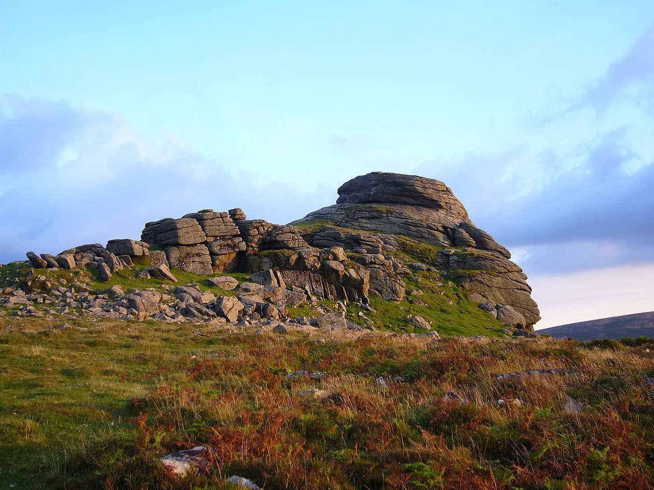
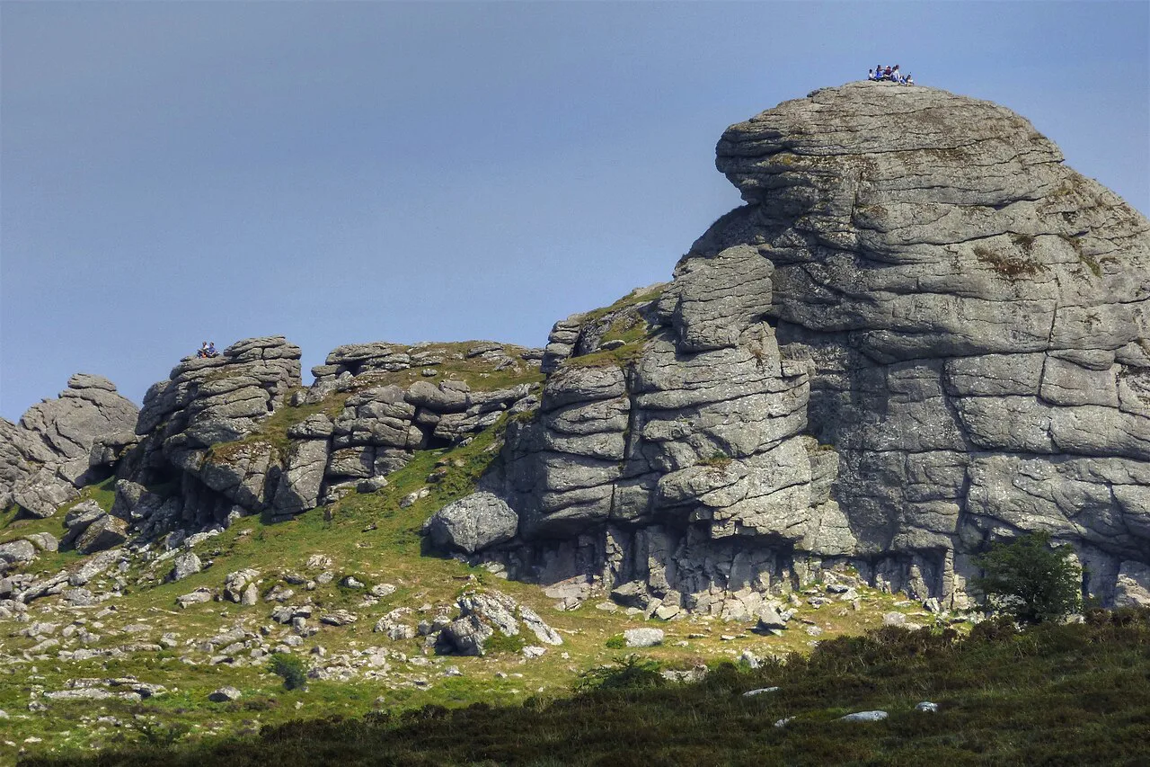
Haytor Rocks stands on the south-eastern edge of Dartmoor, a stack of weathered granite that gives one of the finest outlooks in the national park without demanding a full day on the hill. The classic outing links it with Hound Tor, another celebrated tor to the north-east, across open moorland dotted with clitter, old quarry workings and Bronze Age remains. It suits hikers with reasonable fitness and half a day to spare, and it works equally well as a short family outing or the first stage of a longer tour of the moor.
Haytor Rocks and what the walk delivers
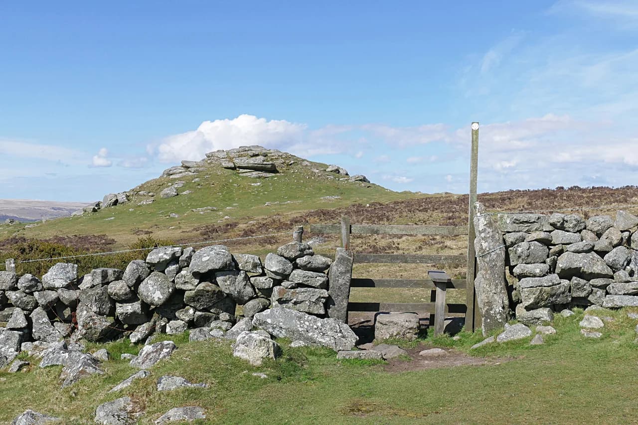
Haytor sits at the south-eastern corner of Dartmoor National Park in Devon, high enough to open views across the moor to the north and west and, on clear days, down toward the coast. The tor itself is a short climb from the road, which is why it draws a crowd on fine weekends, but a few minutes of walking takes you onto quiet ground. Pair it with Hound Tor and you get two of the moor's signature granite outcrops in one linear walk.
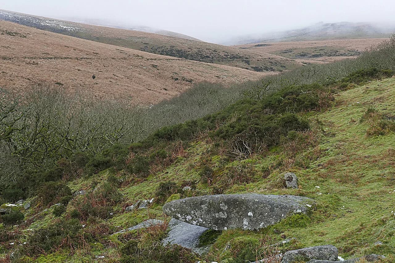
The terrain is open moorland on rough paths, with short steep pulls onto the tors and wet, boggy patches after rain. There is no scrambling of consequence on the main line between Haytor and Hound Tor, but the ground is uneven and the weather can change fast. Treat it as a proper hill day rather than a stroll, even though it is short.
Trailhead and parking
The Haytor car park sits just off the Bovey Tracey to Widecombe-in-the-Moor road, a short walk below the rocks, and it is the natural start for the linear route. Drivers reach it from the A38 via Bovey Tracey, a straightforward run from Exeter or Plymouth. On sunny weekends and school holidays the car park fills early, so an early start buys you both a space and quieter paths on the tor.
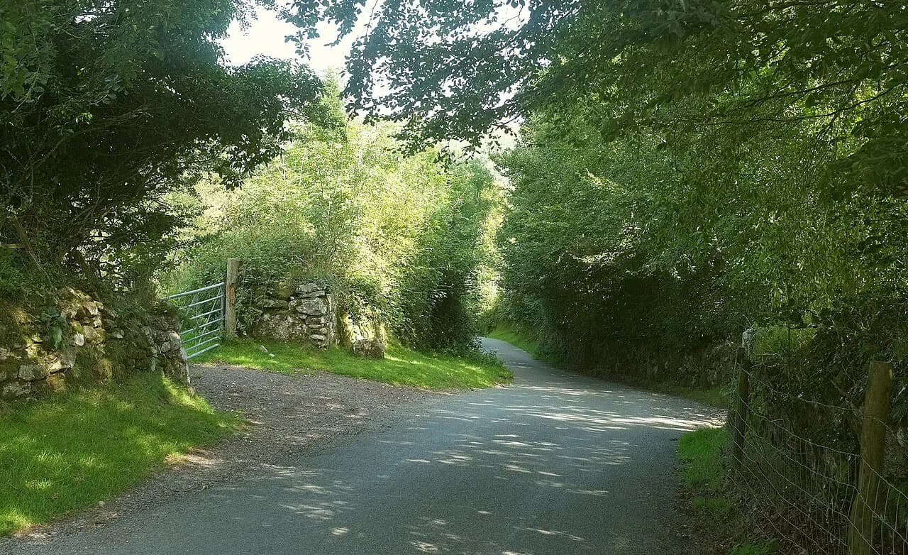
Charges and opening arrangements are managed locally, and the Visit Dartmoor walk sheet for the Haytor to Houndtor linear walk is the best starting point for current trailhead details. If you plan to arrive late in the day, leave a backup in mind: the surrounding lanes are narrow and passing places are not parking spots. Park considerately and walk the last stretch rather than blocking a gateway.
Reaching Haytor without a car
Public transport on this edge of Dartmoor works through the towns below the moor. Bovey Tracey is the nearest service centre, and buses run there from Newton Abbot and Exeter, but the final climb to Haytor is not served by a dedicated trail bus. Expect to walk up from the village on lanes and footpaths, which adds distance and time to the day.
Since no timetable is fixed for a specific trail, build your day around the bus you can actually catch and confirm the return service before you set out. Towns around the moor, including Okehampton and Tavistock, have bus links, and Princetown is served from nearby cities. A taxi from Bovey Tracey for the final climb is a practical shortcut if you want to save your legs for the moor.
Route description
From the car park, a clear path climbs to Haytor Rocks, and the top of the tor gives you the full sweep of the southern moor. Head north from the rocks toward Haytor Quarry, a granite working cut into the hillside, then follow the path across open ground to Holwell Tor. The line stays high with views opening to the north.
Past Holwell Tor the way continues over Smallacombe Rocks before a final pull to Hound Tor, whose jumbled outcrops are among the most photographed on Dartmoor. From Hound Tor you can descend to the road below or retrace your steps to Haytor. On misty days the open sections between the tors are where navigation matters: the path is not always obvious and the ground is broken.
Distance, ascent and time
The linear walk from Haytor to Hound Tor is 4.8 km (3 miles) and takes about 1.5 hours at a steady pace, which is a fair guide for the direct line between the tors. The route rolls rather than climbs in one push, so most of the walking is short ups and downs with one or two steeper pulls onto the tors.
If you walk it there and back, expect roughly double the distance and time, which makes a half-day outing rather than a short one. A circular version over the same ground is similar in effort to the out-and-back and lets you vary the return line across the moor. Whichever form you choose, allow for time on the summits: the views are the point of this walk.
The Hound Tor and Haytor circuit
The circuit suits hikers who want a proper loop without committing to a long day, and it keeps the landmarks in the same order regardless of which tor you start from. Starting at Hound Tor and finishing at Haytor means one sustained climb early, then a gentler run back to the car park. Starting at Haytor gives the reverse.
On paper the circuit is modest in distance, but the moorland between the tors is wet in winter and after heavy rain, and the path braids through clitter in places. Boots with grip and a map and compass are the sensible kit; phone signal on this part of the moor is unreliable. If the cloud drops onto the tors, drop the exposed sections from the plan.
Easy options in the same area
For a shorter outing, the Haytor Rocks area itself gives a fine half-hour stroll, with the car park close at hand and the views of the moor in every direction. The same south-eastern edge of Dartmoor has gentler, family-friendly ground around reservoirs such as Burrator and Fernworthy, where tracks are smoother and the gradients are easier. If you like the idea of an easy coastal counterpart to these short moorland strolls, the Jurassic Coast hiking guide covers day walks on the Dorset coast.
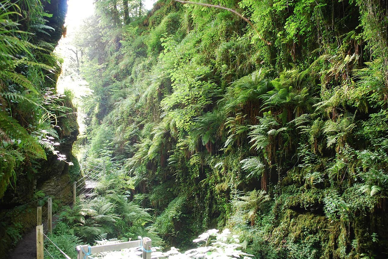
The Lydford Castle and Whitelady Waterfall loop of Lydford Gorge is 5.43 km (3.4 miles) with 60 m of ascent and takes about 1 hour 27 minutes, an easy walk suitable for all skill levels. It sits on the western side of the moor rather than beside Haytor, so pick it as a second day out rather than an add-on to the tor walk.
When to go
Late spring and early summer bring bluebells and wild garlic to the hedgebanks and lambing on the moor, while late summer turns the open ground purple with heather and yellow with gorse. September and October give autumn color on the valley edges, fewer people and generally firmer ground. Winter is possible for experienced walkers, but the moor is bleak in bad weather and some stretches become very muddy.
Whatever the forecast, carry waterproofs: the moor sits at the mercy of Atlantic weather and takes heavy rain, and conditions can change while you are on the tors. Easter and summer holidays bring a jump in demand around the moor, so book accommodation in advance if you are staying overnight.
Dogs on the open moor
Dogs are welcome on most of Dartmoor but must be kept under close control at all times, and between 1 March and 31 July it is a legal requirement to keep them on a lead on all open moorland to protect ground-nesting birds. Livestock grazes across the area throughout the year, so this is a rule to plan for, not an optional courtesy.
Safety on the moor
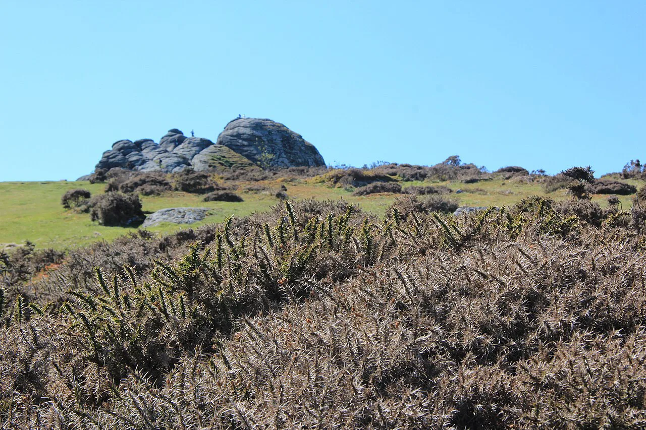
The moor's hazards are simple and real: mist that closes in fast on the tors, rough ground and clitter that slows you down, and wet bogs after rain. The correct response is to carry a map and compass and know how to use them, and to turn back from the high open stretches if visibility drops. Changeable weather means layers and waterproofs every month of the year.
Wild camping on Dartmoor now requires landowner permission following a court ruling, and designated areas are mapped by the Dartmoor National Park Authority, so check the current rules before you plan an overnight. For day walks the essentials are a map and compass, proper boots, water, food and a charged phone.
Nearby tors and a longer Dartmoor outing
Hikers who want a full day on the moor can extend from Haytor toward the Dartmeet and Laughter Tor loop, 11.7 km (7.3 miles) with 280 m of ascent and about 3 hours 22 minutes of walking, or push further to the south-western tors. The Dartmoor Way circles the moor across 173 km (108 miles) in 10 sections, with a further two making up the High Moor Link, which makes it possible to walk some sections from Haytor's edge.
Castle Drogo via the Fisherman's Path and Hunter's Path is a 7.57 km (4.7 miles) moderate outing with 190 m of ascent and around 2 hours 11 minutes of walking, a good companion day if you are staying nearby. The Yes Tor and High Willhays loop from Meldon Reservoir is the hard option, 12.1 km (7.5 miles) with 400 m of ascent and 410 m of descent, reaching Dartmoor's highest ground at 621 m (2,037 ft).
For a linear crossing of the moor, the 188 km (117 mile) stretch of the Two Moors Way from Wembury Bay to Lynmouth takes in the granite heights of Dartmoor and the softer ground of Exmoor over 10 to 14 days. The Chains section of its final stage crosses open ground where map and compass skills matter, a good indication of what the wider moor can ask of you.
Staying near Haytor
Bovey Tracey is the nearest town for food and beds, with the villages around the eastern edge of the moor offering smaller guesthouses. Chagford and Widecombe-in-the-Moor make good bases if you want a day on the tors combined with valley walks and village pubs. Booking ahead matters in the Easter and summer holidays, when demand climbs sharply.
Plan Your Haytor Walk
The Haytor to Hound Tor line gives you two of Dartmoor's best tors in about 1.5 hours of walking, with a straightforward trailhead and a choice between a linear shuttle and an out-and-back. Arrive early for a parking space, bring waterproofs and a map, and keep the dog on a lead if you are walking between March and July.
If you have a second day, the Lydford Gorge walk, Castle Drogo or the long crossing of the moor on the Two Moors Way extend the trip without leaving Dartmoor. Check the Visit Dartmoor walk sheet before you set out, and let the moor's weather, not the calendar, set your start time.
Frequently Asked Questions
How long is the Haytor walk?
The linear walk from Haytor to Hound Tor is 4.8 km (3 miles) and takes about 1.5 hours at a steady pace. Walking it there and back roughly doubles the distance and time.
Can you walk from Haytor to Hound Tor?
Yes. The route runs from Haytor Rocks north past Haytor Quarry to Holwell Tor and Smallacombe Rocks, then up to Hound Tor, and you can return the same way or take a circuit.
Where do you park for Haytor Rocks?
Use the Haytor car park just off the Bovey Tracey to Widecombe-in-the-Moor road. It fills early on sunny weekends, so start early for a space and quieter paths.
Is the Haytor walk easy?
It is moderate rather than hard, with short steep pulls onto the tors and rough moorland paths. Reasonable fitness and sturdy boots are enough, but expect wet ground after rain.
Are dogs allowed on Haytor?
Dogs are welcome but must be kept under close control, and on open moorland they must be on a lead between 1 March and 31 July. Livestock grazes the area all year.
When is the best time to walk on Dartmoor?
Late spring through early summer and September to October give the best mix of weather, color and quieter paths. Winter is possible for experienced walkers but the moor is bleak in bad weather.
Sources
Trail notes for your next trip
Optional updates when we add or revise hiking guides.
You might also like
Continue reading
More guides you'll find useful