The Dartmoor Way: Stages, Distance and How to Walk It
Plan the Dartmoor Way, a waymarked 175 km (109 mile) circuit around Dartmoor's edge in ten stages, with distances, times, transport and the best seasons.
On this page
The Dartmoor Way is a waymarked circuit around the rim of Dartmoor National Park, mixing wooded valleys, open moor edge, old tramways and granite towns across 175 km (109 miles). It suits hikers who want a multi-day route with a bed and a shop at the end of most days, and equally those who prefer to walk it a stage at a time over weekends. Because it is a loop, you can start anywhere sensible on the circuit, though Ivybridge in Devon is the official start and finish.
Where the Dartmoor Way goes
The route traces the edge of the moor rather than crossing its high centre, so it links the villages and towns that sit around the national park boundary. Ivybridge, on the southern side, is the official start and finish, but Okehampton and Bovey Tracey are common alternative starting points because both have services and transport. That flexibility matters if you are fitting the walk around fixed leave or a rail ticket.
VisitDartmoor describes the circuit as 108 miles (173 km), slightly shorter than the 109 miles (175 km) figure used in the Cicerone route guide; the difference is a matter of measurement, not route choice. Each section finishes in a town or village with accommodation, shops and pubs, which is what makes the trail easy to break into comfortable day chunks. You are never far from a bed for long on this route.
Distance, stages and walking time
The route is presented in ten stages, each between 8 miles (12.75 km) and 12¾ miles (20.5 km), with most days taking roughly five to six and a half hours of walking. That spread keeps every stage within a normal day's range for a reasonably fit hiker carrying a day pack, though the longer western stages are where you will feel it. Plan your overnight stops around the stage ends below rather than trying to force two into one.
Stage 1 runs Ivybridge to Shipley Bridge in about 5 hours over 10 miles (16 km); Stage 2 continues to Ashburton in 6 hours over 10½ miles (16.75 km). Stage 3 heads to Bovey Tracey in 6½ hours over 12¼ miles (19.75 km), and Stage 4 reaches Moretonhampstead in 5½ hours over 10½ miles (16.75 km). These southern and eastern days cross farmland, woodland and old tramways, with the Avon valley and the edge of the moor setting the tone.
Stage 5 is the shortest, Moretonhampstead to Chagford in 4½ hours over 8 miles (12.75 km), which leaves time to linger in the Teign Gorge area. Stage 6 pushes on to Okehampton in 6½ hours over 12¼ miles (19.75 km), and Stage 7 drops to Lydford in 5 hours over 9¾ miles (15.75 km). The northern edge is where the route brushes the high ground and the views open out.
Stage 8, Lydford to Tavistock, is the longest at 12¾ miles (20.5 km) and about 6 hours, so start early and keep an eye on the clock in winter. Stage 9 runs Tavistock to Shaugh Bridge in 6 hours over 11¾ miles (18.5 km), and Stage 10 closes the loop to Ivybridge in 6½ hours over 12 miles (19.25 km). The final day crosses the southern moor edge with The Dewerstone and the china clay country in view.
Direction of travel
Most walkers go anticlockwise, which gives a slightly gentler ascent profile and puts some of the best views ahead of you rather than behind. The route works in either direction and the stage descriptions account for clockwise walking, so choose the direction that fits your transport and accommodation. If you start at Ivybridge heading anticlockwise, you begin on the southern edge and work up the eastern side toward Haytor and the Teign.
Walking clockwise flips the long Tavistock to Lydford day into a Lydford to Tavistock day and reverses the climb patterns, which suits some hikers' legs better. The practical tie-breaker is usually transport: which town you can reach by train on a Friday evening. Do not agonize over the direction — the signs work both ways and the views are there whichever way you face.
Trailhead and access
Ivybridge is on the main London to Penzance railway line and sits close to the A38, which makes it the easiest place to begin or end a through-walk. Tavistock and Okehampton also have strong bus and rail connections for their size, and the revived Dartmoor Line from Exeter to Okehampton gives the northern side a rail option. The seasonal Dartmoor Explorer bus adds another way to reach the edge of the moor.
Two points on the route are awkward for public transport: Shipley Bridge at the end of Stage 1 and Shaugh Bridge at the end of Stage 9, where services are thin or absent. If you are walking stage by stage, plan a lift or a taxi for those days rather than relying on a bus that may not come. Village services around the moor can be infrequent, rarely run on Sundays and often stop by late afternoon, so build your day around the first and last bus.
Parking is easiest in the towns where stages begin and end, such as Ivybridge, Ashburton, Moretonhampstead and Okehampton; leave the car there and use buses or lifts for the awkward sections. Carry a map and know your fallback bus before you set out on a Sunday. For a broader look at day routes and shorter options, use the walks in Dartmoor collection as a planning backstop.
Route description: south and east
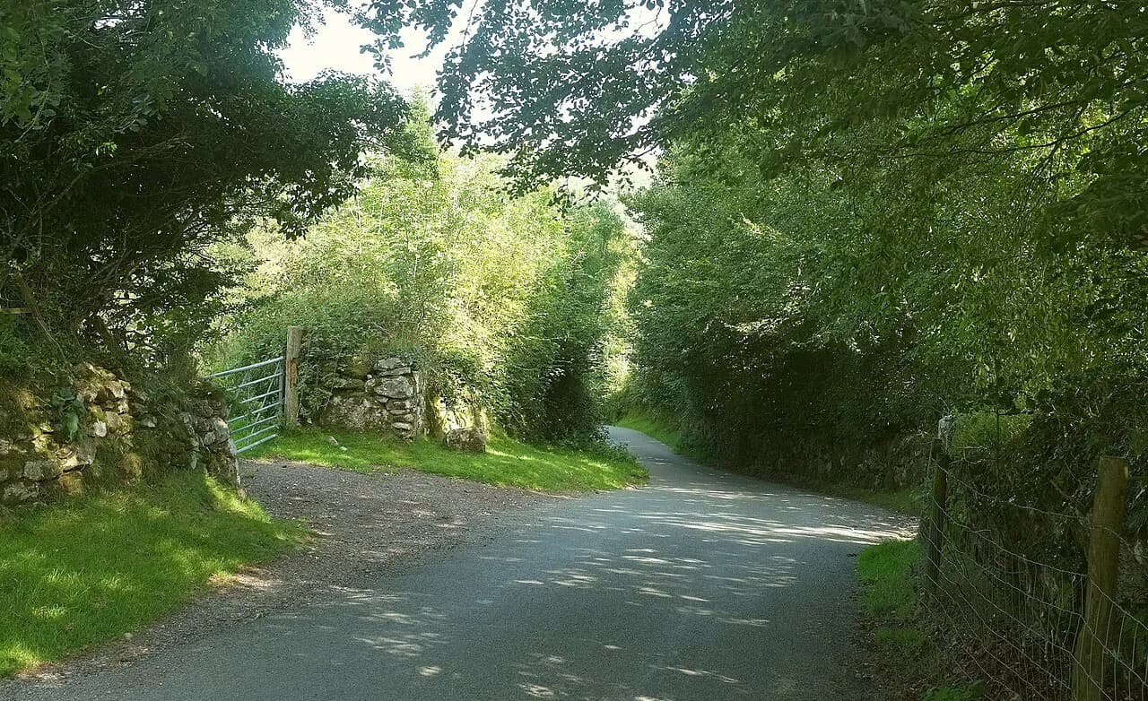
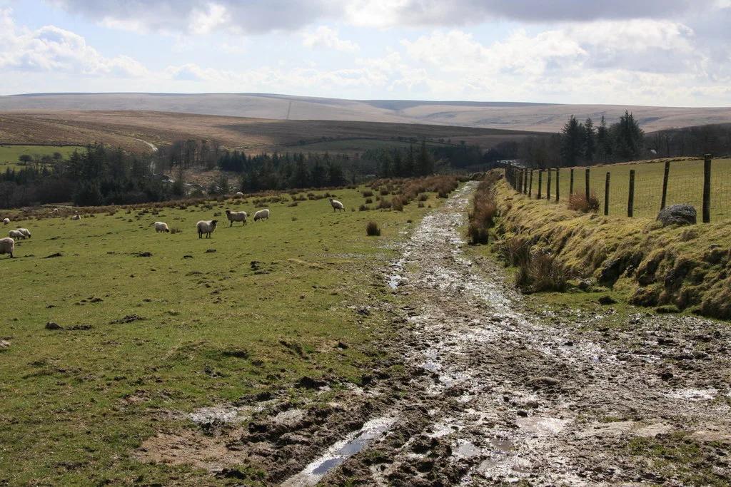
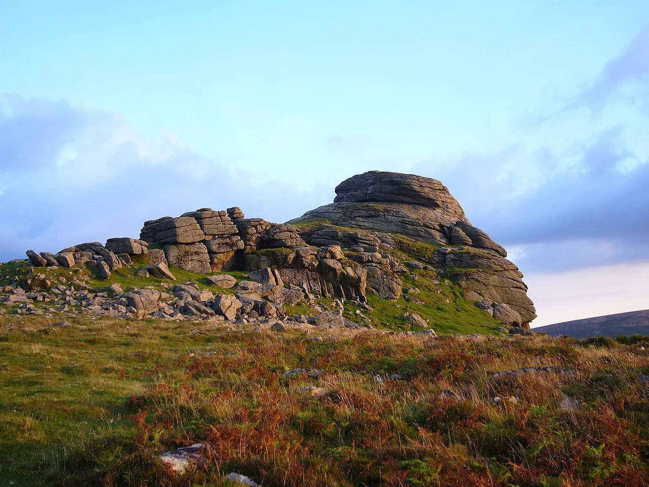
From Ivybridge the route heads up the Avon valley toward Shipley Bridge, following riverbank paths and lanes beneath the southern moor edge before climbing through farmland to Ashburton. Stage 3 then crosses toward Bovey Tracey along the granite tramway near Beckaford, an old industrial line that now makes an easy, graded walk through woodland. Haytor Rocks and the Haytor Granite Tramway are the standout features on this eastern stretch, with the granite blocks still grooved where the tramway ran.
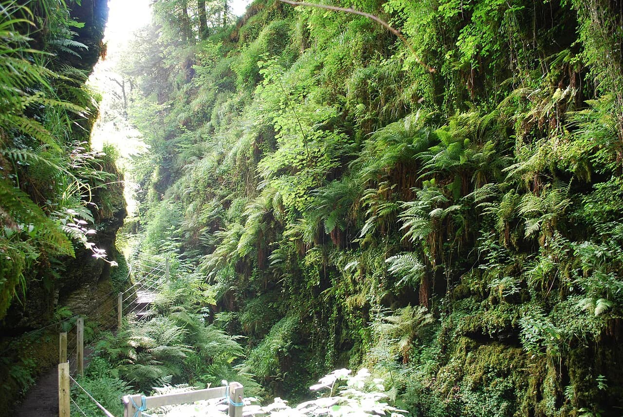
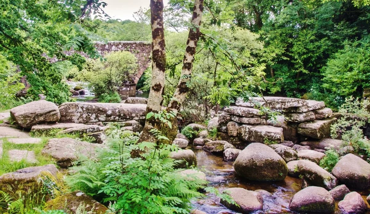
Beyond Bovey Tracey, the route works north through lanes and woods to Moretonhampstead, then on to Chagford and the steep-sided Teign Gorge. Castle Drogo stands above the river here and Fingle Bridge is a natural pause on a warm day, though both get busy in summer. In bluebell season the wooded sections and the approach to the Meldon Viaduct are at their best.
Route description: north and west
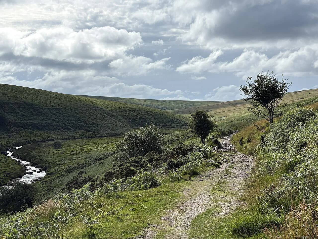
Chagford to Okehampton crosses Belstone Cleave and follows the Taw before reaching Okehampton Castle, with High Willhays and the high moor visible above. The Lydford stage passes Lydford Castle and its dramatic gorge country, where the river has cut a slot through the rock. For a shorter outing in that area, the Lydford Gorge walk makes a good side trip on a rest day.
Between Lydford and Tavistock the path passes the Dewerstone outcrop and crosses quiet lanes and byways; the church of St Michael de Rupe stays in view as the route rounds Gibbet Hill. From Tavistock, Stage 9 drops toward Shaugh Bridge and the western edge, where the Redlake Tramway and the working china clay pits at Lee Moor recall the moor's industrial past. The final day back to Ivybridge skirts the southern moor and closes the circuit.
The High Moor Link
The High Moor Link cuts across the middle of the moor rather than round its edge, turning the circuit into two smaller loops or a figure of eight. It adds two more sections to the ten official stages, and on those days you are out on open high moor with Princetown and its prison close to the centre of the route. This matters if you have less than a full week or want a more exposed, wilder flavour than the edge path gives.
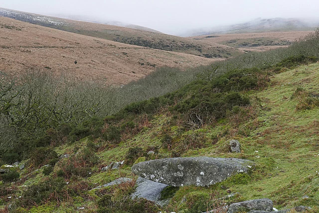
The link is also the natural way to see Wistman's Wood, the stunted oak wood that sits on the high ground near Two Bridges. Walking the wistmans wood walk as a separate outing lets you explore the wood without committing to the full link in poor weather. On open moor, the weather can change fast, and navigation over the plateau is a real step up from the waymarked edge path.
Terrain and difficulty
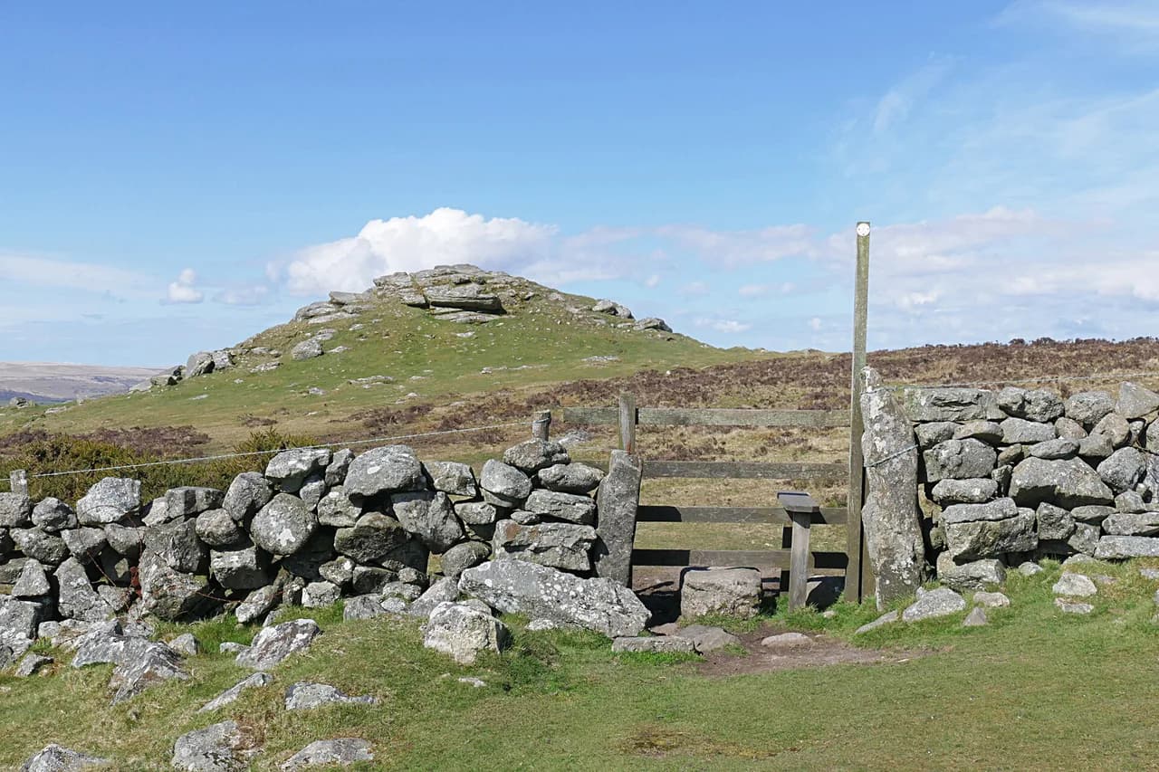
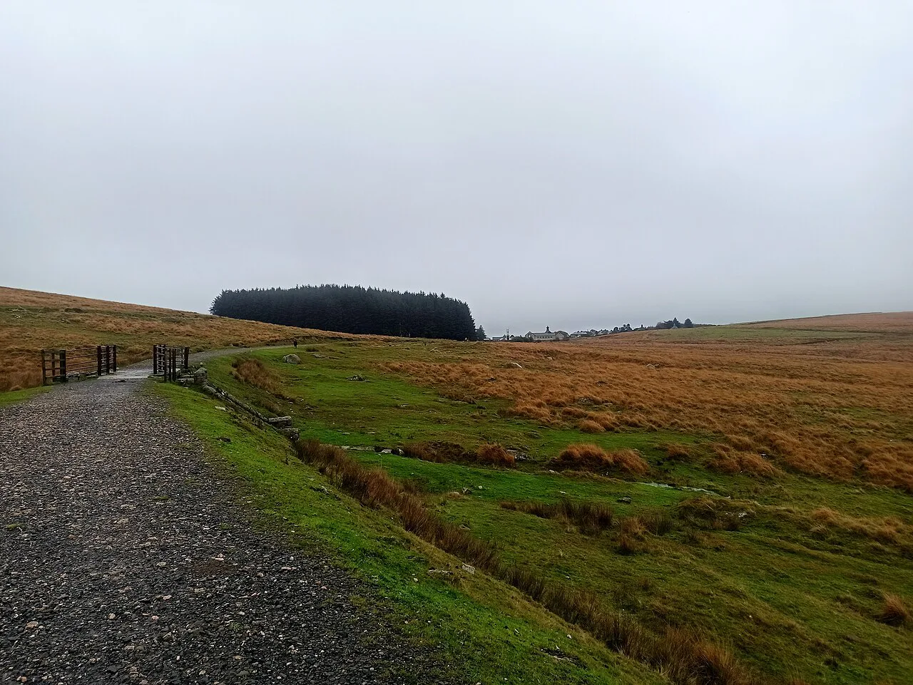
The Dartmoor Way is well signposted and split into manageable days, but it includes short, steep ascents and descents rather than long mountain climbs. Some sections are boggy, stony or overgrown after heavy rain, and the granite tracks can be slick in wet weather, so waterproof boots with a decent tread are worth the weight. Carry a paper map for the open sections, where the path can be faint and the mist drops quickly.
On the higher western side, low cloud and mist can make navigation genuinely difficult, and the guide maps alternative low-level routes for poor-visibility days. If a day goes bad, use the lower option and save the high moor crossing for clearer weather rather than pushing on blind. This is hiking country, not a mountain route, but the weather is what makes it serious.
A week or weekends: how to schedule it
A confident walker on a one-week break can complete the route in seven stages, grouping the official days to make longer but still reasonable outings. The trade-off is that some days push past the 12¾ mile (20.5 km) longest official stage and leave less margin for bad weather or a late start. If you want a comfortable pace, spread the ten stages across two weekends or use the sleeper-friendly option of staying in Ivybridge and day-walking sections.
The section-at-a-time approach suits hikers based in the towns: park, walk out and back or arrange a pick-up, and save the long western day for a weekend when you can start early. If you are looking for a linear long-distance route across the region instead, the Two Moors Way runs from Wembury Bay on the south coast to Lynmouth and makes a different kind of trip.
Accommodation, luggage and camping
Pubs, B&Bs, self-catering cottages and campsites line the route, and many are concentrated in the towns at the start and end of each stage. Book ahead, especially in school holidays, and ask whether one-night stays are accepted if you are walking the route in stages. Some places close between late autumn and Easter, so check before you set out in the shoulder season.
Luggage transfer companies will move your bags from one night's stop to the next, and some hosts will help arrange it, so you can walk with a small pack. If booking the whole thing feels heavy, self-guided holiday operators handle accommodation and transfers for you, though this guide does not name them. Wild camping is allowed only in designated zones on Dartmoor, out of sight of roads, for no more than two nights, leaving no trace. Check the Dartmoor National Park map for the exact zones before you count on a night under canvas.
When to go
Spring, from April to early June, and autumn are the best windows, with mild weather, wildflowers and quieter trails. Haytor and Fingle Bridge get busy on warm summer days, though the walking route itself stays fairly quiet. Winter is possible, but expect short days, wet ground and low cloud, particularly on the higher western side. If you want a coastal alternative with similar shoulder-season appeal, see hiking in Jurassic Coast.
Dartmoor weather is unpredictable year-round, so check the Met Office forecast before setting out and carry waterproofs whatever the season. Afternoon mist and heavy rain are common in the west, where the route is most exposed. Build a rest day into a week-long walk if the forecast looks unsettled.
What to carry and what to watch
Waterproof boots, a map and compass, waterproofs and warm layers should be in your pack on every stage, because the moor's weather changes quickly and mobile signal is patchy. Carry water and snacks for the day; villages are not always on the path between stage ends. A basic first-aid kit is worth the weight.
Highland cattle graze some of the commons and are mostly unbothered, but give them room and keep dogs under control. On the moor edge, keep to the path where the ground is boggy, especially after wet spells. You are sharing the route with cyclists on some of the byways, so keep left and listen for bells.
Highlights along the way
The granite tramway at Haytor, the wooded Teign Gorge, Castle Drogo and Meldon Viaduct give the route its variety, from industrial archaeology to Victorian architecture. Buckfast Abbey, Cranbrook Iron Age hillfort and the Redlake Tramway add history, and the china clay workings at Lee Moor show a working landscape. If you want a riverside excursion, the dartmeet walk takes you to the confluence of the East and West Dart, the river that gives the moor its name.
Plan Your Visit
The Dartmoor Way works because it runs at the pace of the moor: short, varied days with a pub or a B&B at the end and no need for high alpine fitness. Decide first whether you are walking it in a week or a weekend at a time, then build your stages around the towns with rail and bus links. Ivybridge, Okehampton and Tavistock are the anchors; Shipley Bridge and Shaugh Bridge are where you plan a lift.
Check the Met Office forecast before you set out and the Travel Devon pages for the seasonal buses and rail connections near your stage ends. If you want the contrast of a linear route, the two moors way gives you a long-distance walk from the south coast to the north. Otherwise, lace up and walk the loop the way it is meant to be walked, anticlockwise, one valley at a time.
Frequently Asked Questions
How long is the Dartmoor Way?
The route is 175 km (109 miles) as measured by the route guide, or 173 km (108 miles) as VisitDartmoor describes it, circling the edge of Dartmoor National Park. The difference reflects different measurements of the same circuit rather than a different route.
How many stages does the Dartmoor Way have?
The waymarked route is split into ten stages, each between 8 miles (12.75 km) and 12¾ miles (20.5 km). A further two sections make up the High Moor Link across the centre, which lets you split the circuit into two smaller loops.
Can you walk the Dartmoor Way in a week?
Yes, if you are an experienced walker and prepared for longer days. Grouping the official stages into seven days is a common approach, but this pushes some days beyond the 20.5 km (12¾ mile) longest official stage.
Which direction should you walk the Dartmoor Way?
Most walkers go anticlockwise, which gives a slightly gentler ascent profile and good views. The route is waymarked in both directions and works either way, so choose the direction that suits your transport and accommodation.
How difficult is the Dartmoor Way?
It is a well signposted long-distance route with short, steep ascents and descents, boggy and stony ground after rain, and some open moor navigation. The High Moor Link is the most exposed section, and the weather is the main challenge.
When is the best time to walk the Dartmoor Way?
Spring, from April to early June, and autumn offer the best conditions, with mild weather and quieter trails. Summer is busy at Haytor and Fingle Bridge, and winter brings short days, wet ground and mist on the higher western side.
Is the Dartmoor Way accessible by public transport?
The route is well served by public transport around the edges of the moor, especially at Ivybridge, Tavistock and Okehampton. Village services can be infrequent, rarely run on Sundays and stop by late afternoon, and Shipley Bridge and Shaugh Bridge have little or no public transport.
Can you wild camp on the Dartmoor Way?
Wild camping is permitted only in designated zones on Dartmoor, out of sight of roads, for no more than two nights and leaving no trace. Check the Dartmoor National Park map for the zones before you rely on a night under canvas.
Sources
Trail notes for your next trip
Optional updates when we add or revise hiking guides.
You might also like
Continue reading
More guides you'll find useful