Two Moors Way: Devon Coast-to-Coast Hiking Guide
Walk the Two Moors Way across Dartmoor and Exmoor: 188km from Wembury Bay to Lynmouth, with stage distances, ascent, moorland navigation and transport.
On this page
The Two Moors Way is Devon's coast-to-coast walk, running 188km (117 miles) from the beach at Wembury Bay in the south to the harbour at Lynmouth in the north. It suits walkers of reasonable fitness who want a long-distance route that is undulating rather than mountainous, with two genuinely demanding moorland crossings in the middle and near the end.
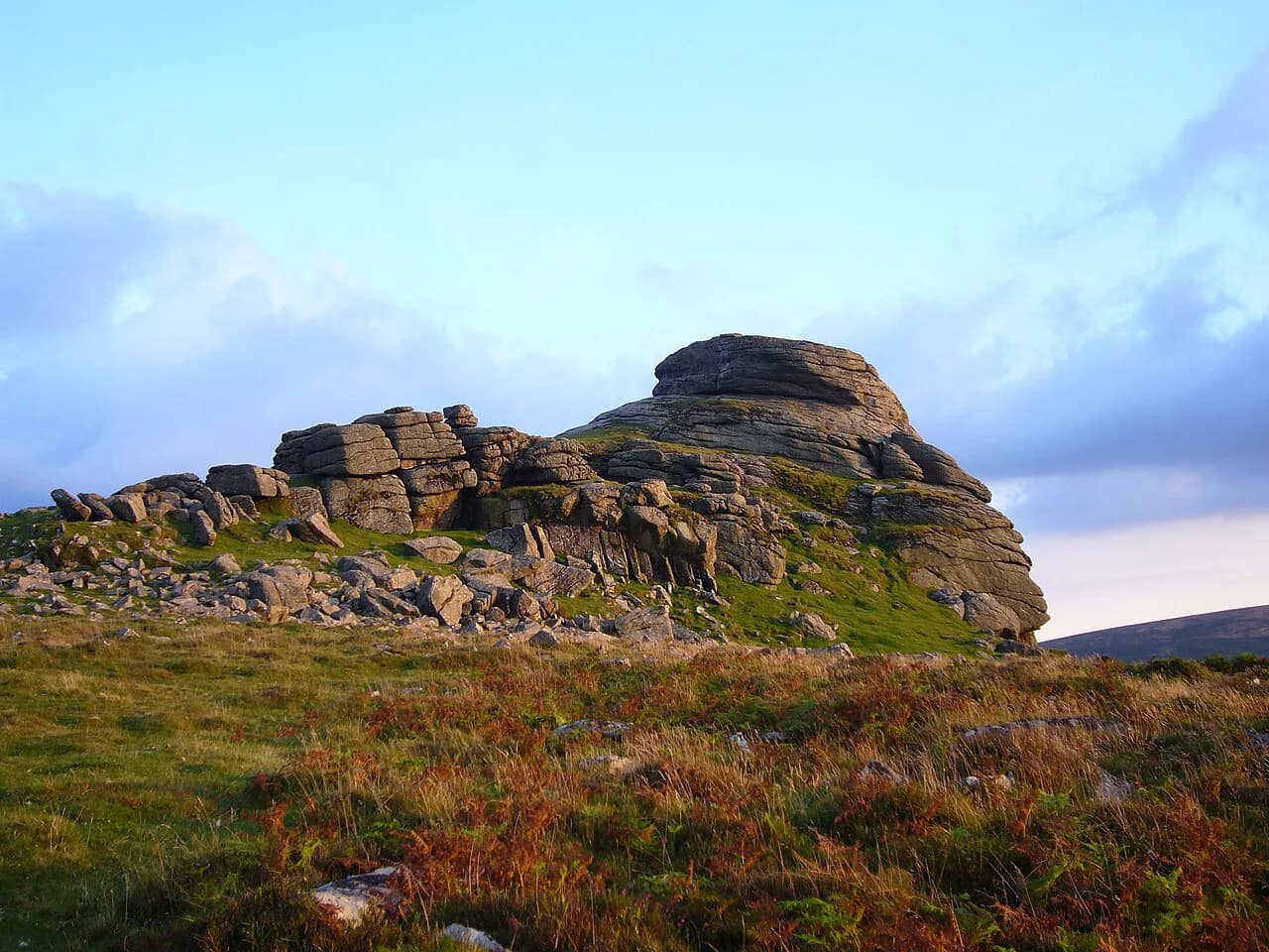
Four landscapes carry you across: the hedgebanked fields of the South Hams, the granite tors and Bronze Age remains of Dartmoor, the quiet farmland of Mid Devon, then Exmoor's rounded hills and wooded river valleys. Most people walk it over 10 to 14 days, though the low-level variants and the split options on the long days let you shape the pace to your own legs.
What the Two Moors Way is
The original Two Moors Way linked Dartmoor and Exmoor across the middle of Devon. In 2005 the route was extended south from Ivybridge along a stretch of the Erme–Plym Trail to Wembury, creating a genuine coast-to-coast line across England's largest county. The full walk passes through two national parks and covers a wider variety of ground than either moor alone.
The route is split into eleven sections, and the official site measures it at 117 miles, with Dartmoor accounting for 36 miles across four stages and Exmoor for 25 miles across three. Walk the route in full and you cross from a south-coast beach to a north-coast harbour, so the character of the walking changes completely from one end to the other.
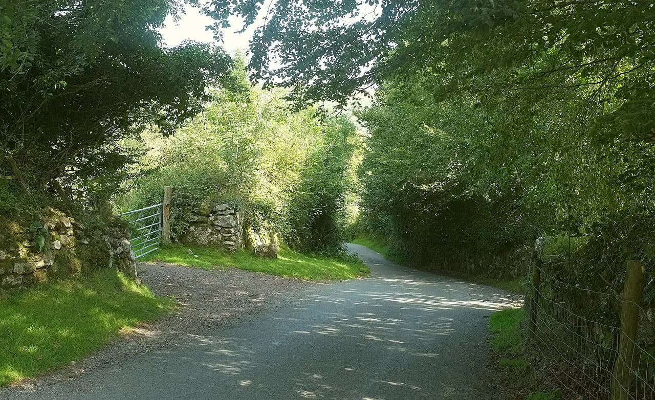
Between the moors lies Mid Devon, a stretch of red-soiled, hedgebanked farmland, remote churches and narrow lanes that most visitors to the county never see. It is quieter and less dramatic than the moorland days, and often muddier, but it gives the route its rhythm. Treat it as walking country rather than filler.
If your trip is anchored on the moor rather than the full coast-to-coast, the day routes and shorter itineraries in the Dartmoor National Park guide are a useful way to size up the terrain before committing to a two-week traverse.
Which direction to walk
South to north, from Wembury Bay to Lynmouth, is the direction the stage descriptions follow and the one most walkers choose. The South Hams stages act as a gentle warm-up before Dartmoor, the prevailing southwesterly winds are broadly at your back, and the route finishes with the wooded descent of the East Lyn valley into Lynmouth.
Walking north to south is perfectly feasible, but it opens with a steep 250m (820ft) climb out of Lynmouth to the top of the East Lyn ravine, and it drops the hardest navigation onto the later days. Unless you have a specific reason to reverse it, start at the south coast.
The 11 stages at a glance
Stage 1 runs 12km (7.5 miles) with 355m (1,165ft) of ascent from Wembury Beach to Yealmpton in about four hours. Stage 2 continues 14.5km (9 miles) and 280m to Ivybridge in roughly four and a half hours, where the route touches the rail network.
The Dartmoor stages begin with Stage 3, Ivybridge to Holne, at 21.8km (13.5 miles), 595m (1,950ft) of ascent and about seven hours. Stage 4, Holne to Dunstone Down, is a shorter 11.5km (7.3 miles) with 425m, and Stage 5, Dunstone Down to Chagford Bridge, runs 16.8km (10.5 miles) with 425m over roughly five and a half hours.
Stage 6, Chagford Bridge to Morchard Road, is the long day: 28.9km (18 miles) with 655m (2,150ft) of ascent and around eight hours. Stage 7 to Witheridge follows at 16.8km (10.5 miles) and 485m, then Stage 8 to Knowstone is the shortest at 12.5km (7.8 miles) and 210m.
Exmoor takes over on Stage 9, Knowstone to Tarr Steps, at 17.5km (11 miles) and 475m, with about five and a quarter hours. Stages 10 and 11 both run 17.5km with 415m and 440m of ascent respectively, and each is scheduled at six hours, with the final day dropping into Lynmouth.
Those times are walking estimates for steady pace, not including stops, and the moorland days can run longer in wet ground or poor visibility. Add a margin on Stages 3, 6 and 11 rather than planning them tight against an evening transfer.
Stages 1-2: the South Hams
The walk starts on the sand at Wembury Bay, with the Great Mewstone offshore and the marine centre behind the beach. From there the route climbs through fields and copses to Yealmpton and on to Ivybridge, using long-established paths with no technical difficulty.
Hedgebanks and lanes make this the greenest and most enclosed part of the route, and after rain the field gateways get wet and muddy. Walking boots and gaiters earn their place even on these gentle days. Ivybridge is where you first meet the railway, which makes it the natural place to break the walk if you are doing it in sections.
Stage 3: the southern Dartmoor crossing
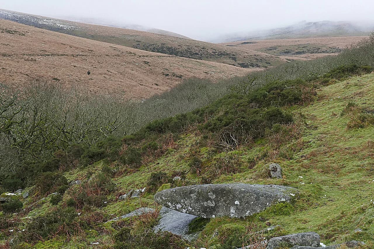
Stage 3 takes you up onto southern Dartmoor along the Redlake Tramway trackbed, past tin-working remains and open moorland, before leaving the high ground near Chalk Ford and dropping to Holne. The middle section is pathless in places and the waymarking is patchy, so map and compass work is essential rather than optional. If you enjoy this kind of rough, waymark-light ground, hiking in Brecon Beacons offers comparable open-moorland days worth comparing.
In clear weather the crossing is one of the finest parts of the whole route; in mist it is the most serious. The Stage 3A low-level alternative adds about 5km but avoids the most exposed ground, and choosing it is a sensible weather decision, not a downgrade of your trip.
If you want to sample the moor without committing to the full crossing, shorter options such as the Dartmeet walk give you a feel for the River Dart valley and the open ground above it.
Stages 4-5: Holne to Chagford Bridge
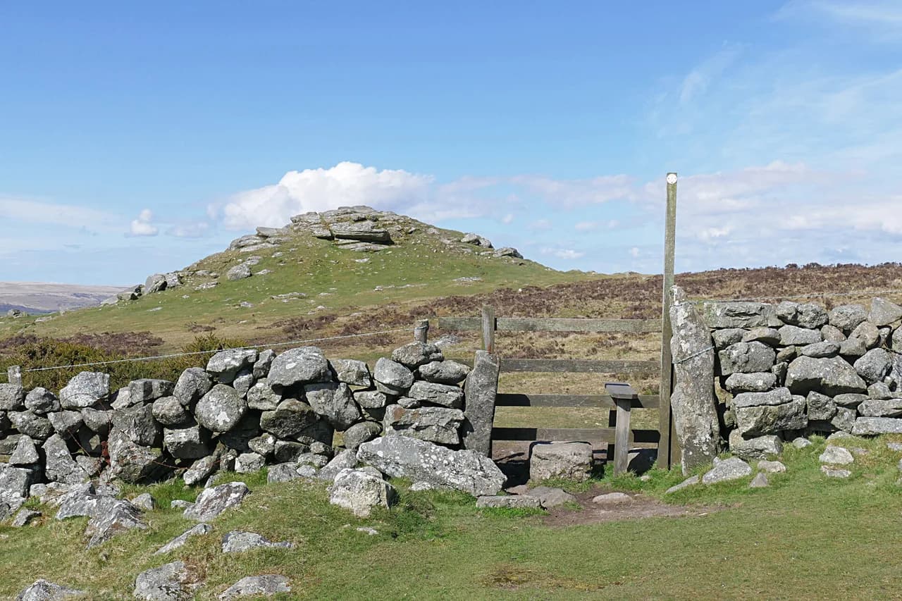
Stage 4 climbs from Holne to Dunstone Down, passing close to the Warren House Inn, the highest pub in southern England and a welcome landmark on this stretch. Stage 5 continues over Hamel Down, where you are likely to meet Dartmoor hill ponies on the open ridge, and on toward Chagford Bridge below the town.
A low-level alternative, Stage 5A, bypasses the Hamel Down ridge and is worth taking when cloud is down or the ground is saturated. Both variants end at Chagford Bridge, and Chagford itself, a stannary town just off the route, is a good place to restock and eat.
The route then meets the Teign Gorge near Castle Drogo, a wooded cut in the moor that makes a strong contrast with the open ridges above. The Dartmoor Way long-distance route also threads this part of the national park, and its guide is worth reading if you plan to link walks across the moor.
Stage 6: the long day to Morchard Road
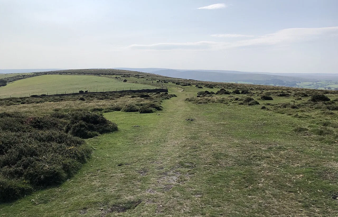
Stage 6 is the day that catches people out: 28.9km (18 miles) with 655m of ascent across hilly, hedgebanked Mid Devon farmland. It is not technical, but the distance and the repeated short climbs make it a long day, and the red soils hold water after rain.
You can split it by overnighting in Drewsteignton or breaking the day around the 17.8km (11-mile) mark near Newbury. That turns a grind into two reasonable days and is the better option if you are new to consecutive long-distance days.
The day ends at Morchard Road, which sits on the railway, so it is a practical point to join or leave the route if you are walking it in stages.
Stages 7-8: Mid Devon to Knowstone
Stage 7 runs to Witheridge through more hedgebanked farmland and small hamlets, passing close to the church at Washford Pyne. Stage 8, the shortest of the walk at 12.5km, meanders to Knowstone with comparatively little climbing and makes a good recovery day before Exmoor.
These two days are the quiet middle of the route, and their appeal depends on whether you enjoy enclosed lanes and remote churches. If you prefer high, open ground, plan to walk them in one long push and give the saved day to the moors.
Stages 9-11: Tarr Steps, the Barle valley and Lynmouth
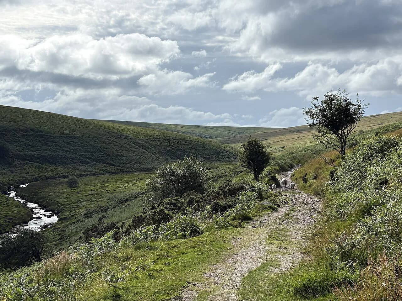
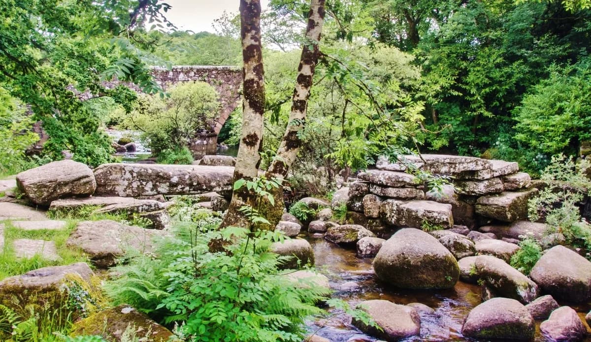
Stage 9 brings you onto Exmoor and to Tarr Steps, the ancient clapper bridge over the River Barle; a bridle bridge nearby keeps the route passable when the clapper bridge is damaged by floodwater. Stage 10 follows the Barle past Landacre Bridge toward Simonsbath, through some of the finest riverside walking on the entire route.
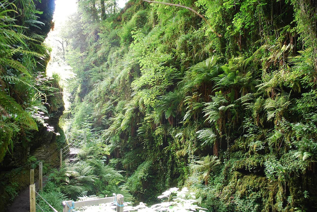
Stage 11 crosses the Chains, Exmoor's high watershed at 487m (1,598ft) near the source of the River Exe, where sparse waymarking makes map and compass work necessary in poor visibility. From there the route drops through the wooded East Lyn valley to Lynmouth, a memorable finish beneath Exmoor's high sea cliffs.
Exmoor ponies are sometimes seen above the River Barle on the approach to Simonsbath and should be admired from a distance and never fed. Red deer are also at their most numerous here in England, so keep quiet and keep your distance.
Distance, ascent and difficulty
The whole route is rated moderate, but that average hides a wide range. Stages 1 and 2 are gentle introductions, Stage 6 is long and testing, and Stages 3 and 11 cross open moorland where the ground is rough, boggy and hard to follow in mist.
The two real cruxes are navigation rather than steepness: the pathless middle of Stage 3 between the Red Lake track and Chalk Ford, and the Chains on Stage 11. If you have solid map and compass skills, both are fine in fair weather; if not, take the low-level route on Stage 3 or wait for a clear forecast.
Mud is a recurring factor on the South Hams and Mid Devon sections, where field gateways and lanes can be deep after rain. Boots and gaiters are worth carrying even if you normally walk in trail shoes.
Trailhead access and transport
Wembury is reached from Plymouth, which sits on the main Paddington to Penzance railway line. From the city centre, First Bus no. 48 runs to Wembury via Plymstock, and taxis from Plymouth station cover the last few miles; check current times and fares with Traveline before you travel.
Lynmouth is the harder end: buses 309 and 310 run to Barnstaple Monday to Saturday, connecting with the Tarka Line railway to Exeter. Book a taxi in advance if you are arriving late, and use Traveline for current timetables rather than relying on printed ones.
Along the route, public transport is sparse. The walk touches the railway at Ivybridge and Morchard Road, so those are the practical points to join or leave if you are walking in stages; everyone else needs a car, a support driver, or accommodation at each stage end.
Luggage transfer companies move bags between overnight stops, with Luggage Transfers advertising rates from £18 per day and a 20kg allowance per item. Self-guided operators such as Contours also run the trail: their full Wembury to Lynmouth itineraries start from £1,055 per person, and the official Two Moors Way site lists further operators and a Stay and Eat map.
Moorland navigation, weather and ground
Devon takes Atlantic rain, and Dartmoor at Princetown gets roughly twice the annual rainfall of Plymouth only 15 miles away. Waterproofs belong in your pack whatever the forecast, and the moor can turn from clear to claggy in under an hour.
Waymarking is patchy on the moorland sections, so carry the OS map and a compass and know how to use them. The Cicerone guide includes 1:25,000 mapping in a separate booklet for exactly this reason.
Afternoon storms are common on both moors in summer, so start the exposed sections early and have a bail-out plan such as the low-level variants on Stages 3 and 5. On the coast path at Wembury and near Lynmouth, keep off wet rock at the waterline and watch for slippery roots in the wooded valleys.
When to go
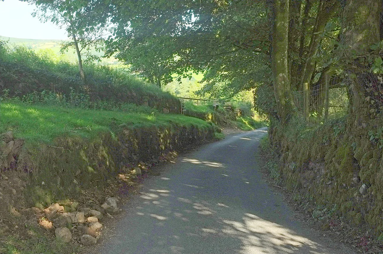
April to June and September to October are the best windows. Spring brings primroses, bluebells and wild garlic along the hedge banks and foals on the commons; autumn gives beech hedgebanks turning bronze on Exmoor, fewer people and generally firmer ground.
August brings purple heather on both moors and long days, but also peak holiday demand on the moorland stretches and at both ends. Winter is possible for experienced walkers, though the moors are bleak in bad weather, some accommodation closes between late October half-term and Easter, and paths get very muddy.
Book overnight stops well ahead for Easter and the summer holidays, particularly on the Dartmoor and Exmoor days. On a route where villages are small, a full house can mean a long detour.
Huts, accommodation and wild camping
There are no alpine-style huts; you sleep in B&Bs, pubs and small hotels along or near the route, and many places are used to walkers and offer pick-ups from the nearest point on the trail. The official site keeps an interactive Stay and Eat map of recommended places.
Wild camping is permitted on Dartmoor when backpacking, subject to national park rules: lightweight tents only, not within 100m of a road, not visible from the road or any property, and not on enclosed farmland. It is not permitted on Exmoor, so plan the Exmoor stages around booked beds.
Dogs on the route
Dogs must be on a lead between 1 March and 31 July for lambing and bird-nesting season, and kept under close control the rest of the year because livestock is encountered in fields and on the commons. Plan the days around water and shade, and carry your own supply for the moorland sections where streams are not reliable.
Maps and guidebooks
The route is covered by the Cicerone guidebook by Sue Viccars, now in its third edition and including stage descriptions, low-level alternatives, a facilities planner and OS mapping in a pull-out booklet. A separate Two Moors Way Trail Map with 1:25,000 OS route mapping is also available if you prefer a single sheet to a book.
If you are building a shorter trip around the moor, the Dartmoor Way shares parts of the same ground and can be linked into a longer circuit through the national park.
Plan Your Trip
The Two Moors Way rewards walkers who respect its two cruxes: Stage 3 across southern Dartmoor and the Chains on Stage 11. Give yourself 10 to 14 days, choose the low-level variants when the cloud is down, and the rest of the route, from Wembury's beach to the East Lyn descent, will look after itself.
Sort your beds and your transport at both ends before you commit, because Lynmouth is the harder end to leave and the rural middle has few services. With those booked, spend your planning time on navigation practice rather than more itinerary tinkering.
Frequently Asked Questions
How long does it take to walk the Two Moors Way?
Most walkers take 10 to 14 days over the 188km (117 miles), split into eleven stages. The standard itinerary averages around five to six hours of walking a day, with Stage 6 the longest at 28.9km and around eight hours. Splitting that day near Newbury or staying in Drewsteignton adds a night but keeps the days comfortable.
What is the Two Moors Way route?
It runs from Wembury Bay on the south Devon coast to Lynmouth on the north coast, crossing the South Hams, Dartmoor National Park, Mid Devon and Exmoor National Park. The Dartmoor crossing covers 36 miles in four stages and the Exmoor section 25 miles in three. The middle farmland section between the moors is the quietest part of the walk.
Which is the hardest stage of the Two Moors Way?
Stage 3, Ivybridge to Holne, is the most demanding for navigation, with a pathless and exposed middle section across southern Dartmoor. Stage 6 is the longest at 28.9km, and Stage 11 on Exmoor crosses the Chains at 487m, where mist can close in quickly. Map and compass skills matter on Stages 3 and 11; a low-level alternative exists for Stage 3.
Which direction should I walk the Two Moors Way?
Walk south to north, from Wembury to Lynmouth. The South Hams stages provide a gentle start, the prevailing southwesterly winds sit broadly at your back, and the route finishes with the dramatic descent through the East Lyn valley. A north-to-south walk opens with a 250m climb out of Lynmouth.
When is the best time to walk the Two Moors Way?
Late spring and early summer, April to the end of June, and autumn in September and October are the best windows, avoiding peak holiday crowds and the worst of the mud. August brings heather and long days but peak demand for beds. Accommodation is thinner between late October and Easter, so plan around that.
Can you wild camp on the Two Moors Way?
Wild camping is permitted on Dartmoor when backpacking, under national park rules: lightweight tents only, not within 100m of a road, not visible from the roadside or a property, and not on enclosed farmland. It is not permitted on Exmoor. Elsewhere, plan on B&Bs, pubs and small hotels, booked in advance.
Sources
Trail notes for your next trip
Optional updates when we add or revise hiking guides.
You might also like
Continue reading
More guides you'll find useful