Hiking in Glencoe: Best Trails, Difficulty and When to Go
Plan a day of hiking in Glencoe, from the steep climb up the Pap of Glencoe to short, easy walks at Glencoe Lochan and Signal Rock.
On this page
Glencoe gives you a rare thing in the Highlands: a single glen where a family can walk an hour through conifers and a fit hiker can grind up a steep 7 km (4.3 mi) hill in the same afternoon. The village sits at the western end of the glen, so most trailheads are a short drive apart and you can split a mixed-ability group from one base. The trade-off is that the big hill here is short rather than gentle, and the easy walks are short rather than dramatic.
This guide groups the walks by effort, so a flat lochan circuit and a Munro are never treated as interchangeable. It covers the forest trails around Glencoe Lochan and Signal Rock, the quarried edges above Ballachulish, and the Pap of Glencoe in detail, including the scramble near the top and the wind on the summit dome.
What Glencoe offers hikers and who each walk suits
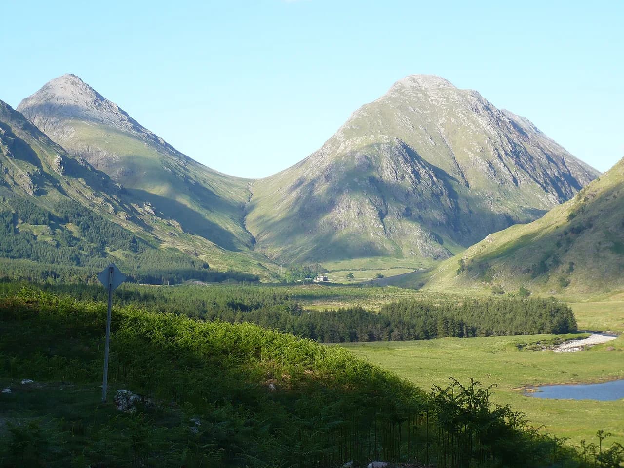
Glencoe is a narrow, steep-sided glen in the Scottish Highlands, with the village of Glencoe at its western mouth near Loch Leven. Walks fall into two clear families: sheltered forest and lochside paths of an hour or two, and steep hill routes that climb straight from the glen floor onto rocky tops. Pick the first if you have young children, a short window between rain showers, or legs that want an easy day after a bigger hill.
The hill routes suit hikers with steady cardio and, for the Pap of Glencoe, some comfort on hands-on rock. The Pap is only about 7 km (4.3 mi) round trip, but it climbs almost the whole way and finishes with a short scramble. Fast, fit walkers report around three and a half hours round trip; slower walkers and photographers should budget five hours or more.
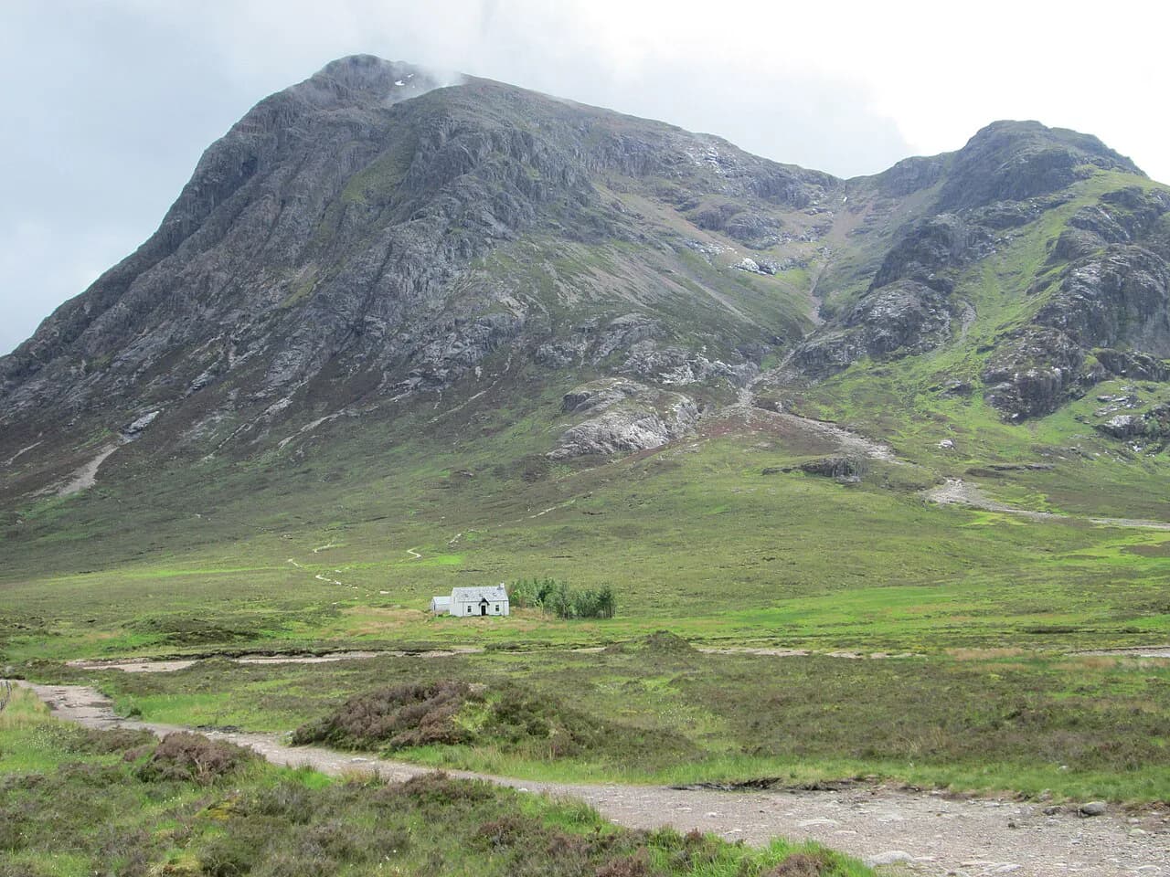
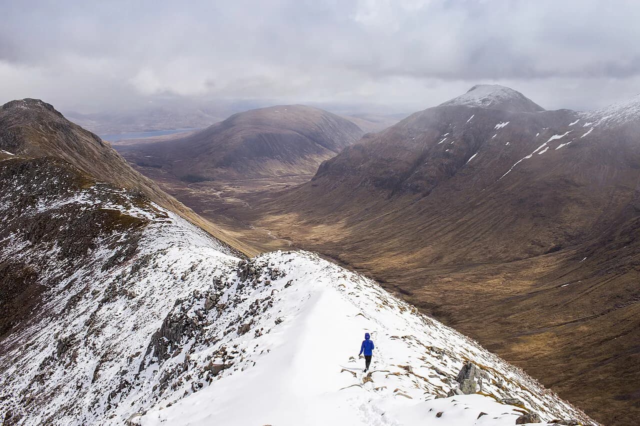
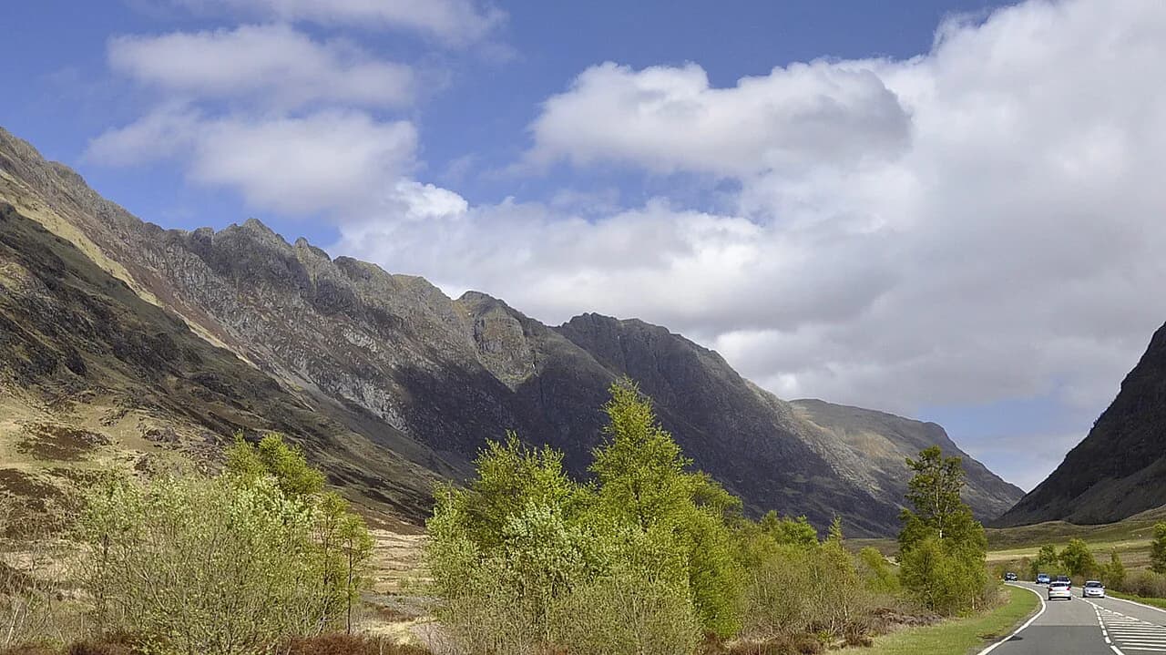
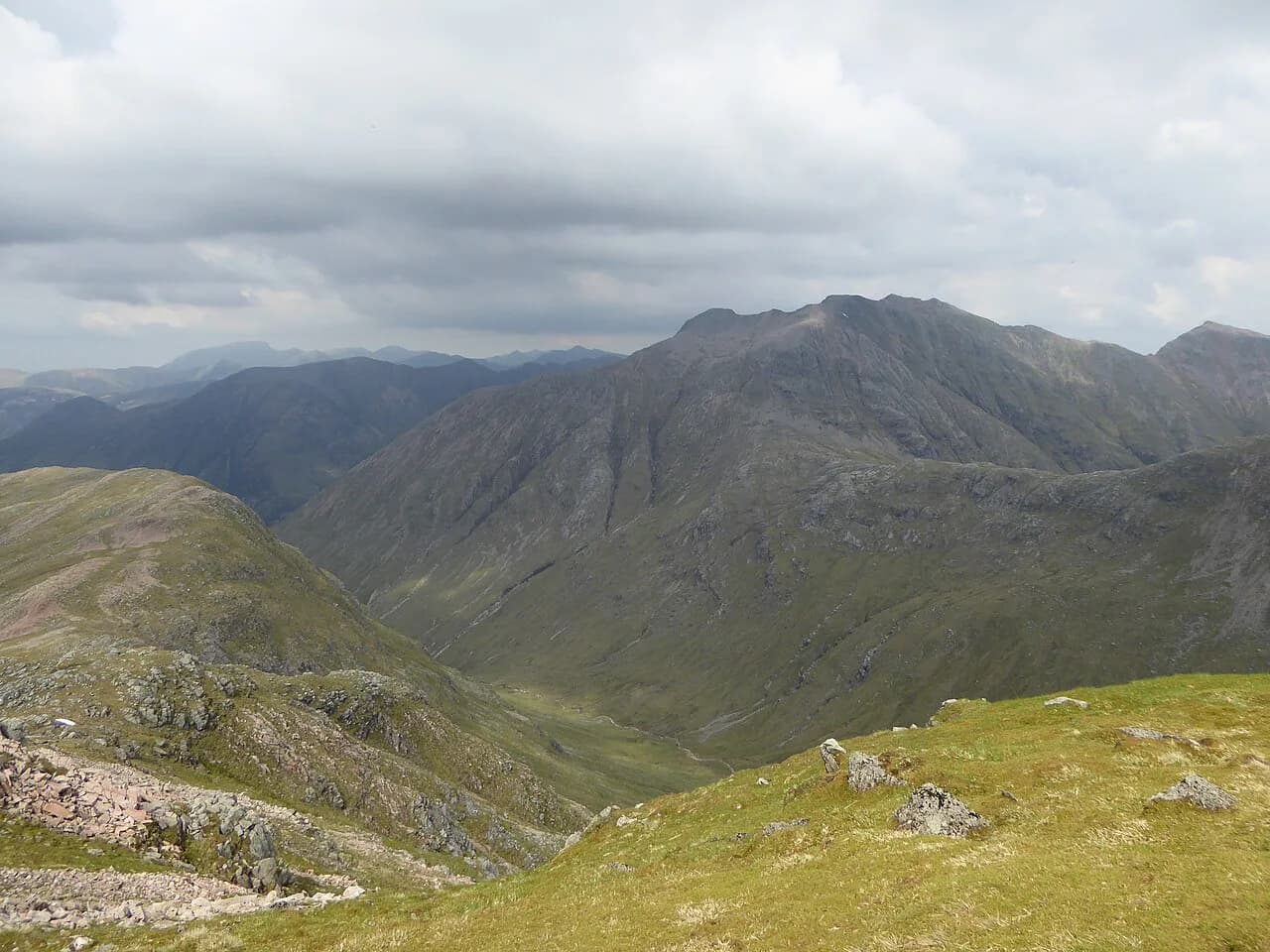
If you want a longer day on a bigger mountain, the glen's other classic routes are worth planning around: the shapely peak of Buachaille Etive Mòr at the glen's eastern entrance, the rock ridge of the Aonach Eagach on the north side, and the hidden corrie of the Lost Valley south of the road. All three are serious hill days rather than strolls.
Where Glencoe is and how to reach it
Glencoe sits roughly three hours' drive from Edinburgh, reached by heading north through Stirling and then west along the A82, which runs the length of the glen and passes through Glencoe village. Driving gives you the most flexibility, because the trailheads for the lochan, Signal Rock and the Pap are spread out and not all sit on a bus line.
Once you are in the glen, treat the car as your shuttle: the Pap of Glencoe trailhead is about a five-minute drive from Glencoe village, and Glencoe Lochan is on the edge of the village itself. Plan your day around one trailhead at a time rather than trying to connect the short walks on foot along the busy A82.
Short, easy walks: Glencoe Lochan Trail
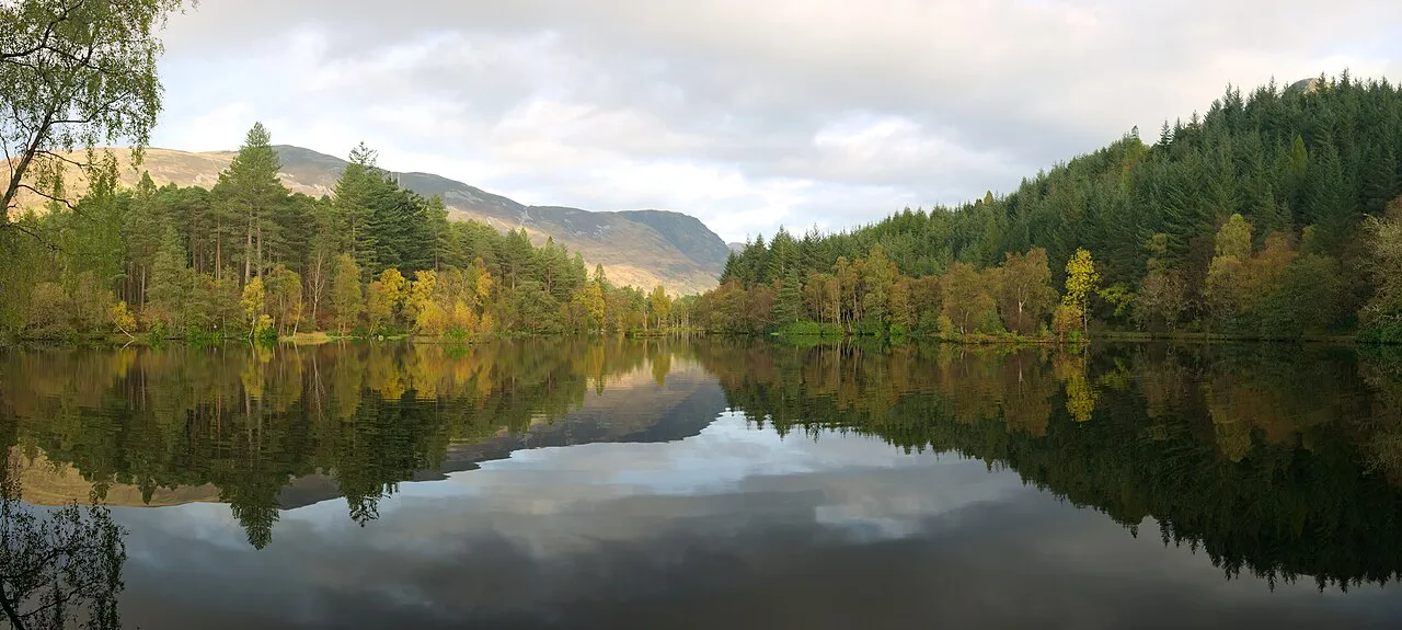
Glencoe Lochan is the most accessible walk in the glen, a circuit on the edge of the village through tall North American conifers around a small lochan. The paths are gentle enough for a rest-day stroll, and the conifers give shelter when wind and rain sweep the open glen. It is the obvious choice for a first hour in Glencoe or for anyone in your group who wants an easy leg-stretch while others climb.
Because it is short and close to the village, the lochan works well as an evening walk after a bigger hike, and it pairs naturally with a pub stop in Glencoe village afterwards. Bring shoes with grip rather than sandals; the woodland paths stay damp under the trees even when the glen floor has dried.
Signal Rock and An Torr
Signal Rock and An Torr sit in the woods near the village, a short walk that combines a low hill with a rocky viewpoint associated with the Jacobite story of the glen. The climb is brief and the paths are straightforward, which makes it a good option for children or for a day when cloud is sitting low on the tops.
Expect a short outing of an hour or two rather than a half day, and use it to look up at the bigger hills and judge whether the cloud is lifting. If the tops stay hidden, stay low: the forest walks give you a real day out without committing to exposed ground.
Ballachulish Quarry and Loch Leven
West of Glencoe village, the old quarry above Ballachulish gives a short walk with open views over Loch Leven and the mountains around its shores. It is a different atmosphere from the forest trails: more rock, more sky, and a good option on a clear but windy day when you want views without a long climb.
This walk suits a group that has already done a big hill and wants a leg-loosener before the drive home, and it shares a base with the village for food afterwards. Keep the walk short and save the longer glen routes for a day when you can start early.
Stob Mhic Mhartuin via the Devil's Staircase
The Devil's Staircase is the old military road that climbs out of the glen toward Kinlochleven, and combining it with Stob Mhic Mhartuin turns a historic track into a short hill day with wide views back over the glen. The zigzags of the old road are steady rather than technical, which makes this a reasonable step up for hikers who find the Pap too steep underfoot.
As with any open ground here, wind is the variable: the track and the hilltop are exposed, so a warm layer and gloves earn their place even when the village feels mild. Start early enough to be off the tops before the afternoon, when cloud and rain often build.
The Pap of Glencoe: trailhead and parking
The Pap of Glencoe, Sgorr na Ciche in Gaelic, rises above Glencoe village on the north side of Loch Leven. The walk starts a five-minute drive from the village, where there is a caravan park near the start you can park at. Look on the left side of the road for a metal gate between houses; that gate marks the beginning of the route.
There is no marked, built path from the gate, just a line up the hillside through thick grass, so arrive with boots on and walking poles stowed for the scramble later. Parking is informal rather than a formal car park with facilities, so plan on carrying everything you need for the day.
The Pap of Glencoe: distance, ascent and time
The Pap is about 7 km (4.3 mi) round trip, but almost all of that is uphill on the way out and steep downhill on the way back. Reported times vary widely, from about three and a half hours for a fast, fit hiker to five hours for someone who stops often. Four to four and a half hours is a fair middle estimate for most walkers.
The descent often takes longer than people expect: the same steep grass that slows your calves on the way up is slippery underfoot going down, and many hikers take nearly as long to descend as to climb. Budget your daylight for the return leg, not just the summit.
The Pap of Glencoe: route description and the final scramble
From the metal gate the route climbs immediately through thick grass, with no real trail, and this first section is the most taxing of the day. You gain height quickly above Glencoe village and Loch Leven, stopping often to catch your breath and let your calves recover. Even fit hikers find the gradient relentless rather than long.
Above the steep grass you reach a flatter stretch, with the stony dome of the Pap ahead and a small stream where you can sit, eat and take in the scale of the surrounding peaks. Stow your poles here, because the last stretch to the top needs hands on rock.
At the top of that stretch there is a short scramble. A direct line exists, but the path to the right spirals up to the summit and is the less exposed choice if you are unsure on rock. Take the spiral rather than forcing the direct line, particularly if the rock is wet.
Exposure, wind and underfoot conditions on the steep sections
The summit dome is exposed, and wind there can be strong enough to cut a visit short; gloves and a warm hat earn their place even in May, when the glen below can feel warm and sunny. Keep summit time short if the wind is pushing you around, and eat your lunch lower down in shelter.
Wear boots with ankle support: the risk on the Pap is not the climb but the descent, where steep grass and loose ground catch people out. Trekking poles help on the grass but must go away for the scramble, and in early spring meltwater running down the hillside makes the lower slopes wetter and greasier.
In winter the Pap usually calls for crampons rather than just boots, so treat it as a summer and shoulder-season walk unless you carry and can use winter kit.
Best months to hike in Glencoe
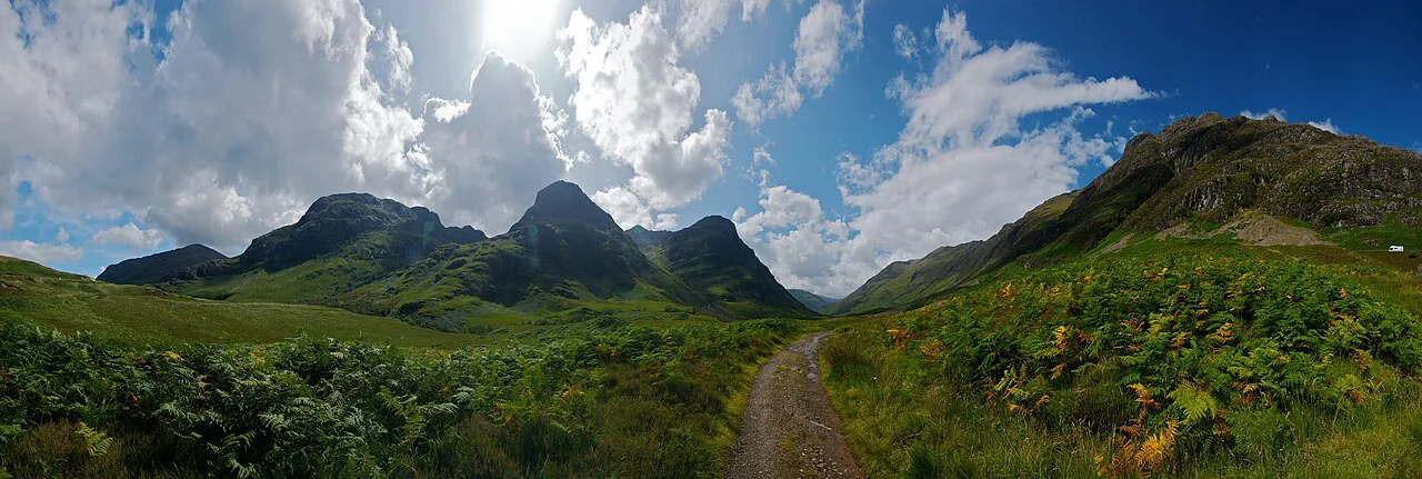
May to September is the best window on the Pap: long daylight, the best chance of dry weather, and no midges yet in May. May in particular brings sunshine on the tops alongside chilly summit winds, so pack layers rather than assuming a warm day.
July and August are warm and busy, and September usually brings quieter paths and softer light as the glen starts to turn. Late autumn and winter shorten the day and put snow and ice on the Pap, which changes the kit and the commitment.
What to wear and carry for a Glencoe hike
Layers, waterproofs, boots with ankle support and gloves are the core kit for any hill day here, with trekking poles for steep grass on routes like the Pap. Carry water and food for the full day, since the hill routes have no facilities on them and the walk out is as demanding as the walk in.
For the short low-level walks, a rain shell and grippy shoes are enough, but keep a warm layer in the pack for the moment cloud drops and the wind picks up. A map and compass or a charged phone with offline maps belong in the pack on all the hill routes.
Base villages for hiking in Glencoe
Glencoe village is the natural base: it sits at the western end of the glen, close to Glencoe Lochan, Signal Rock and the Pap trailhead, and has food and drink for the evening. Staying here shortens every morning drive and lets you walk from the door on rest days.
For the eastern glen routes, including Buachaille Etive Mòr and the Aonach Eagach, staying further east along the A82 shortens the approach. Wherever you base yourself, plan each day around one trailhead rather than zig-zagging the glen.
Hikes outside the glen worth a day
If you have spare days, the wider Highlands and the UK's other mountain regions offer their own character: the fells of the Lake District for rounded ridges and tarns, and the Welsh hills and coast for a different mix of ridge walking and sea views. If you are weighing up where to base a second trip, our guide to hiking in the Lake District covers the same choice of easy valley walks against steep summit days, and our Scotland hiking guide does the same for the Highlands as a whole. These are separate trips rather than add-ons to a Glencoe day, so build them into a longer itinerary.
Plan Your Visit
Match the day to the group: Glencoe Lochan, Signal Rock and the Ballachulish quarry walk for a short, sheltered outing, and the Pap of Glencoe or the Devil's Staircase when everyone has the legs and the weather is settled. Start early, carry layers and gloves, and keep summit time short when the wind is up.
The Pap rewards preparation more than fitness alone: boots with ankle support, poles stowed for the scramble, and a realistic four-hour-plus window. Check the mountain weather forecast before you set out, and save the bigger glen routes for a day with a longer, clearer window.
Explore more Glencoe hiking guides
Frequently Asked Questions
How long does it take to walk up the Pap of Glencoe?
Most walkers should plan on about four to four and a half hours round trip. Fast, fit hikers report around three and a half hours, while slower walkers and photographers take five hours or more, and the steep descent often takes longer than expected.
What are the easiest walks in Glencoe?
Glencoe Lochan is the most accessible, a gentle conifer-fringed circuit on the edge of the village. Signal Rock and An Torr is a short, low climb through woods, and the old quarry above Ballachulish gives open views over Loch Leven on a short outing.
Is the Pap of Glencoe suitable for beginners?
It suits hikers with steady cardio who are comfortable on steep grass and a short rock scramble. There is no built trail on the lower section, and the final pull to the summit needs hands on rock, with a spiraling path on the right as the less exposed option.
When is the best time of year to hike in Glencoe?
May to September covers the best of it: long daylight, the driest weather and, in May, no midges. May brings sunshine with cold summit winds, and winter on the Pap usually means crampons and a much shorter day.
What should I wear for hiking in Glencoe?
Boots with ankle support, a warm midlayer, waterproofs and gloves are the core kit, with trekking poles for steep grass. Even in May the summit wind can be bitterly cold, so pack a hat and gloves rather than relying on the temperature in the village.
Where do I park for the Pap of Glencoe?
Park at the caravan park near the start, a five-minute drive from Glencoe village. The route begins at a metal gate between houses on the left side of the road.
Sources
Trail notes for your next trip
Optional updates when we add or revise hiking guides.
You might also like
Continue reading
More guides you'll find useful