Signal Rock Walk, Glencoe: An Torr Woodland Route Guide
The Signal Rock walk in Glencoe crosses the River Coe into An Torr woodland, links three waymarked trails and reaches the Hill of the Sun in one to two hours.
On this page
Glencoe rewards hikers who leave the car, and the Signal Rock walk is the gentlest way to do it. From a small parking area just off the A82, a path crosses the River Coe into An Torr, an old woodland of moss-covered trunks where the road noise fades within a few minutes of walking.
It suits families, rest-day legs and anyone who wants views of the glen's peaks without committing to a full mountain day. Treat it as a short walk rather than a summit: the rewards are the forest, the river and the outlook from a modest rocky hill, not an airy ridge. If you want more low-level options elsewhere, hiking in Scotland offers plenty of short woodland routes.
This guide covers where the walk starts, the three waymarked trails and how to link them, the distance and time estimates, and when the conditions underfoot are at their best.
What the Signal Rock walk offers and who it suits
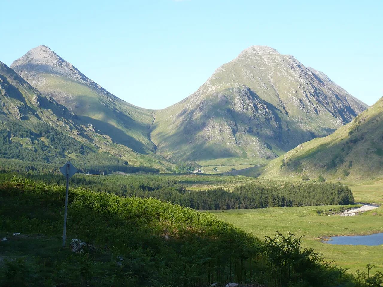
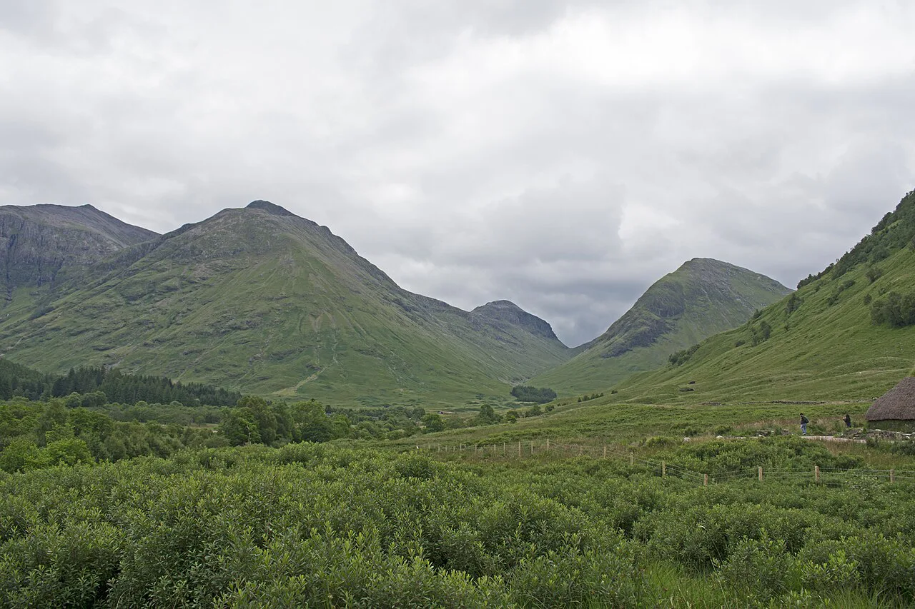
Signal Rock sits on Tom a' Ghrianain, the Hill of the Sun, a low, mossy rise above the River Coe. The walk to it passes through ancient woodland, crosses the river and gives you the peaks of the Three Sisters rising above the trees as you emerge from the canopy.
Because the climbing is gentle and the paths are short, this is a good choice for mixed-ability groups and for days when cloud sits low on the bigger tops. Hikers training for the longer glen routes use it as a leg-stretcher, but it is not a substitute for the steep ground on the surrounding mountains.
The main trade-off is height. You gain just enough elevation to see over the valley floor, so the view is a framed look at the glen rather than a panorama from above it. If you want summits, plan a separate day for the Pap of Glencoe or the ridges and keep this one for the forest.
Where the walk starts: the A82 parking area near the River Coe bridge
The start is just off the A82 where the road bends from running south to running east, coming from the north. A small drive drops down into a parking lot, and a trail leads from there into the trees.
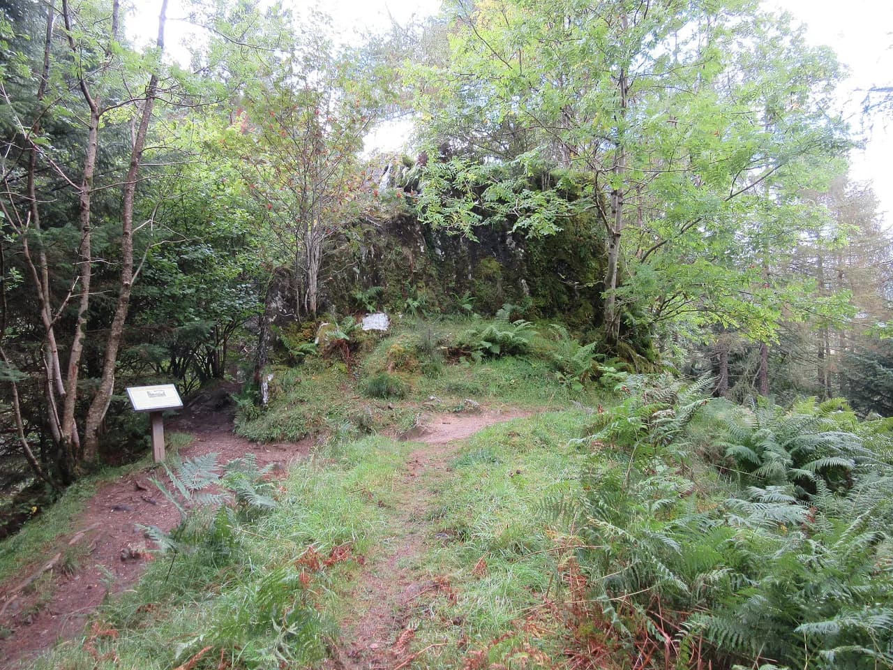
Cross the bridge over the River Coe and you reach an information board from the National Trust for Scotland that sets out the three interconnected trails. Use the board to orient yourself before setting off, because the routes share a starting corridor and branch apart deeper in the wood.
The parking area is small, which matters on busy weekends and in summer, so arriving early or late in the day gives you a better chance of a space. Plan around a car and check current arrangements with the National Trust for Scotland before you travel.
Waymarked trails: blue to Signal Rock, black through An Torr, yellow to Clachaig Inn
Three colored routes make up the network. The blue trail climbs to Signal Rock, the black trail winds through the heart of the An Torr woodland, and the yellow trail runs over toward the Clachaig Inn.
Rather than walking up to Signal Rock and retracing your steps, link all three. Head up the blue trail first, backtrack to the junction where blue and black meet, then follow the black through An Torr and pick up the yellow toward the inn — a route that gives you the rock, the quiet forest and a pub finish in one outing.
Download an offline map before you go. The waymarks are clear at junctions, but the woodland paths are numerous and a paper or phone map makes the linking sequence straightforward.
Distance, ascent and walking time
Estimates for the walk vary depending on which trails you include. One route measurement puts the Signal Rock outing at about 1.2 mi (1.9 km) with roughly 137 ft (42 m) of elevation gain, taking 0.5 to 1 hour.
Walking to Signal Rock and back through the woodland is generally given as 1 to 1.5 hours, while linking all three trails into a longer circuit takes a good 1.5 to 2 hours.
Treat these as a range rather than a fixed figure. The short version is a gentle hour; the full three-trail link is a half-day stroll with time at the viewpoints and a stop at the inn, and the low ascent means the difference between the estimates is mostly distance and lingering, not climbing.
Route description: bridge, woodland, the climb to Signal Rock
From the parking area the path drops to the River Coe and crosses the bridge into dense coniferous woodland. Moss covers the trunks, the turf is soft underfoot, and the trees swallow most of the sound from the road behind you.
The going stays easy and nearly flat through the trees until a sign points off toward Signal Rock. From there a gentle ascent climbs a soft, mossy hillside to the rock itself, so the only real uphill of the day comes at the end of this section.
The ground is mossy and can be slick after rain, which in Glencoe is a frequent condition; shoes with grip matter more here than boots with ankle support. Roots and stones sit under the moss on the steeper pull to the rock, so watch your footing on the way down as well as up.
Signal Rock and the Hill of the Sun
Tom a' Ghrianain translates as the Hill of the Sun, and the rock on its shoulder carries a thick layer of story. Tradition holds that it was a gathering place for the MacDonalds of Glencoe in times of danger, with beacons lit to warn of approaching threat.
Legend also ties the site to the signal that set off the Glencoe massacre of February 1692, though that connection is a story rather than a documented fact, and older interpretations link the hill to pagan worship of the sun. Take the tales as atmosphere rather than history.
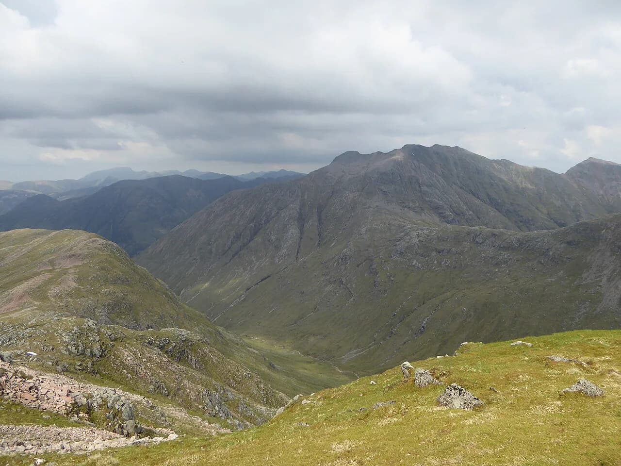
The rock itself is a modest outcrop, but it stands clear of the trees and opens up a view of the sisters of Glencoe across the glen. It is the natural place to stop, and on a clear day the contrast between the dark forest below and the bare peaks above is the image most people carry home.
An Torr woodland and views of the Three Sisters
An Torr is the old wood below the rock, and it has a character of its own: multi-trunked trees thick with moss and lichen, little underbrush, and a floor of reddish leaf litter that makes the green moss stand out. It is the kind of forest that rewards a slow pace.
The black trail winds through the heart of it, past a hillside spilling shattered quartz onto the path, and out into the open where the sky widens. From there the Three Sisters of Glencoe appear above the trees, sometimes hung with mist and sometimes picked out by sun.
If you only have time for one branch, choose the black trail for the woodland and the blue for the view; they are close enough together that skipping either leaves out half the character of the walk.
Linking An Torr with the Clachaig Inn
Where the woodland paths meet the yellow trail, the route runs over to the Clachaig Inn, a well-placed stop for refreshment at the end of the circuit. The inn sits within reach of the trail network, which is why linking all three colors makes such a satisfying short day.
Plan the direction so the inn comes last rather than first, and leave enough daylight to walk back to the parking area afterward. The return is short, but it is through woodland where the light fades early under the canopy.
When to go: seasons, weather and underfoot conditions
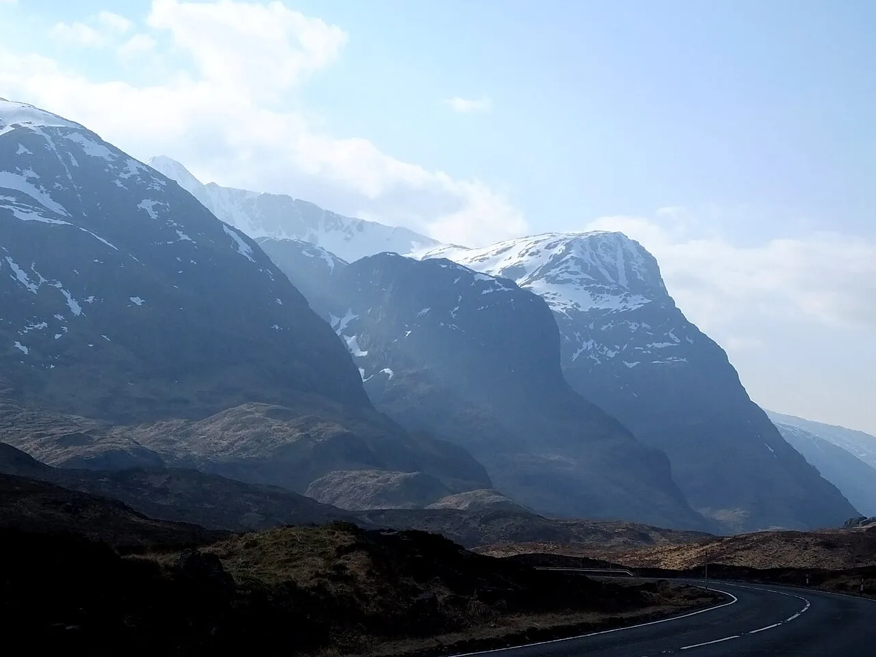
This is a year-round low-level walk, which makes it one of the more dependable options in Glencoe when cloud, wind or snow closes the higher routes. Snow-capped tops above a green forest is one of the walk's best looks, and it happens in the colder months.
Rain comes and goes quickly here, leaving mist curling through the branches, so waterproofs belong in the pack whatever the morning forecast says. The paths are mossy and hold water, and the pull up to Signal Rock is the slickest part after a wet spell.
Summer brings long daylight and the busiest parking; spring and autumn give you the moss at its most vivid and quieter paths. There is no exposure on this route, so the weather that should change your plan is heavy rain and strong wind rather than cold alone.
Staying in Glencoe for this walk
The walk is short enough to fit around a bigger day, but basing yourself in the glen lets you pair it with a longer outing on the same trip. The Lost Valley and the Pap of Glencoe are the well-known harder walks in the same valley, and the Pap is the one to look at if Signal Rock leaves you wanting a real summit.
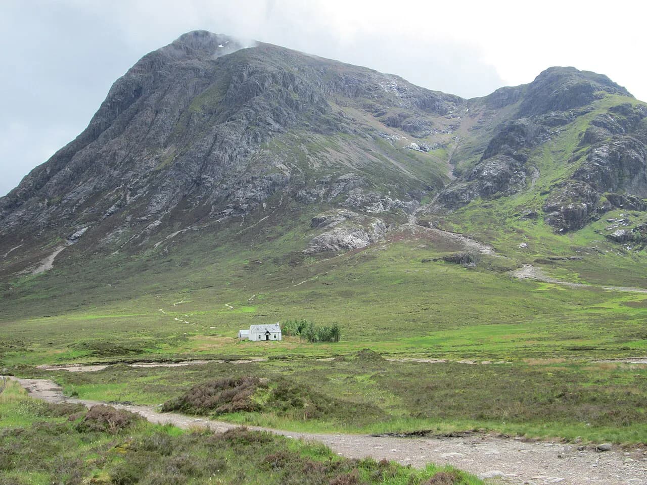
For ridge scrambles beyond the glen floor, the Buachaille Etive Mòr walk gives you a full mountain day with steep, exposed ground, a useful step up from the forest paths here.
Wherever you stay, keep the drive to the trailhead short: the parking area is small and the A82 is the only road through, so a base in the glen itself saves you a long approach before a two-hour walk.
Plan Your Visit
The Signal Rock walk delivers a river crossing, an old mossy wood and a view of the Three Sisters in about two hours, with enough flexibility to stretch it to a pub finish or trim it to a single hour. It is the right pick when the tops are in cloud or when your legs need an easy day between bigger routes.
Start from the A82 parking area, read the National Trust for Scotland board, then link blue, black and yellow rather than walking to the rock and back. Carry grip-friendly footwear and a waterproof, and treat the massacre and beacon stories as legend while you enjoy the view.
Frequently Asked Questions
How long does the Signal Rock walk take?
Estimates range from about 0.5 to 1 hour for the shortest route to Signal Rock, 1 to 1.5 hours for the rock and woodland, and 1.5 to 2 hours if you link all three waymarked trails including the yellow path to the Clachaig Inn. The differences come mostly from distance and time spent at the viewpoints rather than from climbing.
How far is the Signal Rock walk?
One route measurement gives about 1.2 mi (1.9 km) with roughly 137 ft (42 m) of elevation gain for the Signal Rock outing. Linking all three trails adds distance, so plan on a longer walk if you want the full An Torr circuit and the inn.
Where do you park for the Signal Rock walk?
A small parking lot sits just off the A82 where the road bends from running south to running east, with a short drive leading down to it. The lot is small, so arrive early or late in the day on busy dates. A path from the lot leads to the bridge over the River Coe and the National Trust for Scotland information board.
What is Signal Rock?
Signal Rock is an outcrop on Tom a' Ghrianain, the Hill of the Sun, above the River Coe in Glencoe. Tradition makes it a gathering place of the MacDonalds of Glencoe where beacons warned of danger, and legend ties it to the signal for the 1692 massacre; both are stories rather than settled history. From the rock you get a clear view of the Three Sisters.
Can you walk from Signal Rock to the Clachaig Inn?
Yes. The yellow trail runs from the woodland paths over to the Clachaig Inn, and linking it with the blue and black trails makes a circuit of roughly 1.5 to 2 hours. Plan the inn as the last stop so you still have daylight for the walk back through the trees.
Is the Signal Rock walk suitable for beginners and families?
It is one of the gentlest walks in Glencoe, with easy going through the forest and only a short, gentle climb to the rock. The mossy ground can be slippery after rain, so grip matters, but there is no exposure and no scrambling. It works well as a rest-day walk between bigger mountain days.
Sources
Trail notes for your next trip
Optional updates when we add or revise hiking guides.
You might also like
Continue reading
More guides you'll find useful