Pap of Glencoe Hike: Route, Scramble and Trailhead
The Pap of Glencoe is a short, steep hike with an optional rocky scramble near the top. Here is the route, distance, ascent and where to start.
On this page
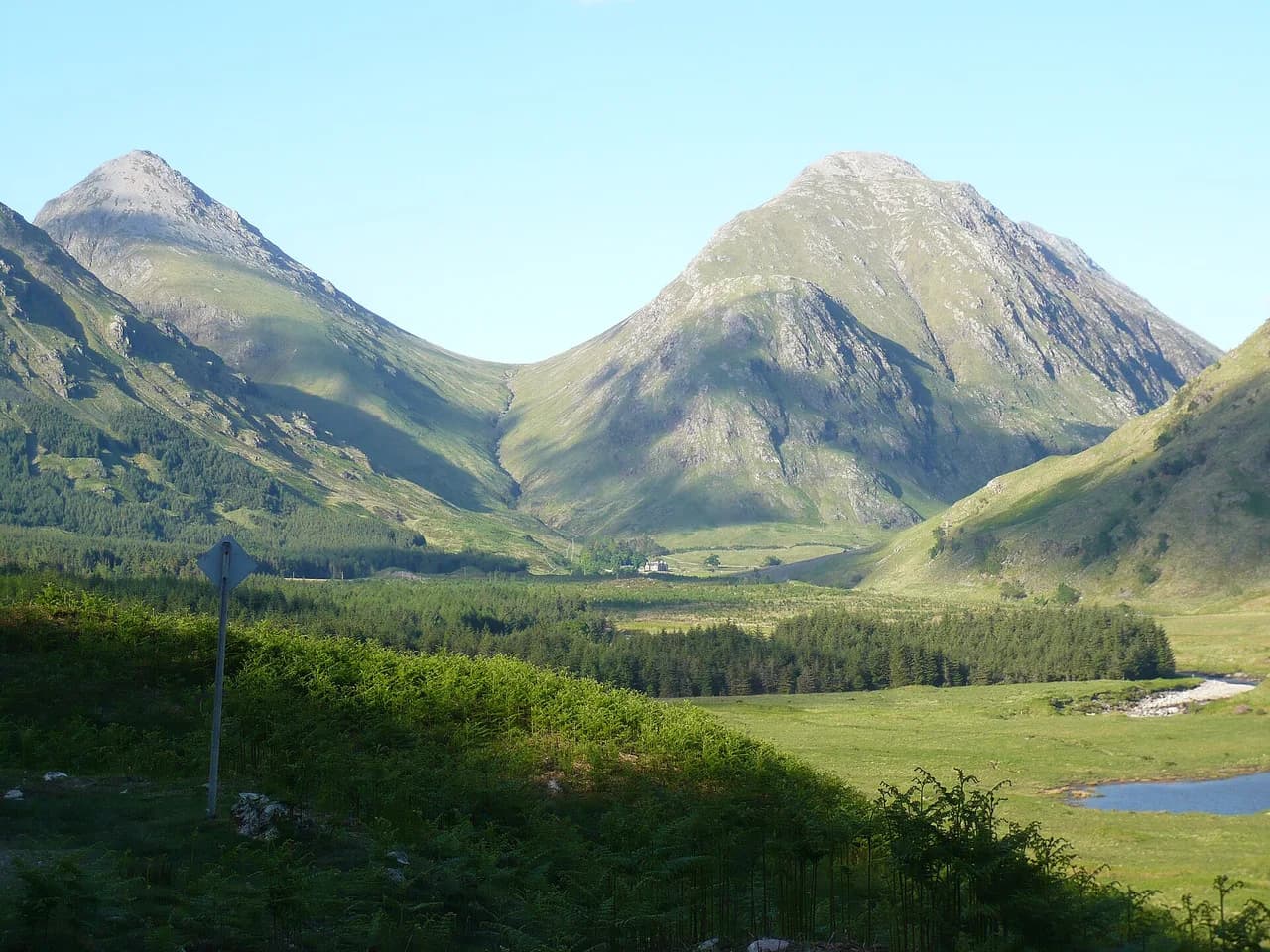
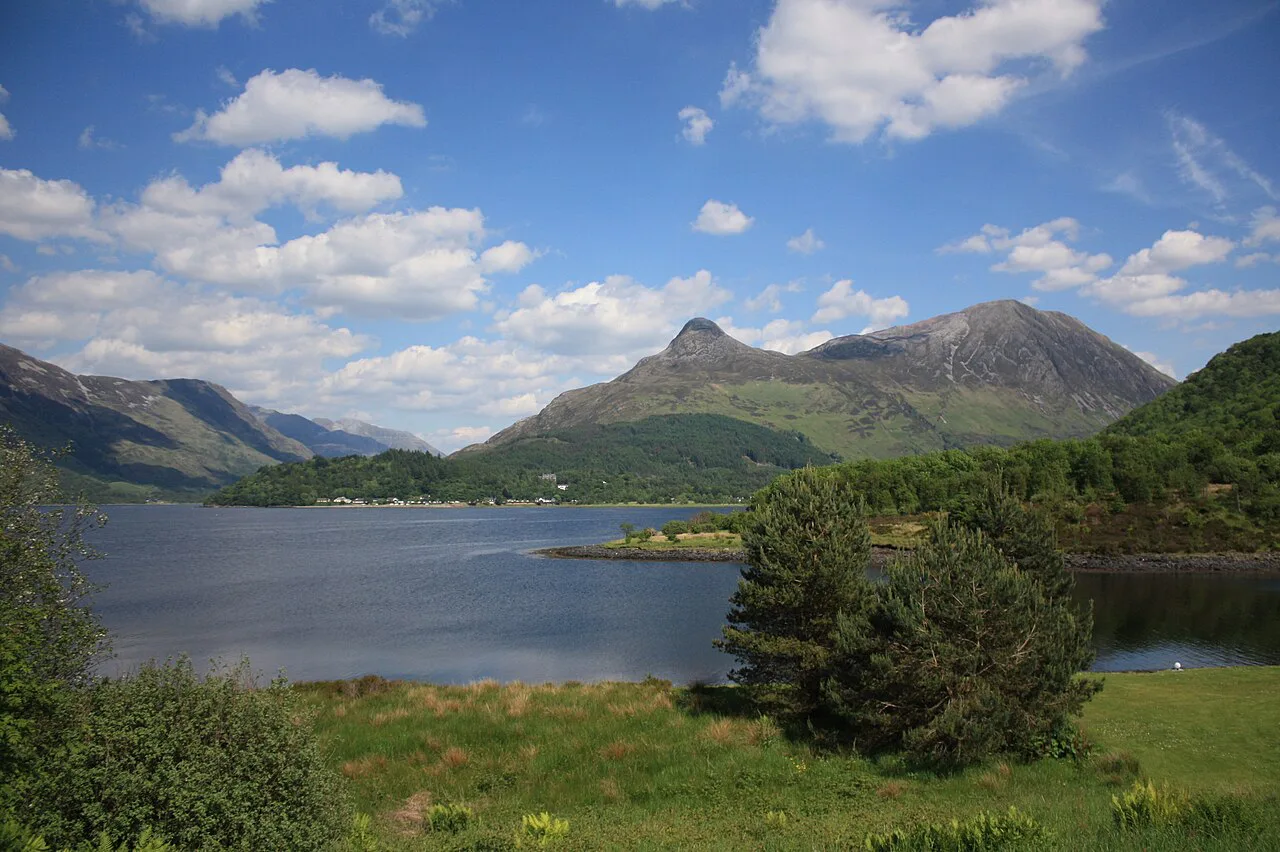
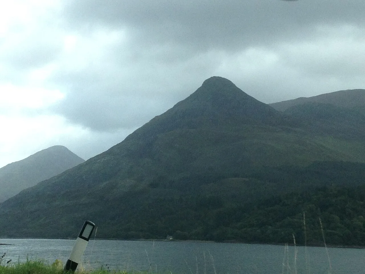
The Pap of Glencoe is the conical hill that stands over Glencoe village at the western end of the Aonach Eagach ridge, and its summit opens views across Loch Leven, the Mamores and Beinn a' Bheithir. It suits fit hikers with some hill experience who want a half-day outing rather than a full mountain day. The climb is steep almost from the first step, and the last stretch is a rocky scramble you can choose to skip.
What makes the Pap worth the effort is the shape of the day: a short approach from the village, a steady pull up a good path, and a final cone that looks unclimbable from below. Stop on the flat grassy ground beneath the top and you still get the loch-and-ridge panorama without any hands-on rock. If you want a bigger day, the Munro of Sgòrr nam Fiannaidh next door can replace or extend the Pap.
Pap of Glencoe at a glance
The main route runs 6.8 km (4.2 miles) with 727 m (2,385 ft) of ascent and takes most hikers around 3 to 5 hours, depending on fitness, stops and how the scramble treats you. The path is good for most of the way, but the final 100 m or so is steep, rocky ground that will not suit everyone. Treat the Pap as a short, sharp hill day with one technical sting near the top rather than an easy stroll.
Route-tracking apps list shorter variations of the same hill, including a 6.15 km loop with 670 m of ascent and a 6.9 km loop from Glencoe village with 670 m, both rated moderate. A longer 9.59 km loop from the Red Squirrel Campsite adds a waterfall and around 700 m of ascent. Use these as alternatives to the standard out-and-back when you want a different start or a slightly gentler day.
Trailhead and parking
The usual start is a car park near Glencoe village with a donation box, so bring a few pounds in cash for the box rather than expecting a ticket machine. It fills up, and arriving early gives you a space and a calmer start on the path. The ground is sloped, with the flattest area closest to the road.
You do not need a car to begin the walk: the Pap is reachable on foot from Glencoe village and from the surrounding hostels and hotels. That makes the village a sensible base if you want to leave the vehicle parked for the day. Staying in the village also puts the Clachaig Inn's Boots Bar and the Glencoe Farm Shop and Cafe within reach for afterwards.
Getting there without a car
Plan the day around walking from your accommodation in or near Glencoe village, then following the Orbital track away from the village to pick up the hill path. Because the start is on foot from the village, there is no lift or cable car to shorten the climb, and the ascent is earned from valley level. Build the village-to-trailhead stretch into your timing so the 3 to 5 hours on the hill is not squeezed by the walk back.
Route description
Leave the car park and follow signs for the Orbital track heading away from Glencoe village, walking parallel to the road for roughly 800 m. Go through the gate to the farm signed PAP. There are sometimes cows in the field, so walk slowly through them without staring or trying to pet them.
Beyond the farm, look for the modern wooden bridge on your right and follow the path to the trees before turning up the hillside. The route is obvious but rocky in places, and it climbs steadily to the flat area below the rocky cone. That flat shelf is the natural turnaround point for anyone not scrambling.
Above the shelf the ground steepens into the final rocky section. If you are continuing, aim for the strip of red rocks on your left rather than going straight up, then follow the path as it contours northwest (right) before gaining the summit from the west. The safest descent is back the way you came, which keeps you on known ground.
The summit scramble
The scramble is short but genuine: steep, rocky ground where you will use your hands, and it cannot be avoided if you want the very top by the main line. Good footwear matters more here than anywhere else on the route. Hikers who are unsure can stop at the grassy shelf below and still enjoy the view.
An exit directly off the Pap to the west exists for experienced hikers in good footwear, but it is a tough down-climb over big rock slabs, and the path lower down is very muddy and slippery. For most parties the out-and-back line is the better trade: a little repetition in exchange for terrain you have already read.
Distance, ascent and time
Sizing the day is straightforward once you pick your objective. The Pap alone is 6.8 km with 727 m of ascent in around 3 to 5 hours; the figures below let you compare it with the Munro next door and with the combined outing.
Sgòrr nam Fiannaidh on its own is 8 km with 978 m of ascent and takes roughly 4 to 6 hours, with a short ridge walk on the approach and wide views over Glen Coe. Combining the Pap and Sgòrr nam Fiannaidh gives 10.3 km and 1,240 m of ascent, a 5 to 6+ hour day. Choose the single summit if you are new to Scottish hills or watching daylight.
Sgòrr nam Fiannaidh as an alternative or extension
Sgòrr nam Fiannaidh is the Munro at 967 m (3,173 ft) to the southeast of the Pap, and choosing it instead of the Pap avoids the scramble altogether on the way to a higher summit. The trade is a longer day with more ascent. Fit parties can link both, gaining the ridge views over Glen Coe without committing to the Pap's rocky cone twice.
Difficulty and exposure
The route is achievable for anyone fairly fit with some hiking experience, with the caveat that the top section is steep and rocky and the summit is exposed. Wind and cloud can change the feel of the final cone quickly, so carry a shell and be ready to turn around on the shelf. Sturdy boots with grip are the right footwear for the red-rock line and the slabs.
Navigation
There are a few path options up the Pap and few signs on the main path, so it is easy to drift onto the wrong line, particularly in mist. A digital map on your phone with the route loaded earns its place here, and a paper map as backup costs little. Mark the farm gate, the wooden bridge and the red-rock strip as your key waypoints.
When to go
Short daylight and changeable Highland weather shape the day more than any calendar date, so pick a slot with a long weather window rather than a fixed month. Ground conditions matter too: the muddy, slippery path on the western exit is worse after rain, and the rock on the summit cone demands care when wet. Check a mountain forecast for the summit before you set off, and note the daylight hours left for the descent.
The nearest forecasts cover Sgorr am Fiannaidh for the Met Office, the Pap's summit and base through Mountain Forecast, and the West Highlands through MWIS. Those three give you a cross-check on wind, cloud and precipitation before committing to the scramble. If the summit forecast is poor, the grassy shelf and the village walks still make a reasonable day.
Descent and afterwards
Come back down the way you came, then head for the Boots Bar at the Clachaig Inn for lunch or a drink, or the Glencoe Farm Shop and Cafe for coffee and local produce. Both are the natural finish to a short hill day from the village.
Other hikes around Glencoe
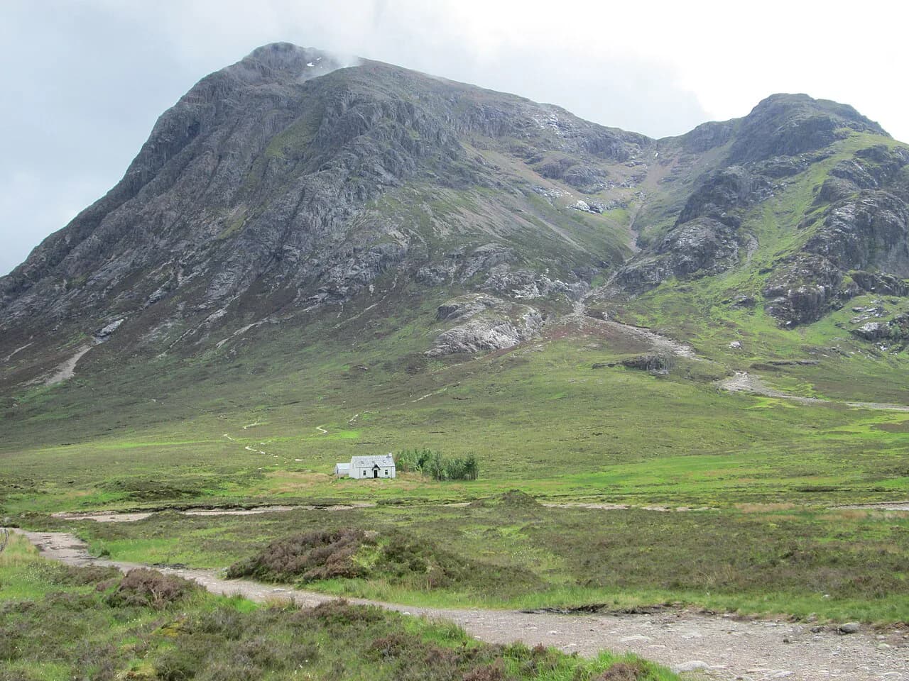
If the Pap leaves you wanting more, the Hidden Valley is a less steep alternative, while the Three Sisters is tougher and more technical. Buachaille Etive Mòr is the most famous mountain in the glen and is shorter and less technical than the Sisters, making a good next step up from the Pap. For a different short, sharp hill day, our Scotland hiking guide covers the trails and bases worth comparing. For the full spread of options, the hiking in glencoe guide covers the valley's main routes.
Plan Your Visit
Decide before you leave the car park whether you are summiting, stopping at the grassy shelf, or switching to Sgòrr nam Fiannaidh, because each choice sets a different distance, ascent and time budget. Arrive early for a space, carry cash for the donation box, and load a digital map for the unsigned junctions.
The Pap rewards a short, focused day rather than a rushed one: give the scramble the time it needs, keep the out-and-back descent, and finish in the village. For a bigger outing, Buachaille Etive Mòr Hike is a natural next step in the same glen.
Frequently Asked Questions
Is the Pap of Glencoe a Munro?
No. The Pap itself is not a Munro, but its higher neighbour Sgòrr nam Fiannaidh, at 967 m (3,173 ft), is. You can choose Sgòrr nam Fiannaidh instead of the Pap to avoid the scramble, or combine both for a longer day of about 10.3 km with 1,240 m of ascent.
Why is it called the Pap of Glencoe?
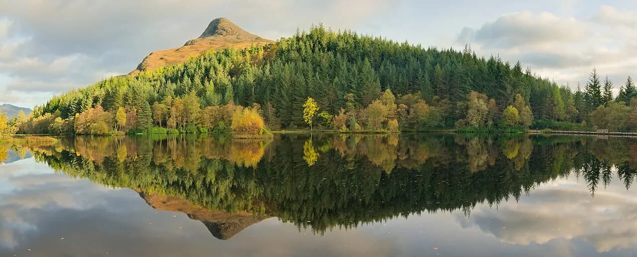
The Gaelic name Sgòrr na Cìche translates as the Peak of the Breast, a reference to the hill's distinctive conical shape above Glencoe village. The English name keeps that picture: a rounded cone standing apart at the western end of the Aonach Eagach ridge.
How hard is the Pap of Glencoe?
It is achievable for fairly fit hikers with some hill experience, but it is steep from start to end. The final 100 m or so is a rocky scramble that will not suit everyone, and you can stop at the flat grassy shelf below the cone and still get the summit views.
How long does it take to walk the Pap of Glencoe?
Most hikers take around 3 to 5 hours for the 6.8 km route with 727 m of ascent, depending on fitness, stops and pace on the scramble. Add time for the walk from Glencoe village if you are starting on foot from your accommodation.
Where do you start the Pap of Glencoe hike?
The usual start is the car park near Glencoe village with a donation box, reached by road or on foot from the village and nearby hostels and hotels. From there you follow the Orbital track away from the village, pass through the farm gate signed PAP, and continue to the wooden bridge and the trees.
Can you skip the scramble at the top?
Yes. Many hikers stop at the flat grassy area below the rocky cone and enjoy the views there without touching the scramble. If you want a summit without it, Sgòrr nam Fiannaidh is the alternative, though it is a longer day with more ascent.
Do you need a map for the Pap of Glencoe?
Bring one. There are a few path options and few signs on the main route, so a digital map with the route loaded, plus a paper backup, keeps you on the intended line, especially in cloud. Mark the farm gate, wooden bridge and red-rock strip as key waypoints.
What is there to do after the hike?
Head to the Boots Bar at the Clachaig Inn for lunch or a drink, or to the Glencoe Farm Shop and Cafe for coffee and local produce. Both sit close to the village and round off a short hill day nicely.
Sources
Trail notes for your next trip
Optional updates when we add or revise hiking guides.
You might also like
Continue reading
More guides you'll find useful