Easy Walks in Glencoe: 6 Short Hikes With Big Views
Easy walks in Glencoe that still deliver the drama: a flat lochans circuit, a woodland history trail, a chairlift leg-up and a rocky Lost Valley scramble.
On this page
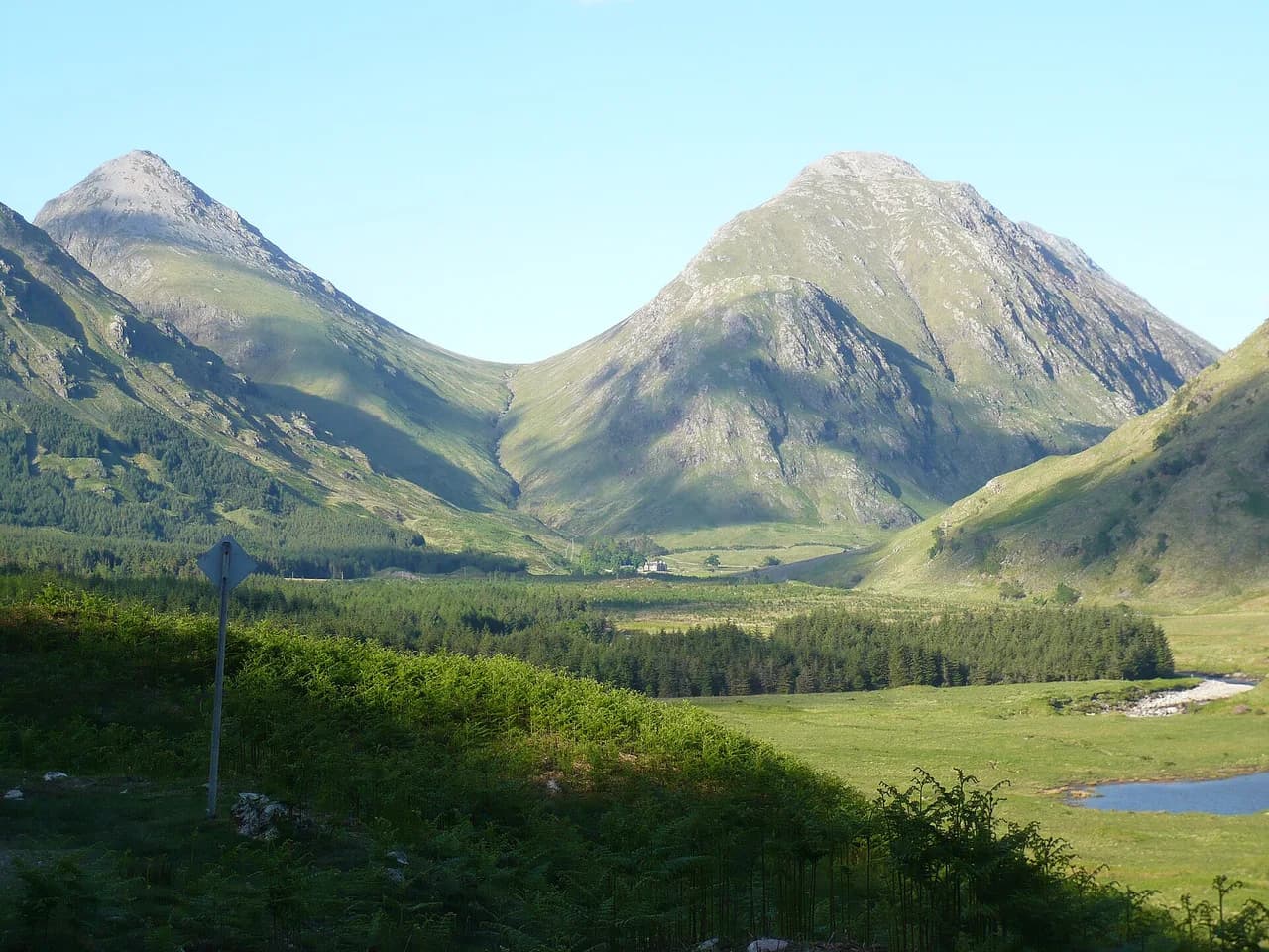
Glencoe packs some of Scotland's most dramatic mountain scenery into a single glen, and you don't need to climb a Munro to enjoy it. The short walks here range from a flat circuit around a woodland lochan to a chairlift ride that delivers you onto high ground, which makes the area work for families, first-time visitors and wet-weather days when a long summit push makes no sense. Treat the easy walks as a way to sample the glen's atmosphere and save the bigger peaks for a day when you have legs and weather on your side.
Why Glencoe suits short, low-effort days
Glencoe is a deep, road-hugging glen, so most of the easy routes start within a few minutes of the A82. You can string a lochan stroll, a woodland history trail and a waterfall walk into a single relaxed day, or pick one for a rest day after a bigger outing. The trade-off is that the biggest views come with some undulation and rough ground rather than a flat boardwalk, so plan for muddy patches and short steep sections even on the shorter trails. For a full picture of what walking here involves once you want to go further, the hiking in glencoe guide covers the longer routes and logistics.
Getting around without a long approach
The main road north from Glasgow or Edinburgh runs straight through the glen, and the easy walks start from free car parks and lay-bys beside the A82; on busy tourist days those small car parks fill quickly, so arriving early helps. If you're relying on public transport, the Citylink bus between Glasgow and Uig on Skye passes through Glencoe and stops at the visitor centre, which puts you within reach of several short trails. The nearest train station is Fort William to the north, so a bus plus local planning is the practical car-free option. Check the Citylink and National Trust for Scotland visitor centre pages for current schedules and access before you commit.
Glencoe Lochan: the flat circuit and the short climb above it
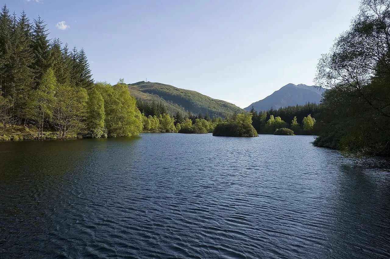
Glencoe Lochan sits just beyond Glencoe village, reached by a short drive or walk through the woods. The lochan was created by Lord Strathcona in the 1890s to remind his Canadian wife of home, and the conifers planted around it give the circuit an unexpectedly North American feel. There are three routes: the flat Lochan Trail skirting the water, a longer woodland trail through the conifers, and the most strenuous option, a mountain trail climbing to the top of Stac a'Chlamhain; that climb should take no longer than an hour, according to Scotland's Stories.
The flat lochan circuit is the most visually rewarding of the three, with mountain reflections in still water and a surface suitable for all levels of fitness and mobility. The higher mountain path is an option rather than a must: the mature trees now block much of the view that once justified the climb, so don't feel you're missing the best of it if you stay low. This is also the calmest of the easy walks, a quiet contrast to the wilder glen beyond the village.
An Torr and Signal Rock: river crossing and woodland history
The An Torr and Signal Rock walk begins at a car park just off the A82, crosses a wooden bridge over the River Coe and climbs into characterful woodland with the mountains behind you. Signal Rock sits on Tom A' Ghrianain, the Gaelic 'Hill of the Sun', and tradition links it to the MacDonalds of Glencoe as a gathering point and a place where a warning beacon would be lit. The route is 1.5 miles (about 2.4 km) round trip, according to Scotland's Stories, with a lot of ups and downs but well-made paths that keep it within reach of most walkers.
The rock is unmistakable when you reach it, with an information board confirming the destination, and steps around the back let you climb on top. Expect rocky and muddy patches on the woodland path, especially after rain, so boots or grippy shoes are worth the weight. From the rock you can return the way you came or continue to the small hill of An Torr for a slightly longer loop.
Glencoe Mountain Resort: a chairlift to high ground
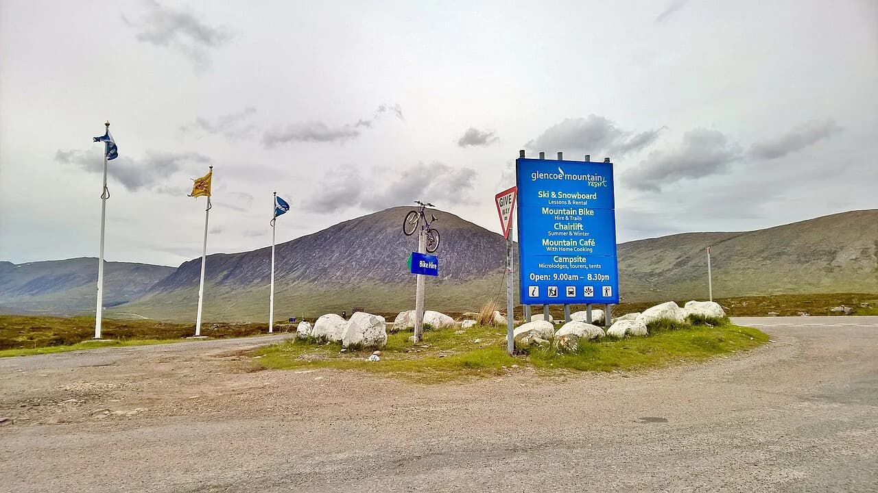
If you want the feeling of standing high on a Scottish mountain without the climb, Glencoe Mountain Resort runs a chairlift described by Adventures Around Scotland as a 12-minute ride that carries you 2,200 feet (about 670 m) up the mountain. From the top you can follow easy or moderate trails for even better views, making this the most efficient way to get a high-level experience on an easy day. It's a genuine option for walkers who are not mountaineers, and the best and only way in the glen to gain that height without doing the ascent yourself. Check the resort's current operating season before you plan around it, since the chairlift runs on its own schedule.
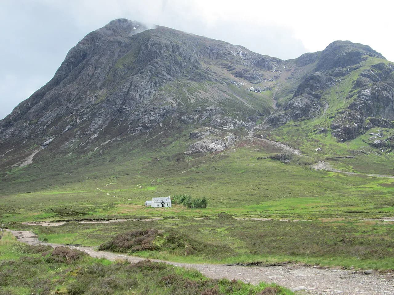
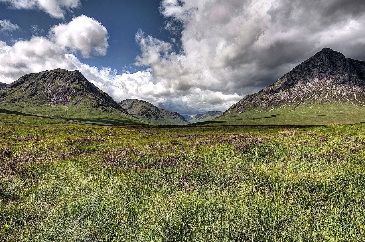
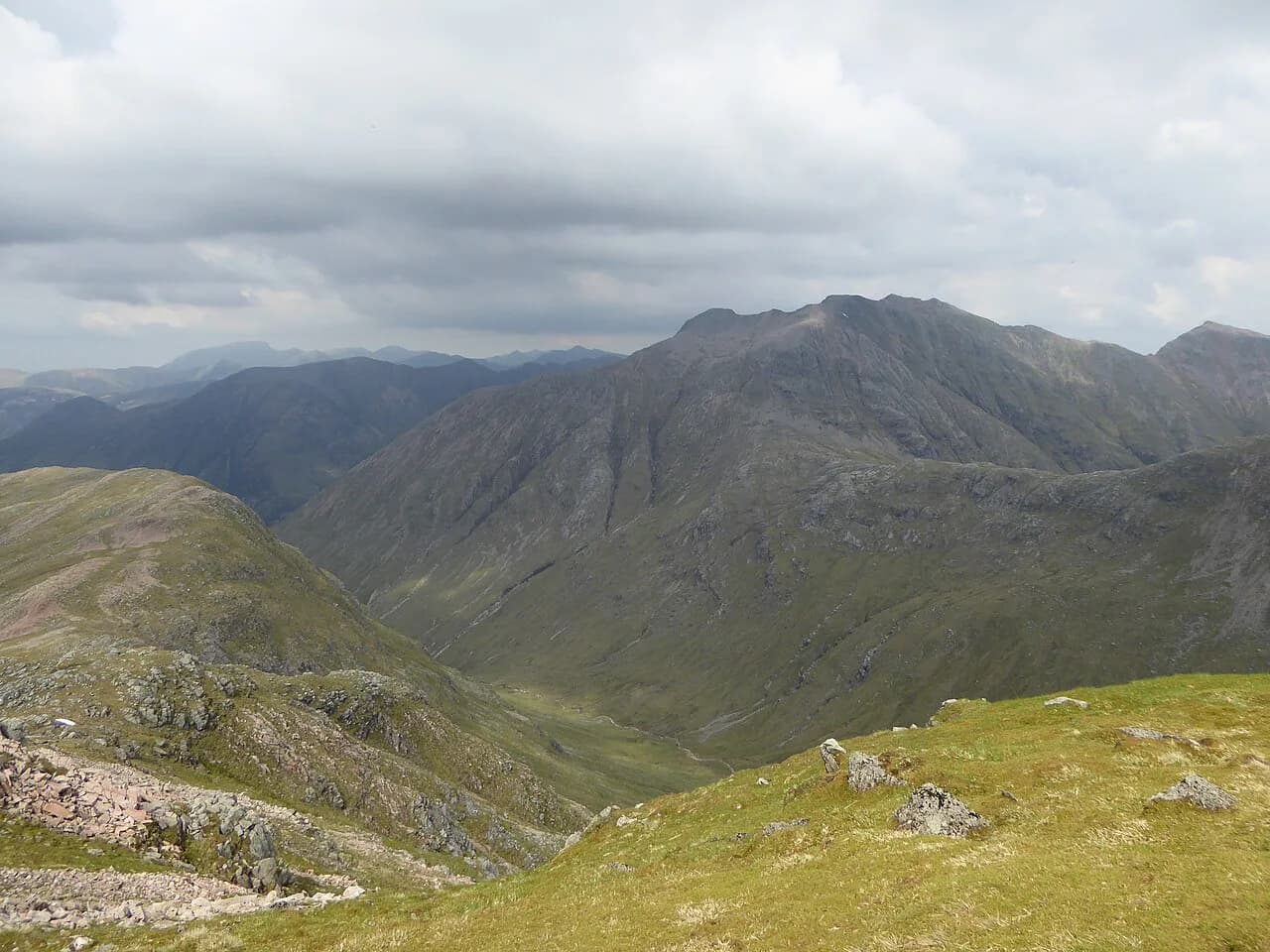
At the top, the easy trails give you the view without the effort, but the ground is still mountain terrain, so wind and cloud can change conditions quickly and the moderate options ask for more sure footing. A ridgeline view toward Buachaille Etive Mòr is one of the rewards, and photographers should expect to work the angle to frame the peak neatly from the chairlift top. If you'd rather earn that summit properly, see the Buachaille Etive Mòr route for the full ascent.
Grey Mare's Tail above Kinlochleven: the waterfall walk
The Grey Mare's Tail above Kinlochleven is a short walk to a waterfall, reached by heading past the entrance to Glencoe village and around Loch Leven to Kinlochleven. From the village a very short walk takes you to the falls, and you can continue higher around the top of the waterfall for views down Loch Leven, though that section is steep and not for everybody. Don't confuse it with the much larger Grey Mare's Tail near Moffat in the Borders; this is the Kinlochleven one. If you want to make a day of it, Kinlochleven also works as a quieter base for this side of the glen.
The Lost Valley (Coire Gabhail): short but not a stroll
Coire Gabhail, the Lost Valley, is the most famous short walk in Glencoe, and it's worth being honest about what it asks of you. Start from any of the lay-bys facing the Three Sisters; the route is only a few hours return, but it is very rocky and uneven, with boulders, occasional fallen trees and some scrambling. It is not a walk for all abilities and shouldn't be treated as a casual stroll, but the flat, dramatic valley floor at the end repays the effort. Once in the valley, the ground is reasonably dry underfoot, and the scale of the enclosure makes it clear why the MacDonalds were said to hide cattle here.
A word of warning on the Lost Valley: the midges can be brutal in the warmer months, especially in still, damp air, so time your visit for a breezy or cooler day. The route is also exposed to the weather, and the rocky ground slows you down more than the distance suggests, so allow more time than a simple length comparison would imply.
Walks to save for a bigger day
The Pap of Glencoe is a steep, rough, rocky hill with a prominent summit and unbelievable views, according to Scotland's Stories, but it is a big step up from the easy walks and best kept for a day with good weather and fresh legs. Bidean nam Bian, the highest mountain in the area, is only 11 km (about 7 miles) long but takes around 9 hours for the full route taking in Stob Coire Sgreamhach, with steep climbs, a bit of scrambling, false summits and ridge walking. These are not rest-day options. For the detail, the Bidean nam Bian Hike page covers the route. Similarly, the Aonach Eagach Ridge is famously the narrowest ridge walk in Britain and takes around 9 hours to traverse just 6 miles on a good day, with no real escape route once you start.
The nearby Munro of Buachaille Etive Beag is a gentler introduction to high ground than its larger neighbour and a reasonable step for fit walkers ready to trade an easy day for a summit. Beyond the glen, the easy walks in Brecon Beacons offer a different flavour of short hiking if you're linking trips in Britain. The West Highland Way also passes through Glencoe on its 96-mile route from Milngavie to Fort William, so the glen is an easy section to sample even on a short visit.
When to go: midges, daylight and snow
The easy walks around Glencoe run year-round, but the experience changes a lot with the seasons. Midges can be fierce in the warmer months, especially on still, damp days, so bring repellent and plan a breezy day for the woodland trails. Winter brings short daylight, and snow can linger on higher ground even when the glen floor is clear, so keep the lochan circuit and lower woodland walks for those days and treat the chairlift trails and Lost Valley as fair-weather options. Spring and autumn often give you clearer air and fewer people on the short routes.
Where to base yourself around Glencoe
Glencoe village is the most convenient base for the lochan, Signal Rock and the start of the glen, with the Clachaig Inn as a well-known stop for walkers and food. Kinlochleven, around the far side of Loch Leven, is quieter and gives you easy access to the Grey Mare's Tail waterfall and Scotland's only via ferrata, though it's not a route to attempt without the right gear and a guide. For those with a car, staying on either side makes no big difference to the easy walks; for a car-free trip, base near the visitor centre and the Citylink stop.
Plan Your Visit
Match the walk to the day: the lochan circuit and Signal Rock for a relaxed afternoon, the chairlift for high ground without the climb, and the Lost Valley only when you're ready for rough, rocky ground. Use the hill names as your rest-day markers, and save the Pap of Glencoe, Bidean nam Bian and Aonach Eagach for a well-planned bigger outing. Book your base early in the busy season, and check the National Trust for Scotland visitor centre page for the latest access and parking information before you set out.
Frequently Asked Questions
What are the easiest walks in Glencoe?
The flat circuit around Glencoe Lochan is the easiest, followed by the woodland trail to Signal Rock and An Torr. The chairlift at Glencoe Mountain Resort gives you high ground without climbing, and the Grey Mare's Tail walk above Kinlochleven is short but steep on the section above the falls.
How long is the Glencoe Lochan walk?
The flat Lochan Trail is a short, easy circuit around the water. The mountain trail up Stac a'Chlamhain is the most strenuous of the three options and takes no longer than an hour, though the trees block much of the view.
Can you walk in Glencoe without climbing a mountain?
Yes. The lochan circuit and Signal Rock walk are low-level and well suited to families and first-time visitors. The chairlift also lets you reach high ground without doing the ascent yourself.
Is the Lost Valley walk suitable for beginners?
It is short but rocky and uneven, with boulders, occasional fallen trees and some scrambling. It is not a walk for all abilities and should be treated as a few hours out rather than a gentle stroll.
How do you reach Glencoe without a car?
The Citylink bus between Glasgow and Uig on Skye passes through Glencoe and stops at the visitor centre. The nearest train station is Fort William to the north, so a bus plus local planning is the practical car-free option.
Are there easy walks near the Glencoe visitor centre?
Several of the short trails start from car parks and lay-bys along the A82 in the glen, and the visitor centre is a good stop for food and local information. The lochan circuit and Signal Rock both begin near Glencoe village.
Sources
Trail notes for your next trip
Optional updates when we add or revise hiking guides.
You might also like
Continue reading
More guides you'll find useful