Easy Walks in the Brecon Beacons: 8 Short, Low-Ascent Routes
Easy walks in the Brecon Beacons range from the Four Falls Trail to the canal towpath. Compare distance, ascent and time, then pick a route for your day.
On this page
The Brecon Beacons rewards walkers who want a short day out as much as those chasing summits. A 10 km (6.2 mile) waterfall circuit, a two-hour hill with a rocky top, and a flat canal towpath all sit within the same national park, so you can match the walk to your legs, the weather and the hours you have.
The park splits into four areas: Mynydd Du in the west, Fforest Fawr with its gorges and waterfalls, the central Brecon Beacons massif, and the Black Mountains along the English border. Where you stay decides which of those you reach first, and that choice shapes an easy day more than fitness does.
How the four areas shape an easy day
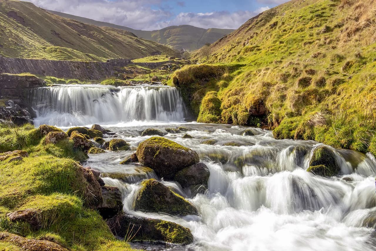
Mynydd Du holds the wildest upland in the park, with long moorland approaches before any climbing begins. Fforest Fawr is the waterfall country of the Mellte, Hepste and Nedd Fechan valleys, where gorge paths with tree roots and slippery rock steps demand care after rain. The central Beacons carry the highest summits, and the Black Mountains offer softer, smoother ridges in the east.
For an easy day, that means choosing the area first and the route second. Waterfall Country and the Black Mountains give the best short options, while the central Beacons suit walkers ready for a bigger ascent. Basing yourself in Brecon, Crickhowell or Abergavenny keeps the eastern and central walks close. For the same low-ascent decision further north, compare these easy walks in the Lake District before you finalise a short break.
Four Falls Walk in Waterfall Country
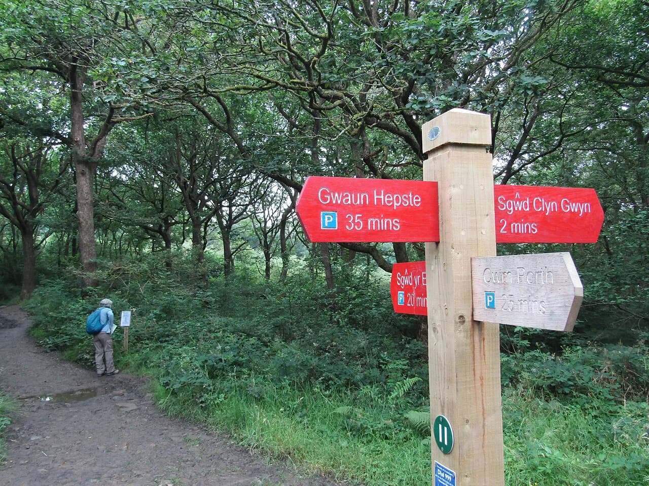
This is the classic Waterfall Country circuit, following the red track with short green link paths that drop to each cascade. It runs 10 km (6.2 miles) with 310 m (1,017 ft) of accumulated ascent and takes about three hours at a steady pace, so it counts as an easy half-day rather than a stroll.
The route visits Sgwd Clun-Gwyn first after a flat start and a gradual descent, then Sgwd y Pannwr and the multi-tiered Sgwd Isaf Clun-Gwyn. The last cascade, Sgwd yr Eira, has the highest drop and a path that passes behind the falling water. The walking is never steep for long, but the link paths add repeated short descents and climbs.
Start from the Gwaun Hepste car park at the trailhead, or from Cwm Porth, which gives a different opening section. The ground beside the falls is wet rock and roots, so grippy footwear matters more here than on any other walk in this guide.
Henrhyd Falls
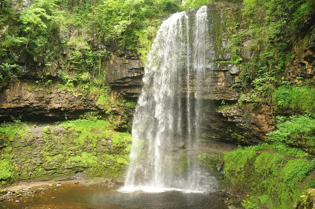
At 1.2 km (0.75 miles) with 28 m (92 ft) of ascent and about half an hour of walking, Henrhyd Falls is the shortest outing here and the easiest with children. A simple path drops from the car park, crosses a bridge, then follows a narrower trail through trees to a single 28 m (92 ft) drop.
You can walk behind the curtain of water, which is the reason to come. The flow varies a lot with rainfall, so a spell of wet weather gives a fuller fall; in dry weeks the drop is gentler but the path behind it remains the draw.
The Sugar Loaf
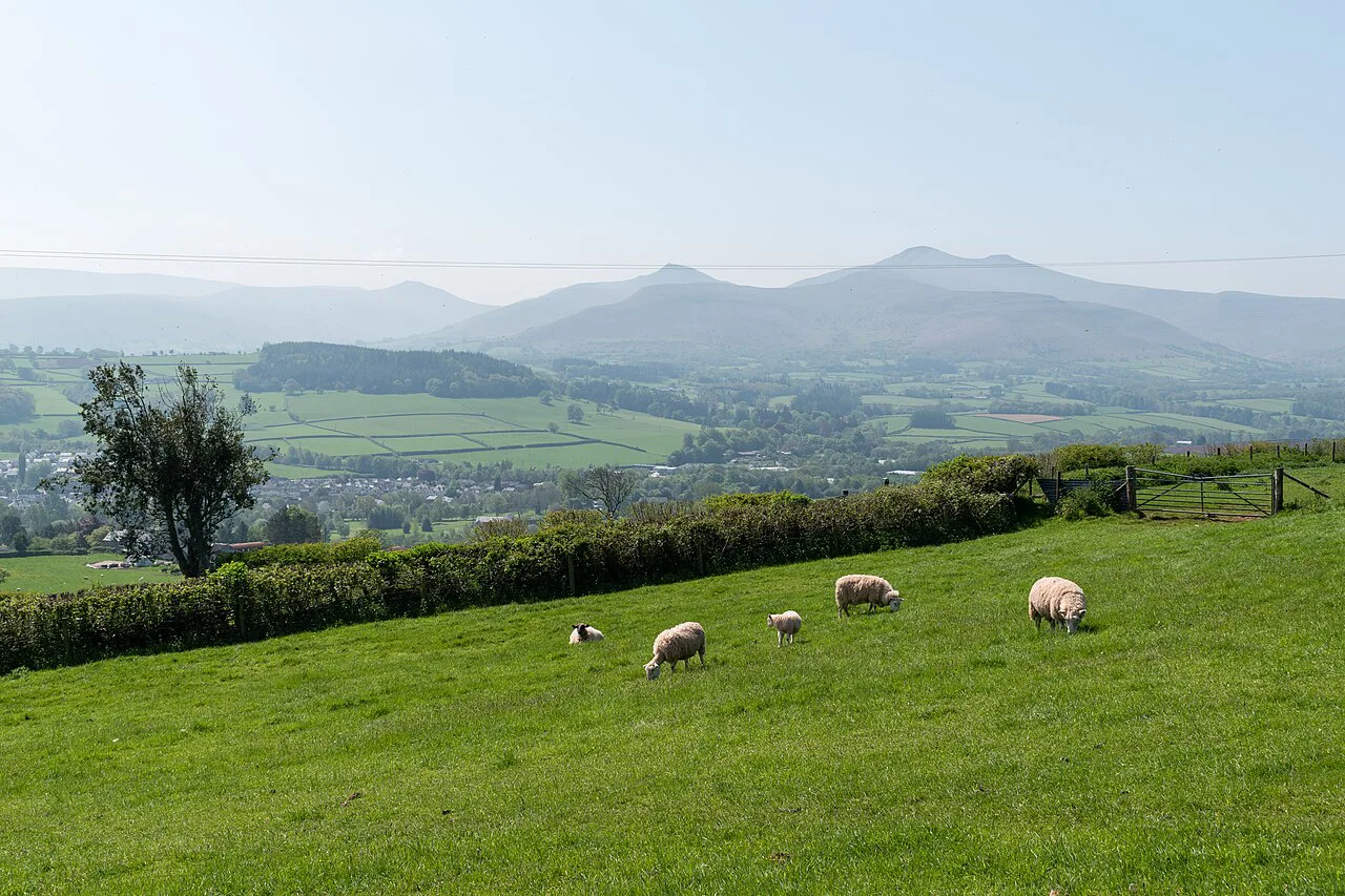
The Sugar Loaf tops out at 596 m (1,955 ft), four metres short of mountain status, and gives a short, sharp reward for little time. The route is 6.5 km (4 miles) with 293 m (961 ft) of ascent and takes about two hours, starting beside farmland and crossing flat moorland before a steep pull to the rocky summit.
Views along the eastern edge of the park open up as you climb, and the summit makes a good late-afternoon or sunset goal. The final stretch is steep and rocky, so allow more time if the grass is wet.
Monmouthshire and Brecon Canal from Brynich Loch
This is the flattest walk in the guide: 8.7 km (5.4 miles) out and back with 160 m (525 ft) of ascent over two to two and a half hours. It starts at Brynich Loch, crosses the Cefn Brynich aqueduct over the River Usk, and continues through farmland to Pencelli before you retrace your steps.
Towpath walking suits mixed groups, slow days and damp weather, and the canal gives a clear line to follow without navigation. For a longer version, the castle loop from Brecon runs 16.8 km (10.4 miles) with only 50 m (164 ft) of ascent.
Craig Cerrig-gleisiad
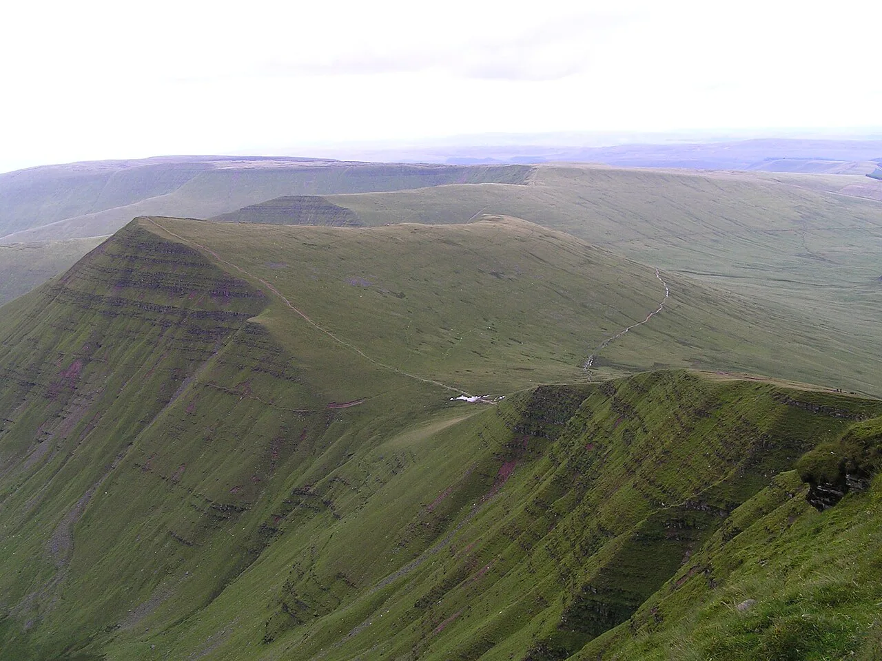
This nature reserve circuit in Fforest Fawr runs 4.3 km (2.7 miles) with 320 m (1,050 ft) of ascent in roughly one and a half to two hours. The path starts through woodland, crosses a stream and climbs the ridge to Fan Frynych, and many walkers add Fan Fawr for a longer day.
The reserve protects rare arctic-alpine plants and birds on its cliffs, and conditions underfoot are often muddy. Treat the ascent as the real work of the day; the ridge itself is open and easy to follow.
Skirrid Fawr
Skirrid Fawr is the quickest summit in the guide: 4.3 km (2.7 miles) with 295 m (968 ft) of ascent in one to one and a half hours from the Old Ross Road trailhead. You climb through Pant-Skirrid Wood and then onto open ground to the top, where Sugar Loaf and Waun Fach come into view on a clear day.
The route is out and back, so the descent repeats the climb. Its short length makes it a good add-on to a Black Mountains day, but the upper path is exposed to wind and rain.
Easy walks straight from Brecon town
If you would rather leave the car parked, two low-level loops start in town. The Brecon Canal and River Usk loop runs 7.82 km (4.9 miles) with 40 m (131 ft) of ascent in about two hours, and the Afon Honddu and Pen y Crug circuit runs 8.57 km (5.3 miles) with 180 m (590 ft) of ascent in around two and a half hours.
The second loop climbs to Pen y Crug, an Iron Age hillfort above the town, with views over Brecon and the Usk valley to the central peaks. Both routes use accessible paths and need no navigation beyond a phone map.
Getting to the trailheads
Brecon town is the hub for the national park, with the T4 and T6 TrawsCymru services linking it to surrounding villages and starting points. In summer, the Beacons Bus runs on Sundays and bank holidays from May to September, connecting many places in South Wales and Herefordshire with the hills. Timetables change by season, so check the TrawsCymru timetable and the Beacons Bus Sunday and bank holiday schedule before you commit to a bus-only plan.
Four Falls, Henrhyd Falls, Craig Cerrig-gleisiad and Skirrid Fawr each have a car park at the trailhead, and most other starts use roadside or forest parking. Carry OS Explorer OL11 for the central area, OL12 for Mynydd Du and Fforest Fawr, or OL13 for the Black Mountains.
When to go
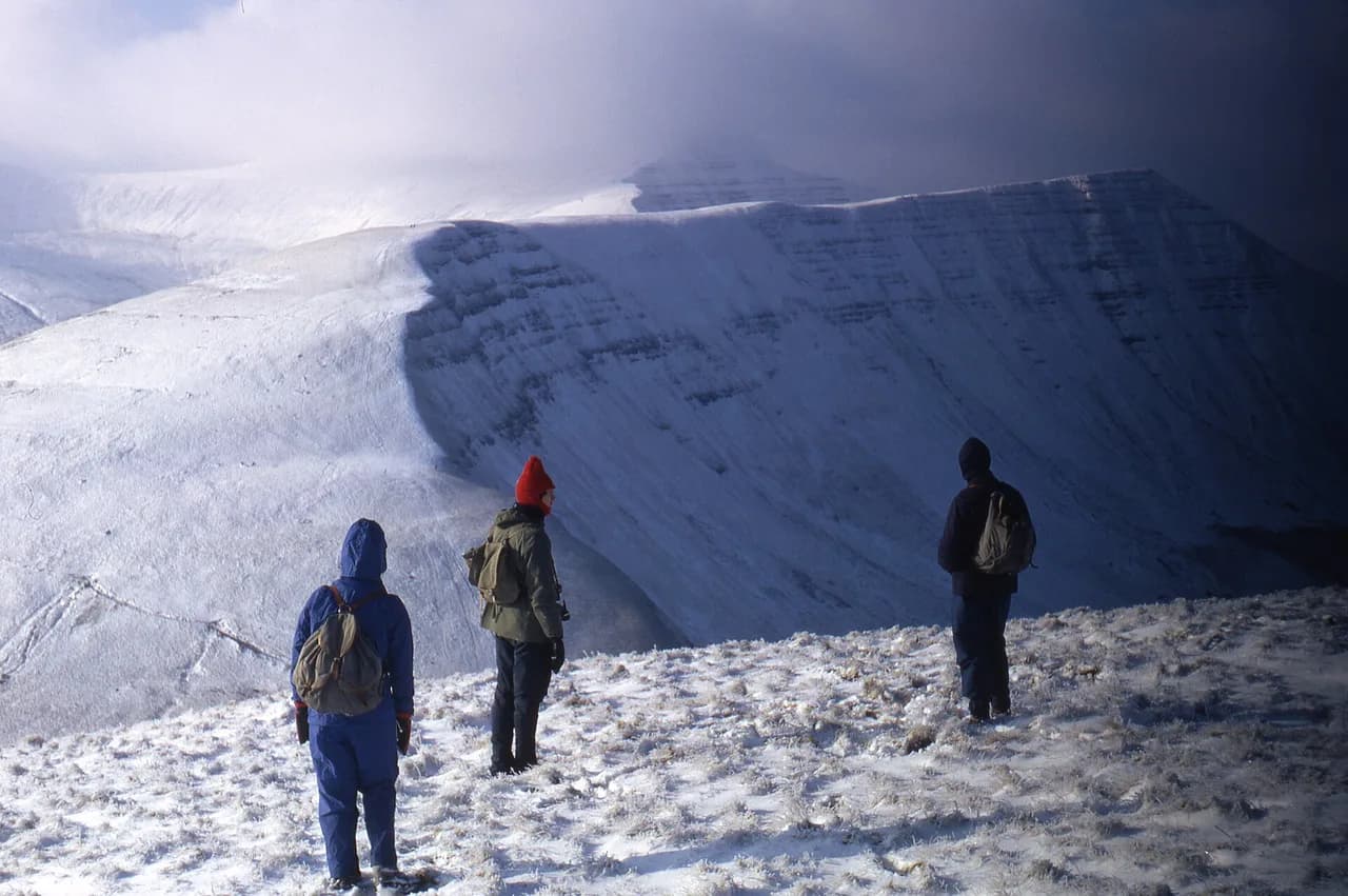
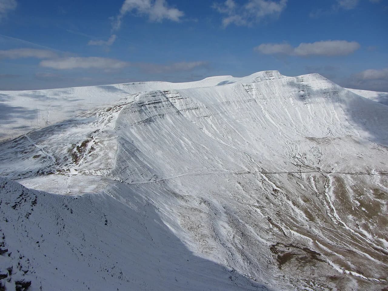
Spring and autumn give the best mix of daylight, dry paths and manageable temperatures on the higher ground. Waterfall walks are at their best after rain, while the canal and town loops stay comfortable in almost any month. Winter brings snow and ice on the ridges, where appropriate footwear and an ice axe and crampons on steep slopes become necessary.
The park attracts cloud when the surrounding lowlands stay clear, and mist can close in quickly on the tops. On the easy routes, that mostly affects Sugar Loaf, Skirrid Fawr and the Craig Cerrig-gleisiad ridge, so keep a map and compass handy even on short days.
Stepping up to Pen y Fan
When the short walks leave you wanting a bigger day, the central Beacons give the obvious next step. From Brecon, the Pen y Fan and Corn Du summit loop runs 25 km (15.5 miles) with 960 m (3,150 ft) of ascent in about eight hours. A shorter horseshoe version from the Taf Fechan forest car park covers 22.5 km (14 miles) with 1,100 m (3,609 ft) of ascent in roughly seven hours.
On the horseshoe, the ridge gives sweeping views and the climbing is mostly steady rather than technical, but the day is long and exposed. Loose rock on Jacob's Ladder makes that ascent a poor choice in snow or ice.
Where to base yourself
Brecon suits the canal, town loops and the central Beacons, while Crickhowell and Abergavenny put the Sugar Loaf and Skirrid Fawr within a short drive. Llandovery, on the western edge, is the practical base for Mynydd Du. All three main towns sit in the Usk valley and have the widest choice of accommodation.
If your priority is waterfall walks, staying near Waterfall Country shortens the drive to Gwaun Hepste and Cwm Porth. From there, Craig Cerrig-gleisiad and the Fan Frynych ridge are also within easy reach, which makes a two- or three-day base practical.
Pick Your Walk
Choose by time and terrain rather than by distance alone. Under two hours, take Henrhyd Falls or Skirrid Fawr; a half day suits the Four Falls circuit or Sugar Loaf; a fully flat day belongs to the canal towpath.
Whichever route you pick, carry waterproofs and layers, since the weather in these hills changes fast, and add the right OS Explorer sheet for the area you plan to walk.
Frequently Asked Questions
What is the easiest walk in the Brecon Beacons?
Henrhyd Falls is the shortest and gentlest, at 1.2 km with 28 m of ascent and about half an hour of walking. Its path drops to the waterfall through trees and lets you walk behind the water. The canal towpath from Brynich Loch is the flattest longer option, at 8.7 km with 160 m of ascent.
Which easy walks in the Brecon Beacons have waterfalls?
The Four Falls Walk in Waterfall Country visits four cascades, including Sgwd yr Eira, where the path passes behind the falling water. It runs 10 km with 310 m of ascent and takes about three hours. Henrhyd Falls is the short alternative, using a single 1.2 km path from its own car park.
Can you walk in the Brecon Beacons without a car?
Brecon town is the transport hub, with the T4 and T6 TrawsCymru buses linking it to surrounding villages and trailheads. In summer, the Beacons Bus runs on Sundays and bank holidays from May to September. The Brecon Canal and River Usk loop and the Afon Honddu and Pen y Crug circuit both start in town and need no vehicle.
Which Brecon Beacons walks suit families?
Henrhyd Falls and the canal towpath are the most family-friendly, with short distances, modest ascent and clear paths. The Sugar Loaf is a good step up for older children, with 293 m of ascent over 6.5 km and a rocky summit. Waterfall Country's gorge link paths are slippery after rain, so take care with younger walkers.
How long does the easy route up Pen y Fan take?
There is no short easy ascent in the route figures here. The summit loop from Brecon covers 25 km with 960 m of ascent in about eight hours, and the horseshoe version from the Taf Fechan forest car park covers 22.5 km with 1,100 m of ascent in roughly seven. Both are full mountain days rather than short walks.
Sources
Trail notes for your next trip
Optional updates when we add or revise hiking guides.
You might also like
Continue reading
More guides you'll find useful