Llyn y Fan Fach Walk: Trailhead, Route and Distance Guide
Plan the Llyn y Fan Fach walk in the Brecon Beacons: where the trailhead is, how long the lake path takes, and how far the full ridge circuit runs.
On this page
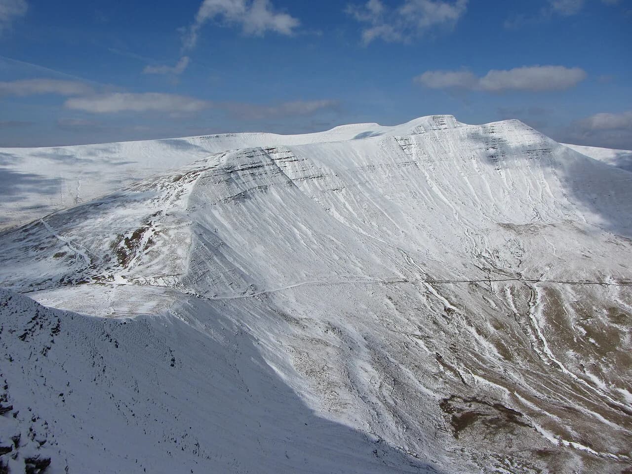
Llyn y Fan Fach is a glacial lake tucked under the amphitheatre of Bannau Sir Gaer in the far west of Bannau Brycheiniog, the Brecon Beacons National Park. The walk suits two very different hikers: families and casual walkers who want a steady gravel track to a famous lake, and ridge walkers who want an exposed circuit over three summits and a second, wilder lake.
The lake sits in the Carmarthenshire Fans, the western block of the national park, and its range is also called the Black Mountain — distinct from the Black Mountains further east. This is among the quieter corners of the walks in brecon beacons, and the price of that quiet is a narrow approach road and a small car park.
Where the walk starts
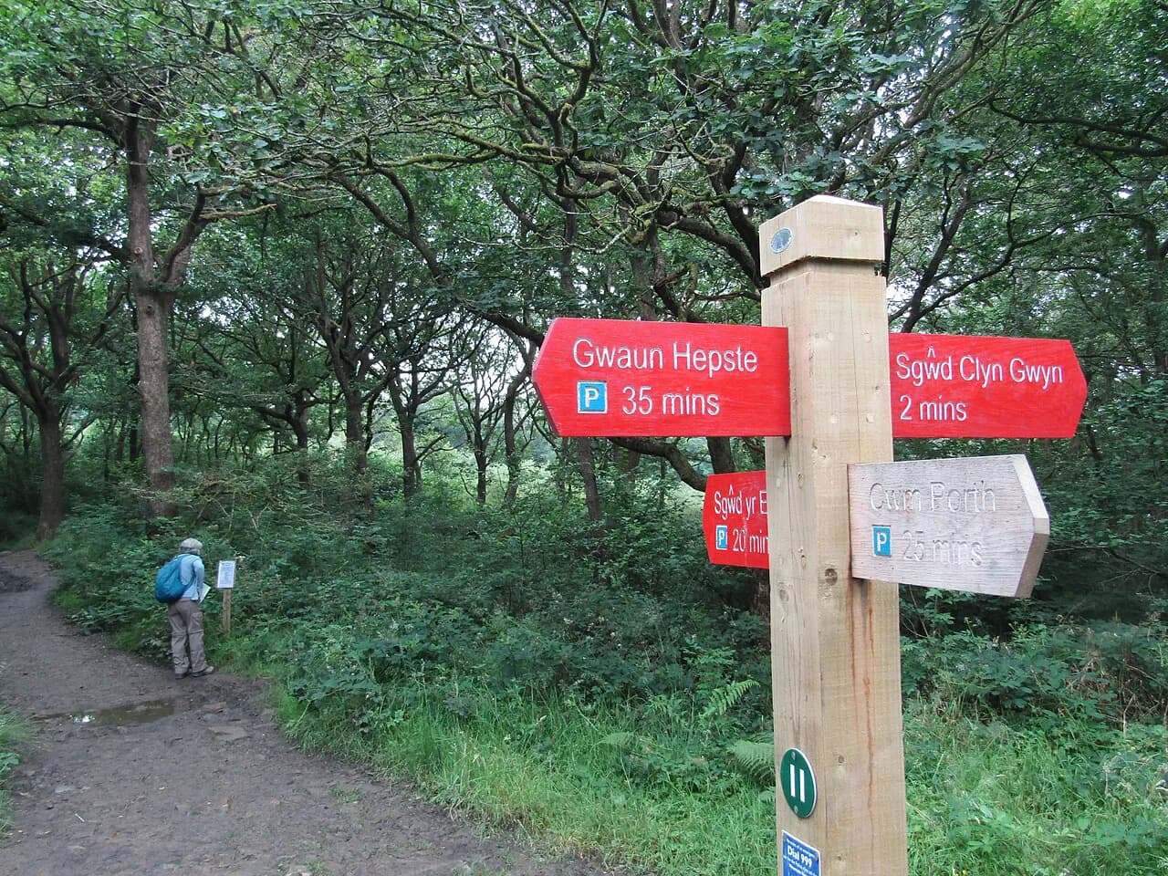
Every version of the walk begins at Llyn y Fan Fach car park above the hamlet of Llanddeusant, signed inconspicuously and best found with the postcode SA19 9UN. The last stretch is a single-track lane through farmland, sealed but uneven, where passing an oncoming car takes patience. It is a small gravel car park that fills early on sunny weekends and in school holidays, so an early or late start is a practical decision rather than a stylistic one.
Parking is free, and there is no train station or bus stop serving the trailhead, so the walk is a car trip. Allow roughly 1 hour 15 minutes from Abergavenny, an hour from Merthyr Tydfil and about 1 hour 40 minutes from Cardiff, with more time on the final lanes. Arriving from the east early in the day also means you meet fewer vehicles on the narrow section.
Option 1: the gravel track to the lake
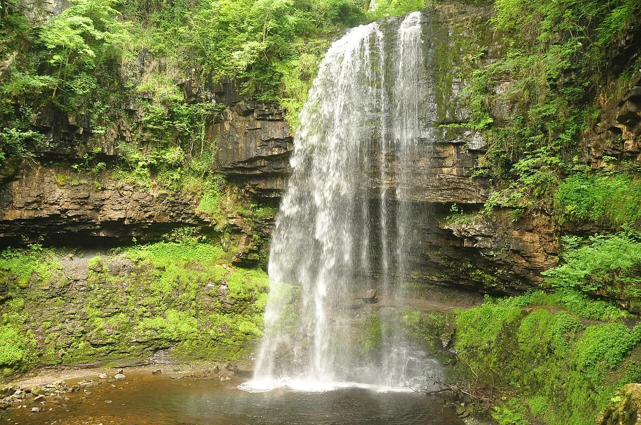
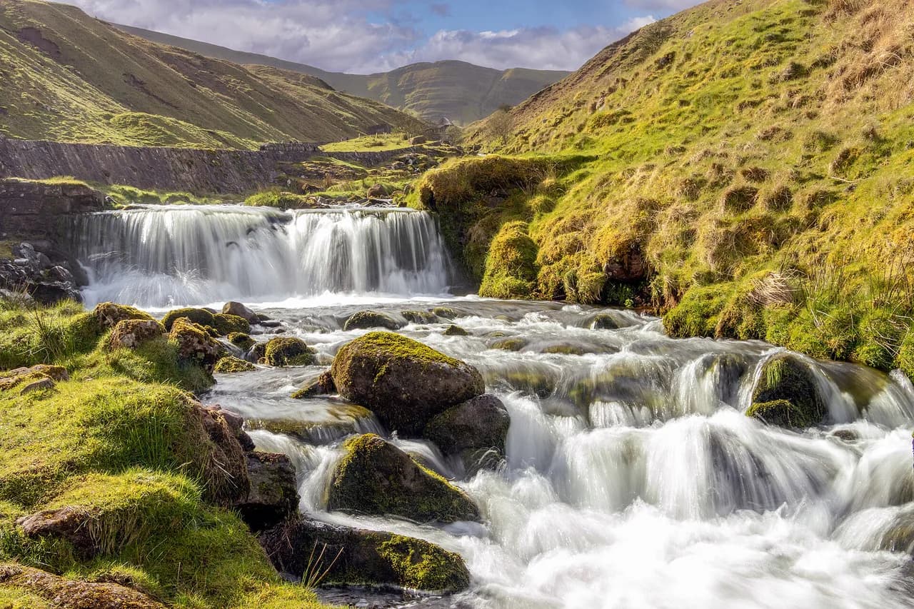
The shortest outing follows a hard-packed gravel track from the car park for about 2 km (1.2 miles) each way, climbing roughly 230 m (755 ft) to the lake shore. The track runs beside the River Sawdde past small waterfalls and a water works building, since the lake still serves as a reservoir. It is steep in places but has no steps, which makes it the natural choice for families and for anyone carrying a child.
At the top of the track stands a stone rescue hut, the last shelter before the open hillside. Even if you turn back at the lake, walk a little way up the path on its right side: the lake is far more striking from above, framed by its cliffs, than from the water's edge.
Distance, ascent and time for each route
The ridge adds distance and height quickly. Llyn y Fan Fach with Waun Lefrith comes in at about 6 km (3.7 miles) with 400 m (1,310 ft) of ascent, taking 2 to 3 hours. The circular over Picws Du runs about 9 km (5.6 miles) with 531 m (1,740 ft), taking 3 to 5 hours.
Adding Fan Brycheiniog extends the day to 11 km (6.8 miles) and 683 m (2,240 ft), a 3 to 6 hour outing. The full circuit including Llyn y Fan Fawr is 14 km (8.7 miles) with 757 m (2,480 ft), commonly given as 4 to 7 hours. Another survey of the same circuit gives 15 km (9 miles) and about 4 hours 30 minutes for a fit walker moving steadily, so treat the longer figure as the realistic allowance for a day with stops and photographs.
The ridge on the right of the lake
For the circuit, take the path on the right side of Llyn y Fan Fach and climb steadily onto the ridgeline, gaining height in one long pull. It is steep but not technically difficult when dry, and every pause gives a better angle down onto the lake. The path soon reaches Waun Lefrith at 677 m (2,221 ft), the westernmost top of the Carmarthenshire Fans, where the escarpment begins to open up ahead of you.
Continue along the edge for roughly a mile to Picws Du, at 749 m (2,457 ft) the second-highest summit of the range. The summit is marked by a Bronze Age round barrow, and on a clear day the view south reaches the Bristol Channel with the Usk Reservoir visible to the north. Loose scree lines parts of this ridge, so keep back from the lip of the escarpment, especially in wind or mist.
The saddle, Fan Foel and Fan Brycheiniog
From Picws Du the path drops steeply to a saddle marked by a small stream, where the choice is to loop back to the lake or continue east. If you continue, a short climb brings you to Fan Foel, a summit with a Bronze Age burial mound, before the ridge undulates on toward the trig point. The path here is exposed to wind on both sides.
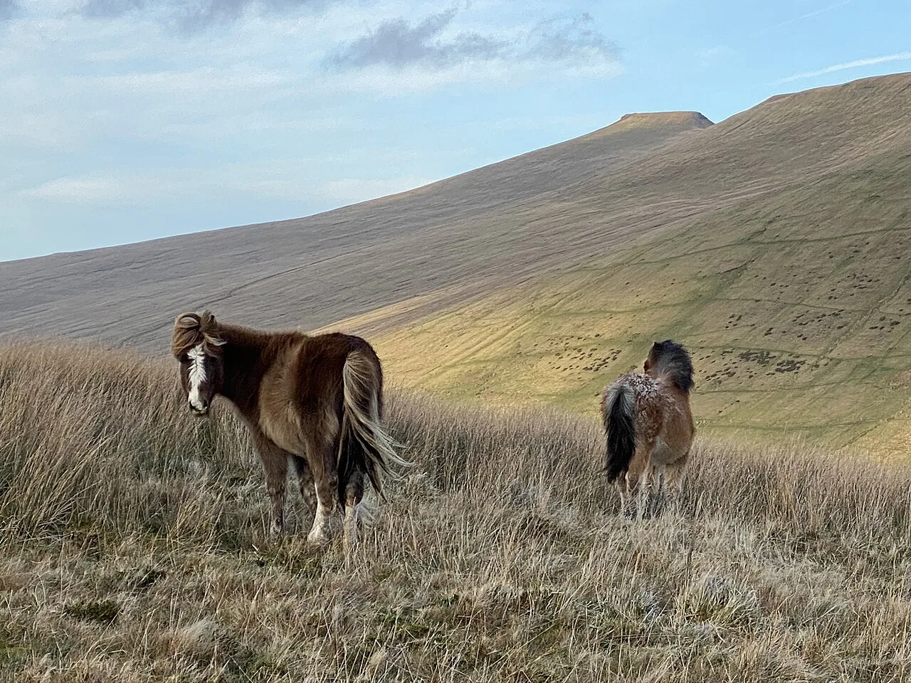
Fan Brycheiniog, at 802.5 m (2,633 ft), is the highest point of the Black Mountain range, crowned by a trig pillar and a small stone shelter. From the summit the Fforest Fawr peaks, the central Beacons and the Black Mountains line up in a row, with Pen y Fan and Corn Du centre stage on a good day. The shelter makes a sensible lunch stop before the descent.
Descent to Llyn y Fan Fawr
East of the trig point and shelter, the path drops toward the shore of Llyn y Fan Fawr on a defined stone path maintained by the national park. The upper steps are easy; lower down the small stones are slippery when wet, and there are loose patches where rock gives better footing than soil. The descent is short but steep, so take it slowly with tired legs.
Llyn y Fan Fawr is the larger of the two lakes and the source of the River Tawe, held beneath Fan Brycheiniog in a wilder, emptier setting than its neighbour. Unlike the reservoir lake, it draws swimmers, who wade in over small slippery rocks into clear, cold water that deepens quickly. The shoreline around it is marshland and can be extremely boggy, so follow the path around the far side rather than cutting across.
The low-level return beneath the escarpment
From Llyn y Fan Fawr, a path skirts the lake and heads west below the escarpments, roughly mirroring the ridge you walked earlier. This low route is narrower than the ridge path, and the section beneath Picws Du runs directly under a cliff face with loose scree underfoot. Where it feels uncomfortable you can drop onto the marsh below, accepting wet ground in exchange for distance from the rock.
Paths criss-cross this section and the circuit is not signposted, so a couple of turns are easy to miss without a map or a downloaded route. Keep to a track that climbs gently around the mountain rather than dropping away from it, and you will meet the water course that leads back to the rescue hut and the lakeside path. From there the gravel track returns you to the car park.
Swimming in the two lakes
The two lakes are not interchangeable for a dip. Llyn y Fan Fach carries large signs warning against swimming, and one account cites a risk of Weil's disease, so keep to the shore there. Llyn y Fan Fawr is the lake people swim in, cold and clear with a shallow entry over stones before it deepens.
Hazards and conditions on the tops
The whole ridge is exposed, and the wind along the top is far stronger than at the car park even on a still day lower down. Pick a day with a modest forecast and be ready to walk on the grass to the right of the path where it runs close to the cliff edge. Mist removes both the views and the sense of height, so carry a map and compass or an offline route if you intend the circuit.
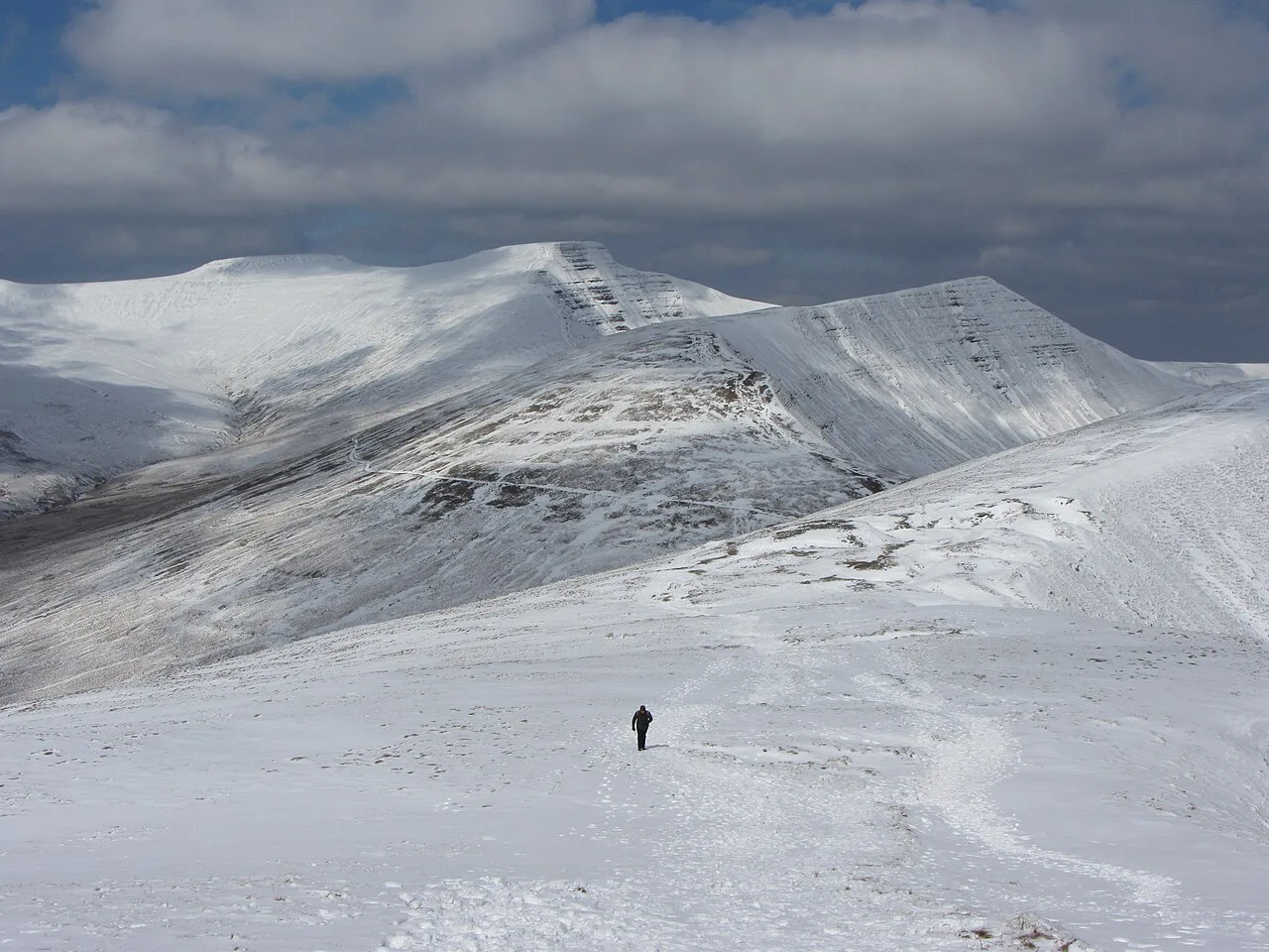
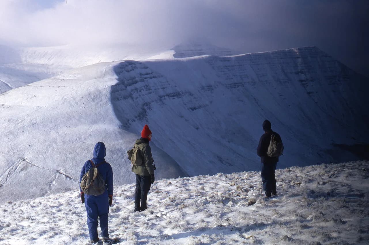
In winter the ridge can hold snow and ice, which turns the steep grass and stone sections into something requiring an axe and crampons or a change of plan. After heavy rain the ground underfoot turns muddy, particularly on the grassy return. The lake path alone stays straightforward in most conditions, which is why it remains the reliable option in marginal weather.
When to go
Late spring through early autumn gives the most dependable conditions, and May in particular brings dry paths and long views. Summer weekends and school holidays bring the crowds to the gravel track, so start early or set off in the late afternoon and allow five hours if you want the full circuit without rushing.
Sunrise and sunset are the rewards for the walk's exposure: Picws Du is a well-known sunset spot, and the shore of Llyn y Fan Fawr is spectacular at first light. Either way, carry a head torch and know your descent route before the light goes.
What to wear and carry
Waterproof boots with good grip matter more than on the average hill walk because of the loose scree on the ridge and the wet grass on the return. Carry a shell and an insulating layer for the tops, water and food for a full day, and a paper map with the route marked, or the equivalent offline on your phone.
Dogs are welcome but should stay on a lead: sheep graze the area and the escarpment edges are a genuine hazard for an off-lead animal. The lakeside track is wide enough for an all-terrain pushchair, but the ridge is not.
The nearest facilities and accommodation are in Llanddeusant and the towns on the A40 corridor, so plan food and fuel before the final lanes. Camping on the summits happens but carries the usual responsibilities of a national park, and the weather can change quickly enough to make an early retreat sensible.
Nearby walks in the Brecon Beacons
The Carmarthenshire Fans are the quiet side of the Brecon Beacons National Park, and the better-known objectives sit an hour or more east. The Pen y Fan walk from Storey Arms or Pont ar Daf gives the classic central Beacons day, with a bus service and a café at the foot of the route, served by the same ridge-and-scarp handbook as the Wales hiking guide. Closer to Abergavenny, the Sugar Loaf Walk from Abergavenny is a short, sharp climb to a fine viewpoint.
In the south of the park, the Four Falls Trail in Waterfall Country pairs well with a wet-weather day when the ridge is clagged in, and the walks from Keeper's Pond show off the eastern escarpment. All of these sit outside the Carmarthenshire Fans, so treat them as separate days rather than add-ons to this circuit.
Plan Your Visit
Choose your version of the Llyn y Fan Fach walk by fitness and time: the gravel track for a short family outing, the Picws Du circuit for a half day on the ridge, and the full loop over Fan Brycheiniog and Llyn y Fan Fawr for a full day with two lakes. Whatever you choose, start early enough to park and to leave the exposed tops before the weather turns.
The car park postcode is SA19 9UN, the lanes are narrow, and there is no public transport to the trailhead. Bring a map for the circuit, keep away from the escarpment edge in wind, and swim only in Llyn y Fan Fawr.
Frequently Asked Questions
How long does it take to walk up to Llyn y Fan Fach?
On the gravel track from the car park, most walkers reach the lake in well under an hour and a half, since the route is only about 2 km (1.2 miles) each way with roughly 230 m (755 ft) of ascent. Give yourself longer if you plan to climb above the lake for the classic view down onto it, and set aside five hours for the full ridge circuit.
How hard is the Llyn y Fan Fach walk?
The lake path is a straightforward uphill gravel track with no steps, steep in places but simple underfoot. The ridge routes are a different proposition: the circuit over Picws Du and Fan Brycheiniog is a long, exposed day on rough ground with loose scree near the escarpment edge, which calls for a map, grip and a settled forecast.
Can you swim in Llyn y Fan Fach?
Llyn y Fan Fach carries large signs warning against swimming, and one account cites a risk of Weil's disease, so stay out of the water there. Swimmers head instead to Llyn y Fan Fawr, the larger lake below Fan Brycheiniog, where there is a shallow stony entry before the clear, cold water deepens.
Sources
Trail notes for your next trip
Optional updates when we add or revise hiking guides.
You might also like
Continue reading
More guides you'll find useful