Fan y Big Walk: The Brecon Beacons Horseshoe Route
Plan the Fan y Big walk from Taf Fechan: 17.1 km (10.7 miles) and 895 m (2,936 ft) of ascent over Corn Du, Pen y Fan and Cribyn, with five climbs.
On this page
The horseshoe above Taf Fechan is the finest way to reach Fan y Big, threading four of the central Brecon Beacons summits into one continuous ridge day. It suits hill walkers with a full day to spare who would rather climb five separate rises than follow a single crowded out-and-back path. The reward is a route that keeps changing: reservoir shoreline, a long grassy ridge, two summit scrambles and a gentle descent on grass.
Most people meet Pen y Fan from the Storey Arms on the A470, which puts hundreds of walkers on the same track to Corn Du. Starting from Taf Fechan instead sends you up the quiet side of the massif, along the Taff Trail and over the Graig Fan Ddu ridge, before you join the crowds on the summits themselves. For an alternative approach to the same mountain, the standalone pen y fan walk guide covers the direct ascent.
Trailhead and parking at Taf Fechan
The round begins and ends at the large car park at Taf Fechan, grid reference SO 042 164, on the southern edge of the central Brecon Beacons. From the car park a bridleway leads north-east to Coetgae-llwyn, where you pick up the Taff Trail and follow it west and then north-west toward the Neuadd Reservoirs. The mountains come into view as you near the water, which makes the first hour an easy warm-up rather than a climb.
A second option starts at the Blaen-y-Glyn car park near Allt Forgan, beside the cascades at the eastern end of the massif, and its first objective is the viewpoint at Bwlch y Ddwyallt. That loop is shorter and takes in the waterfalls, so it works well if you have half a day or want a gentler introduction to the ridge. If you plan several days in the area, the wider walks in brecon beacons collection shows how these routes fit together.
Distance, ascent and time
The full four-peak horseshoe from Taf Fechan covers 17.1 km (10.7 miles) with 895 m (2,936 ft) of climbing in total, rated hard and typically walked in 4 to 6 hours. That figure hides the shape of the day: the climbing is spread over five distinct rises rather than one long pull, so your legs never settle into a single rhythm.
The Blaen-y-Glyn waterfall loop measures 13.7 km (8.5 miles) with 540 m (1,770 ft) of ascent and a quoted walking time of 04:25, graded moderate with good fitness required and sure-footedness on mostly accessible paths. That makes it the sensible choice for a shorter day or for walkers who want one solid summit rather than a full traverse.
A third variation continues from Fan y Big to Waun Rydd, reported by a walker at 16.4 km (10.2 miles) with 755 m (2,480 ft) of ascent. Treat that as a walker's figure rather than a surveyed route total, and weigh it against the standard horseshoe if you are deciding between the two.
Route description: Taf Fechan, the Taff Trail and Lower Neuadd Reservoir
From the Taf Fechan car park, take the bridleway climbing north-east to Coetgae-llwyn and join the Taff Trail, following it west and north-west toward the Neuadd Reservoirs. The route stays on easy going until you cross the dam wall of Lower Neuadd Reservoir and pass through a gate on the far side. From there the character of the day changes at once, with the ridge line of Cribyn and Fan y Big standing ahead of you.
The climb to Twyn Mwyalchod and the Graig Fan Ddu ridge
Beyond the gate, a track hauls you up to Twyn Mwyalchod and its trig point at 642 m (2,106 ft). This is the first serious climb of the day, and the ground is boggy in stretches, so expect to step from one side of the path to the other and to cross small runnels near the top. It is never technically difficult, just steadily hard on the steeper sections.
Above the trig point the walking turns pleasurable along the Graig Fan Ddu ridge, climbing only gently while the views open south toward the Pentwyn and Pontsticill Reservoirs. The ridge continues under successive names, Rhiw yr Ysgyfarnog and then Craig Gwaun Taf, all the same line of high ground heading toward Bwlch Duwynt. Look west and south-west for the glacial sweeps of the Nant Ddu and Nant Crew valleys, the finest valley views on the route.
Bwlch Duwynt to Corn Du
At Bwlch Duwynt you meet the traffic from the Storey Arms track, and the difference is stark: on a fine day the path up Corn Du can carry hundreds of walkers in an unbroken line. Dropping off Craig Gwaun Taf and climbing the final 50 m (164 ft) to the Corn Du summit is short and sharp, and it puts you among the crowds for the first time. The summit looks north over the patterned fields of the Usk Valley, one of the best views of the day.
Pen y Fan and the descent to the Cribyn saddle
A roller-coaster path drops from Corn Du to the saddle linking it with Pen y Fan, and a second climb of about 50 m (164 ft) puts you on the highest summit in the Brecon Beacons. The summit is broad and busy, so it is a place for a quick look and a bite rather than a long rest. Leaving it, you descend to the next saddle, the one below Cribyn, before the second biggest climb of the day.
Walkers who want Pen y Fan without the full traverse can compare a direct ascent; the Brecon Beacons National Park pages linked from that guide give the broader picture of the central ridges. Keep the descent from Pen y Fan unhurried, because the path is steeper and looser than it looks from above.
Cribyn and the drop to Bwlch ar y Fan
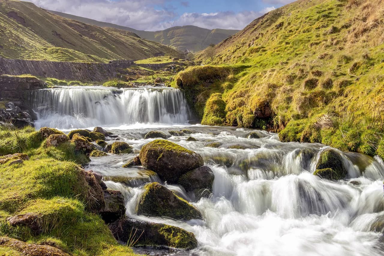
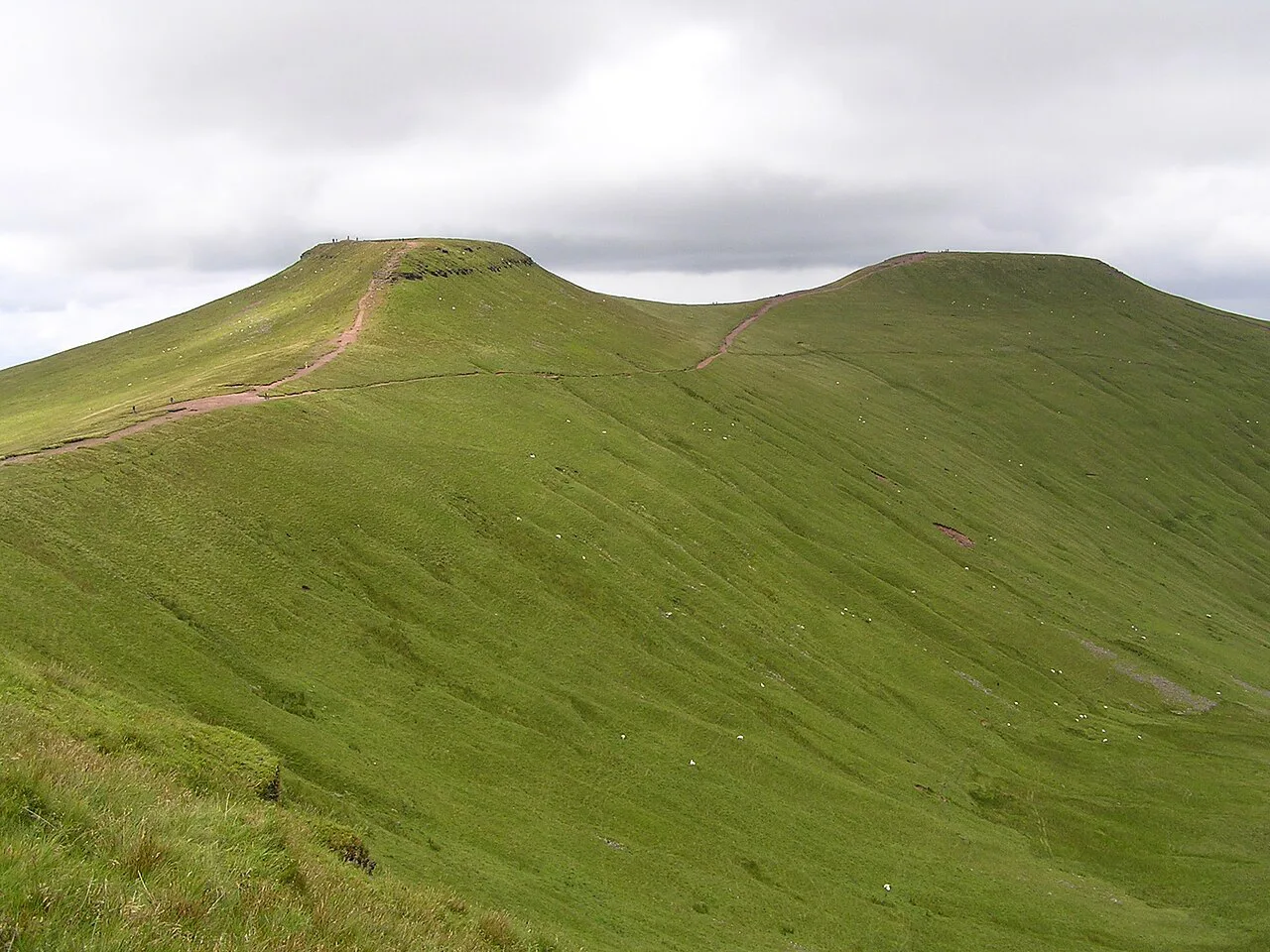
From the saddle under Pen y Fan, Cribyn asks for a full 135 m (443 ft) of climbing, the second largest gain on the horseshoe. The summit gives you the cleanest mountain profiles of the day, with the ridgeline you have just crossed laid out behind you and the Usk lowlands far to the north. Below, the east slope drops to Bwlch ar y Fan and the headwaters of Nant yr Hen-hoel, a stream that feeds the Neuadd Reservoirs.
The final climb to Fan y Big and the Diving Board
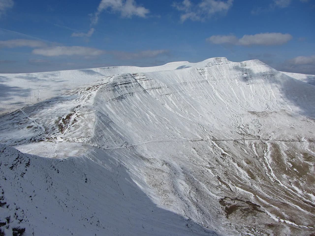
From Bwlch ar y Fan the last climb gains 120 m (394 ft) in roughly 500 m (1,640 ft) of ground, a lung-stretching haul on tired legs. It is the fifth and last ascent, and once you top out all the climbing is behind you. Fan y Big stands at the eastern end of this central ridge and looks straight back along the line you have walked.
The Diving Board, a rock slab jutting from the summit area, is among the most photographed spots in the national park, with the Cribyn and Pen y Fan ridge as its backdrop. It is a viewpoint, not a platform to stand on for the photograph, so admire it from solid ground.
Descent from Fan y Big to Taf Fechan
From the summit, a final stretch at height runs along Craig Cwmoergwm before the route traverses down the easy grassy slope of Tor Glas. That slope is the reason the direction of travel matters: descending it is relaxed walking on grass, while climbing it late in the day would be a thankless grind. From the foot of the slope, a valley track leads back to Taf Fechan and the car park.
The shorter Blaen-y-Glyn waterfall loop
The loop from the Blaen-y-Glyn car park passes the cairn at Bwlch y Ddwyallt at about the 5 km mark before joining the Central Beacons Ridge and reaching Fan y Big around 8.2 km. Continue to Craig y Fan Ddu and then to the Blaen-y-Glyn waterfalls, where the Nant Bwrefwr and the infant Afon Caerfanell spill off the eastern end of the massif, before the path returns to the start. At 13.7 km (8.5 miles) with 540 m (1,770 ft) of ascent it fits into a comfortable half to full day.
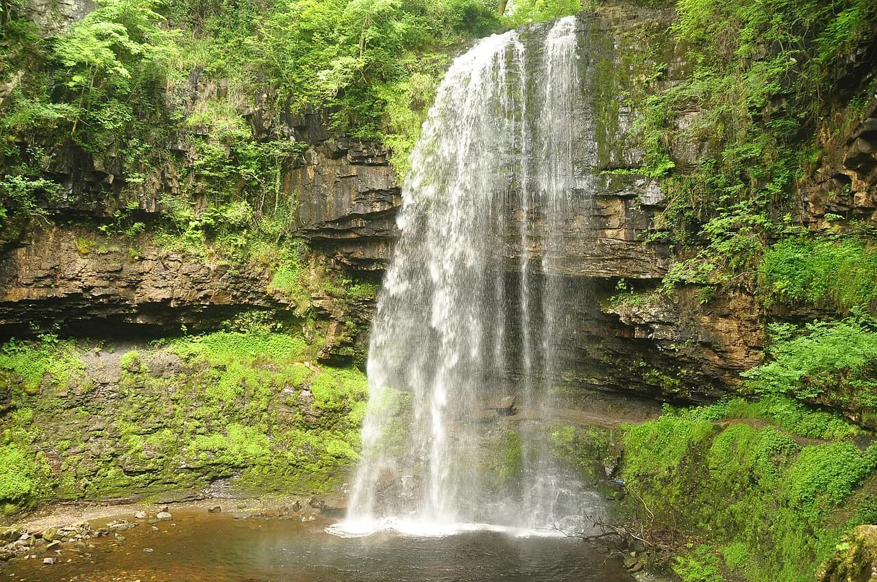
The falls are a genuine highlight rather than an afterthought, and the paths around them are among the most accessible on the mountain. If waterfalls are your main motivation, the four falls walk guide compares the better-known cascade circuits in the national park.
When to go
Late summer and early autumn give the best odds of dry rock and clear summits, and the ridge is at its most rewarding when the ground has dried out after the boggy sections below Twyn Mwyalchod. Spring and late autumn days can still be superb, but expect snow patches on the northern slopes and colder air on the tops.
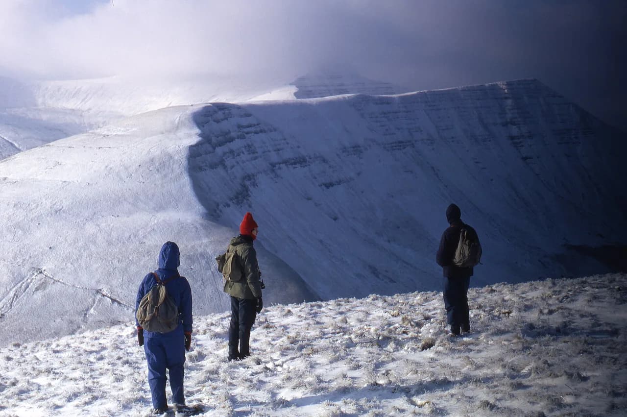
On the summits the weather changes quickly: cloud rolling over the tops brings a cold breeze even on a mild day, and walkers on the ridge above 700 m (2,300 ft) can go from sunshine to a chill wind within an hour. Carry a windproof layer and a map even when the forecast looks settled, and turn back from the ridge if cloud descends and visibility drops.
Huts, facilities and water on the route
There is no hut or café on the horseshoe, so everything you need for the day has to go in your pack at Taf Fechan. Water from the streams and the reservoir edge is not treated, so carry your own supply rather than relying on refills on the ridge.
The route is best followed with Ordnance Survey Explorer OL12, the 1:25,000 sheet covering the western area of Bannau Brycheiniog, and a compass. The ridge path is clear in good visibility but has few markers, so a paper map is a sensible backup to a phone.
Gear, navigation and exposure
Boots with grip matter on the Corn Du and Cribyn climbs, where the paths are steep and worn, and on the boggy track up to Twyn Mwyalchod. The ridge itself is mostly on easy ground, which makes it a route for fit walkers rather than for scrambling, but the drops to the west are real and the wind can be strong.
Plan your day so the summits fall in the middle of it, leaving the grassy descent for the afternoon, and give yourself a turnaround time if the cloud comes in. Let someone know your route and expected finish, as phone signal on the ridge is unreliable.
Fan y Big and Waun Rydd
Continuing east from Fan y Big to Waun Rydd turns the horseshoe into a longer traverse, reported at 16.4 km (10.2 miles) with 755 m (2,480 ft) of ascent. Adding it suits walkers who have already done the four peaks and want more time on the eastern end of the ridge. It also means a longer return leg, so check the distance against your daylight before committing.
If you want a different day in the national park after this one, the llyn y fan fach walk takes you to a lake below the Black Mountain escarpment, and the sugar loaf walk is a shorter half-day option from Abergavenny. Both are outside the central Beacons ridge but within the same national park. For mountain and coast days beyond the Beacons, our hiking in Wales guide points to other long-distance routes worth the drive.
Plan Your Visit
The Fan y Big horseshoe is a full mountain day of five climbs and one long ridge, best started from Taf Fechan early enough to leave the summits behind before the afternoon cloud builds. Pack for wind and wet ground, take the OL12 map, and choose the Blaen-y-Glyn loop if 17.1 km (10.7 miles) of up-and-down is more than your legs want.
Whichever version you walk, the ridge rewards the effort with valley views, a summit profile that stays with you and a grassy descent that ends the day gently. Go with the fitness for the distance, a clear forecast and enough daylight to enjoy the tops rather than rush them.
Frequently Asked Questions
How long is the Fan y Big walk?
The full four-peak horseshoe from Taf Fechan is 17.1 km (10.7 miles) with 895 m (2,936 ft) of climbing, typically walked in 4 to 6 hours. The shorter Blaen-y-Glyn loop that also reaches Fan y Big is 13.7 km (8.5 miles) with 540 m (1,770 ft) of ascent, quoted at about 4 hours 25 minutes.
Where does the Fan y Big walk start?
The classic start is the large car park at Taf Fechan, grid reference SO 042 164, where the route follows the Taff Trail toward the Neuadd Reservoirs. An alternative start is the Blaen-y-Glyn car park near Allt Forgan, which puts you on the waterfall loop with Fan y Big as its high point.
Is the Fan y Big walk hard?
The full horseshoe is rated hard, mostly because of its length and the five separate climbs rather than any technical difficulty. The ridge walking is on good paths, but the ascent to Twyn Mwyalchod is boggy in places and the summit climbs are steep and worn. The shorter waterfall loop is graded moderate.
Can you walk Fan y Big without climbing Pen y Fan?
Yes. From Taf Fechan you follow the Taff Trail and the Graig Fan Ddu ridge before the main summits, and you can choose your own turn point. The waterfall loop from Blaen-y-Glyn reaches Fan y Big without going over Pen y Fan at all, which makes it the simplest way to avoid the busiest summit path.
What is the Diving Board on Fan y Big?
The Diving Board is a rock slab that juts out near the summit of Fan y Big and frames the ridge back toward Cribyn and Pen y Fan. It is one of the most photographed viewpoints in the national park, so treat it as a place to look from rather than to stand on.
When is the best time to walk Fan y Big?
Late summer and early autumn usually give the driest ground and the clearest views. The tops can be cold and windy at any time of year, and snow lingers on northern slopes in spring, so keep a windproof layer and a map in your pack and turn back if cloud closes in.
Sources
Trail notes for your next trip
Optional updates when we add or revise hiking guides.
You might also like
Continue reading
More guides you'll find useful