Pen y Fan Walk: Which Route in Brecon Beacons to Choose
Plan a Pen y Fan walk from Storey Arms or Neuadd: route distances, the 886 m summit, the exposed western spine, and when to add Cribyn to your day.
On this page
Pen y Fan rewards hikers with a table-top summit and long views across the Brecon Beacons, and it suits anyone of average fitness who wants a big-day-out feel without a technical climb. The mountain stands at 886 m (2,907 ft), the highest in the southern UK, and the shortest route is a well-built stepped path from a roadside trailhead. The trade-off is popularity on the direct line, which you can escape by starting at Neuadd car park and taking the longer loop over Cribyn.
Where Pen y Fan Fits the Brecon Beacons Skyline
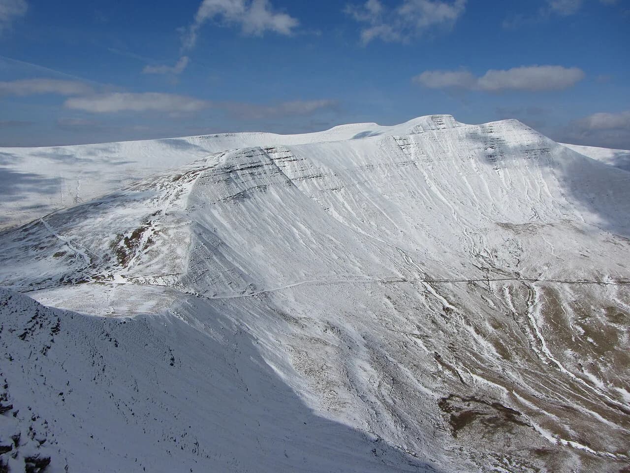
Pen y Fan sits in the Brecon Beacons National Park in south Wales, within easy reach of Brecon, Cardiff and Abergavenny. Its table-top profile rises above the Neuadd reservoirs to the south and the A470 road to the north, so every approach climbs steadily to an open shoulder before the final pull. Because the summit is the highest point for a long way, the tops stand clear of everything around and the ridge lines to Cribyn and Corn Du read clearly from the valley.
Distance, Ascent and Time for Each Main Route
The direct route from Storey Arms Outdoors Centre, nicknamed the Motorway, is the shortest and busiest line. It climbs a stepped path and returns the same way, and the walking time is roughly three hours up and down.
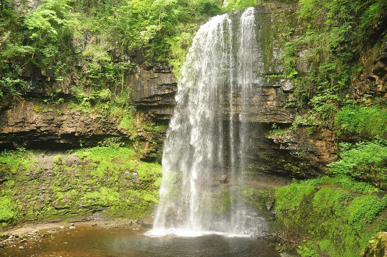
The Neuadd car park loop is 15 km (9.3 mi) and adds Cribyn, making it longer and steeper than the Storey Arms out-and-back. It offers a more scenic and well-rounded day because you circle the mountain, but you need to be comfortable on your feet for several hours. For a shorter mountain day with more variety than a simple up-and-back, the Four Falls Trail is a good alternative in the same national park.
The Storey Arms Route: The Motorway Climb
From the Storey Arms trailhead the path climbs in stone steps and a steady gravel track toward the summit. It is well defined and easy to follow in good weather, which is why it draws crowds, but the stone staircase still gains height quickly. The ground is firm and obvious underfoot, so the main care is pacing and foot placement on the steps rather than route-finding.
Near the top the path meets the western spine and turns toward the summit, where a short approach brings you to the summit plaque. On a clear day you get 360-degree views of the surrounding mountains and the town of Brecon below. If you came up from Storey Arms you turn back at the main summit, so the out-and-back is the route to choose when time is tight or you want the shortest day.
The Neuadd Car Park Loop: Longer, Steeper, Quieter
Neuadd car park lies south of the Neuadd reservoirs, which appear on maps as lakes but were dry grassland during one October visit. The car park warden described the route as steep and rocky, and the climb from the valley floor is carved into a stone staircase. That means a sustained climb rather than a scramble, but you will feel the height gain on the way up.
Once past the steep valley section, the route gains the western spine of Pen y Fan and joins the Motorway for the final pull. The two summits loom ahead, and you can climb both or pass the first and climb the main one. The loop's key difference comes later, when it continues along the ridge instead of returning down the Motorway.
Cribyn and the Ridge Extension
After the main peak the Neuadd loop traverses the edge of the mountain to the northeast, climbing steeply to Cribyn. Cribyn is a pointed lower summit with what the route guide calls the most scenic spot on the whole route, looking back across Pen y Fan and the eastward Beacons. Summiting Cribyn rather than taking the low-level path around it is worth the extra climb.
Beyond Cribyn the terrain eases and the path runs smoothly along the ridge, with each outcrop giving fresh viewpoints. From there the route drops back toward the Neuadd car park, and the ground rewards a relaxed pace rather than a rush. The ridge extension is what makes the Neuadd loop a full day out rather than a summit dash.
Exposure and Ground Underfoot on the Western Spine
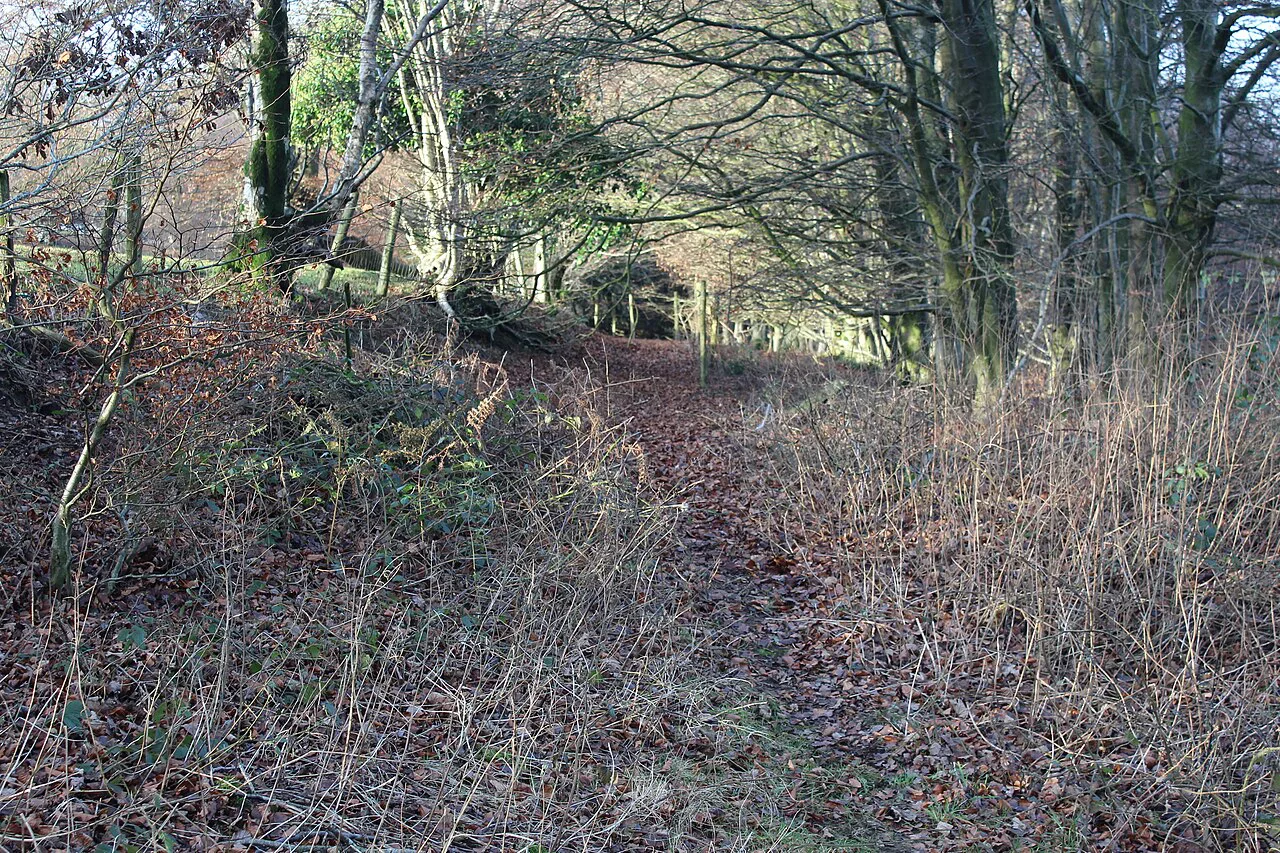
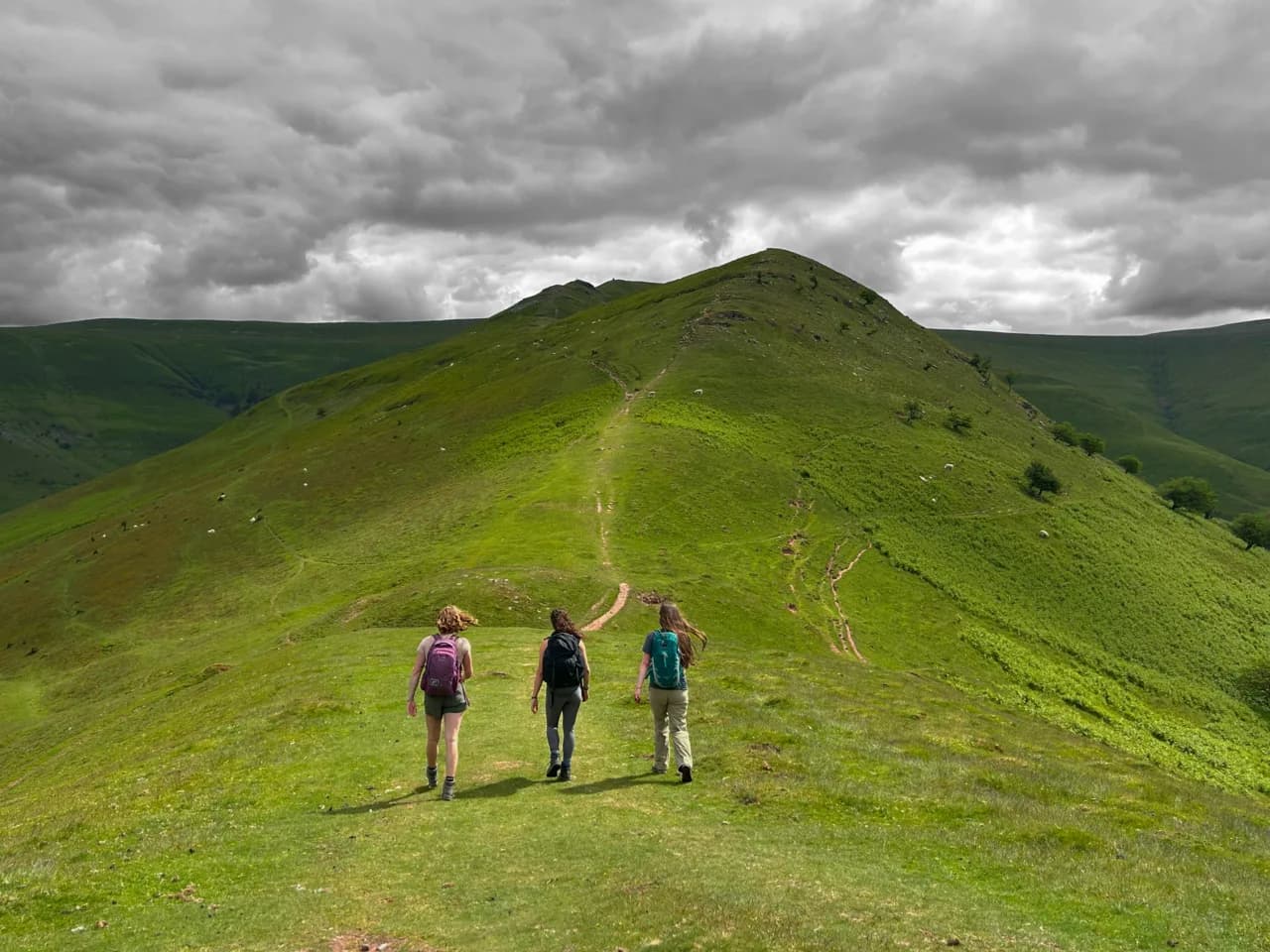
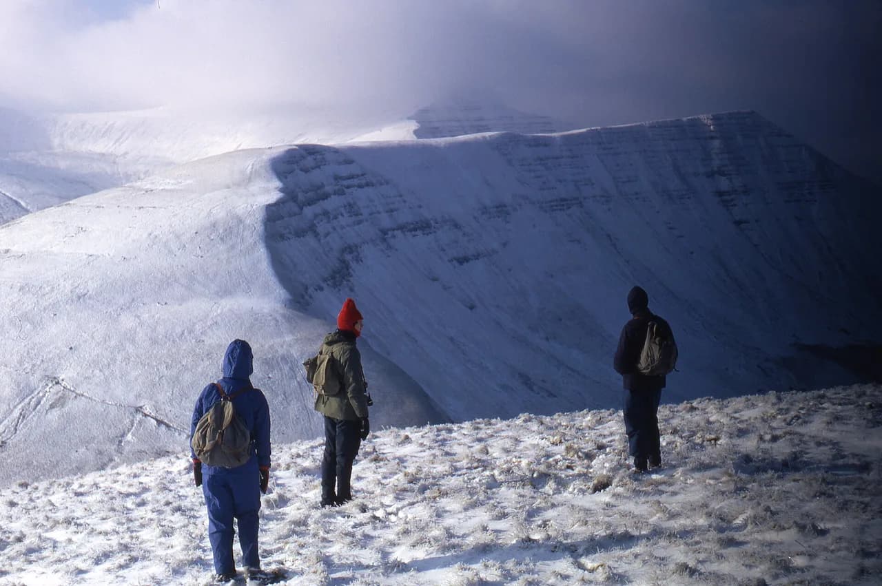
Almost the entire ridge trail has a massive drop on one side, and the route guide gives the blunt warning that one stumble is a serious problem. The path itself is comfortable, with soft dirt and occasional flat rocks, but the edge is real. Keep children and distracted walkers on the inner side of the path, and save celebrations for sturdier ground.
In wind and wet the stone steps and rock slabs lose grip, so carry a waterproof layer and take the descent steadily. On snow or ice the stepped path becomes a different proposition and traction aids are sensible. The Brecon Beacons are also exposed to fast weather changes, so check the mountain forecast before setting out and turn back if the wind builds on the spine.
Trailhead and Parking at Storey Arms and Neuadd
The Storey Arms Outdoor Centre sits on the A470 and is the classic start for the Motorway route. Neuadd car park lies south of the Neuadd reservoirs and serves the longer loop. Parking charges, opening hours and any booking requirements are not set out here, so confirm arrangements with the national park before you travel and arrive early on weekends and bank holidays.
Getting to Pen y Fan Without a Car
Buses run from Brecon to the Storey Arms Outdoor Centre, which puts the Motorway route within reach of public transport. Reaching Neuadd car park by bus is more difficult, so a car is the practical option for the longer loop. Stay up to date with current timetables before you plan your day, and keep your plans flexible if connections are tight.
Weather and the Best Months to Walk
Late spring through early autumn gives the longest daylight and the best chance of dry rock on the steps, with autumn days offering crisp views and fewer crowds. Winter and early spring can bring snow and ice on the upper path and ridge, which changes the walk into a more serious outing. Summer weekend mornings are the busiest on the Motorway, so an early start or a weekday improves the experience.
What to Wear and Carry for a Table-Top Summit
Bring layers you can add and remove as the ridge wind changes, plus a waterproof shell, hat and gloves even in summer. The stepped path rewards grippy footwear, and a map or offline navigation app helps in mist when the cairns and junctions blur. Carry enough water and food for the longer loop, because there are no facilities or cafés on the route itself.
Pen y Fan in Winter
Winter on Pen y Fan often means snow, ice and a wind that cuts across the summit plateau, so the stepped path and ridge need care. Pack microspikes or crampons and an axe if the forecast suggests hard snow, and be ready to turn back at the first sign of unsafe conditions. The Motorway remains the simplest winter objective because it is short and obvious, but treat it with the same respect as any winter mountain.
Where to Base Yourself Around the Beacons
Brecon is a natural base for the Storey Arms route because buses run from town to the trailhead. Abergavenny and the villages around the park give easy access to the national park's western and eastern edges, with plenty of B&Bs within a short drive of the main trailheads. For a different quiet day out, the Llyn y Fan Fach walk on the western side of the national park is a good contrast to the busy Pen y Fan path.
Walking Pen y Fan with a Dog
Dogs do tackle the Brecon Beacons alongside their owners, and Pen y Fan sees its share of four-legged company. On the Neuadd Car Park loop, one walker was surprised by a friendly springer spaniel named Millie enjoying her day as much as the humans, and reports of a tiny blonde dachshund on the mountain suggest smaller breeds make the outing too. The mountain is not reserved for a single type of dog, but the terrain you choose matters.
If you take the longer Neuadd loop, the car park warden described the route as “steep and rocky”, and the climb from the valley floor up towards the spine of the Beacon is carved into a stone staircase. A stone staircase is manageable for many dogs, but it rewards a steady pace rather than a charge. The traditional Storey Arms route, dubbed “the Motorway”, is very doable and hence very busy, which means more people, more dogs and more traffic on the same path.
The exposure deserves particular thought. Almost the entire trail features a massive drop on one side, so a dog that pulls or ranges wide is at real risk. The trail itself is incredibly comfortable though, soft dirt with occasional flat rocks, which is kind on paws over a sustained climb. Choose the quieter loop if your dog is nervous of crowds, and keep the lead handy on the ridge where the ground falls away.
Dogs on the Trail: What to Expect on the Busy Paths
Dogs do turn up on the Pen y Fan paths, and the published accounts of the mountain show they get on well enough. On a walk that traced the western spine of PYF and joined "the Motorway", the writer was interrupted while sitting in the sunshine by a springer spaniel named Millie, who had come over to say hello. Further along the same route there is mention of a tiny blonde dachshund, so if your own dog is small and sociable, it will not be the only one of its kind out on the trail.
The practical question is ground underfoot rather than welcome. One hillwalking account rates the walk as moderate, with a laid-out path and steps, and suggests about 3 hours up and down. Another describes the whole trail as soft dirt with occasional flat rocks. For a dog, the staircases cut into the hillside are the awkward part; the brief "steep and rocky" section up from the valley floor is stone-stepped, and a shorter-legged animal may take it in stages.
The bigger issue on the popular line from Storey Arms Outdoor Centre, known as "the Motorway", is volume. That route is described as very doable and hence very busy, with a photo queue leading up to the summit plaque on the main peak. A crowded summit is not the place to let a dog off, and the same account warns that almost the entire trail has a massive drop on one side, with a stumble ending badly. Keep leads short through the queue and along the drop.
For a quieter day, the Neuadd Car Park loop is the alternative: it starts south of the Neuadd water reservoirs and is longer and steeper but less crowded, taking in the summit of Cribyn. Underfoot on the Cribyn stretch the terrain is described as gentle and the path smooth, which suits a dog after the climb. Whichever route you take, the account notes that dogs are out enjoying the day as much as their owners, so expect company.
Plan Your Visit
Pick Storey Arms when you want the shortest, easiest line with a clear stepped path and roughly three hours up and down. Choose the Neuadd loop when you want the 15 km (9.3 mi) day with Cribyn and the ridge extension, and accept the longer drive and steeper climb. Either way, start early, watch the wind on the western spine and keep the forecast in mind. If you enjoy weighing up these kinds of route trade-offs, our hiking in Wales guide covers similar choices on mountain and coast trails elsewhere in the country.
Frequently Asked Questions
How long does it take to walk up Pen y Fan?
The direct Storey Arms route takes roughly three hours up and down. The longer Neuadd loop covers 15 km (9.3 mi) and adds Cribyn, so allow a full day.
Where do you park for the Pen y Fan walk?
The main trailheads are Storey Arms Outdoor Centre on the A470 for the Motorway route and Neuadd car park south of the Neuadd reservoirs for the longer loop.
Can you walk Pen y Fan without a car?
Buses run from Brecon to Storey Arms Outdoor Centre. Reaching Neuadd car park by public transport is harder, so many walkers use a car for the longer loop.
Is Pen y Fan the highest mountain in Wales?
No. Pen y Fan is the highest mountain in the southern UK at 886 m (2,907 ft), not the highest in Wales.
What is the most scenic route up Pen y Fan?
The Neuadd loop with Cribyn is the scenic highlight because it traverses the ridge and gives views back to Pen y Fan. The Storey Arms route turns back at the summit.
Are there facilities on the Pen y Fan walk?
There are no cafes, huts or water points on the route, so carry your own food and water. The trailheads and Brecon have services.
Sources
Trail notes for your next trip
Optional updates when we add or revise hiking guides.
You might also like
Continue reading
More guides you'll find useful