Blorenge Walk from Keeper's Pond: Route, Distance and Time
Plan the Blorenge walk from Keeper's Pond in the Brecon Beacons: distance, ascent, walking time, route landmarks, the shorter option and the best months.
On this page
The Blorenge stands alone above Abergavenny, a broad-backed moorland hill whose flat summit ends at a trig point with the Usk Valley spread out below and the Black Mountains filling the skyline behind you. It suits hikers who want a real hill day without the crowds and steep stone staircases of the central peaks, and it rewards anyone willing to trade a little shelter for open, wind-scoured views.
This guide follows the classic circuit from Keeper's Pond, with a shorter alternative and the longer valley-floor ascent from Llanfoist for readers who want more climbing. If you are still choosing between hills, the wider collection of walks in brecon beacons covers the park's other ranges, from the waterfall country to the western lakes. For a change of scenery beyond Wales, hiking in Wales and the border country offers still more options.
Where the Blorenge sits in the national park
The Blorenge is an isolated hill lying south of Abergavenny, on the eastern, Black Mountains side of the Brecon Beacons National Park. The park's designated area covers 1,344 square kilometres (519 square miles) and spans four mountain ranges, and the Blorenge sits apart from the central Beacons rather than among them, which is exactly why it stays quieter on summer weekends.
Walkers pick it over the central peaks for the solitude, the industrial and monastic history scattered across its slopes, and a summit panorama that takes in Sugar Loaf and Waun Fach on a clear day. Those who want the park's headline summit instead should look at the pen y fan walk, which is shorter but far busier.
Trailhead and parking at Keeper's Pond
The Keeper's Pond circuit starts from the pond itself, a roadside sheet of water high on the B4246 between Abergavenny and Blaenavon, where the moor begins. Park considerately in the roadside pull-ins near the pond and arrive early on weekends and bank holidays, since the verges are narrow and the passing places are limited. The pond makes an obvious meeting point, and you begin climbing straight from the car.
Distance, ascent and time
The Keeper's Pond circular runs 12.2 km (7.5 miles) with about 424 m (1,400 ft) of ascent, and the route description gives roughly 4 hours 50 minutes of walking at a steady pace. The grade is moderate: the gradients are long rather than steep, but the ground is open moorland and the wind can add real effort on the high sections.
Allow closer to five and a half hours if you want to stop at the trig point, photograph the Punchbowl and eat lunch out of the wind. There is no scrambling and no technical ground, so the ascent figure matters more than the terrain when you judge whether the day suits your fitness.
Route from Keeper's Pond to the Punchbowl
From the pond, the path works its way across grass and patches of peaty ground before dropping toward the Punchbowl, a large cwm holding a dark reservoir-like sheet of water below the hill's eastern shoulder. In wet weather the moorland here holds water, so gaiters and boots with grip earn their place. Keep to the established trod, since the surrounding ground is soft and easily damaged.
Carn y Gorfydd to the summit trig point
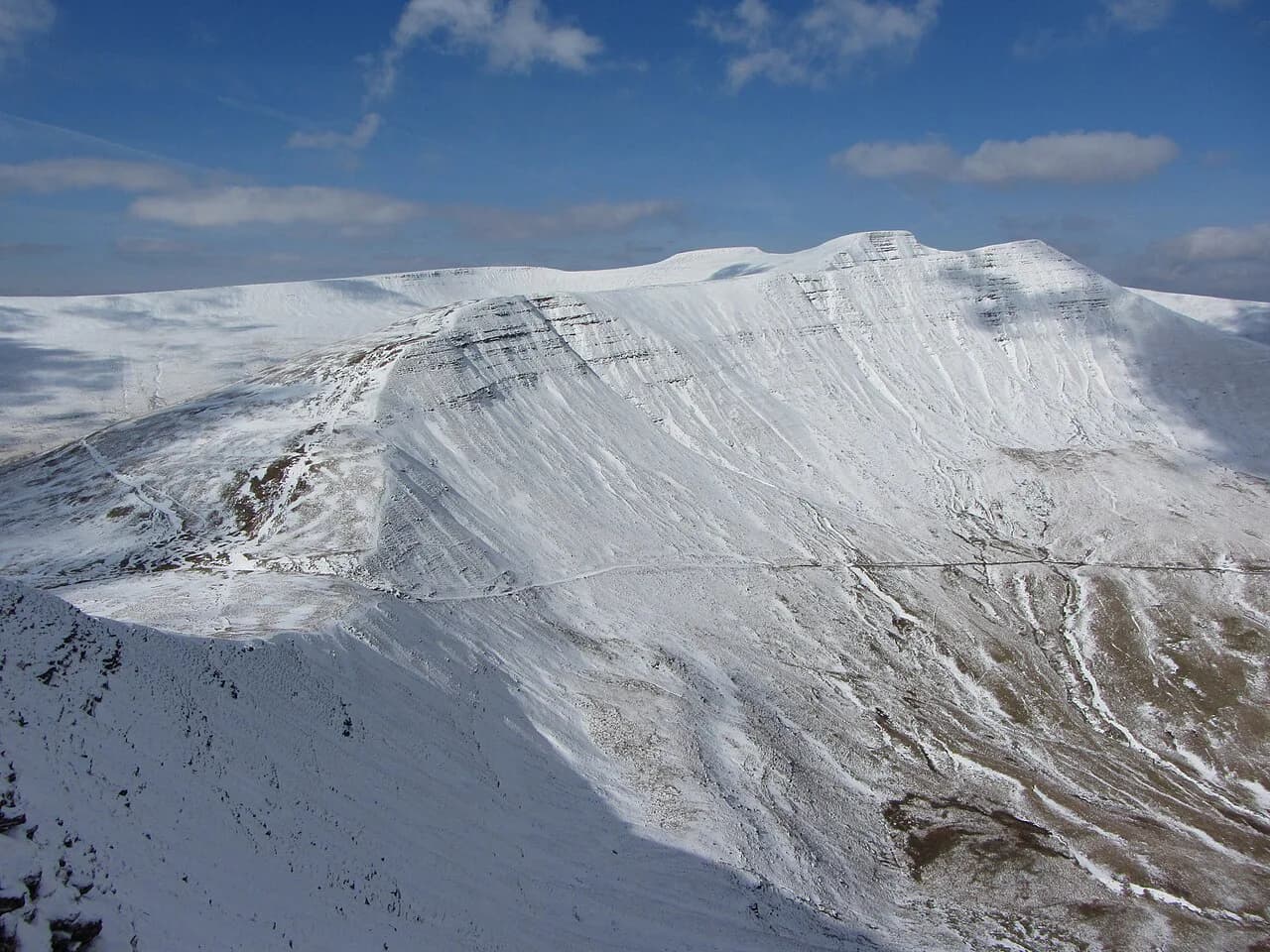
After the Punchbowl the route picks up a track past Carn y Gorfydd and then follows the ridge line toward the summit, where a trig point marks the top and gives you a fixed point to aim for in low cloud. The final pull is gentle compared with the earlier climb, and the summit plateau opens in every direction. On a clear day the view runs across the Usk Valley toward Mynydd Llangatwg, with Sugar Loaf and Waun Fach defining the skyline.
If the cloud is down, compass work and a paper map keep you right on the plateau, which has few distinctive features once you leave the path. If you would rather have a summit day with more defined ridges and a shorter approach, the options around Llyn y Fan Fach give you a lake, a ridge and a trig point in one circuit.
Views from the top
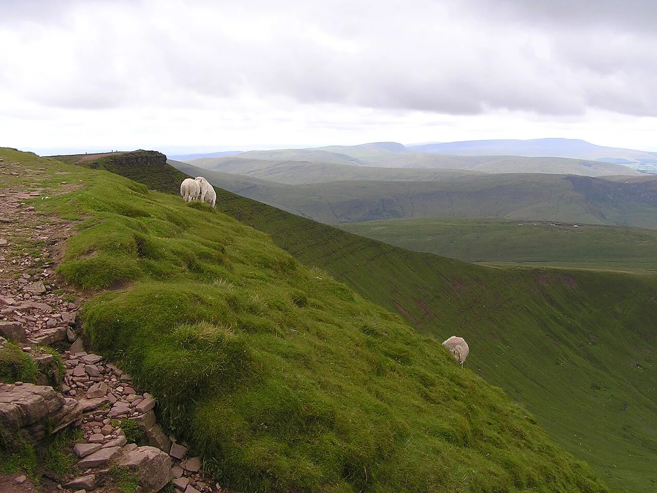
The summit delivers the Usk Valley on one side and the South Wales valleys on the other, a combination that is more industrial-heritage landscape than postcard mountain. The hill's own history, from quarrying and tramroads to the paths that carried workers across the moor, is part of what makes the day interesting. Sunset works well here because the summit is open on all sides and the descent track is easy to follow in fading light.
The shorter Blorenge circuit
A shorter Blorenge circular of about 5.3 km (3.3 miles) trims the day considerably, dropping the full loop around the Punchbowl in favour of a more direct line to the top. It suits half a day, families with older children, or a windy forecast when you want the summit view without hours of exposed walking. You lose the Punchbowl and the quieter eastern flank, which are the parts that make the long version feel wild.
The Llanfoist ascent from the valley floor
Starting from Llanfoist instead of the pond turns the day into a hard valley-floor climb: the Llanfoist and the Blorenge circular covers 12 mi (about 19 km) with 2,034 ft (about 620 m) of elevation gain and takes roughly 6 to 6.5 hours, with the route graded hard. That extra height comes from starting low in the Usk Valley rather than high on the moor.
Choose it if you are staying in Abergavenny or Llanfoist and want to walk from your accommodation, and accept that the climb is sustained and the upper sections stay exposed. The Keeper's Pond start remains the better choice for a shorter, gentler summit day.
When to go
Late spring through early autumn gives the best odds of dry ground and long views, with May and June usually the most reliable months for clear tops. Winter brings snow and ice on the plateau and short daylight, so plan a shorter route and carry traction and a head torch if you go then. Whatever the season, the whole route is exposed and the summit wind can be far stronger than the breeze at the pond.
What to wear and carry
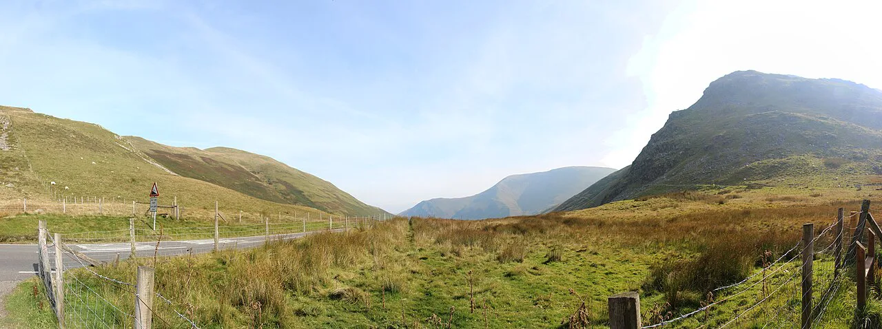
Boots with ankle support and a waterproof shell are the baseline, since the moor holds water and the weather can change while you are on the plateau. Carry a paper map and compass, water and food for the full day, and a warm layer that you can add at the trig point. Leave no litter and keep to marked paths, both for the moorland ground and for the livestock that graze it.
Where to base yourself
Abergavenny makes the natural base, with the town's shops, cafés and railway station a short drive from the pond and a walkable start for the Llanfoist route. Staying in the town means you can combine the Blorenge with a half-day on the Sugar Loaf Walk from Abergavenny, which gives you a different ridge and a different view of the same valley.
Pairing the Blorenge with other days out
The Blorenge pairs well with a waterfall day, and the Four Falls Trail in Waterfall Country makes a complete contrast with its wooded gorge and river steps.
If you are building a longer trip, read the Brecon Beacons National Park overview before you commit the days, then decide whether the second day should be a lake circuit in the west or a peak in the centre.
Choosing your Blorenge day
Take the Keeper's Pond circuit if you want a full half-day on quiet moorland with a proper summit and a varied, landmarked route at a moderate grade. Pick the shorter circuit when time, wind or family pace matter more than the Punchbowl, and take the Llanfoist climb only if you want the extra height and a start from Abergavenny itself.
Whichever version you choose, check the mountain weather forecast the night before and start early enough to be off the plateau before the afternoon wind builds.
Frequently Asked Questions
How long does it take to walk the Blorenge?
The Keeper's Pond circular is 12.2 km (7.5 miles) with around 424 m (1,400 ft) of ascent and takes roughly 4 hours 50 minutes at a steady pace. The shorter circuit covers about 5.3 km (3.3 miles), and the Llanfoist ascent from the valley floor takes about 6 to 6.5 hours.
Where do you park for the Blorenge walk?
Most walkers start from the roadside near Keeper's Pond on the B4246 between Abergavenny and Blaenavon, where the moor begins. Parking is limited to the pull-ins and verges, so arrive early on weekends and bank holidays. The Llanfoist route starts from the valley floor near Abergavenny.
Is the Blorenge walk hard?
The Keeper's Pond circuit is moderate: the gradients are long rather than steep and there is no scrambling, but the exposure and wind on the plateau can make it feel harder than the numbers suggest. The Llanfoist version is graded hard because it starts low in the valley and adds a sustained climb of around 620 m (2,034 ft).
What is the shorter Blorenge circular walk?
A shorter circular of about 5.3 km (3.3 miles) gives you a more direct route to the summit and back. It drops the loop around the Punchbowl, so you trade the quieter eastern flank and its views for half a day rather than a full one.
What can you see from the Blorenge summit?
The trig point looks over the Usk Valley toward Mynydd Llangatwg, with Sugar Loaf and Waun Fach defining the skyline on clear days. The South Wales valleys lie on the other side, and the open plateau gives a full panorama in every direction.
Can you walk the Blorenge from Abergavenny or Llanfoist?
Yes. The Llanfoist and the Blorenge circular starts from the valley floor and covers 12 mi (about 19 km) with 2,034 ft (about 620 m) of ascent in roughly 6 to 6.5 hours at a hard grade. It suits walkers staying in Abergavenny who want to start on foot.
What is the best time of year to walk the Blorenge?
Late spring through early autumn gives the best odds of dry ground and clear summit views, with May and June usually the most reliable. Winter brings snow, ice and short daylight on the exposed plateau, so plan a shorter route and carry traction and lighting.
Sources
Trail notes for your next trip
Optional updates when we add or revise hiking guides.
You might also like
Continue reading
More guides you'll find useful