
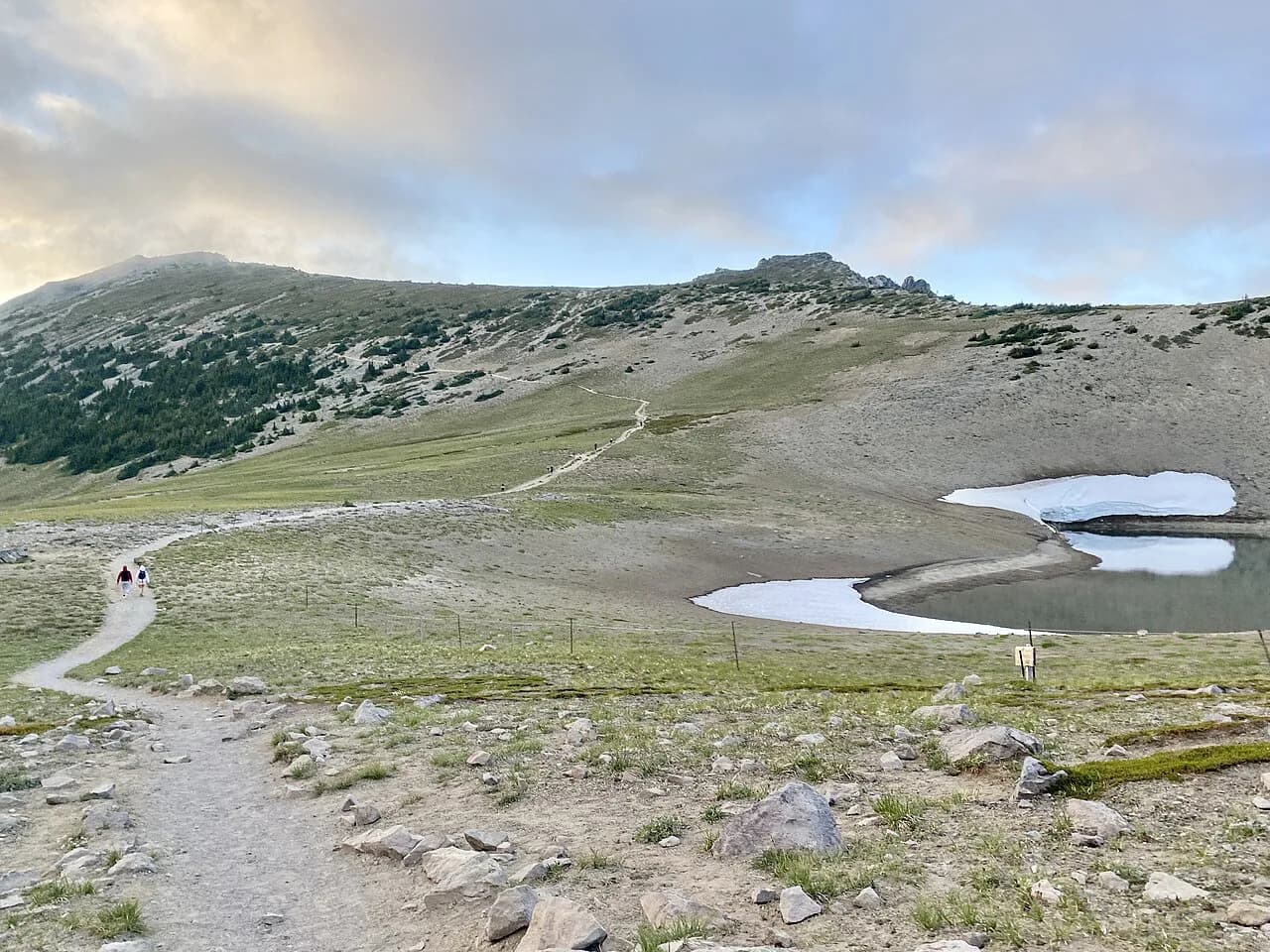
Easy Walks in Lake District: 14 Beginner & Family Routes
Pick a Lake District walk that fits your day: short lakeside circuits, waterfall paths and gentle fells, with distances, ascent and times for each route.
On this page
The Lake District rewards hikers who do not want a big day out. Low paths trace the shores of Buttermere, Grasmere and Tarn Hows, short trails reach waterfalls at Ambleside and Ullswater, and small fells such as Orrest Head and Helm Crag give summit views for a fraction of a big-peak effort. The trick is knowing which is genuinely flat, which has a steep pull, and which starts at your village door.
Most routes here take half a day or less, so you can pair a morning walk with an afternoon in a village. Distances and ascent are given so you can compare directly, and where a route has a trade-off — crowds, uneven footing, road walking — it is stated rather than glossed over. Weather changes quickly in the Lakes, so pack a waterproof even on a promising morning.
Why the Lake District suits easy walking days
Three route types cover most easy days. Lakeside circuits stay low and suit poor visibility, short waterfall trails suit a couple of hours after rain, and small fells give a summit without a long climb. Match the type to the forecast: when cloud sits on the tops, stay by the water.
The valley floors are well served by villages, so many walks begin where you sleep. Windermere, Ambleside, Grasmere, Keswick and Buttermere each put at least one route within walking distance, which cuts out parking stress. If you later want to work through the Lakeland summits properly, the background on the Wainwrights explains how the fell lists are organized. The same low-ascent approach works south of the border, and this guide to easy walks in Brecon Beacons shows how to build short days from village bases.
Low fell and viewpoint walks
Orrest Head is the best effort-to-view ratio in the Lakes. The track starts just by Windermere train station, and the climb is 1.4 miles (2.2 km) return with 108 m of ascent on a short but continuous incline; a well-maintained zigzag path or steeper woodland shortcuts lead to the top in around 20 minutes. On a clear day the view takes in Windermere and outlying fells including Scafell Pike. Parking at the station is limited, so use one of the town-centre car parks.
Helm Crag from Grasmere is a proper little fell: 4.2 miles (6.6 km) with 337 m of ascent, steep from the woodland to the summit but straightforward underfoot, and doable in about two hours. It makes a good sunset walk because the descent is short and the path is easy to follow. Red squirrels sometimes appear in the woods just past the hotel.
Castle Crag from Rosthwaite in Borrowdale is a step up: 4.2 miles (6.8 km) for the loop with 275 m of ascent, a flat riverside warm-up and then a quick, steep climb. The final few minutes go up a big slate pile, which is slippery when wet, so save it for a dry day. Instead of retracing your steps, turn right at the bottom of the slate heap for a longer return through woods, with a river pool for a paddle and a hidden cave on the way.
The Loughrigg Fell loop is the hardest route in this selection but the most varied. It covers 6 miles (10 km) with 434 m of ascent, mixing country lanes, open fell and a small section of scrambling on the descent unless you return the way you came. Start from Grasmere or Ambleside; the lake view stays with you for most of the way down. The scrambling is a useful first taste of rougher ground.
Lakeside circuits
The Buttermere lake circuit is the classic easy day: 4.5 miles (7.2 km) with only 80 m of ascent, almost entirely flat. The path circles the lake with fell views on every side, passes a short tunnel and the famous lonely tree, and has several easy access points for a dip. Footing is excellent apart from a little uneven ground and a short stretch of road.
The Grasmere lake loop is 3.1 miles (5 km) with 82 m of ascent that can be avoided by cutting out the bracken fell section near the village and Dove Cottage. Paths are in excellent shape throughout and the road walking is on quiet lanes. Start in Grasmere village, where there are several pay-and-display options, or at White Moss car park, which fills up quickly.
Tarn Hows, between Hawkshead and Coniston, is a 1.7-mile (2.74 km) loop with 72 m of very gradual ascent. The gravel path is wide, well maintained and pushchair-friendly, with benches along the way, making it the obvious choice for young families. It is popular, so late afternoon is calmer; a longer option continues to Tom Gill waterfall and Black Fell.
The Loweswater circuit is 4 miles of easy walking tucked into a side valley near Buttermere, with a delightful wooded southern shore and a good pub nearby. For a short history-and-lake stroll, the Coniston Hall walk follows the Cumbria Way for 3 miles along the shore of Coniston Water. Both are ideal when cloud is down and you want low, sheltered ground.
Waterfalls and gorges
Stock Ghyll Force sits a few minutes from Ambleside village centre, reached by a 0.75-mile (1.2 km) circuit with 95 m of ascent, plus 750 m each way if you walk from the village. The double-drop waterfall is at its best in autumn, and the circuit has a few stairs and muddy patches. The shorter out-and-back avoids the roughest ground.
Aira Force near Ullswater is just under a mile (1.5 km) return to the main viewpoint with 60 m of ascent, though every route to the falls involves stairs. The best circuit uses the Sitka Spruce path up and the Ullswater Way track back to the car park. The falls turn discoloured and foamy after heavy rain, so pick a day or two after the downpour and read the Aira Force walk guide for the way up to the High Cascades above the main drop.
Stanley Ghyll in Eskdale is a 1.7-mile (2.7 km) loop with 130 m of ascent, following cascades through mossy woodland to a waterfall that plunges into a ravine. There is one short, sharp climb of about 250 m to the upper viewpoint with uneven steps. It is usually very quiet, which makes it a good alternative when the central Lakes are busy.
Galleny Force in Borrowdale, also called the Fairy Glen, is 0.8 miles (1.4 km) each way with only 30 m of ascent, mostly flat with one short uneven section. The emerald pool and cascade are a popular swimming spot, but they are just as good for sitting and reading. Continue to Black Moss Pot for a longer walk, or arrive early in summer if you want quiet.
Caves and industrial remains
Cathedral Cavern in Little Langdale is a short adventure into old quarry workings: 0.7 miles (1.1 km) each way with about 100 m of ascent including the climb to the top of the main chamber. The easiest approach takes around 15 minutes each way through tunnels and passages, with plenty of time left to explore. A short detour reaches Slater's Bridge.
Rydal Cave from Rydal is 0.8 miles (1.2 km) each way with 85 m of ascent. The cave mouth has a layer of jagged rocks above it, and the interior is dark and drippy, which is atmospheric on a gloomy day. A second cave nearby is reached by a climb aided by a rope, and both fit into roughly an hour.
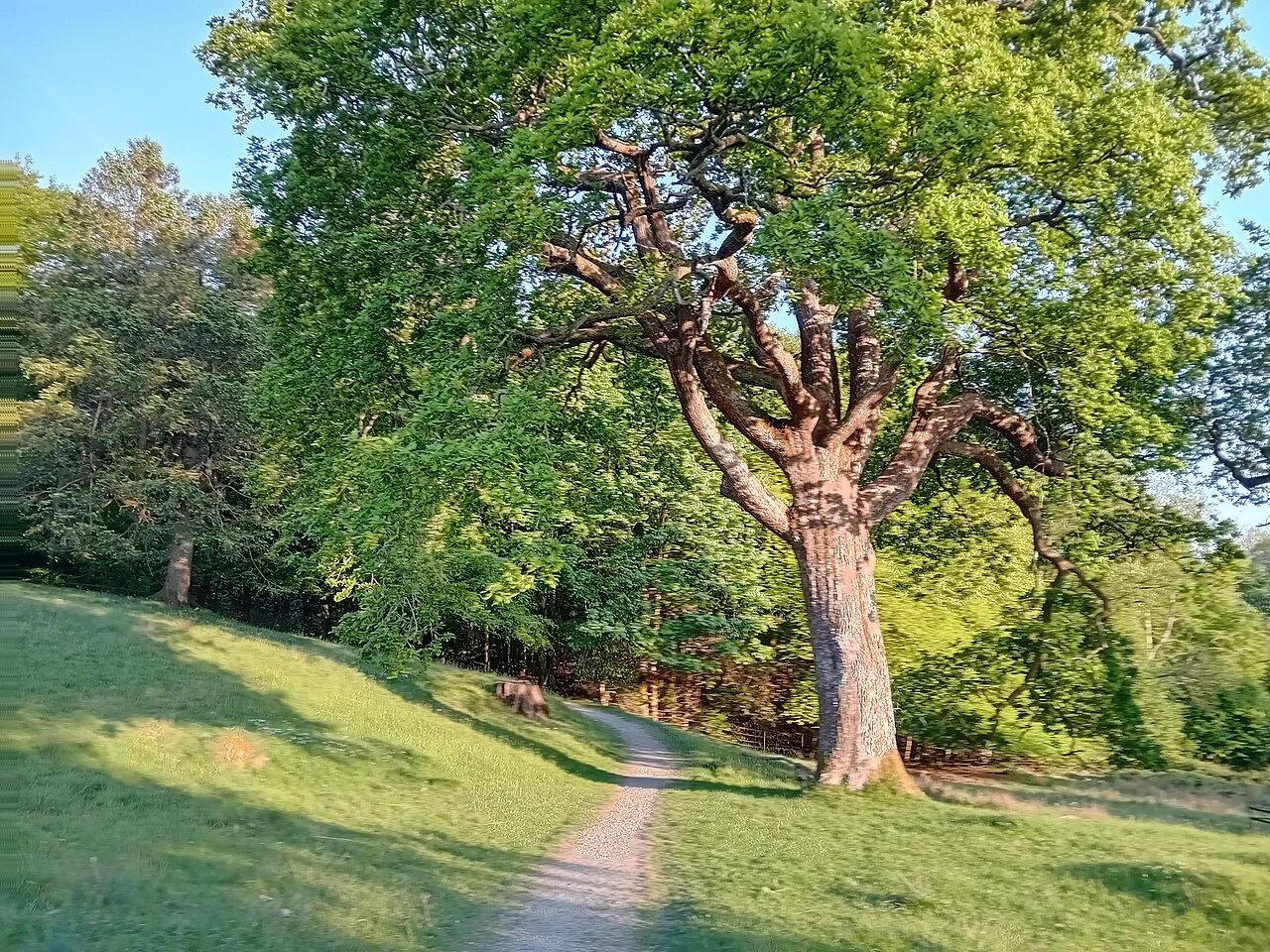
Pools and riverside stops
Tongue Pot in Eskdale is a 4.3-mile (6.9 km) return including Esk Falls with 150 m of ascent, and it can easily be shortened to a few of the pools. The pools range from turquoise to emerald and many sit beneath waterfalls. The walk is worthwhile for the valley scenery even if you do not swim.
The Buttermere infinity pool detour is 2.6 miles (4.3 km) return with 150 m of ascent, on flat, well-maintained path until the last couple of hundred metres. The main pool looks out over the valley, fells and lake. Beyond it the ground becomes pathless and boggy and the walking turns moderate rather than easy, so the pool is the sensible turnaround.
Getting to trailheads without a car
Orrest Head is the simplest car-free start, since the track begins beside Windermere station. Stock Ghyll Force can be walked from Ambleside village centre, Grasmere's lake loop starts in the village, and the Buttermere circuit begins from the valley's parking and village. These are the routes to pick if you are travelling by train and bus.
For the Ullswater shore, the classic one-way is the boat from Glenridding to Howtown followed by the 8.5-mile return along the lakeshore path to Glenridding. Views across the lake to Helvellyn are outstanding, though the path is rough in places. Check the steamer timetable with the Ullswater operator before you set out.
The quiet side of Derwentwater is best reached by ferry from Keswick or Lodore, then walked one way through woodland on the shore. Loughrigg Tarn and Rydal Water can be linked from Ambleside or Grasmere on a 7-mile circuit, which makes a fine car-free day if you are based in either village.
Distance, ascent and time at a glance
Shortest outings are Cathedral Cavern at 0.7 miles (1.1 km) each way, Rydal Cave at 0.8 miles each way, and Stock Ghyll Force at 0.75 miles (1.2 km). Galleny Force is 0.8 miles each way, and the Tarn Hows loop is 1.7 miles (2.74 km). These fit into a morning, an afternoon or a weather window.
Mid-length routes include Stanley Ghyll at 1.7 miles (2.7 km) and 130 m, the Buttermere infinity pool at 2.6 miles (4.3 km) and 150 m, and Tongue Pot at 4.3 miles (6.9 km) and 150 m. The Grasmere lake loop is 3.1 miles (5 km) with 82 m, and the Loweswater circuit and Coniston Hall walk run to 4 and 3 miles respectively.
The bigger half-day routes are Buttermere at 4.5 miles (7.2 km) and 80 m, Castle Crag at 4.2 miles (6.8 km) and 275 m, Helm Crag at 4.2 miles (6.6 km) and 337 m, and Loughrigg Fell at 6 miles (10 km) and 434 m. Helm Crag takes about two hours at a steady pace; Orrest Head about 20 minutes to the summit.
When to go
Spring and autumn give quieter paths and better light for low walks, and autumn colour improves Stock Ghyll Force and the Buttermere circuit. Summer mornings are the time for popular pools and Tarn Hows before the car parks fill. Winter walking is possible on the low routes, but fell paths such as Castle Crag's slate summit and the final climb to Helm Crag become slippery with ice.
Afternoon thunderstorms are a real risk on the fells in summer, so start early on the higher routes and be ready to turn back. Water levels rise quickly after rain, which makes Aira Force powerful but discoloured, and the Buttermere infinity pool side path boggy. Lakeside circuits are the safest choice on a wet, windy day.
What to wear and carry
A rain jacket is essential in the Lakes at any time of year, and a small daypack with water, a map and a warm layer covers these short routes. Walking boots or sturdy shoes handle the uneven steps at Stanley Ghyll and the slate on Castle Crag. Trekking poles help on the steep sections of Helm Crag and Loughrigg Fell, and traction aids are worth carrying on winter fell walks.
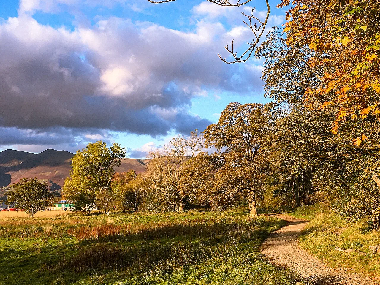
Easy walks with kids and pushchairs
Tarn Hows is the standout pushchair route: wide, well maintained gravel, 1.7 miles (2.74 km) and 72 m of very gradual ascent. The Buttermere lake circuit is almost flat and has easy access points for a paddle, but has a short tunnel and some uneven ground. Stock Ghyll Force and Rydal Cave involve stairs or rocky sections, so they suit older children.
Easy walks with dogs
Most of these routes are open ground where dogs can walk, but keep leads handy near livestock and on the riverside sections of Borrowdale and Eskdale. The cave routes at Rydal and Little Langdale involve dark passages and uneven floors, so shorter leads and a torch help. Water is available in the villages but not on the high fell sections.
Where to base yourself
Windermere gives you Orrest Head on foot and easy access to the southern lakes. Ambleside puts Stock Ghyll Force and Loughrigg Fell on your doorstep, while Grasmere adds the lake loop and Helm Crag. Keswick works for Derwentwater and Borrowdale's Castle Crag and Galleny Force, and Buttermere village is the base for the lake circuit and infinity pool.
Plan Your Visit
Choose the type of day first, then the route: a flat lake circuit for poor weather, a waterfall after rain, a small fell for a view. The distances and ascents above let you match a walk to your time and fitness, and starting from your base village saves parking stress. If you want more challenging options beyond these short routes, the hiking in Lake District guide covers the bigger days.
Before setting off, check the day's forecast and pack for rain, and confirm the Ullswater steamer timetable if you plan the Howtown shore walk. The rest of the details are on the ground: paths are well signed and the villages are close together. A short walk in the Lakes still gives you the scenery that brings people back.
Frequently Asked Questions
What are the easiest walks in the Lake District for beginners?
The shortest low-level routes are Cathedral Cavern, Rydal Cave, Stock Ghyll Force, Galleny Force and the Tarn Hows loop, all under 2 miles (3.2 km) each way. Buttermere lake circuit is the best first lake walk at 4.5 miles (7.2 km) and 80 m of ascent. Beginners wanting a summit should start with Orrest Head or Helm Crag.
What is the most beautiful short walk in the Lake District?
Preference varies, but the Buttermere lake circuit and the Buttermere infinity pool detour both combine lake, fell and waterfall views in a short distance. Aira Force and Stanley Ghyll are the most dramatic waterfall paths. For a quick viewpoint, Orrest Head gives a wide view over Windermere after a 20-minute climb.
Can you do easy walks in the Lake District without a car?
Yes. Orrest Head starts beside Windermere station, Stock Ghyll Force is minutes from Ambleside village, and the Grasmere lake loop starts in Grasmere. For Ullswater, the steamer runs from Glenridding to Howtown for the one-way shore path; check the current timetable.
Which Lake District walks are flat and pushchair friendly?
Tarn Hows is the most pushchair-friendly route, with a wide gravel path, 1.7 miles (2.74 km) and 72 m of very gradual ascent. The Buttermere lake circuit is almost flat but has a short tunnel and some uneven ground. The Grasmere lake loop is level but has road walking and one optional bracken section.
How long does the Buttermere lake circuit take?
At 4.5 miles (7.2 km) with 80 m of ascent, most walkers take around two to three hours at a steady pace, allowing for stops at the viewpoints and the lonely tree. Footing is excellent apart from short uneven sections and a little road walking.
Is Orrest Head an easy walk for families?
Yes, it is short and well signed, with a zigzag path to the top and steeper woodland shortcuts. The ascent is 108 m over 1.4 miles (2.2 km) return, so younger children may need a breather. Parking at the station is limited, so use a town-centre car park.
What easy walks are near Windermere and Ambleside?
From Windermere, Orrest Head is the obvious short walk. From Ambleside, Stock Ghyll Force is a 0.75-mile (1.2 km) circuit with 95 m of ascent, and the Loughrigg Fell loop starts from the village for a longer half-day. The Grasmere lake loop and Helm Crag are a short drive or bus ride away.
Sources
Trail notes for your next trip
Optional updates when we add or revise hiking guides.
You might also like



Continue reading
More guides you'll find useful





