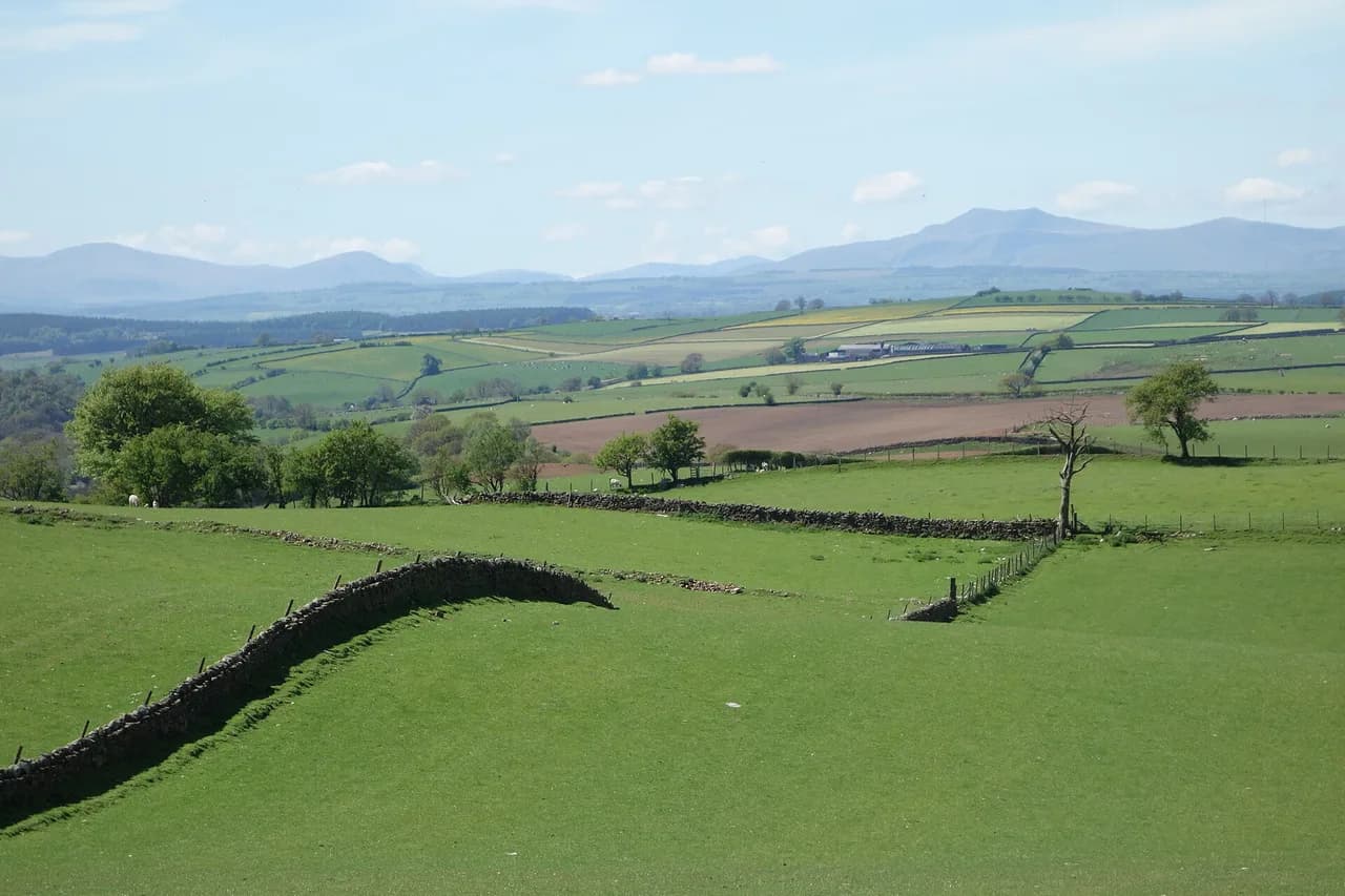
Castle Crag Walk, Borrowdale: Route, Distance and Time
The Castle Crag walk from Grange or Seatoller is a short Borrowdale fell day with a slate-quarry summit and big views over the Jaws of Borrowdale.
On this page
Castle Crag is the compact Borrowdale fell that suits hikers who want a real summit without committing a full day to it. The climb mixes woodland approach, a rough slate-block top and one of the valley's signature viewpoints, which makes it a good half-day objective for fit walkers and families with older children. It also works as an easy introduction to fell walking before you take on bigger days in the national park.
The walk is usually started from Grange, at the valley end near the Jaws of Borrowdale, or from Seatoller further up the valley. One gives a shorter, more direct pull to the summit; the other gives a gentler approach through Borrowdale woodland. This guide sets out both, plus how to link the crag into a longer valley circuit and what the rough summit ground demands from your kit.
Where Castle Crag sits in Borrowdale
Castle Crag rises on the eastern side of Borrowdale, the green valley south of Derwent Water that runs between Grange and Seatoller. Grange sits at the northern, more open end near the Jaws of Borrowdale, the narrow gorge where the valley squeezes between crags. Seatoller lies further south, closer to the head of the valley and the Honister Pass road.
That geography decides your day: from Grange you are close to the crag and can be on and off the summit in a half day, while from Seatoller you spend longer in the valley before the climb. Both bases are small Borrowdale villages rather than resort towns, so plan your food and water around what the valley offers. If you are building a wider trip, our hiking in lake district guide places Castle Crag among the valley's shorter objectives.
Trailheads and how to reach them
Grange is the natural trailhead for the shortest version, with the village lying just off the Borrowdale road and paths heading south toward the crag. Seatoller is the alternative start if you are staying higher up the valley or arriving from the Honister Pass direction. Both are reached by the Borrowdale valley bus service that runs along the valley, which lets you walk a linear route rather than retracing steps.
If you drive, park considerately in the villages and avoid blocking access tracks and field gates, because these are working communities. A one-way walk between Grange and Seatoller is the neatest use of public transport: ride the bus to one end, then walk back through the valley over the crag. The Alltrails route page for the walk from Grange gives a mapped line you can compare with your own map before setting out.
Distance, ascent and time
Plan Castle Crag as a short half-day fell rather than a full day out. From Grange the route is direct enough that most fit walkers will be back in the valley well within half a day, including time on the summit. Starting at Seatoller adds valley distance at both ends and turns the outing into a fuller morning or afternoon.
The honest measure of effort here is the gradient, not the distance: the path climbs steadily through woodland before the final pull onto the rocky top. Add time for the loose slate near the summit, where progress slows on the descent. If you want a checklist of comparable valley days with their own statistics, the Borrowdale selection in this roundup of Lake District walks includes Castle Crag and neighbouring fells.
Route description: valley to summit
From Grange, the path leaves the village and climbs through mixed woodland, with the crag visible ahead through the trees. The ground is mostly good walking track until the trees thin, after which the route turns rougher and steeper as it gains the shoulder below the summit block. Keep the crag itself as your handrail and ignore the temptation to cut across the wooded slopes.
The final section is the part that surprises people: Castle Crag is a quarried slate hill, so the top is a jumble of flat, broken rock rather than a grassy dome. Watch your footing on wet slate, particularly where the path crosses exposed slabs. A short video walkthrough of the Castle Crag route shows the transition from woodland track to slate summit and is useful for gauging the terrain before you go.
The summit block and the war memorial
The summit carries a cairn set among the old quarry terraces, and the ground around it is uneven enough that you should pick your spot before sitting down. This is not a broad, soft fell top, so wear boots with a proper tread rather than trainers. On a windy day the exposed rock gives little shelter, which is worth factoring into how long you linger.
Below the summit, the commemorative ground of Peace How is a separate stop from the cairn, so look for it on your way up or down rather than expecting it at the top. Treat the memorial ground with quiet respect and keep to the path across it. The walking guide to the Wainwright route up Castle Crag sets out the fell's place in the guides and the layout of the summit area.
Views: the Jaws of Borrowdale and Derwent Water
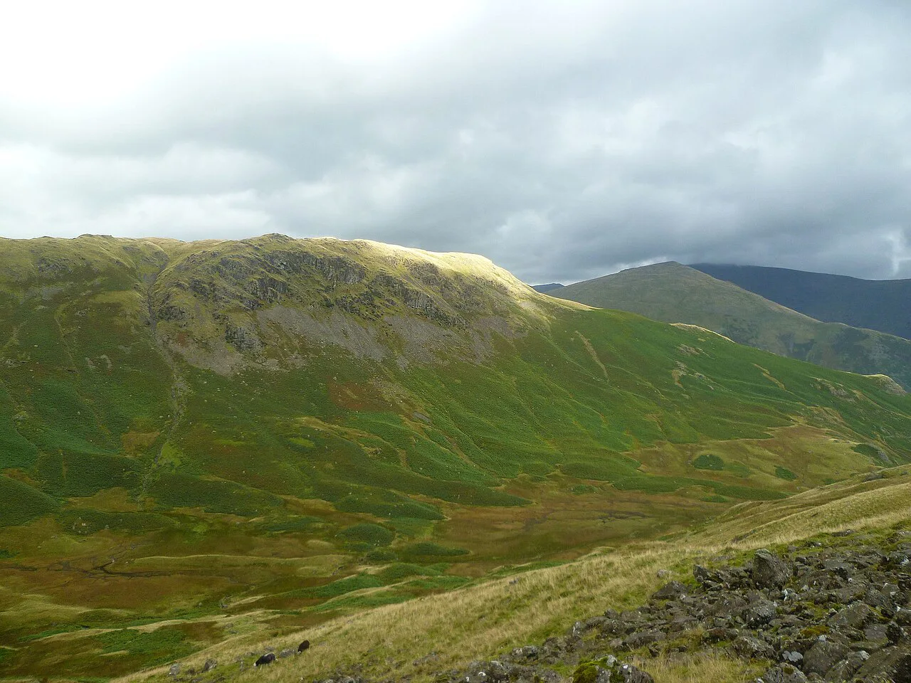
The defining view from Castle Crag is straight down the Jaws of Borrowdale, the constricted gorge where the valley narrows between rocky flanks. Face north toward Grange for that composition, and turn slightly west to pick up the wider valley and the wooded slopes on the far side. It is the reason the crag appears on so many Borrowdale itineraries.
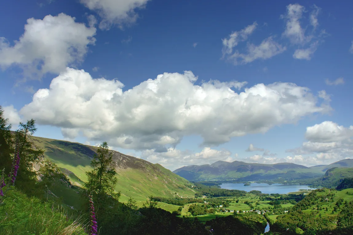
Beyond the Jaws, Derwent Water opens out below Grange, and on a clear day you can trace the lake's islands and shoreline. That view makes Castle Crag a rewarding short day even if you skip the bigger fells; our catbells walk guide covers the ridge on the far side of the lake if you want the classic view back toward Borrowdale.
Descent and longer loops
The simplest descent reverses your ascent, which is the sensible choice in wet or windy conditions because you already know the ground. If you started at Grange, dropping back through the woodland to the village keeps the day short and avoids a road walk. Take the slate sections slowly: descending loose rock is where most slips happen.
For a longer day, walk the valley between Grange and Seatoller and take in the crag on the way, using the bus to return to your start. The route page for the Grange approach notes the war memorial at Peace How as part of the walk, which helps you plan where to pause. This keeps the whole outing inside Borrowdale rather than stretching into neighbouring valleys.
When to go and ground conditions
Castle Crag works in most seasons because the approach is low and wooded, but the summit rock is the limiting factor. Wet slate is slippery, so after rain give yourself more time on the top and consider turning back at the first rough slab section if conditions are poor. High wind is the other thing to watch on the exposed summit block.
Spring and autumn give comfortable temperatures and clearer valley views, while summer brings the busiest paths around Grange and Seatoller. Winter can be fine on the lower track but demands more care where the rock is wet or icy. Check the Lake District National Park's current conditions page before a winter attempt, since conditions on the high fells change quickly.
What to wear and carry
Wear walking boots with a stiff enough sole for broken slate and carry a waterproof layer, because Borrowdale weather turns quickly. Bring water and food from Grange or Seatoller, since there are no facilities on the crag itself. A paper map or offline map is worth carrying even on this short route because woodland junctions are easy to misread.
For the slate summit, keep your hands free and pack a small first-aid kit for cuts and scrapes. If you are new to rougher ground, the same skills used on graded scrambles apply in miniature on the summit blocks; the BMC's guide to Striding Edge explains why testing every foothold matters on exposed rock. The wainwrights page is a useful reference if you are ticking off the classic Lakeland fells alongside Castle Crag.
Other Borrowdale walks to combine with Castle Crag
The most natural pairing is the valley walk between Grange and Seatoller, which you can combine with the crag for a satisfying half to full day. Staying in Borrowdale rather than driving elsewhere keeps the day simple and lets you use the valley bus one way. If you have more time, the fells above Buttermere and Honister are a short drive away, but they lie outside Borrowdale and deserve their own day. For a comparable short-fell day outside the national park, hiking in Yorkshire Dales offers similar low-mileage options.
Practical notes on parking and paths
Parking in Grange and Seatoller is limited and shared with residents, so arrive early or use the bus. Keep to the marked paths across the summit and memorial ground to protect the thin soil and the quarry archaeology. Take your litter out with you and leave gates as you find them, as these are working farms and access land.
If you are using a guidebook route, compare it with the current national park access information before you go, because path diversions can appear without warning. The Castle Crag walk is a good confidence-builder for hikers planning bigger days; once it feels easy, the next step up is the ridge walking on Striding Edge.
Plan Your Castle Crag Day
Choose Grange for the shortest, most direct day and Seatoller if you want a longer valley approach or are arriving from the Honister side. Take the bus one way if you can, wear boots for the slate summit, and allow extra time on the descent when the rock is wet.
Castle Crag rewards hikers who treat it as a proper fell day rather than a quick viewpoint: the Jaws of Borrowdale view is the highlight, the memorial ground below the top is the quiet counterpoint, and the rough summit is the part that decides your footwear.
Frequently Asked Questions
How long does the Castle Crag walk take?
From Grange it is a short half-day outing, with the climb through woodland taking most of the effort and the summit adding time on rough slate. From Seatoller you add valley distance at both ends and should allow a fuller morning or afternoon. Give yourself extra time on the descent when the rock is wet.
Is the Castle Crag walk hard?
The route is short but not flat, and the final section crosses broken slate rather than a smooth path. Fit walkers and older children usually manage it comfortably in good conditions. Wet or windy weather makes the summit block more demanding, so turn back at the rough slabs if it feels beyond you.
Where do you start the Castle Crag walk?
Most hikers start at Grange, near the Jaws of Borrowdale, because it gives the shortest approach to the crag. Seatoller is the alternative start further up the valley and suits people arriving from the Honister Pass direction. The Borrowdale valley bus lets you start at one village and finish at the other.
What can you see from the top of Castle Crag?
The headline view is straight down the Jaws of Borrowdale, the narrow gorge between rocky flanks just north of the summit. Turning west opens up the wider valley and, below Grange, Derwent Water and its islands. The summit cairn sits among old slate quarry terraces, so the view changes as you move around the top.
Is Castle Crag worth visiting?
Yes, if you want a real summit and a classic Borrowdale view in a half day. The quarried slate top and the memorial ground below it give the walk more character than a simple hill path. It is also a sensible first fell before you move on to longer ridge days.
Sources
Trail notes for your next trip
Optional updates when we add or revise hiking guides.
You might also like



Continue reading
More guides you'll find useful