
Coledale Horseshoe Walk: Route, Distance, Ascent and Parking
Walk the Coledale Horseshoe from Braithwaite: route options, distance, ascent and time, parking at the start, water on the way and the best months to go.
On this page
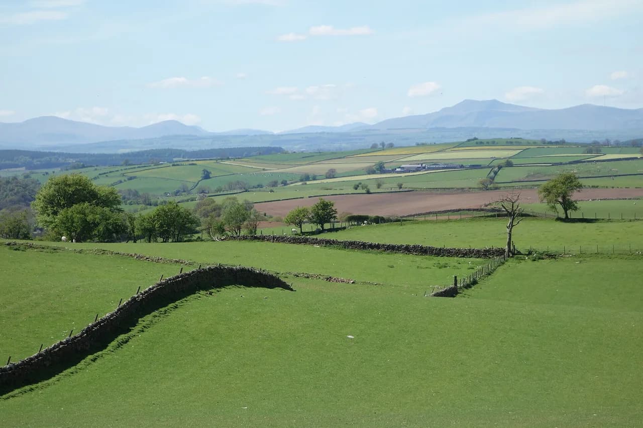
The Coledale Horseshoe wraps a ring of Lake District fells around the head of Coledale, the hanging valley above Braithwaite, and it rewards hikers who want a long, varied day rather than a quick summit. The standard round takes in Grisedale Pike, Hopegill Head, Crag Hill, Sail and Outerside, with steep climbs, short rocky scrambles and long ridge sections above the valley.
It suits fit hikers with fellwalking experience and a head for exposed ground, not a first day out in the hills. There is no single official line, so the length and difficulty depend on which fells you include.
What the Coledale Horseshoe is and who it suits
Coledale is a glacial hanging valley above Braithwaite, and the horseshoe is the semi-circle of fells that encloses it. The minimum set usually includes Grisedale Pike, Hopegill Head, Crag Hill, Sail and Outerside, and many walkers add Stile End or Barrow on the return.
Terrain is rough throughout: steep grass, loose stone, short rocky steps that need hands in places, and soft boggy ground between some tops. WalkLakes rates the standard round 15.0 km (9.3 miles) with 1,178 m (3,865 ft) of ascent and a minimum time of just under five hours, terrain grade 4 out of 5 and technical difficulty 4 out of 5.
If you follow the Wainwrights, this is a good day for collecting several of them in one outing, and the choices widen if you want more. The Wainwrights are the 214 fells listed by Alfred Wainwright, and the Coledale skyline holds a dense cluster of them.
For a wider choice of days in the same national park, see the hiking in lake district guide, which covers valley, lakeside and summit routes beyond this valley.
Trailhead in Braithwaite and getting there
Braithwaite sits just off the A66 west of Keswick, and most people drive. WalkLakes gives the start grid reference as NY229236 near Braithwaite, Derwent Water and Keswick, with OS Explorer OL4 as the 1:25,000 map.
The village is the natural start: walk through Braithwaite to the Whinlatter Pass road, turn left and follow the road up to the small car park at the track end for Force Crag Mine. From there, steps just inside the car park entrance lead steeply onto the fell.
Another route begins by parking on the minor road near the A66 opposite Braithwaite, crossing the road and walking west into the village before climbing south-west toward Grisedale Pike. That adds a short road section at each end but avoids hunting for a space in the village.
Trailhead parking
Parking is the main practical constraint, and the choice affects your finish. WalkLakes notes that parking is available at the village school in the summer holidays, with some on-street spaces around the village otherwise.
Near the bottom of Whinlatter Pass there is a small car park, perhaps for a dozen cars, that is handy for the ascent of Grisedale Pike, though the short climb back up to it at the end of the day may feel unwelcome. There is also a campsite in Braithwaite, handily placed for the start.
For the outer-ridge version that finishes over Barrow, the A66-side road gives the shortest walk back into the village at the end. Whichever you choose, arrive early on summer weekends and bank holidays, since the village spaces and the pass car park are limited.
Distance, ascent and time
There is no single official figure, so match the route to your day. The standard round from WalkLakes is 15.0 km (9.3 miles) with 1,178 m of ascent and a minimum time of 4 hours 58 minutes, with the caveat that this is moving time for a fit party.
An extended version that adds Whiteless Pike and Wandope runs about 19.75 km (12.5 miles) with 1,487 m (4,879 ft) of ascent and roughly 7.5 hours, taking in eight Wainwrights. A mapped GPS version with a tighter line logs 16.7 km (10.4 miles) and around 1,000 m (3,281 ft) of ascent, taking about 6.5 hours.
Shorter options exist for those with less time or energy. A shorter Coledale round, a low-level round to Force Crag Mine, or the out-and-back to Grisedale Pike and Hopegill Head all cut the distance and ascent considerably; braithwaite-based walkers can pick one the night before rather than committing to the full horseshoe.
Route description: Braithwaite to Kinn and Sleet How
From the Whinlatter Pass car park, the steps climb steeply before the path eases and runs parallel with the pass road, then swings left to double back along a small spur climbing south toward Kinn. Cross the fence at the step stile, with a dog gate alongside, and bear right on the continuing path.
Kinn is a minor bump on the spur, with good views down the length of Coledale to Force Crag and Crag Hill, and the first real look at Grisedale Pike. From Kinn the path drops to a shallow depression before climbing a steep grass bank onto Sleet How.
Sleet How is the crux of the ascent: a narrowing ridge that feels airy, steep, loose and stony, with rocky outcrops you can use or avoid. It is not long, but it uses hands in places and demands care on the descent, so keep it early in the day rather than late.
Grisedale Pike, Hobcarton Crag and Hopegill Head
Grisedale Pike summit is a rock outcrop just beyond the top of the steep climb, marked by a small cairn and standing at 791 m (2,595 ft). From there, follow the line of old rusting fence posts south-west, which makes the way clear even in mist, then drop left as the little ridge ends abruptly.
Swing through west to north-west along the edge of Hobcarton Crag to the dramatic rocky outcrop of Hopegill Head at 770 m (2,526 ft). Leave the summit slightly east of south, sharply left from the direction of approach, climb to the cairn on Sand Hill and drop through scree onto Coledale Hause.
The grassy platform between hops has a shallow puddle that hints at how wet the plateau can be. After rain, expect the ridge tops to hold water and the path to be slicker on the rock steps, which makes the Hobcarton Crag edge a place to slow down.
Coledale Hause and the climb to Crag Hill
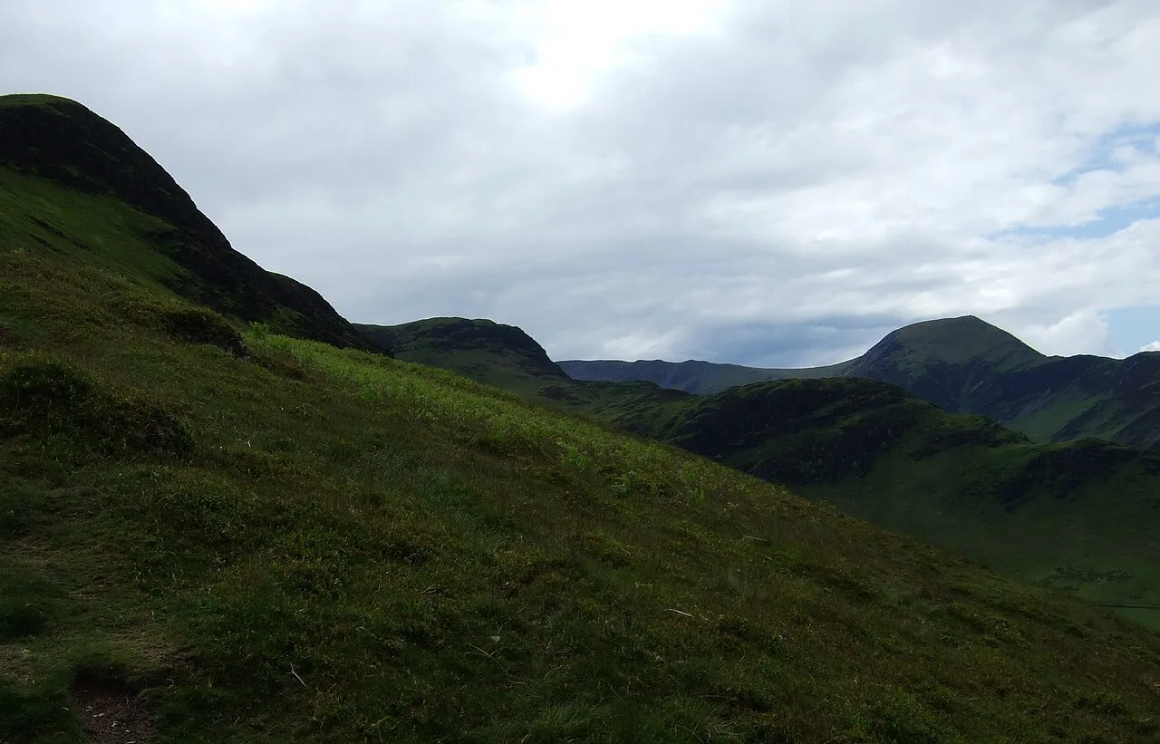
Coledale Hause is the halfway point and a straightforward crossroads of paths on a wide grassy col. West goes down Gasgale Gill to Crummock Water, east drops into the Coledale Beck valley toward Braithwaite, and straight on serves Grasmoor, Crag Hill or Whiteless Pike, which matters most in mist.
Cross the Hause keeping slightly right to join the infant Liza Beck as you climb between Grasmoor on your right and Crag Hill on your left; the beck is a reliable source of water on the way, though you may want to refill slightly further up. At the junction of paths, turn left up the wide path to the trig point on Crag Hill.
Crag Hill, known as Eel Crag on some maps, is the highest point of the horseshoe at 839 m (2,753 ft). The view runs down Coledale to Keswick, Skiddaw and Blencathra, and on a clear day stretches to the northern Pennines.
The Scar, Sail and the descent options
From the trig point, head first south-east and then east along a scattered line of cairns to the top of The Scar, which drops quite steeply to a col. Two rocky steps on the way down look harder than they are and scramble easily, but they are the place to take care in wet weather.
Sail, at 773 m (2,536 ft), is a domed top with a path that bypasses the summit cairn and its puddle. From Sail, the choice opens up: turn left onto the zigzags toward the col before Scar Crags for the outer ridge over Causey Pike, or bear right across the northern face of Scar Crags on an airy terrace toward Outerside.
For a shorter day from Sail, drop directly down toward Braithwaite rather than continuing around the inner ridge. That decision saves time but misses Outerside and Barrow, so make it on the summit rather than at the col.
Outerside and the return ridge
On the inner-ridge line, the path runs across the northern face of Scar Crags along a fine airy terrace, with the Force Crag Mine buildings visible below and Grisedale Pike looming above. Turn left at a small cairn, cross boggy ground and climb Outerside's south-west ridge through heather to the rocky summit at 568 m (1,864 ft).
From Outerside, carry on down the long north-east ridge. Stile End lies ahead across a boggy depression; unless you want to climb it, watch for the path turning off left in the bottom, which is not entirely obvious at first. The path then becomes clearer along the north-west side of the fell, with Coledale falling steeply on your left.
Lower down you are funnelled between a wall on the left and Barrow Gill on the right before joining a concrete road and going through the gate onto tarmac. At the T-junction, turn left for the Whinlatter road car park or right for the school, campsite and rest of the village.
Adding Whiteless Pike and Wandope, or the outer ridge
The western additions make the day much bigger. From Coledale Hause, continue south over Wandope Moss and traverse Whiteless Edge to Whiteless Pike at 660 m (2,165 ft), then retrace your steps and climb to Wandope at 772 m (2,533 ft) before crossing to Crag Hill.
The outer ridge is a different trade-off: from Sail, the line over Scar Crags and Causey Pike gives a tighter, more continuous crest and drops you back to Braithwaite by a different descent. It is the version to choose if you value ridge walking over collecting summits, and it can be shortened by skipping Barrow.
The extended version with the western tops adds roughly 4.75 km (3 miles) and 309 m (1,014 ft) of ascent over the standard round, and the time rises from about five hours to around seven and a half. Those figures come from the published route and are a fair guide to how much the extras cost.
Water, terrain and navigation
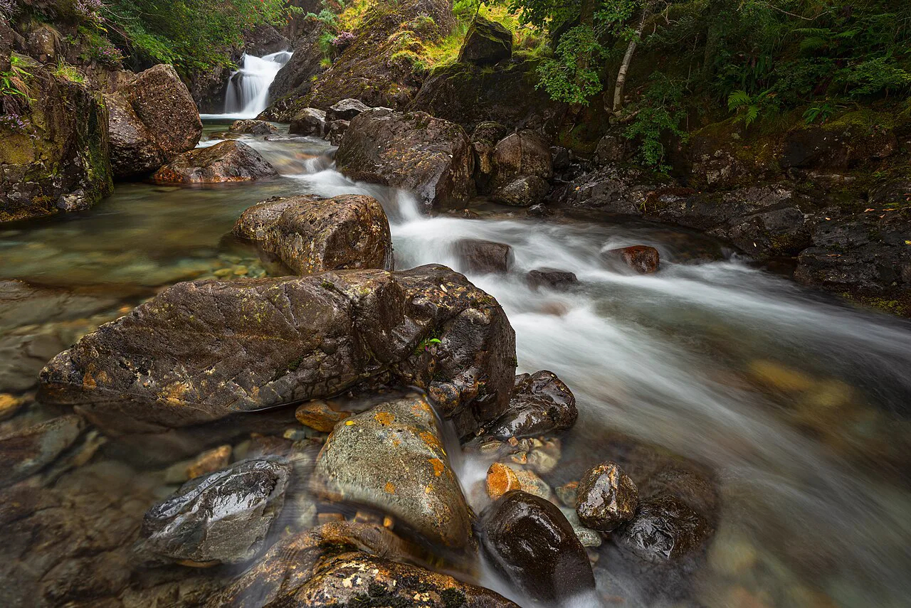
Water is scarce on the high ground. The beck alongside the path just after Coledale Hause, when heading for Crag Hill, and the infant Liza Beck on the climb are the practical refill points, so carry enough to reach them and treat anything you take from the fell.
The route mixes steep grass, loose stone, short scrambles and boggy cols. Komoot's mapping of the round classes the surface as largely unpaved and alpine, with several steep climbs, and it advises sure-footedness and sturdy shoes for the terrain.
Mist changes the day: follow the old fence posts off Grisedale Pike, take a bearing at Coledale Hause, and keep the map out on The Scar, where the cairns are the main guide. Snow lingers on the northern and eastern faces early in the season, and afternoon cloud can build quickly on the tops.
When to go
Late spring to early autumn is the natural window. In summer, bracken lines the lower paths and gradually gives way to heather as height is gained, which is most noticeable on Outerside, while Stile End can be awkward once the bracken is thick.
Winter and early spring demand more: short daylight, snow and ice on the north-facing sections, and rock steps that become harder without an axe and crampons. If you go then, plan a shorter out-and-back and turn around early rather than committing to the full round.
Check the fell-top forecast on the morning of the walk and compare it with the daylight left. A summer start gives most margin, but even then the ridge from Grisedale Pike to Crag Hill takes longer than the map suggests.
Maps and kit
Carry OS Explorer OL4, the 1:25,000 map of the north-western Lake District, which shows the paths and open access land well. The walk spans the 1:50,000 sheets 89 and 90 if you prefer the larger scale, but the detail on the ridge is worth the bigger map.
Take boots with stiff soles, a waterproof shell, a warm layer for the tops, a map and compass and enough water for the exposed sections. Poles help on the loose descents from Sleet How and The Scar, and a head torch is sensible if the day runs long.
Where to base yourself
Braithwaite works as a base because the walk starts from the village. The campsite in Braithwaite is handily placed for the start, and Keswick, a few miles east, offers a wider choice of beds and supplies.
The horseshoe sits close to other days out: a catbells walk above Derwent Water is a gentler option for a rest day, and the striding edge route on Helvellyn gives a harder, more exposed outing if you have the legs for it. If you want to compare this horseshoe with long ridge days further afield, the Yorkshire Dales hiking guide covers similar high-level rounds.
Plan Your Visit
The Coledale Horseshoe rewards a proper plan: pick the version that matches your fitness and daylight, park where it suits your finish, and start early enough to enjoy the ridge rather than chase it. The standard round, the inner-ridge version over Outerside and Barrow, and the longer western additions all reward the effort.
Take your time on Sleet How and The Scar, refill at the beck after Coledale Hause and keep the map out on the tops. That is the difference between a fine day and a long one.
Frequently Asked Questions
How hard is the Coledale Horseshoe?
It is a hard fell day. The standard round covers steep, loose and rocky ground, including the narrowing ridge of Sleet How and the rocky steps on The Scar, with short sections where hands are useful. WalkLakes rates it 4 out of 5 for terrain and 4 out of 5 for technical difficulty, so it suits hikers with hill experience and a good level of fitness.
How many Wainwrights are in the Coledale Horseshoe?
The minimum round visits five Wainwrights: Grisedale Pike, Hopegill Head, Crag Hill, Sail and Outerside. Adding Stile End or Barrow lifts the count, and the extended version over Whiteless Pike and Wandope takes in eight.
How long does the Coledale Horseshoe take to walk?
The standard round is listed with a minimum time of just under five hours; an extended version is described as roughly seven and a half hours. Allow more for stops and a slower pace, especially on the loose descents and the ridge sections.
Where can I park for the Coledale Horseshoe walk?
Parking options include on-street spaces in Braithwaite, the village school car park in the summer holidays, a small car park near the bottom of Whinlatter Pass and a minor road near the A66 opposite the village. Each makes a different finish, so choose before you set off.
Is there water on the Coledale Horseshoe route?
The practical refill points are the beck just after Coledale Hause on the way to Crag Hill and the infant Liza Beck on the climb. Treat any water you take from the fell, and carry enough to reach those points.
What is the highest point of the Coledale Horseshoe?
Crag Hill, also called Eel Crag, is the highest point at 839 m (2,753 ft). Grisedale Pike reaches 791 m and Hopegill Head 770 m, so the western and central tops are the main climbing of the day.
Sources
Trail notes for your next trip
Optional updates when we add or revise hiking guides.
You might also like



Continue reading
More guides you'll find useful





