Walks in the Yorkshire Dales: Hikes by Distance and Level
Plan walks in the Yorkshire Dales with twelve hikes grouped by distance, from village waterfall loops to full fell days on Malham, Ingleborough and Whernside.
On this page
The Yorkshire Dales packs limestone cliffs, hay meadows, waterfall gorges and bare summits into a compact block of northern England, so one trip can hold a two-hour riverside ramble and a twelve-mile fell day. The walks below are grouped by how long they take, which lets you pick from the half of the list that fits your available daylight rather than choosing on scenery alone. Villages such as Malham, Clapham, Kettlewell and Hawes put you at a trailhead with a café or pub at the finish.
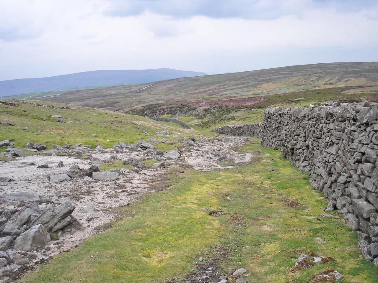
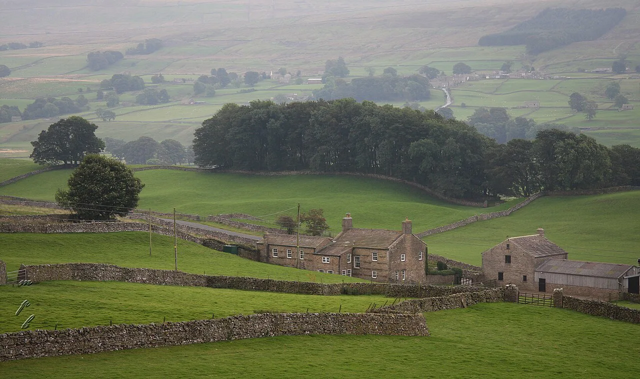
Most valley-floor routes here are riverside paths and field tracks, while the fell days climb onto open moorland and limestone pavement where weather changes fast and the ground stays wet underfoot. If you want an easier introduction to the region, start in Wharfedale or Wensleydale and save the Three Peaks summits for a settled forecast.
How the Dales is laid out
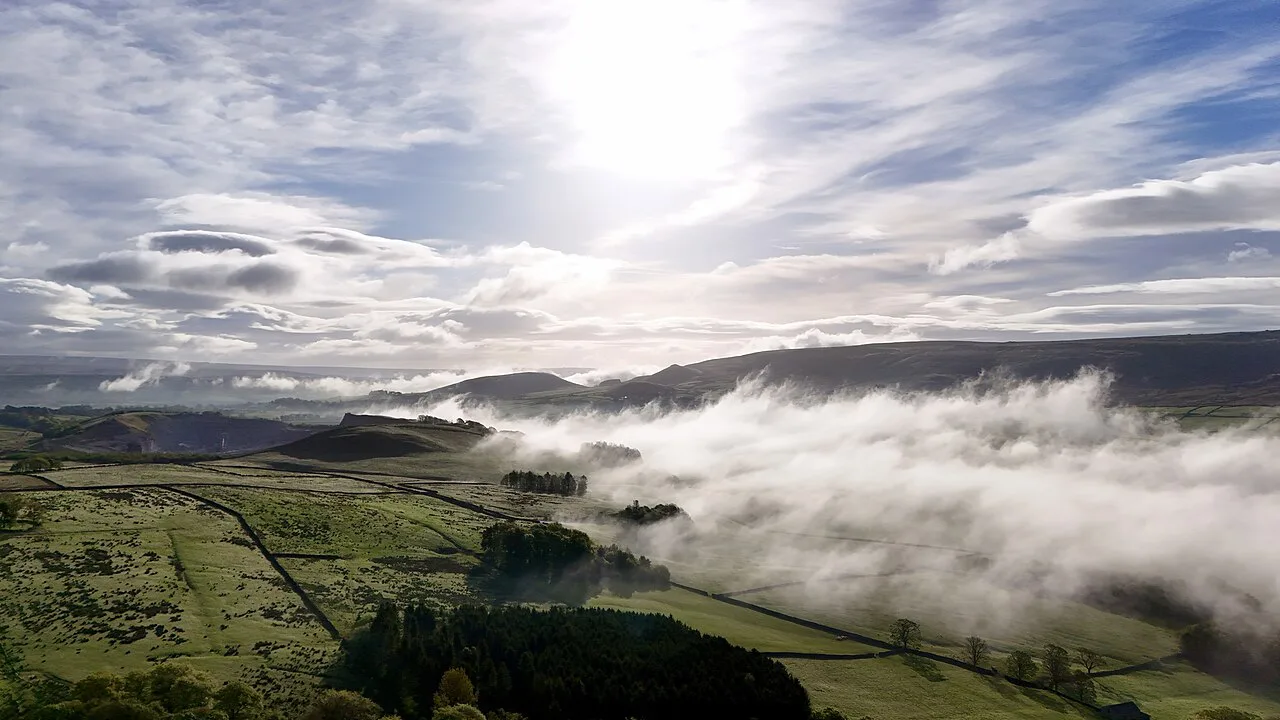
The park divides into dales running roughly south to north, each with its own character and its own trailhead villages. Wharfedale gives you the River Wharfe and the villages of Burnsall, Grassington and Kettlewell; Wensleydale centres on Hawes and the Aysgarth Falls; Swaledale runs through Muker and Keld with some of the best hay meadows in the park. Ribblesdale holds the Three Peaks country around Ribblehead and Clapham, and the high ground between the dales is open moorland and summits that rise to 736 m (2,415 ft) at Whernside.
Settle at a single base if you want short drives to trailheads on consecutive days, or move between dales if you plan to walk both Swaledale and the Three Peaks. Road distances between dales are modest but lanes are narrow and slow, so two walks in one day usually means one in the morning and a shorter one nearby in the afternoon.
Short walks under 5 miles (8 km)
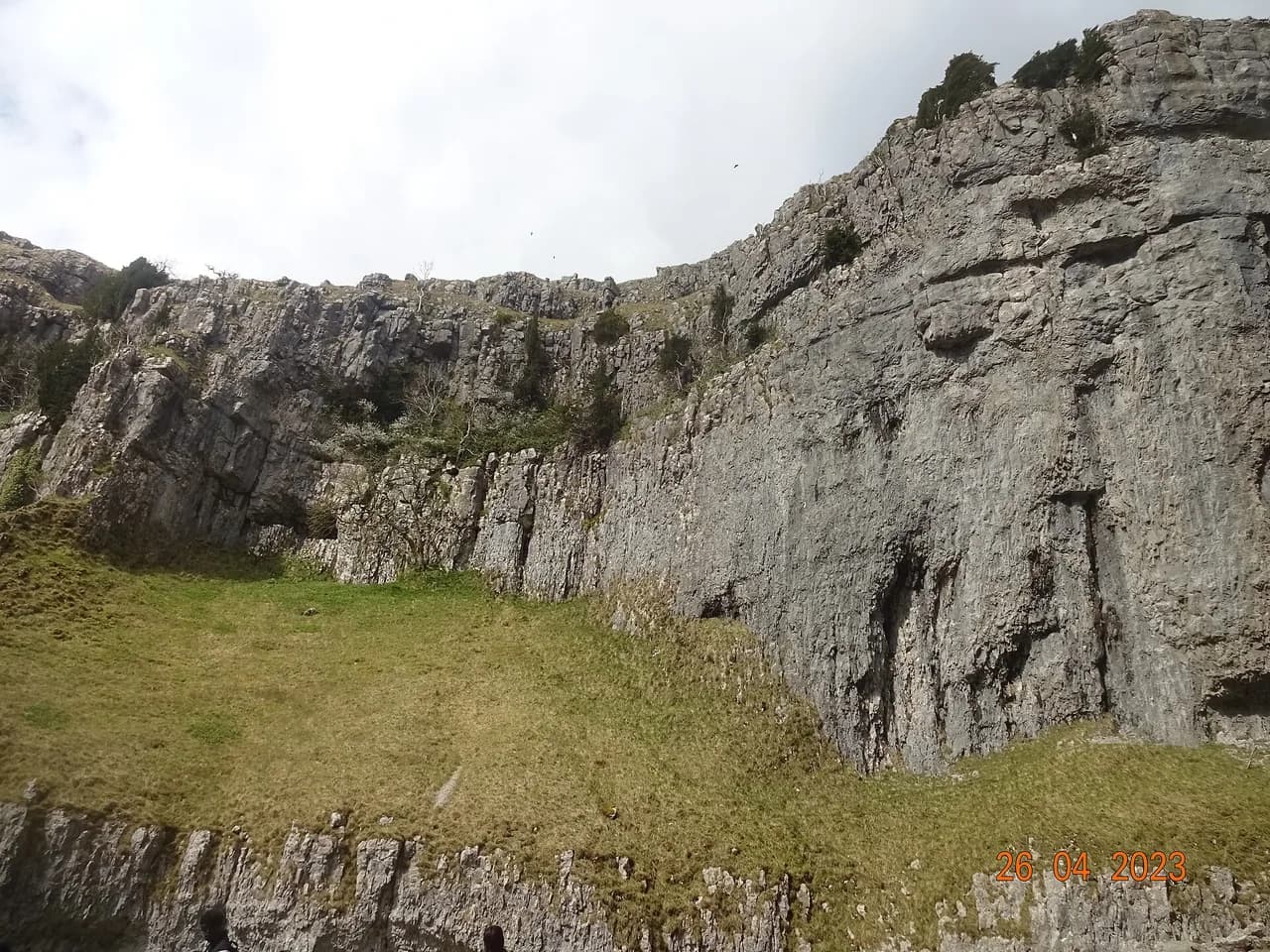
The headline short walk is the Malham circuit, which links the village to a limestone cliff, two waterfall sites and a limestone pavement in a single loop. The compact version runs about 4.5 miles (7.2 km), climbing from Malham to the cove and returning past the falls and gorge, with the steepest ground on the climb up beside the cliff face. Do it as a walk from the village car park and you have a pub and café at both ends. Full route detail sits in the Malham Cove walk guide.
The Ingleton Waterfalls Trail is a 4.5-mile (7.2 km) circular from the village of Ingleton that takes in a series of falls on two rivers, with Thornton Force the most dramatic drop. Walking it takes two to three hours at an easy pace, and parking at the trail start is included with trail access rather than sold separately. Expect wet rock and roots after rain, and wear boots with grip rather than trainers.
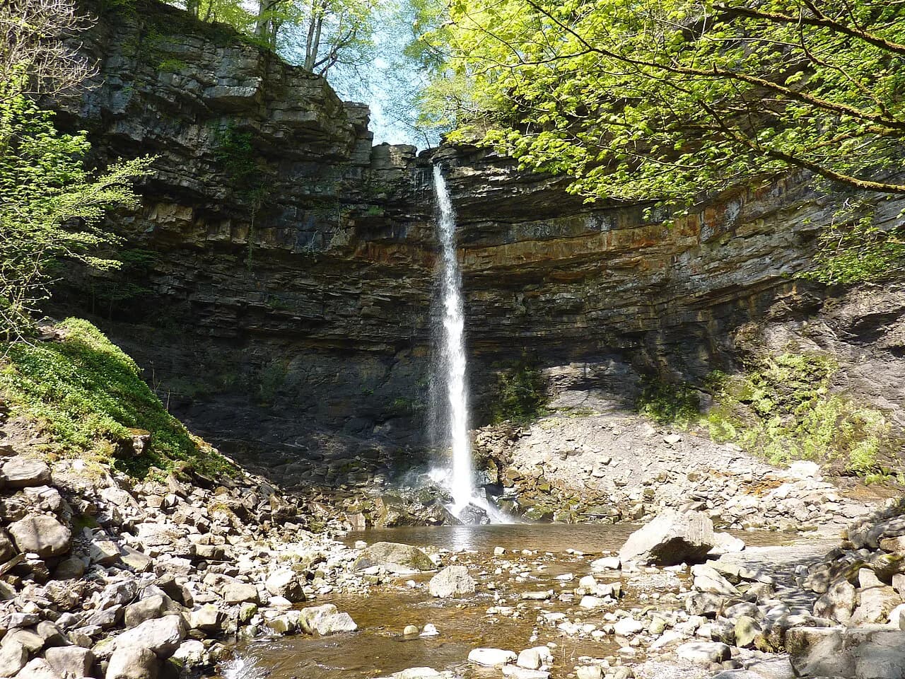
From Hawes, a four-mile (6.4 km) loop follows the Pennine Way out of town to Hardraw Force and returns over fields past Sedbusk village, taking roughly two to two and a half hours. The waterfall sits on private land and charges adults an admission fee to enter, so bring cash or a card for the entrance. The hardraw force walk pairs well with an afternoon in Hawes itself, where the national park car park charges for parking.
Half-day walks of 5 to 8 miles (8 to 13 km)
Wharfedale's riverside walk from Burnsall through Grassington and on to Hebden covers about seven miles (11 km) and takes three and a half to four hours, following the River Wharfe and passing Linton Falls before returning along the river and a swing bridge. The valley floor is gentle, which makes this a good choice when the tops are in cloud, and Burnsall has a car park at the start and a pub at the finish.
In Wensleydale, the Aysgarth Falls and Castle Bolton loop is about 6.5 miles (10.5 km) with three to four hours of walking, visiting all three tiers of the falls and passing through wildflower fields below a fourteenth-century castle. Start at either Aysgarth Falls or Bolton Castle; both have charged parking, so pick whichever shortens your drive and plan on three to four hours on foot. June brings the wildflowers out around Castle Bolton.
Swaledale's best half-day-plus route is an 11-mile (17.7 km) loop from Muker through meadow and along the River Swale to Keld, climbing past the ruins of Crackpot Hall and returning over Ivelet Moor and Ivelet Bridge. Allow five and a half to six hours. Muker has free laybys and a charged car park, and the hay meadows are at their best in June, so time the walk for early summer if flowers are the draw.
Full-day fell walks
The full Malham circuit stretches to about 8.5 miles (13.7 km) and three and a half to four hours by adding Malham Tarn to the cove, gorge and waterfall sequence. This version gives you the limestone pavement above the cove and the open water of the tarn, with the steepest climbing early in the day. Malham's car park charges, so arrive with a plan for the day rather than a quick stop.
Ingleborough from Clapham is a 12-mile (19 km) day with five and a half to six hours of walking, passing Ingleborough Cave and Gaping Gill before the climb over Little Ingleborough to the summit and back by the Dales Highway and Pennine Way. Clapham has a charged national park car park and some free street parking. The summit plateau is exposed and the path crosses limestone pavement where a slip is easy in wet weather.
Great Whernside from Kettlewell is about eight miles (13 km) and four to four and a half hours, climbing past the Hag Dyke hostel to the summit ridge before dropping to Starbotton Road and following a bridleway back to the village. Kettlewell has national park parking plus a cheaper car park just past the bridge. The climb is sustained and the descent rough in places, so allow the full half day.
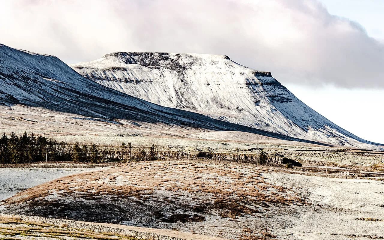
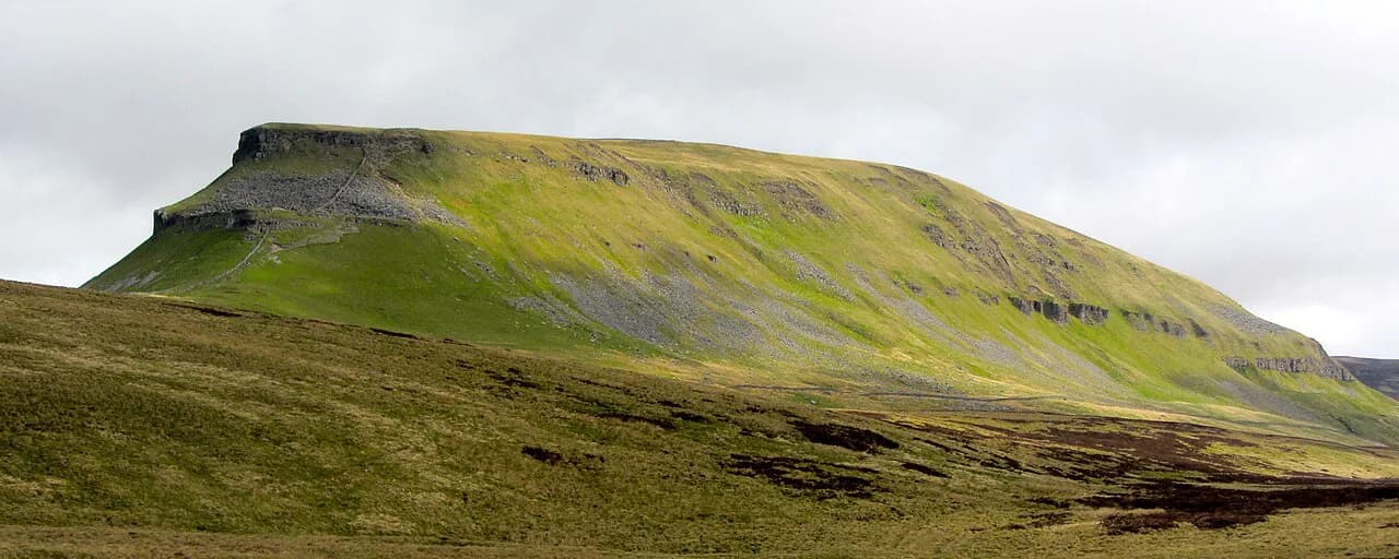
Whernside is the highest summit in the national park at 736 m (2,415 ft), and the classic approach starts near Ribblehead, where the railway viaduct sweeps across the valley a short walk from the parking area. The climb is steady rather than technical but long, and the top is exposed to wind and rain. Many walkers link it with Pen-y-ghent and Ingleborough as the yorkshire three peaks, an outing that summits all three within 12 hours; treating them as three separate days is the better way to see each summit.
Trailheads, parking and getting there
Almost every walk on this list starts from a village with a charged car park: Malham, Clapham, Kettlewell, Hawes, Ingleton, Burnsall, Aysgarth and the trailheads around Ribblehead all take payment, and some also have free roadside alternatives a short walk away. Popular spots fill early on summer weekends, so arriving before mid-morning makes the difference between parking in the village and parking a mile out.
Trains reach the Dales at Ribblehead and Settle on the Settle to Carlisle line, which puts the Three Peaks country within walking distance of a station, and Hebden Bridge to the south has rail connections that let you walk from the train. Bus routes link the main dales towns, but services are sparse and you should build the day around a confirmed return service rather than assume one.
Where to base yourself
Malham suits the cove, gorge and tarn walks on foot from your door; Kettlewell is the natural base for Great Whernside and Upper Wharfedale; Clapham puts Ingleborough and the Gaping Gill area close by; Hawes covers Wensleydale and Hardraw Force; and Muker gives you Swaledale meadows without a drive. Pick one base per two or three days rather than touring daily.
For overnight accommodation, the Hag Dyke hostel sits on the Great Whernside ascent from Kettlewell, and the villages themselves have inns and guesthouses. Book ahead for summer weekends and the hay meadow season, when Swaledale and Wharfedale are busiest.
When to go
Late summer is the strongest season: the heather is out on the moors and the hay meadows in Swaledale are cut after flowering, so June and late August give you the two best displays. Spring brings waterfalls at full volume from snowmelt and rain, while autumn gives clearer air and fewer walkers on the popular loops.
Winter walking here is realistic on valley routes but the fell tops hold snow and ice, and the limestone pavement above Malham becomes slick. Short daylight means starting early and carrying a headtorch on any full-day route. Afternoon cloud building over the summits is the signal to descend rather than push on.
What to carry and the real hazards
Boggy moorland between the dales soaks boots, so waterproof footwear and gaiters earn their place on any route crossing open ground. Limestone pavement is uneven and hides holes between the blocks, which makes it slow going and ankle-turning in wet conditions. Carry a paper map and compass as well as a phone, since signal comes and goes in the dales.
On the summits, wind and driving rain arrive quickly even on a clear morning, so pack a shell and spare layers for Ingleborough and Whernside. Rivers rise fast after rain, which matters on the Ingleton trail and the Wharfe riverside paths. In hot spells, carry enough water for the full day because refill points between villages are limited.
Practical rules and costs on the ground
Private land and admission charges apply at a few sites: Hardraw Force charges adults to enter, the Ingleton Waterfalls Trail folds access into its charged car park, and most village car parks in the park take payment. Plan cash or card for these small costs, and keep to marked paths across farmland and meadows.
Popular routes such as the cove path and the Ingleton trail show wear, and staying on the main line rather than cutting new tracks keeps them in shape. If you are extending your trip beyond the Dales, hiking in the Lake District or hiking in Wales gives you comparable mountain days with different terrain, and the Peak District Hiking Guide: Choosing Your Best Routes covers a shorter, more compact alternative further south.
Plan Your Visit
Choose your walk by the time you have: a waterfall loop from Ingleton or a short Malham circuit for a half day, Wharfedale or Aysgarth for a comfortable middle distance, and Ingleborough, Great Whernside or the Whernside ridge when you have a full day and a settled forecast. Base yourself in one dale for two or three nights and you cut the driving to a minimum.
Book village accommodation early for June and late August, arrive at charged car parks before mid-morning, and carry cash or card for admission and parking charges. On fell days, start early, watch the cloud building on the tops, and turn back rather than push through a worsening forecast.
Explore more Yorkshire Dales hiking guides
- Aysgarth Falls Walk
- Grassington Walks
- Hardraw Force Walk
- Ingleborough Walk
- Ingleton Waterfalls Trail
- Malham Cove Walk
- Pen-y-Ghent Walk
- Ribblehead Viaduct Walk
- Whernside Walk from Ribblehead Viaduct
- Yorkshire Three Peaks
- Gordale Scar Walk from Malham
- Janet's Foss Walk from Malham
- Malham Walk
- Reeth Walks
- Settle Walks
- Easy Walks in the Yorkshire Dales
Frequently Asked Questions
How long does the Malham Cove circular walk take?
The compact Malham loop is about 4.5 miles (7.2 km) and takes a couple of hours at an easy pace, climbing from the village to the cove and returning past the waterfall and gorge. The longer version that adds Malham Tarn runs about 8.5 miles (13.7 km) and takes most of a half day.
Do you need to pay to walk the Ingleton Waterfalls Trail?
Yes. The trail is a paid access route, and the parking charge at the trail start is included in the access fee rather than sold separately. Check the current charge with the trail operator before you travel, since it is a private route rather than open countryside.
Can you walk Ingleborough from Clapham without a car?
Clapham is the practical trailhead for the 12-mile Ingleborough route, and the village is served by rail and bus connections in the dales network. Services are limited, so plan the day around a confirmed return connection.
When is the best time to see the hay meadows in Swaledale?
The meadows around Muker and Keld are at their best in June, when the wildflowers are in bloom. The Muker to Keld loop is about 11 miles (17.7 km) and takes five and a half to six hours, so start early to combine the flowers with a comfortable finish.
Is the Yorkshire Three Peaks challenge doable in a day?
The challenge involves summiting Pen-y-ghent, Whernside and Ingleborough within 12 hours, which is a long day on rough ground with a lot of ascent. Most walkers get more out of the area by treating the three as separate fell days, each with its own trailhead and its own character.
Which Yorkshire Dales walks are best in winter?
Valley routes such as the Wharfe riverside path between Burnsall and Grassington, the Ingleton Waterfalls Trail and the shorter Malham circuit cope best with winter conditions, though all can be muddy and slick. The fell summits hold snow and ice and shorten the usable daylight, so save Ingleborough and Whernside for a settled forecast and a full day.
Sources
Trail notes for your next trip
Optional updates when we add or revise hiking guides.
You might also like
Continue reading
More guides you'll find useful