Ingleton Waterfalls Trail: Route, Length and Parking
Walk the Ingleton Waterfalls Trail in the Yorkshire Dales: 7.2 km (4.5 miles) clockwise past Pecca Falls and Thornton Force, with parking and timing notes.
On this page
The Ingleton Waterfalls Trail delivers a remarkable concentration of falling water in a single half-day: the River Twiss tumbles through Pecca Falls and Hollybush Spout to Thornton Force, then the return leg follows the River Doe past Beezley Falls and Baxenghyll Gorge. It suits families, photographers and anyone with a spare morning or afternoon who wants a scenic walk without a long mountain approach. The route is waymarked and runs one-way, so you can settle into a steady pace and let the sequence of falls unfold.
This is a valley walk rather than a summit day, but it is not a flat stroll: the path mixes unpaved ground, steep stepped sections and a few exposed viewpoints above the water. The official trail page gives the length as four and a half miles (7.2 km) and the walking time as two to four hours depending on how often you stop. Treat it as a proper half-day outing with walking shoes rather than a quick roadside detour.
What the Trail Offers and Who It Suits
The appeal is variety within a short distance. You walk beside two rivers, pass five named falls and cross open pasture between wooded ravines, so the scenery changes every twenty minutes or so. Photographers will want to linger at Thornton Force in particular, where the water drops 46 feet (14 m) over a limestone cliff. Families with children old enough to manage steps will find plenty to keep them interested.
Walkers looking for a full day in the Dales should treat this as one component of a longer trip. The trail is a gentle introduction to the area, and it pairs well with the wider network of walks in yorkshire dales routes that range from riverside paths to open moorland. If you want a bigger challenge, the Yorkshire Three Peaks is a separate and much more demanding day out. Walkers weighing up a short valley circuit against a full day on the fells may also find the Peak District hiking guide useful for comparing similar choices.
Where the Trail Starts and Ends
The trail begins and finishes in Ingleton village, on the western edge of the Yorkshire Dales. The start point sits right next to a parking lot, which makes it straightforward to arrive by car and set off on foot. The official trail page describes the walk as one-way in a clockwise direction, so you begin along the River Twiss and return along the River Doe.
Because the route is a loop, you finish where you started and do not need to arrange a pickup or a second car. Allow a few minutes at the end to walk back through the village for a drink or a look at the shops. If you are arriving by public transport, check the current bus and rail connections to Ingleton before you travel, as timetables change with the season.
Distance, Ascent and Walking Time
The official trail page gives the total length as four and a half miles (7.2 km) and suggests between two and four hours to complete the circuit. Komoot records 6.91 km (4.3 miles) with 160 m (525 ft) of ascent and the same amount of descent, at roughly two hours of walking. The two figures are close enough that the difference comes down to how often you stop at the falls and viewpoints.
A brisk walker who keeps moving can finish in about two hours, but most people take closer to three once they have paused at Pecca Falls, Thornton Force and Baxenghyll Gorge. AllTrails independently records the loop at 4.3 mi (6.9 km) with about 620 ft (189 m) of elevation gain and a time of two to two and a half hours, which supports the shorter end of the range. Plan on half a day if you want to enjoy the falls rather than rush past them.
How the One-Way Clockwise Route Works
The clockwise direction is not a suggestion but the way the trail is designed to be walked, so you follow the River Twiss upstream first and the River Doe downstream on the return. This means the outward leg has the steeper climbing alongside the falls, while the return is gentler and follows the water down toward the village. Signage at the start makes the direction clear, and once you are on the path the sequence of named falls keeps you on track.
Because the route is one-way, you cannot simply turn around when you feel like it and expect to retrace your steps without meeting other walkers head-on. The official trail page confirms the clockwise layout, so plan your day around completing the full loop. If you are walking with young children or anyone who tires easily, the shorter first section to Pecca Falls still gives you a taste of the trail before the bigger climbs.
Route Description: River Twiss to Hollybush Spout
From the start, the path climbs gently beside the River Twiss through woodland. Pecca Falls arrives at about 1.7 km (1.1 miles) into the walk, and its lower drop is the highest of the group, with a good view from the path. Shortly after, at roughly 1.8 km (1.1 miles), Hollybush Spout sends a powerful jet of water about 30 feet (9 m) down a narrow rocky cleft.
This first stretch includes stepped sections that can be slippery after rain, so take your time and use the handrails where they are fitted. The river is never far from the path, which makes it easy to gauge your progress by the sound of the water. Keep an eye on the children near the viewing points, as some drops are unfenced.
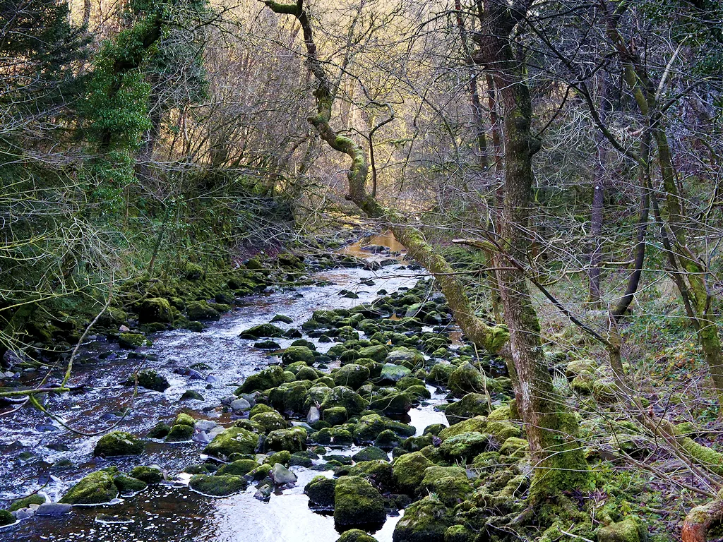
Thornton Force: The Signature Waterfall
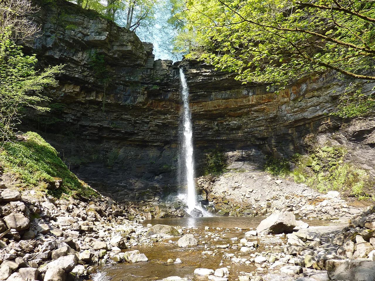
Thornton Force is the highlight for most walkers, appearing at about 2.2 km (1.4 miles) into the clockwise route. The water falls 46 feet (14 m) over a limestone cliff, and the rock layers behind the fall are clearly visible from the path. The viewing area is close enough to feel the spray on a breezy day, so a light waterproof layer is useful even in summer.
The path around Thornton Force involves a short climb and some uneven ground, which is where the sure-footedness noted in route descriptions matters most. Walkers in sandals or smooth-soled shoes will find this section uncomfortable. After the fall, the route continues upstream before turning across the valley toward the River Doe.
Beezley Falls, Baxenghyll Gorge and the River Doe Return
The return leg along the River Doe begins with Beezley Falls at about 4.2 km (2.6 miles), where the water drops in two sections. A short distance later, around 4.4 km (2.7 miles), a viewing bridge at Baxenghyll Gorge looks down into a dramatic ravine with the river far below. This is the most exposed viewpoint on the trail, so anyone uneasy with heights should cross the bridge steadily and look ahead rather than down.
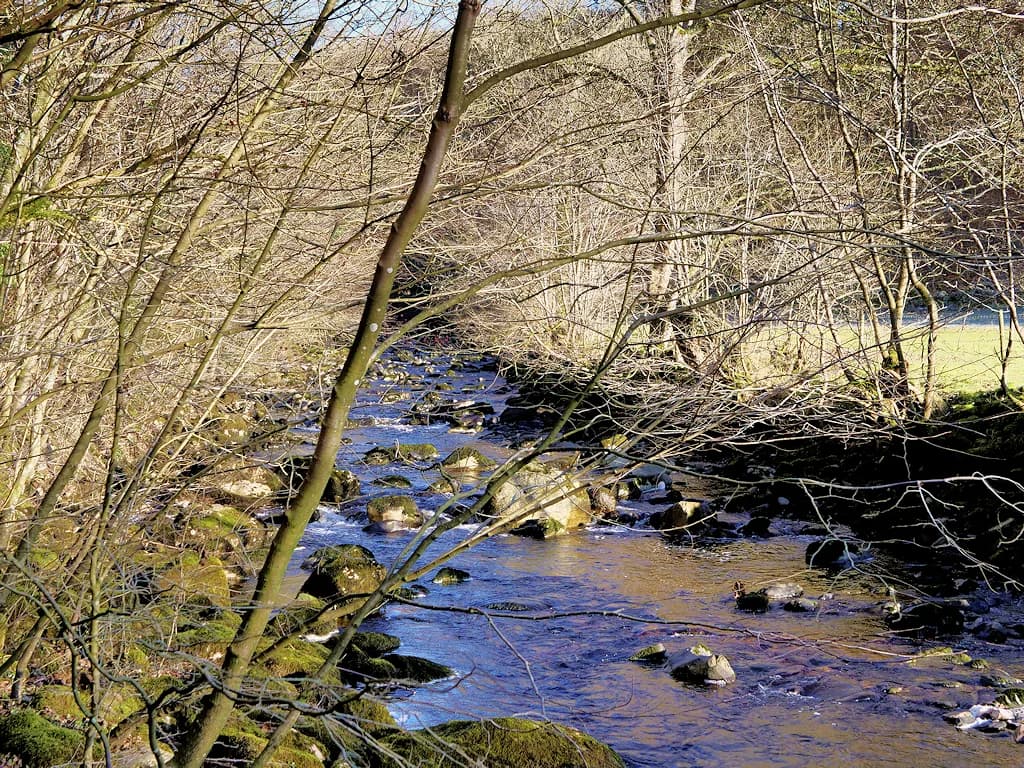
From the gorge, the path follows the Doe downstream back toward Ingleton, losing height gradually on a mix of gravel and paved surfaces. The final section passes through woodland and open ground before returning to the parking area. Komoot logs the whole loop at 6.91 km with 160 m of ascent and descent, which reflects the gentle gradients of this return half.
Path Surfaces, Steps and Exposure
The trail is not a uniform gravel path. Komoot breaks the surface down as roughly 3.4 km (2.1 miles) of hiking path, 2 km (1.2 miles) of rougher mountain hiking path, and smaller amounts of paved and gravel track. That mix means the walking is mostly straightforward but includes rocky, stepped and potentially muddy sections after rain. Sturdy shoes with good grip are the sensible choice.
The route is rated moderate, which reflects the steps and the exposed viewpoints rather than any technical difficulty. Sure-footedness is required on the steeper sections beside the falls, and the Baxenghyll Gorge bridge is not the place for anyone with a strong fear of heights. In wet weather, the wooden steps and rock slabs can be slick, so shorten your stride and use the handrails.
When to Go
Autumn is a strong season for this walk, when the woodland along the Twiss and Doe turns gold and the falls carry good water after autumn rain. Spring brings fresh growth and usually reliable flow, while summer offers the longest days but also the busiest paths. Winter can be atmospheric, but short daylight and wet, icy steps make it a less forgiving choice for families.
The official trail page highlights autumn walks as a particular draw, which aligns with the leaf colour in the wooded gorges. Water levels vary through the year, so the falls are at their most dramatic after sustained rain rather than in a dry spell. Check the forecast before setting out and dress for changeable Dales weather.
Facilities at the Trailhead and in Ingleton
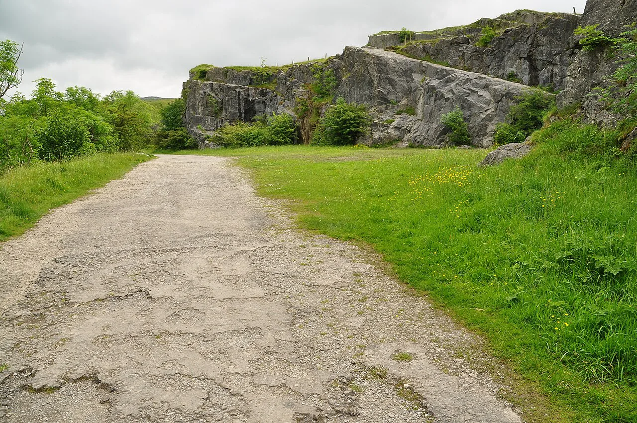
Ingleton village has the usual range of cafes, pubs and shops within a short walk of the trail entrance, which makes it easy to combine the walk with a meal. The trail start sits next to a parking lot, so you can leave the car and pick up supplies before setting off. There are public toilets in the village, though it is worth checking their seasonal hours locally.
The official trail page is the place to confirm current admission arrangements and any seasonal changes before you travel. The packet does not list ticket prices, opening hours or parking charges, so check those directly with the Ingleton Waterfalls Trail office rather than relying on older trip reports.
Combining the Trail with Other Yorkshire Dales Walks
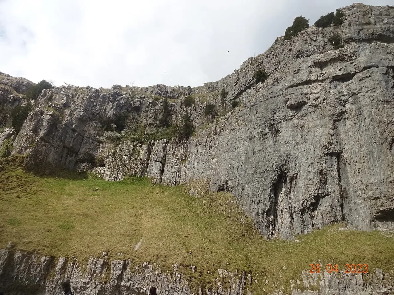
The Ingleton Waterfalls Trail is a compact half-day outing, which leaves time to explore more of the Dales on the same trip. The Malham Cove walk, with its limestone pavement and Janet's Foss, is a classic alternative for a second day. Further east, the Aysgarth Falls walk follows the River Ure through a series of broad cascades that suit a gentler pace.
If you have a head for heights and a full day, the Yorkshire Three Peaks route from Ribblehead Viaduct is a much bigger undertaking and should not be combined with the waterfall trail on the same day. Within the Yorkshire Dales National Park there are options for every energy level, from valley strolls to moorland ridges. Build your itinerary around the weather rather than a fixed list.
Practical Tips on Footwear, Timing and Crowds
Wear walking shoes or boots with a tread that grips wet rock, and carry a light waterproof jacket even on a bright morning. Start early if you want the falls to yourself, as the middle of the day brings the most visitors, especially in summer and on autumn weekends. The clockwise route means you cannot easily cut the walk short once past Thornton Force, so commit to the full loop or turn back before the climb.
Bring water and a snack, as the trail itself has no refreshment stops between the start and finish. Allow extra time if you are photographing the falls, and keep children close at the exposed viewpoints. The official trail page is the best source for any changes to the route or access before you set out.
Plan Your Visit
The Ingleton Waterfalls Trail is one of the most rewarding short walks in the Yorkshire Dales, with five named falls packed into a 7.2 km (4.5 mile) clockwise loop from Ingleton village. Plan on two to four hours, wear grippy footwear, and start early to enjoy Thornton Force and Baxenghyll Gorge before the crowds arrive. Check the official trail page for current arrangements before you travel.
Frequently Asked Questions
How long does it take to walk the Ingleton Waterfalls Trail?
The official trail page suggests two to four hours for the full loop, and Komoot records about two hours of walking time at 6.91 km. Most people settle around three hours once they have stopped at the main falls.
Is the Ingleton Waterfalls Trail difficult?
It is rated moderate. The path includes steps, rough ground and a few exposed viewpoints, so sure-footedness helps, but there is no technical scrambling or navigation required.
Which direction is the trail walked?
The trail is one-way in a clockwise direction. You follow the River Twiss upstream first, passing Pecca Falls, Hollybush Spout and Thornton Force, then return along the River Doe past Beezley Falls and Baxenghyll Gorge.
What waterfalls do you see on the trail?
The named falls are Pecca Falls, Hollybush Spout, Thornton Force, Beezley Falls and the Baxenghyll Gorge waterfall. Thornton Force is the tallest single drop at 46 feet (14 m).
Where does the Ingleton Waterfalls Trail start?
The trail starts and finishes in Ingleton village, with the start point right next to a parking lot. The route forms a complete loop, so you return to the same place.
Sources
Trail notes for your next trip
Optional updates when we add or revise hiking guides.
You might also like
Continue reading
More guides you'll find useful