Gordale Scar Walk: Malham Route, Distance and Scramble
Plan the Gordale Scar walk from Malham with the full circuit distance, the waterfall scramble decision, parking at Gordale Bridge and the easier low-level route.
On this page
The Gordale Scar walk packs three of the Yorkshire Dales' signature sights into a single day out of Malham: the green pool at Janet's Foss, the limestone ravine at Gordale Scar and the pavement above Malham Cove. It suits hikers with a full day and a head for rough ground, and it also comes apart neatly into shorter outings for families or a half day. The one real decision is whether you climb the waterfall at the scar or take the lane around it.
Trailhead and parking
Most walkers start at the pay-and-display car park in Malham village, which has toilets on site. Leave the car park, turn left along the road past the Wesleyan chapel of 1865, and just short of the Buck Inn cross the footbridge over Malham Beck to pick up the wide gravel path heading away from the village. Roadside spaces exist but the village is small and fills quickly on weekends and bank holidays, so an early start is the practical answer.
A second option is the layby at Gordale Bridge on Hawthorns Lane, which puts you within a short walk of the scar but has very limited space. Keep every field gate and access track clear, because farms and emergency vehicles depend on them. If Malham looks full on arrival, Malham Tarn has roadside parking a few kilometres north and makes a sensible second base for the day.
Getting to Malham without a car
Buses do reach Malham, but the services run on seasonal timetables, so the timetable you find for a summer Saturday may not apply in winter. Look up the current services on the Dales Bus website before you fix your day, and build the walk around a bus that gets you in early enough to finish before the last return.
Distance, ascent and time
The classic circuit from Malham runs 12.1 km (7.6 miles) with 360 m (1,181 ft) of climbing, graded as a medium-length walk with rugged terrain and some steep climbs. Allow roughly three hours at a brisk walking pace, or three and a half to four hours with stops and the scramble.
Shorter versions suit different appetites: a mile or so out to Janet's Foss and back, a couple of miles to the scar, or a five-mile loop that takes in the falls without the cove. The full circuit and its climb are what make this a proper half day rather than a stroll, so match the option to your group's pace and the daylight you have.
Route description: Malham to Janet's Foss
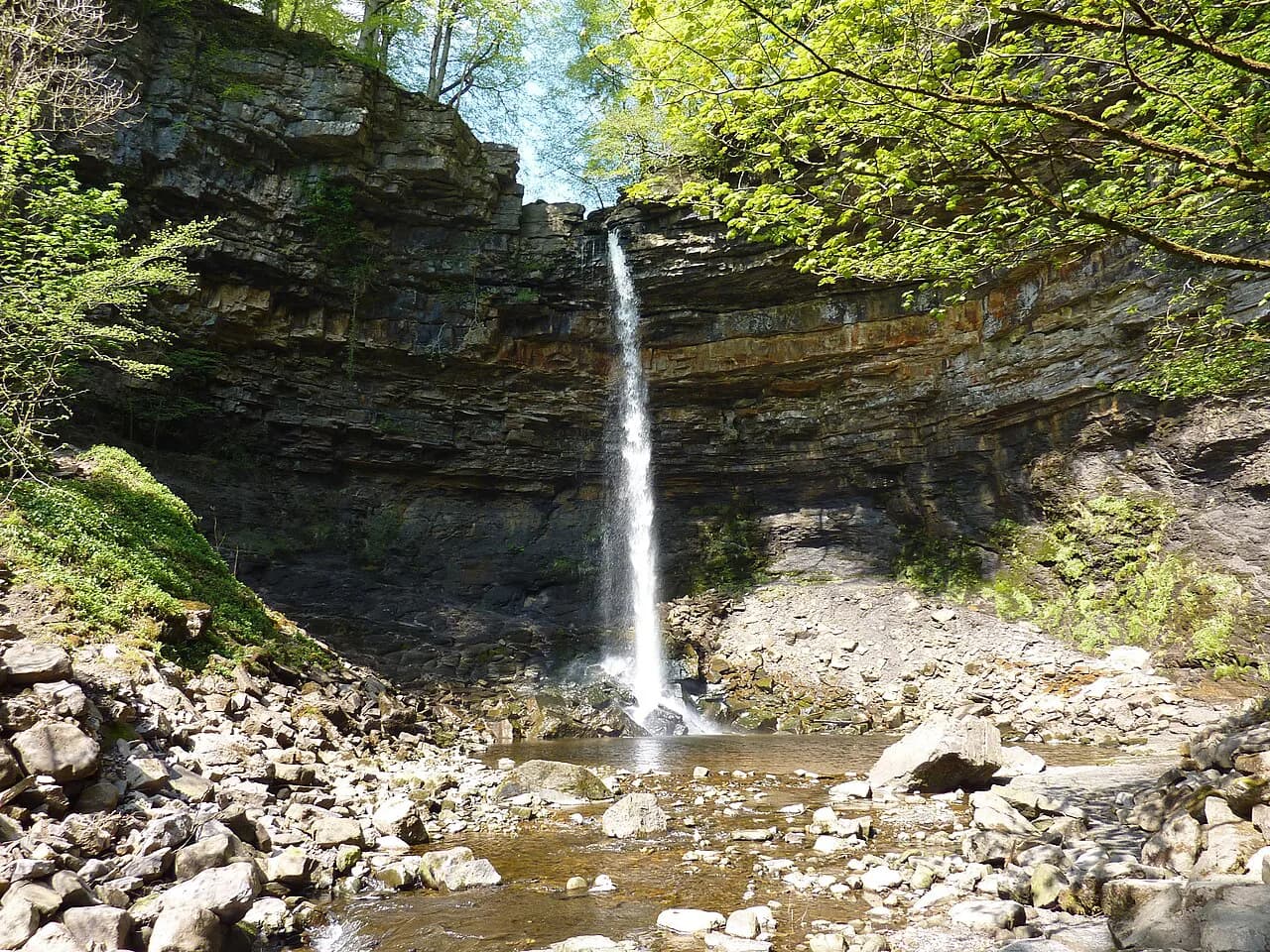
From the footbridge the path runs beside Malham Beck through a series of kissing gates, ignoring a footbridge to the right, and enters a wooded ravine owned by the National Trust. Wild garlic scents the wood in spring and bluebells carpet sections of it. The path climbs gently to Janet's Foss, where the beck drops into a turquoise plunge pool with a cave behind the fall.
The tufa screen at the fall is fragile, so keep off it and admire from the poolside. The pool draws swimmers, and anyone paddling should use clean, dry water shoes to avoid moving species between watercourses; the Yorkshire Dales' white-clawed crayfish are the reason this matters here.
Gordale Scar and the waterfall scramble
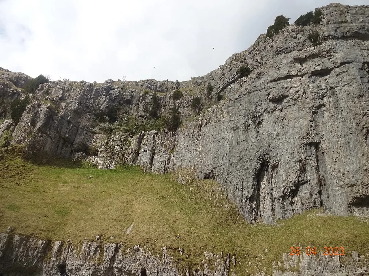
From Janet's Foss a rocky path climbs left out of the wood to a lane, which you follow past the Gordale Bridge snack van to a five-bar gate and the broad track into the field below the scar. Gordale Beck tumbles over a tufa fall at the head of a narrow ravine walled by sheer limestone hundreds of feet high. Heed any warning signs about falling rock at the base of the falls.
The scramble goes up the left side of the waterfall on a sketchy path that is steep and difficult in places, rated Grade 1 and best left to fit, experienced walkers. Above the first pitch the ground eases, passing a further waterfall on the right and some man-made steps before the path swings left away from the ravine. In wet or icy conditions treat it as out of bounds and take the low-level alternative instead.
Above the scar to Street Gate and Malham Tarn
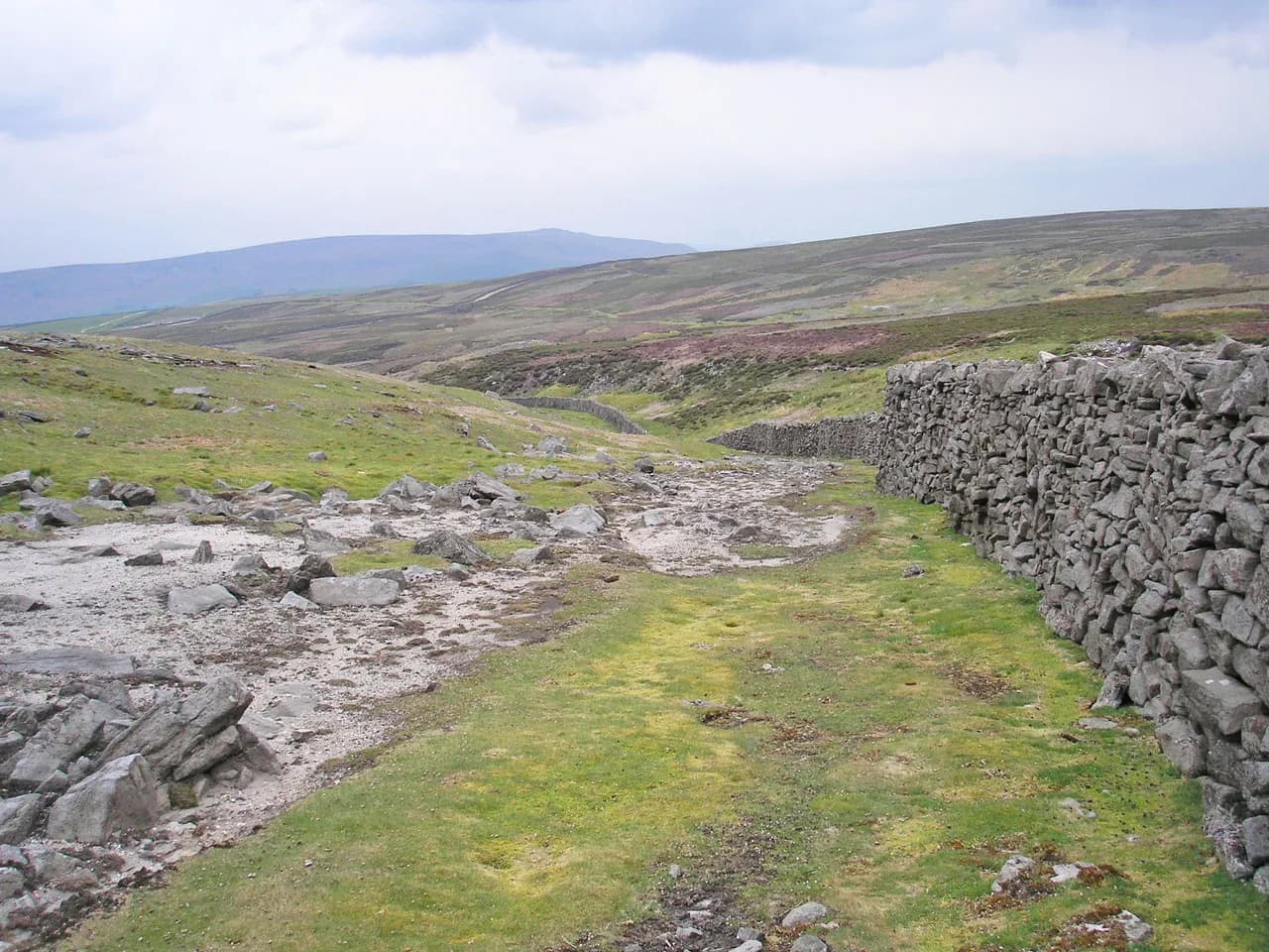
On top, a wide grassy path marked by large cairns crosses limestone outcrops and then runs diagonally to a wall. A stone stile takes you onto a lane for a few yards before a track resumes beside the wall. At Street Gate, an old junction of trans-Pennine routes, keep by the wall as the ground falls toward Great Close Plantation, where Malham Tarn comes into view.
Malham Tarn is one of only two natural lakes in the Dales, sitting in a shallow basin on a geological fault. A path along the plantation side leads to a gate onto the tarn shoreline, and you can follow the shore as far as time allows before turning back to the gate.
The Watlowes dry valley and Malham Cove pavement
From the tarn gate, follow the Pennine Way sign for Watersinks, drop to the road, cross Malham Beck and take the path signed for Malham Cove. The route descends into the Watlowes, a dry valley with Ing Scar on your right, then crosses stone stiles onto the limestone pavement above the cove. The clints and grikes are uneven and slippery when wet, and the cove edge is unguarded, so watch your footing and keep children back from the lip.
The descent past Malham Cove to the village
Cross the pavement to a wall with a kissing gate, then take the steep man-made steps down. A fork offers a closer look at the cove, which stands around 230 ft (70 m) high, before the wide gravel path leads through gates past the cliffs where peregrines are often watched. Turn left on the road for the last 500 m back into Malham and the car park.
The low-level alternative for walkers skipping the scramble
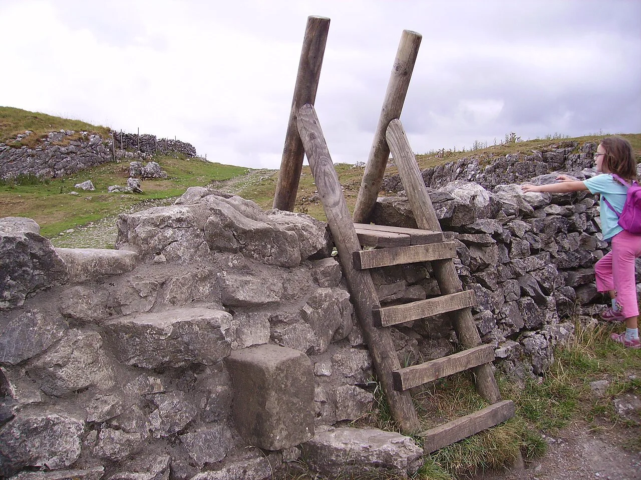
If you would rather not climb the waterfall, return from the scar to Gordale Bridge and take the gate signed for Malham Cove. A wide path crosses the field, climbs with a wall on the right past a ladder stile and man-made steps, then bends out through a kissing gate onto a lane. Follow the lane uphill for about a mile and a quarter past old settlements and field systems until you rejoin the main route near Street Gate, skipping the ravine entirely.
Children, pushchairs and wheels
The easiest family option is the linear track from Gordale Bridge along Hawthorns Lane, which runs on a broad surface all the way to the scar and back. From the bridge, Gordale Scar is reachable by powered wheelchair or pushchair as long as you park there rather than in the village; the woodland path to Janet's Foss is not suitable for wheels.
For families on foot, the full circuit works if children are steady on rough ground, and the promise of ice cream in Malham or at the bridge van helps. Keep dogs on leads where livestock graze, and supervise children closely around the pools at Janet's Foss.
When to go
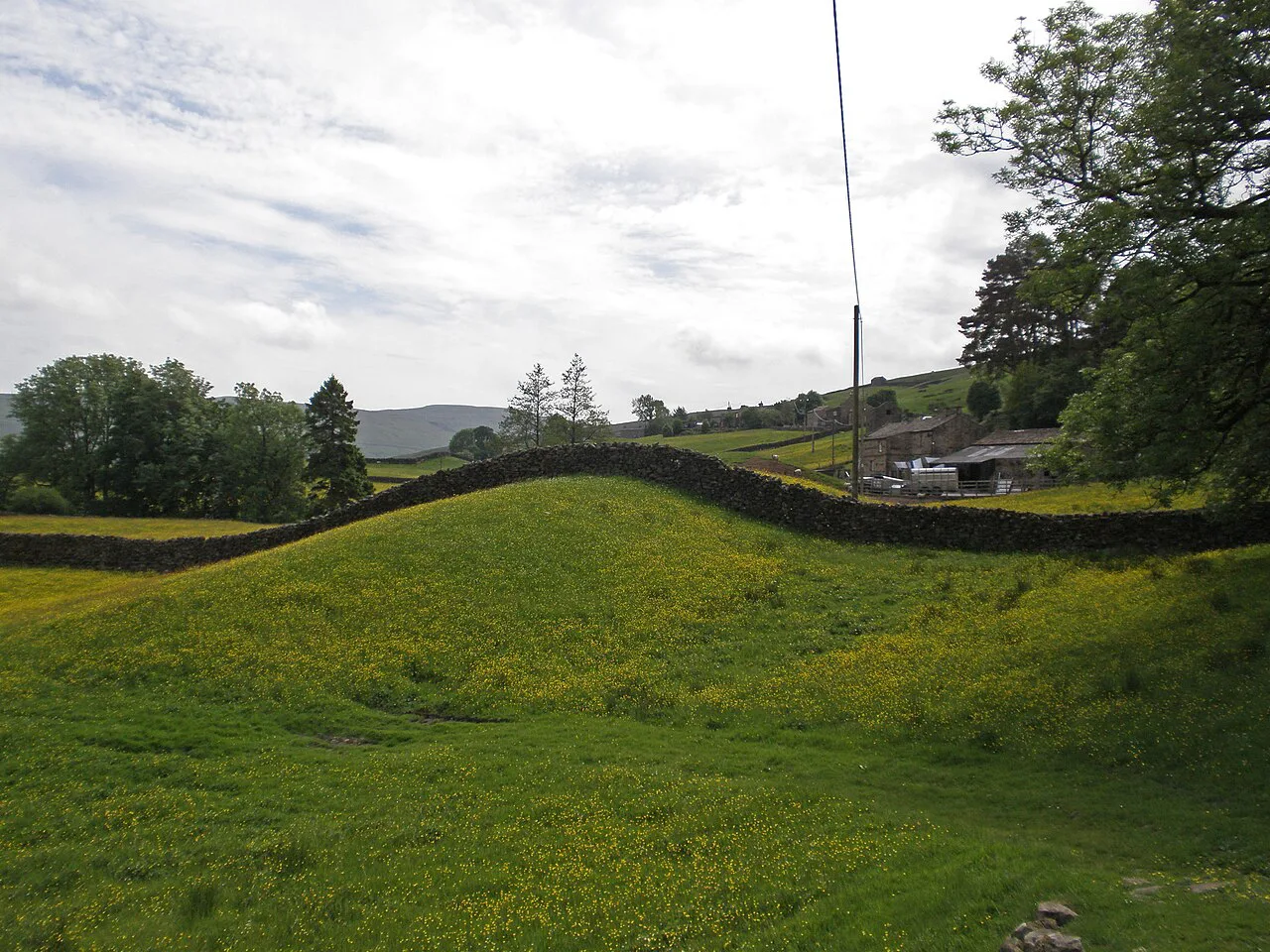
Spring brings wild garlic and bluebells to the ravine, and after wet weather Gordale Beck carries real volume over the fall. Summer weekends are the busiest, with the village and the falls crowded by mid-morning, so start early or come late in the day for quieter going.
Autumn and winter give the best chance of having Janet's Foss to yourself, but wet rock and ice make the waterfall scramble a poor choice in those months. Check conditions for the higher ground before committing to the full circuit, and carry a map rather than relying on a phone. If you are weighing up a similar winter decision elsewhere, the Peak District hiking guide sets out comparable upland routes and their seasonal pitfalls.
Hazards and exposure
The waterfall scramble is the sharpest hazard, with steep, slippery rock and a history of falling stones in the ravine. The limestone pavement above the cove demands care over broken clints and grikes, and the cove edge has no barrier. In winter, snow and ice can linger on the tops and make the descent from the tarn genuinely awkward.
Facilities and refreshments
Malham has toilets at the car park plus cafes, two pubs and a restaurant, so you can eat before or after the walk. The Gordale Bridge refreshment van trades between Easter and September and at weekends only outside that window, which makes it a fair-weather bonus rather than a guaranteed stop. Take your rubbish home.
Extending the day
The full Malham collection of routes makes sense if you want a second day in the area, pairing this walk with the pavement and cove from different angles. For water in a different setting, the Ingleton Waterfalls Trail follows the River Twiss and River Doe through a wooded gorge west of Malham. If you are assembling several days of walks in Yorkshire Dales, the Gordale circuit sits easily beside the valley routes and the Three Peaks country.
Plan Your Visit
Decide on the scramble before you set out: the full circuit with the ravine above you, the low-level lane alternative, or the short linear run in from Gordale Bridge. Park early in Malham or at the bridge layby, carry the Ordnance Survey OL2 map and check buses on the Dales Bus site if you are arriving without a car.
Frequently Asked Questions
How long is the Gordale Scar walk?
The full circuit from Malham via Janet's Foss, Gordale Scar and Malham Cove is 12.1 km (7.6 miles) with about 360 m (1,181 ft) of ascent, allowing roughly three to four hours. Short versions run from one to five miles if you only want the waterfall and the scar.
Is Gordale Scar a scramble?
Yes. Climbing out of the ravine beside the waterfall is a steep Grade 1 scramble that is difficult in places and best for fit, experienced walkers. A low-level lane route reaches the same ground above the scar without any scrambling.
Can you walk to Gordale Scar without climbing the waterfall?
Yes. From Gordale Bridge a wide track runs to the foot of the scar, and a separate lane path climbs to Street Gate to rejoin the main circuit. That keeps the scenery without the exposed rock.
Is the Gordale Scar walk pushchair friendly?
The linear track from Gordale Bridge along Hawthorns Lane is manageable with a pushchair or powered wheelchair, with parking at the bridge rather than in the village. The wooded path to Janet's Foss is not suitable for wheels.
Where do you park for Gordale Scar?
Use the pay-and-display car park in Malham for the full circuit, or the very limited layby at Gordale Bridge for the short walk to the scar. Do not park in the village or block field access.
Can you get to Malham by bus?
Buses serve Malham on seasonal timetables, so confirm the current services on the Dales Bus website before you travel. Build the day around an early arrival and a return bus you can comfortably catch.
When is the best time to walk to Gordale Scar?
Spring and early summer give wild garlic and bluebells in the ravine, and autumn brings quieter paths. Start early in summer to beat the crowds, and avoid the waterfall scramble when the rock is wet or icy.
How hard is the full Malham Cove and Gordale Scar circuit?
It is a medium-length walk with rugged terrain and some steep climbs, including the optional waterfall scramble. The rough limestone pavement and the cove edge need care, but fit walkers with steady footing manage it in a half day.
Sources
Trail notes for your next trip
Optional updates when we add or revise hiking guides.
You might also like
Continue reading
More guides you'll find useful