Glyndŵr's Way Guide: Plan Wales' 135-Mile Trail Walk
Glyndŵr's Way runs 135 miles (217 km) from Knighton to Welshpool through Mid Wales. Plan the stages, the climbs, resupply and the best months to walk.
On this page
Glyndŵr's Way suits hikers who want a long-distance trail without the crowds: 135 miles (217 km) of sheep-grazed hills, moorland, forest and quiet lanes between Knighton and Welshpool. The National Trails description rates it walkable by anyone reasonably fit, with the caveat that it is very hilly, repeatedly dropping into valleys and climbing out again in a single day. If you have enjoyed the bigger Welsh trails and want something emptier, this is a strong place to look among the options for hiking in wales.
The trail is named for Owain Glyndŵr, the medieval Welsh prince who led a rebellion against Henry IV from 1400. That history sits lightly on the walking, but it gives the route its shape: you pass through country tied to his campaigns and finish at Machynlleth, where he held a parliament in 1404. Plan the walk as a series of day stages or as one continuous journey of roughly a week to ten days, depending on how far you want to push each day.
Route overview: Knighton to Welshpool
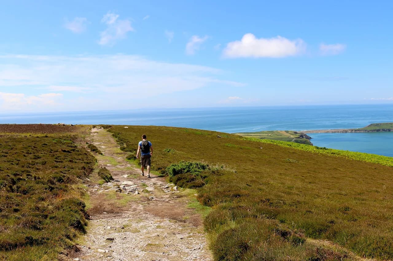
Glyndŵr's Way runs from Knighton in Powys to Welshpool in Powys, a 135-mile (217 km) National Trail through mid-Wales. The route threads open moorland, rolling farmland, woodland and forest, staying well away from the honeypot valleys of the surrounding national parks. It is a linear trail, so transport at both ends matters as much as the walking itself.
The National Trails route description is blunt about the character of the walking: it constantly drops into valleys and climbs back out, several times a day. That pattern matters more than the headline distance. A day of 12 miles (19 km) here can feel harder than a longer day on a ridge trail because the climbing is broken into short, repeated pulls rather than one long ascent. Budget your energy for the climbs, not just the miles.
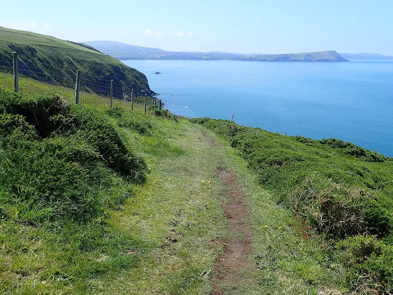
Most of the walking is on grassy tracks, field paths, quiet lanes and occasionally boggy moorland. In poor visibility, the trail crosses country that is sometimes rough and remote, so the ability to navigate with a compass is genuinely useful rather than a box-ticking exercise. Carry a paper map and know how to use it before you rely on a phone in mist.
Getting to Knighton and back from Welshpool
Both ends sit on major rail lines, which makes a one-way walk straightforward to plan. Knighton and Welshpool are the two railheads Visit Wales points to, while other sections of the trail are reachable by bus. That means you can build a through-walk with a train in at the start and a train out at the finish, without a car shuttle.
For the middle of the route, Machynlleth works as a second railhead: start or finish there to halve a week's walking. If your itinerary uses buses to reach or leave a stage, plan each day around the published service rather than assuming a mid-afternoon connection will appear. Traveline Cymru is the journey planner to use for bus and rail combinations across Wales; check times against your walking day before you book accommodation.
Parking at either end is best treated as a separate question from rail access: long-stay spaces near Knighton and Welshpool are limited, and a week or more in a car park needs arranging in advance with the car park's own operator. If you drive to the start, ask your accommodation provider about leaving the car and plan a return leg by train rather than looping back by taxi.
Splitting the trail into three stage blocks
The cleanest way to plan Glyndŵr's Way is in three blocks: Knighton to Llanidloes, Llanidloes to Machynlleth, and Machynlleth to Welshpool. Each block has a town with shops and beds at its end, which lets you resupply and rest without carrying a week of food. The middle block is the wildest and the one where services thin out most, so it deserves the most careful planning.
Day lengths are your choice, but the terrain sets the limits. Repeated valley climbs, long stretches between villages and occasional boggy ground mean most hikers will want shorter days than they would on a gentler trail. If you are unsure of your pace, build in a shorter day after each of the two big climbs: the first into the Radnorshire Hills out of Knighton, and the second above Llyn Clywedog.
If you would rather have the logistics handled, self-guided operators publish staged itineraries with accommodation, breakfast, luggage transfer and route notes. One operator, Celtic Trails, lists options from 5 to 16 nights on the trail, ranging from Machynlleth to Welshpool through to the full Knighton to Welshpool route; treat those as a sample of what packages look like, not as the trail's own costs, and compare inclusions carefully.
Knighton to Llanidloes: the Radnorshire Hills and Abbeycwmhir
Leaving Knighton, the trail climbs into the Radnorshire Hills on a mix of field paths and tracks. This first block is farmland and moor, with the ruins of the Cistercian abbey at Abbeycwmhir as its historical anchor. The village makes a natural break, and the surrounding oak woods and rocky outcrops are where you are most likely to see red kites overhead.
Knighton itself is a good base for day walks before committing to the full trail. Visit Wales points to a selection of circular routes from the town that give a taste of the empty paths and sweeping views on day-long hikes over farmland and moor. The area is managed by the Radnorshire Wildlife Trust, so expect plenty of wildlife on the way.
Llanidloes, a market town on the River Severn with independent shops and cafés, ends this block. Stock up here: the next stretch crosses higher, more remote country with fewer places to buy food. The town also sits close to the descent to Llyn Clywedog, which sets up the most dramatic day of the middle section.
Llanidloes to Machynlleth: Llyn Clywedog and Foel Fadian
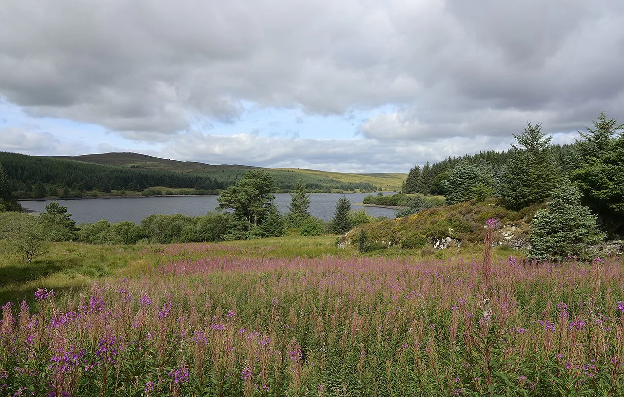
This is the section to plan around. From Llanidloes the trail makes a spectacular descent to Llyn Clywedog reservoir, pooled behind what Visit Wales describes as Britain's tallest concrete dam, then climbs into the hills of the Cambrian Mountains. The route skirts Glaslyn Nature Reserve's lake before reaching Foel Fadian, the trail's high point, with a long view down the Dulas Valley.
Visit Wales describes the Llanidloes to Machynlleth stretch as 27 miles (43 km), a superb wild weekend for hikers. Walked as two days, that gives you one day over the Clywedog ground and one over the high ground to Machynlleth; walked as one, it is a long, hard outing. The Star Inn sits along the way, so plan your arrival around its opening times if you want a pub stop.
Foel Fadian is exposed, and the ground around it can be soft after rain. In mist, keep a compass bearing to the descent rather than following the nearest trodden line. The trail passes country associated with the Battle of Hyddgen near Pumlumon, one of the historical markers of the middle section.
Machynlleth to Welshpool: the Dyfi Valley and Lake Vyrnwy
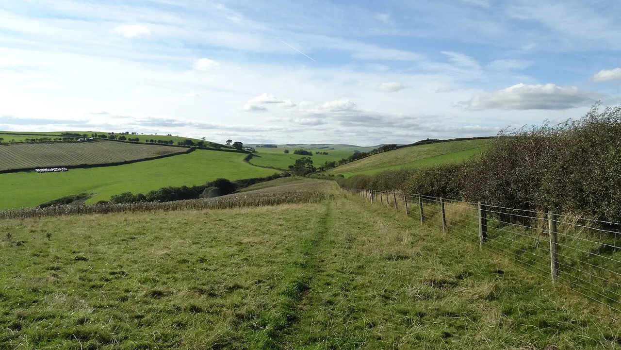
Machynlleth is the town where Owain Glyndŵr held his parliament in 1404, and it marks the halfway point for anyone walking the full trail. From here the route turns north through the hills above Lake Vyrnwy, a Victorian reservoir with a stone dam and surrounding forest. The highest ground gives views over the water before the final approach to Welshpool.
The Machynlleth to Llanbrynmair stretch is a long day at 18.2 miles (29 km), but it earns its place: views open across the Dyfi Valley to Cader Idris, and the Berwyn Mountains rise out of farmland ahead. If you want a single-day sampler of the northern half, this is the one to choose, with beds in Machynlleth before and Llanbrynmair after.
The final approach to Welshpool crosses Y Golfa, the hill above the town, before dropping to the finish. From Welshpool, Powis Castle sits nearby if you have a rest day to spare. If Cader Idris has caught your eye from the Dyfi Valley, the Cadair Idris Walk via the Minffordd Path makes a worthy extension to a Mid Wales trip.
Day sections and shorter alternatives
You do not have to walk the full trail to enjoy it. The National Trails guidance is explicit that it can be enjoyed as a series of day walks, and the Knighton circuits are the easiest place to start. The Llanidloes to Machynlleth stretch works as a two-day weekend, and Machynlleth to Llanbrynmair as a single long day.
A nine-day schedule is one way to cover the whole route, according to Visit Wales, but the right pace depends on your climbing. The repeated valley pattern means daily ascent adds up fast; if you normally walk 15 miles (24 km) on rolling ground, plan closer to 10 to 12 miles (16 to 19 km) here. Shorter days also leave room for the historic detours at Abbeycwmhir and Machynlleth.
If you want a circular long-distance walk, pair Glyndŵr's Way with Offa's Dyke Path: walk Knighton to Welshpool, then follow Offa's Dyke south back to Knighton. Celtic Trails lists this as a 162.3-mile (261 km) option over 14 nights. It turns the journey into a loop, combining the quiet hills of mid-Wales with a very different border section on the return.
Distance, ascent and walking time
The headline figures are 135 miles (217 km) end to end, from Knighton to Welshpool. No official total ascent is published for the trail, so plan by the shape of the days rather than a single elevation number: the National Trails description of repeated valley drops and climbs is the most useful guide to how hard each day will feel. Your own GPS track or a guidebook profile will give you the daily numbers.
Walking time follows from that. On rough moorland and field paths with gates and stiles, expect to move more slowly than on open hill tracks. Build in time for the Clywedog descent, the climb to Foel Fadian and the run into Welshpool, and resist planning a long day before a train home.
Overnight stops and resupply
Glyndŵr's Way has no huts; you stay in B&Bs, guesthouses, farmhouses and local inns in the towns and villages along the way. Celtic Trails describes its own packages as using exactly that mix, with breakfast and luggage transfer included. Independent walkers can book the same kind of accommodation directly, but the choices thin out between Llanidloes, Machynlleth and the Lake Vyrnwy section.
Shops, pubs and cafés are sparse along much of the route, so carry supplies for the day rather than expecting to buy lunch at the next village. Machynlleth and Llanidloes are the main resupply points, with Welshpool at the finish. Fill water bottles at refill points where you find them and treat taps in remote areas as your main source.
Wild camping without the landowner's permission is not allowed anywhere in Wales, so plan nights in beds or on official campsites rather than pitching wherever the day ends. That rule is the single biggest reason to book accommodation ahead on the middle section. If you are walking in winter, note that some accommodation closes, which shrinks your options considerably.
When to go
The trail can be walked at any time of year. Summer brings long, sometimes hot days, while spring has the wild flowers and autumn the best colors. Winter snow on mid-Wales makes a spectacular sight, but the Welsh climate can deliver rain at any time, and some accommodation closes in winter, so a cold-season plan needs to be built around the beds that are actually open.
Celtic Trails runs its Glyndŵr's Way holidays from March to October, which is a fair reflection of when most walkers go. Late spring and early autumn often give the best balance: enough daylight for long days without the summer heat. Whatever the season, pack waterproofs and expect boggy ground on the moorland tops after rain.
Navigation, weather and safety
The main hazards are simple and real: rough, remote ground, boggy moorland, and rain that can arrive at any time of year. In mist, compass work is the difference between a good day and a long one, especially around Foel Fadian and the higher ground near Lake Vyrnwy. Carry a map, a compass and a waterproof shell, and know the bearing off the summit before you need it.
River crossings and the descent to Llyn Clywedog warrant care after heavy rain, and the field paths can be slippery. The sensible response is to shorten the day rather than push through poor visibility on the high ground. If you are walking alone, tell someone your route and expected finish time each morning.
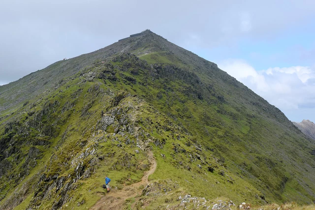
Wales has plenty of other long-distance walking if this trail does not fit your dates. The Wales Coast Path offers a very different coastal experience, and the Pembrokeshire Coast Path National Trail is the classic sea-cliff option. If you would rather trade the hills for England's uplands, our Peak District hiking guide covers shorter but equally crowd-free routes. For a mountain day, the Snowdon walk is the country's best-known ascent, but neither belongs on a Glyndŵr's Way itinerary.
Planning Your Glyndŵr's Way Walk
Start with the three stage blocks and pick your entry points: Knighton at one end, Welshpool at the other, Machynlleth in the middle. Rail access at both ends and at Machynlleth makes a one-way walk practical, and bus links cover the sections in between. Book beds on the middle section first, because that is where the accommodation thins out.
Treat the repeated valley climbs as the real difficulty of the trail rather than the total distance. If you want views and a taste of the route without committing to a week, the Llanidloes to Machynlleth weekend or the Machynlleth to Llanbrynmair day deliver the high points and the reservoir scenery. The National Trails interactive map shows the line alongside accommodation, food and transport.
Frequently Asked Questions
Where does Glyndŵr's Way start and finish?
Glyndŵr's Way runs from Knighton in Powys to Welshpool in Powys, a 135-mile (217 km) National Trail across mid-Wales. Both towns are on rail lines, which makes a one-way walk practical; Machynlleth sits roughly halfway and can serve as an alternative start or finish.
How long does it take to walk Glyndŵr's Way?
Plan roughly nine to ten days for the full trail at a steady pace, or more if you prefer shorter days to handle the repeated valley climbs. Shorter options cover Knighton to Machynlleth (about 75 miles) or Machynlleth to Welshpool. The right number of days depends on your daily distance and climbing comfort.
What is Glyndŵr's Way named after?
The trail takes its name from Owain Glyndŵr, the medieval Welsh prince who led a rebellion against Henry IV from 1400. Machynlleth, where he held a parliament in 1404, is on the route, and the trail passes country associated with his campaigns.
Can you cycle Glyndŵr's Way?
Glyndŵr's Way is a walking National Trail, and there is no published cycling access along its length. Treat it as a footpath: grassy tracks, field paths and stiles make it unsuitable for bikes, and the Pennine Bridleway is the National Trails route designed for riders.
Which section of Glyndŵr's Way is the highest point?
Foel Fadian is the trail's high point, reached between Llanidloes and Machynlleth. The climb comes after the descent to Llyn Clywedog and the stretch around Glaslyn Nature Reserve, with views down the Dulas Valley once you reach the top.
When is the best time of year to walk Glyndŵr's Way?
Late spring and early autumn often suit best, balancing daylight with milder temperatures. Summer brings long, sometimes hot days and plenty of daylight; spring has the wild flowers and autumn the best colors. In winter, some accommodation closes and rain can arrive at any time.
How hard is Glyndŵr's Way?
It is a hilly trail: the National Trails description says anyone reasonably fit can walk it, but the route repeatedly drops into valleys and climbs back out several times a day. Rough and remote ground, boggy moorland and occasional navigation in mist add to the challenge. Build in shorter days rather than pushing long mileages.
Sources
Trail notes for your next trip
Optional updates when we add or revise hiking guides.
You might also like
Continue reading
More guides you'll find useful