Wales Coast Path: Sections, Distances and How to Plan a Hike
The Wales Coast Path runs 870 miles (1,400 km) around Wales in eight regions. Compare sections, terrain, walking times and transport to plan your hike.
On this page
The Wales Coast Path is the only official waymarked trail that follows an entire country's coastline, running 870 miles (1,400 km) from the Dee Estuary near Chester to Chepstow on the English border. It opened in 2012 and strings together castle towns, long beaches, cliff-top headlands, estuaries and two National Landscapes, with the Pembrokeshire coast at its wildest. You can walk it end to end in a season, take one region a year, or simply pick a stretch that fits a spare Saturday.
This guide treats the path as eight working regions, because that is how Visit Wales divides and describes the route. Each section below gives the region's length, the terrain you actually walk on, the towns that make good bases and the specific places where the going gets rough. If you want the wider picture of mountain and coastal trails across the country first, start with hiking.
What the Wales Coast Path is and who each kind of walk suits
The path is a continuous, waymarked coastal route rather than a single mountain trail, and it is divided into eight regions by Visit Wales, with the longest running to 182 miles in Pembrokeshire. Because it hugs the shore, it passes through towns and villages far more often than an inland route, so you can walk it as a series of day hikes with a bed and a meal at each end. That makes it unusually flexible for hikers who cannot commit to a full expedition.
Day walkers fit best on the promenade and estuary stretches, where a flat few miles links a rail station to a castle or a beach. End-to-end walkers need to accept that the route mixes tarmac seafront, dunes, field paths and genuinely rough cliff-top ground in the same week, and should plan shorter days through the hillier regions. Families and wheelchair or pushchair users should head straight for the wide, flat, smooth sections rather than the cliff paths. If you are weighing coast against mountain, the wider hiking picture in Wales helps you choose.
Where the path starts and ends, and how the eight regions split
The northern end sits on the Welsh border with England on the outskirts of Chester, at the head of the Dee Estuary; the southern end is at Chepstow, where the path meets Offa's Dyke, the long-distance trail along the Anglo-Welsh border. You can walk in either direction, and many hikers start at whichever end their train reaches most easily.
The official regions and their lengths are: North Wales Coast and Dee Estuary, 81 miles (132 km); Isle of Anglesey, 135 miles (217 km); Llŷn and Snowdonia Coast, 167 miles (264 km); Ceredigion, 75 miles (119 km); Pembrokeshire Coast Path, 182 miles (291 km); Carmarthenshire, 68 miles (108 km); Gower and Swansea Bay, 69 miles (111 km); and South Wales Coast and Severn Estuary, 97 miles (157 km). Anglesey, Llŷn and Pembrokeshire are the three longest, and each is a satisfying standalone trip.
North Wales Coast and Dee Estuary: promenades, castles and the Great Orme
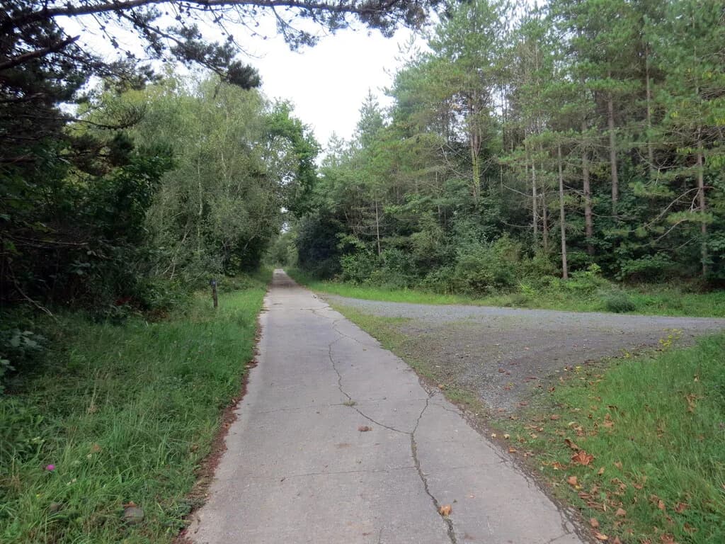
This 81-mile (132 km) opening region runs from the Chester area along the Dee Estuary past Flint Castle and Talacre's lighthouse to the seaside resorts of the north coast. It is the flattest region on the path, largely promenades, concrete surfaces and cycle routes, which makes it the easiest place to bank long daily distances early in an end-to-end walk. The trade-off is a lot of town walking and little solitude.
Llandudno is the region's set piece: the Great Orme headland rises straight from the town, with steep summit trails giving coastal views and a tram or cable car available for tired legs. Conwy, with its castle walls forming part of a UNESCO World Heritage Site, sits a short stage west along the Menai Strait approach. Base yourself in Llandudno for the headland and Conwy for the castle stretch.
Isle of Anglesey: a full circuit of the island and its National Landscape coast
Anglesey's 135 miles (217 km) make a complete loop of the island, most of it within a National Landscape, with sea, mountain and forest views in the same day. The signature walk is the beach approach to Llanddwyn Island, a spiritual site associated with St Dwynwen, Wales' patron saint of lovers. Because the route circles rather than crosses the island, you can join it at several towns and never be far from a bus back to your base.
At the island's western edge, South Stack Lighthouse stands out to sea beyond Holyhead and is reached by roughly 400 steps, a short but steep detour that is worth the climb in clear weather. Back toward the Menai Strait, Beaumaris Castle is considered the most technically perfect castle in Britain. Holyhead is the practical base for the west coast; Menai Bridge and Beaumaris suit the quieter eastern shore.
Llŷn and the Snowdonia coast: remote headlands, estuaries and Portmeirion
At 167 miles (264 km), the Llŷn and Snowdonia Coast region runs from the Menai Strait around the Llŷn Peninsula and then south past Portmeirion along the coastal fringe of Snowdonia National Park. The Llŷn coast has a wild, romantic feel and is one of Wales' least explored areas; the climb from Aberdaron onto the headland puts you at what feels like the edge of Britain. The Snowdonia stretch trades cliffs for vast half-wild estuaries, with Cader Idris and the national park's mountains looming inland.
A particularly fine stage runs between Fairbourne and Barmouth, looking across the Mawddach Estuary to the mountains, and the restored Mawddach Trail alongside it is flat and shared with cyclists. Porthmadog, Harlech and Barmouth all make sensible bases with rail links; Harlech's castle sits directly on the route. If the mountains pull you inland, the Cadair Idris walk is the classic outing above this coast, though it leaves the path itself.
This is also where hillier, uneven ground starts to appear, so treat daily distances here more conservatively than on the north coast promenades. Early and late in the season, the estuary sections can be muddy and the headland paths exposed to wind off the Irish Sea. Carry a windproof layer even on a forecast of sunshine.
Ceredigion: Cardigan Bay beaches, Mwnt and Aberystwyth
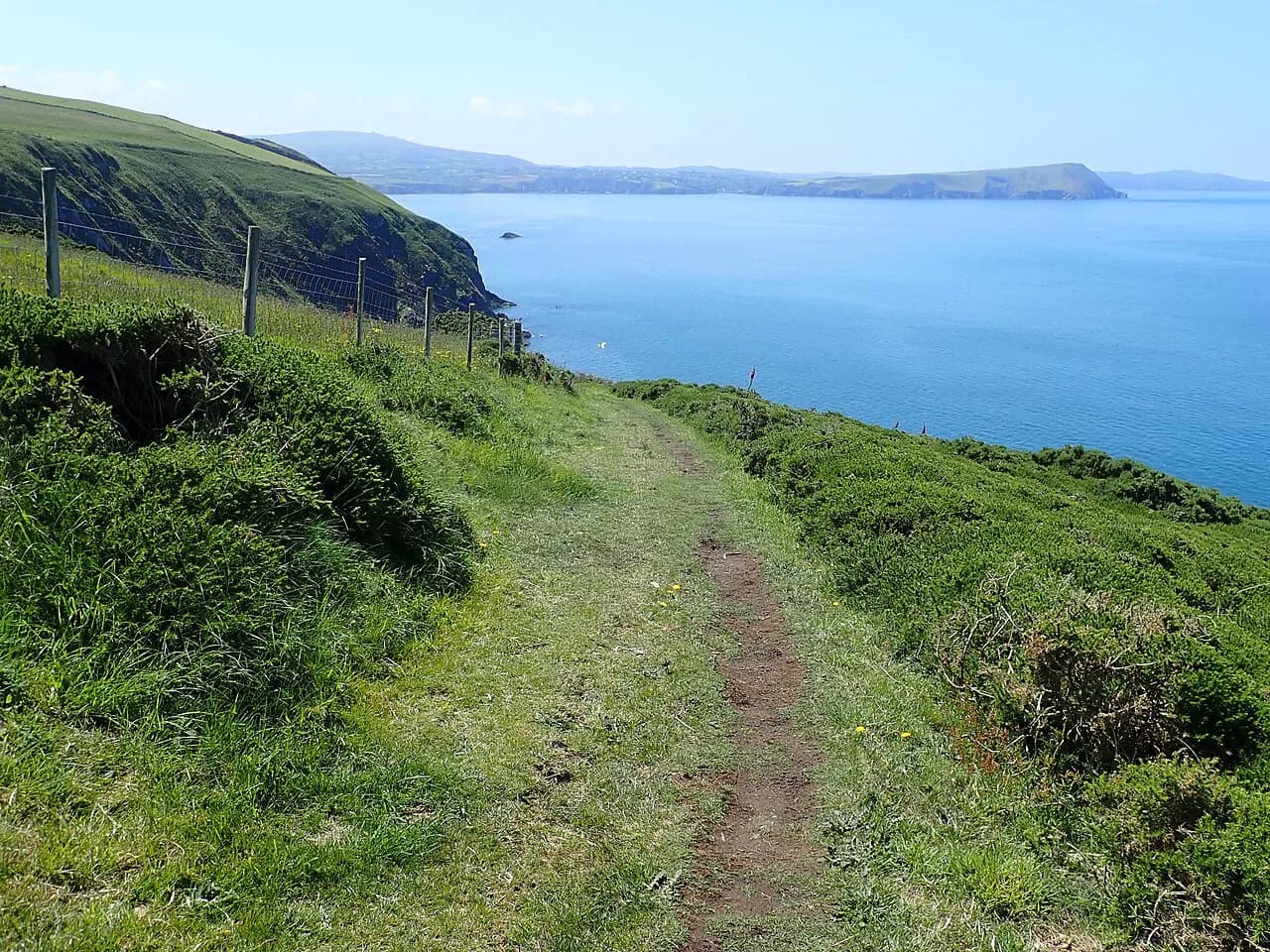
Ceredigion's 75 miles (119 km) follow the long sweep of Cardigan Bay from Borth down to Cardigan, a region of west-facing beaches, clifftop fields and small towns. Mwnt's secluded beach is the spot for watching dolphins and seals from shore, and the church above it gives a landmark for navigation. The regional path here is shorter than its neighbours but includes some uneven, hilly ground, so it is not the easy option it looks like on a map.
Aberystwyth anchors the northern half, with the Aberystwyth Cliff Railway funicular climbing Constitution Hill for coastal views and a direct rail line for arrivals. Aberaeron, with its pastel seafront houses, makes a charming mid-region base, and Cardigan at the southern end has the Theatr Mwldan for an evening off your feet. Plan a half day here if you want to stop for wildlife rather than push mileage.
Pembrokeshire Coast Path: cliffs, sea arches and St Davids
The Pembrokeshire Coast Path is the 182-mile (291 km) heart of the route, running through Britain's only coastal national park and taking in rugged cliffs, sea arches, blow-holes, stacks and offshore islands. It is also a National Trail in its own right, so it is better waymarked and more heavily served by accommodation than most other regions. If you have one week for the Wales Coast Path, spend it here.
St Davids, the UK's smallest city, sits near the middle with its cathedral and bishop's palace, and the cliffs around St Non's and Caerfai are a fine short day out. The Green Bridge of Wales, a natural limestone arch 80 feet (24 metres) high, is one of the coast's signature landmarks. Expect repeated steep climbs and descents between beaches, and plan daily distances of a few miles less than you would on flatter coast. The full guide to the Pembrokeshire Coast Path breaks the trail into stages if you want to walk all of it.
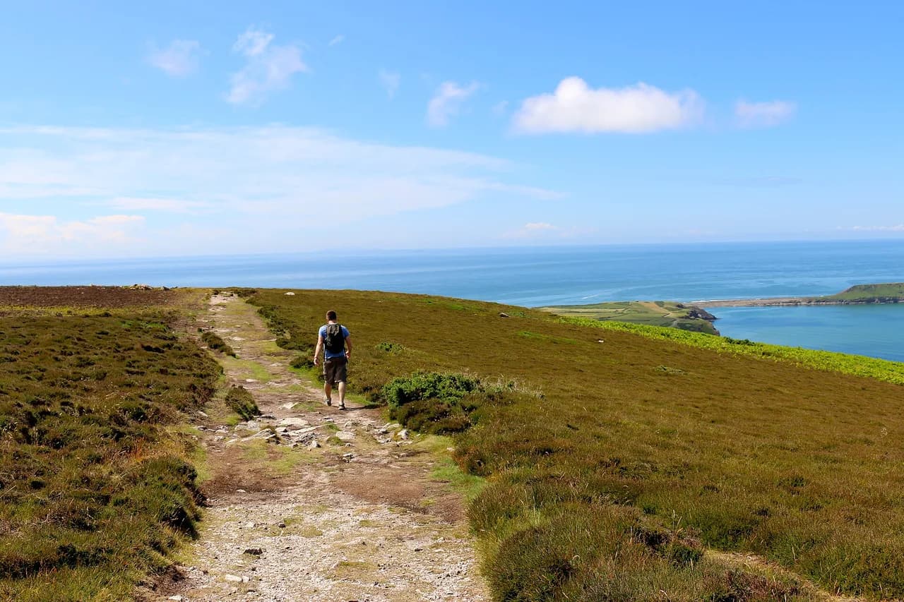
The Pembrokeshire Coast National Park rewards slow walking: the path dips into every cove and climbs out again, so the same mileage takes longer than on Anglesey or the north coast. Marloes Sands and Freshwater West are the big beach stages, and both have film-set scenery and soft sand underfoot. Book accommodation in St Davids or Tenby as early as your dates allow, because summer beds fill fast along this stretch.
Carmarthenshire, Gower and Swansea Bay: long sands and limestone cliffs
Carmarthenshire's 68 miles (108 km) run from Amroth along Carmarthen Bay to Llanelli and the Gower, and they include some of the easiest walking on the whole path. Cefn Sidan and Pendine Sands are two of Wales' longest beaches, and the Millennium Coastal Path between Llanelli and Pembrey Forest is wide, flat and smooth enough for wheels. Families and anyone nursing a sore knee should pick this region.
The Gower and Swansea Bay region adds another 69 miles (111 km), through the UK's first designated Area of Outstanding Natural Beauty. Rhossili Bay is the big-name beach, while Three Cliffs Bay's sand dunes, limestone cliffs and salt marsh give the best campsite views in Britain. From Rhossili, the tidal causeway to Worm's Head demands a check of tide times before you set out, because the island is cut off by the rising sea.
Swansea marks the transition from rural coast to city, and the path runs through the marina to Mumbles, a fishing village with ice-cream parlours and bay views. Oxwich and Caswell Bay are the gentler Gower stages; Rhossili to Oxwich is the committed cliff walk. The whole Gower is reachable by bus from Swansea, which makes it one of the easiest regions to walk car-free.
South Wales coast and Severn Estuary: Glamorgan Heritage Coast to Chepstow
The final 97 miles (157 km) begin with the Glamorgan Heritage Coast between Aberthaw and Porthcawl, a run of limestone cliffs and beaches, before the path turns urban through Cardiff Bay and then follows the broad, tidal Severn Estuary to Chepstow. Cardiff Bay is a genuine change of register, with the Senedd, the Wales Millennium Centre and waterfront restaurants right on the route. Walkers expecting wilderness to the very end will be surprised by how much of this region is city and estuary.
Nash Point lighthouse is the landmark on the heritage coast, and the stretch around it is the most cliff-like walking of the region. The estuary section to Chepstow is flat but exposed, and the tidal range here is among the largest in the world, so the water's edge moves a long way between tides. Finishing in Chepstow puts you at the castle and the start of Offa's Dyke, an inland route that leaves the coast entirely.
Distances per region and what a day's walking looks like
Region lengths range from 68 miles (108 km) in Carmarthenshire to 182 miles (291 km) in Pembrokeshire, so a week in Carmarthenshire and a week in Pembrokeshire are very different propositions. A steady coastal day of 10 miles (16 km) is realistic on promenades and long beaches; on the Pembrokeshire and Llŷn cliffs, plan on 7 to 9 miles (11 to 14 km) because of the repeated climbs. Use the region totals to size your trip before booking beds. If you are sizing up an English coast instead, the stage breakdown of the Northumberland Coast Path works the same way.
For day hikes, pick a stage between two towns with public transport at both ends so you never have to retrace your steps. A castle-to-castle day on the north coast, a beach-and-headland circuit on Anglesey, or a St Davids cliff loop in Pembrokeshire each works in a single day. The official route maps show every stage between named places, which is the fastest way to build an itinerary of a few miles at a time.
Walking the whole path: pace, daily distances and how long it takes
Dedicated walkers with good fitness averaging around 20 miles (32 km) a day can finish the whole route in six to seven weeks. At a steadier pace of about 10 miles (16 km) a day with rest breaks, the walk takes around three months. The gap between those figures is the real planning decision: the fast version is a full-time athletic effort, the slow version is a season of living on the coast.
Most people walk it region by region across several years, which suits ordinary holiday time and lets you choose the best season for each coast. The path runs through enough towns that you can usually find a bed every night, but the remote Llŷn and Pembrokeshire stages need booking ahead in summer. Build in rest days at St Davids, Aberystwyth and Llandudno, where there is more to do than walk.
Getting to and from the trail: buses, trains and the Traveline Cymru planner
The path's great practical advantage is that it passes through so many settlements, and Aberystwyth, Harlech, Barmouth, Swansea, Cardiff and Chepstow all have rail stations on or near the route. Anglesey is served by rail across the Menai Strait and by local buses around the island, and the Gower is bus-served from Swansea. Use the Traveline Cymru planner to build a car-free day with realistic connections rather than guessing at timetables.
Where you want a lift uphill, the Great Orme has both a tram and a cable car, and Aberystwyth's funicular climbs Constitution Hill; both run seasonally, so check the Great Orme Tramway and the Vale of Rheidol/Aberystwyth Cliff Railway pages for the days of your visit, since services are not year-round. For most of the route, the practical transport is the local bus between coastal villages. Park at a town with a station and walk one way back to it.
Terrain, difficulty and where the path gets rough
The path is not uniformly easy. The north coast is largely flat promenade, concrete and cycle route, but Ceredigion and Pembrokeshire include uneven ground and hillier terrain that slows you down, and the Gower and Llŷn cliffs add exposure and repeated climbs. Judge each region on its own terms rather than on the path's coastal reputation.
Cliff-top walking brings real hazards: unfenced edges, slippery mud after rain, and wind that can push you off balance on an exposed headland. Afternoon sea mist can arrive quickly on the Pembrokeshire and Ceredigion coasts, so carry a map and compass rather than relying only on a phone. On the tidal crossings at Worm's Head and the Severn Estuary, the water sets the schedule, not your legs.
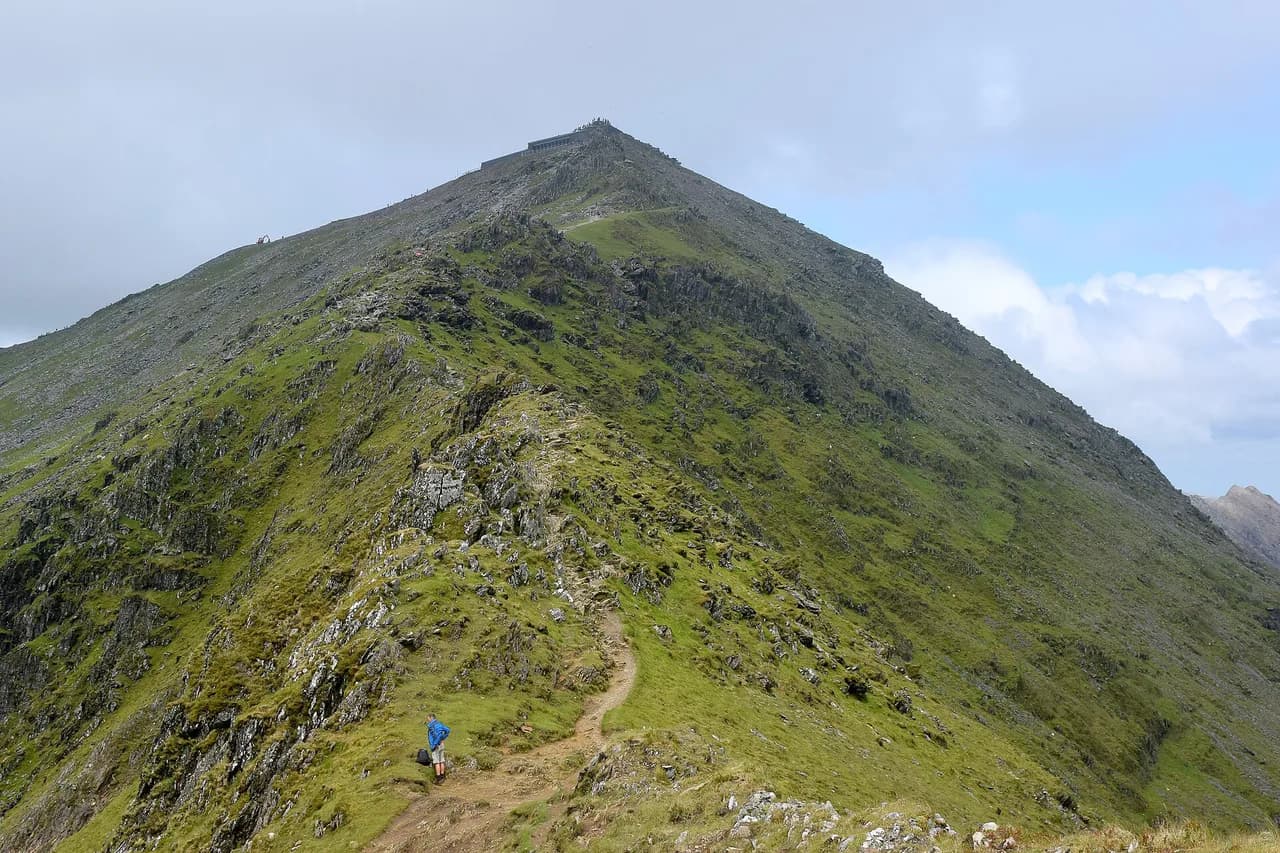
If you want to combine the coast with higher ground, the Snowdonia peaks sit inland of the Llŷn and Snowdonia region, and the Snowdon walk is a separate mountain day with its own weather and crowding considerations. The Cadair Idris walk above the Mawddach estuary is another inland alternative. Neither is part of the coast path, and both need proper mountain kit.
Accessible and family-friendly sections
Much of the Wales Coast Path is accessible for wheelchairs, bikes, trikes and buggies on sections that are wide, flat and relatively smooth. The best-known examples are the Millennium Coastal Path from Llanelli to Pembrey Forest, parts of the Mawddach Trail between Dolgellau and Barmouth, and seafront promenades at Rhos on Sea, Llandudno and Llanfairfechan. These are the stretches to choose with small children or a pushchair.
Short, flat family walks are plentiful even where the full region is rough: the Llandudno promenade, the Beaumaris waterfront and the Carmarthenshire sands all give an easy hour or two. The official site lists locations suitable for mobility aids and pushchairs, which saves guesswork. Pick a there-and-back route on a flat section and you can turn around whenever energy runs out.
Tides, exposure and weather on coastal walking
Two tidal features dominate planning: the Worm's Head causeway at Rhossili, where the island becomes inaccessible as the sea rises, and the huge tidal range of the Severn Estuary on the final stretch. Check tide tables before either, and never try to beat an incoming tide. On the open cliffs, wind and rain arrive faster than inland forecasts suggest.
Coastal walking in Wales means carrying waterproofs in every month and treating a warm forecast as a bonus rather than a guarantee. Summer brings the best chance of settled weather and the longest daylight for long days, while spring and autumn give quieter paths and softer light; winter shortens the day and increases the chance of gales and mud. Plan shorter stages whenever the daylight hours fall under ten.
Where to stay and the wild camping rule
Wild camping without the landowner's permission is not allowed anywhere in Wales, including on beaches, so the Wales Coast Path is a bed-and-campsite route rather than a wild-camp one. There are plenty of campsites near the beach with access to the path, and towns along the route have guesthouses, pubs with rooms and hotels. Book ahead on the Pembrokeshire and Llŷn stages in summer.
The pattern that works best is to base in a town with a rail station and walk out-and-back or use a local bus for one-way days, which removes the need to carry a tent. Refill points along the route let you top up water bottles without buying plastic, and most coastal towns have a shop within a short detour of the path.
Choosing a base for the section you want to walk
Match your base to your goal: Llandudno for the Great Orme and north coast promenades, Menai Bridge or Holyhead for Anglesey's circuit, Porthmadog or Harlech for the Llŷn and Snowdonia coast, Aberystwyth or Cardigan for Ceredigion, St Davids or Tenby for Pembrokeshire, Swansea for the Gower, and Cardiff or Chepstow for the final region. Each has rail or bus links, which lets you walk one-way days without a car.
If your time is limited, the sharpest choice is between Pembrokeshire's cliffs and the north coast's flat, castle-rich promenades; the first gives drama and effort, the second gives distance and ease. Walkers who want remoteness should head for Llŷn; those with children should head for the Millennium Coastal Path or the Mawddach Trail.
Plan Your Visit
Start by choosing a region rather than the whole path: the eight lengths run from 68 to 182 miles (108 to 291 km), and one region fills a good week without the pressure of an end-to-end schedule. Then pick a base town with rail or bus links so you can walk one-way stages and leave the car behind.
Pack for wind and rain whatever the month, check tide tables for Worm's Head and the Severn Estuary, and book beds ahead on the remote stages. The official route pages carry the stage-by-stage maps, and local operators publish seasonal lift and funicular times. Get the section right and the Wales Coast Path delivers a different coastline every day.
Frequently Asked Questions
How long is the Wales Coast Path?
The path is 870 miles, or about 1,400 kilometres, following the entire Welsh coastline from the Dee Estuary near Chester to Chepstow. It is divided into eight regions, ranging from 68 miles in Carmarthenshire to 182 miles on the Pembrokeshire Coast Path.
How long does it take to walk the whole Wales Coast Path?
A fit walker averaging around 20 miles a day can finish in six to seven weeks. At a steadier pace of about 10 miles a day with rest breaks, plan on around three months. Many people instead walk it region by region over several holidays.
Where does the Wales Coast Path start and end?
The northern end is on the Welsh border with England on the outskirts of Chester, at the head of the Dee Estuary. The southern end is at Chepstow, where the path connects with Offa's Dyke. You can walk it in either direction.
How difficult is the Pembrokeshire Coast Path?
It is the roughest and most rewarding stretch for many walkers, with repeated steep climbs and descents between beaches, cliffs, sea arches and offshore islands. Plan daily distances of a few miles less than on the flat north coast promenades, and expect uneven ground.
Which section of the Wales Coast Path is easiest?
The North Wales Coast and Dee Estuary region is the flattest, largely on promenades, concrete surfaces and cycle routes. In Carmarthenshire, the Millennium Coastal Path between Llanelli and Pembrey Forest is wide, flat and smooth enough for wheelchairs and pushchairs.
Can you wild camp on the Wales Coast Path?
No. Wild camping without the landowner's permission is not allowed anywhere in Wales, including on beaches. Use the many campsites near the path or stay in the towns along the route.
What is the best base for walking the Wales Coast Path?
Match the base to the region: Llandudno for the Great Orme, Menai Bridge or Holyhead for Anglesey, Harlech or Porthmadog for Llŷn and the Snowdonia coast, Aberystwyth for Ceredigion, St Davids or Tenby for Pembrokeshire, and Swansea or Cardiff for the south. All have rail or bus links for one-way days.
When is the best time to walk the Wales Coast Path?
Summer gives the longest daylight and the best chance of settled weather, which matters for long cliff stages. Spring and autumn are quieter and often beautiful, though you should carry waterproofs in any month and check tide times for the tidal crossings.
Sources
Trail notes for your next trip
Optional updates when we add or revise hiking guides.
You might also like
Continue reading
More guides you'll find useful