Northumberland Coast Path: Stages and When to Walk
The Northumberland Coast Path runs 60 miles from Cresswell to Berwick-upon-Tweed in six stages. Plan the stages, trailheads, terrain and best months to walk.
On this page
The Northumberland Coast Path is a long-distance route for hikers who would rather finish a day with sand in their boots than a summit cairn in the clouds. A 60-mile (roughly 97 km) line of continuous coast path runs from Cresswell in the south to Berwick-upon-Tweed in the north, linking wide beaches, rocky headlands, castles, harbours and old villages.
Because the route is low and linear, the planning questions are different from a mountain traverse: how far you can carry each day over sand and firm track, which villages sit at stage ends, and how the exposed headlands feel in wind and rain. The official split into six stages gives you ready-made day sections.
Why this coast suits hikers who dislike big climbs
This is a walk of changing surfaces rather than elevation. The landscape shifts between sandy beach, rocky headland, farmland and quiet lanes, with castles and working harbours as the recurring landmarks.
That makes it a good first long-distance route for hikers with steady mileage but modest climbing experience, and an easy one to dip into rather than complete. Pick two or three stages and you get a self-contained walking break with villages at both ends. If you want the wider menu of hill and inland routes in the county, the guide to walks in Northumberland sets the coast beside them.
The honest trade-off is weather. A low route on open sand and exposed headland offers no shelter and no tree line, so wind and horizontal rain are the real difficulty rather than steep ground. Build a shorter day into your plan for the worst forecast and keep the beach sections for the better half of the day.
The route at a glance
The path runs 60 miles from Cresswell to Berwick-upon-Tweed and is officially divided into six stages, each ending at a village or town where you can stop.
The stage ends run north in sequence: Cresswell, Warkworth, Craster, Seahouses, Belford, Fenwick and finally Berwick-upon-Tweed. Treat those names as the framework for your itinerary and book overnight stops around them.
The route lies inside the Northumberland Coast National Landscape, the protected coastal strip that also holds a dense network of shorter circular walks. Those circles are useful rest-day options or bad-weather substitutes when a full stage feels too much.
Getting to Cresswell and home from Berwick-upon-Tweed
Cresswell sits at the southern end of the route, within reach of the main coastal road and rail corridor, and Berwick-upon-Tweed at the northern end is a stop on the East Coast Main Line. That rail spine is the practical way to link the two ends: travel to the south by train and bus, then return from Berwick by train.
For the middle stages, plan each day around a stage-end village so that a lift, bus or short taxi link can return you to your base. The coast path's own Getting Around pages are the place to match transport to your chosen stage ends.
If you would rather hand over the logistics, self-guided walking holidays along this coastline exist, with baggage movement and overnight bookings arranged for you. They suit hikers who want the mileage without the daily car shuffle.
Stage 1: Cresswell to Warkworth
The opening stage leaves Cresswell and heads north along the southern stretch of the coast, with long beach walking and the broad sands of Druridge Bay as its signature. It is the gentlest introduction to the route: wide, low and open, with firm sand underfoot when the tide is out.
Warkworth, the stage end, sits below its castle and gives you a town with accommodation and services before the route turns more varied. The soft sand above the tide line is slower going than the wet strip, so aim to walk close to the water where the beach allows.
Stage 2: Warkworth to Craster
This stage carries you up the coast past Alnmouth and toward the heavily indented, rocky section around Craster. The character changes here: the beach gives way to small coves, low cliffs and the working harbour at the stage end.
Alnwick Castle sits inland from this stretch and works well as a half-day side trip from a Warkworth or Alnmouth base. The walking itself stays close to the shore, with short sharp pulls over headlands rather than sustained climbing.
Stage 3: Craster to Seahouses
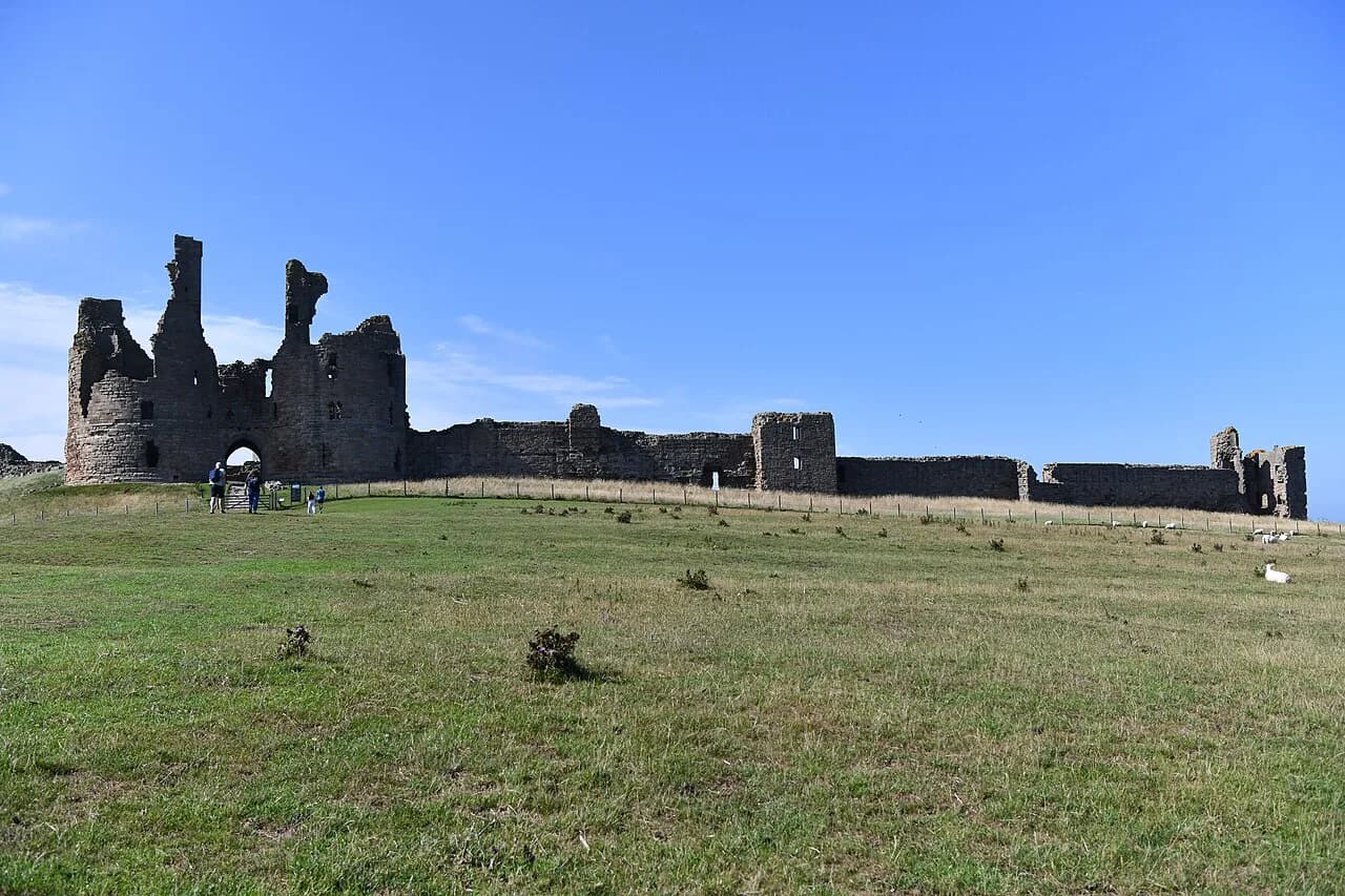
The middle stage is the one to plan most carefully, because it passes the castle at Bamburgh and runs through open dunes and beach toward Seahouses. Between Craster and Bamburgh, the path crosses an exposed stretch with few places to shelter from wind.
Seahouses is a substantial village with services and a harbour, making it the natural base for the middle of the route. From here the Farne Islands lie offshore, and a rest day here is easy to justify if the weather turns.
Stage 4: Seahouses to Belford
North of Seahouses the path turns inland behind the dunes, skirting the flat farmland behind Budle Bay before reaching Belford. The beach walking continues in part, but this stage feels quieter and more agricultural than the ones before it.
Belford is a small town rather than a coastal village, which means your overnight stop is a short way from the water. It suits hikers who want a quieter base with easy access to the middle stages.
Stage 5: Belford to Fenwick
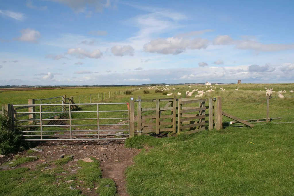
This is the quietest, most inland-feeling stage of the six, crossing farmland and lanes behind the coast. Expect fewer services, longer gaps between villages and a more solitary day than the Bamburgh stretch.
Carry food and water for the day rather than relying on finding a shop on route, and treat Fenwick as a small stop with limited facilities. If you are splitting the path over a week, this is the stage to shorten rather than stretch.
Stage 6: Fenwick to Berwick-upon-Tweed
The final stage turns back toward the coast and finishes at Berwick-upon-Tweed, a walled town on the Tweed with a railway station. It closes the walk with a return to beach and headland after the inland quiet of stage five.
Finishing in a town with a mainline station makes the last day easy: walk in, pick up your certificate and take the train home. Plan the arrival for the early afternoon so a delayed train does not strand you at dusk.
Terrain and what the walking is like
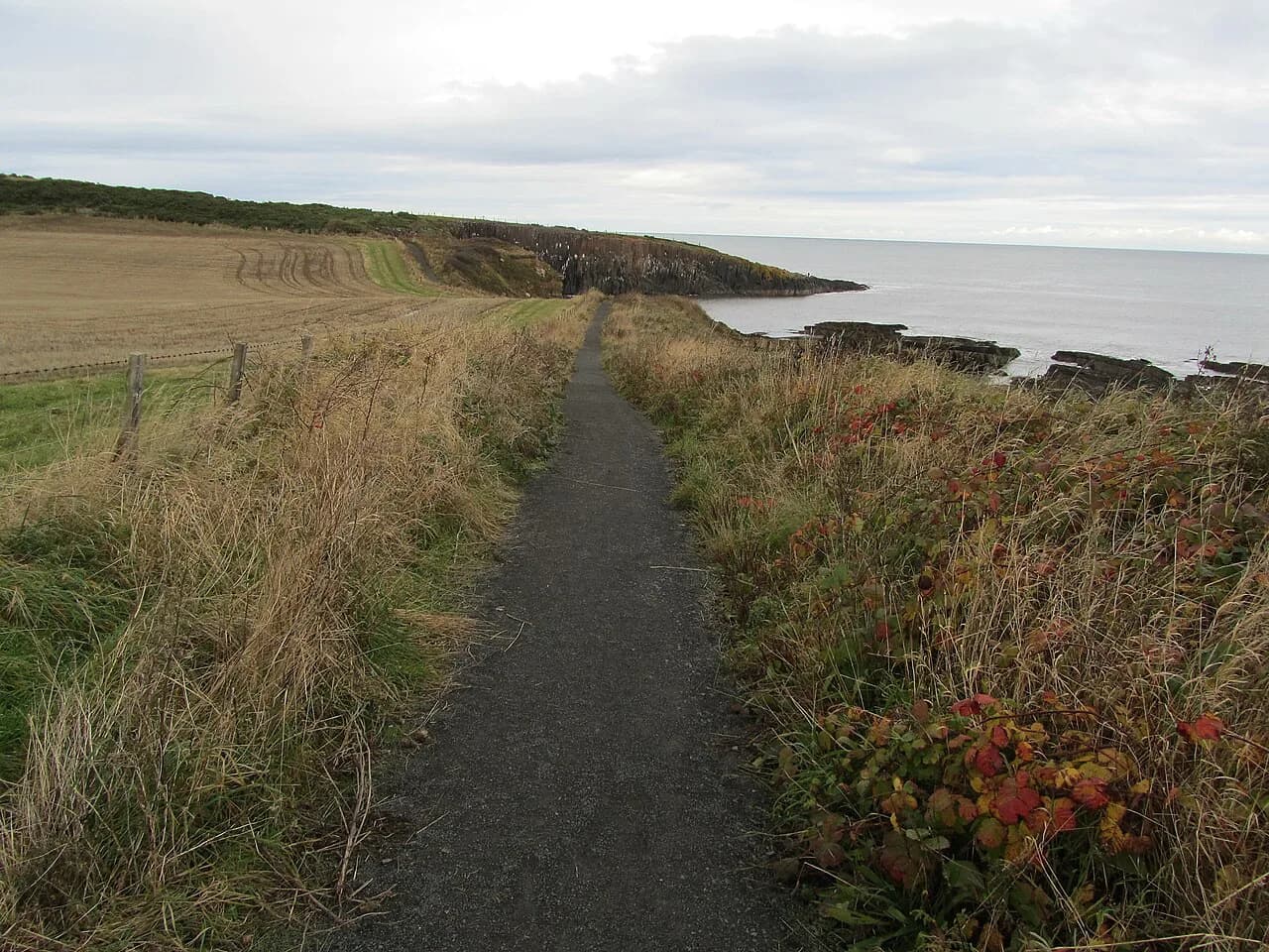
Two surfaces dominate: firm sand and beach, and farmland track and quiet lanes, with rocky headland in between. Sand is slower than its flat look suggests, especially dry sand above the tide line, so a beach mile costs more effort than a lane mile.
Footwear is the practical decision that follows. Trail shoes with good grip handle beach and firm track well, but the muddy or slippery patches on tidal and farm sections reward a boot with ankle support and waterproofing.
Rocky headland sections bring short, steep steps and uneven ground rather than sustained ascent. Poles help on the beach sections and save your ankles when the sand softens.
Distance, ascent and time per day
The overall distance is 60 miles across six stages, which averages around ten miles a day if you follow the official split evenly. The real variation is surface and weather rather than climbing, since this is a low coastal route without major ascent.
Match your daily mileage to the surface, not to the map. Beach days at Bamburgh and Druridge Bay feel longer than their distance, while the inland lanes of stage five go faster. If you are building a first itinerary, start with shorter beach stages and lengthen the farmland ones.
Allow a spare half day for the week. Wind and rain can slow a coastal walk by more than climbing does, and a low route offers no shelter to wait it out.
Villages and towns to base yourself in
Warkworth and Alnmouth serve the southern stages, Craster and Seahouses the middle, and Belford the quieter northern stretch. Berwick-upon-Tweed works as a base for the final day and as a rail hub for the whole trip.
Choose your base by stage, not by how the town looks on a map. Seahouses and Warkworth give you the most services and the easiest transport links; Belford and Fenwick are quieter and demand more planning for food and lifts.
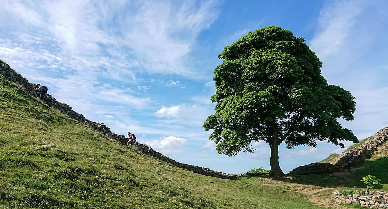
If you have a rest day, spend it inland or on a circular route rather than on a stage. The area has a strong set of short circular walks and, nationally, a dense network of long-distance routes such as the Hadrian's Wall Path and St Cuthbert's Way that share this coast's heritage.
Holy Island and the Pilgrim's Way
The Pilgrim's Way to Holy Island is the coast's most iconic side trip: a walk of around three miles across the sands, following the route pilgrims have used since the island became a place of pilgrimage in 635. Before the causeway was built in 1954, the vertical poles across the sands were the only markers of the safe line.
The timing rule is strict and simple: set off two hours before low tide and walk with the outgoing tide, not the rising one. Do not attempt the crossing at other times, at dusk or in bad weather.
The route can be muddy and slippery, so go barefoot or in waterproof boots, and take a sturdy stick. The island itself, with its priory and castle, is the reward, and the same crossing rules apply on the way back.
Walkers following St Cuthbert's Way also finish or start at the Holy Island of Lindisfarne, so the two routes meet on the same sands. If you are combining them, plan the island day first and build the rest of the coast path around the tides.
For the castle and village at the northern end of the route, the Bamburgh walk makes a good half-day on foot from the castle sands toward Budle Bay, and fits neatly into a rest day near Seahouses.
When to go: best months, weather and daylight
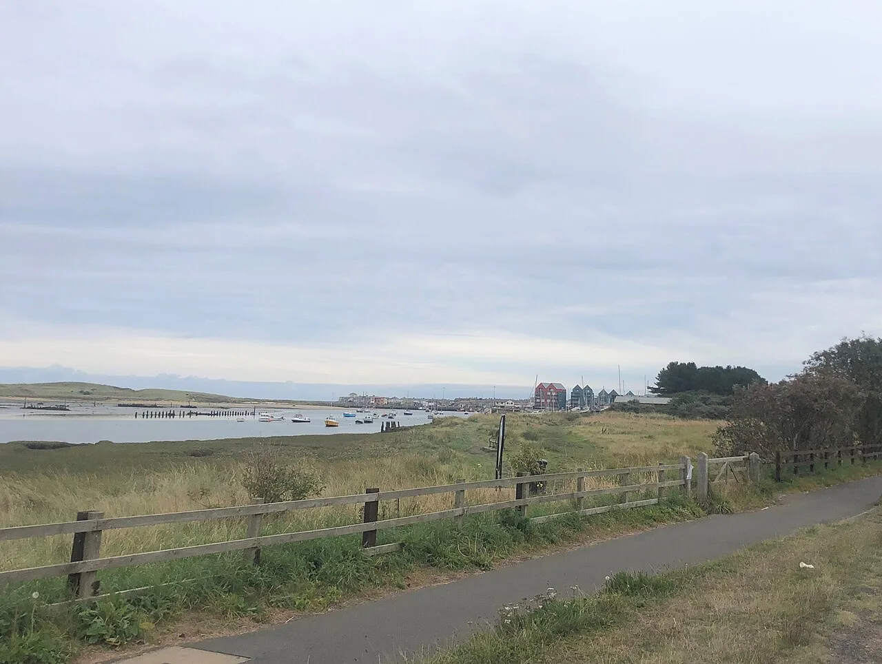
Late spring and early autumn give the best balance of light and comfortable walking on this coast, with long days and fewer crowds than midsummer. Summer brings the warmest weather and the busiest villages, so book accommodation early if you plan July or August.
Winter walking is possible but the days are short and the exposed headlands are cold in wind. Check tide times before any beach stretch, because a rising tide can close the wet sand strip you planned to walk on.
Tide tables and the Pilgrim's Way crossing windows change daily, so check current times on the coast path's own safe walking to Holy Island page before you set out on the island day.
The Coast Path Passport and certificate
The Coast Path Passport gives the walk a structure: participating cafes, restaurants and shops stamp it as 'Welcome Ports', and most will also fill your water bottle for free. You need at least two stamps per day to claim the official Northumberland Coast Path Certificate at the end of the walk.
Passport packs, including the passport, a list of participating businesses and a certificate order form, are available through the coast path site, and some businesses sell packs directly. Certificates can be collected at Berwick Tourist Information Centre or posted to you.
What to pack
Pack for two modes: beach and exposed headland. Waterproof boots with ankle support for the muddy and rocky sections, and a lighter shoe if you plan to walk the Pilgrim's Way barefoot on the sands.
Layer for wind rather than cold. A light windproof shell and a warm mid-layer will do more for you on open beach than a heavy insulated jacket, and a cap and sun protection matter on bright days with no shade. Carry water for the inland stages of the route, where services are thin.
Overnight stops and huts
There are no mountain huts on this route: the overnight infrastructure is villages, towns and guesthouses along the stage ends. Book around Warkworth, Craster, Seahouses, Belford and Berwick-upon-Tweed so each day finishes at a bed rather than a taxi ride.
Baggage transfer is available through self-guided operators, which lets you walk with a day pack while your luggage moves between stops. Attempting the whole route with a full pack is fine for experienced hikers but adds real effort on the sand sections.
The wider North Sea Trail and other long-distance links
The Northumberland Coast Path forms part of the North Sea Trail, a network of coastal routes around the North Sea. That matters practically because it means the route is marked as a continuous long-distance path rather than a series of disconnected day walks.
If you enjoy this kind of route, the Wales Coast Path offers a comparable long-distance coastal walk with its own tide and weather considerations. Closer to home, the Hadrian's Wall Path and the Simonside Hills give you very different Northumberland walking on higher, rougher ground.
Plan Your Visit
The Northumberland Coast Path rewards a simple plan: split it into the six official stages, book beds at Cresswell, Warkworth, Craster, Seahouses, Belford and Berwick-upon-Tweed, and treat Holy Island as a tide-timed day rather than an add-on. Get the Pilgrim's Way timing right and the rest is mileage over sand and farmland, not climbing.
If you want more walking in the county after the coast, the guide to Northumberland National Park covers the hill routes inland, while the Wales Coast Path offers a longer coastal challenge elsewhere in the UK. For tide windows, confirm the crossing times with the coast path's Holy Island guidance before your island day.
Frequently Asked Questions
How long is the Northumberland Coast Path?
It runs 60 miles from Cresswell in the south to Berwick-upon-Tweed in the north, following a continuous line of coast path.
How many stages are there?
The route is officially divided into six stages, running from Cresswell to Warkworth, Warkworth to Craster, Craster to Seahouses, Seahouses to Belford, Belford to Fenwick and Fenwick to Berwick-upon-Tweed.
Where does it start and finish?
It begins at Cresswell and finishes at Berwick-upon-Tweed, which has a mainline railway station for the journey home.
Can you walk to Holy Island on the Pilgrim's Way?
Yes. The crossing is around three miles, and walkers should set off two hours before low tide, walking with the outgoing tide. Do not attempt it at other times, at dusk or in bad weather.
What is the Coast Path Passport?
It is a booklet stamped at participating cafes, shops and businesses along the route. You need at least two stamps per day to claim the official certificate at the end.
When is the best time of year to walk?
Late spring and early autumn give long daylight and comfortable walking weather, with fewer crowds than midsummer. Winter days are short and the headlands are cold in wind.
Is the route hilly?
No. It is a low coastal route of beach, farmland track and rocky headland, with short steep steps over headlands rather than sustained climbing.
Where should I base myself?
Warkworth and Alnmouth suit the southern stages, Craster and Seahouses the middle, Belford the quieter north, and Berwick-upon-Tweed the final day.
Sources
Trail notes for your next trip
Optional updates when we add or revise hiking guides.
You might also like
Continue reading
More guides you'll find useful