Walks in Northumberland: Best Hikes to Choose
Plan walks in Northumberland, from Hadrian's Wall and the Cheviot Hills to coastal paths at Bamburgh and Dunstanburgh, with terrain, seasons and base villages.
On this page
Northumberland rewards walkers who like big skies and thin crowds. Within a single county you can tramp a Roman frontier along a basalt ridge, follow a moorland edge above Rothbury, circle a forest reservoir or walk a dune-backed beach to a ruined castle. The trade-off is that the county is large and the hills are remote, so the walk you choose should be matched to your transport, your fitness and the season before you fix a base.
The distances between areas are real: the Cheviot Hills in the north, Hadrian's Wall in the south, Kielder in the west and the coast to the east are separate days out rather than a single loop. Pick one or two zones for a short break and build the walks around a village that sits inside them. The suggestions below follow that logic.
What Northumberland offers walkers and who each area suits
The Northumberland National Park runs from the Scottish Borders south to Hadrian's Wall, and it holds the county's hill ground: the Cheviot massif, the Simonside Hills above Rothbury and the Whin Sill ridge that carries the wall. These are open, exposed moors and ridges where navigation and weather matter more than technical difficulty.
Kielder Water and Forest Park is the western alternative, a mix of reservoir shore, conifer forest and dark-sky country with gentler gradients and enclosed paths. The coast, from Amble north to Berwick-upon-Tweed, offers flat beach and dune walking with castles as landmarks, making it the best option for families and rest days. If you want bigger mountains, the Lake District and Scotland are outside the county and worth a separate trip, and our guide to hiking in the Lake District shows what a mountain day there involves.
Northumberland National Park: main walking areas and how to reach them
The national park authority publishes self-guided routes with PDF and GPX downloads, which is the most reliable way to fix a line before you travel. Its route map and interactive tools are not always available, so downloading the files in advance saves trouble on a poor signal in the hills.
Public transport across the north east is patchy in the uplands, and the park points walkers to Traveline for journey planning across bus and rail. In practice, most trailheads in the Cheviots and around Kielder are easiest by car, while Hadrian's Wall country and the coast have usable bus links. Plan a linear walk only where a return service exists, or arrange a two-car shuttle.
Storm damage has closed or made unsafe some rights of way in the park, including routes from Elsdon into Harwood, public rights of way through Kidland Forest and Salter's Road through Uswayford Forest. These statuses change, so check the park's route pages or the county council's rights of way information before committing to a forest or moorland line.
Hadrian's Wall: walking the Steel Rigg to Housesteads section
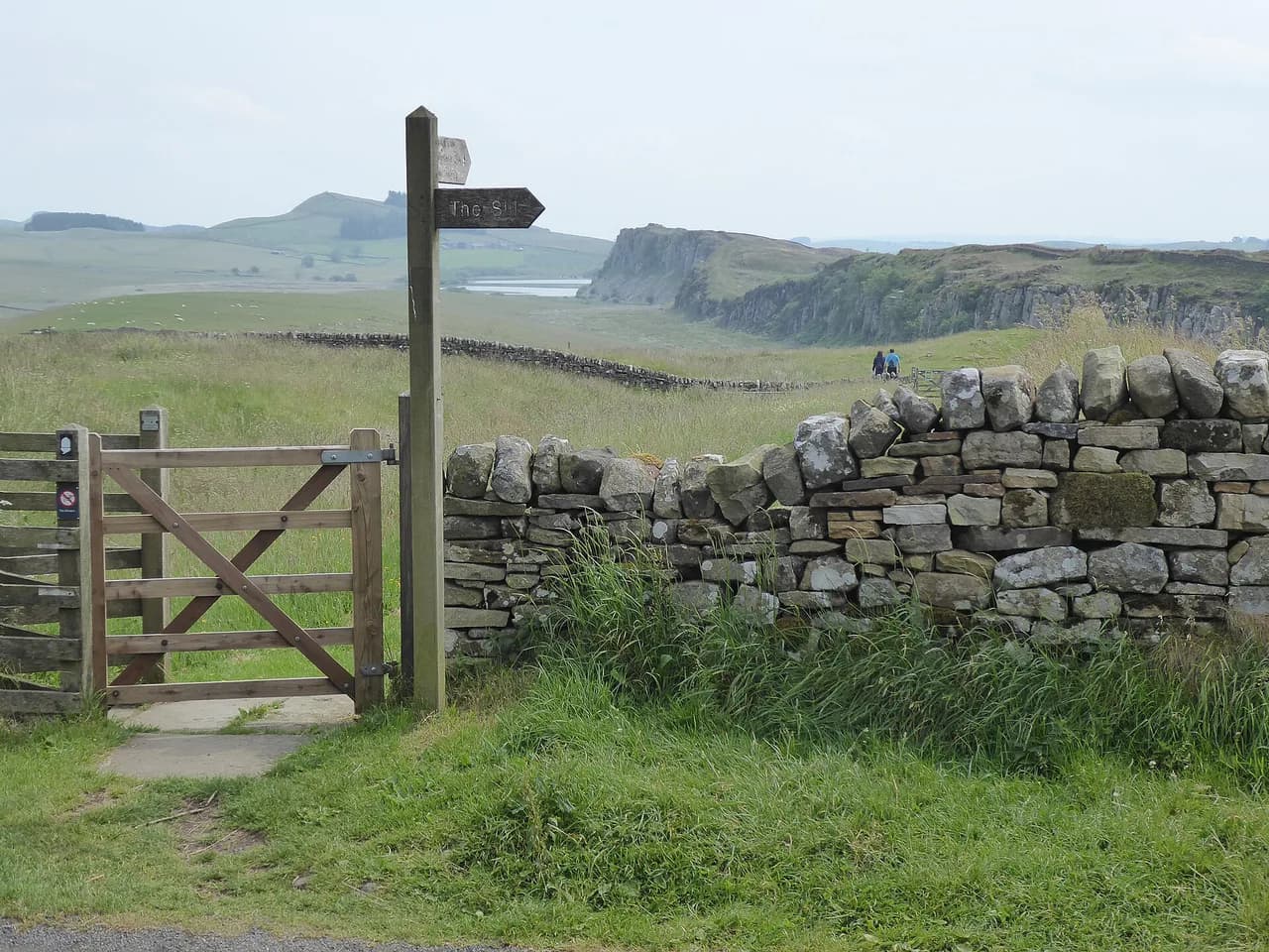
The most rewarding short section of the Hadrian's Wall Path is the ridge between Steel Rigg and Housesteads Roman Fort, where the wall follows the Whin Sill over repeated craggy ups and downs. It is a linear walk, which means you either retrace your steps or use the wall bus to return to your start; parking at The Sill near Steel Rigg gives you both the trailhead and the visitor centre.
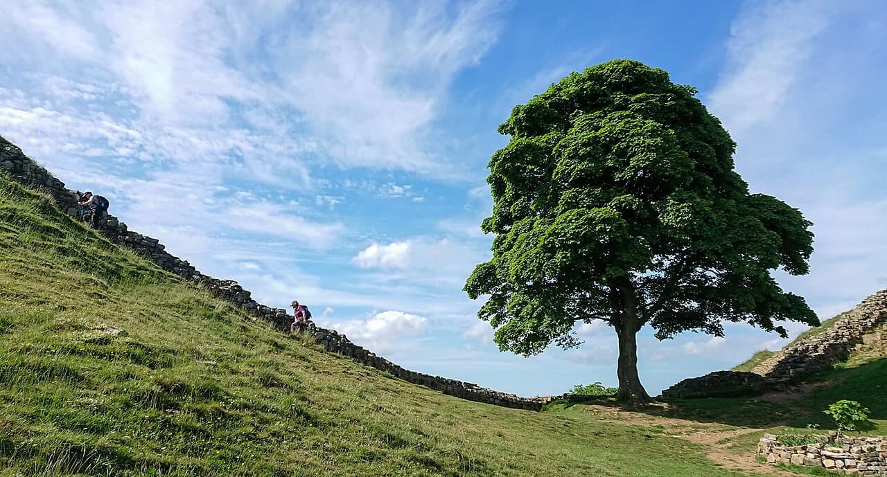
The walking is short in distance but constant in effort: short steep pulls onto each crag, stone pitches underfoot and open ground with little shelter. The ridge passes the site of the tree at Sycamore Gap and ends at Housesteads, one of the best-preserved forts on the frontier, where the fort and museum sit beside the trail. Carry waterproofs even on a fair forecast, because the ridge catches wind from every direction.
Allow more time than the map suggests if you want to look at turrets, milecastles and the fort, and note that the fort is an English Heritage site with its own admission arrangements. The walk suits anyone comfortable with a few hours of hill walking; it is not a flat stroll along a field boundary.
The Cheviot Hills from Wooler: hill days and the Cheviot summit
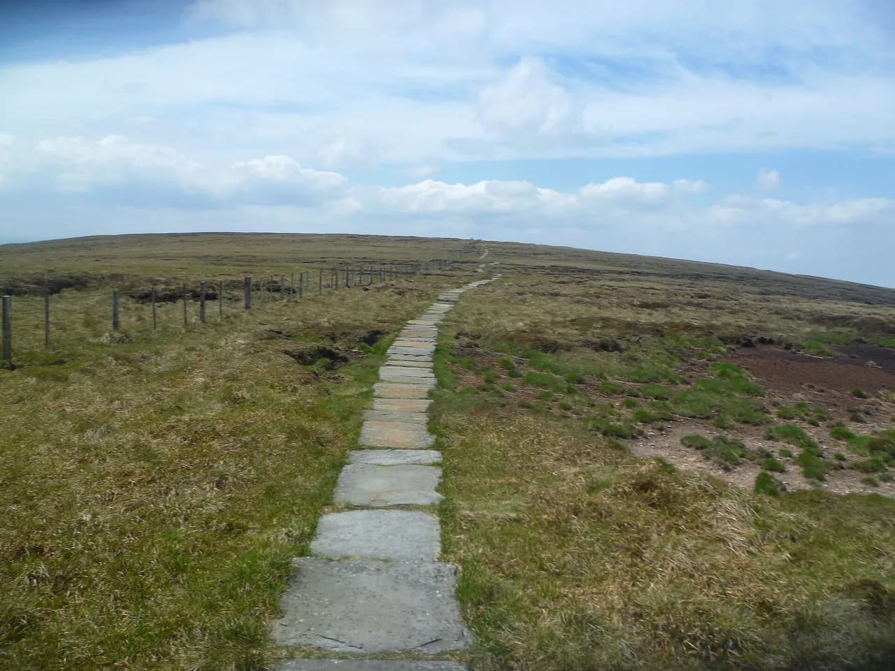
Wooler sits at the foot of the Cheviot Hills and works as the natural base for the northern part of the national park. The summit of The Cheviot is the county's high point and a genuinely challenging ascent over peat and grass, with navigation needed when cloud sits on the tops. Approach it as a full hill day rather than an afternoon outing, and start early enough to be off the plateau before evening.
The Cheviot ground is wet underfoot for much of the year, and the plateau can hold snow or slush well into spring. In poor visibility the featureless tops demand a map and compass rather than a phone alone. Lower routes from Wooler into the valleys and around Humbleton Hill give shorter alternatives when the summits are clagged in.
Simonside Hills near Rothbury: moorland ridges and rocky tops
The Simonside Hills above Rothbury form a heathery sandstone ridge with rocky summits, wide views to the Cheviots and a network of paths that rewards a half-day. The terrain mixes gentle moorland track with short rocky steps, so it suits walkers who want a proper hill feel without a full-day expedition. Rothbury provides the base, with the trailheads reached by a short drive or a walk out of town.
Navigation on the ridge is straightforward in clear weather, but the moorland paths braid and the heather can hide boggy ground after rain. Take the rocky tops in settled conditions and keep an eye on the cloud line, since the summits are exposed to wind. The ridge is also a good choice for a short winter day when daylight is limited.
Kielder Water and Forest Park: waterside and forest trails
Kielder Water and Forest Park gives you waterside paths, forest tracks and a shoreline that stays sheltered when the hills are windy. The forest is one of England's best places to stargaze, so a late walk or an evening at an observatory pairs well with a day on the trails. The area suits families, cyclists and walkers wanting distance without exposure.
Trails around the reservoir can be followed in short sections from car parks, which makes them easy to tailor to your time. Forest roads and tracks are generally firm, but expect mud after heavy rain and midges in still summer evenings near the water. Kielder Village and the castle visitor centre are the obvious places to start and finish.
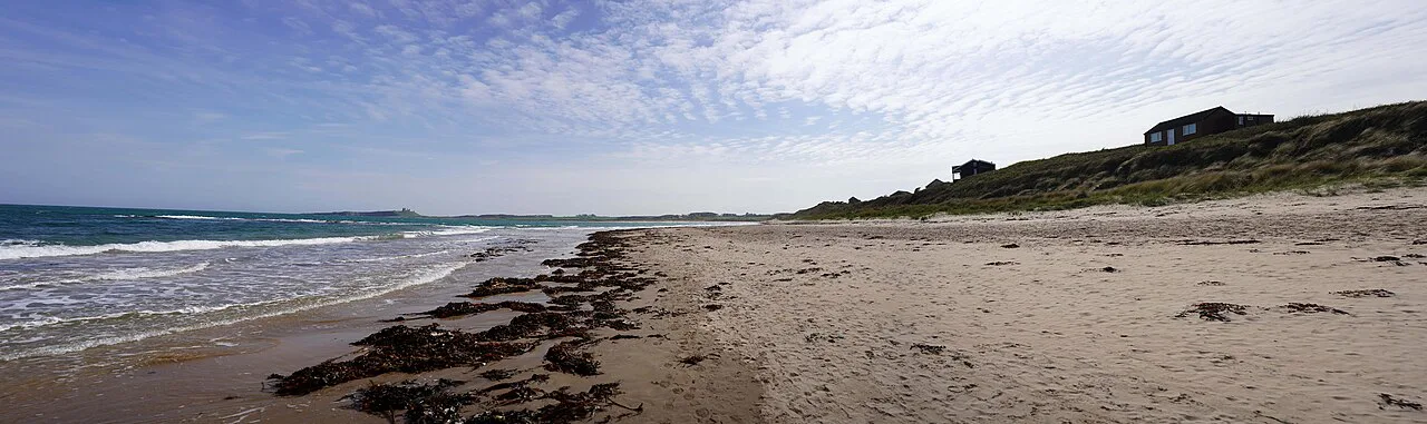
Coastal walks: Bamburgh to Budle Bay and Embleton to Dunstanburgh Castle
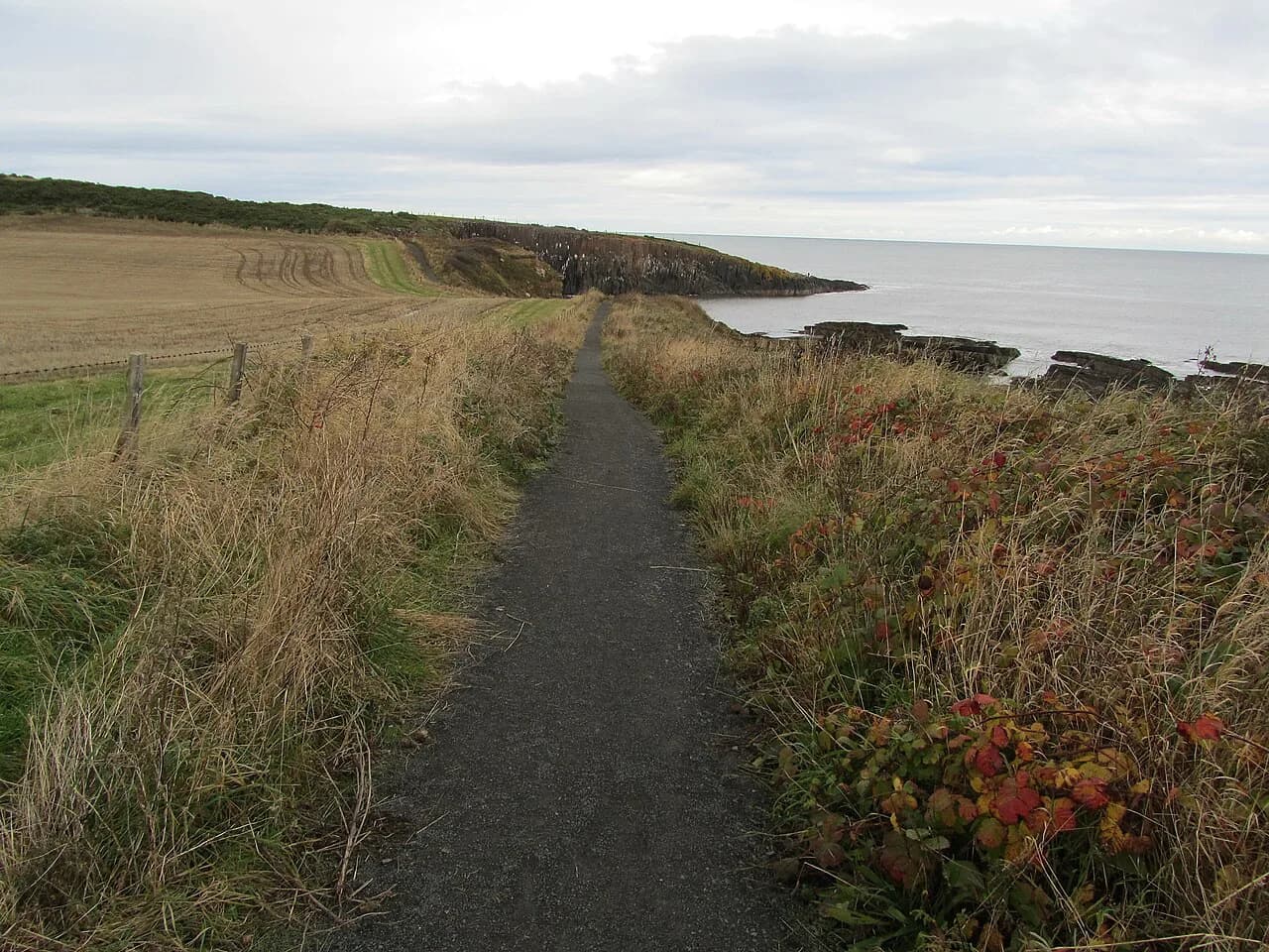
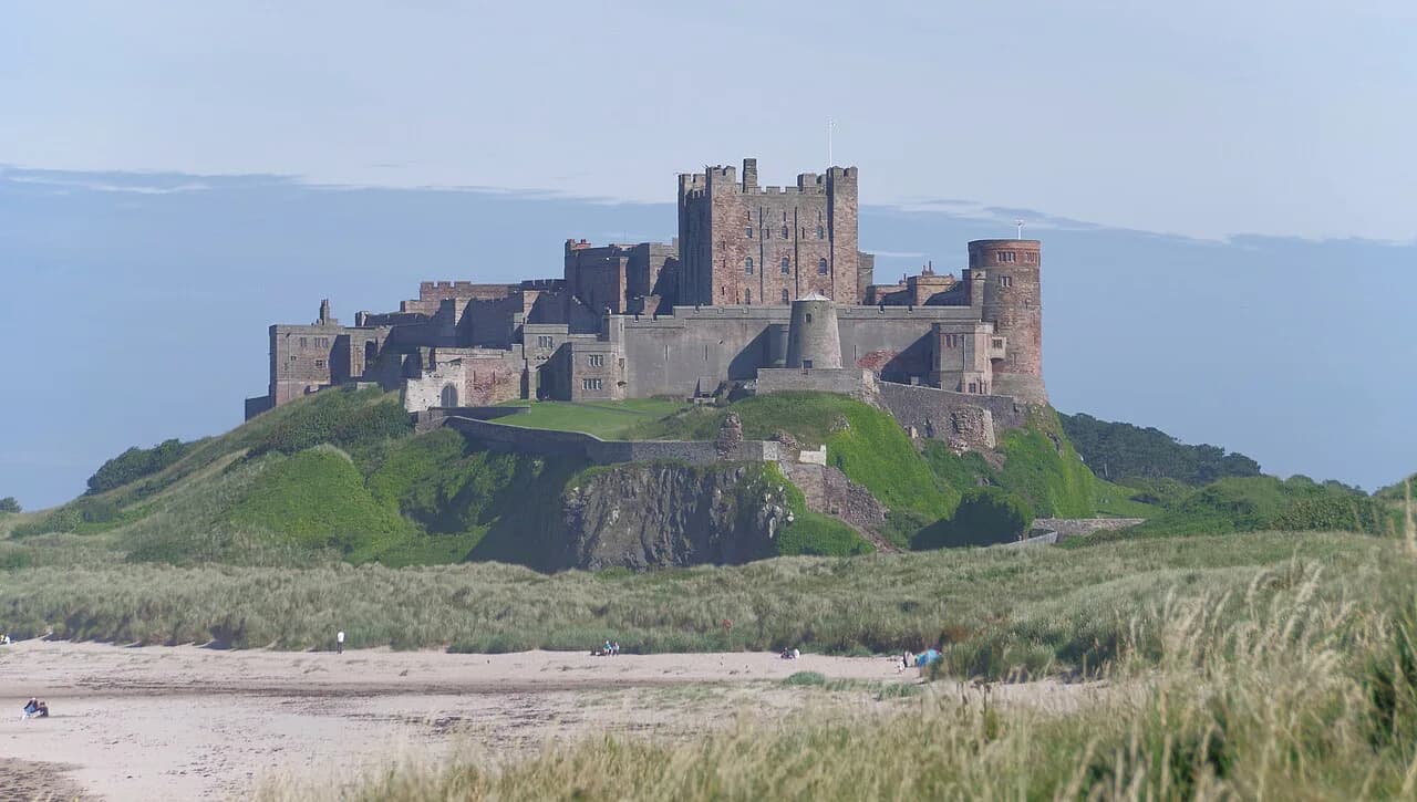
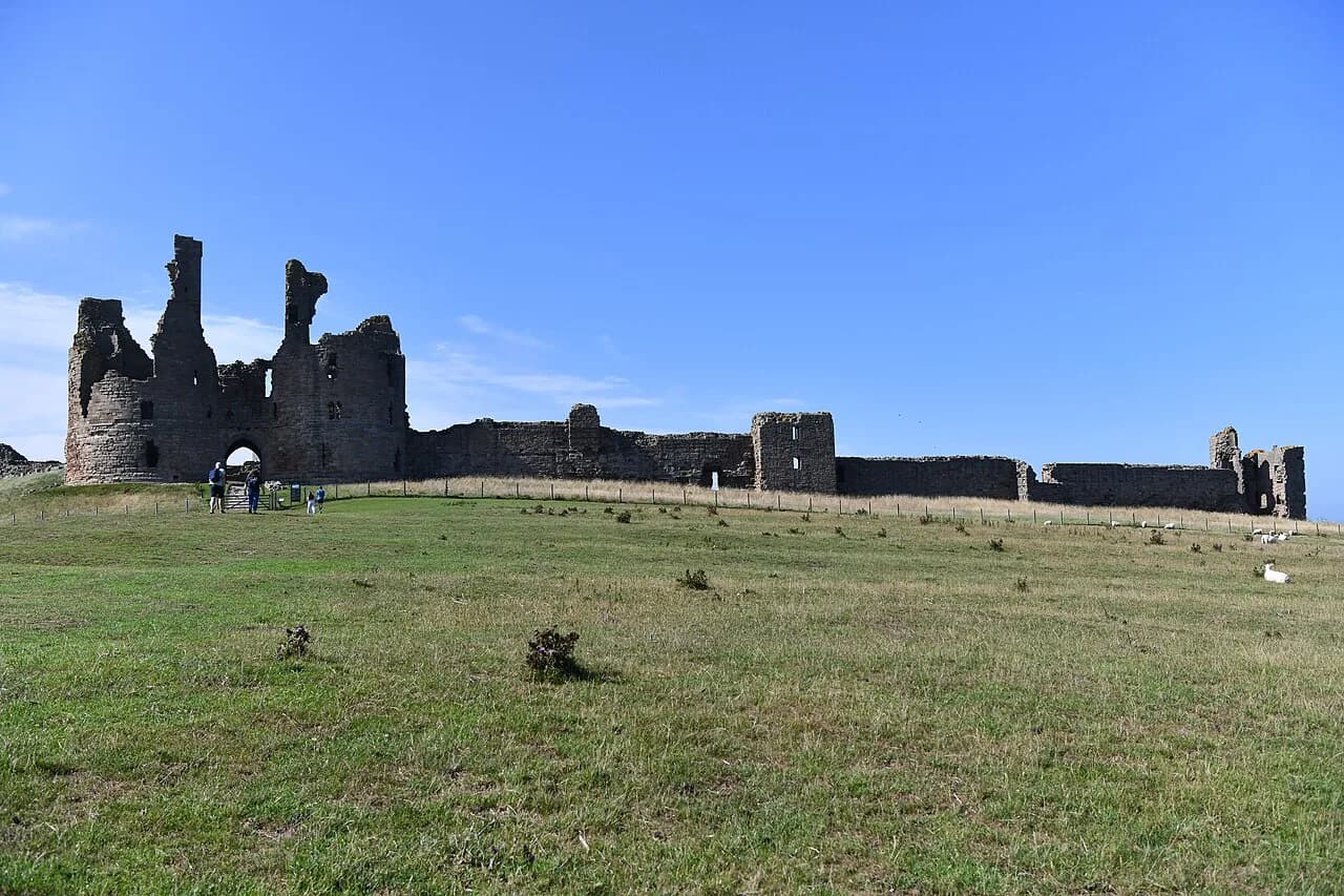
Two coastal walks stand out for scenery and ease of access: the circular route from Bamburgh out to Budle Bay, with tidal mudflats and views toward Holy Island, and the beach walk from Embleton to the ruins of Dunstanburgh Castle. Both are low-level and largely on sand, dunes and grassy paths, which makes them good choices for families and for days when the hills are in cloud.
The Embleton route can be walked from Craster as well, giving a shorter approach past the harbour and along the shore. Tides and soft sand are the main considerations: keep to the marked paths above the beach where the tide is coming in, and avoid the mudflats at Budle Bay, which are dangerous to cross. Wind off the North Sea makes these walks feel colder than the temperature suggests.
Holy Island and the Pilgrims' Way across the sands
The Pilgrims' Way to Holy Island follows the old route across the sands at low tide, and the crossing is the walk's defining decision rather than a casual beach stroll. The safe crossing window is tide-dependent and short, so the walk needs to be planned around published tide times with a margin on each side. The route ends at Lindisfarne, where the castle and priory sit above the village.
Walking the sands demands attention: the marked refuge poles guide you, but mist, shifting channels and fast-moving water make shortcuts dangerous. Rooms on the island are limited, so if you want to stay after the crossing, book early. If you would rather keep your feet dry, the causeway road is the alternative approach when it is open.
Short and family walks versus full hill days
Short walks cluster on the coast and around Kielder, where you can choose a beach, a dune path or a forest loop and still be back for lunch. The national park authority's route listings include short self-guided options alongside longer hill routes, which makes them a good starting point for matching a walk to children or a half-day.
Full hill days belong in the Cheviots and on the wall ridge, where distance, ascent and exposure add up. Plan those with a map, a compass, spare layers and enough daylight, and treat the moorland tops as remote even though they are not high by European standards.
Long-distance routes: Pennine Way, St Cuthbert's Way, St Oswald's Way, Northumberland Coast Path and Isaac's Tea Trail
Several national trails cross the county, so day-walkers and through-hikers share the same paths. The Pennine Way finishes its northern section in the Cheviots, St Cuthbert's Way runs from the Scottish Borders to Lindisfarne, St Oswald's Way links the coast with Hadrian's Wall country, and the Northumberland Coast Path follows the shore. The 210-mile (338 km) Ravenber Way is a longer coast-to-coast option for walkers wanting a multi-day challenge.
Isaac's Tea Trail is a shorter long-distance route in the south of the county, linking villages and moorland in the North Pennines fringe. For multi-day walking, accommodation along these routes is limited in places, so plan stages around villages with beds rather than expecting a bothy or shelter to be free. Bothies in the county are small huts offering basic shelter, not bookable accommodation.
Getting around: buses, the Hadrian's Wall bus and Traveline journey planning
The Hadrian's Wall bus links the main wall sites and lets you walk the ridge one way and ride back to your car at The Sill. Timetables vary by season, so plan the return journey before you set off rather than hoping for a late service. For other areas, Traveline is the practical tool for building a bus or rail itinerary across the north east.
A car remains the simplest way to reach Cheviot and Kielder trailheads, where services are sparse and spreads are long. If you are relying on public transport, choose a base on a bus route and pick walks that start and finish near a stop. That constraint usually points you to the wall corridor, the coast or the larger villages.
Where to base yourself: Wooler, Rothbury, Haltwhistle, Alnwick and Kielder
Wooler serves the Cheviot Hills and the northern national park, while Rothbury puts the Simonside Hills and Coquet valley on your doorstep. Haltwhistle is the natural base for Hadrian's Wall country, Alnwick for the coast and the castle country around Craster and Embleton, and Kielder for the forest and reservoir. Each village gives you a different set of walks without long drives.
For a mixed week, split your stay between a hill base and a coastal one rather than trying to cover the county from a single address. Accommodation in the national park and on Holy Island fills quickly in season, so reserve the remote nights first and build the rest of the itinerary around them.
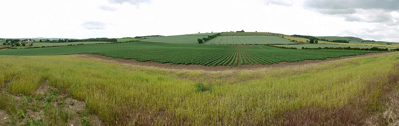
When to go: seasons, weather and ground conditions
Late spring to early autumn is the best window for the high ground, when daylight is long and the moorland has dried out. Early and late season bring snow on the Cheviot plateau and ice on the wall ridge, plus shorter days that demand tighter planning. Coastal walks are workable year-round, but wind and rain make winter beach days shorter and colder than the map suggests.
Summer brings the most reliable weather but also midges near water in still conditions and busy car parks at the coast. Autumn gives clear light and quieter trails, with the trade-off of wetter ground in the hills. Whatever the season, build in a spare day so a weather forecast does not ruin the whole trip.
Hazards: exposure, tides on the coast crossing and remote moorland
The main hazards are straightforward but real: exposed ridges and moorland tops where wind and cloud arrive quickly, wet peat and bog on the Cheviots, and soft sand or fast tides at Holy Island and Budle Bay. Carry a map and compass, waterproof layers and enough food for the day, and turn back if the cloud drops on featureless ground. On the coast, check tide times and keep to marked paths rather than cutting across sand.
Follow the Countryside Code on farmland and in the hills: close gates, keep dogs under control around livestock and take litter home. Mobile signal is patchy in the Cheviots and Kielder, so tell someone your route and expected return time before setting out.
Huts, bothies and shelter on the hill
Shelter in the Northumberland hills is limited compared with alpine country: a few small bothies offer basic refuge, and there are no staffed mountain huts on the main walking routes. Bothies are simple huts for shelter, not bookable accommodation with facilities, so plan multi-day routes around village beds and B&Bs instead.
On Hadrian's Wall country, inns and farm B&Bs along the corridor serve walkers doing the path over several days. Booking ahead matters most at weekends and in summer, and a final night on Holy Island needs to be reserved early because rooms there are scarce.
Practical kit and walking checklist
Northumberland is not a high-altitude destination, but it is a wet and windy one, so waterproof boots, gaiters, a shell jacket and spare warm layers earn their place on almost every hill day. Add a paper map, compass, headtorch and water; streams are not reliable sources on the moorland tops.
For coastal days, carry sun protection and windproof layers in the same pack, since beach walks are exposed to both. Pack out everything you bring, and leave a route plan with someone at home when you head into the Cheviots or Kielder.
Plan Your Northumberland Walking Trip
Choose your zone first: the Cheviots and Simonside for hill days, Hadrian's Wall for history and ridge walking, Kielder for forest and water, and the coast for beaches and castles. Match the base village to that choice, then build each day around a route that fits your fitness and the forecast.
Download route files before you travel, line up the Hadrian's Wall bus if you plan a linear section, and treat the Holy Island crossing as a tide-planned walk. Check current path status with Northumberland National Park before you set off, and keep a spare day for the weather.
Explore more Northumberland hiking guides
Frequently Asked Questions
What are the best walks in Northumberland for a first visit?
For a first trip, combine the Steel Rigg to Housesteads section of Hadrian's Wall for history and ridge walking with one coastal route such as Embleton to Dunstanburgh Castle. If you want a moorland day, the Simonside Hills above Rothbury give a proper hill feel without a full expedition.
Can you walk to Holy Island across the sands?
Yes, the Pilgrims' Way crosses the sands at low tide to Lindisfarne, but the crossing is tide-dependent and needs to be planned around published safe times with a margin on each side. Keep to the marked refuge poles and avoid the mudflats.
Where should I stay for walking in Northumberland National Park?
Wooler suits the Cheviot Hills, Rothbury suits the Simonside Hills, and Haltwhistle serves Hadrian's Wall country. Kielder Village is the base for the forest and reservoir, while Alnwick works for the coast.
Do I need a car to reach trailheads in Northumberland?
A car is the simplest way to reach Cheviot and Kielder trailheads, where public transport is sparse. The Hadrian's Wall corridor and parts of the coast have bus links, and Traveline can help you plan a route across bus and rail.
Are there short, easy walks in Northumberland for families?
Coastal routes such as Bamburgh to Budle Bay and Embleton to Dunstanburgh Castle are low-level and largely on sand, dunes and grassy paths. Kielder Water and Forest Park also offers short waterside and forest trails that suit families.
Which long-distance trails pass through Northumberland?
The Pennine Way, St Cuthbert's Way, St Oswald's Way and the Northumberland Coast Path all cross the county, and the longer Ravenber Way adds a coast-to-coast option. Isaac's Tea Trail covers the southern part of the county.
When is the best time of year to walk in Northumberland?
Late spring to early autumn gives the longest daylight and the driest ground for hill days. Coastal walks work year-round, while early and late season bring snow and ice on the Cheviot plateau and shorter days.
Sources
Trail notes for your next trip
Optional updates when we add or revise hiking guides.
You might also like
Continue reading
More guides you'll find useful