Bamburgh Walk: Castle, Budle Bay and Coastal Routes
Plan a Bamburgh walk with route distances, start points and coastal options, from the Budle Bay circuit to the beach path to Seahouses.
On this page
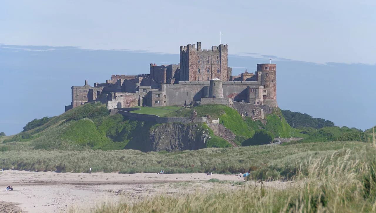
Bamburgh suits walkers who want variety in a compact stretch of coast: a castle on a basalt outcrop, golden beaches below it, dunes behind, and footpaths running west toward Budle Bay and south toward Seahouses. You can pick a gentle loop of a couple of miles for an evening or commit a full day to the Northumberland Coast Path. The village itself is the trailhead for nearly everything described here.
The routes below stay on the Bamburgh stretch of the Northumberland coast. Longer days use the coast path or St Oswald's Way and finish at villages to the south, with a bus back. If you want to widen the trip beyond this stretch, the wider walks in Northumberland guide covers the national park, Hadrian's Wall and the county's long-distance routes.
Trailhead and parking
The Redbarn Links parking area beside the castle is the marked start for the castle and Kitling Hill circular and a sensible base for any castle-side walk. From there you can drop onto Bamburgh Beach within minutes or follow the dunes north. Arrive early in peak season, because village parking and the roadside spaces fill on fine weekends.
If you are staying in Bamburgh, skip the car entirely: the beach, the castle and the Budle Bay route all start from the village streets. Walkers based elsewhere can park near the castle or in the village and walk out from there. Bamburgh Parish Council publishes the local footpath network and the main bridleways, including the one from the end of the Wynding to Budle, so you can plan a route straight from your accommodation.
The Bamburgh Castle and Budle Bay circuit: distance, ascent and time
The Budle Bay circuit is the best short introduction to the area: 3.43 miles (5.5 km) with about 264 ft (80 m) of ascent, normally walked in 1.5 to 2 hours at an easy pace. It leaves Bamburgh village, passes the golf course and Newtown, skirts Budle Bay, and returns along the coast past Blackrocks Point and Harkess Rocks. Save it for a clear afternoon if you want the castle views at their best.
Walk it clockwise. That direction puts the wide bay and Holy Island views on your outward leg and keeps the castle ahead of you for the final stretch, where the light is usually better in the afternoon. The trade-off is a stretch beside the B1342 and through the golf course at the start; keep to the marked path and give way to players.
Route description clockwise: village, Budle Bay and the castle
From the village, head west past St Aidan's Church and follow the roadside path until it turns off beyond Lonsdales Hill into Bamburgh Golf Club. Aim for Newtown farm cottages, where Budle Bay opens up in front of you with Holy Island visible on a clear day. The path then runs along the edge of the bay through dunes or, when the tide is out, on the sand.
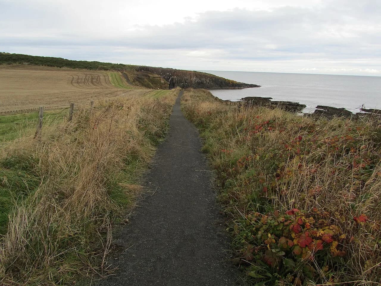
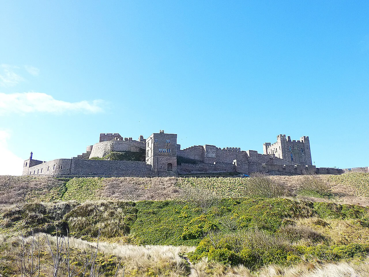
Blackrocks Point is the natural lunch stop, with a lighthouse and a wide view back across the bay. From there the return leg runs south along the coastal grass and rocks to Harkess Rocks, where the dark rock foreground and the castle above the sea give the classic photograph. Continue through the dunes with the castle on your left until you reach the village or the castle car park.
The junction where the Northumberland Coast Path and St Oswald's Way meet near Greenhill is the point to know if you want to extend the day. Turning south there puts you on the long-distance route toward Seahouses; turning west takes you inland on the Kitling Hill circuit. Both are signposted, but carry the OS Explorer 340 map so you can match the paths to your plan.
Bamburgh Dunes short circular
The dunes loop is the shortest option, just over 2 miles (3.2 km) around the castle, through the sand dunes and back along the beach. It is flat, quick and good for a morning or late afternoon when you do not want a full half-day out. Birdlife is the draw: curlews, purple sandpipers and guillemots use this coast, and puffins turn up on the right days.
For an even simpler version, walk from the cricket field past the corner of the castle to the beach, then follow the sand north to the painted rocks known as Stags Rock and return up the dunes to the quiet Wynding road. That gives you a short beach-and-dune circuit without any navigation decisions. Keep dogs under control where birds are nesting.
Bamburgh to Seahouses along the beach
Bamburgh to Seahouses is about 3 miles (4.8 km) one way, a straight run along the sand with the castle behind you and the Farne Islands offshore. It is the easiest family walk in the area, and the bus back means you do not have to retrace your steps. Wellies help on the wet sand, and the route is dog-friendly.
Walking south keeps the sea on your left and lets you judge the return by the tide. If the sea is high, the path through the farmland behind the beach is the fallback; the parish council lists both the coast path and the inland option. Finish with fish and chips in Seahouses before catching the bus back to Bamburgh.
The Bamburgh Castle and Kitling Hill circular
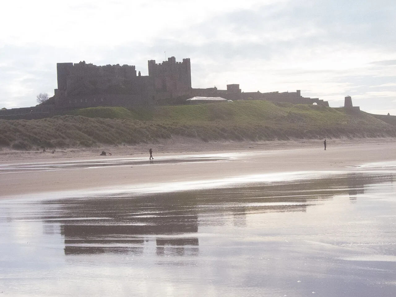
The Kitling Hill route is the longer half-day: 7.5 miles (12 km), rated fairly easy, starting at Redbarn Links. It follows Bamburgh Beach, threads the dunes, then takes the Greenhill track to the coast path junction before turning south through Fowberry. Field crossings and a bridleway bring you back toward the castle, with the best castle views saved for the last mile.
The return can be on the road, the beach or the dunes, so you can shorten it if the weather turns. Bracken grows high on the inland section in late summer, and the path through the golf course edge needs care. Carry water, because the inland stretch has no facilities between the village and the castle.
Longer day: Bamburgh to Craster and the coast path
The full day south is the 16-mile (25.7 km) Bamburgh to Craster route on St Oswald's Way, passing Seahouses, Beadnell, Low Newton-by-the-Sea, Embleton Bay and Dunstanburgh Castle. It is a serious walk on sand, grass and field paths, and the sands south of Beadnell are best crossed near low tide. The reward is the approach to Dunstanburgh's ruins and a finish in Craster.
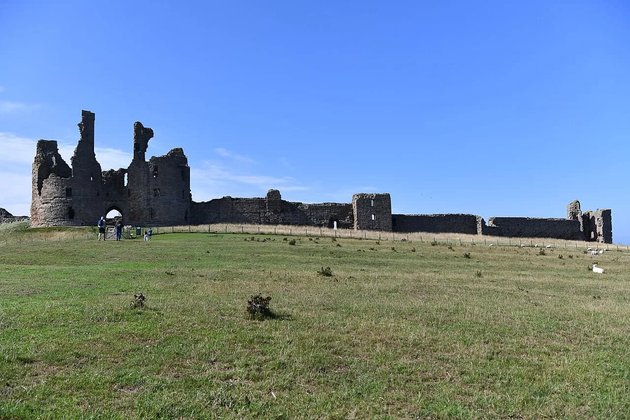
If you want the castle finish without the full distance, the Craster to Dunstanburgh Castle Walk covers the final section separately. The Northumberland Coast Path also passes through Bamburgh village on its 62-mile (100 km) run from Cresswell to Berwick-upon-Tweed, so you can join it for as many days as your schedule allows. Read the Northumberland Coast Path guide for the stage-by-stage breakdown.
A shorter alternative uses the bus from Bamburgh: walk the 10 miles (16 km) to Newton-by-the-Sea via Seahouses and Beadnell, or the 7 miles (11.3 km) to Belford via Budle Point and Spindlestone Mill, then ride back. Both are day walks from the village rather than separate bases. Holy Island is not a walking route from Bamburgh, so plan it as a separate trip with the tide tables.
Tides, wind and underfoot conditions
The beach sections between Bamburgh, Seahouses and Beadnell are tidal, so time the walk near low water and keep an eye on the incoming sea. Wind is constant on this coast and can turn a calm morning into a hard return leg; a windproof layer earns its place even in summer. On the bay side, the sand at Budle Bay is only an option when the tide is out, so the dunes are the fallback.
The section where the route leaves the road at Galliheugh Bank can be overgrown between May and September, so take the road to the Lonsdales Hill path instead if the vegetation is high. The golf course edge needs care in either direction, and the field crossings on the inland routes can be muddy. Trail shoes are enough for the short circuits, but the long day to Craster rewards proper boots.
When to go
Late spring and early summer give the longest days and the best chance of calm, bright evenings for the Budle Bay circuit; September is quieter on the beaches and still mild. Winter walks are possible on the short circuits, but daylight is limited and the wind is stronger, so plan the long day to Craster for the warmer months. Summer weekends bring the heaviest use of the village and castle car parks.
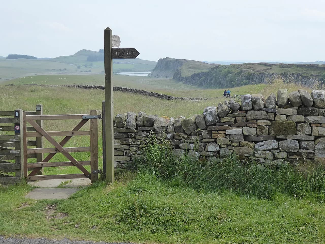
If you want to combine the coast with the county's inland history, the Hadrian's Wall Path guide shows what the central section offers for a second day. It sits well outside Bamburgh, so treat it as a separate outing. If you are weighing a longer northern trip instead, the Yorkshire Dales hiking guide is the comparable choice for a second walking region. Staying local keeps the trip simple: every route above starts within walking distance of the village.
Where to stay and eat in Bamburgh village
Bamburgh has bed and breakfasts, hotels, self-catering cottages and caravan sites, plus a handful of pubs and cafes in the village center. Staying in the village puts the beach, the castle and the Budle Bay circuit on your doorstep without needing a car each day. Book early for summer weekends and school holidays, when the village fills up.
Seahouses, 3 miles down the coast, has more food options and the bus back to Bamburgh, which makes it a practical base if you plan several beach days. Either base works for the routes here; choose Bamburgh for the castle views and Seahouses for the harbor and boat trips.
Getting there by car and bus
By car, Bamburgh is on the B1342 just off the A1, roughly 50 miles (80 km) north of Newcastle upon Tyne and 75 miles (120 km) south of Edinburgh. The village car parks and the Redbarn Links parking area serve the castle walks. Arrive early on fine days, when the roadside and castle parking fill.
By public transport, the nearest station is Berwick-upon-Tweed on the East Coast Main Line, about 20 miles (32 km) north, with local buses running down the coast to Bamburgh. Buses also connect Bamburgh with Alnwick and Newcastle, which makes a car-free day on the beach straightforward. For the longer day walks, the bus back from Seahouses, Newton-by-the-Sea or Craster saves a repeat of the route.
Plan Your Visit
Start with the Budle Bay circuit clockwise for the classic castle views and a low-commitment half-day, then add the dunes loop or the beach walk to Seahouses if you have more time. Save the 7.5-mile Kitling Hill route and the 16-mile day to Craster for fitter walkers with a full day and a settled forecast. Check the tide tables for any beach section and carry the OS Explorer 340 map.
For the wider county, including the national park and Hadrian's Wall, the Northumberland National Park section of the county guide gives the context. If your trip coincides with a long-distance route, St Cuthbert's Way finishes at the Holy Island of Lindisfarne and makes a natural companion to a Bamburgh stay.
Frequently Asked Questions
What are the best walks in Bamburgh?
The Budle Bay circuit is the best short walk at 3.43 miles with about 264 ft of ascent in 1.5 to 2 hours. The dunes loop is a shorter alternative, and the beach walk to Seahouses suits families who want a flat route with a bus back.
Can you walk around Bamburgh Castle without paying?
Yes. The public footpaths and beaches around the castle are open to walkers, and the Budle Bay circuit and dunes loop stay outside the castle grounds. Check the castle's own visitor information if you want to go inside.
Can you walk from Bamburgh to Holy Island?
Holy Island is across Budle Bay and is not a walking route from Bamburgh; it is visible from the bay but the crossing is by road and is governed by tides. Plan it as a separate trip using the published tide tables.
How long does it take to walk around Bamburgh Castle?
The Budle Bay circuit around the castle and bay takes 1.5 to 2 hours at an easy pace over 3.43 miles. The dunes loop takes under an hour, while the Kitling Hill circular is a longer half-day at 7.5 miles.
Can you walk from Bamburgh to Seahouses?
Yes. The beach route is about 3 miles one way and is flat and easy to follow. You can return on foot or take the bus back from Seahouses.
Sources
Trail notes for your next trip
Optional updates when we add or revise hiking guides.
You might also like
Continue reading
More guides you'll find useful