Hadrian's Wall Path: Complete Hiking Guide, Distances and Stages
Plan the Hadrian's Wall Path from Wallsend to Bowness-on-Solway: 135 km (84 miles) of walking, daily stages, the crags and the best months to go.
On this page
The Hadrian's Wall Path is a coast-to-coast National Trail across northern England, following the line of the Roman frontier for 135 km (84 miles) from Wallsend near Newcastle upon Tyne to Bowness-on-Solway on the Solway Firth. It suits hikers who want history underfoot rather than high summits: the walking is mostly on good paths and tracks, with the wildest scenery concentrated in the central section between Chollerford and Lanercost. You can walk the whole route in a week or so, or pick a shorter section and treat the wall, forts and crags as the day's objective.
What the Hadrian's Wall Path offers and who it suits
This is the easiest of the UK's National Trails, with well-maintained paths and few sustained climbs, and the total aggregate ascent over the full route is roughly 2,000 m (6,560 ft). The highest point is just 345 m (1,132 ft) above sea level, so the challenge comes from daily distance and changeable weather rather than altitude. If you can comfortably walk 14 to 18 km (9 to 11 miles) in a day and want Roman forts, turrets and milecastles as your waymarks, the trail fits you well.
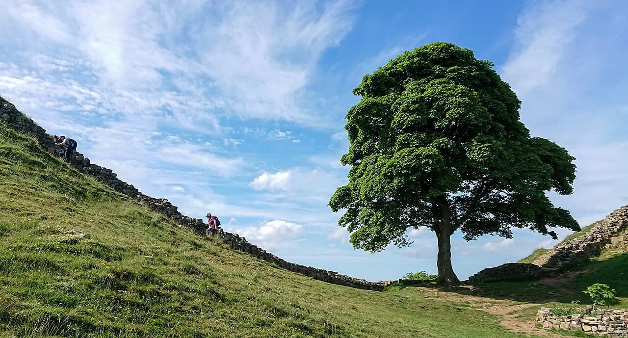
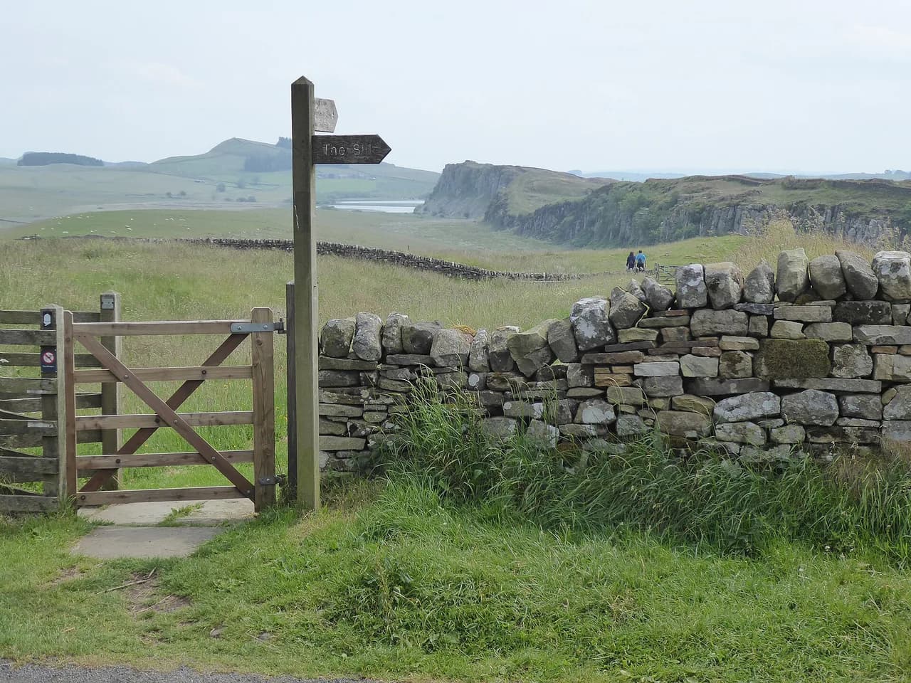
West of Chollerford the crags give the trail its character: a roller-coaster of short steep climbs and descents along the Whin Sill, with the wall running along the crest and Housesteads and Once Brewed as the key stops. The east and west ends are quieter, with riverside walking out of Newcastle and flat farmland and marsh along the Solway. History lovers should build in time for the forts; a steady hiker focused on completing the coast-to-coast route will find the central section the most rewarding part of the day.
For a wider picture of the county's hill and coast walking, the walks in Northumberland guide covers the Cheviots, the national park and the coast side by side, which helps if you want to combine the wall with other days out. The Hadrian's Wall Path itself stays low and historic rather than mountainous, so treat it as the archaeology-first option in a Northumberland itinerary.
Where the trail starts and ends
The eastern end is at Wallsend, in the suburbs of Newcastle upon Tyne, where the trail begins near the North Sea. The western end is Bowness-on-Solway, a quiet village on the Solway estuary, and the trail became the 15th National Trail in 2003. Walking the full route means crossing from one coast of northern England to the other, through Newcastle, the Northumberland crags and Carlisle on the way.
The trail passes through small villages and market towns as well as the cities of Newcastle and Carlisle, so you are never far from a shop, pub or bed for long. Most of the route runs through remote countryside, which is part of its appeal, but the urban stretches at either end are genuine trail, not transfers. Plan your finish at Bowness-on-Solway knowing that onward transport is limited and usually needs arranging in advance.
Getting to the start at Wallsend and back from Bowness-on-Solway
Most walkers favour starting in Newcastle because the city has the better transport connections to the start of the walk, with rail and bus links into the city and local services out to Wallsend. From Bowness-on-Solway at the western end, onward travel usually means a taxi or a pre-arranged lift to Carlisle or a nearby town before joining the rail network. Walking-holiday companies often build taxi transfers into itineraries because accommodation at the trail end points is limited, so factor that into your plan and arrange your onward lift in advance.
The self-guided format sold through the trail-holidays page of the National Trails site pairs walking sections with bookable accommodation and baggage movement, so you can start and finish at Points along the route rather than at the coast ends. Check your chosen company's transfer arrangements when you book, because the gap between Bowness and the nearest station is the one part of the logistics that catches people out.
Distance, ascent and walking time
The full route is 135 km (84 miles) with a total aggregate ascent of around 2,000 m (6,560 ft), spread over gentle terrain rather than concentrated in one climb. Typical completions take six to nine days, with daily distances of around 14 to 23 km (9 to 14 miles) depending on your pace and how long you spend at the forts. Guided and self-guided operators grade their itineraries from gentle four- to five-hour days to challenging five- to eight-hour days, so you can match the pace to your fitness.
A common seven- to eight-day split works out at roughly 17 to 19 km (10.5 to 12 miles) a day, which leaves time for a fort or two without turning every evening into a race. Short-break walkers often cover the central crags over three or four days, concentrating on the stretch between Chollerford and Lanercost where the wall is most visible. Whichever plan you choose, build in a rest day or a short final day: the Solway miles are flat but exposed, and they feel longer than the map suggests.
Walking east to west or west to east
East to west is the more natural direction: you leave a big city and walk into open country, the turrets and milecastles are numbered in that direction because the Romans built the wall that way, and the scenery improves as you go west. West to east reverses that logic and puts the busiest transport day at the start, in Bowness, where connections are thinner. Unless you have a specific reason to finish in Newcastle, plan your walk from Wallsend to Bowness-on-Solway.
Route description: Wallsend to Heddon-on-the-Wall
The opening stage leaves the North Sea at Wallsend and follows cycle lanes and footpaths through Newcastle, mostly beside railway tracks and the river, before joining a former wagonway track and minor roads to Newburn. It is the least wild section of the trail, but it sets up the contrast with what follows and gives you an easy first day to shake out your pack. From Newburn the route runs briefly beside the river before turning inland to Heddon-on-the-Wall.
The walking is flat and urban-to-suburban, with shops and cafes in Newcastle, so carry less food than you would on the crags. If you want to bank time for the central section, this is the stage to keep short rather than linger on.
Route description: Heddon-on-the-Wall to Chollerford
Beyond Heddon-on-the-Wall the trail follows the old Military Road, built on top of the wall, through open countryside on grassy paths. The route passes the old Roman Portgate near Corbridge and continues to Chollerford, where Chesters Roman Fort sits beside the river. This is a good day for anyone who wants a gentler introduction to the archaeology, with the wall line clear underfoot and the first substantial fort as the reward.
The stage is almost entirely open countryside, so weather matters more than on the urban opening day: wind and rain arrive without shelter from hedges or buildings. Corbridge, a short detour south, makes a useful base for a shorter break on this stretch.
Route description: Chollerford to Once Brewed over the Northumberland crags
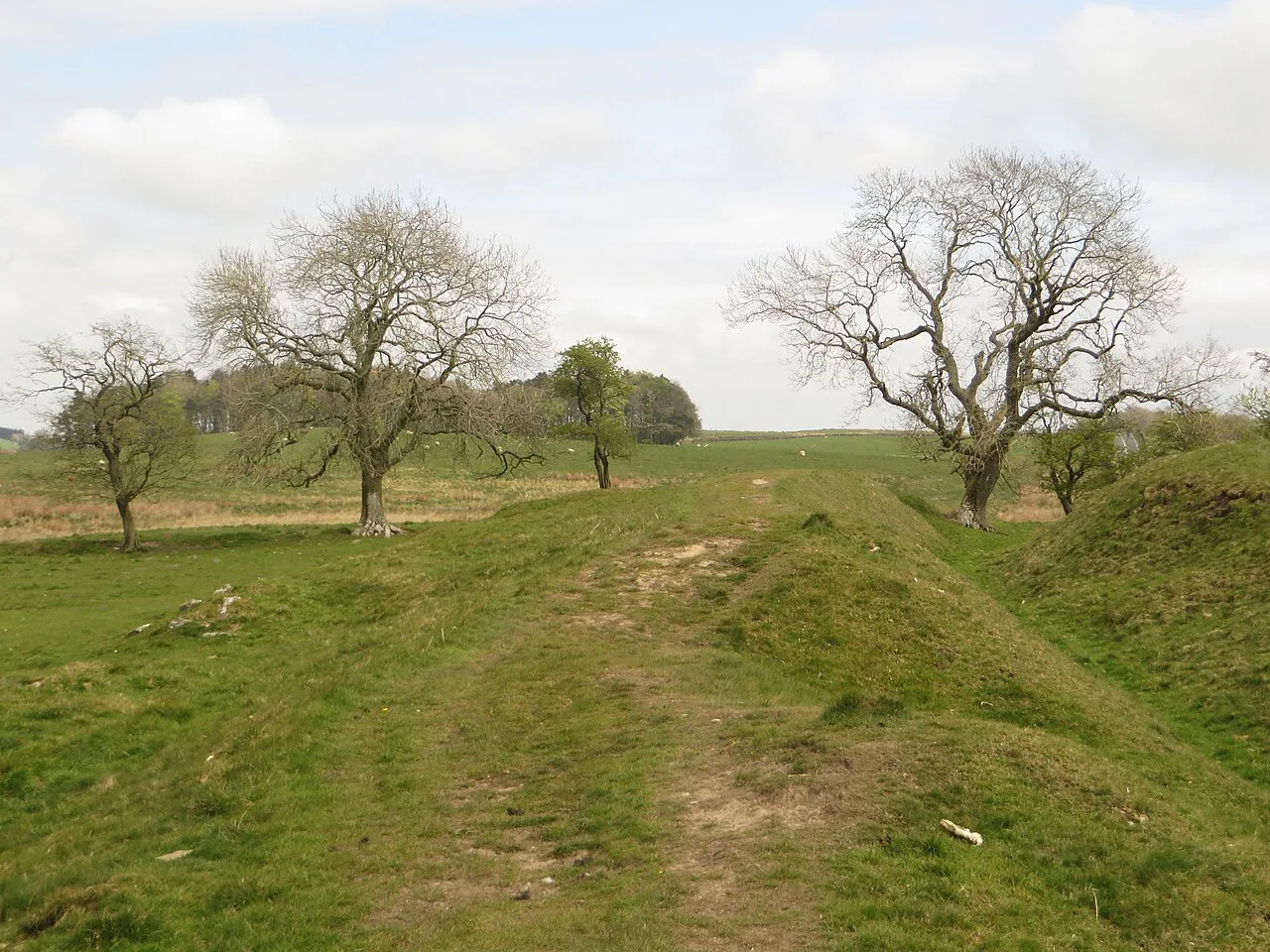
This is the section to prioritise if you have limited time: from Chollerford the trail climbs onto the crags and follows an undulating crest with repeated short, steep ascents and descents, a bit like walking along a coast path. The wall is at its most visible here, and Housesteads, Vindolanda, the Roman Army Museum and Birdoswald all sit within reach of the crags. Allow a full day between Chollerford and Once Brewed, and add a night at Once Brewed or Housesteads if you want to see more than one fort properly.
The highest ground on the whole trail is on these crags, though the crest barely reaches 345 m (1,132 ft), so exposure rather than altitude is the issue. Wind on the wall and afternoon showers are the usual companions; a shell layer and a spare hat earn their place here more than anywhere else.
Route description: Once Brewed to Lanercost
From Once Brewed the trail stays undulating along the crags, with several ascents and descents and the wall often in view, then crosses open countryside on grassy paths past Gilsland and on towards Lanercost. This is the stretch where you feel the change from high crags to border farmland, and it is often bundled with the previous day in shorter itineraries. Much of the walking is on grass with some mud after rain, so grip matters more than on the paved sections near Newcastle.
Lanercost provides the natural stopping point before the level run into Carlisle. West of the crags the scenery is gentler, and a hiker with tired legs will appreciate the drop in intensity.
Route description: Lanercost to Carlisle
The trail returns to level farmland on this leg, then runs alongside the River Eden through a park before reaching Carlisle, mostly on paths with some asphalt. It is a transitional day: the wall is behind you and the Solway is still ahead, so use it to restock, launder clothes and plan the final stretch. The riverbank walking is pleasant even in poor weather because it offers some shelter and an easy line to follow.
Route description: Carlisle to Bowness-on-Solway
The final day leaves Carlisle on a footpath beside the River Eden, then continues on tracks through flat farmland before a path runs alongside the marshes of the Solway Firth. There is no shelter on the estuarine stretch and the wind can dominate the day, so keep a warm layer handy even in summer. The approach to Bowness-on-Solway is quiet and satisfying, but arrival transport needs to have been planned before you set off.
Huts, hostels and accommodation along the route
There are no mountain huts on this trail; you sleep in B&Bs, guesthouses and pubs in towns and villages every night. That is what makes it approachable for first-time long-distance walkers, but it also means route planners recommend booking well ahead for the central section, where accommodation near Once Brewed and Housesteads is limited. Some itineraries use taxi transfers and multiple nights in the same place to work around the short supply.
The National Trails site lists bookable itineraries and links to operators, which is the simplest way to see how accommodation is bundled along the trail. Non-guided walkers can equally plan straight from the trail information and map pages there and book their own beds.
Baggage transfer and self-guided walking holidays
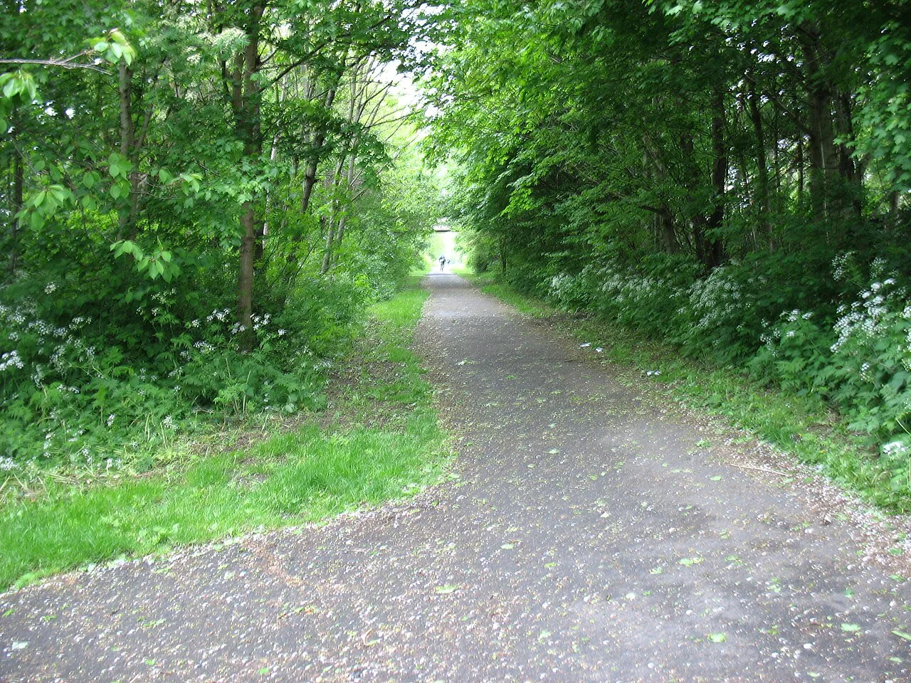
Self-guided operators move your bags ahead to the next night's accommodation and supply route notes and GPS tracks through an app, so you walk with a day pack. A typical trip bundles accommodation, luggage transfer and 24/7 support, while travel to the start and finish, meals, snacks and insurance are excluded. If you want a fully independent walk without carrying a full bag, this is the format to price against doing it yourself.
Different operators list their own short breaks and longer escapes, and the details of what each includes vary, so compare itineraries on the pages rather than relying on general descriptions. The trade-off is flexibility: self-guided tours leave daily distances and dates to you.
When to go: season and weather
Tours on the Hadrian's Wall Path run from late March to mid-October, which reflects when the weather and accommodation are most reliable rather than any official trail closure. Late spring and early autumn are the best compromise for hikers: fewer people on the crags, softer light for the wall and a decent chance of settled days. High summer brings the busiest beds along the central section and the highest likelihood of midges near the Solway marshes.
Wind is the recurring factor: the wall faces north and the crags are exposed, so even a fine day can feel cold at the crest. On the Solway the estuary open to the wind and tide is a poor place to linger, so check local tide tables if you plan to explore the shore beyond the path.
Day-section options for shorter trips
If you only have a few days, base yourself in Corbridge or near Once Brewed and walk the Chollerford to Lanercost crags, where the wall and the forts are densest. Three to five days is enough to see the core archaeology without the urban start or the flat Solway finish, and operating short break itineraries reflect that focus. For a shorter family-friendly option, the Heddon-on-the-Wall to Chollerford stretch is grassy and gentle.
Walkers interested in combining the wall with other walks in the county should look at the Northumberland National Park and the Cheviot fringe, both easily reached from the central section. For a contrasting coast-and-history day, St Cuthbert's Way ends at the Holy Island of Lindisfarne, and the Northumberland Coast Path offers a flatter seaside alternative. If you want to extend your trip further south, the Yorkshire Dales hiking guide sets out upland day walks by distance and level that pair well with a few days on the wall.
Practical rules, the Countryside Code and access
The full trail is a National Trail, which means it is waymarked and routed through farmland on maintained paths, but that does not mean access is unrestricted: follow the Countryside Code, close gates behind you and keep dogs on leads around livestock. Some sections cross fields where the line of the wall is soft underfoot, so walk on the path rather than along the earthworks to avoid erosion. There are no permits, entry fees or reservations required to walk the path itself.
For the forts, check opening and charging arrangements with the individual site operators before you build your day around them; the trail-holidays page is a good starting point for finding links. Many walkers treat Housesteads and Vindolanda as the priority two, then add Chesters and Birdoswald if time allows.
Mountain and coast hazards on the route
The main hazards are weather and footing rather than technical difficulty: the crags have repeated steep little climbs, and after rain the grassy sections turn slippery. On the Solway marshes the path can be muddy and the wind strong, so take the forecast seriously and turn back if conditions deteriorate. There is no scrambling and no significant exposure on the path, which is why it suits first-time long-distance walkers.
Summer afternoons on the crags can bring sudden showers, and the exposed crest offers no shelter, so start early on unsettled days and keep a waterproof handy. The flat finish alongside the Solway is exposed to wind and tide; stay on the marked path rather than cutting across the estuary edge.
Plan Your Walk
The Hadrian's Wall Path rewards a plan that matches your pace to the terrain: the urban start and flat finish are simple, while the crags between Chollerford and Lanercost deserve the best part of a day. Walk it east to west, book the central section's beds early, and leave room for at least one fort when the wall is under your feet. Once the logistics are set, the trail's appeal is how much history you can meet in a single week of easy walking.
Frequently Asked Questions
How long is the Hadrian's Wall Path?
The trail runs 135 km (84 miles) from Wallsend in Newcastle upon Tyne to Bowness-on-Solway on the Solway estuary. It is one of the shorter National Trails and is graded as the easiest of them, with a total ascent of around 2,000 m (6,560 ft) over the full route.
How many days does it take to walk the full route?
Most walkers take six to nine days, covering roughly 14 to 23 km (9 to 14 miles) a day depending on pace and how long they spend at the forts. Shorter itineraries of three to five days concentrate on the central crags between Chollerford and Lanercost, where the wall is most visible.
Which direction should I walk?
East to west, from Wallsend to Bowness-on-Solway, is the preferred direction. It starts you in a city with better transport connections, follows the numbering of the turrets and milecastles, and improves in scenery as you go west.
What is the hardest section of the trail?
The crags between Chollerford and Birdoswald are the most physically demanding part, with repeated short, steep climbs and descents along the Whin Sill. It is also the most scenic and archaeologically rich section, so most walkers plan a full day there.
Can I walk Hadrian's Wall in three days?
Three days is enough for a section rather than the whole coast-to-coast route. Based near Once Brewed or Corbridge, you can walk the Chollerford to Lanercost stretch and see Housesteads, Vindolanda, the Roman Army Museum and Birdoswald.
Where does the trail start and finish?
It starts at Wallsend in Newcastle upon Tyne, on the North Sea side, and finishes at Bowness-on-Solway on the Solway Firth. Both ends have limited onward transport from the trail itself, and taxi transfers are often arranged in advance from Bowness.
When is the best time of year to walk the Hadrian's Wall Path?
Late spring and early autumn give the best balance of settled weather, quieter paths and good light on the wall. Self-guided operators run tours from late March to mid-October, which reflects when the trail is most practical.
Are there Roman forts along the route?
Yes. Chesters, Housesteads, Vindolanda, the Roman Army Museum and Birdoswald all lie within reach of the central section. Allow extra time at Once Brewed or Housesteads if you want to visit more than one.
Sources
Trail notes for your next trip
Optional updates when we add or revise hiking guides.
You might also like
Continue reading
More guides you'll find useful