St Cuthbert's Way: Stages, Distance and Walking Plan
Plan St Cuthbert's Way, the 100 km (62 mi) trail from Melrose to Holy Island, with stages, daily distances, terrain and the best months to walk.
On this page
St Cuthbert's Way links Melrose in the Scottish Borders with Holy Island off the Northumberland coast, a 100 km (62 mi) cross-border route that mixes abbey ruins and Tweed valley farmland with open Cheviot moorland and a tidal causeway finish. It suits walkers who want variety and history rather than high mountain days: the official route description pitches it as completable in four to six days without heavy training. If you are weighing it against other long-distance routes in the region, our walks in northumberland guide sets out the alternatives.
What St Cuthbert's Way offers and who it suits
The route follows the life of St Cuthbert from the Borders abbey where he began his religious life to the island where he was buried. Along the way it passes Melrose and Dryburgh abbeys, the Eildon Hills, the Roman road of Dere Street, Iron Age hillforts and the Cheviot hills before reaching the coast.
This is a walking route rather than a mountaineering one. The highest ground is Wideopen Hill in the Cheviots, and the biggest single climb comes on the moorland day between Kirk Yetholm and Wooler rather than in the farmland stages at either end. Walkers who are comfortable with a week of half-day to full-day distances of roughly 15 to 25 km (9 to 16 miles) will find it manageable; the tidal finish, not the terrain, is the part that needs planning.
Where the trail starts and finishes
Melrose is the start, a small Borders town with the ruined abbey at its edge and the Eildon Hills rising immediately south. The trail ends at Holy Island of Lindisfarne, reached either by the road causeway or by the ancient Pilgrim's Way across Beal Sands. The two crossings converge on the same island and the same sense of arrival, but the sands route is the traditional walker's finish.
Because the route crosses the border, you walk through two countries in a week. The Scottish half is gentler and more wooded; the English half opens into Cheviot moorland and ends on a flat coastal edge. That shape is worth remembering when you split the days, since the middle of the walk is the part that will tire you most. If the Borders stages leave you wanting more Scottish ground, hiking in Scotland covers longer options north of the border.
Getting to Melrose and home from Holy Island
Melrose is reachable by rail or bus from Glasgow, Edinburgh or Newcastle, which makes a one-way walk practical: travel to the start, walk east, and leave from the coast. The official site lists visitor information centres and local services along the route if you need to plan a specific connection.
At the finish, plan your departure around the tide rather than the other way round. The causeway to Holy Island is exposed only at low water, so any bus, taxi or lift you arrange for the final morning has to fit the window when the crossing is open. A night on the island removes that pressure and lets you walk the sands without watching the clock.
Distance, terrain and difficulty
The full route is 100 km (62 mi). Terrain is farmland, woodland, riverside path, old Roman road, moorland and finally coast, with no sustained scrambling and no exposure beyond open hillside. Waymarking follows the usual long-distance trail standard, and the route is one of Scotland's Great Trails.
Tour operators grade the trail as easy to moderate walking. One operator's published daily ranges run from about 14 to 16 km (9 to 10 miles) on its gentle schedule up to 22 to 28 km (14 to 18 miles) on its challenging one. Those are commercial itinerary ranges, not trail rules, but they give a fair sense of how the days can be shaped.
The main physical demand is the Cheviot crossing, where you gain height onto open moor and lose it again into Wooler. Farmland stages before and after are flatter, but they are long, and muddy fields after rain can slow you more than the hills do. Boots with grip and a change of socks matter more here than lightweight racing shoes.
The stages: Melrose to Harestanes
Leaving Melrose, the route passes the abbey and climbs into the Eildon Hills for the first wide view over the Tweed valley. It then drops to the river and follows it past Dryburgh, where the ruined abbey sits in a bend of the water, before turning east through farmland and woodland near Harestanes.
This first section is the most history-dense part of the walk and rewards an early start or a short day. St Boswells and Maxton are the usual overnight stops for walkers splitting the valley, and Jedburgh, a little off the direct line, gives access to another abbey and a larger town. Treat the Eildon climb as a warm-up rather than a training test: it is short, and the views back over Melrose are the reward.
The stages: Harestanes to Kirk Yetholm
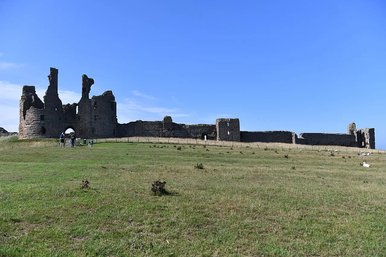
From Harestanes the route follows the line of Dere Street, the Roman road, through fields and past monuments, crosses the River Teviot on a rope bridge and passes the ruins of Cessford Castle. It continues by Morebattle and then climbs Wideopen Hill, the highest point of the whole trail, where the panorama takes in the Cheviots ahead and the Borders behind.
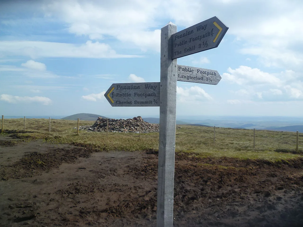
Kirk Yetholm is the natural overnight before the border crossing, a village at the foot of the Cheviots that is also the northern end of the Pennine Way. Arriving with time to spare lets you eat properly and start the moorland day fresh. There is little shelter on the high ground beyond, so leave with water and food for the full crossing.
The stages: Kirk Yetholm to Wooler
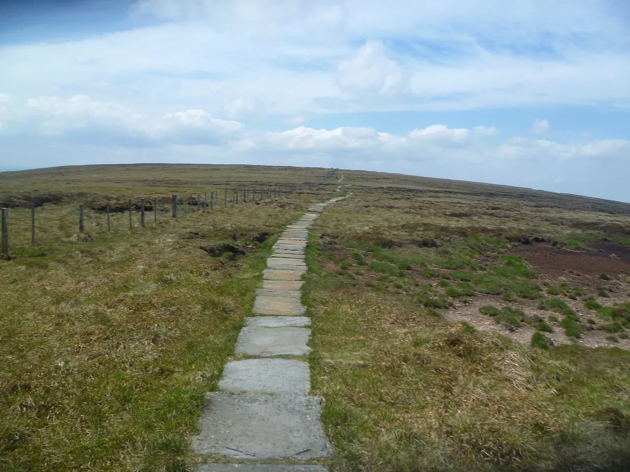
This is the big day. The route climbs out of Kirk Yetholm onto moorland around 250 m (820 ft), follows the border hills and crosses into England on the Cheviots before descending to Wooler. It is the longest sustained high ground on the trail, and the moderate itinerary gives it as roughly 22 km (14 miles). Check current route details with the St Cuthbert's Way team or the relevant countryside access office before setting out.
Weather decides how hard this section feels. The moor is exposed to wind and rain, cloud can sit on the tops while the valleys are clear, and the ground stays wet long after a dry spell. Carry a waterproof shell and a map or offline navigation even if you usually rely on waymarks, and turn back or reroute if the cloud closes in rather than pressing on to keep a schedule.
Wooler is a proper market town with shops, places to eat and a range of beds, which makes it the right place to reset. The Cheviot hills here sit inside Northumberland National Park, and the park authority is one of the bodies listed alongside the route for countryside access queries.
The stages: Wooler to Fenwick and the coast
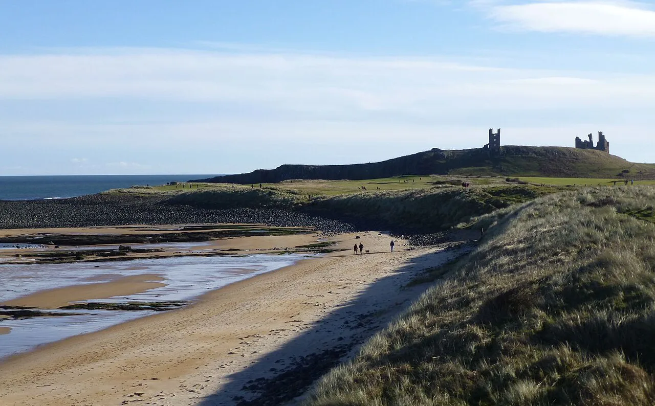
Leaving Wooler, the route crosses the Weetwood Moors and follows another stretch of Roman road toward the Kyloe Hills. Near there it passes St Cuthbert's Cave, where the saint's body is said to have rested on its long journey, and soon after the first distant view of Holy Island appears. Fenwick and the hamlet of Beal are the usual last-night stops.
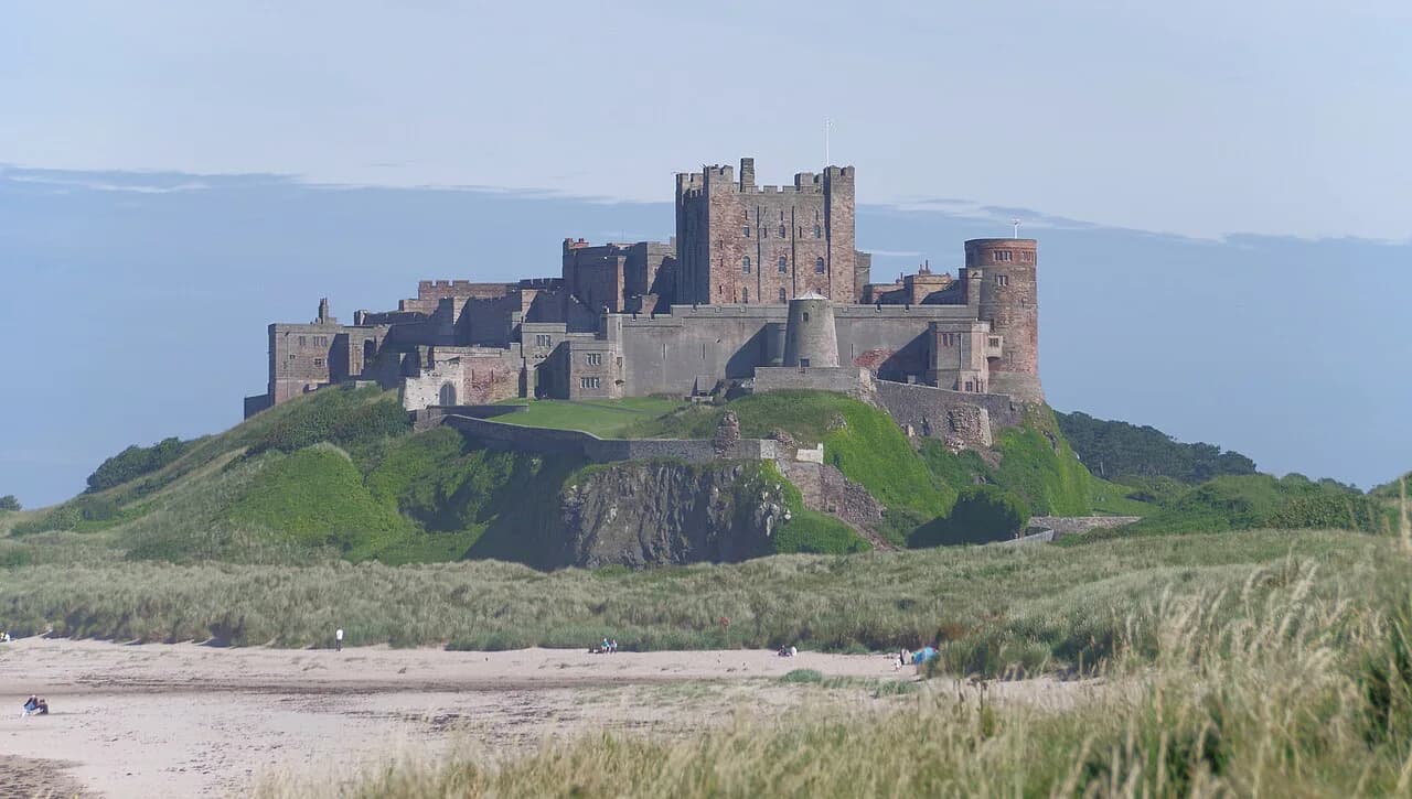
This day is flatter than the Cheviot crossing but still long, and the final approach to the coast is through fields and meadows rather than along the shore. If you have a spare afternoon, the coast north of the finish has castle and dune walking at Bamburgh, an easy add-on by car or bus outside the trail itself.
Crossing to Holy Island on the causeway
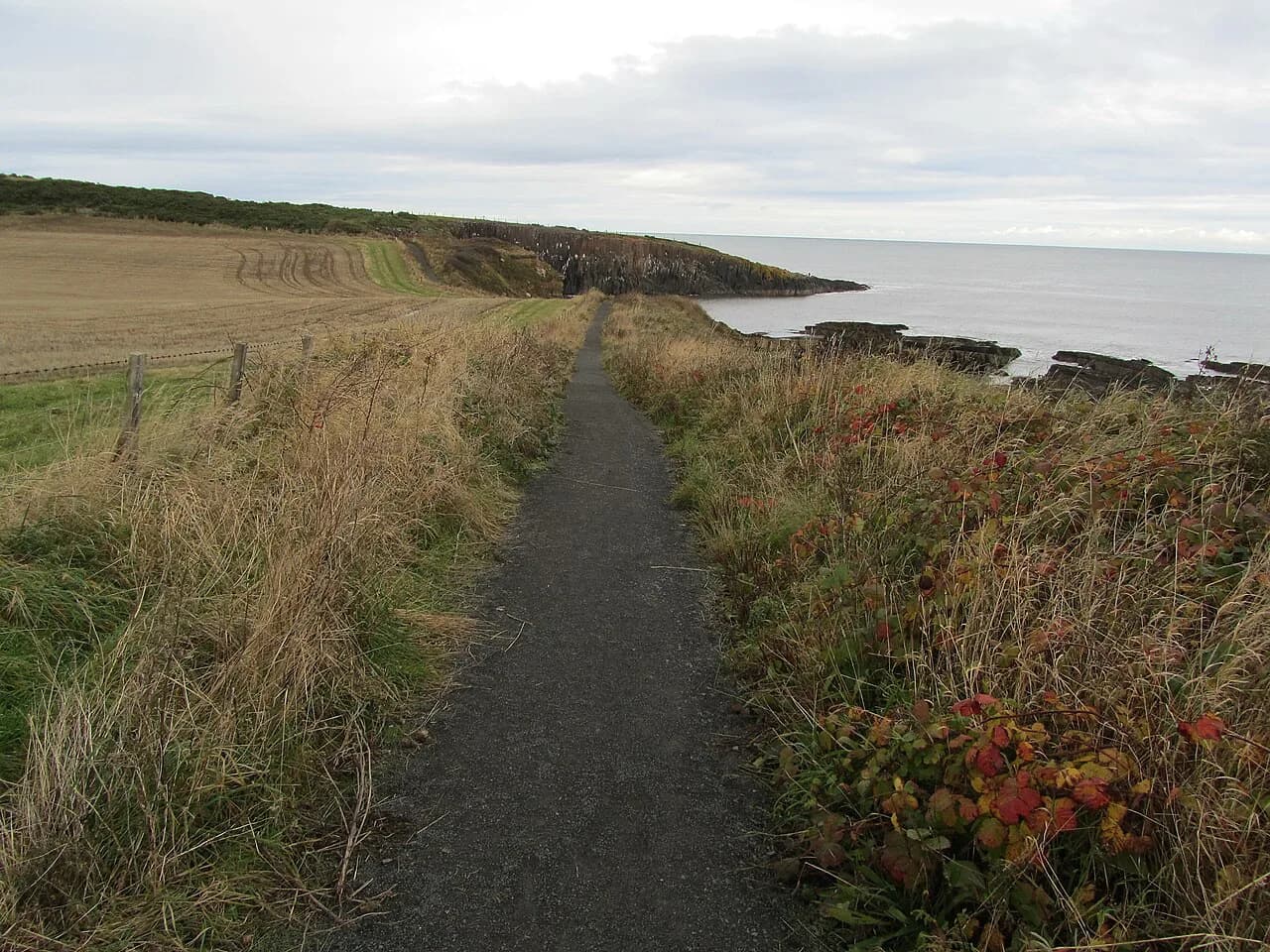
The last stretch leads to the coast, where a causeway connects the mainland to Holy Island. Walkers can use the road or take the Pilgrim's Way across Beal Sands, the traditional route that marks the end of the walk. Both are passable only when the tide is out, so the final morning has to be built around low water.
The sands are flat and seemingly simple, but they are tidal ground: channels shift, mist can hide the island, and the water returns faster than walkers expect. Go with the marked route, start on a falling tide with time in hand, and do not attempt the crossing in poor visibility. The road causeway is the fallback when conditions on the sands are doubtful, and it is also tide-covered.
Once across, the island holds the priory, the castle and a coastal nature reserve, plus cafes and pubs for the end-of-walk meal. The Northumberland coast around here is a landscape worth a rest day, and the Northumberland Coast Path follows it south for those who want to keep walking.
How many days you need: 4, 6 or 8-day plans
Six days is the usual shape: two days through the Tweed valley, one over Wideopen Hill to Kirk Yetholm, one across the Cheviots to Wooler, one to the coast and one for the tidal finish. Seven or eight days splits the valley and the coastal approach further and suits walkers who want afternoons free, while an operator's longer schedules stretch the full route to nine days.
Whatever the total, keep the Kirk Yetholm to Wooler day as a single stage and give the final crossing its own short day. That produces a plan where the two hardest logistical days, the moor and the tide, are not squeezed against a long transfer. A rest day at Wooler or on the island is easily absorbed in a week.
When to go: season and weather
Late spring and early summer are the sweet spot, with the best weather usually from May to July, long days and dry ground on the Cheviot moor. Typical temperatures run around 17°C (63°F) in summer, 9 to 14°C (48 to 57°F) in spring and 12 to 14°C (54 to 57°F) in autumn. The trade-off is that these months draw the most walkers and fill the limited beds along the route.
Winter is a different proposition: temperatures of 2 to 6°C (36 to 43°F), snow possible on the Cheviots and much accommodation closed. The trail remains a marked route, but short daylight and wintry conditions on the moor make it a poor choice for a first long-distance walk. Spring and autumn give quieter paths and softer light; just expect changeable weather in any month and pack for rain.
Accommodation and baggage transfer
Beds along the route range from village inns and guesthouses to self-catering, concentrated in Melrose, St Boswells, Jedburgh, Kirk Yetholm, Wooler and the Beal area. The official site carries listings for accommodation, food and drink, and visitor information, and it also lists baggage transfer services that move your bag between overnight stops.
Book the Cheviot night and the island night first, since those are the two places where a shortage of beds forces your itinerary. Baggage transfer is worth it if you want to walk the moor day light; carrying your own kit is entirely feasible for a fit walker over six days. Rates and transfer distances vary by provider, so ask each operator directly when you book.
What to carry and where the route is exposed
Standard long-distance kit covers this route: waterproof jacket and trousers, warm mid-layer, boots with grip, water bottles, a map or offline navigation app and a small first-aid kit. The Cheviot crossing is the exposed part, open to wind and rain with limited shelter, so a shell and spare warm layer belong in the pack even on a sunny morning.
The tidal finish is the other hazard, and it is a timing problem rather than a terrain one. Tides, channels and weather can close the sands crossing, so the safe approach is to walk it on a falling tide, carry the tide information you need, and use the road causeway if conditions look wrong. Elsewhere the trail is low-level, with mud and field paths the main annoyances rather than exposure.
Short sections worth walking if you have one day
With a single day, the Melrose to Dryburgh stretch gives the best concentration of interest: the Eildon Hills view, the Tweed and the abbey ruins, all within a short day's walk of a town with rail and bus links. The final approach to Holy Island is the other standout, a half-day of fields and coast ending with the sands crossing at low water.
Both options need a return plan: a bus or lift back from Dryburgh, and a tide-timed departure from the coast. If you enjoy ridge walking more than valley paths, the Simonside Hills above Rothbury offer a contrasting day in the same national park.
Plan Your Visit
St Cuthbert's Way works because it asks for steady walking rather than technical skill: six days of valley, moor and coast, with the tidal crossing as the one fixed appointment. Choose your season for dry ground and long daylight, book Kirk Yetholm and Holy Island first, and keep the Cheviot day whole.
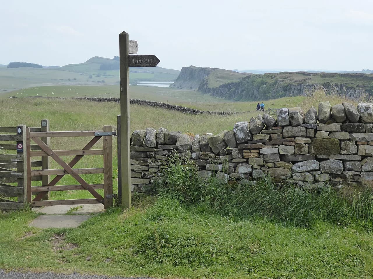
If you want a tougher wall-and-fort route in the same region, the Hadrian's Wall Path covers a very different kind of Northumberland walking with its own logistics.
Frequently Asked Questions
How difficult is St Cuthbert's Way?
It is easy to moderate long-distance walking with no scrambling and no high mountain terrain. The hardest day is the Cheviot crossing from Kirk Yetholm to Wooler, which is open moorland and exposes you to wind and rain, and the final tidal crossing needs timing rather than fitness.
How long does it take to walk St Cuthbert's Way?
The full 100 km (62 mi) is usually walked in four to six days, and the official route description suggests that range suits most walkers without specific training. A more relaxed plan of seven or eight days allows time at the abbeys and a spare afternoon on Holy Island.
Can I walk St Cuthbert's Way in 4 days?
Yes, if you are comfortable with days of around 25 km (15 miles) and don't want long sightseeing stops. The Cheviot stage should stay as one whole day, and the coastal finish still needs a low-tide window, so build your bookings around those two constraints.
What are the stages of St Cuthbert's Way?
The route is described in four sections: Melrose to Harestanes through the Tweed valley, Harestanes to Kirk Yetholm over Wideopen Hill, Kirk Yetholm to Wooler across the Cheviots, and Wooler to Fenwick and the coast. A final short day crosses to Holy Island at low tide.
When is the best time to walk St Cuthbert's Way?
May to July usually brings the best weather, with long days and drier ground on the moor, though it is also the busiest period. Spring and autumn are quieter with milder temperatures, while winter brings snow on the Cheviots and many closed accommodations.
Do I need to time the tide to reach Holy Island?
Yes. Both the sand route of the Pilgrim's Way and the road causeway are covered at high water and passable only when the tide is out. Plan the last day around low water and use the road causeway if conditions on the sands look doubtful.
Sources
Trail notes for your next trip
Optional updates when we add or revise hiking guides.
You might also like
Continue reading
More guides you'll find useful