Simonside Walk: The Ridge Route to Simonside Crags
The Simonside walk climbs through Forestry England woodland to Simonside Crags on a waymarked four-mile ridge route with a 360-degree Northumberland panorama.
On this page
The Simonside walk gives you a pine-and-larch forest start, a red-marked climb to the top of Simonside Crags and a 360-degree panorama over Northumberland at the finish. It suits hikers who want a half-day hill outing with a clear waymark from the car park and a summit that feels earned without a full mountain day.
Two marked options share the same trailhead, so the walk works for a family hour in the trees or a steady ridge climb. The material below separates the four-mile ridge route from the one-mile loop and from the longer circular so you can pick by fitness, time and appetite for open ground.
What the Simonside walk offers and who it suits
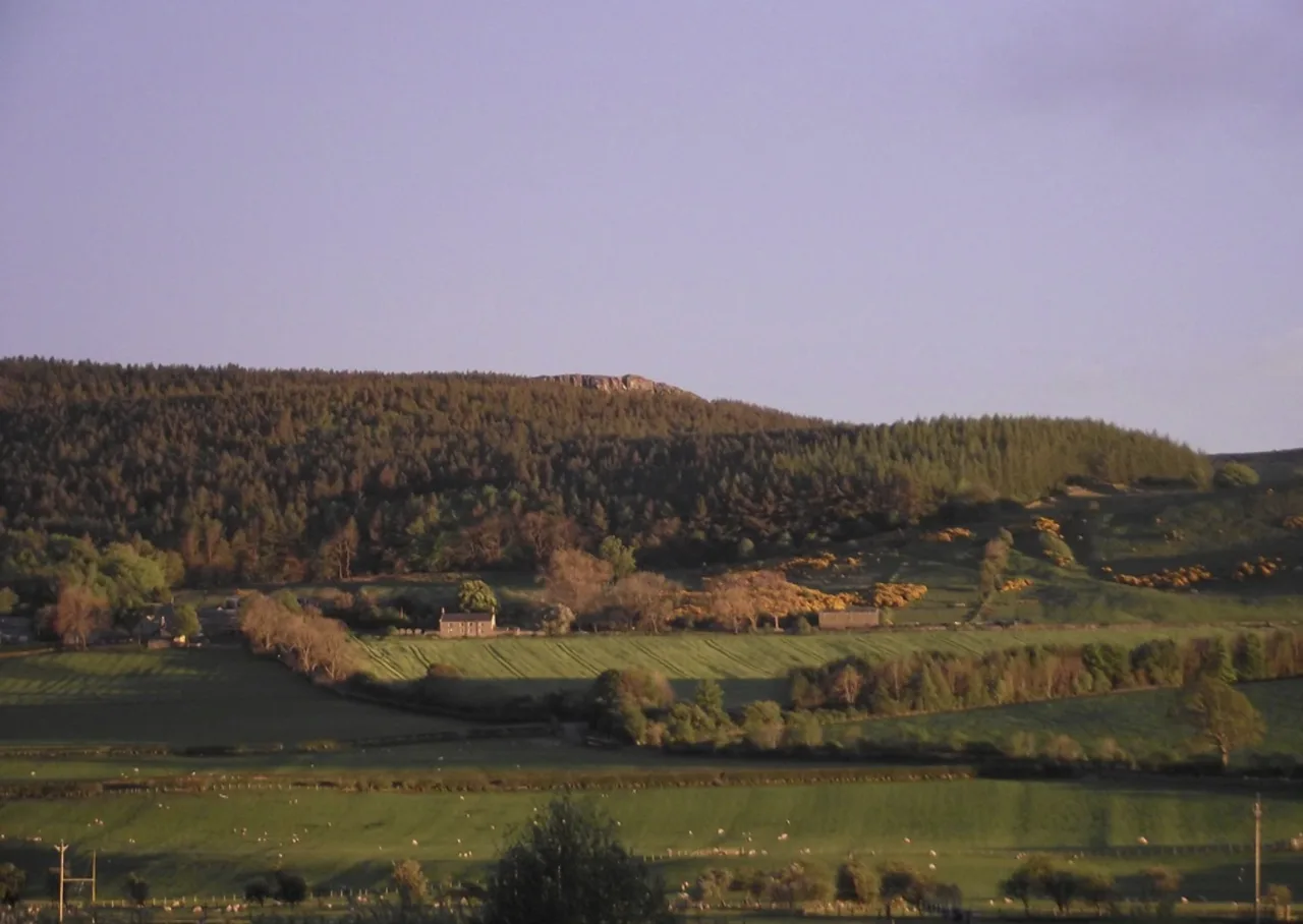
Forestry England marks two waymarked walks in the forest, and the Ridge Walk leads through the trees to the top of Simonside Crags for a wide panorama of Northumberland. The lower stands of pine and larch give shelter at the start, while the crag top opens the view in every direction.
The Northumberland National Park route page describes a circular walk up to the summit of Simonside that includes some short, steep gradients. That phrase is the practical signal: the climb is not long, but it is not a flat forest stroll either, so a basic level of hill fitness and grippy footwear make the day more comfortable.
This is a good first hill for walkers stepping up from valley paths, and a satisfying short day for experienced hikers who want a view without a long approach. The trailhead is the same for every option, so families can take the short loop while stronger walkers head for the crags and regroup at the car park.
Where the walk starts: Simonside car park and forest trails
The walks begin at the Simonside car park, which Forestry England names as the backdrop for the short loop through the pines and larches. Arrive there and look for the waymark color before setting off, because the green and red routes diverge into different days out.
The green markers belong to the one-mile loop, and the red markers belong to the four-mile Simonside Ridge Walk, so the color is the single most useful thing to note at the start. If you plan the longer circular rather than the marked ridge route, the map and GPX for that version come from a separate route source, not from the Forestry England signboard.
No parking charge or opening time is given for the car park in the trail information, so plan on arriving with the car park as your fixed start point and settle any fees or barrier details on the ground. For a broader choice of routes in the region, the walks in northumberland guide covers other trailheads and seasons.
The Simonside Ridge Walk: distance, ascent and walking time
The Simonside Ridge Walk is four miles (about 6.4 km) on red markers, leading through the forest to the top of Simonside Crags. Treat that as a half-day outing once you add the summit time and the walk back through the trees.
No ascent figure or official walking time is published for the red-marked ridge route, so pace it by the short, steep gradients on the national park's description of the summit climb. A steady three to four hours on foot fits most groups, with more time on top for the panorama.
The longer Simonside Hills circular is listed as a 5.8-mile (about 9.3 km) loop near Rothbury with an average time of 2 h 39 min. That figure is for a route that extends beyond the marked ridge walk, so use it as a benchmark for the fuller circuit rather than for the Forestry England red route.
Route description: forest tracks to the top of Simonside Crags
The red route starts in the forest among the pine and larch stands that shelter the car park, then climbs on forest tracks toward the open top of Simonside Crags. The waymarks are your guide through the trees; where the route leaves the canopy, the ground opens up and the gradient takes over.
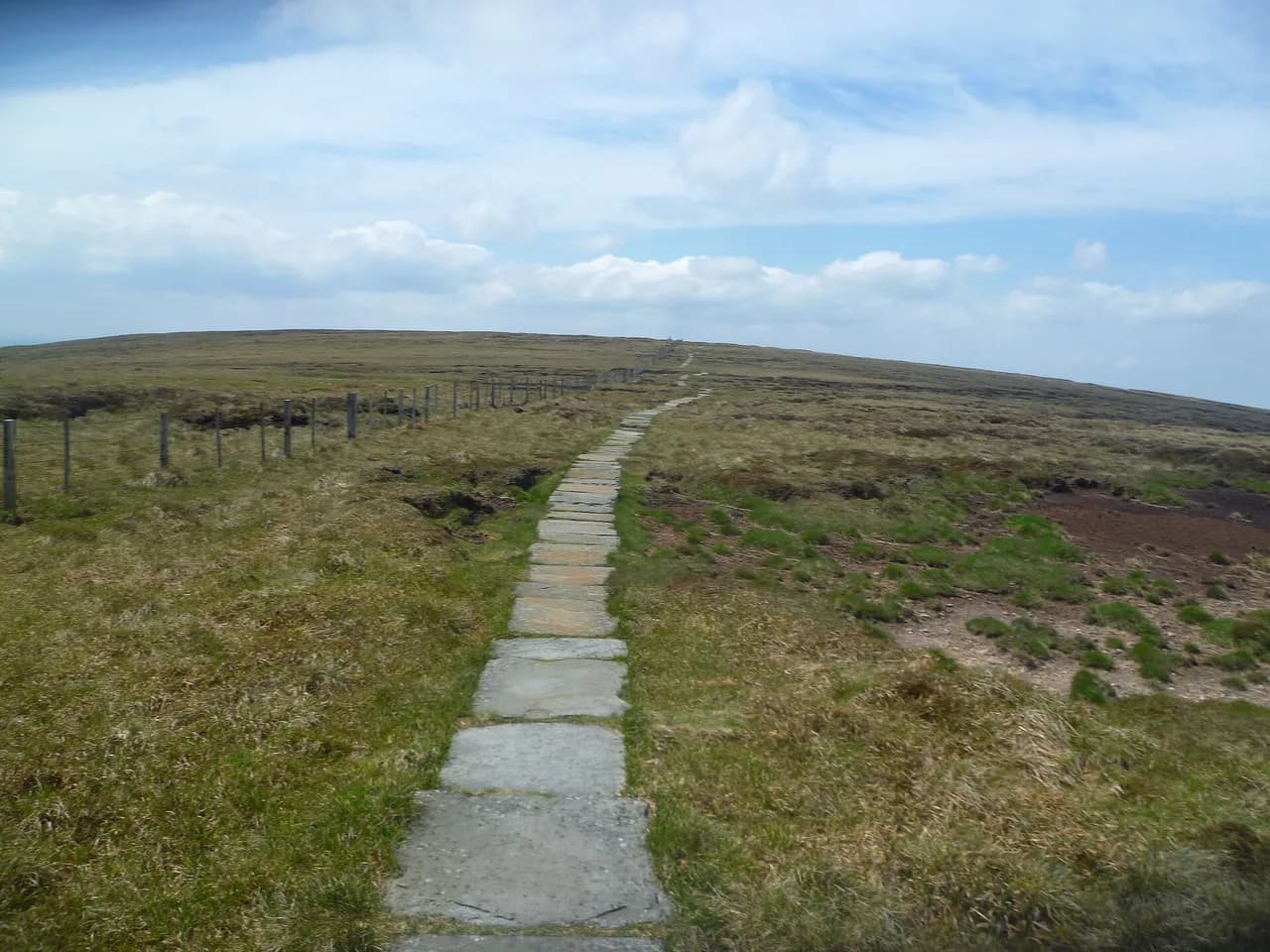
The national park describes the walk as a circular with short, steep gradients, which matches the change from woodland to crag top. Take the steep sections steadily and leave the exposed ground above the trees for the reward, since the 360-degree panorama of Northumberland opens from the top of the crags.
Once above the tree line, the route follows the crag edge before returning through the forest to the car park. Keep the waymark color in view on the descent, because forest junctions look different from the direction you climbed.
The short forest loop for families and short visits
The shortest waymarked walk is a one-mile (about 1.6 km) loop on green markers through the stands of pine and larch beside the car park. It is the right choice for young children, a quick leg stretch or a low-commitment day when the cloud is down on the crags.
Because the loop stays in the forest, it keeps you under cover when the weather is changeable. Follow the green markers rather than the red ones, and you can still enjoy the woodland without committing to the climb.
The summit panorama and the sandstone crags
The top of Simonside Crags gives a spectacular 360-degree panorama of Northumberland, which is the main reason to climb the red route rather than stay in the trees. On a clear day, plan to spend time at the top instead of turning straight around, since the wide view is the point of the walk.
The crag top gives you a perspective over the surrounding country that is hard to match from the valley, and the open ground makes the scale of the Northumberland landscape clear. If you later want a contrast, the Hadrian's Wall Path puts you at a very different historic edge of the same county.
Exposure, weather and footing on the ridge
The open ground above the trees is exposed, so wind and rain hit harder there than at the car park, and the short, steep gradients become more demanding when the rock is wet. Carry a windproof layer and check the forecast before committing to the crag top.
The climb is short enough that you can turn back at the point where the trees end if the weather closes in. For a summit day, aim to be off the open crags before afternoon cloud builds, and treat the red-marked route as a hill walk rather than a forest stroll.
When to go: seasons and daylight
The forest loop and the ridge route are both marked year-round, so the walking season is governed by daylight and weather rather than a closure date. In winter, the short daylight window makes the four-mile ridge route an early start, and the short loop is a safer option when the crag top is in cloud.
Spring and autumn often give the best mix of solid footing and clear views from the crags. Midsummer brings the longest evenings for a late finish, while any season can bring rain or wind on the open top.
The longer Simonside Hills circular for fitter hikers
If the four-mile red route feels short, the Simonside Hills circular extends the day to a 5.8-mile (about 9.3 km) loop near Rothbury and is rated moderately challenging. The average listed time of 2 h 39 min is a useful planning benchmark for a steady pace without long stops.
The circular covers more ground than the waymarked ridge walk, so it rewards fitter hikers who want a longer day on the crags. Download the route before leaving the car park, as the red and green waymarks apply to the shorter forest walks rather than this extended loop.
What to wear and carry on the ridge
The climb from the shelter of the trees to the open crag top is the key change in condition, so carry a windproof and waterproof shell on every attempt. Grippy footwear matters on the short, steep gradients, especially after rain.
No water or food point is named on the marked route, so carry what you need for the four miles and the summit stop. A map and compass or a charged phone with the route downloaded will keep you on the red markers through the forest junctions.
Getting to Simonside without a car
The trail information gives no bus or rail connection to the Simonside car park. Plan your journey by checking current local bus and rail services to the Rothbury area before relying on public transport for the trailhead.
If you are building a longer Northumberland trip, the St Cuthbert's Way offers a contrasting long-distance route that ends near the Holy Island of Lindisfarne coast. It is outside the Simonside Hills but useful if you want to link inland hill days with a coastal walk.
Where to stay and walk from in the Simonside Hills area
Rothbury is the nearest town named in the route information and a sensible base for the Simonside Hills, giving you a short drive to the car park and a choice of accommodation. Staying there also lets you pair the ridge route with other days out in the area. If you want to compare how another region handles its base-town options, the Yorkshire Dales hiking guide covers hikes there by distance and level.
For a different character of walking, the Northumberland Coast Path follows the coast and its Pilgrim's Way variant through the Northumberland Coast National Landscape. Use it when you want sea views and easy gradients between hill days rather than another crag.
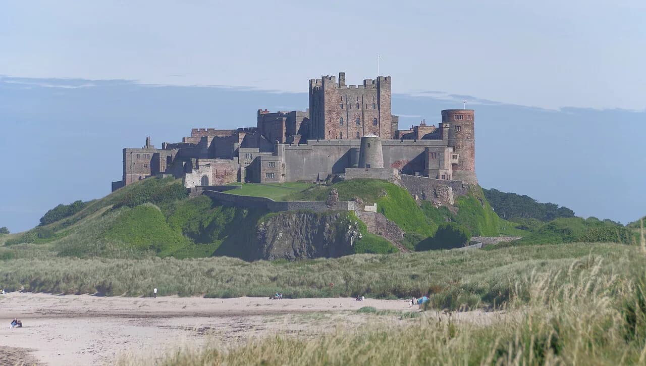
A gentler coastal day can start from the bamburgh walk, which takes in Bamburgh Castle and the dunes around Budle Bay. It is a good rest-day option if your legs want a break from the crag gradients.
Plan Your Visit
Choose the red-marked four-mile (6.4 km) Simonside Ridge Walk if you want the crag-top panorama, or the green-marked one-mile (1.6 km) loop if you want a sheltered forest outing. Fitter hikers can extend to the 5.8-mile circular and use the 2 h 39 min benchmark as a planning guide.
Set off from the Simonside car park, carry a windproof layer for the exposed top and treat the short, steep gradients steadily. Before you travel, confirm current trailhead and route details with Forestry England or Northumberland National Park.
Frequently Asked Questions
How long is the Simonside walk?
The waymarked Simonside Ridge Walk is four miles, or about 6.4 km, on red markers from the Simonside car park to the top of Simonside Crags. The short green-marked forest loop is one mile, about 1.6 km.
Is the Simonside walk hard?
The national park describes the summit walk as having short, steep gradients, so it is a moderate hill day rather than a flat forest walk. The one-mile forest loop is the easier option for families and short visits.
Where can I park for the Simonside Hills walk?
The walks start from the Simonside car park, which Forestry England names as the trailhead for the forest walks. No parking charge is listed in the trail information, so settle any on-site details when you arrive.
What is the difference between the Simonside Ridge Walk and the Simonside Hills circular?
The Simonside Ridge Walk is the four-mile red-marked route from the Forestry England car park to the crags. The Simonside Hills circular is a longer 5.8-mile loop near Rothbury listed with an average time of 2 h 39 min.
What is there to see from the top of Simonside Crags?
The top of Simonside Crags gives a 360-degree panorama of Northumberland, which is the main reward of the red-marked ridge route.
Sources
Trail notes for your next trip
Optional updates when we add or revise hiking guides.
You might also like
Continue reading
More guides you'll find useful