Peak District Hiking Guide: Choosing Your Best Routes
Plan Peak District hiking across gritstone edges, the Great Ridge and Kinder Scout, with distances, trailheads and the best months for each area.
On this page
Peak District hiking rewards walkers who choose a route by character rather than by a list of summits. The park's northern Dark Peak gives you gritstone escarpments, exposed ridges and peat plateau, while the southern White Peak is softer country of limestone dales and wooded valleys. A short 2.5 km (1.6 mile) family circuit and a full moorland day can start from car parks barely 20 minutes apart.
This guide groups routes by the car park or village they start from, so a single day out does not mean driving between three trailheads. Distances come with the walk each one describes, and the trade-offs are stated plainly: Mam Tor and The Roaches fill their parking early on sunny weekends, while the moorland above Derwent Reservoir stays quiet even when the reservoir shore is busy.
Dark Peak and White Peak: Choosing Your Side of the Park
The Dark Peak covers the northern half of the park: Kinder Scout, Bleaklow, Black Hill and the Ladybower and Derwent reservoirs, all on Ordnance Survey's Dark Peak map. This is gritstone country, with edges that drop sharply on one side and gentle moorland on the other. The White Peak lies south around Buxton, Bakewell, Matlock and Dovedale, and is limestone country where rivers cut wooded dales between white-walled villages.
Choose the Dark Peak if you want edges, big reservoir views and open moorland, and accept boggy ground and blustery tops in return. Choose the White Peak if you want shorter valley walks, shelter from wind and a gentler day with pubs and villages close at hand, such as the limestone dales and villages covered in this roundup of Derbyshire walks. The southern edge walks, such as Thorpe Cloud above Dovedale, pack steep climbing into very short distances; the route climbs steeply and demands a short scramble onto the rocky summit.
How the Park Fits Together
Most Peak District hiking days are built around an escarpment or a reservoir, and the escarpments run in long lines that let you walk a ridge and return on a path below it. In the east, the sequence of Birchen Edge, Baslow Edge, Curbar Edge, Froggatt Edge and White Edge forms a near-continuous chain of gritstone above the Derwent valley. In the west, The Roaches and Ramshaw Rocks rise above the Staffordshire side near Leek. Between them sit the high moorland plateau and the Great Ridge, which links Mam Tor to Hollins Cross. If you like the sound of ridge-and-escarpment days, hiking in the Lake District offers a similar mix of long edges and valley returns. For a broader picture of long-distance trails, national parks and coast paths elsewhere, England hiking picks up the same thread.
The layout matters when you plan transport: a linear edge walk needs either two cars or a return path under the rocks, while circular routes almost always exist by dropping to a lower track. The sources describe several edges in exactly this pattern, with a top path along the escarpment and a return through the woodland or fields beneath. Pick the car park first, then decide whether you are walking an out-and-back or a loop.
Short Hikes Under 5 km: Birchen Edge, Baslow Edge and the White Peak Circuit
These are the half-day and evening routes, set out with distances in this selection of Peak District view walks. The Birchen Edge circuit is 2.6 km (1.6 miles) from the pay-and-display car park next to the Robin Hood Inn, climbing past Nelson's Monument to the edge top and returning along the footpath above the rocks. The final descent is steep and slippery when wet, so boots with grip matter more than distance here.
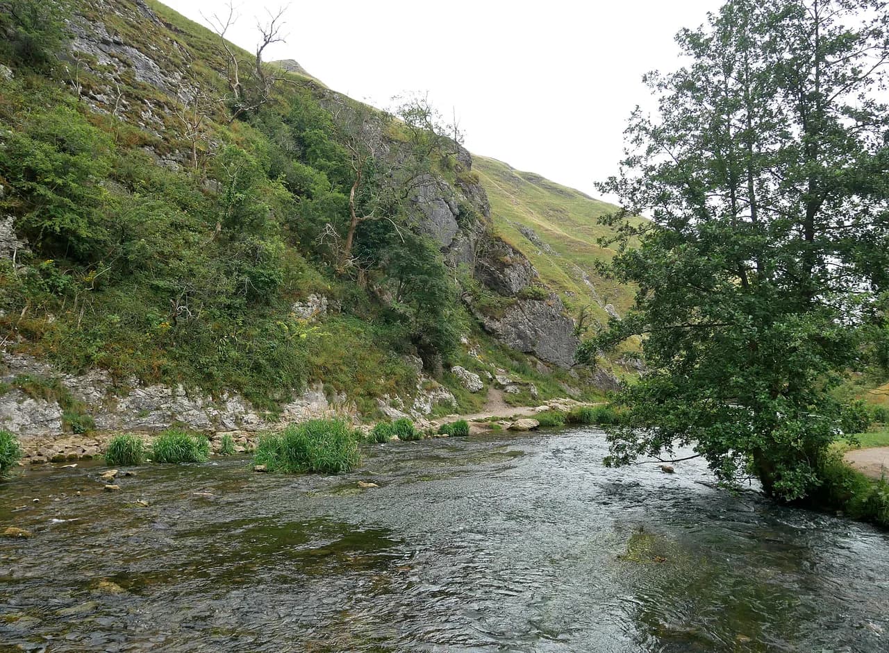
Thorpe Cloud, at the southern end of the park, is a 2.5 km (1.6 mile) walk that includes the Dovedale stepping stones and a rocky scramble to the summit. The summit has steep drops, so it is not a place for a windy day, and the marked trails shift to limit erosion, which means you should follow the current path rather than a worn line in the grass. The Dovedale car park fills on school holidays, bank holiday weekends and sunny weekends, with a 9am or after-4pm arrival suggested.
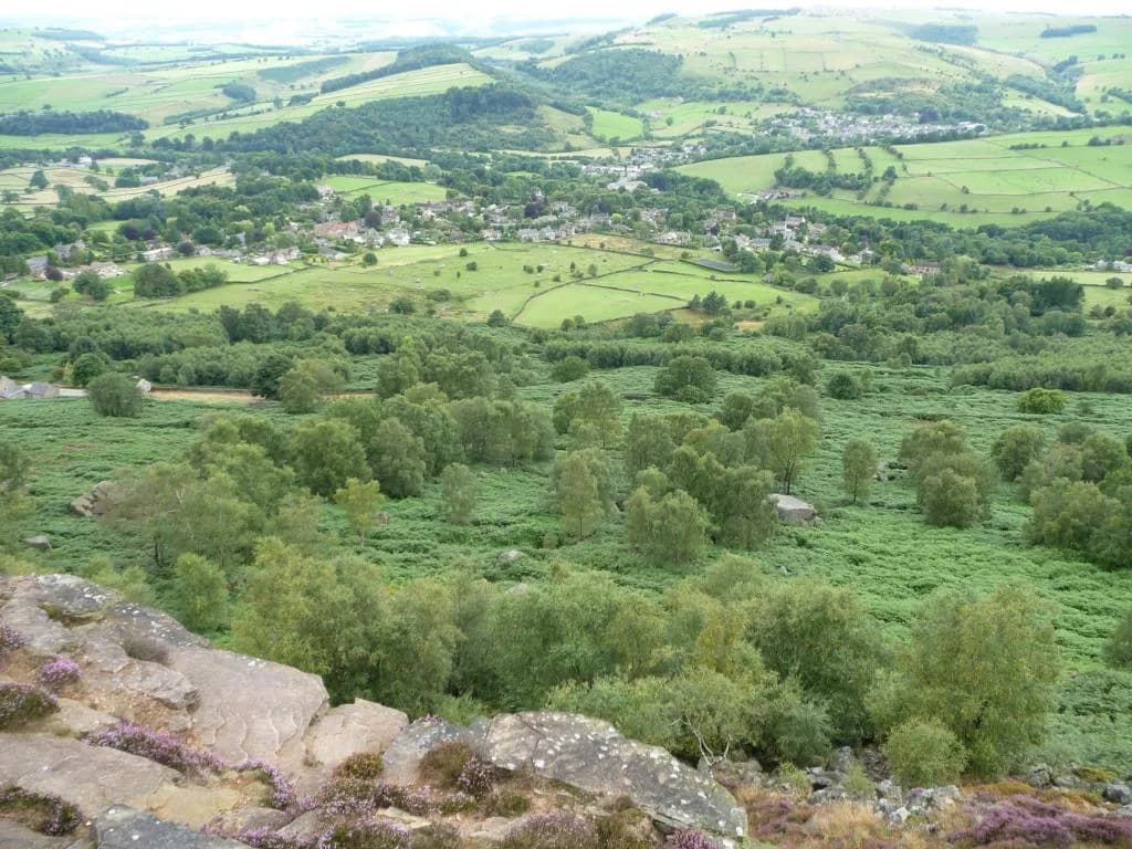
Baslow Edge is a 2.7 km (1.7 mile) loop from Curbar Gap car park with views to Chatsworth House on one side and the Kinder plateau in the distance on the other. Highland cattle graze here and are almost always visible, and the boulders along the edge are the draw for children. Curbar Edge's own short walk is 3.3 km (2.1 miles), includes the best viewpoints and returns through woodland below the escarpment; allow a couple of hours because the boulders slow everyone down.
The Monsal Head circuit is 2.4 km (1.5 miles), dropping from the main viewpoint into Monsal Dale to the weir, crossing the River Wye and climbing back beneath the Headstone Viaduct. Good grip is essential because the path turns very muddy after rain, and the view point car park is a known hot spot at weekends. If you would rather ride or walk the old railway line than drop into the dale, the monsal trail offers an easier grade through the same landscape.
Ramshaw Rocks is a 3.4 km (2.1 miles) circuit on the Staffordshire side above the A53 between Buxton and Leek, with views to Hen Cloud, The Roaches and Tittesworth Reservoir. The path is uneven throughout and the roadside parking is extremely limited, so arrive before 9am at weekends and school holidays or come late for sunset light. Allow a couple of hours for the rough ground and the scrambling.
On the Buxton side, Solomon's Temple on Grin Low is a 2.4 km (1.5 miles) waymarked walk through woodland from the Poole's Cavern car park, following the yellow route up and the green route back. The tower stands on the site of a Neolithic burial mound, and the summit view reaches Mam Tor on a clear day. It is the easiest option in this group and a sensible choice in poor weather because the trees give shelter.
Mam Tor and the Great Ridge: Summit Route and the Hollins Cross Loop
Mam Tor is 517 m (1,696 ft) and overlooks Castleton. The direct summit route is a steep 550 m climb from the nearest car park, short enough for most walkers but with enough gradient to raise your heart rate. The classic Mam Tor walk is 4.2 km (2.6 miles) from the National Trust car park, climbing to the summit, dropping to Hollins Cross, then descending through woodland to Broken Road, an abandoned road closed by landslides in the 1970s, before passing Blue John Cavern on the way back.
The exposed ridge means wind is the main consideration on the Great Ridge, and the car park is the busiest in the area at weekends and during school holidays. Arrive early if you want a space without circling. For anyone new to the park, the ridge is the single best introduction to Dark Peak views, because the height comes with a clear path and a short total distance.
Higger Tor and Stanage Edge: Boulder Country Above Hathersage
The Higger Tor walk is 4.5 km (2.8 miles) and is all about the expansive views, so keep it for a clear day. The route is very exposed, with a boggy section halfway through where cloud and poor visibility make navigation awkward. Budget around three hours if anyone in the group likes climbing on boulders, because the rock here invites detours.
The Robin Hood's Cave walk runs 6.9 km (4.3 miles) along Stanage Edge to Stanage Pole, a large wooden pole that has stood for centuries on the old boundary between South Yorkshire and Derbyshire. The cave itself sits hidden in the cliff face, and the route also passes the Cowper Stone boulders and the Stanage trig point. It is a linear route, so plan the return leg before you set off.
The High Nebb circuit is 7.7 km (4.8 miles) from the Hollins Bank car park at the base of Stanage Edge, climbing steadily to the top and following the path past the High Nebb trig point to Stanage End before descending to the lower footpath and returning beneath the escarpment. Even on a warm summer day it is blustery on the edge, so an extra layer earns its place in the pack. The footpath is uneven underfoot for its whole length.
Bamford Edge and Win Hill: Ladybower Reservoir Viewpoints
Bamford Edge is 7.9 km (4.9 miles) and gives the classic line of view over Ladybower Reservoir and the valley below. Plan it for a clear day, and park in a designated bay rather than on the verge, because this stretch of road is narrow and busy. For a longer day, link it with Win Hill and you get two high viewpoints in one outing.
Win Hill is 462 m (1,516 ft) and its 6.2 km (3.9 miles) circular route from Heatherdene car park crosses Ladybower Dam past the shaft spillways, then climbs through pine forest on a steady gradient rather than the direct steep line. The descent from the summit is steep enough that poles help, and awkward for anyone carrying a child in a carrier. Arrive before 10am at weekends and school holidays, when the car park gets exceptionally busy.
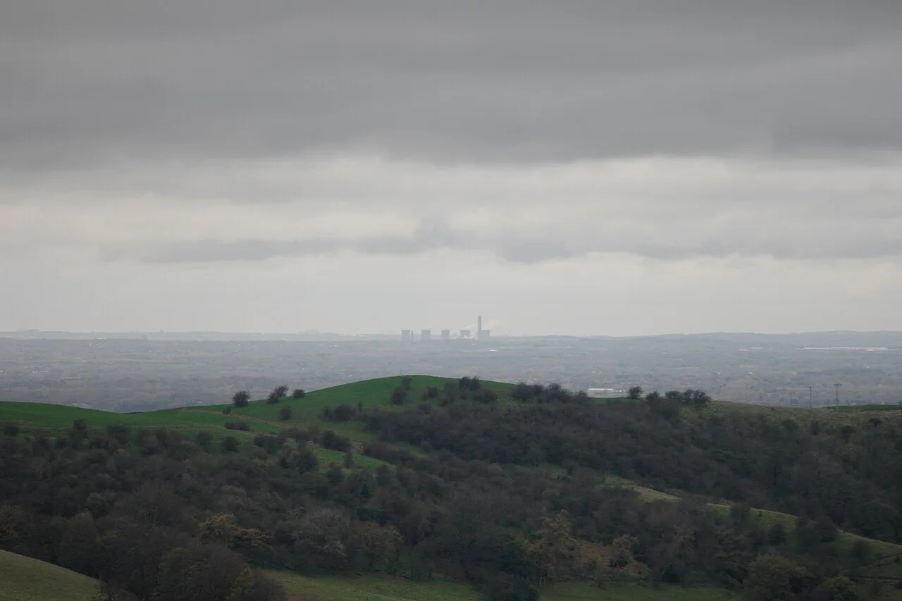
The Roaches and Ramshaw Rocks on the Staffordshire Side
The Roaches circuit is 5.5 km (3.4 miles), and the top path to the trig point is the busy half of the walk while the second half drops into much quieter ground. Views run across Tittesworth Reservoir and Leek, and the rock is popular with organised climbing clubs, so expect ropes and helmets on the crags. The terrain is rocky and uneven with a boggy section, and the parking area fills by 9am on busy days, with designated bays the only acceptable option.
Combining The Roaches with the neighbouring Lud's Church walk gives a 12.6 km (7.8 miles) day. Lud's Church is a deep, mossy cleft in the rock rather than a building, and reaching it adds variety to what would otherwise be a straightforward ridge circuit. If you have only one day in this corner of the park, the combination is the better use of fuel and time than driving between the two.
Shutlingsloe and Shining Tor: The Cheshire Corner
Shutlingsloe is 506 m (1,660 ft) and nicknamed the Matterhorn of Cheshire for its pointed profile. The linear 4.8 km (3 miles) route climbs 245 m (804 ft) steadily from Macclesfield Forest to a trig point with a full circle of views over The Roaches, Shining Tor, Macclesfield and, on a very clear day, across to Wales. The first section runs through conifer forest where felling and replanting work has been underway to restore broad-leaved trees, and the forest also holds the largest heronry in the park.
Shining Tor is the highest hill in Cheshire's Peak District at 559 m (1,834 ft), but the 6.6 km (4.1 miles) route starts from Pym Chair car park at 461 m, so the climb is modest for the height gained. The reward is a trig point and a line of rocky outcrops along the ridge, with Shutlingsloe in the middle distance and, on the clearest days, Snowdonia and the Wrekin. Starting lower at Errwood Reservoir lengthens the walk and adds ascent if you want a bigger day.
Kinder Scout from Edale and from Hayfield
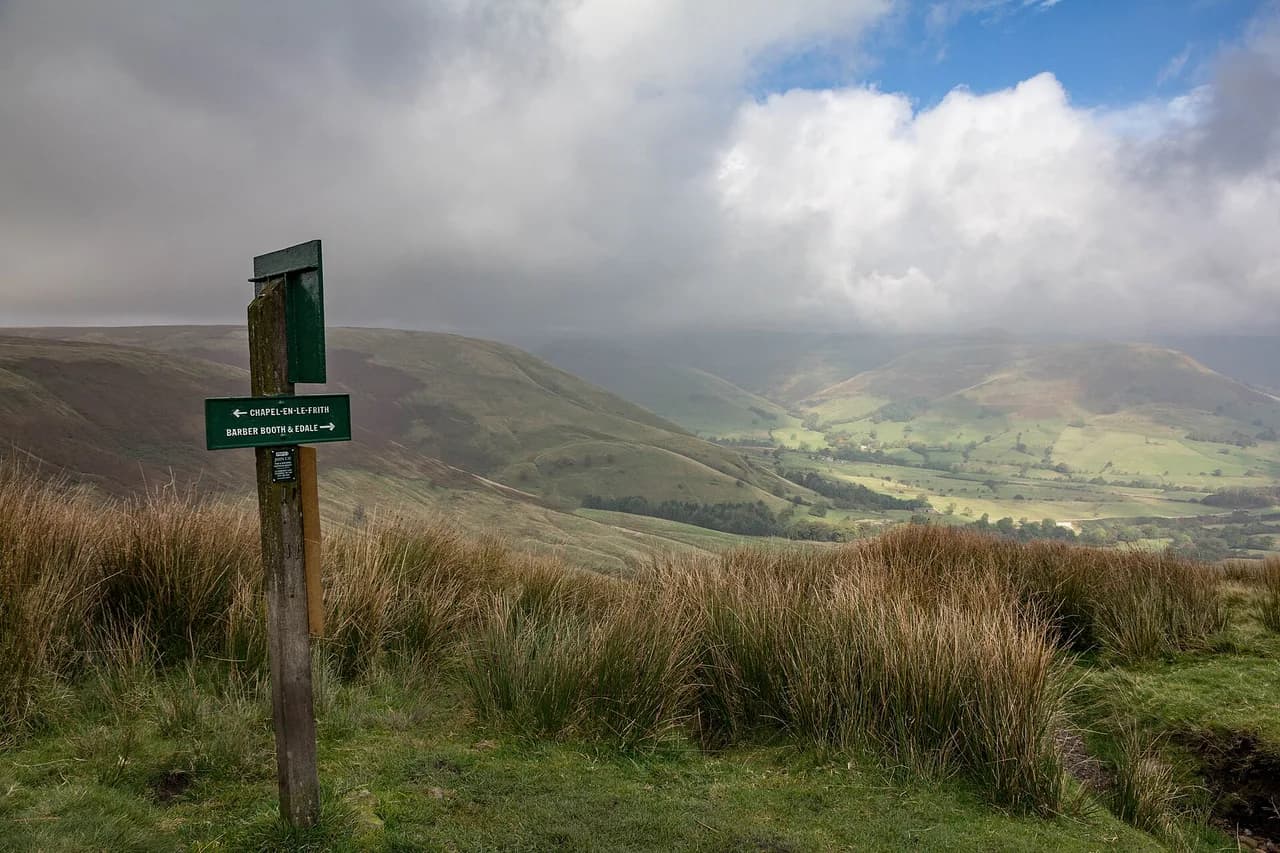
Kinder Scout is the park's biggest moorland day. From Edale the route is 12.7 km (7.9 miles); from Hayfield it is 14 km (8.7 miles). Both versions cross peat plateau where the ground is wet year-round and the paths braid through erosion, so a map and compass belong in the pack alongside a charged phone. Navigation matters most when cloud drops and the plateau edge disappears.
The Edale start gives the shorter day and a straightforward return to a village with a railway station, which makes it the better choice if you are travelling without a car. The Hayfield start gives a longer approach with more climbing before you reach the plateau. Either way, treat this as a full day and start early enough to be off the tops before the afternoon weather builds.
Alport Castles and the Quiet Moors Above Derwent Reservoir
Most people at Fairholmes stay on the track around the reservoirs, and on a sunny day that shore is busy. A circular walk from the Derwent Reservoir shore up onto Hagg Side and across the moor to Alport Castles gets you away from that crowd: the castles are a half-mile long landslip whose debris mounds resemble towers from a distance. The stretch near the reservoir and Hagg Side stays relatively popular, while the moor crossing to Alport Castles and back toward the Snake Pass is much quieter.
The views from this moor feel quite different from the edge and ridge routes, with long open ground rather than a broken skyline. Carry the Dark Peak map if you plan to link paths here, because the moor is featureless in poor visibility. The Fairholmes area itself has information on site about the reservoir and its access points.
Trailheads, Parking and Access to the Edges
Peak District car parks cluster at the obvious points: Curbar Gap for Baslow and Curbar edges, Hollins Bank for Stanage, Mam Tor and Heatherdene for the Great Ridge and Ladybower, Fairholmes for Derwent Reservoir, Pym Chair for Shining Tor and the Robin Hood Inn for Birchen Edge. Weekend and school-holiday arrivals before 9am or 10am are the reliable way to secure a space at the busy ones. Do not navigate by postcode alone, because a Peak District postcode can cover a wide area; use a map pin or grid reference instead.
For the Dovedale and Thorpe Cloud start, the car park is exceptionally busy on school holidays, bank holiday weekends and sunny weekends. Edale's station on the Hope Valley line puts the Kinder Scout start within walking distance of a train, which removes the parking problem entirely. There is no lift or cable car serving any of these edges, so every route described here is walked from road level.
Distance and Difficulty at a Glance
The shortest routes sit between 2.4 km and 3.4 km (1.5 to 2.1 miles): Solomon's Temple, Monsal Head, Thorpe Cloud, Birchen Edge, Baslow Edge, Curbar Edge and Ramshaw Rocks. The middle band from 4.2 km to 7.9 km (2.6 to 4.9 miles) covers Mam Tor, Higger Tor, Shutlingsloe, The Roaches, Win Hill, Shining Tor, Robin Hood's Cave, Stanage Edge with High Nebb, and Bamford Edge. The long days are the Curbar, Froggatt and White Edge combination at 9.4 km (5.8 miles), Kinder Scout from Edale at 12.7 km (7.9 miles) and from Hayfield at 14 km (8.7 miles).
Match the difficulty to the terrain rather than the number. Short does not mean easy: Thorpe Cloud involves a scramble and steep drops, and The Roaches is uneven rock with a boggy section. Long does not always mean hard either, because the reservoir tracks around Fairholmes give easy, level miles for anyone building fitness before tackling the moorland tops.
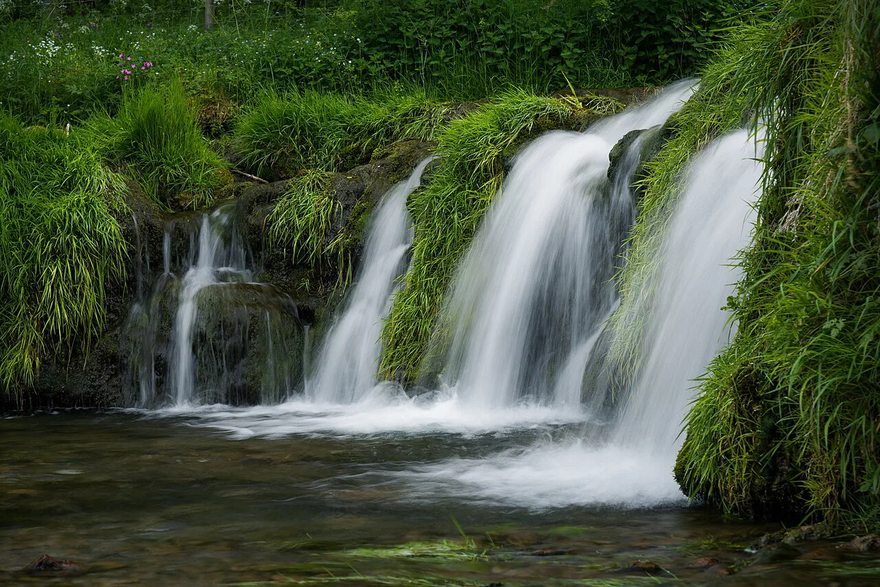
When to Go
Spring and early summer give the longest daylight and the driest ground on the edges, and late summer into autumn brings clearer, cooler days with fewer people midweek. Gritstone edges are blustery even in warm weather, and Stanage in particular will feel cold in wind, so pack a shell and an extra layer on every edge day. Moorland plateau routes such as Kinder Scout hold wet ground after rain in any month.
Winter shortens the usable day and puts snow or ice on the high ground, which turns straightforward paths into slip hazards. On short winter days, choose a valley route such as Monsal Head or Solomon's Temple where you can finish comfortably before dark. Check the mountain weather forecast the evening before and treat strong wind on the Great Ridge and Stanage as a reason to switch to a sheltered route.
Hazards and Footwear
The recurring hazards on these routes are steep drops just off the edge path, slippery rock after rain, scramble moves on summits such as Thorpe Cloud, and boggy ground on Higger Tor and the Kinder plateau. The sensible response is hiking boots or trainers with very good grip, a walking pole for steep descents such as Win Hill, and hands free on any rock step. Keep children away from the very edge on Stanage and Curbar, where climbers may also be on the face below.
Exposure is the other factor: Higger Tor and the Great Ridge give no shelter from wind or rain, and cloud can remove the view entirely and with it the easiest navigation cue. On moor crossings, carry a map and compass rather than relying on a phone. In wet weather, mud on the Monsal Head and Roaches paths makes descents slower than the distances suggest.
Where to Base Yourself
Castleton puts Mam Tor, the Great Ridge and the Hope Valley within a few minutes' drive. Hathersage sits under Stanage Edge and suits the Robin Hood's Cave and High Nebb walks, with the edge path starting close to the village. Edale is the natural base for Kinder Scout and gives rail access to the start.
Bakewell and Matlock work well for the White Peak dales, the Monsal Trail and the southern edge walks, and Buxton gives the shortest access to Solomon's Temple, Shutlingsloe, Shining Tor and the Cheshire corner. Choose a base by the routes you actually intend to walk rather than by the town you like most, because driving across the park between north and south eats time you would rather spend on the hill.
Overnight Options for Multi-Day Trips
The Peak District does not have an alpine hut chain, so multi-day trips mean a sequence of day walks based from villages, hostels or campsites rather than a booked hut-to-hut route. YHA properties appear in the area's accommodation listings, and pubs with rooms sit close to several of the trailheads, including the Robin Hood Inn at Birchen Edge.
A workable two- or three-day plan pairs a Castleton base for the Great Ridge with a Hathersage base for Stanage, or a Bakewell base for the White Peak dales with a Buxton day for the western edges. Keep each day's driving under half an hour and you spend your time walking rather than repositioning. Camping and vehicle overnight rules are managed by the national park authority and its landowners.
Plan Your Peak District Day Out
Start with the trailhead, not the summit: pick Curbar Gap, Hollins Bank, Fairholmes, Heatherdene or Pym Chair, then choose a route that fits the hours you have and the weather you have been given. For a first visit and a clear day, the Great Ridge or Baslow Edge gives the best views per mile. For a short, punchy day with a scramble, Thorpe Cloud is the pick.
Carry the Dark Peak map for the northern routes and the White Peak map for the southern ones, a shell layer for the edges, and boots with real grip for wet rock and mud. Arrive at the busy car parks before 9am, and on winter days keep the route short enough that you finish before dark.
Explore more Peak District hiking guides
- Bamford Edge Walk
- Castleton Walks
- Chatsworth Walks
- Dovedale Walk
- Edale Walks
- Hathersage Walks
- Ladybower Reservoir Walks
- Mam Tor Walk
- Monsal Trail
- Padley Gorge Walk
- Stanage Edge Walk
- Thor's Cave Walk in the Peak District
- Curbar Edge Walk
- Easy Walks in the Peak District
- Peak District Walking Holidays
- The Great Ridge Walk
- Win Hill Walk
- Lose Hill Walk from Castleton
Frequently Asked Questions
Is Mam Tor a hard walk?
No, not if you take the direct summit route, which is a steep but short climb to the 517 m trig point. The classic loop over Hollins Cross and back along Broken Road is a modest distance with a real descent on the way off the ridge. Wind is more likely to make it feel hard than the gradient, so pick a calmer day.
How long does Kinder Scout take from Edale?
The route from Edale covers 12.7 km (7.9 miles), which is a full day on moorland. Wet ground, path braids and navigation in cloud all add time, so start early and carry a map and compass. The Hayfield version is longer at 14 km (8.7 miles).
What is the best time of year for Peak District hiking?
Late spring to early autumn gives the longest daylight and the best chance of dry ground underfoot. Edges such as Stanage stay blustery even in summer, so always carry a windproof layer. Winter shortens the usable day and puts ice and snow on the high ground, which favours valley routes.
Where are the best views in the Peak District?
The Great Ridge, Stanage Edge and Bamford Edge all deliver long views over the Dark Peak, and Shining Tor gives a surprisingly broad panorama for moderate effort. For a short walk with a big reward, Baslow Edge shows Chatsworth House on one side and the Kinder plateau on the other. Choose by weather: clear days belong on edges and ridges.
Do you need hiking boots for the Peak District edges?
Boots or trainers with very good grip are the sensible choice, because gritstone becomes slick when wet and several descents are steep. Thorpe Cloud and the Roaches have uneven rock underfoot, and Higger Tor has a boggy section. Footwear matters most on the final descents, where most slips happen.
Is the Peak District good for short family hikes?
Yes. Routes such as Birchen Edge, Baslow Edge, Solomon's Temple and the Monsal Head circuit all come in at under 3 km and have clear paths. Mammals, boulders and carvings give children something to do besides walking. Steep edges and slippery rock still need supervision.
Which is better for a first visit, the Dark Peak or the White Peak?
The Dark Peak suits walkers who want edges, ridges and open views, while the White Peak suits gentler valley walks with villages and pubs close by. A short first trip can combine both by basing in Castleton and driving south to Bakewell for a dales day. Choose the Dark Peak for your big views day.
Sources
Trail notes for your next trip
Optional updates when we add or revise hiking guides.
You might also like
Continue reading
More guides you'll find useful