Great Ridge Walk: Mam Tor to Lose Hill Route Guide
The Great Ridge walk links Mam Tor, Back Tor and Lose Hill above Castleton. Here is the distance, ascent, trailheads, route stages and best months to hike.
On this page
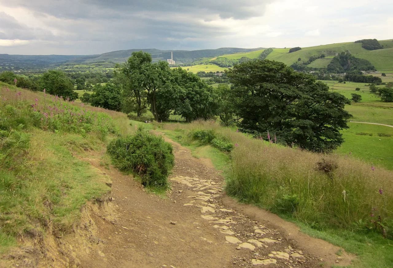
The Great Ridge is the green whaleback that separates the Hope Valley from Edale, and walking it end to end gives you a run of summits — Mam Tor, Back Tor and Lose Hill — with huge views in every direction and a village full of cafes at the finish. It suits hikers with a full day and reasonable fitness who want a proper hill day without scrambling, and it can be trimmed to a two-summit outing if you are short of time.
Where the ridge sits above Castleton and the Hope Valley
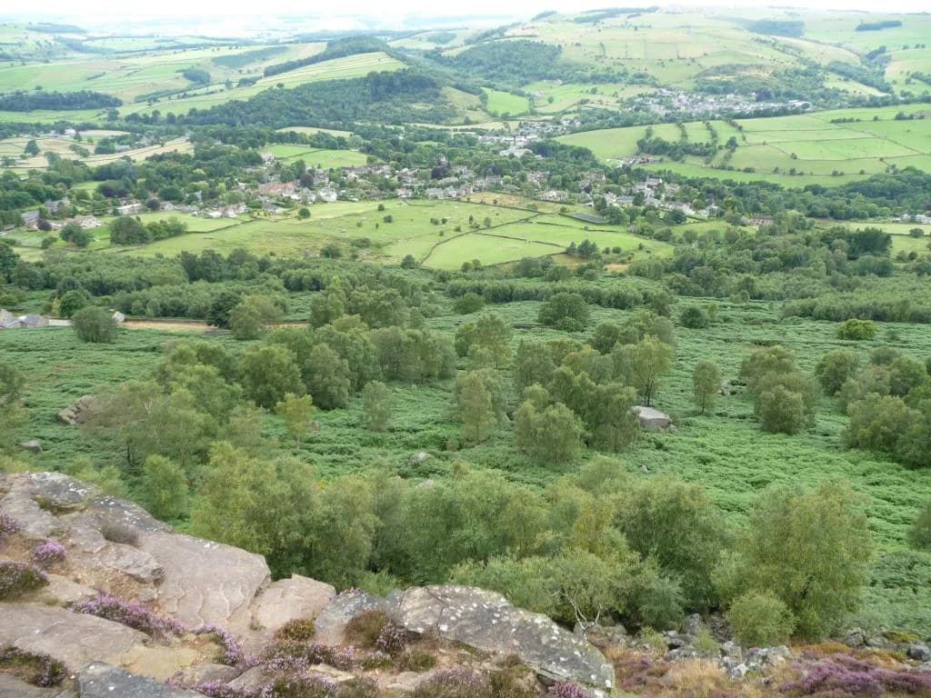
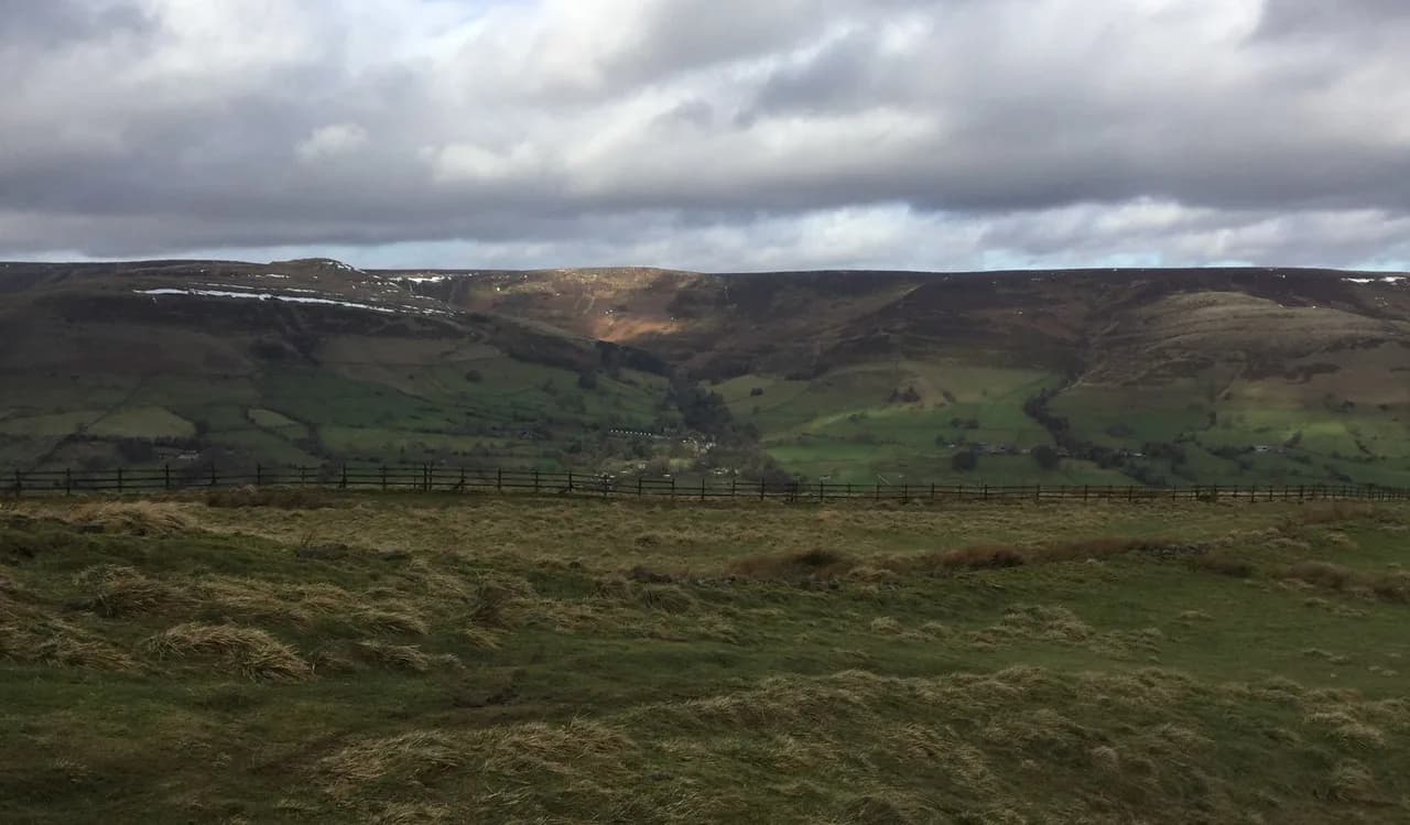
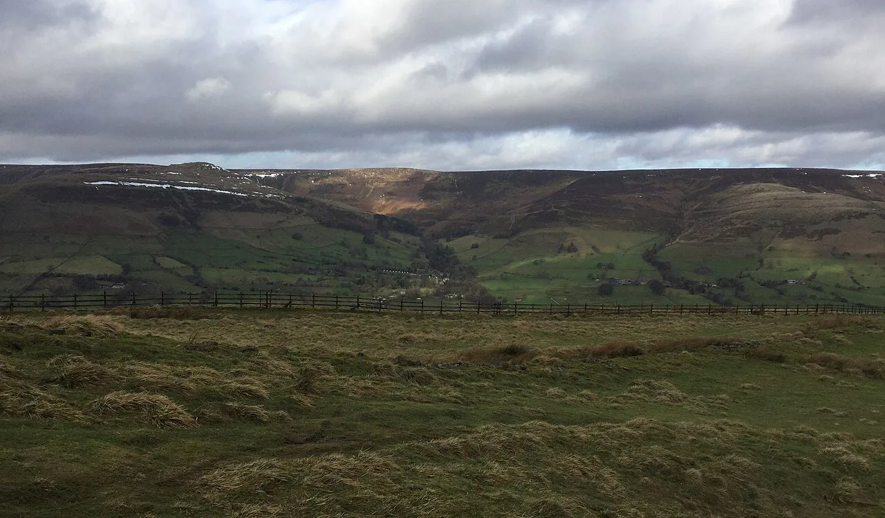
The ridge runs roughly west to east along the southern edge of Edale, starting at Mam Tor above Castleton and dropping east to Lose Hill above Hope. Castleton sits directly beneath its southern flanks, which is why the village works so well as a base: you can walk out of your accommodation and be climbing within minutes. On the northern side the ground falls away into Edale, so the traverse gives you two different valleys to look into as you go.
For a wider sense of how this ridge fits among the national park's options, the Peak District National Park has limestone dales, gritstone edges and moorland plateaus within easy reach of Castleton. The ridge is the classic introduction to the Dark Peak side of the park, with Kinder Scout further north above Edale.
Trailheads and access: Castleton village, Mam Nick and the bus stop
Castleton is the natural start. The recorded circuit begins and ends at a bus stop in the village, so you can arrive by bus and walk straight onto the hill without moving a car. From the village center you climb west toward Mam Tor, gaining the ridge at its western summit.
The alternative is Mam Nick, the road pass on the ridge's western shoulder, where a National Trust car park puts you at the foot of the Mam Tor climb and shaves the village approach off the day. The National Trust lists charges of £6 for up to four hours and £8 all day for this car park, so a short ridge day from Mam Nick costs less than a full circuit day. Check the National Trust page for current charges before you travel, since car-park pricing is reviewed periodically.
Distance, ascent and walking time for the full ridge circuit
The full Castleton circuit measures 13.0 km (8.1 mi) with 450 m (1,476 ft) of ascent and is typically walked in about 3 hours 58 minutes. The route is graded moderate, which means good fitness and sure-footedness rather than technical skill. Most of the height comes in a few sustained pulls rather than one long climb, so the day feels steadier than the totals suggest.
The recorded high point is around 490 m (1,608 ft) and the low point around 190 m (623 ft), which tells you the ridge itself is modest in altitude and the day is about repeated short climbs, not altitude. Add time for stops on the summits and in Castleton at the end.
Route description: Mam Tor summit and the former hillfort ramparts
From Castleton the route climbs west and picks up the pitched path onto Mam Tor, whose summit carries earthworks from an Iron Age hillfort. The top is broad and grassy with a trig point and a wide view over the Hope Valley; in clear conditions the outlook reaches as far as Manchester. This first climb is the steepest sustained pull of the day, so take it steadily and let the ridge beyond come into view.
The path along the top and the descent toward Hollins Cross is busy at weekends, and the edge is genuinely close on the northern side, so keep dogs on a lead through this section. If you want a dedicated look at this summit on its own, the Mam Tor walk guide covers the shorter ascent from the road.
Hollins Cross and the climb to Back Tor
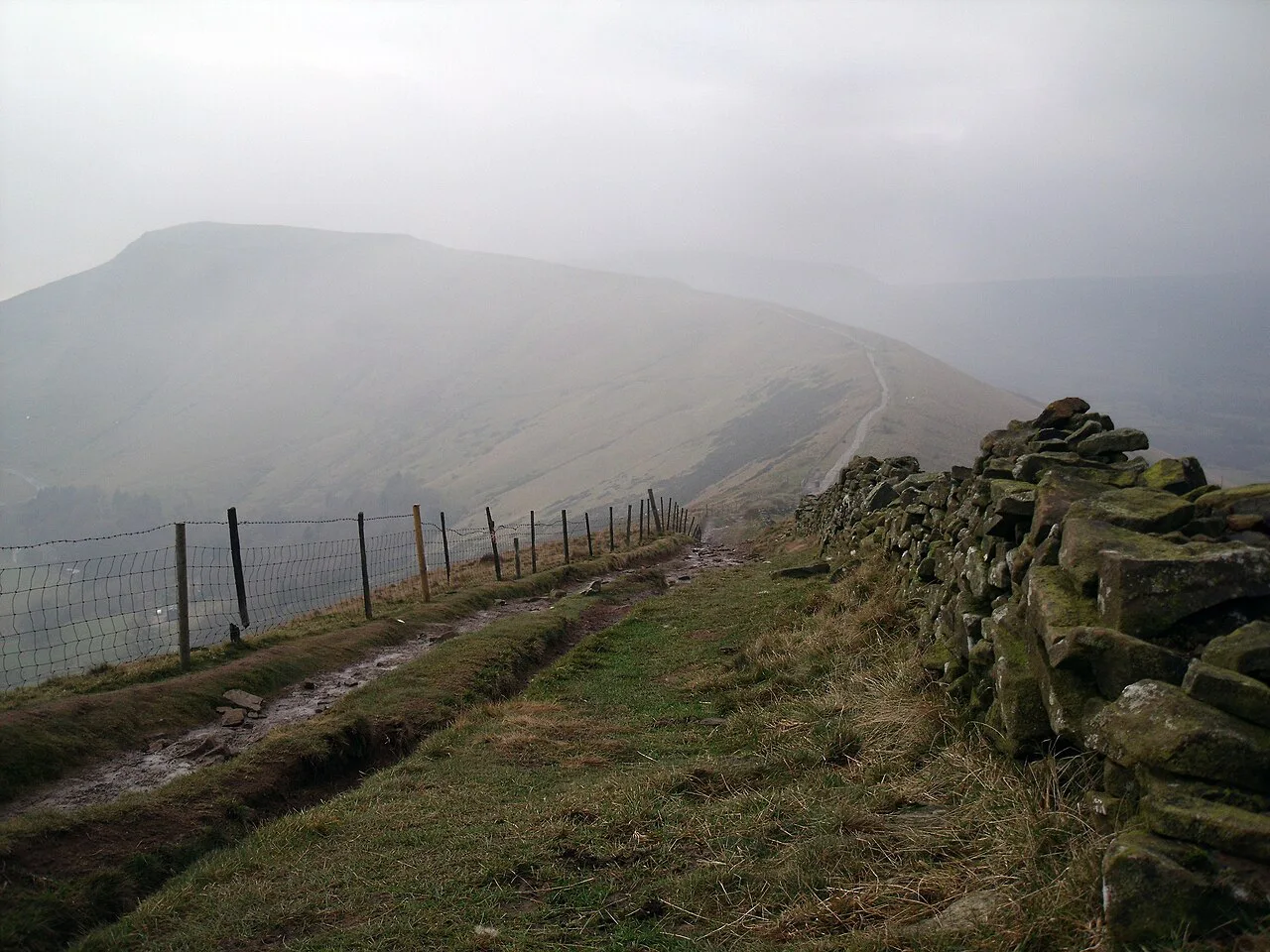
Hollins Cross is the saddle where paths from Castleton, Edale and the ridge meet, with a cross-shaped marker and panoramic views in both directions. It is the natural pause before the day's sharpest sting: the climb up Back Tor, which rears above the col as a short, steep, stone-pitched rise. Take it at an easy pace — the reward is the best viewpoint on the ridge.
Back Tor's crest is narrower than most ridges in the UK, and on a gusty day the wind funnels across it from the west. If you are traversing west to east, as the circuit does, the wind hits your right side on the exposed section, so keep your weight over the path and wait for a lull before striding out. Hikers with a fear of exposure will find this the one spot to concentrate on.
Lose Hill summit and the descent
Lose Hill is the eastern end of the ridge, a rounded summit with a topograph and one of the finest backward views of Mam Tor and the whole whaleback you have just crossed. Below you on the north side lies Edale and on the south the Hope Valley. From here the route drops east and then south toward Castleton, losing the height you gained.
The descent is straightforward on good paths, but the ground underfoot is a mix of pitched stone, natural trail and short paved sections, so wear boots with grip rather than road shoes.
Return through Castleton, Cave Dale and below Peveril Castle
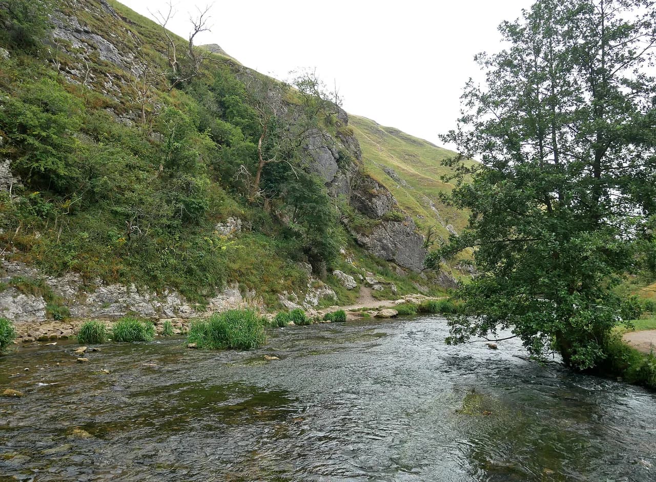
The circuit's sting in the tail is Cave Dale, a limestone gorge that climbs out of Castleton's western edge and then delivers you back down into the village beneath the ruins of Peveril Castle. The valley is narrow, dry and dramatic, with walls that close in around the path. It rounds the day off with a very different landscape from the open ridge.
Shorter options: an out-and-back ridge traverse or a one-way walk
If a full circuit is too much, walk out from Mam Nick or Castleton to Back Tor and Lose Hill and return the same way; you still cross the best of the ridge and skip the Cave Dale loop. The recorded Mam Tor and Great Ridge circular variants come in at around 13.1 to 13.3 km (8.1 to 8.3 mi) with roughly 410 to 440 m (1,345 to 1,444 ft) of ascent, so the full circuit is only marginally longer than the headline alternatives.
A one-way traverse is the other good choice: start at Mam Nick, cross the ridge and finish down at Castleton for lunch, which halves the climbing and keeps the views. Arrange a lift or bus back to the car, or leave the car in Castleton and take the bus up to the pass at the start.
When to go: seasons, weather and daylight on the ridge
Late spring through early autumn gives the most reliable weather and the longest days, and the ridge is at its best on a clear morning before the cloud builds. Summer weekends bring crowds on Mam Tor and Back Tor, so an early start pays off. Winter walking is possible in good conditions but the pitched path ices over and the wind on Back Tor turns a moderate day into a serious one.
Whatever the season, the ridge is completely exposed, and afternoon thunderstorms build quickly over the Dark Peak. Plan to be off the summits by mid-afternoon and carry a waterproof shell even on a fine forecast.
Exposure, wind and the state of the path underfoot
The Great Ridge is not a scrambling route, but it is a bare, high line with no shelter and real edges on the Back Tor section. Snow can linger on the northern side into spring, and the pitched stone paths become slippery when wet. A map, compass and the ability to navigate off the ridge in cloud are sensible kit for a day out.
Facilities in Castleton: cafes, pubs and the visitor centre
Castleton has cafes, tearooms, pubs, restaurants and a visitor center, which makes it the obvious place to base yourself for this walk. Finish the circuit with a proper meal in the village rather than driving straight home.
Parking and costs at Mam Nick and in Castleton
The National Trust car park at Mam Nick charges £6 for up to four hours and £8 all day, which is plenty for the ridge circuit and leaves time for a stop in Castleton. Village parking fills early on sunny weekends, so arrive before mid-morning or use the bus.
Nearby hikes in the Peak District if the ridge is busy
When the ridge is heaving, the Peak District has plenty of alternatives within the national park. The Ladybower Reservoir Walks offer gentler valley and dam-side paths, while the Bamford Edge walk and Stanage Edge give you gritstone views with fewer people on the summit. If you are weighing up a longer hill day elsewhere in the region, the Yorkshire Dales hiking guide is a useful comparison for distance and level.
For a traffic-free former railway line with tunnels and viaducts, the monsal trail runs through the White Peak between Blackwell Mill and Chee Dale. It is a very different day out from the ridge, and a good wet-weather substitute.
Plan Your Visit
The Great Ridge walk is the best single hill day in the Peak District for most hikers: a 13 km (8.1 mi) circuit with 450 m (1,476 ft) of ascent, a string of named summits and a village with food at the end. Start early from Castleton or pay for a few hours at Mam Nick, and you will have the ridge at its best.
Book accommodation in Castleton for the weekend, check the National Trust car-park charges and the forecast before you set off, and take a map for the cloud. The ridge rewards a steady pace and a bit of planning.
Frequently Asked Questions
How long is the Great Ridge walk?
The full circuit from Castleton is 13.0 km (8.1 mi) with 450 m (1,476 ft) of ascent and takes most hikers around four hours, excluding stops. Shorter ridge-only variants from the village come in at around 13.1 to 13.3 km (8.1 to 8.3 mi) with slightly less climbing.
Where does the Great Ridge walk start?
Most hikers start in Castleton village and climb west toward Mam Tor. The alternative is Mam Nick, the road pass on the western shoulder of the ridge, where a National Trust car park puts you at the foot of the Mam Tor climb and shortens the day.
Is the Great Ridge walk hard?
It is graded moderate: good fitness and sure-footedness are needed, but there is no scrambling. The exposed section on Back Tor is the one place where wind and a narrow crest demand care.
Can you walk the Great Ridge from Castleton?
Yes. The village sits directly under the ridge and the circuit leaves and returns to it, finishing through Cave Dale below Peveril Castle. It is one of the best village-based hill days in the Peak District.
How much ascent is there on the Mam Tor and Great Ridge circuit?
The recorded circuit has 450 m (1,476 ft) of total ascent, spread over several short climbs rather than one continuous pull. The high point is around 490 m (1,608 ft).
Are there toilets near Mam Tor?
Toilets are not on the summit, and the ridge is completely exposed. Castleton village is the practical place to sort out facilities before and after the walk.
Sources
Trail notes for your next trip
Optional updates when we add or revise hiking guides.
You might also like
Continue reading
More guides you'll find useful