Ladybower Reservoir Walk: Fairholmes, Derwent Edge and Win Hill Routes
Pick your Ladybower Reservoir walk: a low-level dam circuit, the climb to Win Hill, or the long pull up to Derwent Edge, with car parks and distances.
On this page
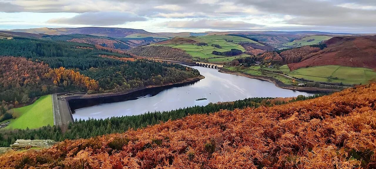
Ladybower Reservoir sits in the Upper Derwent Valley, where drowned farmland, two stone dams and a ring of gritstone edges give you everything from a flat hour beside the water to a full day of climbing. It suits hikers who want a short leg-stretch after a long drive as much as those chasing the Wheel Stones and Back Tor above the water.
What makes the area work is the choice: a stile-free, low-level circuit for families and easy days, short sharp hill climbs for fit walkers with half a day, and longer edge routes for anyone wanting real distance. Because several car parks sit at different points around the reservoir, the walk you pick should start with where you leave the car.
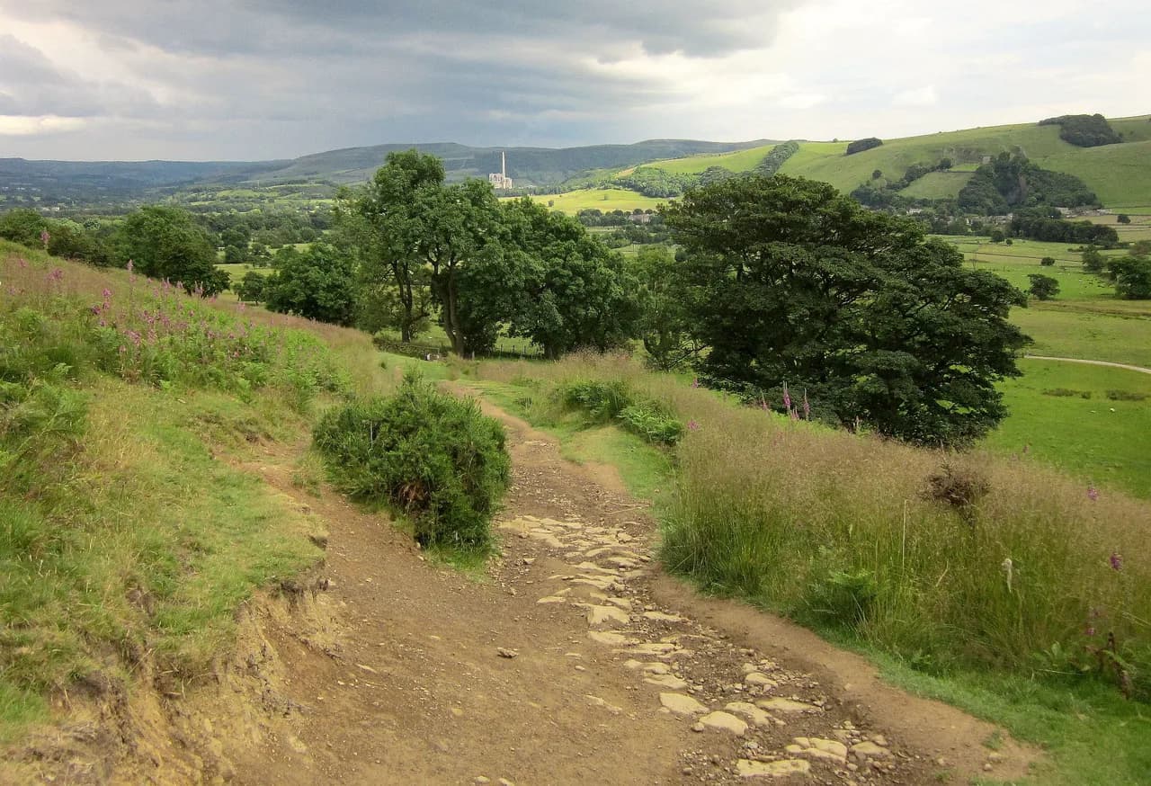
This is gritstone country in the Dark Peak, so expect flagged pitches, rocky tops and open moorland above the tree line. Weather changes fast up there, and the edge routes feel very different in low cloud than in sun.
Where Ladybower Reservoir sits in the Upper Derwent Valley
The reservoir lies in the Upper Derwent Valley in the Dark Peak of the Peak District National Park, close to Bamford and the Hope Valley. Water from the upper Derwent and Howden reservoirs flows down into Ladybower, and the A57 Snake Pass road runs along the northern side.
The walks fan out from four car parks: Fairholmes at the head of the reservoir, Heatherdene at the southern end near the dam, Bridge End further up the road toward Derwent Dam, and Derwent Overlook on Derwent Lane above Bamford. Fairholmes serves Derwent Dam and the Derwent Edge routes, while Heatherdene is the natural start for Win Hill and the Crook Hill loop.
Everything here is within a few kilometres of the water, so a single base in Bamford or Hope gives you quick access to all four starts. For a wider look at how this valley fits with the rest of the national park, the surrounding area rewards a longer stay.
Trailheads, parking and how to reach Fairholmes, Heatherdene, Bridge End and Derwent Overlook
Fairholmes car park, at the Upper Derwent Visitor Centre, is the biggest and has two levels; it takes card and cash, and the postcode is S33 0AQ. Heatherdene, at S33 0BY, is a medium-sized pay-and-display site with disabled bays and, according to the route guide, coins only. Bridge End is smaller and charges apply there too, cash only.
Derwent Overlook car park on Derwent Lane, Bamford, is run by the Peak District National Park Authority and accepts cash, card or the RingGo app. Rates differ between the four sites and change over time, so check the machine or the Peak District National Park Authority's page before you set off rather than relying on last year's figure.
Driving is the straightforward way in; a train to Bamford station leaves a long walk to the reservoir starts, so the station suits only the routes that begin in the village itself. Approaching from the north over Snake Pass is fine in good weather, but the A57 is closed in snowy conditions in winter, which adds distance to any northern approach.
Derwent Dam and Ladybower Reservoir circuit from Fairholmes
The gentlest day here is a low-level loop from Fairholmes around part of the reservoir, passing Derwent Dam and returning along the water. It is stile-free, making it the obvious pick for walkers with children or anyone wanting a straightforward outing, though there are some steps to negotiate.
The route is listed as a 6-mile (about 9.7 km) walk, best done as a morning or afternoon outing rather than a full day. Because it stays near the water, it is the most forgiving option in wind or drizzle.
A short circular walk from the Ladybower Inn pub car park climbs steeply on a path just past the pub and takes one to two hours; it is a compact way to see the reservoir from above if you are short of time.
Win Hill from Heatherdene
Win Hill is the sharpest little summit above the southern end of the reservoir, and the climb from Heatherdene passes the reservoir's overflow shafts before turning up the hill. The route is listed as a 6-mile (about 9.7 km) circuit with a stiff pull to the top and big views across to Crook Hill and the water.
The reward is the panorama over Ladybower and the Derwent Valley; on a clear day Win Hill's summit is one of the best viewpoints in the Dark Peak. The climb is the trade-off for that view, so save it for a day when you have energy for sustained uphill.
If you want a longer day on the same slopes, the Win Hill and Crook Hill combination adds a second summit and stretches the outing to 9 miles (about 14.5 km). Crook Hill tops out at just 374 metres (1,227 ft) but delivers a wide panorama over Win Hill, Lose Hill and the Kinder plateau.
Crook Hill and the short circuit from Bridge End
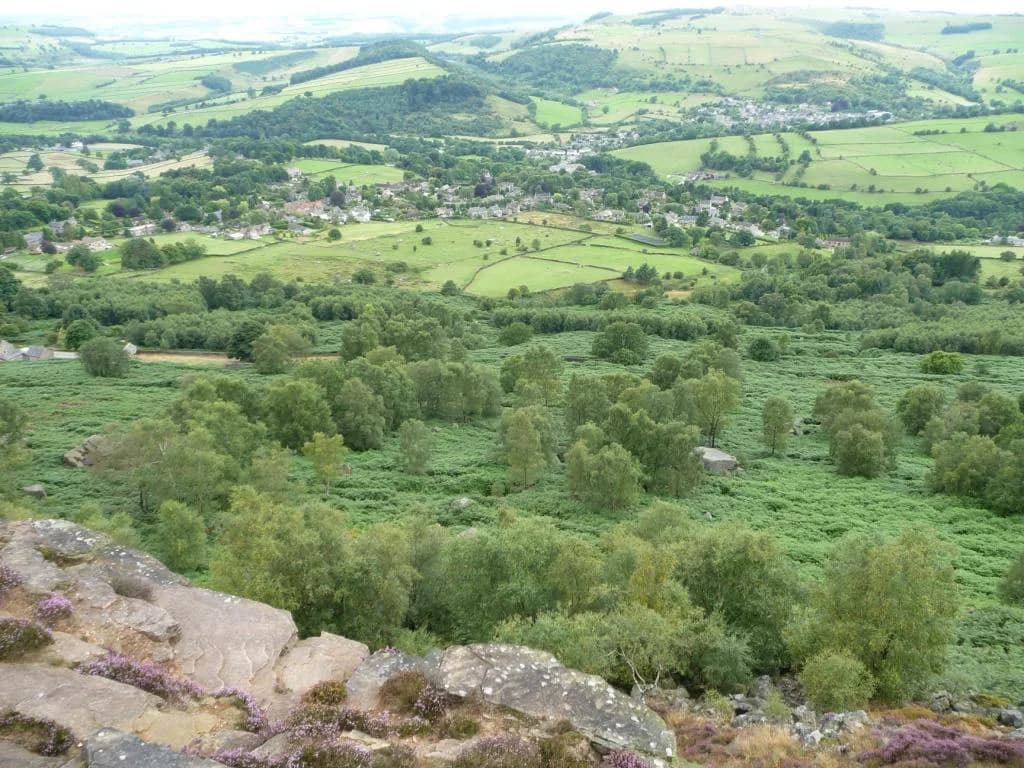
Crook Hill makes a neat short day from Bridge End: a 4-mile (about 6.4 km) loop over Bridge-end Pasture and up onto the hill before dropping back toward Ladybower. Despite its modest height, it opens up 360-degree views across the reservoir to Win Hill, Lose Hill, Kinder and Derwent Edge.
Bridge End parking is small, so arrive early if you are basing the walk there; otherwise Heatherdene gives you more space and adds only a short walk to the start. This is the route to pick when you want a genuine summit and a satisfying view without committing to a full day.
Derwent Edge from Fairholmes via Lost Lad and Back Tor
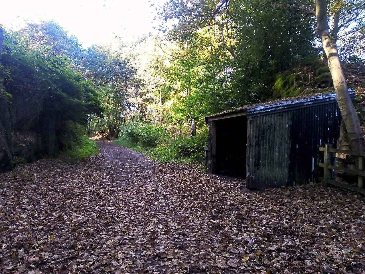
The Derwent Edge routes begin at Fairholmes, head past Derwent Dam and along the Upper Derwent Reservoir before climbing to Lost Lad cairn and the trig point at Back Tor. The shorter version is listed as an 8-mile (about 12.9 km) circular, with a longer 10-mile (about 16 km) version following the reservoir further before the climb.
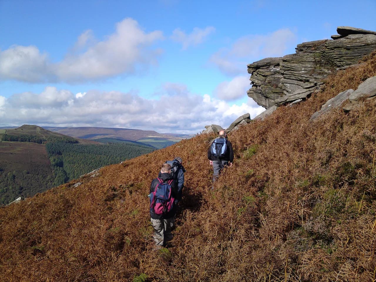
Derwent Dam looks at its best when the water is overflowing, which is a reason to choose this walk after wet weather rather than in a dry spell. Once up on the edge, the gritstone tors and the Wheel Stones give the route its character, and the views open out across the valley.
The edge is exposed, with little shelter once you leave the reservoir track, so wind and rain hit harder up top and low cloud can hide the line of the path. Carry a paper map and compass, and turn back or drop off the edge if conditions close in.
Alport Castles from Fairholmes
Alport Castles is the other big objective from Fairholmes: a 10-mile (about 16 km) circular that follows the ridge out to the landslip crags and returns by the reservoir. It is a quieter outing than Derwent Edge, with the oddity of walking toward what looks like a ruined fortress on the hillside.
There is a smaller car park about halfway up the road toward the reservoir that shortens the approach if you are heading for Alport Castles. Space there is limited, so treat it as a bonus rather than a plan.
Bamford Edge, Stanage Edge and Derwent Edge link-ups
Walkers wanting three gritstone edges in one day can start from Heatherdene and climb Bamford Edge before continuing to Stanage Edge and the far side of Derwent Edge, a 12-mile (about 19.3 km) route. A longer 14-mile (about 22.5 km) version begins at Bamford train station and links Stanage Edge, Derwent Edge and the reservoir, which makes it one of the few public-transport-friendly options here.
These are big days with a lot of ups and downs on rocky ground, and the edge tops are exposed to wind. If you want a shorter introduction to the area's gritstone, a dedicated Bamford Edge walk from the village gives you the highlights without the full link-up.
The 9 Edges challenge from Derwent Edge
The 9 Edges Walk is the long-distance option: a 23-mile (about 37 km) linear route that starts at Derwent Edge above Fairholmes and runs across nine gritstone edges to Birchen Edge. It is a challenge route rather than a stroll, and the length means a full day out with an early start.
Because it is linear, you need to arrange transport back from the Birchen Edge end, which is several kilometres from Ladybower. Walkers who want a comparable long day on gentler, traffic-free ground can look at the Monsal Trail, which uses old railway lines through the White Peak.
Distance, ascent and time: comparing the routes side by side
The short options are the Crook Hill loop at 4 miles (about 6.4 km) and the Derwent Dam circuit at 6 miles (about 9.7 km); the Win Hill climb is also listed at 6 miles. Medium days cluster at 8, 9, 10 and 12 miles (about 12.9, 14.5, 16 and 19.3 km), and the long days run to 14 and 23 miles (about 22.5 and 37 km).
Allow roughly three hours for a 4- to 6-mile hill day and most of the day for anything at 10 miles or more, with extra time for the rocky ground on the edges. If you are hiking with a group, pick by the slowest walker and by how much daylight you have.
Surface, steps and exposure on each route
The reservoir circuit is stile-free, making it the easiest underfoot, but it still includes some steps. The hill routes use flagged and rocky paths with steep sections, and Derwent Edge and the link-ups to Stanage involve sustained climbing on gritstone.
Exposure matters on the edges: once above the reservoir track there is little shelter, and the tops catch wind and driving rain. Take a waterproof, an extra layer and a paper map, and be ready to shorten the day if the cloud drops.
When to go: seasons, dam overflow and Snake Pass in winter
Spring and summer give the longest days and the best chance of dry rock on the edges; autumn brings colour and quieter paths. Derwent Dam is at its most dramatic after wet spells, when water spills over the dam, so a damp week is not a reason to cancel if that is your goal.
Winter is workable for the low-level circuit, but the hill routes can hold ice and snow, and Snake Pass on the A57 closes in snowy conditions, which lengthens any approach from the north. Check the forecast the night before and plan a lower route if the tops are under cloud.
Facilities at Fairholmes and Heatherdene
Fairholmes Visitor Centre has toilets and a small cafe serving snacks and takeaway food, which makes it the easiest base for a day with children or a late start. Heatherdene also has toilets, so you can begin the Win Hill climb without a detour.
For a meal after the walk, the Ladybower Inn and the Yorkshire Bridge Inn are both close to the reservoir and both offer rooms. Booking ahead is sensible on summer weekends when the valley is busy.
Plan Your Ladybower Reservoir Walk
Match the route to your day: a 4- to 6-mile hill circuit if you have half a day, a 6-mile reservoir loop if you want something easy, or the 8- to 10-mile Derwent Edge routes if you want a proper day out on the gritstone. Start from the car park that serves your route, and arrive early at the smaller sites.
For a wider context across the national park, pair this valley with the Great Ridge and the White Peak dales on another day. If you enjoy comparing gritstone edge days, the Yorkshire Dales hiking guide covers similar high moorland routes worth a look. Either way, take a paper map and a waterproof, and keep an eye on the cloud on the exposed tops.
Frequently Asked Questions
Can you walk all the way around Ladybower Reservoir?
The routes described here are loops and linear routes that use parts of the shoreline, such as the 6-mile circuit from Fairholmes past Derwent Dam. They do not form a single complete lap of the reservoir; if a full circuit matters to you, plan it on a map that shows the paths and access land around the whole water.
How long is the walk around Ladybower Reservoir?
The shortest hill circuit listed is Crook Hill at 4 miles (about 6.4 km), while the low-level Derwent Dam circuit from Fairholmes is 6 miles (about 9.7 km). Longer options run from 8 miles (about 12.9 km) on Derwent Edge to the 23-mile (about 37 km) 9 Edges route.
Where do you park for the Ladybower Reservoir walk?
Fairholmes, Heatherdene, Bridge End and Derwent Overlook all serve different routes. Fairholmes suits Derwent Dam and Derwent Edge, Heatherdene suits Win Hill, Bridge End suits Crook Hill and Derwent Overlook sits on Derwent Lane above Bamford. Charges and payment methods differ between them, so check the machine before you travel.
Is the Ladybower Reservoir walk pushchair friendly?
The low-level circuit from Fairholmes is stile-free, which makes it the most accessible option, but it does include some steps. Check the steps on a map before committing with a pushchair or wheelchair.
How hard is the climb to Win Hill from Ladybower?
The route from Heatherdene is 6 miles (about 9.7 km) with a sharp climb to the summit, so it asks for a decent level of fitness. The reward is a wide view over the reservoir and the Derwent Valley, but give yourself time on the ascent.
When is the best time to walk at Ladybower Reservoir?
Spring and summer give the longest days, while autumn brings quieter paths and colour on the edges. Derwent Dam is most impressive after wet weather when water spills over, and winter suits the low-level circuit better than the exposed edge routes.
Sources
Trail notes for your next trip
Optional updates when we add or revise hiking guides.
You might also like
Continue reading
More guides you'll find useful