Lose Hill Walk from Castleton: Route, Distance and Ascent
Walk Lose Hill from Castleton on a 5-mile circuit with 376 m of ascent. Stage-by-stage route, parking, bus access and the low-level variant below the summit.
On this page
The Lose Hill walk from Castleton packs a summit, a ridge traverse and two pretty villages into a half day. You climb to a 476 m (1,561 ft) top with wide views over the Hope Valley, then follow flagstones along the Great Ridge to Back Tor and Hollins Cross before dropping back to the village. It suits hikers with a morning or afternoon to spare who want a proper hill day without a full-day expedition, and it can be extended to nearby summits if you have the legs. Treat it as part of a wider trip with the Peak District hiking guide, which sets out the other walks in the national park. If you enjoy comparing ridge days across regions, the Yorkshire Dales hiking guide covers similar half-day hill routes further north.
The standard circuit is short enough for most regular walkers, but it is not flat: the climb from Castleton is steep and grassy, and the descent from Back Tor is rocky. That combination rewards a pair of boots with grip and a paper map, because the route has signposts at the main junctions rather than markers the whole way. Start early or late if you want the summit to yourself, since the ridge is popular at weekends and through the summer.
Lose Hill and the Great Ridge: what the walk offers
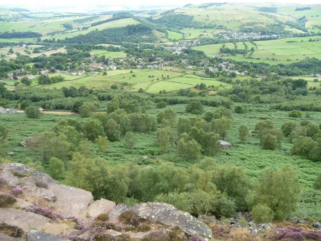
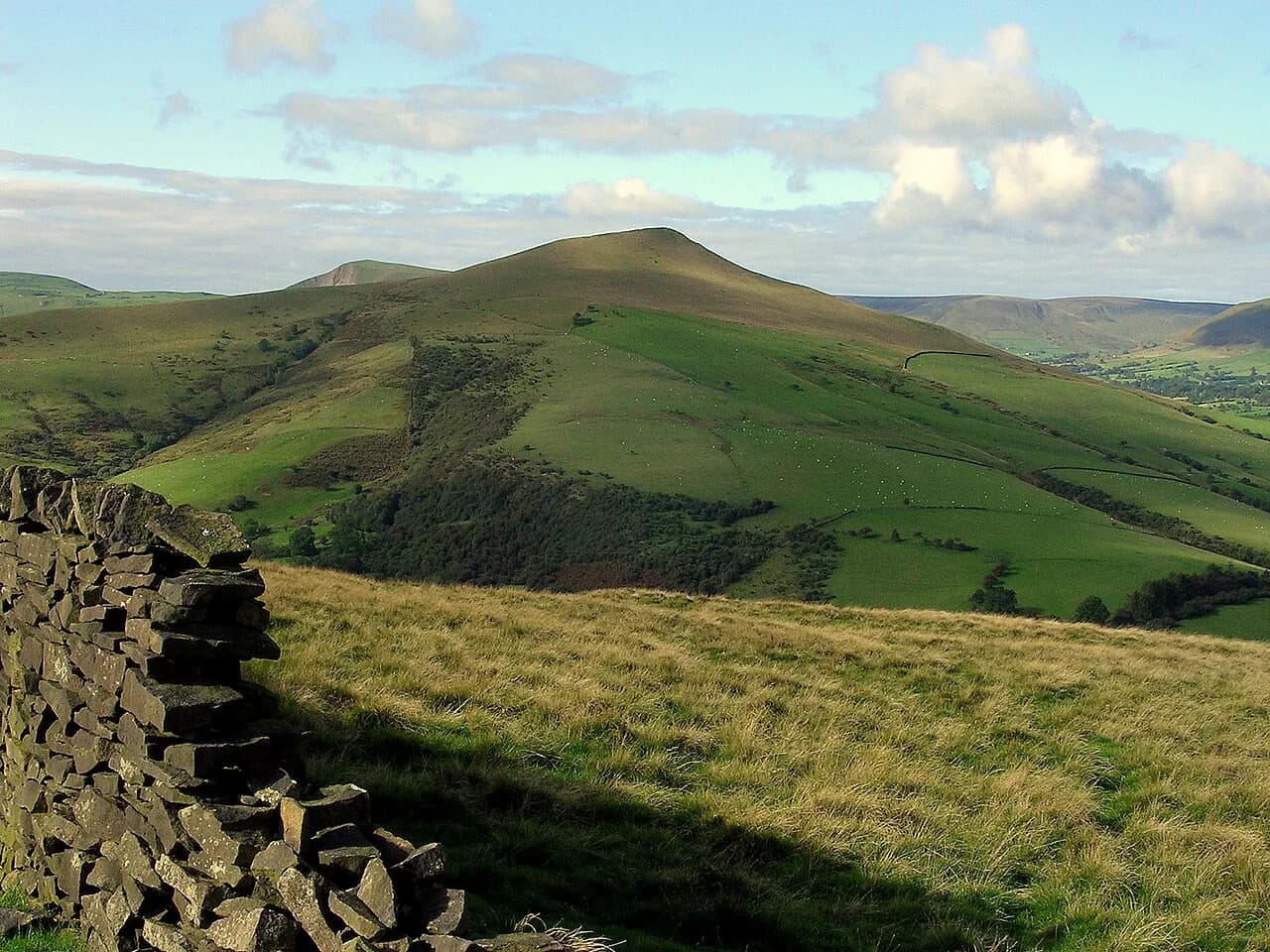
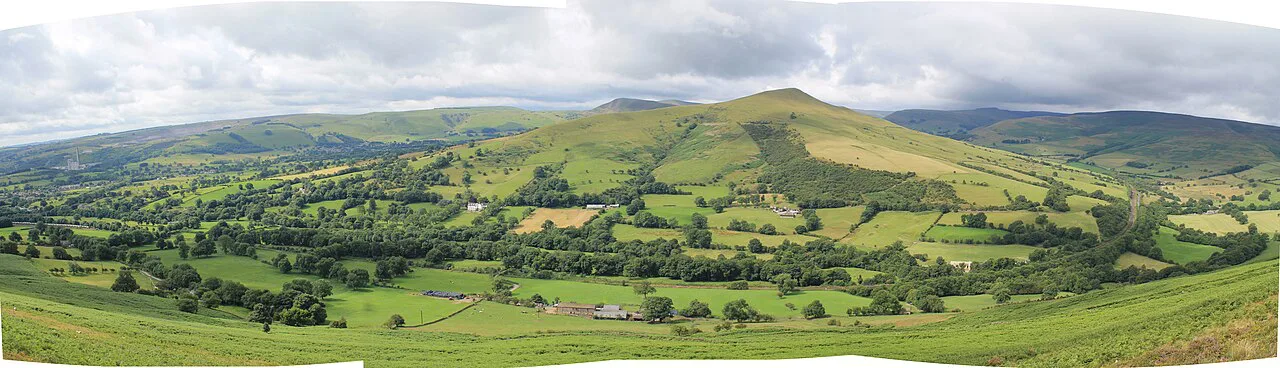
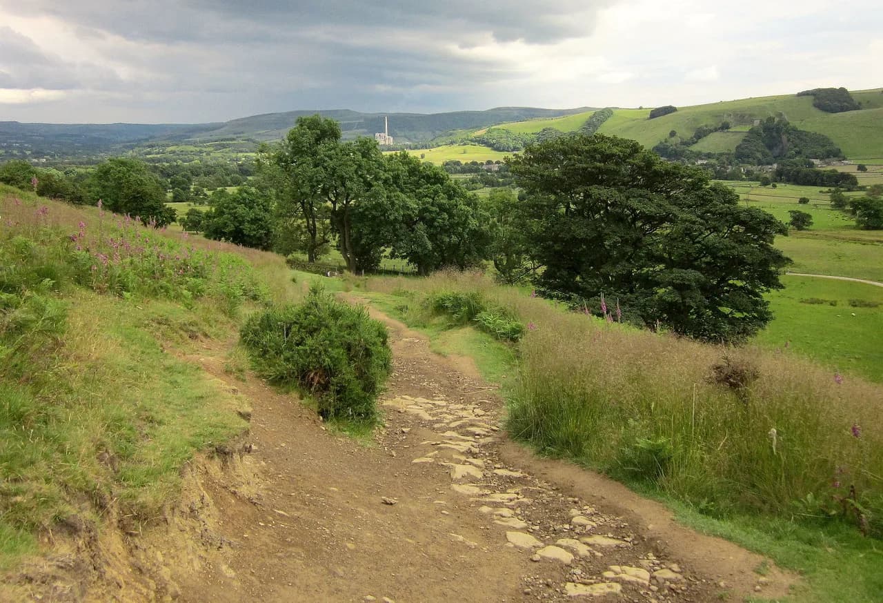
Lose Hill sits at the western end of the Great Ridge, the long grassy spine that separates Edale from the Hope Valley. The summit is marked by a large cylindrical stone and gives you a clear line of sight along the ridge to Back Tor and on to Mam Tor, so the route ahead is obvious on a clear day. The ridge is the highlight: you walk a flagstone path along the crest with views into both valleys, and you can see Edale village from the Hollins Cross junction.
The classic circuit from Castleton is 5 miles (8 km) with a total ascent of 376 m (1,233 ft) and takes 2–3 hours at a steady pace. That makes it a half-day outing rather than a full-day expedition, leaving time for a second walk or a long lunch in the village. If you want a longer day, a route linking Lose Hill with Mam Tor adds distance and a second summit.
Trailhead and parking at Castleton Visitor Centre
The walk starts at Castleton Visitor Centre on Buxton Road, grid reference SK 149 829, where there is a car park and public toilets. Parking is charged (£6 for 4–10 hours as of Feb 2023) and can be paid through the PaybyPhone app using location code 806748, so check the current rates on site when you arrive rather than relying on older figures. The visitor centre cafe opens at 10 am, which matters if you plan an early start and want breakfast before setting off.
The car park is the obvious base, but Castleton is a busy village on weekends and in peak season, so arrive early if you are driving in. The route leaves the village on foot, so once you have parked you do not need the car again until you return. If the main car park is full, the village has other parking options within walking distance of the start.
Getting there by train and bus from Hope station
The nearest train station is Hope, about 2 miles (3 km) from Castleton. From the main road outside the station you can catch the 271 or 272 bus into the village; the journey takes around 8 minutes, but the buses run roughly once an hour, so time your arrival around the timetable. That makes the train a realistic option for a day trip if you are willing to plan around a limited service.
If you miss the bus, the walk from Hope station into Castleton is straightforward on foot and adds a few kilometres to the day. Coming by public transport also saves you the parking charge and the worry of finding a space in a busy village. Either way, the trailhead is in the village centre, so you can start walking as soon as you arrive.
Distance, ascent and walking time at a glance
The circuit breaks into three stages: Castleton to Lose Hill summit is 2.2 miles (3.5 km), Lose Hill to Hollins Cross along the ridge is 1.2 miles (2 km), and Hollins Cross back to Castleton is 1.5 miles (2.5 km). The total ascent is 376 m (1,233 ft), with the highest point at 476 m (1,561 ft), and most walkers take 2–3 hours including photo stops. The climb to the summit is the steepest part, so budget more time for the first stage than the ridge itself.
Treat those figures as a guide for the standard route from the visitor centre. If you add Mam Tor or start from Hope instead, the distance and ascent will differ. A map and compass are worth carrying because the ridge is exposed and the paths below Hollins Cross split in several directions.
Route description: Castleton village to Lose Hill summit
From the visitor centre, turn left up the road and follow it past the shops and pubs, crossing over as the pavement ends. Continue out of the village over a small bridge, then look for a signpost pointing up a track on the left; follow the track to its end beside a tall stone wall. Turn right at the wall and look for the small gate and the path across the field, which can be muddy after rain.
The path crosses a stream on a wooden bridge and climbs across farmland through a series of gates. At a wooden fingerpost signed for Lose Hill, turn left and follow the steep grassy path up to the summit, marked by the large cylindrical stone. This is the hardest section of the day, and the ground is often wet underfoot, so take your time on the climb.
Route description: Lose Hill to Back Tor to Hollins Cross
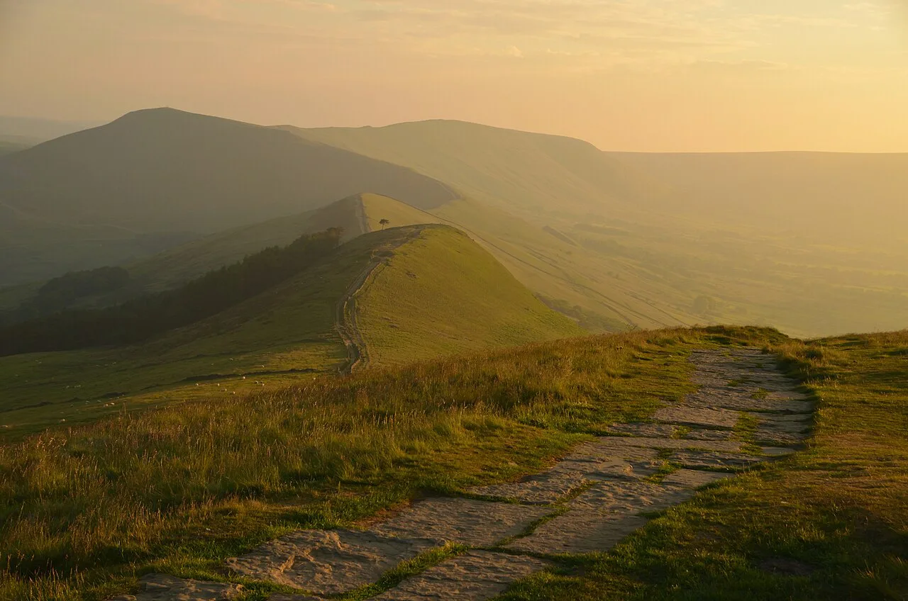
From the summit stone, follow the flagstone path along the ridge toward Back Tor. The walking is easy to navigate and the views open up in both directions, so this is the section to slow down and enjoy. As you approach Back Tor you pass a lone tree on the left above Brockett Booth Plantation, and from the top you can see Mam Tor at the end of the ridge.
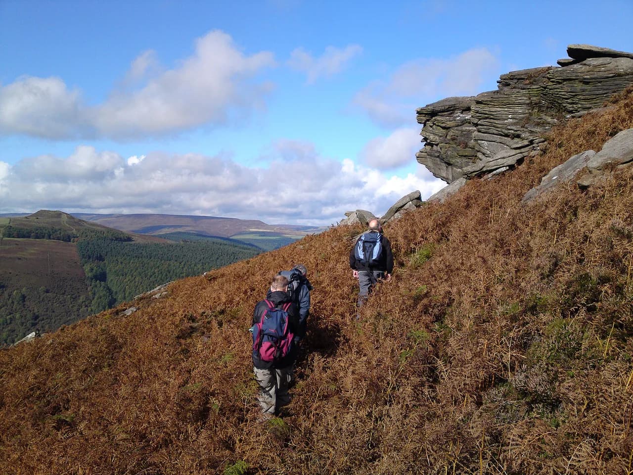
The descent from Back Tor is rocky and steep, though the path has been improved in places; take it steadily, especially if the rock is wet. Continue along the ridge through a gate until you reach the large stone marking Hollins Cross. There, several paths meet, so check your map before choosing the way down.
Route description: Hollins Cross back down to Castleton
At Hollins Cross, take the gate on the left beside the stone marker and follow the narrow rocky track down through gorse bushes. Pass through a small gate and a fingerpost, then follow the track toward Hollowford Road between hedges; this section can be wet and rocky after rain. Continue through a gate to the road, turn right at the T-junction, and follow the road back into Castleton and the visitor centre.
The return leg is only 1.5 miles (2.5 km), but the rocky lane below Hollins Cross is the least pleasant part of the circuit in wet weather. Walking poles help here. Back in the village, the pubs and cafes are within a few minutes of the car park.
The shorter low-level variant below the summit
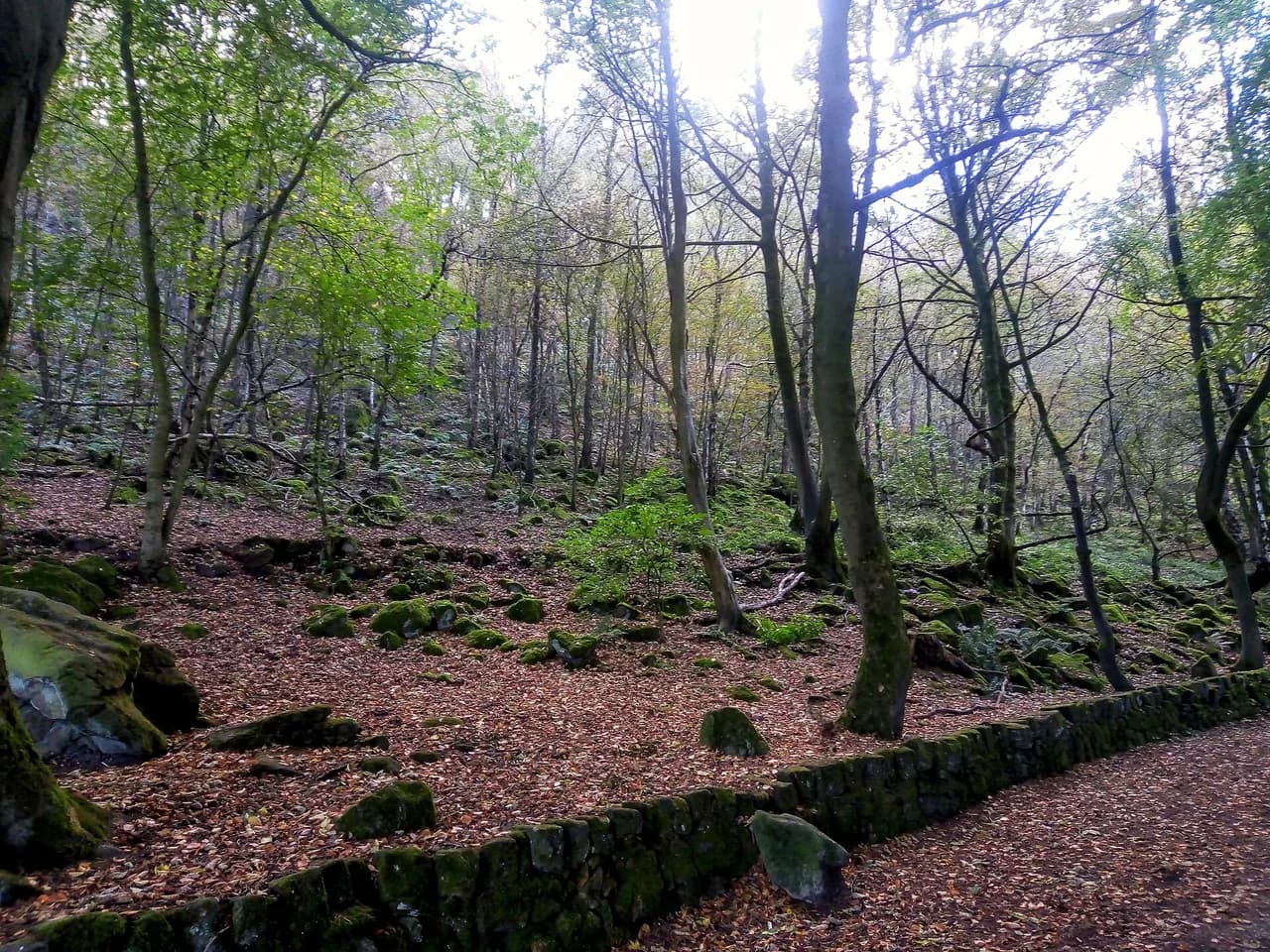
If you want to skip the steep climb to Lose Hill, there is a low-level path that branches left at the base of the hill and runs through Brockett Booth Plantation parallel to the ridge. It saves most of the 60–70 m (about 200–230 ft) of ascent and avoids the rocky descent from Back Tor, at the cost of only about 300 m (about 330 yards) of extra distance compared with the summit route. That makes it a sensible option on a windy day or when time is short.
The variant trades the summit views for an easier walk through the trees, so you still get a taste of the Great Ridge without the exposed top. It is a good fallback if the weather turns or if you are walking with someone who prefers to avoid steep ground. You can still rejoin the main route at Hollins Cross if you want the ridge experience.
Facilities, water and what to carry
There are public toilets at the visitor centre at the start and no other toilets on the route. The visitor centre cafe opens at 10 am, and the village has pubs, cafes and shops for after the walk. Carry enough water for the whole circuit, since there are no refill points on the ridge.
Pack waterproofs, warm layers and a paper map; the ridge is exposed and the weather can differ from the village. The route has some signposts, but a compass and the OL1 Peak District Dark Peak map are worth having for the junctions below Hollins Cross. In summer, sun protection matters on the open ridge.
When to go: seasons, weather and ground conditions
Spring and autumn give you the best balance of firm ground and clear views, while summer brings the busiest weekends and the warmest weather. Winter and wet spells leave the field sections muddy and the rocky lane below Hollins Cross slippery, so boots with grip are essential. The ridge is exposed to wind and rain, so check the forecast before setting out and turn back if conditions deteriorate.
The village and summit are popular, so start early or late if you want a quieter experience. Midweek days outside school holidays are the calmest. After heavy rain, expect standing water on the field paths and a wet, rocky descent to Castleton.
Extending the day toward Mam Tor
From Hollins Cross, the Great Ridge continues east toward Mam Tor, so you can extend the circuit to a second summit. That adds distance and ascent, and the full ridge to Mam Tor and back is a fuller day out. The ridge path is straightforward to follow, but the extra climb and descent mean you should allow more time and carry extra water.
If you extend, consider returning via the road or a lower path if the weather closes in, rather than retracing the exposed ridge. The ridge is the natural place to combine Lose Hill with a longer Great Ridge traverse. For a different day, the Monsal Trail offers an easier rail-trail walk with tunnels and viaducts in the White Peak.
Where to stay and eat in Castleton
Castleton is the obvious base, with pubs, cafes and a YHA hostel within walking distance of the start. Staying in the village lets you walk from the door and avoid the parking charge. Hope is an alternative base with a train station and a shorter ride to the trailhead.
Book accommodation early if you plan to visit on a summer weekend, when the village is at its busiest. Pubs such as Ye Olde Cheshire Cheese Inn sit on the route out of the village, making them an easy stop at the end of the day. For a broader base, the Dark Peak area has other villages with good access to the ridge.
Plan your Lose Hill walk
The 5-mile (8 km) circuit from Castleton is the best introduction to the Great Ridge, with a steep climb, a straightforward ridge walk and a short descent back to the village. It fits a half day, and you can shorten it with the low-level path or extend it toward Mam Tor if you want more. Use the bus from Hope if you are coming by train, and carry a map for the junctions below Hollins Cross.
For more walks in the area, the Peak District National Park has routes from the White Peak to the Dark Peak; use the Peak District Hiking guide to pick your next day. The key is to match the route to your time and the weather rather than trying to tick everything off in one visit.
Frequently Asked Questions
Is the Lose Hill walk from Castleton steep?
Yes. The path from Castleton to Lose Hill summit climbs steeply through grassy fields and is the hardest section of the circuit. The ridge from Lose Hill to Back Tor is easier to walk, though the descent from Back Tor is rocky and steep. If you want to avoid the climb, a low-level path runs through Brockett Booth Plantation below the ridge.
How long does it take to walk Lose Hill from Castleton?
The 5-mile circuit takes most walkers 2–3 hours at a steady pace, including stops. That covers the climb to the summit, the ridge walk to Back Tor and Hollins Cross, and the descent back to Castleton. If you extend the walk toward Mam Tor, allow extra time and carry more water.
Can you walk from Lose Hill to Mam Tor?
Yes. The ridge path continues from Hollins Cross toward Mam Tor, adding distance and ascent. From the Lose Hill side, you follow the flagstones to Back Tor and Hollins Cross, then continue along the crest. Check the weather and your timetable before extending, since the ridge is exposed.
Where do you park for the Lose Hill walk?
The most convenient car park is at Castleton Visitor Centre on Buxton Road. Parking is charged, and the visitor centre publishes current rates on site and through the PaybyPhone app. The village gets busy at weekends and in summer, so arrive early.
Can you reach Lose Hill by public transport?
Yes. Hope station is about 2 miles from Castleton, and the 271 or 272 bus runs from the main road outside the station into the village roughly once an hour. Check the timetable before you travel so you do not miss the connection. From the village, you can walk to the trailhead.
What should I carry on the Lose Hill walk?
Take waterproofs, warm layers, a paper map and compass, and enough water for the whole circuit. There are no refill points on the ridge, and the rocky lane below Hollins Cross can be wet. Boots with grip are essential after rain.
Sources
Trail notes for your next trip
Optional updates when we add or revise hiking guides.
You might also like
Continue reading
More guides you'll find useful