Bamford Edge Walk: Route, Parking and Distance
Plan the Bamford Edge walk from Ladybower Reservoir or Bamford station: distance, ascent, walking time, parking, the stage-by-stage route and the best months.
On this page
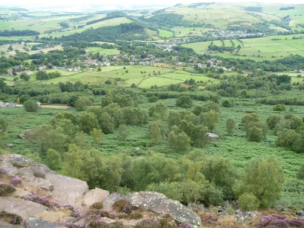
Bamford Edge gives you one of the Dark Peak's cleanest viewpoints: a broken line of gritstone towers and flat rocks set directly above Ladybower Reservoir, with Win Hill across the water. It suits hikers who want a big view for a modest climb, and it works equally well as a two-hour outing or as the first summit of a long day across three edges.
The choice you have to make is which version you walk. The direct ascent from the reservoir shore is short and steep; the full circuit adds Stanage Edge and Derwent Edge for 18.6 km (11.6 mi) and 678 m (2,224 ft) of ascent. A third option starts from Bamford railway station for a car-free day on the valley floor and lower slopes.
Where the walk starts and finishes
Most hikers start at Heatherdene car park on the A6013 at the western end of Ladybower Reservoir, grid reference SK 202 859. This is the natural start for the three-edge circuit, because the route leaves on foot from the car park, returns across the reservoir bridge and finishes a few steps from your car. The alternative start is Dennis Knoll car park on the Long Causeway above Bamford, a small free car park with no facilities that the circuit passes at the end of its second stage; beginning there cuts out the Ladybower approach but removes the toilets and the pub finish.
For a car-free version, Bamford station sits on the Hope Valley line and a waymarked round of about 10 km (6.2 mi) runs from the platform, taking roughly 2.5 to 3 hours on mostly level ground with some moderate gradients. That route stays lower than the edge itself, so treat it as a valley and lower-slope day rather than a substitute for the edge-top circuit; you still need to climb to the rocks for the classic view.
Trailhead and parking
Heatherdene is a medium-to-large pay-and-display car park taking cash and cards, with charges of £2.50 for up to two hours and £6 for all day. Public toilets stand at the car park entrance, which makes it the more comfortable base if you are travelling any distance or walking with children. Arrive early on fine weekends: Bamford Edge is a popular spot and the rocks get busy by mid-morning.
Dennis Knoll is the small, free, no-facilities alternative, reached by road from Bamford and sitting right on the circuit where the route crosses New Road. If you park there, you join the walk at the foot of Stanage Edge and can drop Bamford Edge or Derwent Edge depending on your time. The trade-off is plain: no toilets, no pub at the finish, and a smaller chance of finding a space late in the day.
A shorter direct outing to Bamford Edge from the reservoir side covers about 5 km (3.3 mi) round trip, with the direct climb taking one to two hours and a longer circular version three to four hours. That makes Heatherdene the sensible base when you have half a day rather than a full one.
Distance, ascent and time
The full Bamford Edge, Stanage Edge and Derwent Edge circuit is 18.6 km (11.6 mi) with 678 m (2,224 ft) of total ascent, and the route page allows six to seven hours of walking. The high point on the circuit is High Neb on Stanage Edge at 458 m (1,503 ft), though the route's overall highest point is given as 481 m (1,578 ft). Budget the upper end of that range if you like stopping on the rocks, and add time for the short detour to the Wheel Stones.
There are five stiles on the circuit and one trig point, High Neb, which also counts as a Peak District Ethel. The stage lengths break down as 2.6 km (1.6 mi) from Ladybower to Bamford Edge, 5.7 km (3.5 mi) on to Stanage Edge, 6.5 km (4 mi) across to Derwent Edge and 3.7 km (2.3 mi) back down to the reservoir.
Route description: Ladybower Reservoir to Bamford Edge
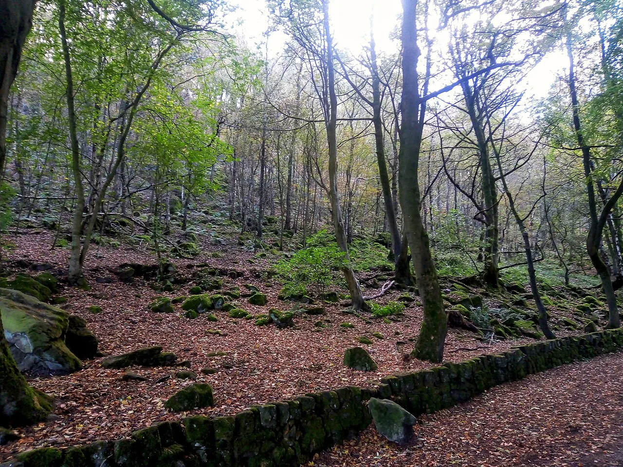
From Heatherdene, walk past the toilet block and take the wide path running parallel to the road beneath the trees, then turn left at the junction and climb straight up through woodland away from the water. The path crosses a small wooden bridge, passes a stile beside a stone wall and continues uphill through a gap in the wall. Near the top, turn right and follow the path for about a kilometre until the gritstone appears on your left at Bamford Edge.
The edge itself is a line of rocks rather than a single summit, so walk along it and pick your spot. The view back over Ladybower to Win Hill is the reason most people come, and it opens up within a few steps of gaining the crest.
Bamford Edge to Stanage Edge and High Neb
Continue southeast along the edge, then drop on a path toward New Road and cross the stile to the road. Turn left and follow the road to the cattle grid at Dennis Knoll car park, skirt the green barrier and climb the path as it bends right up to Stanage Edge. Once on top, take the rocky path to the left along the crest; it widens and can be muddy in places, and after about 1.5 km you reach the High Neb trig point.
High Neb is the highest point of Stanage Edge and the spot to linger, with the Kinder plateau and the Hope Valley spread out beyond. The walk along the top is straightforward on good ground but the edge is exposed, so a windproof layer earns its place even on a still morning in the valley.
Stanage Edge to Derwent Edge and the Wheel Stones
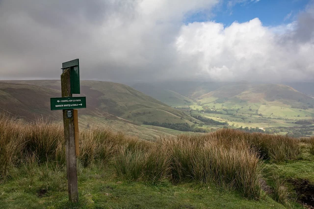
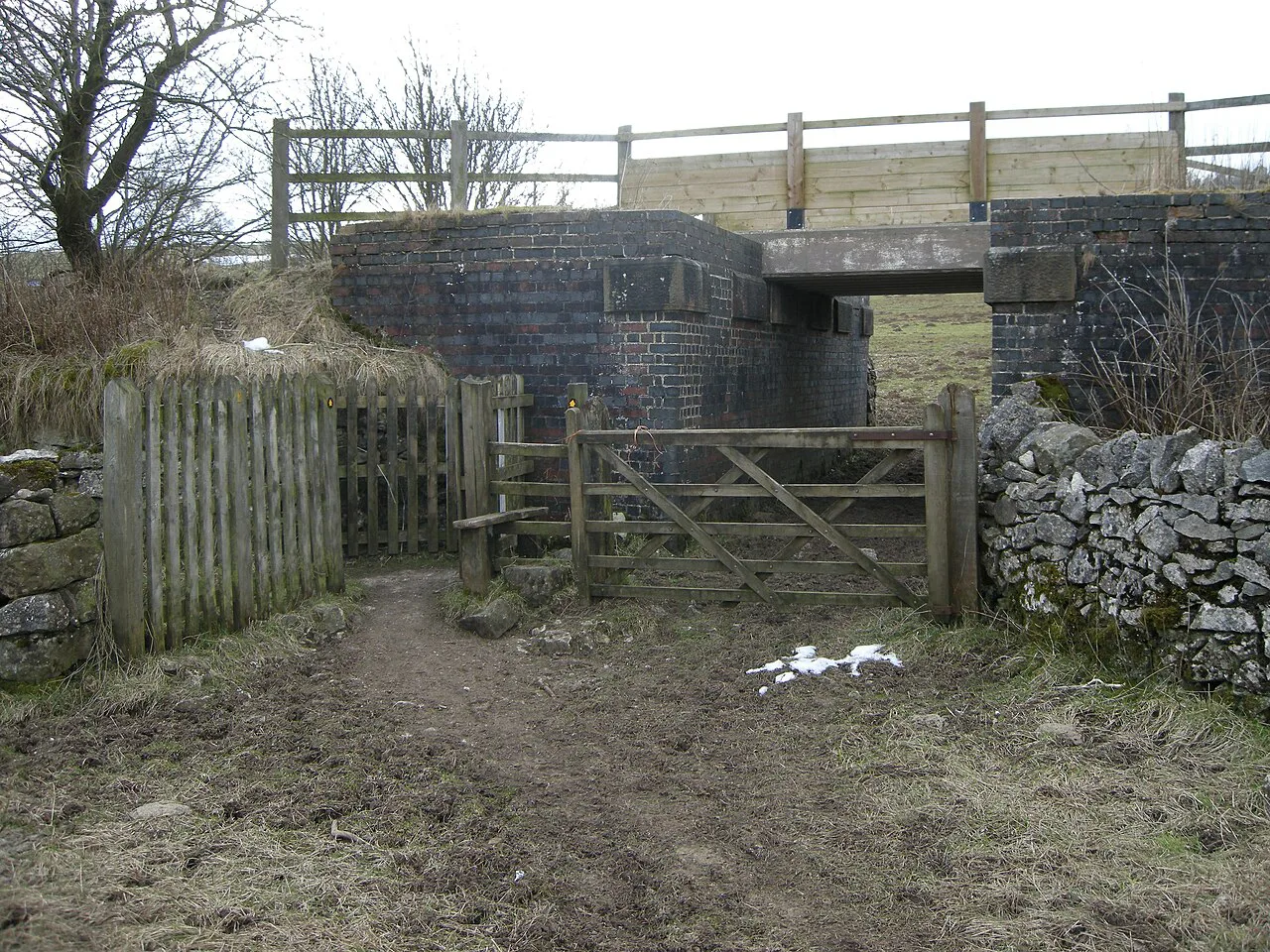
From the trig, continue about 1.5 km to the old quarry area and take the left-hand path onto the Sheffield Country Walk, dropping past the back of a footpath sign. You then join the road for roughly 500 m on a narrow grassy verge, the least pleasant stretch of the day but a short one, before crossing and following the side road on the right to a signed path for Derwent Edge. The track drops past a house, crosses a brook that can be awkward after rain, and climbs beside a wall under pylons before reaching the main Derwent Edge path.
Turn right at the top for the Wheel Stones, about 500 m out and back, a cluster of weathered tors worth the detour for a break. The heather on this stretch is at its best in late summer, when the whole slope above the reservoir turns purple.
Derwent Edge back to Ladybower Reservoir
From the Wheel Stones return to the cairn with the footpath signpost and continue straight, with fine views of Ladybower opening below. Follow the path around the edge to a junction of several paths, keep straight over Lead Hill, then descend a rocky path toward the reservoir. At the bottom, turn left through a wooden gate and follow the path as it turns sharply right down to the road; a steeper short cut drops directly if your legs are tiring.
At the road, turn right past the Ladybower Inn and cross the bridge on the pavement alongside the water, then continue to the Heatherdene entrance and your car. That final pavement stretch makes a good cool-down, and the pub sits conveniently between the last descent and the car park.
How to shorten the walk
Options for cutting the day are limited, but the most obvious is to skip the out-and-back to the Wheel Stones on Derwent Edge, which saves about 1 km (0.6 mi) without losing any other highlight. The other lever is the start: parking at Dennis Knoll removes the Ladybower approach and the final reservoir-side pavement, leaving a shorter edge-top circuit.
If you only have an afternoon, forget the circuit and climb straight to Bamford Edge from Heatherdene, then walk a stretch of the crest and return the same way. You still get the Win Hill and reservoir panorama, and you avoid the road verge entirely.
Surface and footing
The path along the top of Stanage Edge is muddy and wet in sections, and the ground after the road crossing toward Derwent Edge can be very boggy. Waterproof footwear is the practical answer rather than a luxury, especially outside a dry summer spell. The short road verge follows, so keep your group tight and single file where the grass narrows.
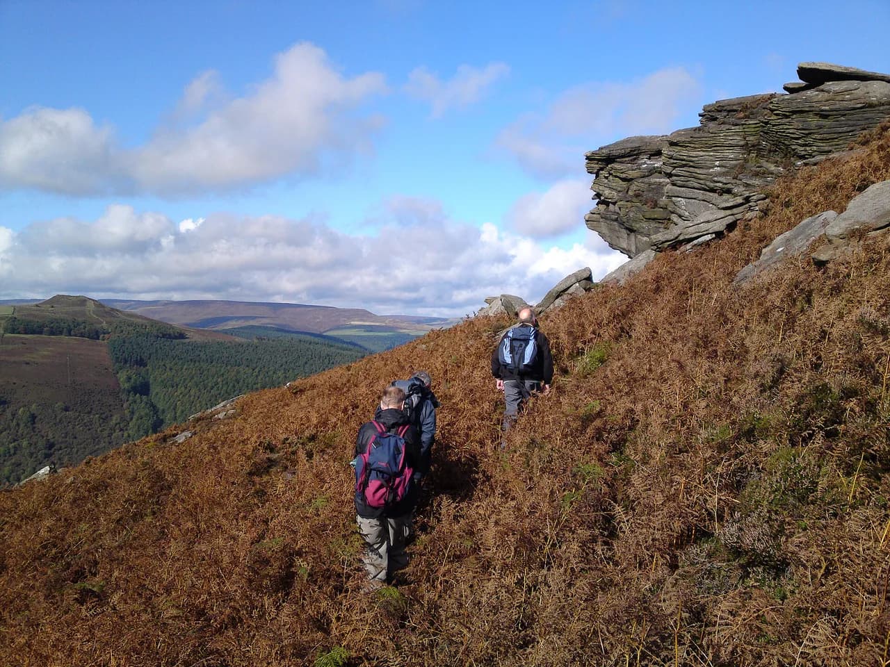
Gritstone edges grip well when dry but turn slick when wet, and the rocks below Bamford Edge and the Wheel Stones invite scrambling about on surfaces that are higher and more exposed than they look. Stay back from the top of the crags and keep an eye on anyone exploring the tors.
When to go
Late summer and early autumn suit this walk best: the heather is in flower on Derwent Edge and the ground has usually dried out from winter. Spring is quieter and the woods below Bamford Edge are fresh, but expect wet patches underfoot on the Stanage crest. Winter days are short and the edge tops catch wind and snow, so save the full circuit for a long daylight window.
Edge-top weather in the Dark Peak differs from the valley, so read a forecast for High Neb rather than for Bamford village before setting out. Check conditions the evening before and again in the morning, and carry a paper map and compass; the OS OL1 Dark Peak sheet covers the whole route.
Facilities on the route
Public toilets are available at Heatherdene car park at the start, but there is nothing on the edge tops, so carry all the water you need for the day. Two pubs sit near the end of the circuit, the Ladybower Inn just before the bridge and the Yorkshire Bridge just after, both useful for a post-walk meal. Take all your rubbish home and leave gates as you find them.
Bamford and the Hope Valley villages make the most practical bases for this walk, with Bamford station offering a train-based alternative. If you want a contrasting day on easier ground afterwards, the Monsal Trail gives a gentle railbed route through the limestone dales, and Castleton walks reach Cave Dale and Peveril Castle from a village base.
Bamford Edge walk difficulty and who it suits
The direct climb to Bamford Edge is short, steep and suitable for most regular walkers, including older children who are happy on uneven ground. The three-edge circuit is a different proposition: nearly 19 km, almost 700 m of ascent and six to seven hours on mixed surfaces, with a boggy stretch and a short road walk. Come to it with hill fitness and a full day available.
If you want a shorter Dark Peak day with a big payoff, the Great Ridge traverse from Castleton or Edale offers a comparable ridge walk with more escape routes. For a similar choice between short and long versions of a classic edge walk, see hiking in Yorkshire Dales. The three-edge circuit rewards you with variety instead: a reservoir balcony, a trig on a famous edge, and the tors of Derwent Edge in one loop.
Plan Your Visit
Decide first whether you want the short Bamford Edge climb or the full three-edge day, because that choice fixes your car park, your start time and your footwear. Heatherdene gives you toilets, a paid space and a pub finish; Dennis Knoll gives you a free space and a shorter loop.
Build the walk around a High Neb forecast, start early enough for six to seven hours on the circuit, and keep the waterproof boots on for the Stanage and Derwent Edge sections. The reservoir, the trig and the Wheel Stones are the three fixed points of the day; everything else is timing.
Frequently Asked Questions
How long does it take to walk up Bamford Edge?
From the Ladybower Reservoir side, the direct ascent is usually walked in one to two hours, while a longer circular version takes three to four hours. Allow more if you stop along the crest for photographs.
Is the Bamford Edge walk difficult?
The direct climb is short and steep but manageable for regular walkers. The full circuit over Bamford Edge, Stanage Edge and Derwent Edge is a long hill day with significant ascent, muddy sections and a short road stretch, so it suits hikers with hill fitness and a full day.
Where do you park for the Bamford Edge walk?
Heatherdene car park at Ladybower Reservoir is the main trailhead, with toilets and pay-and-display spaces. Dennis Knoll car park above Bamford is smaller and free but has no facilities and sits further along the route.
Can you walk to Bamford Edge from Bamford station?
A waymarked round of roughly 10 km starts and finishes at Bamford station, taking about 2.5 to 3 hours on mostly level ground with moderate gradients. It stays lower than the edge, so you need to add the climb if the rocks are your goal.
How long is the Bamford Edge circular walk?
The three-edge circuit from Ladybower Reservoir is 18.6 km (11.6 mi) with 678 m (2,224 ft) of ascent, usually walked in six to seven hours. A shorter reservoir-side round of about 5 km (3.3 mi) reaches Bamford Edge on its own.
When is the best time to walk Bamford Edge?
Late summer and early autumn give flowering heather on Derwent Edge and generally drier ground. Spring is quieter but wetter underfoot on the Stanage crest, and winter days are too short for the full circuit unless you start early.
Sources
Trail notes for your next trip
Optional updates when we add or revise hiking guides.
You might also like
Continue reading
More guides you'll find useful