Win Hill Walk: Routes from Ladybower, Hope and Edale
Plan a Win Hill walk in the Peak District with routes from Ladybower Reservoir, Hope and Edale, plus distance, ascent, walking time and trailhead access.
On this page
Win Hill stands on the southern edge of the Dark Peak, looking straight down the Hope Valley toward Edale and across the water of Ladybower Reservoir. It suits hikers who want a real summit day without the crowds of Mam Tor, and it works equally well as a half-day outing or the backbone of a longer ridge walk. The hill has several distinct approaches, and the one you choose changes the character of the day more than the summit itself does.
Most people start from the reservoir, where the climbing is gradual and the views open up early; the Yorkshire Bridge approach is the opposite, short and unrelenting. Between those two extremes sit linear routes that finish at a train station and loops that add Crook Hill or Lose Hill. Pick your route by how much ascent you want in your legs, not just by total distance.
Where Win Hill sits above the Hope Valley
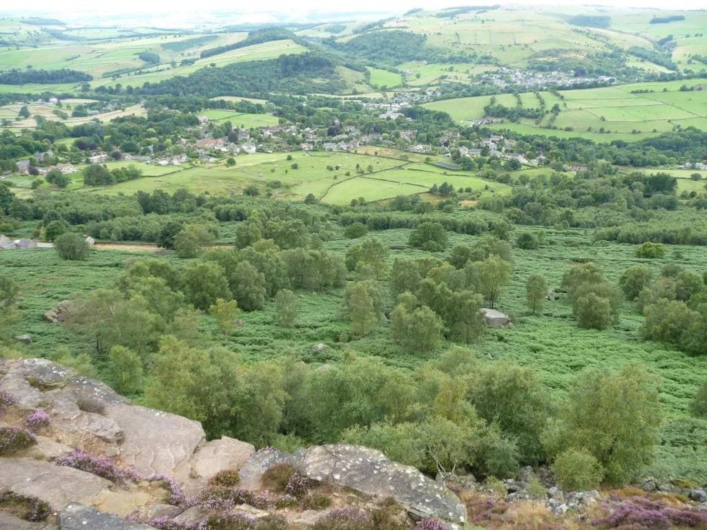
Win Hill overlooks the Hope Valley from the north, with Ladybower Reservoir below its southern flanks and the village of Hope to the east. Its summit ridge gives long views along the valley toward Edale and back across the water to Crook Hill, which is why the hill appears on so many viewpoint lists for the national park. For a wider menu of valley and ridge days, the hiking guide to the Peak District National Park sets Win Hill among the Dark Peak options.
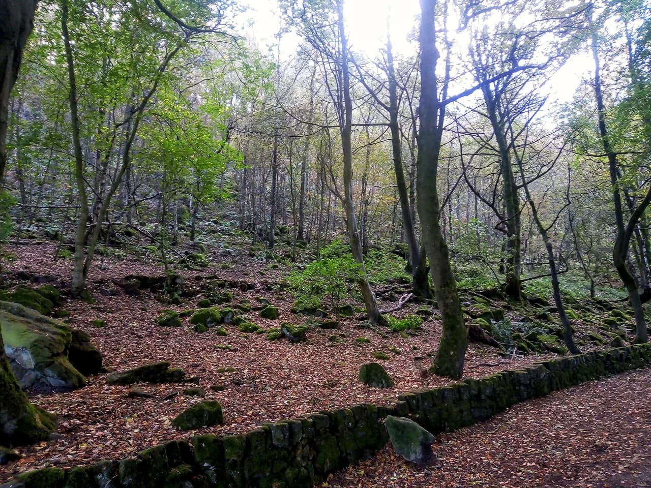
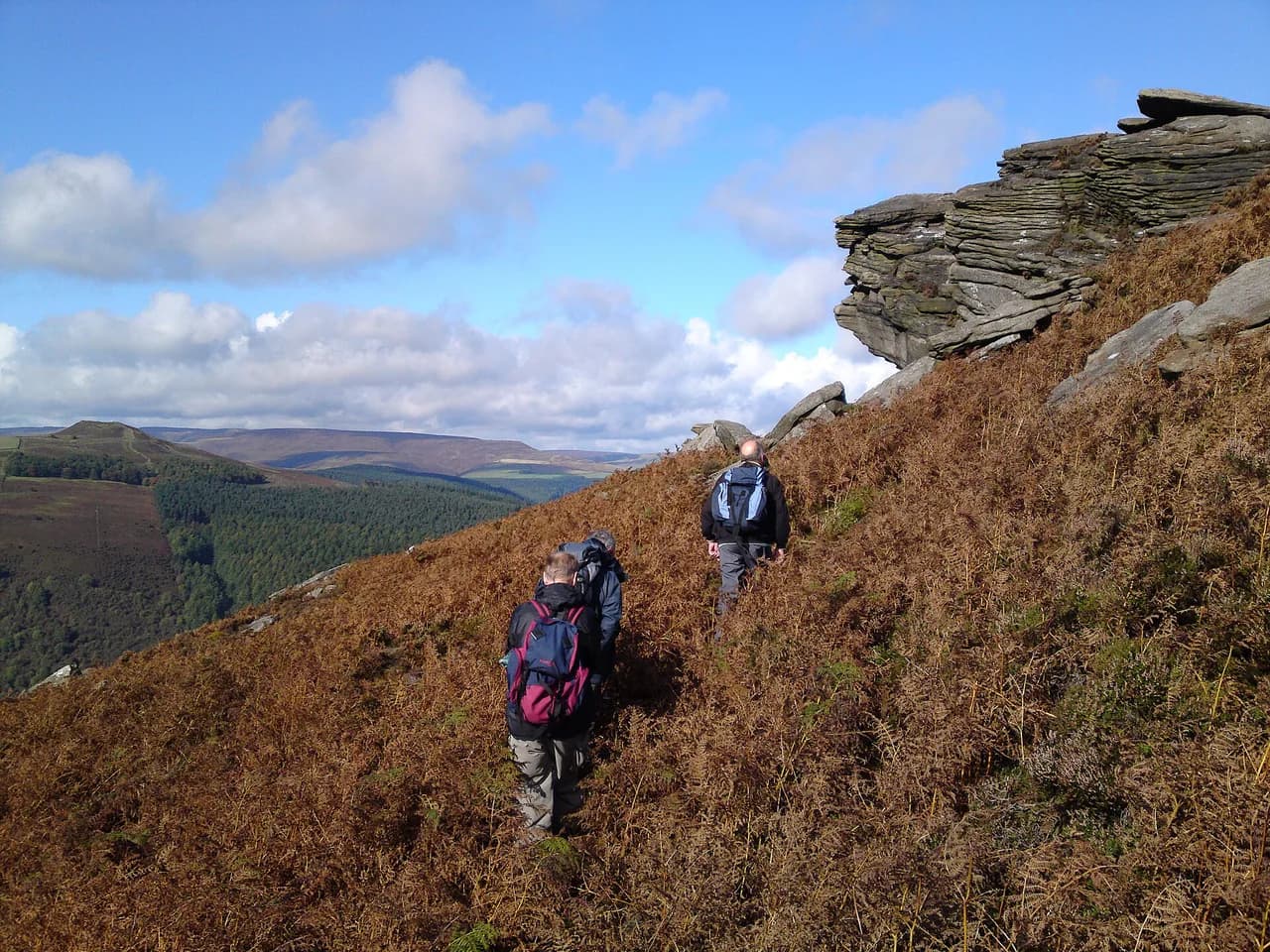
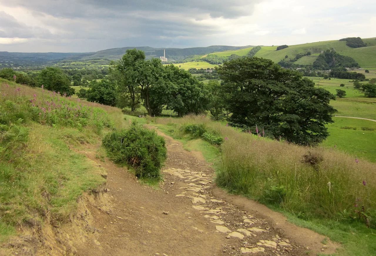
The hill is heather moorland on top with wooded and bracken-covered slopes below, so the ground underfoot changes noticeably between the approach and the summit plateau. That mix means a spring or autumn walk feels quite different from a high-summer one, and it also means the descents can be slippery after rain. Treat Win Hill as a small mountain rather than a park stroll, even though it sits close to a main road.
Win Hill trailheads: Heatherdene, Yorkshire Bridge and Hope
The most popular start is Heatherdene car park beside Ladybower Reservoir, which puts you on the reservoir path almost immediately and gives access to the short circuit as well as longer loops. Yorkshire Bridge, at the northern end of the dam, is the launch point for the direct ascent up Parkin Clough. Hope village, with its railway station on the Hope Valley line, serves the eastern approaches and the linear routes.
Travelling by train makes the eastern routes genuinely car-free: Hope station sits a short walk from the village centre, and Edale station is a stop further up the valley, which is what makes a one-way Hope-to-Edale day possible. If you park at Heatherdene or Yorkshire Bridge, plan to return to the same spot unless you have arranged a second car or a lift. Check current train times with Northern, which runs the Hope Valley line services, before committing to a linear route, since the day depends on catching a service back.
Route 1: Win Hill from Ladybower Reservoir
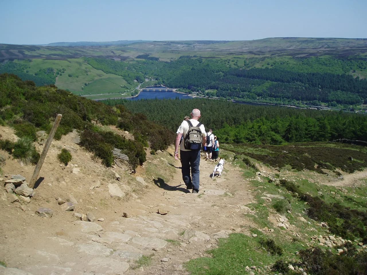
The short reservoir route is a 6-mile (9.7 km) outing from Heatherdene car park, following the reservoir path past the plugholes before turning up toward the hill. It gives you views across to Crook Hill for much of the walk and keeps the climbing spread over a longer distance than the direct ascent. This is the option to choose if you want a summit without a punishing gradient.
Because the route starts at a reservoir car park and loops back to it, logistics are simple and the walk can be shortened on the day if the weather turns. The trade-off is that the reservoir path is busy in fine weather, and the upper slopes can be boggy where the trail crosses open moor. Wear boots with grip and carry a map, since the moorland edge above the water has several faint paths.
Route 2: Win Hill from Yorkshire Bridge
From Yorkshire Bridge the direct line to the summit climbs 300 m (980 ft) in just 1.2 km (0.75 mi) through Parkin Clough, first through woodland and then over open moor to the top. That is a serious gradient, and it is the fastest way up the hill rather than the easiest. Choose it if you want a short, hard workout and are comfortable on steep ground.
The clough is shaded and often damp underfoot, so the climb feels cooler than the exposed summit ridge even on a warm day. Once out of the trees, the angle eases only slightly before the summit, and the reward is the view back over the reservoir. Descending the same way demands care on wet roots and loose grit, so a walking pole helps.
Route 3: Win Hill and Crook Hill from Ladybower
The 9-mile (14.5 km) loop from Ladybower Reservoir adds Crook Hill to the day and takes in a trig point along the way. It suits hikers who have already done the short circuit and want more time on the moor with a second summit to aim for. The route is listed as a medium walk from the reservoir, and the extra hill adds distance rather than technical difficulty.
Because both hills sit above the same water, the views stay open for most of the day and navigation is straightforward in clear weather. In low cloud, though, the moorland between the two tops gives few landmarks, so carry a compass and know your bearing back to the reservoir. This is the best route for a photographer chasing heather color in late summer.
Route 4: Lose Hill and Win Hill from Edale
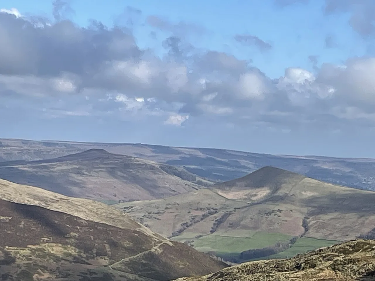
Starting at Edale, the 12-mile (19.3 km) circular links Lose Hill and Win Hill in one route, making it the big day out among the shorter options here. It is listed as a medium walk from Edale, but the accumulated climbing over two summits makes it a proper leg-stretcher. Hikers who want the classic Great Ridge day with more variety could compare it with the Mam Tor walk before deciding.
Edale gives you a village start with accommodation and a station, so the route works well as the centerpiece of a weekend. The ridge sections are exposed to wind and rain, and the descent off the second summit is long enough to test tired legs. Start early, and save enough energy for the final pull.
Route 5: Hope to Edale via Win Hill and Kinder
The linear 9-mile (14.5 km) route from Hope to Edale takes in Win Hill, Crookstone Hill and the Kinder Plateau before dropping to the Edale valley. It is designed as a train walk, which means you can leave the car at home and use Hope and Edale stations at either end. The route is listed as a medium linear walk using the Hope Valley line.
This is the most varied of the Win Hill days, combining moorland ridge, plateau edge and a valley finish, but it also demands the best navigation of the group. The Kinder Plateau section is featureless in poor visibility, so carry a map and compass and know your escape line down to Edale. Check the return train times before you set off so the day does not end with a long road walk.
Distance, ascent and walking time
For a benchmark, the Win Hill walk from Hope covers 6.5 miles (10.6 km) with 1,100 ft (333 m) of ascent and takes about 4 hours at an easy-to-moderate pace. Use that as your baseline: the Yorkshire Bridge climb packs roughly the same height gain into a fraction of the distance, while the longer loops add distance and extra summits on top.
Allow more time than the raw distance suggests on the 9-mile and 12-mile routes, because moorland ground is slower than trail and the tops are exposed. A 12-mile day with two summits is a full day out for most hikers, while the 6-mile reservoir circuit fits comfortably into a morning or afternoon.
Route description: clough, moor edge and summit
Whichever approach you take, the pattern is similar: a sheltered climb through woodland or along the water, a transition onto open moor, then a final pull to the summit ridge. Named landmarks help you track progress, including the plugholes on the reservoir path, Parkin Clough on the direct ascent, and Crook Hill across the water. The ridge itself is the place to linger, with views both up the Hope Valley and back over Ladybower.
Descents are where most accidents happen on this hill: the steep clough line is hard on the knees, and the moorland paths can be greasy after rain. Take the descent steadily, and in winter treat the upper slopes as snow country, since a dusting on the moor changes the ground completely. A short detour to Bamford Edge makes a fine add-on from some approaches, and the Bamford Edge walk page covers that gritstone edge if you want to extend the day.
Pubs and villages to base a Win Hill walk on
Hope and Edale are the most convenient bases for the eastern routes, with the Hope Valley line connecting them and village facilities at both ends of the linear walk. Castleton, a little further west, gives you access to the Great Ridge and a wider range of accommodation for a longer stay. Hathersage suits hikers approaching from the reservoir side and puts you close to Stanage Edge for a second day.
For a different valley day, the monsal trail runs on a former railway through the White Peak and makes an easy companion outing when your legs need a break from climbing. Base yourself in one village for the whole trip and drive or take the train to the different trailheads rather than moving hotels. That keeps the logistics simple and leaves more daylight for the hills.
When to go: heather, ground and daylight
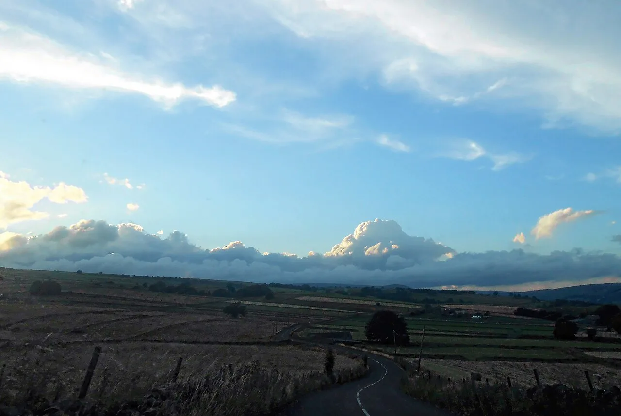
Late summer is the classic season for Win Hill, when the heather is in bloom across the moor and the views from the ridge are at their best. Spring and autumn give quieter paths and cooler climbing, but the moorland sections stay wet for longer after rain. Winter is feasible on the lower routes but demands early starts, because daylight on the Dark Peak is short and the summit is no place to be at dusk.
Afternoon storms are a real feature of the Dark Peak in summer, and the exposed ridge offers little shelter once you are above the trees. Plan to be off the summit by early afternoon on unstable days, and carry a waterproof shell even when the morning forecast looks settled. Snow and ice on the upper slopes in winter call for appropriate footwear or a change of plan.
Getting back: trains and the return to Heatherdene
The Hope Valley line is the key to the linear routes: Hope and Edale stations sit at either end of the 9-mile route, so you can walk one way and ride back. Trains on this line are not frequent enough to turn up without checking, so confirm the day's timetable before you start and build in a buffer at the finish. For the circular routes from Heatherdene and Yorkshire Bridge, you simply return to your car.
If you are relying on the train, buy your ticket at the start and keep an eye on the clock on the final descent into Edale. A missed service on a winter afternoon means a long wait or an expensive taxi, so choose a route length you can comfortably finish with time to spare.
Fitting Win Hill into a longer Dark Peak day
Win Hill works well as one link in a bigger Dark Peak circuit: the Edale Skyline long-distance challenge takes in the ridges and hills around the Hope Valley, including Win Hill, Lose Hill and Kinder Scout, and is a 20-mile (32 km) proposition for experienced hikers. Treat that as a step up from the day routes here, with more ascent, more exposure and a much longer day.
A more moderate combination is to pair Win Hill with the Great Ridge from Castleton, using the valley villages as staging points. Either way, the hill is best treated as part of a ridge day rather than an isolated tick, because the connecting ground is where the views and the quiet are. Save the big link-ups for settled weather and good fitness.
Plan Your Win Hill Walk
Choose the 6-mile reservoir circuit if you want a straightforward summit day with easy logistics, the Yorkshire Bridge climb if you want steep and short, and the 9-mile or 12-mile loops if you want a full day on the moor. The Hope-to-Edale linear route is the best pick for car-free hikers who enjoy ridge variety. If you are weighing up a similar set of summit-and-ridge options further north, the Yorkshire Dales hiking guide applies the same distance-by-level thinking to that national park.
Whichever you choose, start early, carry a map and waterproofs, and check current train times if your route ends at a station.
Frequently Asked Questions
How long does it take to climb Win Hill?
The Win Hill walk from Hope covers 6.5 miles (10.6 km) with 1,100 ft (333 m) of ascent and takes about 4 hours at an easy-to-moderate pace. The direct ascent from Yorkshire Bridge is much shorter in distance but far steeper, while the 9-mile and 12-mile loops take most of a day.
How far is the Win Hill walk from Ladybower Reservoir?
The short circuit from Heatherdene car park is a 6-mile (9.7 km) route that follows the reservoir path past the plugholes before climbing to the summit. A longer 9-mile (14.5 km) version adds Crook Hill and a trig point to the day.
Where do you park for a Win Hill walk?
Heatherdene car park beside Ladybower Reservoir is the main start for the reservoir routes, and Yorkshire Bridge at the northern end of the dam serves the direct climb up Parkin Clough. Hope village, with its railway station, is the base for the eastern and linear routes.
Can you walk to Win Hill from Hope station?
Yes. Hope station sits close to the village centre, and the walk from Hope to Win Hill is the 6.5-mile (10.6 km) route with about 1,100 ft (333 m) of ascent. A linear 9-mile (14.5 km) option continues over Crookstone Hill and the Kinder Plateau to finish at Edale station.
Is the Win Hill climb steep?
The ascent from Yorkshire Bridge climbs 300 m (980 ft) in just 1.2 km (0.75 mi) through Parkin Clough, which is steep and sustained. Approaches from the reservoir and from Hope spread the climbing over a longer distance and feel much gentler.
What is the Win Hill and Crook Hill route?
It is a 9-mile (14.5 km) loop from Ladybower Reservoir that takes in both Win Hill and Crook Hill, with a trig point along the way. The extra summit adds distance to the short reservoir circuit without adding technical difficulty.
Sources
Trail notes for your next trip
Optional updates when we add or revise hiking guides.
You might also like
Continue reading
More guides you'll find useful