Easy Walks in Peak District: Choose Your Ideal Route
Twelve easy Peak District walks, from flat dales and reservoir paths to short edge climbs, with distances, ascent and terrain for each route.
On this page
The Peak District packs gritstone edges, limestone gorges, reservoir shorelines and heather moorland into Britain's oldest national park, and much of it is reachable on short days with modest climbing. This list splits the easiest routes into three groups: flat valley and reservoir paths, short edge climbs with one sustained pull, and dale walks with gentle undulation. Match the group to your fitness and mood first, then pick by scenery. If you are weighing up another low-ascent region, these easy walks in brecon beacons follow the same logic of grouping routes by effort.
Distances, ascent and walking times below come from route guides that describe the terrain in detail, so use them to judge effort rather than as survey data. Between them the routes cover the Dark Peak around Hathersage, Castleton and the Derwent reservoirs, and the White Peak around Bakewell, Ashbourne and Buxton. Most start from a layby, village car park or visitor centre, so plan the approach before you set out.
Monsal Head and the Monsal Trail
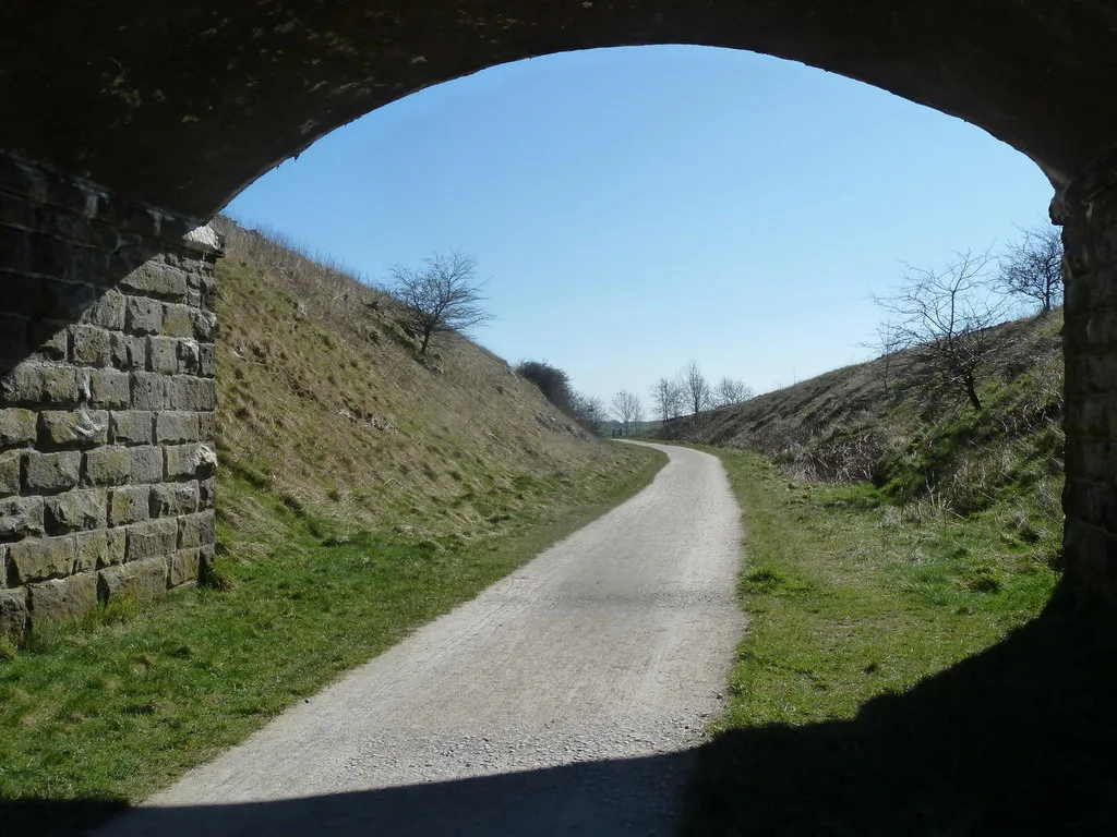
A 1.5 to 2 mile (2.4 to 3.2 km) circuit from Monsal Head takes about 45 minutes to an hour with 126 m (413 ft) of ascent. You cross the viaduct for views down into Monsal Dale and over the trail, drop to the River Wye and Monsal Weir, then walk beneath the arches before climbing back. A pub, cafe and ice-cream stand wait at the finish, which makes this a strong half-day option.
The wider Monsal Trail runs 8.5 miles (13.7 km) on a traffic-free former railway, with tunnels, bridges and a cafe and museum in the old ticket station and goods shed. It has multiple access points and cycle hire, so you can walk a short out-and-back section instead of the full length. This is the pick for mixed-ability groups who want an obvious, level path.
Derwent Dam and Ladybower Reservoir from Fairholmes
From Fairholmes Visitor Centre in the Upper Derwent Valley, a 6 mile (9.7 km) route around part of Ladybower Reservoir takes 2 to 3 hours with 172 m (564 ft) of ascent. The path is low-level and stile-free, which suits almost everyone, though there are steps that force a short detour for wheelchairs and pushchairs. Walk it in either direction and you get repeated water views with the dam as the anchor.
If you want a shorter outing, a 1.4 mile (2.3 km) circuit with 50 m (164 ft) of ascent stays close to the reservoir and river, with one staircase and otherwise flat going. Autumn is the draw here, when the woodland above the water turns. The long reservoir shore and the wooded valley make this the most forgiving family day in the Dark Peak.
Damflask Reservoir from Low Bradfield
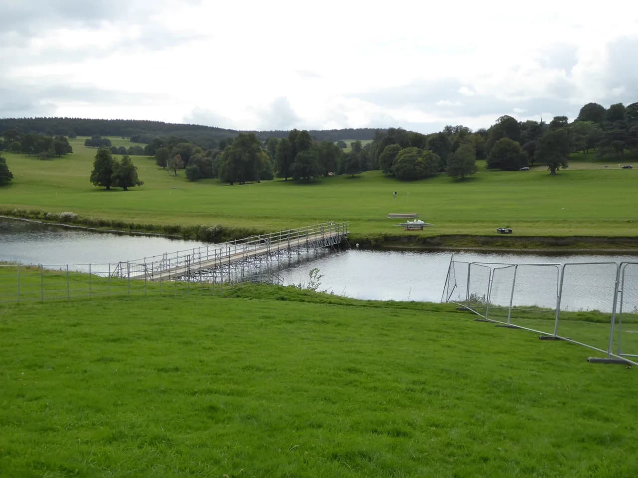
The 3.9 mile (6.3 km) loop around Damflask Reservoir from Low Bradfield climbs just 37 m (121 ft) and takes 1.5 to 2 hours, making it the flattest full circuit in this selection. There are no stiles, so an off-road pushchair or wheelchair that can handle mud and slight inclines will manage. On a still day the reflections across the water carry the walk.
Low Bradfield sits west of Sheffield, and the reservoir path is a complete circuit rather than an out-and-back. Expect mud after rain and keep to the marked line where the ground softens. It suits a short winter day when higher edges are windy and wet.
Ilam Park circular
The Ilam Park circuit is a 1 mile (1.6 km) loop with 20 m (66 ft) of ascent that begins by crossing grazing land before following the river. Woodland beside the water brings wildflowers in spring and summer, and the Italian garden gives a view over the green hills. The walk starts and ends at a National Trust property with a cafe, so tea and cake are part of the plan.
Treat this as the shortest and gentlest option on the list, ideal when you have an hour and want easy terrain underfoot. It lies near Ashbourne on the southern edge of the White Peak, so it pairs well with a drive through the Dove valley. Keep dogs on a lead across the grazing section.
Padley Gorge and Longshaw Estate
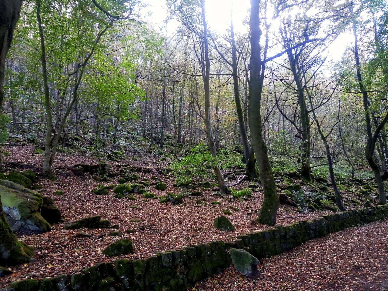
A 3.6 mile (5.9 km) circuit links Padley Gorge with the National Trust's Longshaw Estate, where twisted mossy woodland, boulders and a stream give children plenty to climb and paddle in. The terrain is uneven with rocks and tree roots, and muddy sections grow in wetter seasons. Allow around three hours because the play stops add up, and bring cash for the ice-cream van, which does not take cards.
A longer 5.8 km (3.6 mile) circuit from Grindleford train station adds Owler Tor, Surprise View, Mother Cap and Millstone Edge before returning through the gorge. Direct rail access makes this the easiest walk on the list to do without a car, and hot chips at Grindleford Station Cafe close the day. The terrain is rarely flat, so allow more time than the distance suggests.
Chee Dale stepping stones from Millers Dale
A 5 km (3.1 mile) circuit with only 50 m (164 ft) of ascent drops from Millers Dale into the Chee Dale nature reserve, where the River Wye runs through a limestone gorge and two sets of stepping stones carry the path along the walls. You climb back to the Monsal Trail and walk through its long tunnels. The route is almost flat and generally firm, with two short rocky patches that turn slippery.
After heavy rain the stepping stones are often submerged, so save this walk for a dry spell and check river levels before setting out. The riverside footpath is rocky and very uneven in places, with a couple of spots where you may need to slide down on your seat. Those carrying small children should expect to move slowly through the gorge.
Dovedale and the stepping stones from Thorpe
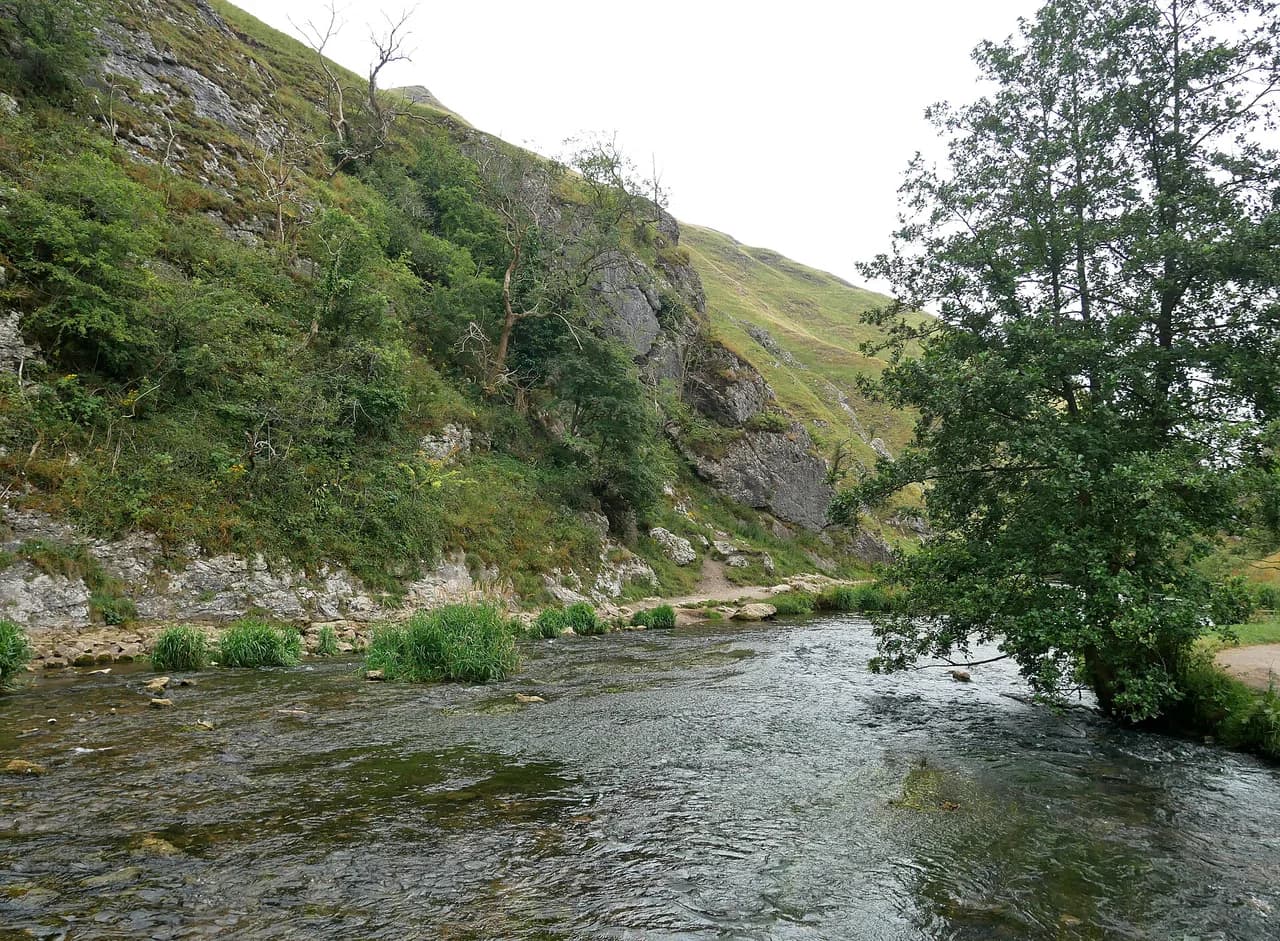
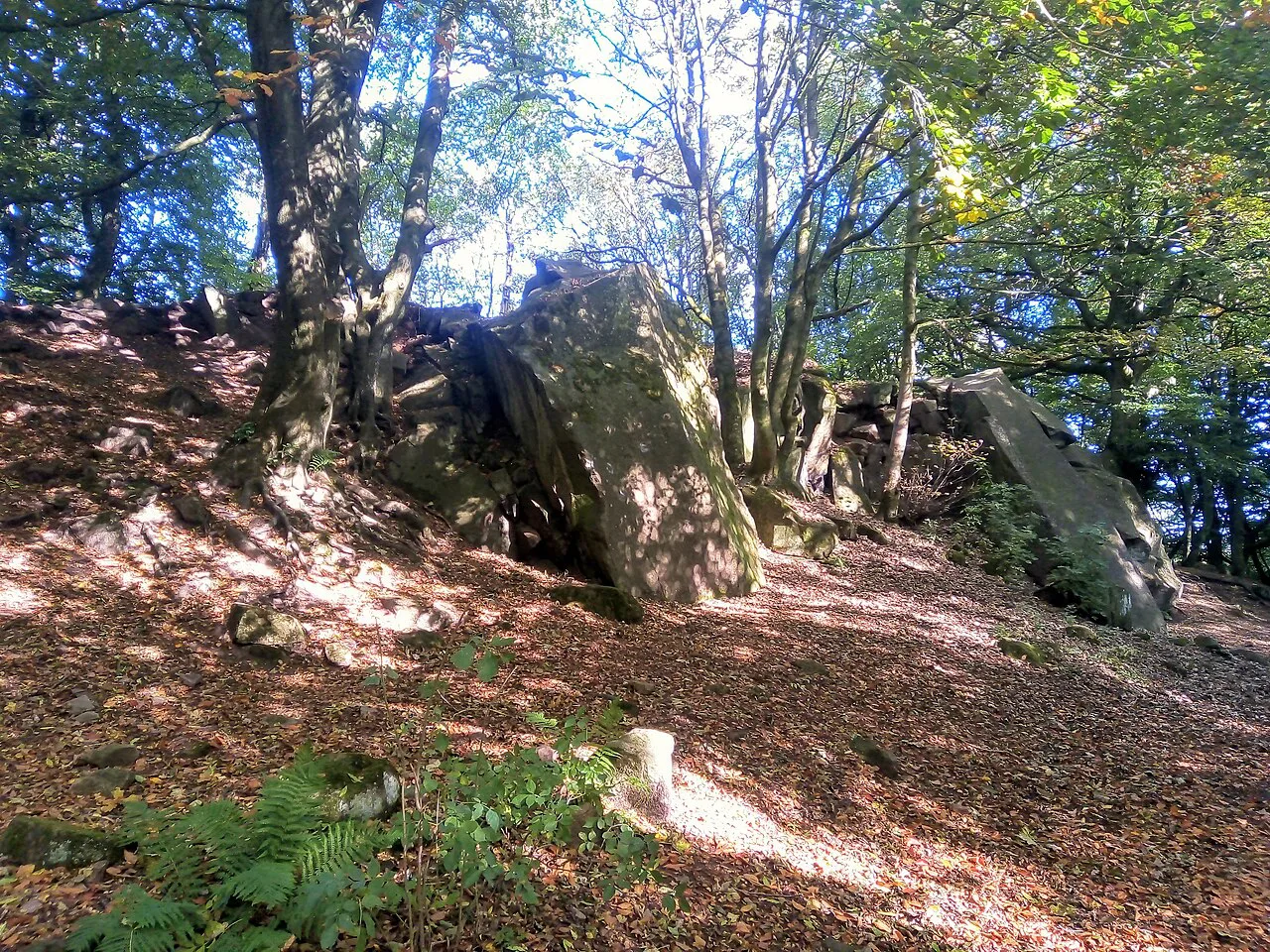
Start from the quieter village of Thorpe rather than Dovedale car park, and a 5.3 km (3.3 mile) circular route leads around Thorpe Cloud and across the famous stepping stones on the River Dove. Go early or late on sunny weekends to avoid the crush at the stones. Paths are good, with no more than a couple of staircases unless you add the summit detour.
The optional climb up Thorpe Cloud is steep and takes about 15 minutes, rewarding the effort with views over the dale. For a longer riverside day, a 10.5 km (6.5 mile) return walk from Dovedale to Milldale follows the Dove past limestone cliffs and caves to a village at the far end. The Dovedale car park is often exceptionally busy, so go early or late and park at Thorpe instead if it is full.
Wolfscote Dale from Hartington
A 5.4 mile (8.7 km) route from Hartington takes 2.5 to 3 hours with 262 m (859 ft) of ascent through three dales along the River Dove. Terrain is undulating rather than steep, and the dale footpaths are relatively easy to follow. Limestone crags and green hills give it the classic White Peak character.
A slightly shorter 9.5 km (5.9 mile) loop through Wolfscote Dale and Beresford Dale climbs 155 m (509 ft) on gravel paths, grass and dirt trails, with a few short climbs and a hermit's cave to visit. It is noticeably quieter than nearby Dovedale, which makes it the better choice if you want peace over spectacle. Both routes work well from a base in Hartington or Ashbourne.
Baslow Edge from Curbar Gap
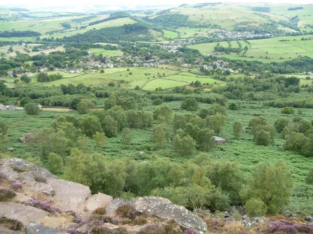
From Curbar Gap car park a short uphill pull leads onto Baslow Edge, then a 3.3 mile (5.3 km) circuit with 151 m (495 ft) of ascent returns across Big Moor in 1.5 to 2 hours. The route takes in Wellington's Monument and the Eagle Stone, and Highland cattle and deer sometimes graze the open access land. Gritstone formations line the edge, with views over Curbar Edge.
A shorter 2.8 km (1.7 mile) version climbs just 35 m (115 ft) from the same car park and reaches the edge within 300 m, then follows it for roughly a kilometre before turning into the heather. In August the moor turns purple, and the paths are good throughout with odd short rocky sections. Park at Curbar Gap using postcode S32 3YR as a guide rather than a precise point.
Bamford Edge
A 2.9 km (1.8 mile) circuit with 130 m (426 ft) of ascent climbs steeply at the start, then runs flat along the ridge above Ladybower Reservoir. Gritstone ledges and piles give the edge-of-the-world photographs the spot is known for, and it works well for sunset or a picnic. If you want the cliff-top view without the full circuit, the climb to the ridge is the only real effort.
A longer 7.9 km (4.9 mile) circular from the same area adds Ladybower's plug holes, wood carvings, Bamford stepping stones and the village pub, but finishes with a steep climb. Walking it anticlockwise makes the climb easier for small legs, and a gentler return from the pub adds 1.1 km. The full loop is the better day out if you have time and a car at Bamford.
Stanton Moor and Rowtor Rocks
A 3.1 km (1.9 mile) circuit on Stanton Moor is flat and stile-free, passing the Bronze Age Nine Ladies stone circle and a corkscrew-shaped rock at the start. It suits little legs and mobility issues, and the heather is best from July to September. A slightly longer 4.5 mile (7.2 km) route from the same area climbs 182 m (597 ft) and adds Rowtor Rocks, the moor plantations trig point and views to Robin Hood's Stride.
Climbing the Cork Stone is far harder than it looks, so treat it as an optional challenge rather than part of the walk. The shorter circuit stays on dirt and sandy paths, while the longer one has more sustained climbing. Both lie near Matlock and work well as an afternoon outing.
Mam Tor from Castleton
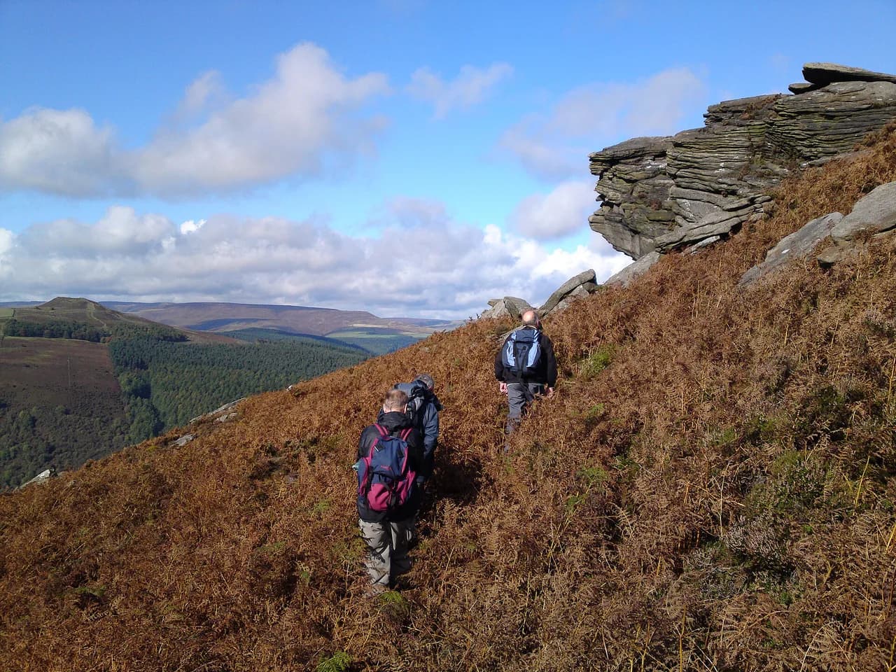
The classic 4.1 km (2.5 mile) loop from the Mam Tor National Trust car park climbs to the 517 m (1,696 ft) summit, drops to Hollins Cross, and returns through woodland and along the broken road abandoned after 1970s landslides. For the shortest version, a car park below the summit leaves a steep 550 m walk to the trig point. Views over Castleton and the Great Ridge are the reason this is the park's most walked hill.
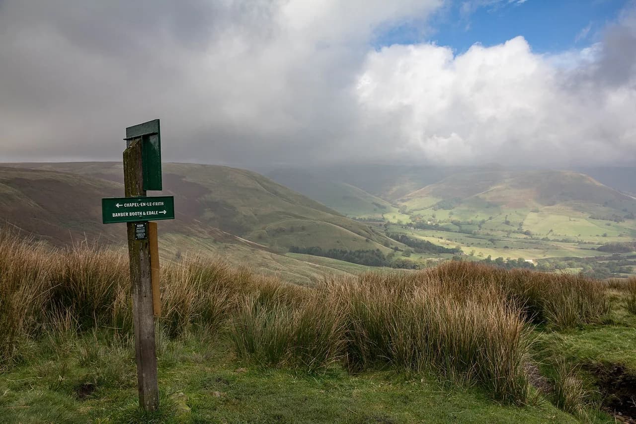
A 5 mile (8 km) version from Castleton climbs 515 m (1,690 ft) in 2 to 3 hours and takes in the ridge properly. This is the busiest hill here, so start early and avoid weekends if you can. For the same panorama with fewer people, Rushup Edge from Barber Booth gives 5.3 miles (8.5 km) and 359 m (1,177 ft) of ascent with the Mam Tor skyline ahead of you.
When to go and what to expect
Heather blooms in August and early September on Stanton Moor, Bamford Edge and the eastern edges, while autumn brings the strongest colour to the Upper Derwent Valley woods. Winter keeps the reservoir and valley paths walkable but puts mud and standing water on the dales, and Chee Dale's stepping stones can be under water after rain. Spring is the time for wildflowers at Ilam Park and Padley Gorge.
Summer weekends bring crowds to Mam Tor, Dovedale and The Roaches, so arrive before 10am to find parking, or earlier still at the most popular spots. The weather changes fast on the high ground: carry a waterproof and a paper map, and turn back from exposed edges if cloud drops. None of these walks should be underestimated in wind and rain, even the short ones.
Where to base yourself
Castleton puts you under Mam Tor and the Great Ridge, with the Hope Valley and Edale within easy reach. Hathersage is the natural base for Bamford Edge, Stanage Edge and the Padley Gorge walks, with outdoor shops and good pubs in the village. Bakewell and Ashbourne serve the White Peak dales, from Monsal Dale to Dovedale and Wolfscote Dale.
Buxton sits within 15 to 20 minutes of Chee Dale, Three Shires Head and Wolfscote Dale, making it a strong western base. Matlock suits Stanton Moor and Lumsdale Falls, while Grindleford and Hathersage give train access to the Padley Gorge and Grindleford circuits. For a quieter stay, Hartington places you directly on the Wolfscote Dale paths.
What to take on short Peak District walks
Wear grippy boots or trail shoes for the rocky, rooty and muddy sections on Padley Gorge, Chee Dale and the edges, and save trainers for the reservoir and Monsal Trail paths. Carry a paper map and compass, plus the relevant Ordnance Survey sheet, since phone signal is patchy in the dales. Carry some coins as a backup for car park machines.
Pack water and a layer even on short days, as the tops are exposed and the weather can shift within an hour. Take all litter home, leave barbecues behind, and park only in designated areas so farm gates and passing places stay clear. These simple habits keep the busiest honeypots usable for everyone.
Plan Your Visit
Choose by effort first: Damflask Reservoir, the Monsal Trail and Ilam Park for the flattest ground; Baslow Edge, Bamford Edge and Stanton Moor for a single short climb; Wolfscote Dale and the Mam Tor ridge for a half-day with real ascent. Every walk on this list sits inside the Peak District National Park, so pick a base in Castleton, Hathersage, Bakewell, Ashbourne or Buxton and keep drives to the trailheads short.
Check the weather and any current parking or access notices with the Peak District National Park or the relevant estate before you travel, and carry the map for the area you are walking. Arrive early at the honeypots and save the quieter dales for weekends when the classic routes fill up.
Frequently Asked Questions
What are some good walks for beginners in the Peak District?
The Monsal Trail, Damflask Reservoir and Ilam Park offer flat, well-surfaced ground with minimal climbing, and Baslow Edge and Stanton Moor add only short uphill sections. Check the distance and ascent for each route against your comfort level and pick a dry day for the rocky gorge walks.
What are the flattest walks in the Peak District?
Damflask Reservoir from Low Bradfield climbs just 37 m over 3.9 miles, and Lathkill Dale is almost entirely flat. Ilam Park and the Monsal Trail also suit walkers who want level paths with plenty of interest.
Which easy Peak District walks are best for families with young children?
Padley Gorge and Longshaw Estate, Stanton Moor, the Chee Dale stepping stones and the Chatsworth Hunting Tower circuit all offer short distances, play stops and obvious paths. Expect mud after rain and uneven ground in the gorges.
Which easy Peak District walks are quiet and avoid the crowds?
Wolfscote Dale, Beresford Dale and the Thorpe start for Dovedale are noticeably quieter than the main honeypots. Arriving early at Mam Tor, Dovedale and Bamford Edge also helps you avoid the busiest hours.
What is the easiest way up Mam Tor?
Park at the Mam Tor National Trust car park for a short but steep 550 m walk to the summit, or take the 4.1 km loop that includes Hollins Cross and the broken road. Start early on weekends to secure a parking space.
How long does the Monsal Trail take to walk?
The full trail runs 8.5 miles on a former railway line. Most walkers choose a shorter out-and-back section, and the Monsal Head circuit takes 45 minutes to an hour with 126 m of ascent.
Which easy Peak District walks start from a train station?
The Padley Gorge, Owler Tor and Mother Cap circuit starts directly from Grindleford train station. Hathersage also has rail access within reach of the River Derwent and Bamford Edge walks.
Sources
Trail notes for your next trip
Optional updates when we add or revise hiking guides.
You might also like
Continue reading
More guides you'll find useful