GR10: The French Pyrenees Coast-to-Coast Thru-Hike Guide
The GR10 crosses the French Pyrenees from the Atlantic to the Mediterranean. Plan stages, hut nights, season and trailhead access here.
On this page
The GR10 is the French Pyrenees end to end: it starts on the beach at Hendaye on the Atlantic, finishes at Banyuls-sur-Mer on the Mediterranean, and crosses the Basque hills, the high central range and the dry eastern slopes on the way. It suits hikers who want a full summer of mountain walking with a bed most nights rather than a camping expedition. The route runs about 900 km (560 mi) with roughly 55,000 m (180,000 ft) of ascent, so it rewards a light pack and a realistic schedule more than speed.
What the GR10 is and who it suits
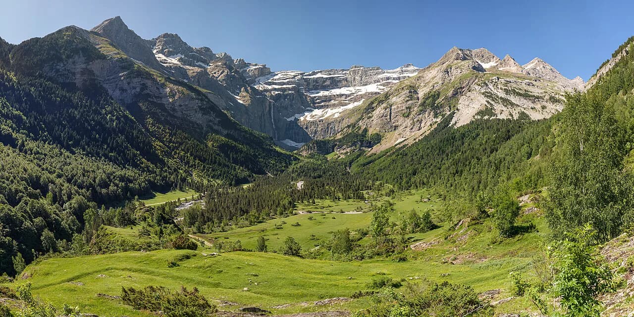
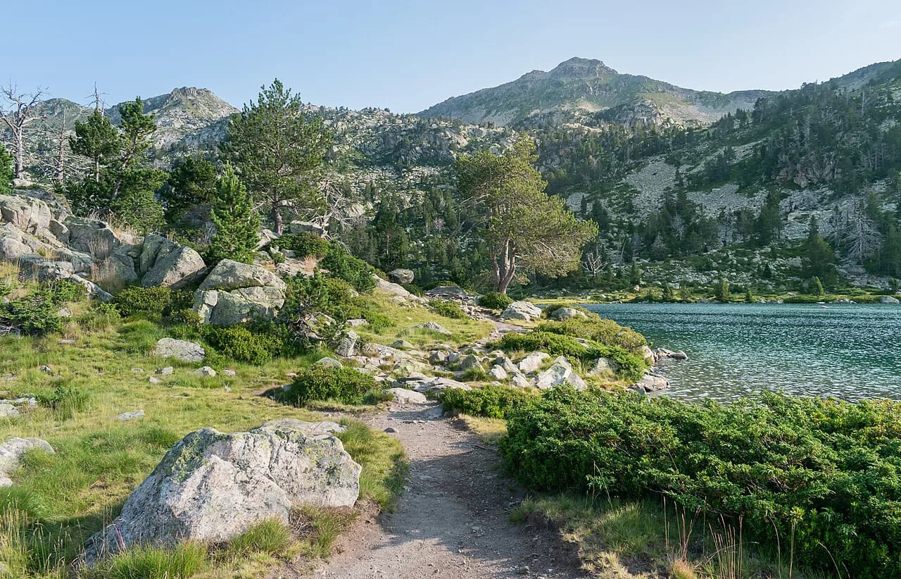
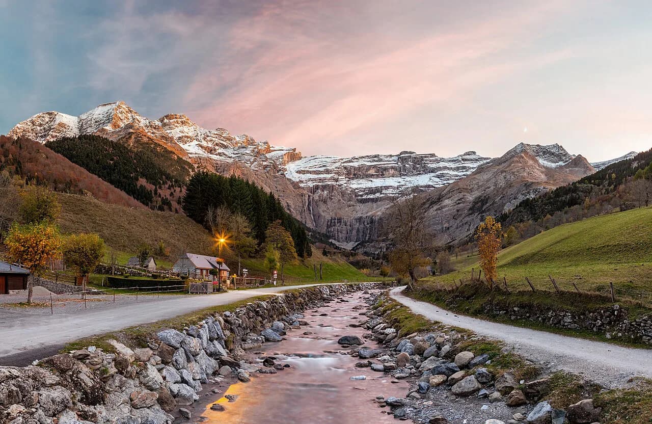
The GR10 crosses France coast to coast, linking the Atlantic to the Mediterranean and taking the Pyrenees in its stride, with the western end green and lush, the middle austere and rocky, and dry garrigue and blue skies as the Mediterranean approaches. It passes the range's best-known sights, including Lac de Gaube, Lac d'Ôo and the Cirque de Gavarnie. Despite rugged terrain there are hostels most evenings, so the GR10 mixes wild days with nights under a solid roof.
It suits fit walkers with long-distance experience who can carry a full pack for six to eight hours a day over many weeks, and who want a mountain route where you can resupply and sleep indoors without camping. Backpackers used to high alpine routes will find it lower and greener than the ridge lines, but the repeated climbs and descents add up. Section hikers can treat it as four separate two-week trips.
Direction of travel: Hendaye to Banyuls or the reverse
Most people walk from Hendaye on the Atlantic to Banyuls on the Mediterranean, partly because the official French guide and the classic English-language guide are written that way. Because beds are limited, this direction means you keep meeting the same walkers, and the conviviality is part of the experience. Starting at Banyuls instead gives a very different trip, with more interaction with nature than with other walkers, since only one or two people leave Banyuls each day against roughly ten leaving Hendaye.
Choose west-to-east if you want guidebook stages that run in your direction, company in the refuges and a route description that matches the waymarks you follow each day. Choose east-to-west if solitude matters more than convenience: you will navigate the same trail backwards against the guidebook layout, and the dry eastern approach to Canigou becomes your first test rather than your last. Either way the marking is white-and-red GR paint, and the trail is well enough marked to walk in both directions.
How long it takes and how to section-hike
Allow typically 45 to 60 days of walking at six to eight hours a day, then add rest days and a few more days if you follow one or other of the variants. Count hours rather than kilometres: in the mountains, plan on about 300 m of climbing or 500 m of descent per hour, and even then you will be doing well. The FFRandonnée topo-guide gives reasonable timings for a fit walker carrying a full rucksack.
The trail splits naturally into four blocks of roughly two weeks each: the western Pyrenees from Hendaye to Arrens through the Basque country, the central Pyrenees from Arrens to Bagnères-de-Luchon where the route turns more mountainous, the Ariège from Bagnères-de-Luchon to Mérens, and the eastern Pyrenees from Mérens to Banyuls with Mediterranean landscapes. Each official guidebook covers about a two-week section. That structure lets you take the GR10 in annual holidays without committing to a single continuous summer.
Distance, ascent and high point
The GR10 runs roughly 900 km (560 mi) with about 55,000 m (180,000 ft) of elevation gain, and its maximum elevation is listed at 2,732 m (8,963 ft). Stage-by-stage GPS data show the shape of the effort: Hendaye to Estérençuby covers 111 km (69 mi) with about 5,575 m (18,291 ft) of climbing, and the Lac de l'Oule to Etang d'Araing stretch covers 106 km (66 mi) with about 7,851 m (25,758 ft) of climbing. Treat those daily totals as the real measure of difficulty rather than the map distance.
The route's maximum elevation is listed at 2,732 m (8,963 ft), and the optional Vignemale extension at 3,295 m (10,810 ft) is a single additional day involving a glacier crossing. Take the pass heights as your planning figure and treat the summit extension as a separate decision.
Trailheads and public transport
Public transport reaches trailheads at Hendaye, Saint-Jean-Pied-de-Port, Etsaut, Cauterets, Luz-Saint-Sauveur, Saint-Lary, Mérens-les-Vals, Bolquère, Villefranche-de-Conflent and Banyuls. Many hostels and huts along the route can also be reached by car, which makes short section walks practical. That spread of rail and bus access is what makes the GR10 easy to section-hike without a car shuttle.
Numerous train stations and bus stops are scattered along the GR10, so a full thru-hike or a week-long section both work without logistics of your own. Look up the current timetable with the regional train and bus operators for the line you need before you fix a start date, since service patterns vary by valley. If you start at one end and finish at the other, book your return leg from Banyuls or Hendaye in advance of the walk.
Basque Country and Béarn, Hendaye to Arrens
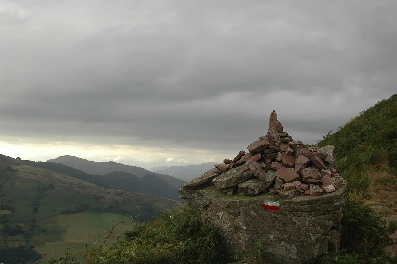
The first section runs from the Atlantic through green Basque foothills, passes Bidarray, and then heads into the Iraty forest before the terrain stiffens toward the high Pyrenees. The profile is constant up and down at modest altitude: the first 111 km (69 mi) to Estérençuby tops out at just 1,023 m (3,356 ft) but still adds about 5,575 m (18,291 ft) of climbing. Supply points in this stretch include Ainhoa, Saint-Étienne-de-Baïgorry, Saint-Jean-Pied-de-Port, Bagargrak at Iraty, Lescun and Gourette.
Plan this as a fortnight of moderate days and use Saint-Jean-Pied-de-Port, with its shops and transport, as a natural break. The following stage from Estérençuby to Borce covers 104 km (65 mi) and climbs about 6,664 m (21,864 ft), reaching the higher ground around the Iraty plateaus. Villages sit in the valleys, so most days start with a long ascent and end with a descent to a bed.
Central Pyrenees highlights, Arrens to Bagnères-de-Luchon
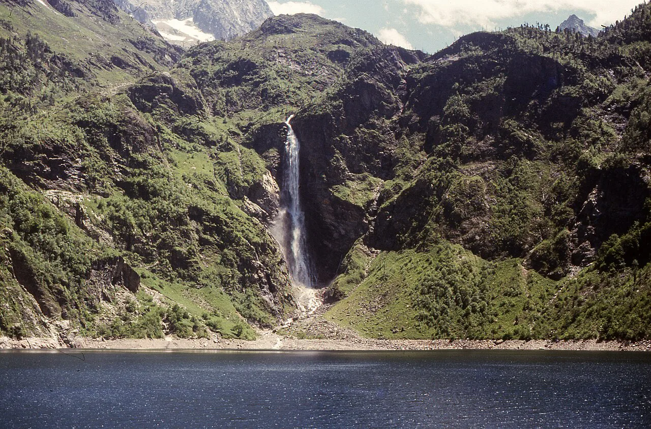
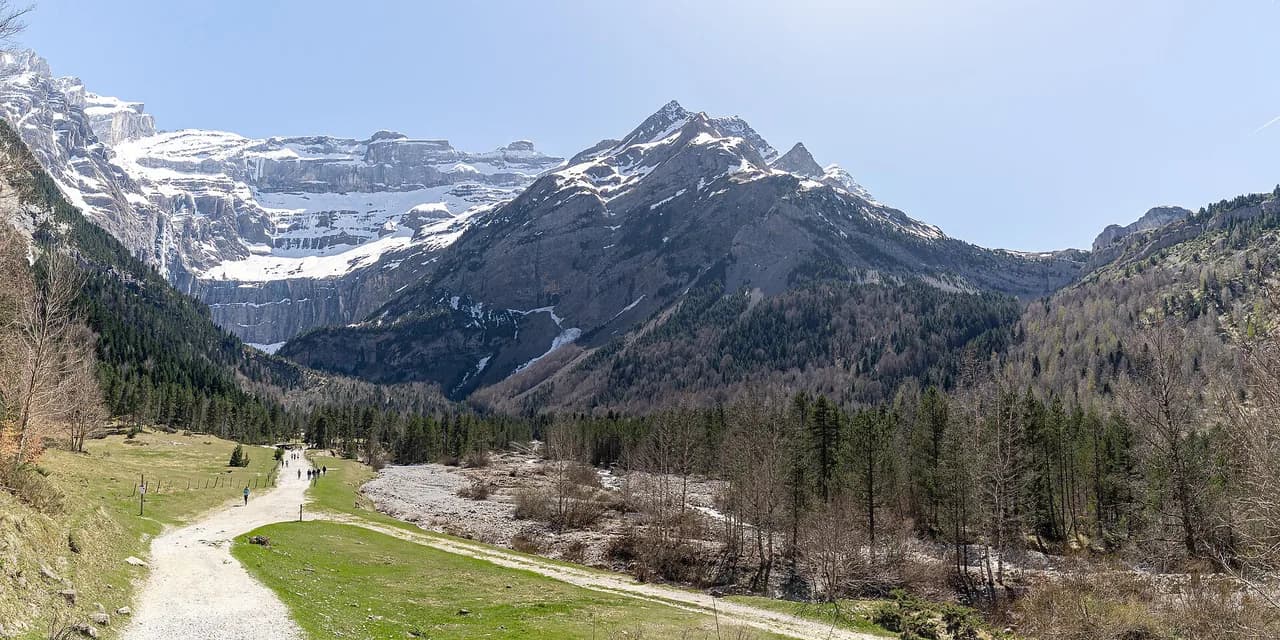
The central section is where the GR10 becomes a serious mountain route, visiting the Cirque de Gavarnie, Lac de Gaube and Lac d'Ôo and pressing close to some of the range's highest summits. The Borce to Cauterets stage covers 79 km (49 mi) and climbs about 6,232 m (20,446 ft), and the next stage from Cauterets via Gavarnie to Lac de l'Oule covers 92 km (57 mi) with a maximum of 2,732 m (8,963 ft). The Hourquette d'Ossoue and the optional Vignemale day are the highlights of this block.
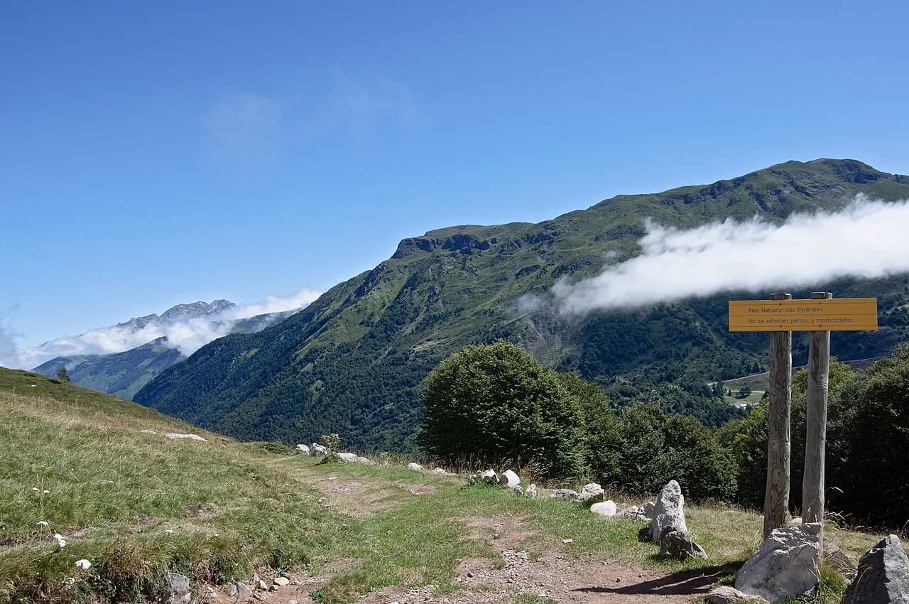
The Gavarnie cirque and the Vignemale extension both sit inside the Pyrenees National Park, where park rules apply and wild camping is restricted. If you want a short taster of this terrain, the Cauterets to Luz-Saint-Sauveur route via the Hourquette d'Ossoue and Gavarnie is widely regarded as the best part of the whole GR10. Both ends have buses and services, so you can walk it as a multi-day section with a light pack.
Ariège, the hardest section for beds
The Ariège has the fewest organised beds, and some legs are long enough that a hut night, and a sleeping bag, becomes necessary. Gabas to Gourette is about 8 hours 50 minutes on the FFRandonnée timing, with huts at Cézy clearly visible from the trail. From Bagnères-de-Luchon to Fos is about 10 hours, though a gîte d'étape at Artigue now lets you split it over two days, and there are two huts at the Cabanes de Peyrehitte with a water trough a little further along.
The Eylie d'en Haut to Esbints stretch takes three days and two nights, about 19 hours 40 minutes of walking, and the intermediate days are 9 hours 35 minutes and 10 hours 05 minutes. The Cabane du Pla de la Lau has become the Gîte Auberge Maison du Valier, and there is another gîte d'étape at Saint-Lizier d'Ustou after Esbints. The Goulier to Rulhe block, over four days and three nights, is the most difficult of all: Siguer, the Cabane du Courtal Marti, the Cabane d'Artaran and the Refuge du Rulhe are the usable stops.
Carry a sheet sleeping bag here even if you plan on refuges elsewhere, and sort out keys or bookings before you set off from each village. At Siguer, ask at the mairie for the key to the room near the salle des fêtes, and treat the Cabane du Besset d'en Haut at Col de Sasc as a last resort given its condition. With those constraints, this is the section where the GR10 stops feeling like a chain of hostels and starts to feel like a mountain traverse.
Eastern Pyrenees, Mérens to Banyuls
The final block crosses the Cerdagne, passes Canigou and drops toward the Mediterranean in increasingly dry country. From the Etang de Guzet to Mérens-les-Vals is 104 km (65 mi) with 7,545 m (24,754 ft) of climbing, and from Mérens-les-Vals to Batère is 111 km (69 mi) with 7,260 m (23,820 ft). The last 85 km (53 mi) into Banyuls climb about 4,525 m (14,846 ft) but descend about 5,990 m (19,652 ft), so the balance tips downhill at the finish.
Water is the planning issue in the Pyrénées Orientales: the days around Banyuls likely have no water available during the day, so you carry enough for the whole day and refill only at the end. Ask people in the villages about springs along the next day's route rather than trusting that a marked source will be running, and check current conditions locally before you set out. Light, fast days with a full water load beat long days with an empty bottle.
Refuges, gîtes d'étape and free cabanes
There are 63 refuges gardés listed for the Pyrenees, and a night with an evening meal, a dormitory bed, breakfast and a picnic lunch costs about 42 euros. Blankets are provided but a sheet sleeping bag is essential, and most refuges have sandals for indoor use. Booking one or two days ahead is usually enough, and if you are really stuck they will find you space on the floor.
A gîte d'étape costs 5 to 15 euros more than a refuge and is more likely to offer rooms with two to four beds, but booking is essential and you still need a sheet sleeping bag. Carry cash: many refuges accept only cash or cheques drawn on a French bank account, and ATMs are limited to towns such as Hendaye, Saint-Jean-Pied-de-Port, Cauterets, Luz-Saint-Sauveur, Bagnères-de-Luchon, Bolquère, Arles-sur-Tech and Banyuls. Many hotels and hostels will make you a picnic if you ask in advance.
Alongside the staffed refuges there are 775 huts and shelters across the Pyrenees, many of them on or near the GR10. They are free, but some are locked or occupied by a shepherd and others are semi-derelict, so nothing can be taken for granted and you should arrive early. They are for the specific stretches with no refuge, not a general substitute for a booking.
When to go
The Horquette d'Arre pass at 2,465 m (8,087 ft), on day 17 of a 60-day schedule, is covered in snow until about 14 June and sometimes a couple of weeks longer. At the other end, the weather deteriorates from the beginning of October. That makes the practical window roughly 12 June to 30 September, with July and August hot and refuges filling early in the day, particularly between 14 July and 15 August.
June to September is the thru-hiking season, though snowfields can linger in early summer and early snowfalls can arrive in late summer and early autumn. If you want fewer walkers on the trail and easier beds, aim for the ends of that window and accept more snow on the highest passes. The central Pyrenees are cooler than the Mediterranean end, so build in flexibility for a slow start if the high passes are still holding snow.
Weather and hazards on the route
Thunderstorms are the main hazard: in the Pyrenees they tend to arrive around 16:00, and the temperature can drop 15°C in as many minutes. Plan high passes and exposed ridges for the morning and be ready to descend or turn back if cloud builds after lunch. Heat, thirst and thin air are the other everyday risks, and springs are surprisingly scarce in some areas, so carry treatment tablets as backup.
Pyrenean patous, the big white livestock guard dogs, work with the sheep flocks you will meet on the trail. Do not come between a dog and its flock and do not try to force your way through the animals; if the alternative is scrambling or turning back, take it. Bears live in the range but are rarely seen and statistically not a practical concern, and marmots are the wildlife you will actually notice.
Walking alone is feasible on the GR10 as long as you can read a map and stay on the path, because sooner or later somebody will come along. Carry a compass, keep the GPX downloaded offline, and share your route and end times with someone at home. Do not walk in thunderstorms, heavy rain or extreme heat, and use the official guidebook variants when weather or vertigo makes a high passage a bad idea.
Navigation and maps
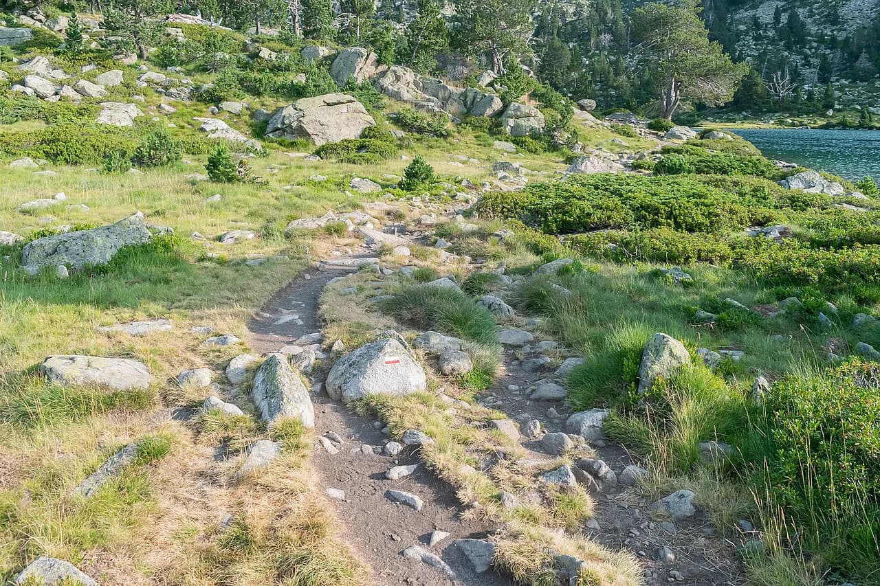
IGN publishes 1:25,000 maps for the whole range, which are ideal for short sections, while the FFRandonnée topo-guide carries detailed 1:50,000 maps and the classic guide uses sketch maps. A GPS with on-board maps is the most convenient solution for the full route, and you can view and download GPX tracks from community sources. Follow the white-and-red beacons and keep the topo-guide with you for route changes.
The FFRandonnée publishes route diversions for the GR10, and the Pyrénées-Atlantiques committee keeps a page dedicated to changes in the route. Check the official trail page and MonGR before you start each section rather than relying on an older edition. Offline mapping on your phone plus a paper map as backup is the sensible combination for a multi-week walk.
Gear for a GR10 thru-hike
A lightweight kit makes the repeated climbs tolerable: boots with high sides, a light waterproof, synthetic layers that dry fast, and a pack that keeps the total near 10 kg (22 lb) with water and a day of food. Add a sheet sleeping bag for the refuges, water treatment tablets for scarce springs, and a headtorch for early starts. One walker cut their load from 18 kg (40 lb) to under 11 kg (24 lb) by dropping sandals, toiletries and spare clothing, relying on the refuges for indoor footwear.
Pack for cash and for paperwork: a small wallet with enough notes for several refuge nights, your topo-guide or printed maps, and a repair kit for boots and pack. Because most refuges provide blankets but not sheets, the sleeping bag liner is the one item you should not leave behind in the Ariège. Test the whole load on a long day before you leave, and trim anything you have not used after the first week.
GR10 versus the GR11 and the HRP
The GR10 stays in France and deliberately oscillates between the ridge and the valleys, so it sits between the HRP, which stays high in the mountains, and lower official trails such as the GR78. The GR11 crosses the Spanish side of the Pyrenees, so the choice is partly about which country you want to walk through and which language you want to resupply in. If you enjoy choosing a coast-to-coast route this way, hiking in Mallorca offers a similar comparison of long ridge trails through the Serra de Tramuntana. The GR10 has more beds and villages, which suits hikers who want a roof most nights.
If you are comparing coast-to-coast routes, the GR11 is the Spanish equivalent and the HRP is the high-level route for experienced backpackers who are comfortable with snow and exposed passes. The GR10 is the most forgiving of the three because it drops to villages often and the waymarking is good in both directions. Compare the GR11 and the Haute Route Pyrénées before deciding which fits your experience.
Plan Your Visit
Start with the direction: Hendaye to Banyuls if you want guidebook stages and company, Banyuls to Hendaye if you want solitude. Then pick your season around the Horquette d'Arre snow and the mid-July to mid-August refuge crunch, and build in rest days on top of the 45 to 60 walking days.
For the detailed logistics of each section, the Pyrenees hiking guide covers the range's other trails and the huts that link them, while the Carros de Foc shows how hut circuits work elsewhere in the Pyrenees. Sort out your transport from Banyuls or Hendaye before you start walking, and carry cash for the refuges from the first village onward.
Frequently Asked Questions
How long does it take to walk the GR10?
Allow typically 45 to 60 days of walking at six to eight hours a day, then add rest days and a few more days if you follow variants. Section hikers usually take it in four blocks of roughly two weeks each, from Hendaye to Arrens, Arrens to Bagnères-de-Luchon, Bagnères-de-Luchon to Mérens, and Mérens to Banyuls.
Which direction should you walk the GR10?
Most walkers go west to east from Hendaye to Banyuls, because the official French guide and the classic English guide are written that way and you keep meeting the same people in the refuges. Starting at Banyuls gives a quieter, more solitary traverse, with only one or two people leaving Banyuls each day against roughly ten from Hendaye.
When is the best time of year to hike the GR10?
The practical window is roughly mid-June to the end of September. The Horquette d'Arre pass at 2,465 m (8,087 ft) is snow-covered until about 14 June and sometimes longer, and the weather deteriorates from the beginning of October. July and August are hot and refuges fill early, particularly between 14 July and 15 August.
Is the GR10 harder than the GR11?
The GR10 is generally the more forgiving of the two because it drops to villages often and has more beds. It still piles up about 55,000 m (180,000 ft) of ascent over roughly 900 km (560 mi), so fitness and a light pack matter more than which side of the border you choose.
Do you need to book refuges on the GR10?
Booking one or two days ahead is usually enough for a refuge gardé, and if you are really stuck they will find you space on the floor. Gîtes d'étape need firmer booking, and in the Ariège the long legs between beds make early planning essential.
Can you wild camp on the GR10?
Wild camping is possible in most parts of the trail, but the route crosses natural parks where it is not allowed, which will likely be mentioned on signs along the trail. Refer to the mountain huts for information where signs are unclear, and follow Leave No Trace principles throughout.
Where can you join the GR10 by train or bus?
Public transport reaches trailheads at Hendaye, Saint-Jean-Pied-de-Port, Etsaut, Cauterets, Luz-Saint-Sauveur, Saint-Lary, Mérens-les-Vals, Bolquère, Villefranche-de-Conflent and Banyuls. Many hostels and huts along the route are also reachable by car, which makes short sections practical.
Is the GR10 safe to walk alone?
It is feasible if you can read a map and stay on the path. Thunderstorms are the main hazard, arriving around 16:00 with sharp temperature drops, so plan high passes for the morning. Carry a compass, keep the GPX offline, share your plans, and avoid thunderstorms, heavy rain and extreme heat.
Sources
Trail notes for your next trip
Optional updates when we add or revise hiking guides.
You might also like
Continue reading
More guides you'll find useful