GR11 Guide: Plan Your Pyrenees Traverse
The GR11 crosses the Spanish Pyrenees from the Atlantic to Cap de Creus. Plan the distance, ascent, stages, high passes, huts and best months to walk.
On this page
The GR11, or Senda Pirenaica, is the Spanish coast-to-coast traverse of the Pyrenees: roughly a two-month walk from the Atlantic to the Mediterranean, staying mostly on the southern side of the watershed. It suits experienced long-distance hikers who want high passes, wild terrain and quieter refuges, and it rewards anyone willing to plan resupply and snow carefully. If you are weighing it against other options across the range, start with this guide to hiking in the Pyrenees and then read on for the GR11's own character.
The GR11 and who it suits
The GR11 is a marked long-distance path that crosses the Pyrenees from the Atlantic coast to Cap de Creus on the Mediterranean, spending most of its length on the Spanish side of the border. It is a mountain route with sustained climbing, long days above tree line and several passes over 2,500 m (8,200 ft), so it fits hikers with prior multi-day experience rather than a first backpacking trip.
Compared with its French counterpart, the GR11 stays higher for longer and spends more time on rock and less on grass, which makes it feel more demanding than a simple ascent total suggests. Walkers who want more refuges, gentler waymarking and more company often choose the French line instead; you can compare the two directly in the GR10: Hiking the French Pyrenees from Hendaye to Banyuls-sur-Mer guide.
Start and finish: Faro de Higuer to Cap de Creus
The western end begins near the Faro de Higuer above Hondarribia, on the Basque coast by the French border, with a short prologue of about 4.5 km down to the town. From Hondarribia the route turns inland through the green Basque valleys before gaining height in Navarre and Aragon.
The eastern end is Cap de Creus, the rocky headland where the Pyrenees meet the Mediterranean in Catalonia, reached after cork oak woods and vineyards. The walk finishes at the cape rather than in a town, so plan your onward transport from there before you set out.
Distance, ascent and walking time
Published totals for the GR11 vary, and you should treat any single figure as approximate. One experienced through-walker recorded about 960 km (597 mi) with 42,500 m (139,400 ft) of ascent, while a GPS-tracked collection of the full route gives 872 km (542 mi) with 40,410 m (132,600 ft), and another 2024 traverse describes roughly 850 km.
Most hikers take around two months end to end, including rest days, and the route is best planned at six to eight hours of walking per day rather than long back-to-back hero days. Build in easier days after resupply points and before the biggest passes, because cumulative fatigue over several weeks is the main reason through-walks fail.
Stage-by-stage overview: Basque country to Aragon
The opening days are the greenest and, in distance terms, some of the longest. Hondarribia to Bera runs about 26.7 km (16.6 mi) with 550 m (1,800 ft) of ascent, Bera to Elizondo about 29.5 km (18.3 mi) with 890 m (2,920 ft), and Elizondo to Albergue Sorogain about 19.3 km (12 mi) with 630 m (2,070 ft).
After Sorogain the stages shorten and climb more. Sorogain to Burguete is a short 10.5 km (6.5 mi) with 380 m (1,250 ft), Burguete to Mendilatz about 19.6 km (12.2 mi) with 500 m (1,640 ft), and Mendilatz to Ochagavia about 28.8 km (17.9 mi) with 940 m (3,080 ft).
The Navarre stages then lead toward the high Pyrenees: Ochagavia to Isaba covers about 21.9 km (13.6 mi) with 700 m (2,300 ft), and Isaba to Zuriza about 16.8 km (10.4 mi) with 1,290 m (4,230 ft) over the Ezkaurre summit at 2,045 m (6,710 ft). From Zuriza the route continues through Lizara and Candanchu toward Respomuso and the Aragon high country.
The high Pyrenees: passes above 2,500 m (8,200 ft)
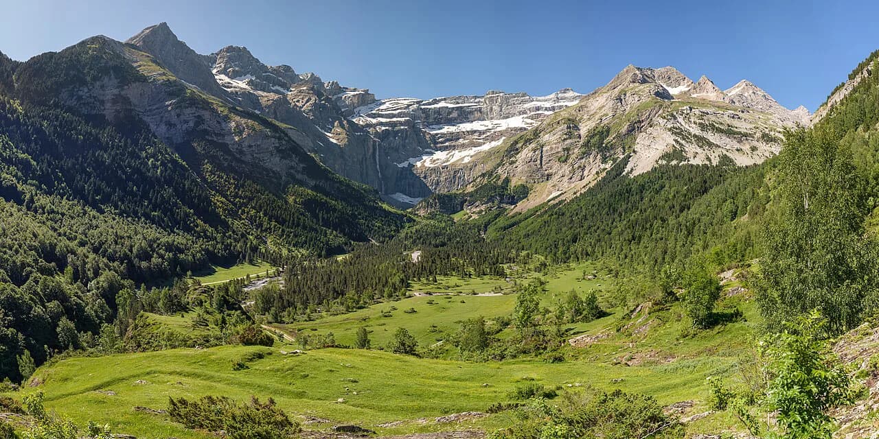
The central section is the heart of the GR11, where the route crosses a dozen passes above 2,500 m (8,200 ft) and stays high for days at a time. This is where the GR11 differs most from the French trail, whose main line tops out at 2,509 m (8,232 ft); the higher Spanish line means more rock, more exposure and cooler conditions than the altitude alone would suggest.
Snow lingers on these passes well into summer, and in a heavy year the higher sections can still hold snow into early July. Carry an ice axe and crampons or be ready to wait, divert or descend if a pass is beyond your comfort level, and treat any snowfield on a north-facing slope as a decision point rather than a stroll.
Thunderstorms build through the afternoon across the range, typically from mid-afternoon onward, so plan to be off summits and exposed passes by early afternoon. Starting before dawn on the big days is the simplest way to keep to that rhythm.
Huts and refuges on the route
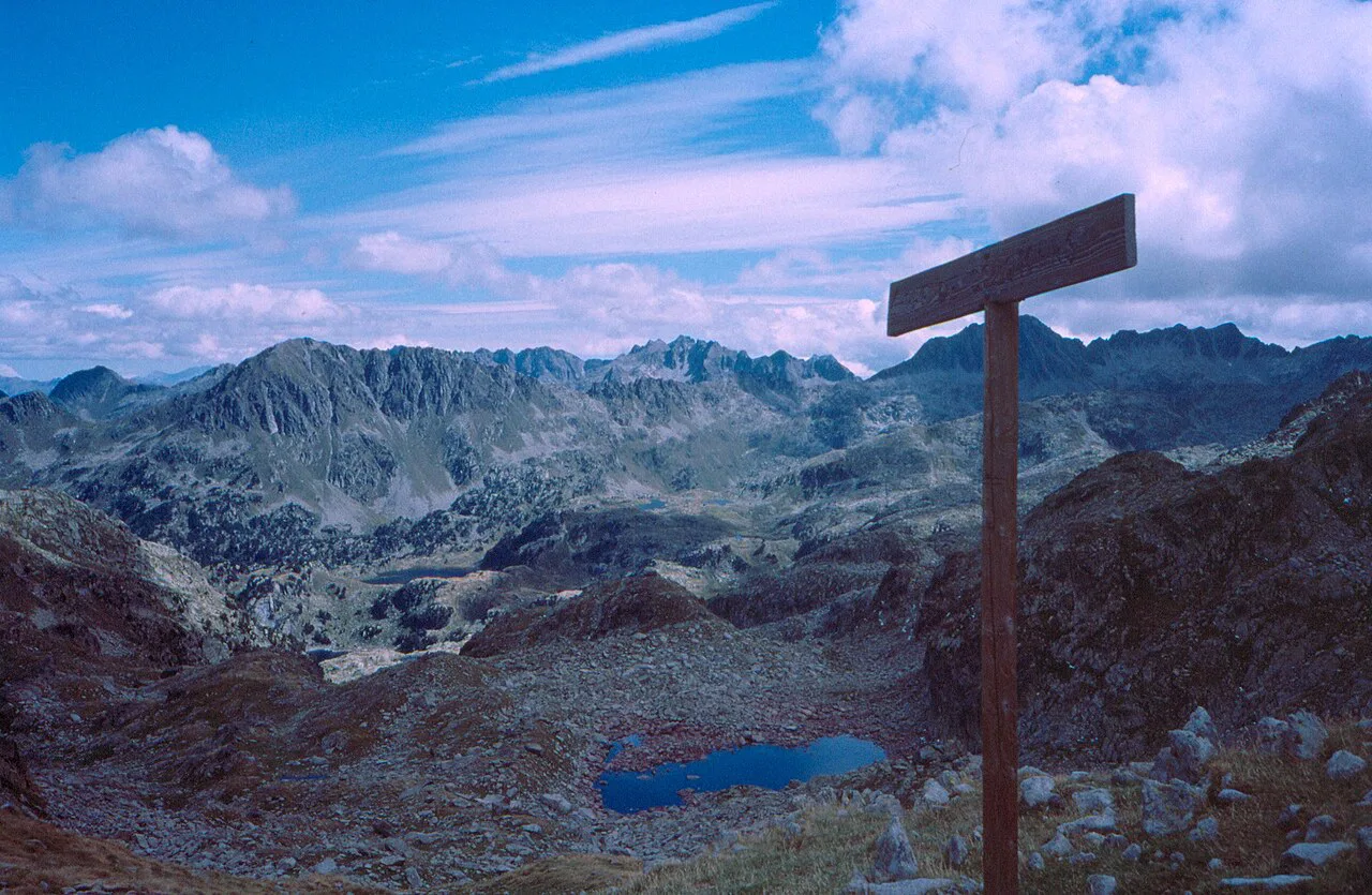
Refuges are spaced along the GR11 and become the backbone of a through-walk, with a mix of staffed huts and simpler unmanned shelters. They are fewer than on the French side, so it pays to plan each stage around the next hut and to carry food for the gaps rather than expecting a shop or bar at every stop.
Book staffed refuges directly with the hut or the regional alpine club that runs them, and reserve ahead for July and August when the high route is busiest. The Catalan refuges of the Aigüestortes i Estany de Sant Maurici National Park, including Refugi d'Amitges, are a useful model for how these bookings work on the eastern half of the range.
Getting to the start and back from the finish
For the western end, fly or take the train to the Basque coast and cross into Irun or Hondarribia by local transport; the coastal towns are well connected and the start is a short walk from town. From the Mediterranean end at Cap de Creus, arrange a transfer or taxi to a town with onward bus or rail links before you begin, because the cape itself is remote.
Trains and buses along both coasts are frequent enough to reach the main trail towns, but the exact services change with the season, so check the timetable once you have your start and finish dates fixed.
Wild camping and national park rules
Wild camping is restricted on parts of the GR11, and two national parks in particular demand attention. Camping is not allowed in Monte Perdido National Park except near Goriz, and it is not allowed in Aigüestortes i Estany de Sant Maurici National Park. Outside those areas, camping practice varies by region and landowner, so plan around huts where the rules are unclear.
Resupply is one of the harder logistics on the GR11: the route is wilder than the GR10, with fewer refill points and shops, and camping gas can be hard to find in the smaller villages. Carry a fuel type you can rely on and plan food purchases around the larger towns before the high sections.
When to go: snow, thunderstorms and the summer window
The reliable window on the GR11 runs from early July into September, once the high passes have melted out and before autumn snow returns to the tops. A source with direct experience of the route reports that the higher GR11 sections usually clear later than the French side, with snow gone from the high ground from about 7 July in an average year, and that a late June start may still require crampons.
Walk west to east if you can, because the Basque country in the west is wetter and cooler early in the season while the Mediterranean end is dry and hot by late summer, and starting in the west gives you more snow-free days. Plan your finish before the first autumn storms arrive on the high passes, and check the snow conditions with the huts or the regional park offices as your start date approaches.
GR11 versus GR10 and the HRP
The three great Pyrenean routes differ in character more than in length. The GR11 is higher and rockier than the GR10 but lower and less committing than the Haute Route Pyrénées (HRP), which follows the watershed on unmarked terrain and demands more experience and self-sufficiency. If you want a marked trail with huts and a Spanish flavor, the GR11 is the best fit; if you want the classic French traverse, the GR10 is the more sociable choice. The same decision between a marked hut-to-hut line and wilder high terrain shapes hiking in Mallorca, where the Serra de Tramuntana trails offer a shorter alternative to a long Pyrenean traverse.
Many strong hikers combine sections of all three, taking the GR11 through the Basque country and the high Spanish passes, then switching to the HRP for the central Pyrenees and back to the GR11 for the Catalan finish at Cap de Creus. If you are drawn to the eastern lakes, the Carros de Foc circuit gives a compact taste of the same terrain.
Gear and preparation for a long traverse
Pack for a long, varied mountain route: sturdy boots, a warm layer and waterproofs for the Basque country, sun protection for the Mediterranean end, and an ice axe and crampons if you start before the snow clears. Carry a stove and fuel you can source locally, and plan the first resupply in Irun or Hondarribia, where the larger shops are easiest to reach.
Navigation matters on the GR11: marked paths are clear in good weather, but cloud and snow can hide the way, so carry a map, compass and a GPS track as backup. Build in rest days and keep daily ascent within your proven capacity rather than stretching on the big passes.
Plan Your Visit
The GR11 is a serious but rewarding traverse: about 900 km (560 mi) of Spanish Pyrenees with a dozen passes over 2,500 m (8,200 ft), huts spaced along the way and a final walk to Cap de Creus. Treat the figures as approximate, build your plan around the summer snow window and the afternoon storms, and leave room for the route to surprise you.
Frequently Asked Questions
How long does the GR11 take to walk?
Most hikers take around two months end to end, including rest days, and plan six to eight hours of walking per day rather than longer days back to back. Shorter sections are easy to arrange if you have a few weeks rather than a full season.
When can you start the GR11 without snow on the passes?
The reliable window starts around early July, when the higher passes usually clear, and lasts into September before autumn snow returns. Some years still hold snow on the higher ground in late June, so be prepared to carry an ice axe and crampons or wait.
Is the GR11 or GR10 better for a first long-distance hike?
The GR10 has more refuges, gentler waymarking and more company, which makes it the easier first through-walk. The GR11 stays higher for longer and spends more time on rock, so it suits hikers with prior multi-day experience.
Can you wild camp on the GR11?
Wild camping is restricted in parts of the route: it is not allowed in Monte Perdido National Park except near Goriz, and it is not allowed in Aigüestortes i Estany de Sant Maurici National Park. Elsewhere, practice varies by region and landowner, so plan around huts where rules are unclear.
Where can you resupply on the GR11?
The larger Basque towns at the western end and the main villages along the route are the practical resupply points, but shops are fewer than on the French trail. Carry food for the gaps between them and buy fuel in the bigger towns before the high sections.
Sources
Trail notes for your next trip
Optional updates when we add or revise hiking guides.
You might also like
Continue reading
More guides you'll find useful