Padley Gorge Walk: Route, Parking and Trailhead Access
Plan the Padley Gorge walk from Longshaw Estate: two route lengths, car parks, bus and train access, and the gorge and Burbage Brook section by section.
On this page
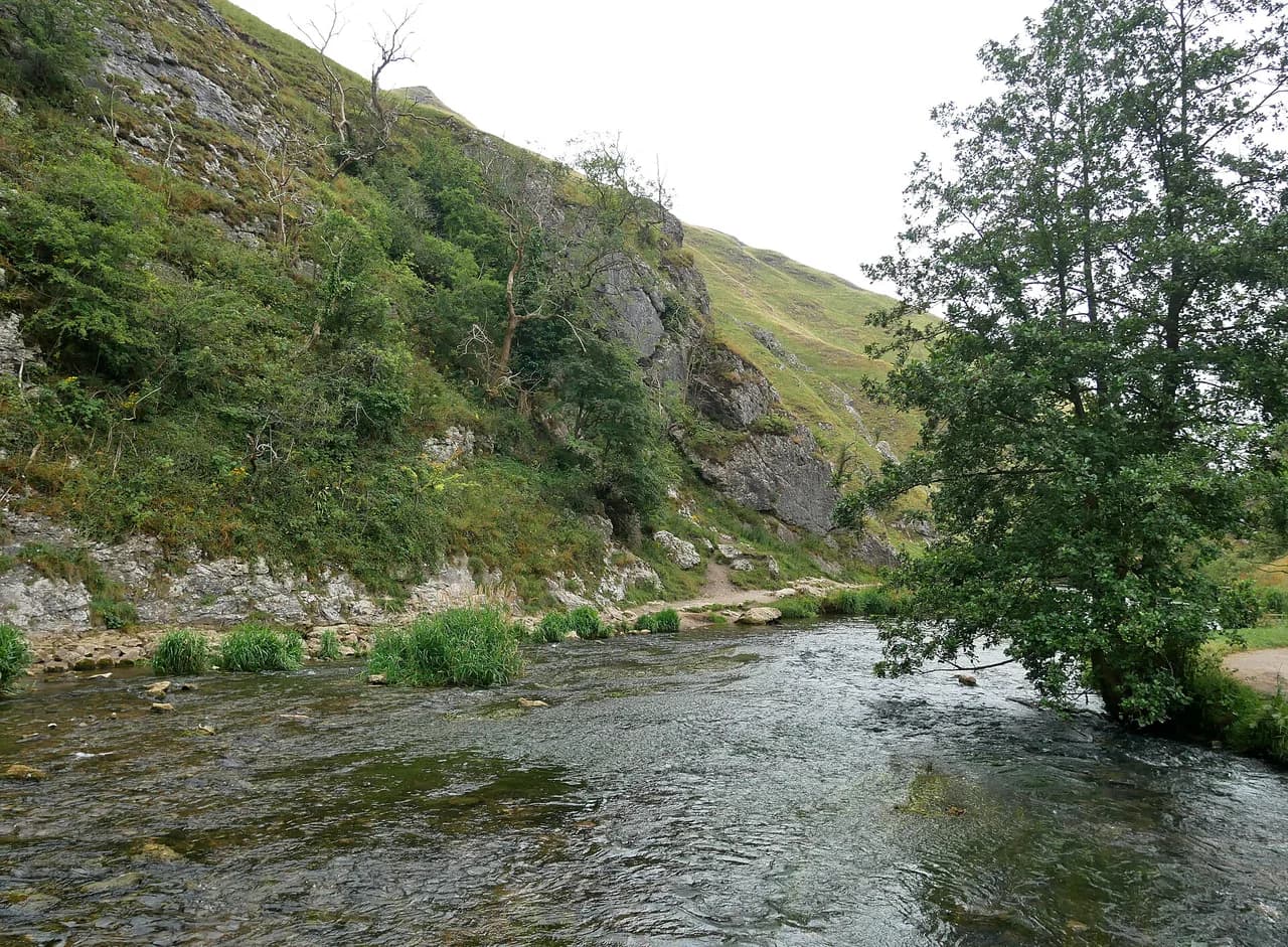
The Padley Gorge walk gives you two landscapes in one half day: the open parkland and pond of the Longshaw Estate, then a narrow wooded cleft where Burbage Brook tumbles over gritstone beneath sessile oaks and birches. It suits families and short-on-time hikers on the easy circuit, and stronger walkers who want a moorland edge and a rocky summit on the longer version.
Both routes start from the same National Trust car parks and cafés, so the choice comes down to time and appetite for rough ground. The short circuit stays on good paths with a short section of steep steps, while the longer route adds a clamber among the boulders of Higger Tor and a high traverse above the valley.
Where Padley Gorge sits and how the two routes differ
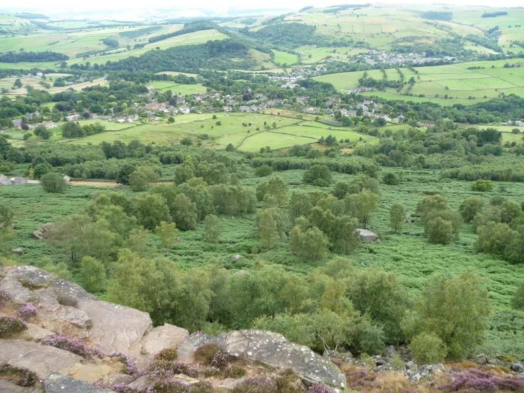
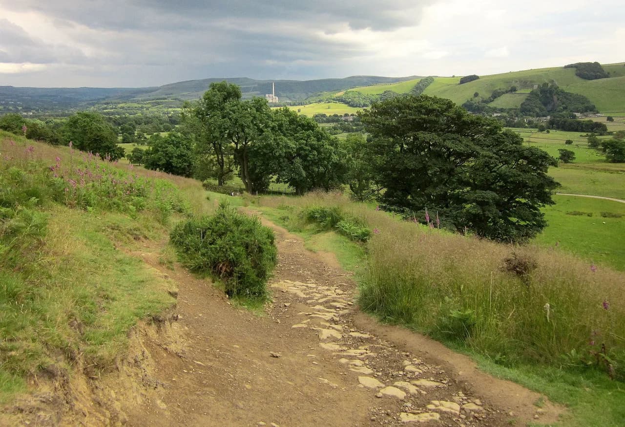
Padley Gorge lies just west of the A6187 Sheffield to Hathersage road, below the Longshaw Estate and above Grindleford. The brook runs north to south through the gorge, and the woodland clings to both banks before the water drops toward the railway at Grindleford. From the ridge above, the moorland of Lawrence Field and the gritstone tops of Higger Tor and Carl Wark frame the view.
The National Trust's waymarked circuit is the gentler option: 3.68 km (2.3 miles), rated easy, with a published duration of about one hour and a route marked with pink arrows. The longer version recorded by OS Maps runs 10.8 km (6.7 miles) at medium difficulty over roughly 3.5 hours, climbing to Higger Tor and following the top edge of Burbage Rocks before dropping back to the gorge.
If you have half a day and children or a dog with you, the short circuit is the obvious pick; the gorge floor is where the woodland interest is concentrated. Choose the longer route if you want a summit, wider views and a proper hill day, and accept that the section over Higger Tor involves picking a line among large stones.
Trailhead and parking
The short circuit starts and finishes at the Woodcroft car park on the Longshaw Estate, postcode S11 7TZ, with the visitor information centre and café a few minutes' walk away. There are also pay-and-display car parks at Haywood and Wooden Pole, and National Trust members park for free by scanning their membership card.
The estate sits beside the A6187 Sheffield to Hathersage road, roughly 12 km (7.5 miles) from Sheffield, so arriving by car is straightforward but the Woodcroft car park fills first on fine weekends. Parking charges are set by the National Trust and displayed at the machines on arrival, so bring a payment method; National Trust members park free but should bring their membership card to scan.
Getting there by train and bus
Grindleford station is about 1.6 km (1 mile) from the estate and Hathersage about 3.2 km (2 miles), which makes a car-free version realistic if you don't mind a walk in from the station. TM Travel buses 214 (Sheffield to Matlock) and 65 (Sheffield to Buxton) serve the area, as does the 272 Sheffield to Castleton service, which stops at Fox House Inn about two minutes from the estate.
In summer the open-top Peak Sightseer adds a scenic option: its Blue Route ran hourly between Chatsworth and Mam Tor, with Longshaw Lodge the stop for Padley Gorge and the estate. For 2025 that service ran daily from 24 May to 21 September, then weekends only from 27 September to 25 October, so check the current timetable on the Visit Peak District & Derbyshire page before planning a 2026 trip around it.
Distance, ascent and time
Set your expectations by the numbers rather than the map distance alone. The easy circuit is 3.68 km (2.3 miles) and about an hour of walking, with gates, a few stiles and one short flight of steep steps but no sustained climb. The longer Higger Tor route is 10.8 km (6.7 miles) and around 3.5 hours at medium difficulty, and the boulder section near the summit slows you down more than the distance suggests.
Neither published route gives a total ascent figure, so judge effort from the terrain: the short circuit loses and regains height between the estate and the brook, while the long route climbs from the valley to the moor edge and back. Add time for photographs in the gorge and for a stop at the cafés, which easily turns the short circuit into a half day.
Route description: Longshaw café and pond to Burbage Brook
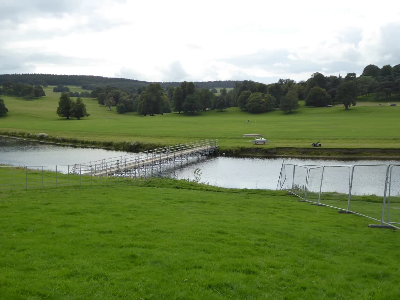
From Longshaw café, cross the drive and follow the path by the fence through a small gate, then turn right and drop downhill through rhododendron bushes to Longshaw pond. The pond dates from around 1827 and the lodge beside it was built at about the same time; keep the water on your right as you continue through Granby Wood toward Granby Barn.
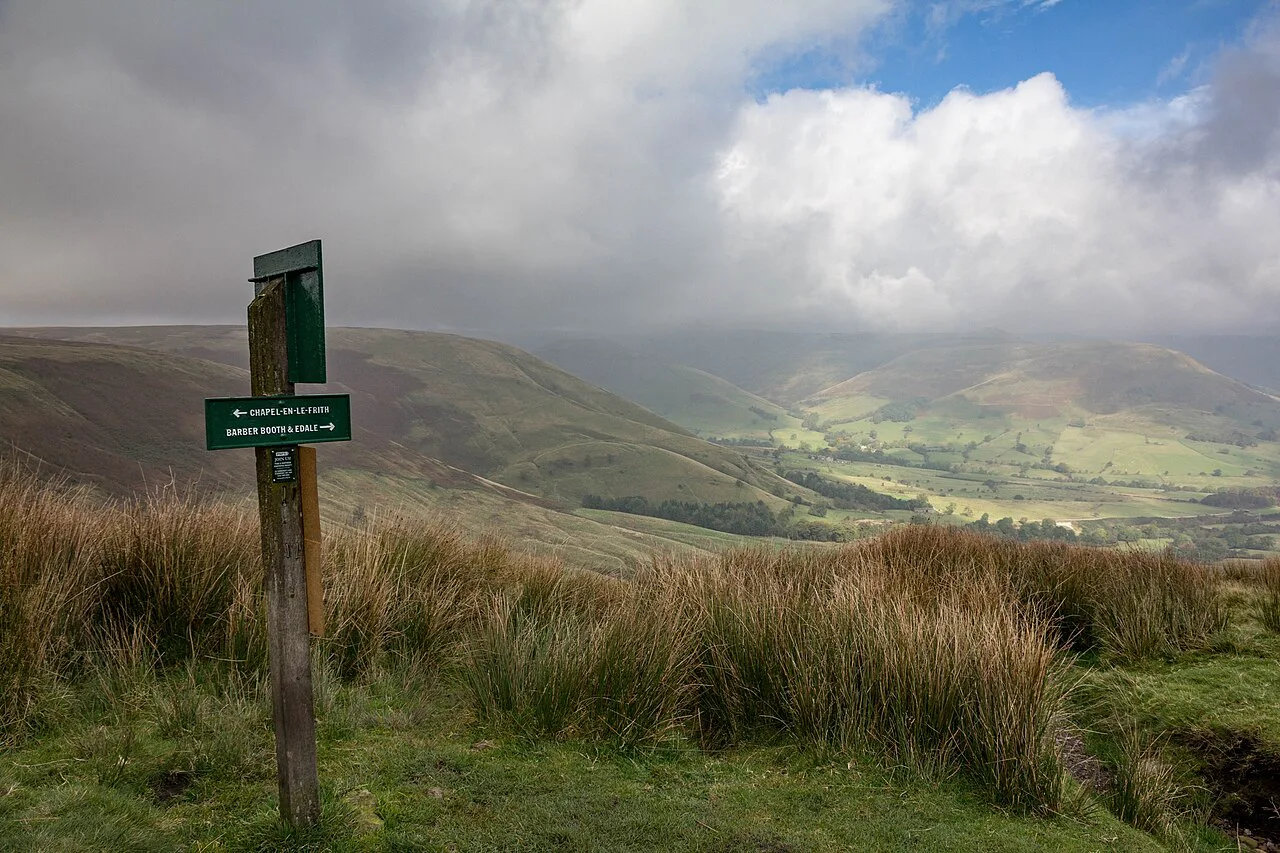
At Granby Barn, read the information boards, then take the path down to a small gate, cross the B6521 and go through the gate opposite. A run of steps drops to a wooden footbridge over Burbage Brook; the sunken track climbing away from the bridge is Hollowgate, once a packhorse route, and the gorge itself opens to your left.
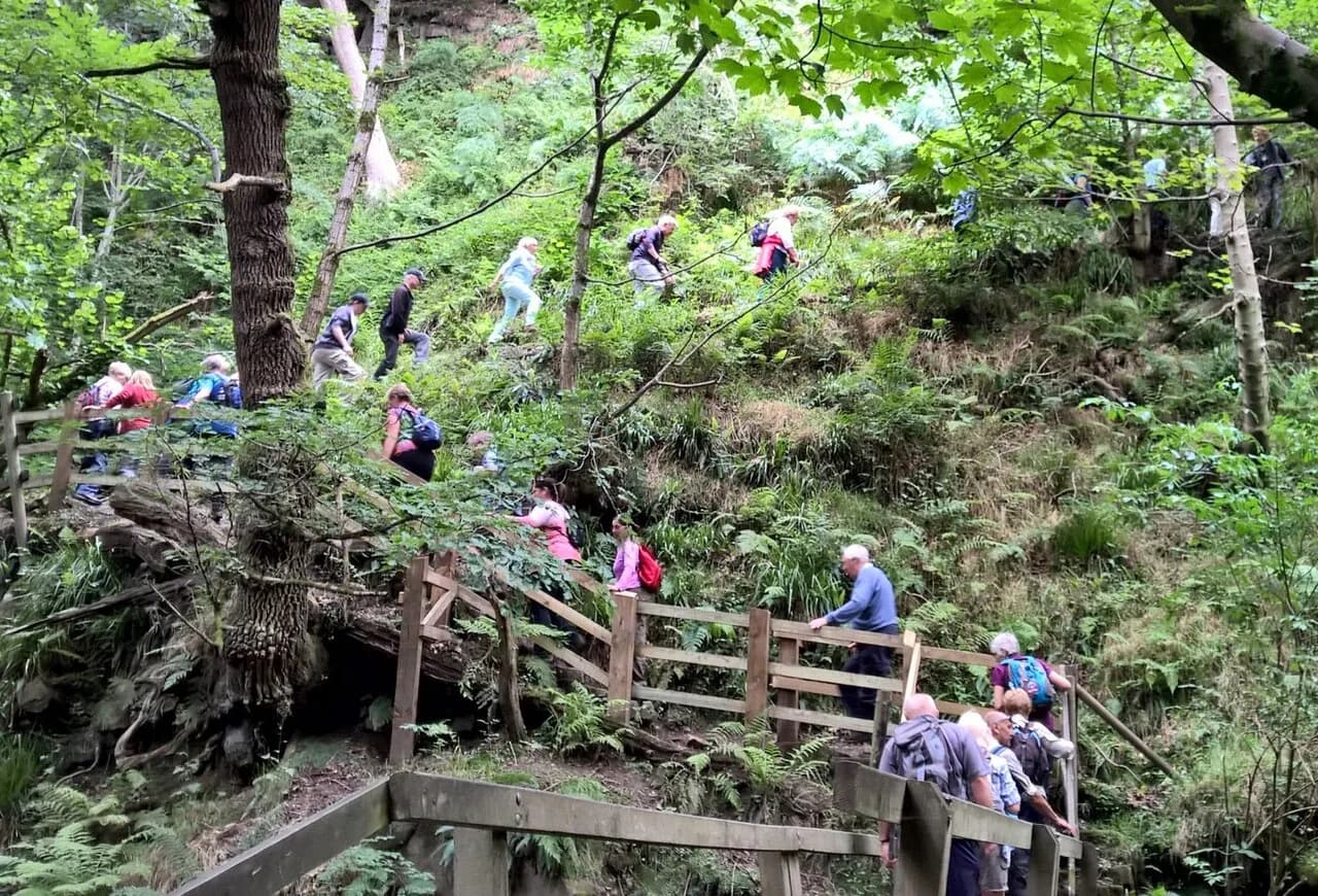
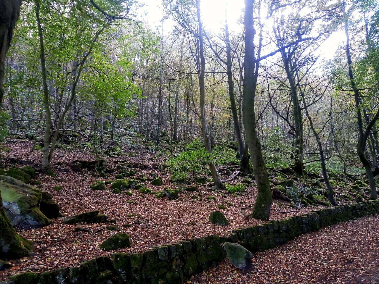
Follow the rough path upstream with the brook on your left into the ancient oak and birch woodland, ignoring the signposted turn to Surprise View and Bolehill Quarry. Where the path forks soon after, keep right and stay on the main line as it climbs steps and twists between the trees until it reaches a gate and a quiet lane with houses on both sides. The gorge path is rooty and can be greasy after rain, so grippy footwear matters more here than on the estate tracks.
Grindleford Station Cafe and the return through the estate
Follow the lane down to the T-junction, turn left past Padley Mill and cross the railway line to reach Grindleford Station Cafe, the natural halfway stop for refreshments. Beyond the café buildings, take the footpath on the left up steps to the B6521, turn left along the pavement for a few metres and cross to the steps opposite that lead into woodland.
Climb steadily through the trees, ignoring the turn marked with a yellow arrow and then the minor paths, until the gradient eases among young silver birches. Take the right-hand fork at the obvious junction, pass through the wide wooden kissing gate and follow the path back into the open fields of Longshaw, turning right onto the broad track at the signposted junction and then left at the crossroads for the visitor centre.
The final stretch runs about 900 m along the track to a wooden gate, then through a second gate back onto your outward path with Longshaw Hall on your right. Retrace your steps past the café to the visitor information centre and Woodcroft car park to close the loop.
The longer circuit via Higger Tor and Burbage Rocks
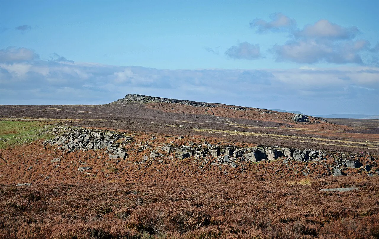
For the bigger day, head from the car park past the café and pond, cross the road and follow Burbage Brook northeast before crossing the A6187 and taking the broad track. Where a smaller path branches left, cross the bridge over the brook and climb the rocky path roughly northwards to Higger Tor, choosing your own line among the big gritstone blocks near the top.
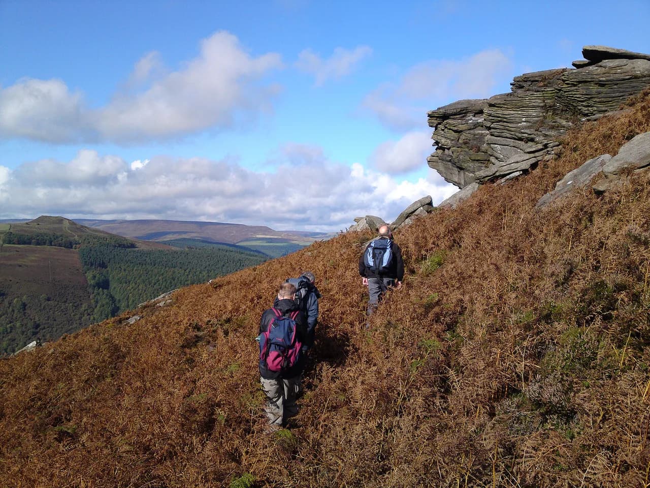
From Higger Tor, follow the well-marked path down toward Upper Burbage Bridge and then head southeast along the top edge of Burbage Rocks, where the views open down the valley toward Padley Gorge. The edge path brings you back to the A6187; cross it, take the path southeast to cross the A6521 and return to the car park. The escarpment edge is exposed to wind and weather, while the boulders on Higger Tor need hands in places and are best avoided in wet or icy conditions.
Cafés and water on the route
Refreshments bookend both routes: Longshaw café at the start and finish serves hot and cold meals, snacks and drinks and is open daily, with toilets on site. Grindleford Station Cafe sits roughly halfway round the short circuit, which makes it a sensible lunch stop rather than carrying everything.
There is no hut or overnight accommodation on this route, so treat it as a day walk and carry your own water. Burbage Brook is a natural stream rather than a treated supply, so fill bottles at the cafés before setting out instead of relying on the water in the gorge.
When to go
Autumn is the classic season here, when the oak and birch canopy above the brook turns and the woodland holds its colour. Late summer brings heather onto the moorland above the brook, and redstarts are noted between April and September, so spring and early summer reward birdwatchers on the walk up from the bridge.
Winter walking is feasible on the estate tracks but the gorge path becomes muddy and slick, and the Higger Tor boulders demand care when wet or frosty. Whatever the season, start early on weekends, because the car parks near the A6187 fill quickly and the wooded section is narrow enough that crowds change the pace.
Hazards, terrain and dogs
Expect a short flight of steep steps, several gates and stiles, and roots and mud beside the brook, all of which slow a family group more than the distance implies. On the long route the rocky clamber on Higger Tor and the exposed edge above Burbage Rocks are the places to watch the weather and turn back if cloud or wind closes in.
Dogs must be kept on a short lead here, including through the areas where cattle and ground-nesting birds are present. Stick to public rights of way, park only in designated areas and take litter home; BBQs and open fires are not permitted on this National Trust land.
Fees, permits and what to bring
There is no trail fee or permit for the Padley Gorge walk, and the route uses public rights of way and National Trust paths. The cost you will meet is parking: charges are pay and display at Woodcroft, Haywood and Wooden Pole, while National Trust members park free with their card.
Bring waterproof boots with decent tread for the gorge, a light shell for the exposed moor edge, and a map or the waymarked route to hand since phone signal in the wooded cleft can be patchy. Pack water and a snack even if you plan to eat at the cafés, and carry a headtorch in winter if you start late.
Nearby hiking options for a longer day
If the short circuit leaves you wanting more, the flat, traffic-free Monsal Trail and the limestone crags around Blackwell Mill and Chee Dale make an easy second day in the White Peak. For ridge walking with big views, the Mam Tor walk along the Great Ridge gives a very different, more exposed outing from the wooded shelter of Padley. If you enjoy matching routes to your energy and experience, our guide to hiking in Yorkshire Dales shows the same distance-and-level approach at another national park.
Closer to the eastern moors, the Bamford Edge walk and the Stanage Edge paths offer gritstone edges and reservoir views within a short drive of Longshaw. A Ladybower Reservoir walk suits a gentler leg-stretch, especially if you are combining hikes across a few days in the national park.
Plan Your Padley Gorge Day
Pick the short 3.68 km circuit if you want an easy hour in the woodland with a café at both ends, and the 10.8 km Higger Tor route if you want a summit and an edge walk in the same day. In both cases, park at Woodcroft early, keep dogs on a lead and save time for the gorge itself rather than rushing the brook section.
Check the National Trust's Longshaw page for current parking charges, café hours and any path diversions before you travel, then build the rest of your Peak District hiking plans around the days either side.
Frequently Asked Questions
How long is the walk around Padley Gorge?
The National Trust's waymarked circuit is 3.68 km (2.3 miles) and rated easy, with a published walking time of about one hour. The longer route over Higger Tor and along Burbage Rocks, recorded by OS Maps, covers 10.8 km (6.7 miles) and takes roughly 3.5 hours at medium difficulty.
Where do you park for the Padley Gorge walk?
Use the Woodcroft car park on the Longshaw Estate, postcode S11 7TZ, which puts you beside the visitor centre and café. Haywood and Wooden Pole are the other pay-and-display options, and National Trust members park free by scanning their membership card.
Is the Padley Gorge walk free?
There is no trail fee or permit for the walk itself, which uses public rights of way and National Trust paths. Parking is pay and display at the Longshaw car parks, with charges displayed on site, and National Trust members park without charge.
Can you reach Padley Gorge by train or bus?
Grindleford station is about 1.6 km (1 mile) from the estate and Hathersage about 3.2 km (2 miles). Buses 214, 65 and 272 pass nearby, with Fox House Inn roughly two minutes from the estate, and the seasonal Peak Sightseer stops at Longshaw Lodge.
Is the Padley Gorge walk suitable for families and dogs?
The short circuit suits families on good paths, though there are gates, stiles and a short section of steep steps. Dogs are welcome but must be kept on a short lead, including where cattle and ground-nesting birds are present.
When is the best time of year to walk Padley Gorge?
Autumn brings colour to the oak and birch woodland, and late summer puts heather on the moor above the brook. Redstarts are noted between April and September, while winter makes the gorge path muddy and the Higger Tor boulders slippery.
Sources
Trail notes for your next trip
Optional updates when we add or revise hiking guides.
You might also like
Continue reading
More guides you'll find useful