Easy Walks in the Yorkshire Dales: Which Route to Choose
Twelve easy Yorkshire Dales walks keep distance between 3 and 6 miles with limited uphill, from limestone pavements to riverside paths and quiet villages.
On this page
The Yorkshire Dales suits hikers who want a big day out without a big climb. Valley floors carry most of the walking, limestone shelves rise gently above the villages, and the short hills that do exist are usually over within twenty minutes. Most routes here can be finished in a half day, leaving the afternoon for a second short walk or a long lunch.
Picking a route is mostly about how much gradient you will accept. True valley-floor circuits such as Littondale and the Rawthey path at Sedbergh stay nearly flat, while Askrigg and Embsay Crag each include one short, steeper pull that rewards you with a view. Read each entry for where the uphill starts so you can turn back if the weather or your legs say no. If you are weighing this against another region, easy walks in the Brecon Beacons follow the same logic of short low-ascent routes.
Why the Dales Suits Easy Walking
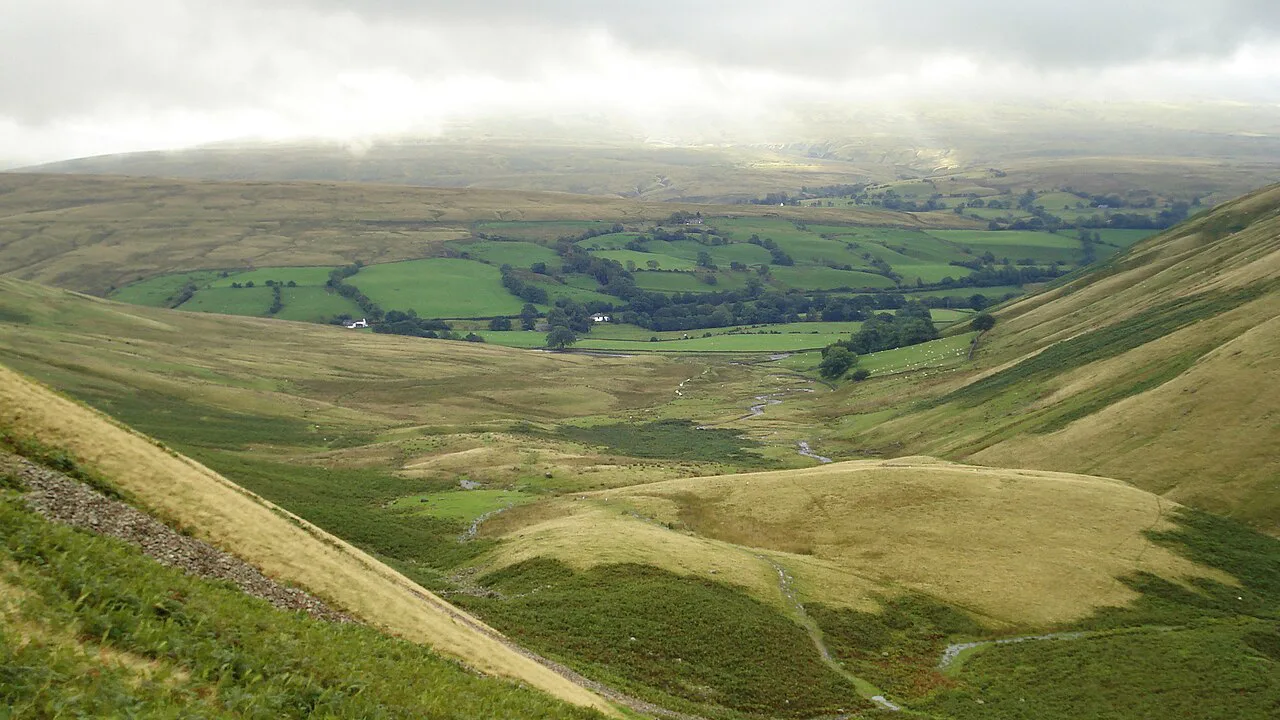
The national park is built around a network of dales, each with a river, a string of villages and a floor that rarely climbs. A large group of short routes across the Dales runs between roughly 3 and 6 miles (5 and 10 km) with limited uphill walking, which puts them comfortably inside half a day. That range is the useful filter when you are choosing between a dozen options.
Two landscapes define the easy walking. Limestone country around Ingleborough, Malham and Grassington gives you pavement, scars and dry valleys on gentle ground, while the northern dales of Wensleydale and Swaledale give you hay meadows, field barns and riverside tracks. A third option is reservoir and woodland walking, which is flatter still and works when the tops are clouded in.
Moorland edges are the one place where an easy route can feel serious. Above Grassington and around Ribblehead the ground is open, the wind is constant and afternoon rain arrives without warning. Carry a shell jacket on any route that leaves the valley floor, even in July, and treat an early start as the simplest way to dodge the worst of it.
Ingleborough Nature Reserve and Sulber Nick
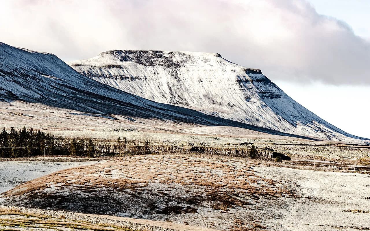
This is the finest limestone walking in the Dales, and it stays low. The route covers the Ingleborough Nature Reserve and the ground around Sulber Nick, where clints, grykes and flower-rich grassland spread across an easy plateau below the mountain itself. It gives you the classic limestone scenery without the summit slog.
Walk carefully on the pavement: the grykes between the limestone blocks are deep enough to twist an ankle, and the surface is slick after rain. Stay on the marked ground where it is worn, and keep to the path where the reserve asks you to, since the flora in the grikes is fragile.
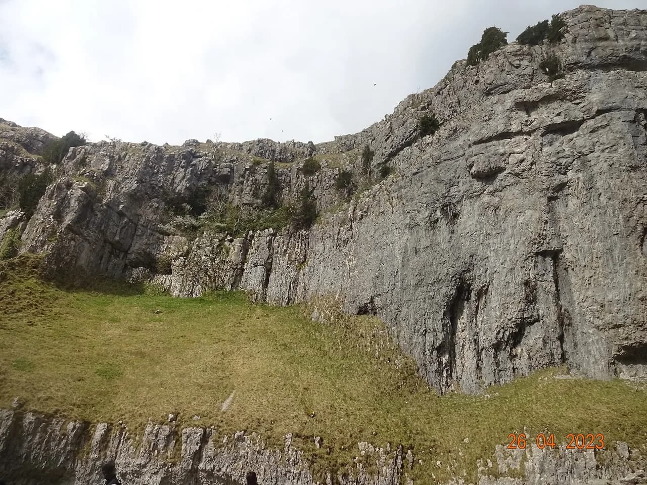
For a different limestone day, the Malham Cove Walk combines the curved cliff with Janet's Foss and Gordale Scar on a loop of around 4.5 miles (7 km), though the climb onto the pavement above the cove is steeper than anything on the Ingleborough reserve. Treat it as the next step up rather than an easy alternative.
Ribblehead: Viaduct, Quarry and Blea Moor Tunnel
Ribblehead is famous for its viaduct, but the easy walk here looks past it. A short route visits the old quarry, the Blea Moor Tunnel and the ground below Whernside, Yorkshire's highest summit at 736 m (2,415 ft), without climbing it. You get the railway engineering and the mountain profile in one low outing.
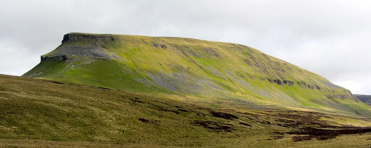
The climb of Whernside belongs to the Yorkshire Three Peaks circuit, a much harder day that links Pen-y-ghent, Whernside and Ingleborough. If you want the mountain itself rather than the view of it, plan that challenge properly; if you want a half day, stay on the valley tracks and enjoy the viaduct from below.
Ribblehead station sits on the Settle–Carlisle line, which makes a linear version of this walk possible without a car. Arrive by train, walk the tracks toward the tunnel and quarry, and return to the station. Check the day's service times with Northern, which runs the Settle–Carlisle service, before you commit, since a rural timetable is not something to guess at.
Littondale from Litton
Littondale is the quintessential Dales valley, and the walk from Litton stays on the valley floor. The route follows the dale bottom past field barns and drystone walls, with the classic Yorkshire scene opening up at every turn. It is the walk to choose if you want gentle mileage and constant scenery rather than a viewpoint.
Because the ground is level, this is the best option in the guide for mixed-ability groups, older walkers and anyone carrying a child. The trade-off is that the valley gives little shelter, so take waterproofs even on a promising morning. Mud after rain is the main nuisance rather than any difficulty underfoot.
Wensleydale between Hawes and Burtersett
This linear walk between Hawes and Burtersett delivers a wide panorama across Wensleydale for very little effort. The route links the two settlements across open ground above the valley, so you get the view down the dale without a sustained climb. It is one of the shortest outings in this list.
Walk it one way and arrange a pickup at the far end, or treat it as an out-and-back and turn at the best viewpoint. The ground is rough pasture rather than engineered path, so boots beat trainers after wet weather. Hawes makes the obvious base for the day.
Askrigg Waterfalls
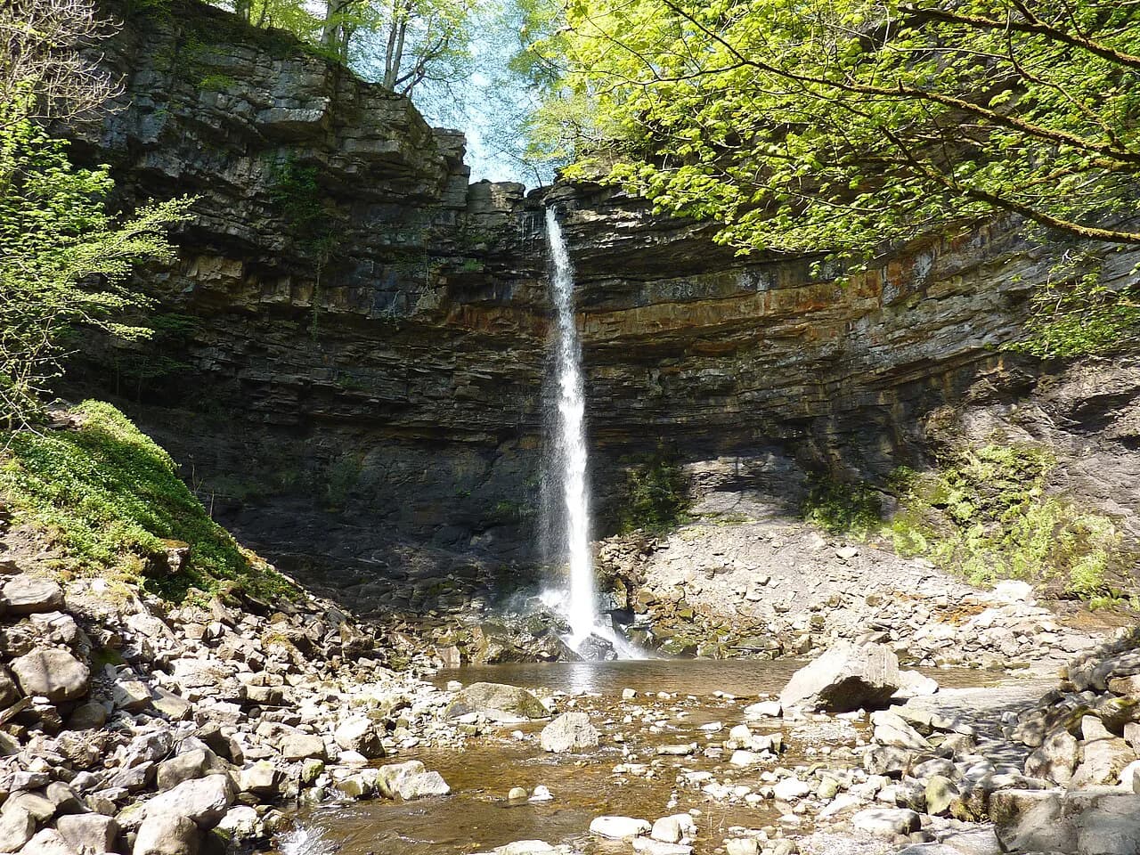
From Askrigg the route climbs briefly to a cluster of waterfalls before returning on a track with fine views down Wensleydale. The climb is short, and the reward is the falls at the top of it. After that the walk is mostly about the descent and the outlook.
This is the pattern for most easy Dales walks with a view: one short, steep section, then easy ground. Pace the climb, take it slowly on wet rock near the falls, and the rest of the route will feel gentle. The return track is the place to enjoy the panorama rather than rush.
Grass Woods and the View over Grassington
Grass Woods combines limestone scenery with woodland, which is rarer in the Dales than you might expect. The loop above Grassington passes through the woods and opens onto views over the village and the dale beyond. It is a good choice in spring, when the woodland is at its best.
Limestone walking and tree roots make for uneven ground, so watch your footing on the wooded sections. The route is short enough to fit into an afternoon and pairs well with the village itself. Grassington is a natural base for several of the walks in this list.
Feizor and Austwick
Two attractive villages anchor this stroll around Crummockdale. The route links Feizor and Austwick across the fields, giving you drystone walls, hay meadows and limestone outcrops in a compact circuit. It is the easy walk for anyone who likes villages as much as views.
Stiles and gates break up the field sections, which makes this a slower walk than the distance suggests, especially with a dog or a small child. The compensation is that the villages give you a clear start and finish and plenty of places to sit. Use Austwick as your base if you want an early start.
Embsay Reservoir and Embsay Crag
Above Skipton, the walk to Embsay Reservoir is as far as many visitors go, and the reservoir circuit alone is flat and easy. The extra pull up to Embsay Crag is where the uphill starts. Decide at the reservoir whether you want the summit view or a lakeside loop.
Stopping at the water gives you a genuine easy walk; continuing to the crag adds a short climb and a wider outlook. Neither version is long, which makes this a good half-day choice near the southern edge of the Dales. The reservoir path is the more sheltered of the two.
Beamsley Beacon: The Easy Summit
Beamsley Beacon is a summit you can reach without committing to a mountain. The hill near Bolton Abbey has a straightforward climb to a top that feels far more remote than its height suggests, and it is quiet compared with the nearby estate paths. Once up there, most walkers want to keep going along the ridge.
This is the entry point for anyone who wants a hill day rather than a valley day. The ascent is gentle enough for a half day, and the summit gives you open views across the southern Dales. Expect wind on top and choose a clear morning if you want the panorama.
The Old Gang near Reeth
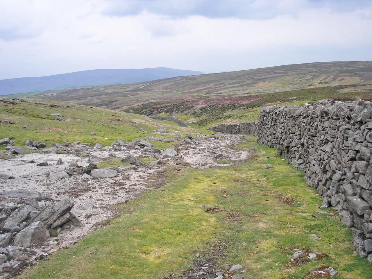
Slightly longer than the rest but very easy underfoot, the Old Gang walk from near Reeth follows good tracks through the industrial heritage of the Dales. Old mine buildings and spoil heaps sit in the moorland landscape, giving the walk a different flavour from the limestone and meadow routes.
The tracks make this the best option for anyone who wants a bit more distance without a steep climb. Weather on the moor above Swaledale changes quickly, so carry a layer even if Reeth itself is mild. Allow a full half day rather than a quick hour.
Sedbergh and the River Rawthey
Sedbergh pairs England's book town with a pretty riverside stroll along the River Rawthey. The path follows the water at a gentle grade, giving you an easy out-and-back or a short circuit without any climb worth mentioning. It is the flattest walk on this list and the most reliable in poor weather.
The town end of the walk gives you a clear starting point and easy parking, and the riverside is a good place to turn around whenever you like. River paths can flood after heavy rain, so keep to higher ground if the water is up. Sedbergh sits on the western edge of the Dales, close to the Howgill Fells.
Muker and Swaledale Hay Meadows
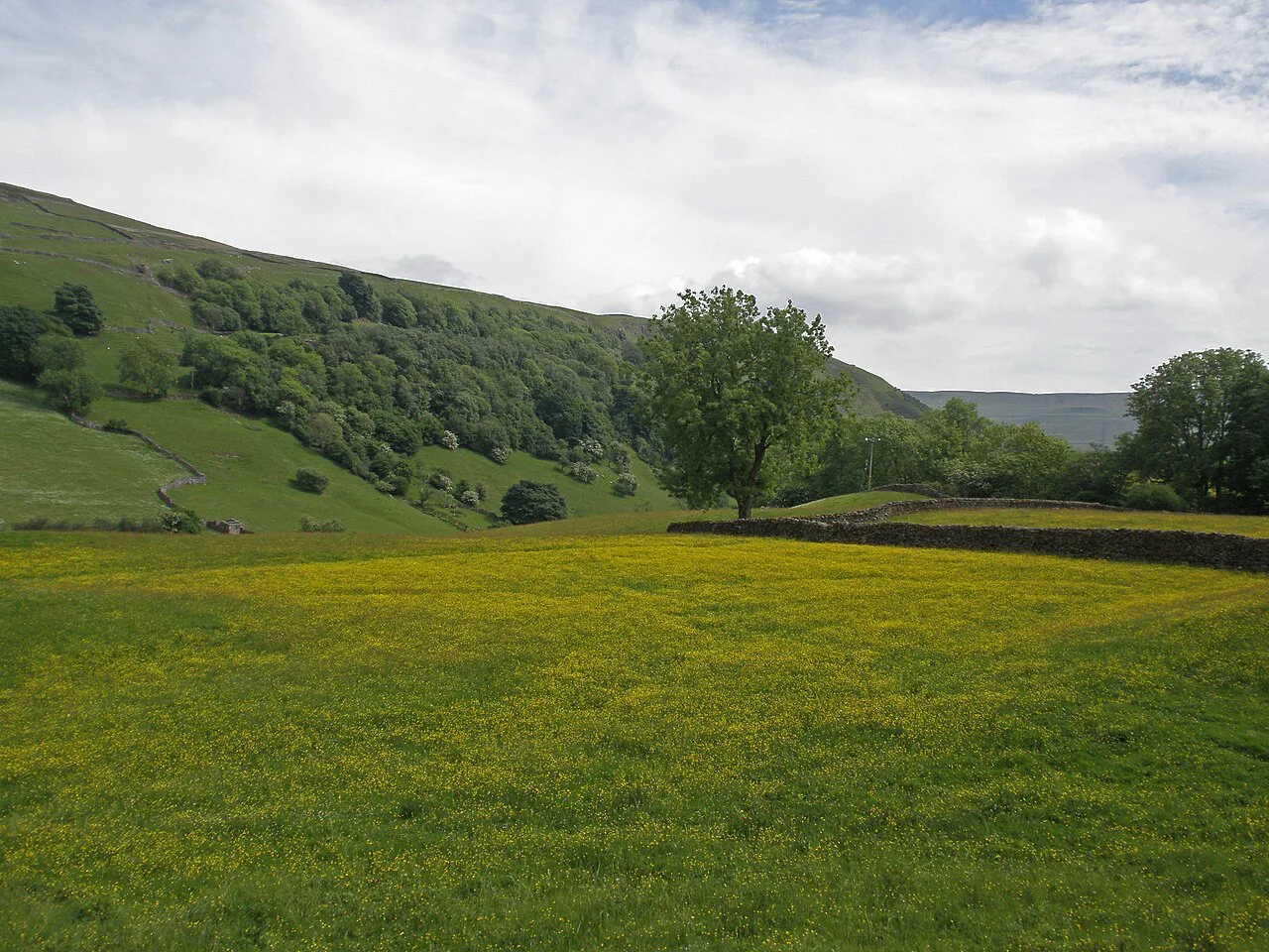
The top end of Swaledale is the loveliest part of the dale, and this short walk shows off its villages and tranquil scene. The route can be stretched or shortened to suit your time, which makes it a flexible option at the end of an afternoon. In early summer the hay meadows are the main attraction.
The hay meadows around Muker are managed in the traditional way, so keep to the path through them and do not pick the flowers. The compensation for the meadow sections is that the gradients are gentle throughout. Muker works well as a base for a slow day in Swaledale.
Thruscross Reservoir and Snaizeholme Red Squirrels
Thruscross Reservoir is the quietest and most interesting of the three reservoirs near Blubberhouses. The path around the water is gentle, making it a good choice when the weather is changeable or you want something flatter than the dale routes. Reservoir sides rarely climb much, so you can walk as far as you feel like.
Snaizeholme is the best place in the Dales to watch red squirrels, and the woodland setting gives you a short, easy walk at the same time. Keep noise down and stay on the paths, since the squirrels are the reason the area is a draw. Both reservoir and woodland options are short enough for a half day.
When to Go
The hay meadows in Swaledale peak in early summer, and the limestone flowers around Ingleborough are best then too. Spring and early autumn give you clearer air on the easy summits at Beamsley and Embsay Crag, while high summer is when the valley-floor routes at Litton, Sedbergh and Muker are at their most pleasant.
Open moorland is the wild card. Wind, rain and low cloud arrive quickly above Grassington and Ribblehead, so keep a short, low-level alternative in mind for every moorland day. Walking the valley floor when the tops are clouded in is not a compromise; it is often the better half day.
Getting to the Trailheads
The Settle–Carlisle line makes a car-free Dales walking day genuinely practical. Ribblehead station puts you right below the viaduct and Whernside, and other stations along the line give access to the valley routes. For a linear walk with a train at one end and a pickup at the other, look up Northern's timetable in advance so the day fits together.
Village bases matter as much as transport. Hawes suits the Wensleydale and Askrigg walks, Grassington is right for Grass Woods and the southern dales, Reeth serves Swaledale and Muker, and Sedbergh sits at the western edge. Pick one base and build a few half days around it rather than driving between trailheads each morning.
Many trailheads on the easy walks are roadside or village-based, so arrive early on fine weekends when the valley parking fills. A couple of car parks along the popular estate edges charge a fee, and those charges vary from year to year, so check the operator's information for the site you plan to use rather than relying on older figures.
Matching a Route to Your Day
Start with the amount of uphill you actually want, not the scenery. Valley-floor routes at Litton, Sedbergh and Muker take almost any fitness level; Askrigg, Embsay Crag and Beamsley Beacon each add a single short pull for a view. Limestone country around Ingleborough and the reservoir and woodland paths at Thruscross give you a middle ground without a summit.
Build a half-day around one short walk and a second, flatter one in the afternoon rather than chaining several climbs together. With the Settle–Carlisle line and a single valley base, you can leave the car parked for most of the trip and still reach the trailheads. That is the trade-off that makes the Dales such good easy walking: modest distances, real scenery and no need to rush.
If you want a waterfall day with real drama, the Ingleton Waterfalls Trail follows the River Twiss and the River Doe through a private wooded gorge on a paid per-person ticket, a step up in grade and cost from the quiet loops above. Keep it as a separate outing rather than bolting it onto a valley-floor morning.
Frequently Asked Questions
What is the easiest walk in the Yorkshire Dales?
The riverside path along the River Rawthey at Sedbergh is the flattest option, with almost no climb and a clear out-and-back. The reservoir circuit at Thruscross and the valley-floor route from Litton are similarly gentle. All three suit mixed-ability groups and can be shortened at any point.
Which Dales walks are flat?
The Sedbergh riverside, the Littondale valley walk, the Thruscross Reservoir path and the Muker route all stay on low ground. The Embsay Reservoir circuit is flat as long as you skip the crag. The Wensleydale walk between Hawes and Burtersett is gentle with only minor undulation.
Can you get around the Yorkshire Dales without a car?
Yes, partly. The Settle–Carlisle line gives access to Ribblehead and the surrounding valley walking, and you can arrange pickups at the end of linear routes. Service times vary, so check the timetable before relying on a train for a one-way day.
What are the best circular walks in the Yorkshire Dales for an easy day?
The limestone route on the Ingleborough Nature Reserve, the reservoir loop at Embsay, Grass Woods above Grassington and the Feizor and Austwick circuit all work as easy circular walks. Each can be shortened if the weather turns. Littondale and Sedbergh offer out-and-back alternatives.
How long is the Dales Way?
The Dales Way is a long-distance route running through the Dales, and it is a much bigger undertaking than any of the short walks described here. If you want to sample it, walk a short section from a village base rather than attempting the full trail. Full route details sit with the trail's official body.
Does the Yorkshire Dales have mountains?
Yes. Whernside is the highest summit in Yorkshire at 736 m (2,415 ft), and Ingleborough and Pen-y-ghent rise around it. The easy walks here stay below those tops, though Beamsley Beacon and Embsay Crag give you a small hill day without a full mountain ascent.
When are the hay meadows best in Swaledale?
The traditional hay meadows around Muker are at their best in early summer, before the grass is cut. Walk through them on the path and leave the flowers alone. Spring and early autumn are quieter on the same routes.
Sources
Trail notes for your next trip
Optional updates when we add or revise hiking guides.
You might also like
Continue reading
More guides you'll find useful