Yorkshire Three Peaks: Route, Distance and 12-Hour Day Plan
Walk the Yorkshire Three Peaks from Horton-in-Ribblesdale: 24.5 miles, around 1,600 m of ascent, route order, alternate starts and a realistic 12-hour plan.
On this page
The Yorkshire Three Peaks is the classic endurance day of the Yorkshire Dales: a single circuit over Pen-y-ghent, Whernside and Ingleborough, the three highest summits in the national park. It suits walkers who already handle long days on rough ground and want a genuine test rather than a stroll. The traditional target of 12 hours is a tradition, not a rule, and many walkers take longer and enjoy it more. If you are weighing up long days elsewhere in northern England, hiking in Northumberland offers a quieter alternative benchmark.
The route at a glance
The full circuit measures 39.2 km (24.5 miles) with roughly 1,600 m (5,250 ft) of total ascent, and it is usually walked as one continuous day.
Route variations and detours push the quoted distance to between 24 and 26 miles, so treat any single figure as the classic line rather than a fixed measurement. The whole route sits on Ordnance Survey Explorer map OL2, which covers all three summits and the connecting valleys.
This is one day on foot inside the national park, not the National Three Peaks, which links Ben Nevis, Scafell Pike and Snowdon by road and is a different challenge altogether. If you want shorter days in the same landscape, the wider collection of walks in yorkshire dales gives you lower-level options that share the same villages and valleys.
The three summits compared
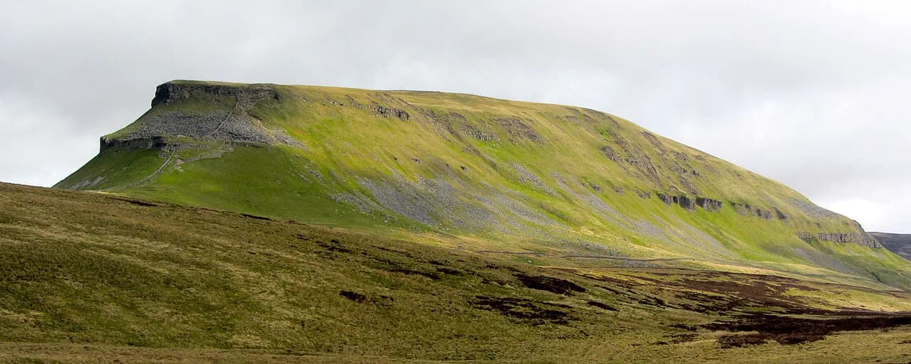
Whernside is the highest at 736 m (2,415 ft), Ingleborough follows at 723 m (2,372 ft) and Pen-y-ghent is the lowest at 694 m (2,277 ft). Height alone misleads: Pen-y-ghent gives the steepest, rockiest start, Whernside has the most gradual climb of the three, and Ingleborough hides a sharp pull to a flat summit plateau.
Ingleborough's top is capped by the ramparts of an Iron Age hill fort, and the final push onto the plateau is steep enough to feel brutal on tired legs. The broad summit gives you room to recover and long views back over the route you have already walked.
Pen-y-ghent involves hands-on scrambling on its rocky upper section, so it rewards fresh legs and dry conditions. Whernside, despite being the biggest hill, is the kindest climb and the one most walkers are happiest to meet late in the day.
Distance, ascent and time
The 12-hour target works out at about 3.5 km/hr including short breaks and a lunch stop, which is a steady plod rather than a fast walk. Add the ascent and it becomes clear why drop-out rates are high among walkers who underestimate the day.
Treat the target as a benchmark for a supported attempt rather than a requirement. A summer start at first light gives you around 15 hours of daylight, which turns a 12-hour push into a comfortable full day with proper stops.
Guided operators structure the same three summits across two walking days, with one day covering Pen-y-ghent at 21 km (13 miles) and 680 m (2,200 ft) of ascent and the next taking in Whernside and Ingleborough at 22.5 km (14 miles) and 900 m (3,000 ft). That split shows how much of the effort sits in the second half of the single-day version.
Start at Horton-in-Ribblesdale
Horton-in-Ribblesdale is the traditional start and finish, and the village car park is the obvious base for a self-supported attempt. Street parking exists but is limited, so an early arrival matters on summer weekends.
The village has its own railway station on the Settle-Carlisle line, which makes it reachable without a car and gives you a fallback if you stop early. The same line calls at Ribblehead, so a walker who abandons the circuit after Whernside can ride back rather than walk the remaining miles.
The circuit is often described as starting and finishing at a café in the village, but the café has been closed for some time, so plan your start without relying on it for check-in or food.
Alternative starts at Ribblehead and Chapel-le-Dale
The challenge can legitimately begin from Horton-in-Ribblesdale, Chapel-le-Dale or Ribblehead, and the organisers confirm your meeting point when you book a guided attempt. Choosing Ribblehead or Chapel-le-Dale shortens the flattest approach miles and puts you onto the big climbs sooner.
Parking at these smaller starts is limited and free, so an early arrival is part of the plan rather than an afterthought. The payoff is dodging the summer conga line of walkers leaving Horton together on a Saturday morning.
Starting elsewhere changes the shape of the day, not the distance rule: you still cover the three summits, but the long flat opening and closing miles from Horton are trimmed. Groups that need to finish by a set time often find this the more predictable format.
Horton to Pen-y-ghent summit
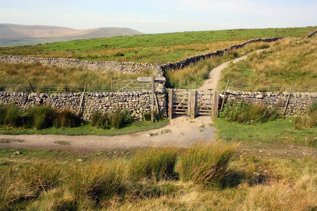
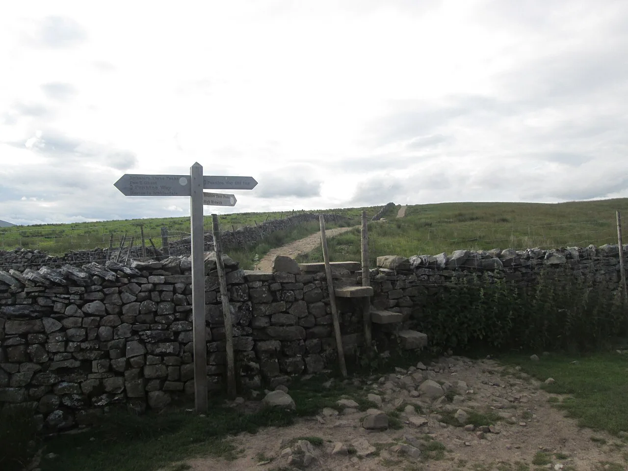
From Horton the route follows tracks and fields before joining the Pennine Way, so the day opens gently while your legs are fresh. The climb then turns steep and rocky as it crosses alternating bands of limestone and shale on the way to the summit.
The rocky upper section involves hands-on scrambling, and queues can form at the awkward steps on busy weekends. Exposure is real here: wind and rain arrive with little warning on this edge, so keep a shell within reach rather than buried in your pack.
A short detour from the summit leads to Hull Pot, a large sinkhole worth the extra minutes if your schedule has slack. Take it only if you are ahead of pace, because the miles between Pen-y-ghent and Ribblehead are longer than they look on the map.
The moor crossing to Ribblehead Viaduct
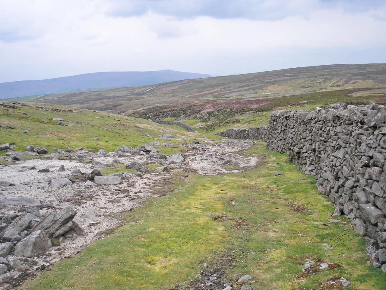
Between Pen-y-ghent and Whernside the route crosses rough, often boggy moorland, with sections that have been paved in recent years but plenty of wet ground remaining. Expect slower going than the distance suggests and keep your map and compass handy for the path junctions.
The descent from the Pen-y-ghent massif drops along steep grassy slopes, with views west across Ribblesdale toward Whernside and Ingleborough. The crossing ends at the many-arched Ribblehead Viaduct, one of the most photographed structures on the Settle-Carlisle line.
From Ribblehead the climb onto the Whernside ridge begins beside the railway, with a small visitor centre at the station giving background on the line. The gradient settles once you reach the ridge, making this the most forgiving ascent of the day.
Whernside and the descent to Philpin Farm
The ridge leads gently to the summit trig point and stone shelter, with views across to Ingleborough and down onto the railway as it runs from Horton toward Dent. This is the place to eat and drink properly, because the descent is steeper than the climb you have just done.
A steep, stepped descent drops to the road near Philpin Farm, where refreshments are served at weekends between April and October plus bank holidays. Do not build your water plan around that stop, because a midweek attempt will find it shut.
From the farm the route crosses fields before the steady, stepped pull onto Ingleborough. This is where tired legs make themselves known, so shorten your stride and keep the effort even.
Ingleborough and the return to Horton
The last rise onto Ingleborough is short and steep, ending on a broad plateau ringed by the remnants of the Iron Age hill fort. On a clear day the view runs to Morecambe Bay and the Lakeland fells, which is the reward for the day's biggest effort.
The descent back to Horton is long and mostly gentle, roughly six miles of falling ground that still hurts after the climbing. If you are chasing a time, this is where the clock is won or lost, because the gradient lets you move quickly without steep, jarring steps.
Clockwise or anticlockwise
Most walkers go clockwise, taking Pen-y-ghent first while fresh, which puts the scrambling behind you early. The trade-off comes late: Ingleborough's steep slopes arrive when your legs are emptiest.
Anticlockwise reverses everything: a gentler climb up Ingleborough, a steeper pull up Whernside and a scrambling descent off Pen-y-ghent at the end. It is doable and can be quieter, but descending the rocky section on tired legs needs care.
A third option puts Ingleborough first so the hardest climb is done early and the day finishes on Whernside's gentler ground. Choose based on whether you would rather front-load the difficulty or save your legs for the middle of the day.
When to go
Late spring to early autumn gives the longest daylight and the driest ground, which matters most on the boggy moorland between the first two summits. Summer weekends bring the heaviest foot traffic, so a weekday or an early start improves the day considerably.
Winter attempts are possible but demand navigation skill, more daylight planning and comfort on icy steps. On any attempt, watch the forecast for afternoon storms on the tops; turning back before Ingleborough is a legitimate decision, not a failure.
Water, food and refreshment stops
There are few reliable places to refill on the circuit, so carry enough water for the full day and treat any café or farm stop as a bonus. The weekend opening at Philpin Farm between April and October is the most dependable of those stops.
Eat on a schedule rather than waiting for hunger, especially on the moor crossing where the ground slows you down. Pack high-calorie food you can eat while walking, and keep a separate emergency ration untouched at the bottom of the pack.
Kit and fitness
The day combines almost marathon distance with three big climbs and steep descents, so regular hillwalking over rough, boggy and rocky ground is the right training. Footwear with good grip and support matters more than whether you choose boots or trail shoes, and trekking poles help on the long descents.
Carry waterproofs, warm layers, a map and compass, a headtorch and an emergency blanket even in summer, because conditions on the tops change fast. A GPS is useful but should not replace the paper map on a route with few obvious landmarks in poor visibility.
Where to stay
Horton-in-Ribblesdale, Ingleton, Settle and Chapel-le-Dale all hold bed and breakfast and hotel accommodation within reach of the route, with campsites at Horton and Ingleton. Some places will serve an early breakfast and make a packed lunch if you ask ahead, which suits a dawn start.
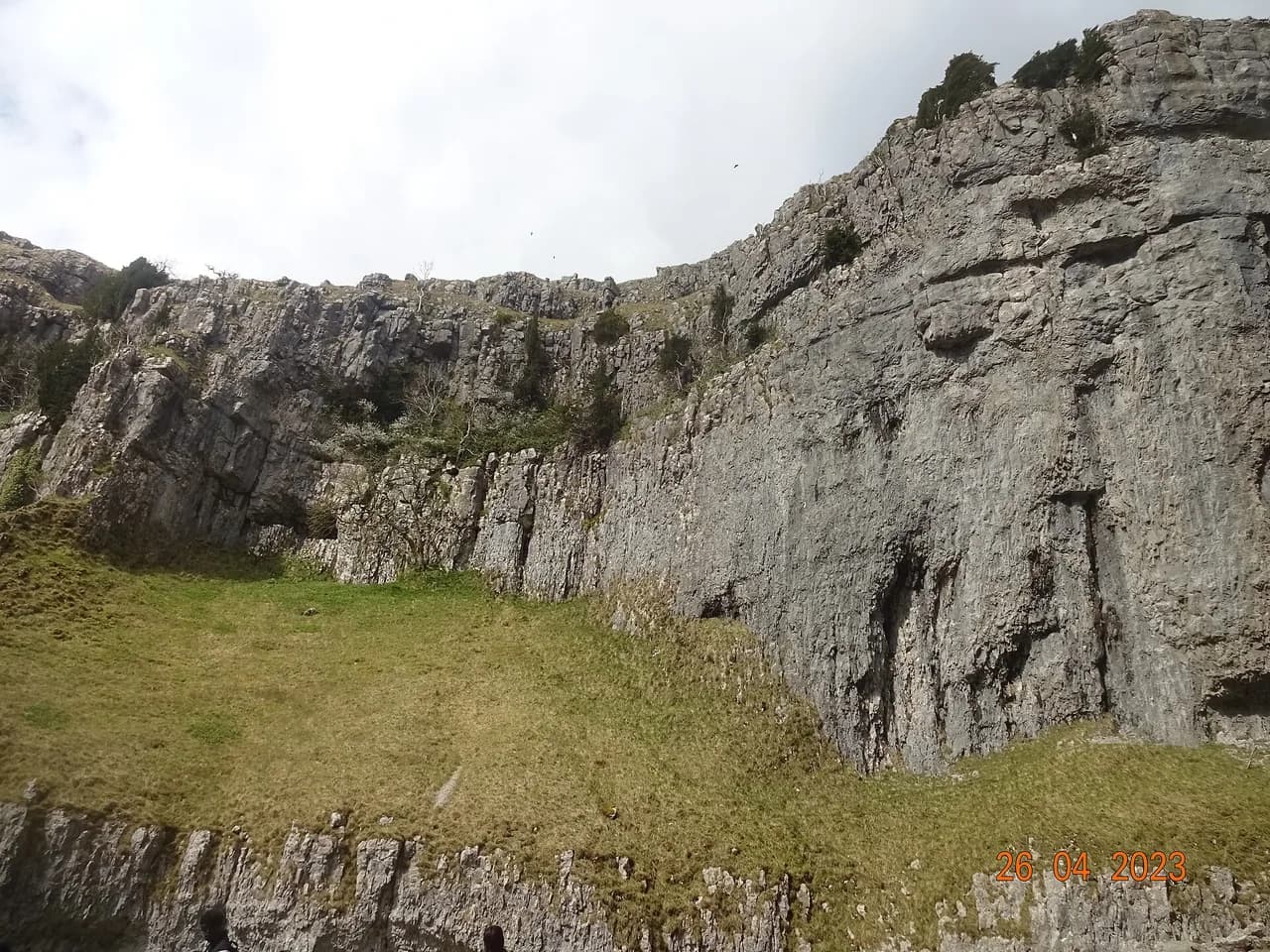
Malham, south of the route, makes a comfortable base if you want to mix the challenge with lower-level walking days. The Malham Cove Walk and Janet's Foss sit a short distance from the village and give your legs an easier outing the day after.
Guided versus self-supported
A led attempt puts navigation, pace and safety decisions in the hands of a Mountain Training qualified leader, which suits first-timers or groups who would rather not manage the route themselves. Guided prices are charged per person, with the listed rate at the time of writing at £80 for one to ten walkers and dropping for larger parties.
Self-supported attempts cost nothing beyond your own logistics and give you freedom over start time and route order. The trade-off is that you carry everything, make every navigation call and manage your own safety on a route with long, exposed sections.
Hazards and how to respond
Pen-y-ghent's rocky start is exposed to wind and rain, and the scrambling steps can queue on busy days, so keep hands free and give others room. The moor crossing between the first two summits is wet and pathless in places, which is where navigation errors accumulate.
On the tops, cloud can drop visibility in minutes, so know your bearing off each summit before you need it. If a storm builds in the afternoon, turn back rather than pressing onto Ingleborough's exposed plateau.
The route is popular, and the pressure on fragile ground is real, so stay on marked paths, carry your litter out and consider a donation to path repair. That keeps the circuit in condition for the walkers behind you.
Plan Your Visit
The Yorkshire Three Peaks rewards preparation more than raw fitness: pick your start, decide your direction, and set a pace you can hold for 39.2 km (24.5 miles). Horton-in-Ribblesdale gives you the classic line and a railway fallback, while Ribblehead and Chapel-le-Dale trim the flat miles and the crowds.
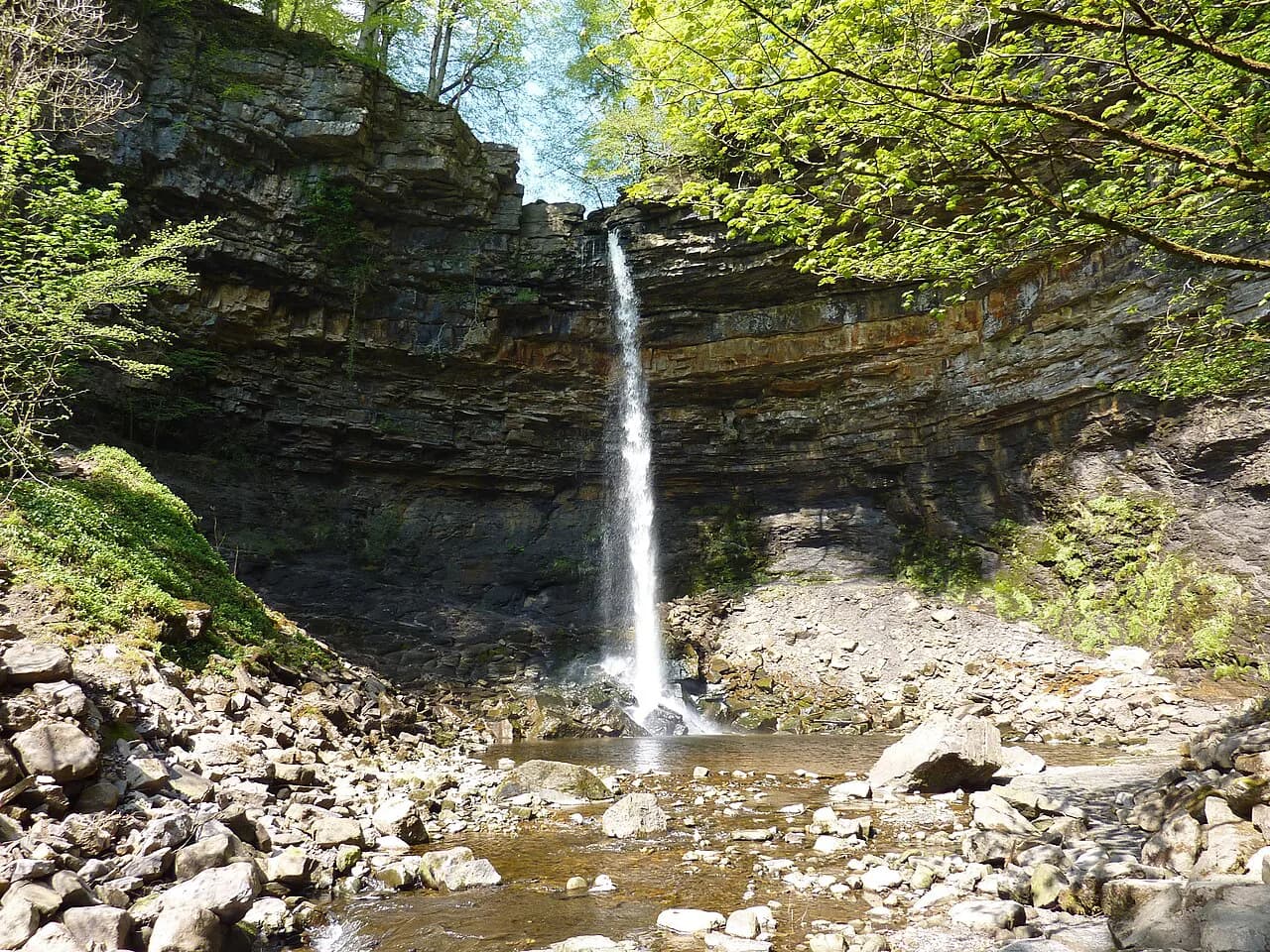
Build in daylight, carry water for the whole day, and treat the 12-hour mark as a target rather than a gate. If you want an easier day in the same national park, the ingleton waterfalls trail and the River Twiss offer woodland walking without the summit grind.
Frequently Asked Questions
Where does the Yorkshire Three Peaks route start and finish?
The classic circuit starts and finishes at Horton-in-Ribblesdale, where there is a village car park and a station on the Settle-Carlisle line. Guided attempts can also begin at Chapel-le-Dale or Ribblehead, which trims the flat approach miles and puts you onto the big climbs sooner. Whichever start you choose, you still cover Pen-y-ghent, Whernside and Ingleborough in one circuit.
How long is the Yorkshire Three Peaks walk?
The classic line is 39.2 km (24.5 miles) with roughly 1,600 m (5,250 ft) of ascent. Route variations and detours push quoted distances to between 24 and 26 miles, so treat any single figure as the standard line rather than a fixed measurement. All three summits and the connecting valleys sit on Ordnance Survey Explorer map OL2.
Can you walk the Yorkshire Three Peaks in a day?
Yes, if you are a regular hillwalker used to long days on rough ground. The traditional target is 12 hours, which works out at about 3.5 km/hr including short breaks and a lunch stop, but many walkers take longer. A summer start at first light gives you around 15 hours of daylight, which makes the day far more comfortable.
Which of the Yorkshire Three Peaks is the hardest?
Pen-y-ghent gives the steepest, rockiest start with hands-on scrambling on its upper section, so it feels hardest while you are fresh. Ingleborough hides a short, sharp pull onto a flat plateau and lands late in the clockwise day, when tired legs notice it most. Whernside is the highest summit but has the most gradual climb of the three.
What order should you walk the Yorkshire Three Peaks?
Most walkers go clockwise, taking Pen-y-ghent first to get the scrambling done while fresh, then Whernside, then Ingleborough. Anticlockwise gives a gentler climb up Ingleborough but a steeper pull up Whernside and a scrambling descent off Pen-y-ghent at the end. A third option puts Ingleborough first so the hardest climb comes early and the day finishes on Whernside's gentler ground.
Where do you park for the Yorkshire Three Peaks?
Horton-in-Ribblesdale has a village car park, with limited street parking that fills early on summer weekends. Ribblehead and Chapel-le-Dale offer smaller free starts with limited spaces, so an early arrival is part of the plan. Horton also has a railway station on the Settle-Carlisle line, and the same line calls at Ribblehead, so you can ride back if you stop after Whernside.
Is the Yorkshire Three Peaks the same as the National Three Peaks?
No. The Yorkshire Three Peaks is Pen-y-ghent, Whernside and Ingleborough, all inside the Yorkshire Dales National Park and walked on foot in one circuit. The National Three Peaks links Ben Nevis, Scafell Pike and Snowdon with road transfers between them, usually inside 24 hours. The Yorkshire version is simpler logistically even though the walking distance is similar.
Can you do the Yorkshire Three Peaks alone?
You can, provided you are a fit hillwalker comfortable with long solo days in hill country. There are few places to refill or shelter on the circuit, so carry water and food for the whole day and know your bearing off each summit. A led attempt suits anyone who would rather hand navigation, pace and safety decisions to a qualified leader.
Sources
Trail notes for your next trip
Optional updates when we add or revise hiking guides.
You might also like
Continue reading
More guides you'll find useful